the Dragon Fountain is on the move again

The Dragon Fountain - the ornate bronze fountain on Rådhuspladsen - is on the move.

Today, work starts on dismantling the large sculpture of a bull fighting a dragon and it will be taken to the workshop of Skulptur Støberiet for restoration and repair. Then, on Friday, the bronze basin supporting the sculpture will be removed from the square and it too will be taken to the workshops.

The fountain has had a complicated history.

In 1889, there was a competition for a new fountain on Amagertorv - the public square about a kilometre to the east - and Joakim Skovgaard submitted a design. That design was then modified by Thorvald Bindesbøll but the competition was won by a design for a fountain by Edvard Petersen and Vilhelm Bissen.

Then, in 1901 as part of the Town Hall Exhibition of Danish Art, the Dragon Fountain design by Skovgaard was resurrected, cast in bronze in the foundry of Lauritz Rasmussen and installed in front of the city hall but with just a basin and the dragons around its rim.

A large outer basin was added in 1908 and then, in 1915, a central group for the top of the fountain with a bull and a dragon in combat was shown to the public as a plaster version but it was not until June 1923 that the bull and dragon were finally cast in bronze and installed.

In 1954, when H C Andersens Boulevard was widened, the fountain was moved further into the square by 25 metres and at that stage the outer basin was removed.

Once the bronze work of the fountain has been restored - with the work planned to take about two years - it will be reinstalled in a more central position in the square, on the axis of the main entrance into the city hall, and set further out from the city hall, on the cross axis of the Walking Street.

The outer basin will also be reinstated to make the fountain a much more prominent feature of the public space.

Skulptur Støberiet

the fountain with its outer basin in the earlier position, about 25 metres further west, before H C Andersens Boulevard, the main street running across the west side the city hall, was widened

the fountain earlier in the summer in its present location in front of the city hall
when restoration work has been completed the fountain will be returned to Rådhuspladsen but will be in a new position on the axis of the main entrance to city hall and with the outer basin reinstated

photographed yesterday, Sunday 1 November, with boarding in place ready for work to start today

Amagertorv with the Stork Fountain by Edvard Petersen and Vilhelm Bissen …. the Dragon Fountain was designed for this square but did not win that competition and was only installed 12 years later on Rådhuspladsen - the square in front of the city hall


Copenhagen - capital of architecture


Whenever possible, I walk and it’s not often that I go out without a camera. It’s possible that I have walked past some of these buildings hundreds of times but the light changes through the day and over the seasons and there is always something new to see or something to understand or to photograph in a different way or from a different angle because it is seen in a different context.

Copenhagen is an amazing city - a rich and diverse built environment that is to be UNESCO Capital of Architecture in 2023.

select any image to open in a full-screen slide show


Copenhagen - Capital of Architecture


I have to admit that I probably spend too much time talking about planning in the city and too much time getting angry about bad buildings or inappropriate developments so this is a way to reconnect … a way to celebrate the amazing quality and the amazing variety of the buildings in the city - old and modern - and to encourage people to look around and to look up because this is a city that has amazing buildings of all shapes and materials and forms and styles.

select any image to open in a full-screen slide show


Københavns Kulturkvarter / Copenhagen Cultural District

Københavns Museum / Museum of Copenhagen, Stormgade

Gammel Strand


The idea of grouping together major monuments and museums and galleries in the historic centre of Copenhagen to promote them as a Kulturkvarter or Cultural District appears to have been given a reboot.

Simple and well-designed information panels have been set up near 19 of the buildings where you can pick up a leaflet with a map that also has short descriptions of each building or cultural institution in Danish and English. All are within a 10 minute walk and the guide does not suggest a proscribed route so it is a good way to explore but to let yourself be diverted or distracted as you walk in the area between the harbour and the west end of the old city and covering the whole of the area of the old castle - now the palace and government buildings of Christiansborg.

There are links to the Instagram and Facebook pages of the Kvarter / Cultural District and the web address of each destination is also given so the guide can simply be the entry point for using a mobile phone for more information about opening times and so on.

Københavns Kulturkvarter
Kulturkvarter on Instagram
Kulturkvarter on Facebook


controversial redevelopment of the French School on Værnedamsvej in Frederiksberg

It looks as if a controversial development of the French School in Frederiksberg is now on hold.

Simon Aggesen, Conservative mayor of Frederiksberg, had absented himself from voting because he lived close to the proposed development but he-has moved and he has now announced his opposition to the project which changes the balance for any vote by the city council.

The Lycée Francais - now known as Lycée Francais Prins Henrik - opened in 1954 on Dag Hamerskjolds Allé and, when the number of pupils increased, the school moved first to Blegdamsvej and then to Frederiksberg Allé 16 and in 1992, into large 19th-century school buildings at Frederiksberg Allé 22 that had been the Schneekloth's School. In 2005 the Lycée expanded into buildings reached from Værnedamsvej.

An American private equity fund - Angelo Gordon - has submitted plans for a major redevelopment of the school site that would add 4,000 square metres to 7,325 square meters of the buildings to be retained and there would have been new housing and a large, new underground carpark with space for 70 cars.

This area around Værnedamsvej is already one of the most densely occupied parts of Frederiksberg and local people want a much more modest scheme here with some new housing but with a series of quiet courtyard spaces off Værnedamsvej to balance the bustle and lively atmosphere of the well-used and popular street and to form a new link through to Frederiksberg Allé.

This is a densely-packed block surrounded by older apartment buildings and there will certainly be conflicts over rights to light and air to adjoining properties if the scheme proceeds as proposed.


Værnedamsvej is across the top of this view with Gammel Kongevej to the left and Frederiksberg Allé and the circus of Sankt Thomas Plads to the right with the large 19th-century buildings of the school at the centre of the block.


recent criticism of Nørreport


Recently, there was an article in Politiken, the Danish daily newspaper, that criticised the square above Nørreport station because it’s looking tired and slightly scruffy.

In part, of course, the remodelling of the area completed five years ago has been a victim of it’s own success.

When COBE, the architects responsible for the remodelling, took on the commission, their first task was to look at how people moved across the space when the station entrances were on an island with traffic moving along both long sides of the space so, wherever you were coming from or going to, you had to cross a road to get to steps down to the trains that at this station are below pavement level. By closing and paving over the road on the city side and by pushing all through traffic, including buses, to the long west side, then, in effect, the problem was halved.

This is still the busiest transport interchange in the city and, for that reason alone, it can not be a place where people can or should be encouraged to stay so it can’t really be too inviting. There are seats and people seem happy to stand around waiting if they have arranged to meet someone but that it is about it. It is and has to be a transit space.

The article criticised the sunken areas where bikes are left but actually they work remarkably well given the phenomenal number of bikes left here. Generally, few bike spill out over the paving where pedestrians walk and very few pedestrians find it clever or necessary to cut between the parked bikes and when I checked, over a couple of different days, they were not full of litter as suggested.

Paving and metal drainage and service covers that divide the huge area into an overall chequer or square pattern are certainly looking worn and dirty and cracked. In part this is because heavy vehicles sometimes need access and can cause damage but possibly the main problem with the paving is the colour and the lack of texture. As with the paving on Købmagergade - the long pedestrian street that starts at Nørreport and runs down to Strøget - the Walking Street - the paving is too pale and too smooth. Areas of older stone setts in the historic centre tend to have much darker greys and even some purple tones and that seems to provide a better visual base for the buildings and, in a practical way, show dirt and stains less although nothing can disguise the blobs of chewing gum. A bin it and don’t spit it or flick it campaign is desperately needed.


Nørreport does work well at night with soft light from the ventilation towers that makes it feel safe but the light is not so bright that you feel as if you are moving around under the glare of security spot lights.

Maybe some areas of paving can be improved and possibly some new trees at the north end might help to screen off Gothersgade and give a sense of enclosure but more general planting is not necessary …. it has to be understood that this area should not be treated as if it was an enclosed space like a square because it is simply the centre section of a long but wide road.

It’s good to have at least some urban areas in the city that are designed to be busy and bustling spaces.


Israels Plads

There has been no similar criticism of Israels Plads that, like the remodelling of the pedestrian area of Nørreport, was also designed by COBE. This is still one of the most used and most popular urban spaces in the city …. an obvious planning and design success.

Here, unlike with the paving across the square at Norreport, the hard landscaping seems to to have survived well and in part that may be because a relatively high kerb around the square, with an edge in Corten steel, discourages vehicles from driving onto the central space.

The area at the north end of the square - close to the food halls - is still incredibly popular - people buy food and drink in Torvehallerne and come across here to sit on the steps to watch what is happening on the square. The large fenced area for ball games is very well used.

The trees are growing well and, as they mature, they make an ever stronger link through to the established and dense tree planting of Ørestedsparken to the south. These trees on the square provide shade for people sitting on benches around each tree but the trunks are high enough that the branches and leaves above do not interrupt lines of sight.

This is a huge space - well over 100 metres from side to side - from building to building - and 140 metres from the park to Vendersgade - the road that separates the square from the equally large area around the two food halls.

With such a large area there is certainly space for several different events or areas of activity going on at the same time without people falling over each other or being distracted by any noise. Perhaps in this post-Coronavirus age Israels Plads should and could be used as a venue for many more events but that is up to the city council.

About the only thing I would complain about is that the fountains and water channel at the park end are rarely running but I guess parents who have had to fish out their wet toddlers would not necessarily agree.

select any image to open in slide show


wasted opportunities?

OK …. just to get shot of some of the negative posts in my to-do tray.

This is Kalvebod Brygge.

What a waste of an amazing frontage to the harbour. The quay faces south-east so is bathed in light reflected off the water so, in theory, it’s the sort of site any developer should be prepared to die for.

Some of the buildings are good and would grace any ordinary downtown office area but as part of a large group here they are more than uninspiring. To be fair, there are understandable excuses or at least good reasons. This is a narrow strip of land that by the 1970s was trapped between a dock road that had become a major entry into the city - so had and still has heavy traffic - and a stretch of harbour that might have been developed commercially in the 1950s or 1960s if container ships had not got so big or Køge bay was not so shallow. If you look at photographs from the mid 1950s, when the new bridge at Langebro was completed, then you can see why planners and the city thought almost anything would be better than what was here and when work started on the buildings it was well before harbour-side apartment buildings became the money earners they have become.


Langebro in 1956 - just after the new bridge opened - with the tower of what was then the new Europa Hotel and is now Danhostel Hotel on the city side of the bridge and with Kalvebod Brygge beyond

What is less easy to understand is more recent development behind on a second narrow strip of land that runs parallel on the other side of that dock road, between the road and the main railway line into the central station from the west.

The Tivoloi conference centre and a new hotel - Copenhagen Cabinn - should be near the top on any list of the ugliest buildings in the city and I'm not convinced that the redevelopment of the old post office site at the east end will help.

Beauty is not everything but people should want to be here and should enjoy being here. It’s not even clear these buildings even have a viable and useful future as office buildings when, post virus, large office buildings are probably what people don't need or want.

The quay itself is now part of the long and carefully-planned bike route round the harbour and the rapid development of new housing around the south harbour, further out down the harbour, is bringing more people through here on their way into the city but is that enough?  

What Kalvebod Brygge needs is a long-term development plan with strong planning controls. That's not just control over plot boundaries on land that had been bundled up in convenient lots for the highest bidder or even about controlling building use. A new inner-city IKEA store is still in the pipe line with a new bus station that seems to be oddly located and, maybe or maybe not, there will be much-needed student housing … but more important, there should have been controls over heights, sight lines, massing and connections - visually and physically - between buildings. 

Danish urban landscaping is some of the best in the World but I'm not convinced that the right planting and some good seating will pull this little lot together.


Generally, the tight street layout of the first stage of development in Nordhavn, now near completion, actually works. 

Somehow it seems appropriate with strong and distinct architecture and with buildings huddled together against the worst weather the sea can throw at it. Maybe that's too romantic and optimistic a description - too like the prose of a travel brochure - but there are some good buildings here including The Silo and the new metro station at Orientkaj - both by COBE who also produced the initial area plan - although I'm still not completely convinced by the shocking blue of the International School by CF Møller.

But why oh why are the new apartment buildings along Sandkaj so boring?

Sandkaj is the south facing quay, and these apartments look across Nordhavn Bassin to the UN building, so what a waste of an amazing location. It's as if a planning assistant was given a box of perfectly functional but uninspiring apartment buildings and had to put them out for the punters. This is like spreading out magazines in a dentist’s waiting room. 

It did not need much … just a bit of thought and more careful arrangement of the blocks with a bit of height somewhere and a bit of recession - so a bit of shadow - and certainly a coherent and a bolder use of colour and texture. Choosing an apartment here must be like picking out a suit on a long rail of basically identical grey suits in a department store. Here's one with two bedrooms and a balcony in pale brick or here's one with two bedrooms and a balcony in a slightly darker brick or how about this one with two bedrooms and a balcony ………….

As for Carlsberg City ..…  that is panning out to be a travesty with development at any cost with good planning sacrificed so a lost opportunity of the worst kind and the most scandalous waste of an amazing site and a waste of some of the most astonishing and quirky industrial buildings in the world. Maybe more about Carlsberg City another time. I have to worry about my blood pressure.


City Park in Ørestad

In September 2019, work started on a new and important phase of landscaping, with new planting, at Ørestad Byparken - the City Park in Ørestad. Ørestad is the large area of housing and offices on Amager, that issouth of the city centre and to the west of the airport.

Opened in June 2008, from the start, city park was planned as the major open space for this new area of Copenhagen. It occupies a large city block that is over 460 metres wide between Center Boulevard to the west and Ørestads Boulevard and the elevated line of the metro to the east. From north to south, the park is 170 metres across with four large blocks of apartment buildings across the north side and four large blocks of apartments across the south side. When the first of these blocks were constructed, these were then some of the largest and tallest apartment buildings in the city - other than tower blocks - so the park is, without doubt, urban in character.

Initially, there was just a single wide path running at an angle across the space between the two boulevards but, over the last decade, areas for sports have been laid out and play equipment and sculptures have been added along with large, semi-mature trees with some moved here from Kongens Nytorv - the large public space in the centre of the city - where the trees there had to be cleared for construction work to start on a new metro station that opened in 2019.

The regular plan of Ørestad City Park and the high buildings on three sides make this the modern equivalent of the park at Enghave in the south-west part of the city that was laid out in the 1930s.

Early photographs of the park at Ørestad show that at first it was not just stark but was bleak but the work of the Ørestad Landowners' Association, now responsible for the park, have transformed the area into a major asset for the community.

This, the most recent phase of improvements, was designed by the Copenhagen landscape architecture practice SLA Arkitekter. It covers a relatively small area at the north-east corner of the park but has created what is already a densely-planted buffer zone between the park and the main road and metro line that form the east boundary. There are mounds and features like a new area for playing petanque that was not in the original plan but was requested by local residents and this work creates a number of more enclosed spaces or outdoor rooms around the east and south sides of an existing football pitch.

Planting has been kept as natural as possible, for biodiversity, and has wild meadow flowers as ground cover. The hard landscaping, with bold rounded grass-covered mounds, has curved and twisted pathways for interest and this softens the hard and angular forms of the large buildings around the park.

SLA Arkitekter


Carlsberg Byen

L1132341.JPG

I keep going back up the hill to walk around the building site that is the Carlsberg redevelopment area in the misplaced hope it will look better but each time it looks worse …. more densely built up with the industrial heritage more and more overwhelmed and over shadowed as the new tower blocks crammed onto the site rise and rise and rise.

Eventually, and maybe soon, architects and planners will begin to understand that this is one of the greatest missed opportunities in the building history of the city. Not a missed opportunity to make money of course but that is the problem.

As you walk around, then what is obvious is that accountants or the money men must have overseen or overruled every decision ……. move that block ten metres that way and make that a tower rather than a courtyard and you can squeeze another block in there.

OK, it's still a massive construction site but enough is finished that you can judge pretty well what the end result will look like.

For a start, old brewery buildings have, at best, become bit players or, at worst, they have been gutted to become frontages … a sort of inconvenient façade that has been grudgingly retained.

Or what were grand buildings that impressed because they were so big and so weird but somehow so right …. a chimney ringed by dragons, a gate tower supported on elephants … now look little and insignificant …. the amazing chimney no more than a street sculpture in a back courtyard.

The remarkable asset of the site was that rare commodity in Copenhagen ….. slopes …. because this is at least a hill even if it was never a berg.

There are odd flights of steps up but generally to courtyards raised over car parks but it could and should have been all so much more dramatic. The starting point should have been the topography and the amazing historic buildings. Instead, the starting point was the bottom line.

When Bohrs Tårn / Bohr Tower was criticised, one of the architects explained that Carlsberg Byen was to be seen as a Tuscan hill town and to judge the development on just the first of the tower blocks to be completed would be like judging San Gimignano from a single tower but I've been to San Gimignano and Carlsberg, rising up beyond Vesterbro, sure isn't a Tuscan hill town.

There are a couple of nice little squares so Jan Gehl and his team seem to have had some influence but again, it could and should have been so much better. The drama has been stripped out where there could have been a progression through a sequence of good spaces and good views through and across the site should have made use of being able to look down or look across or look up to another building and there could have been more play with scale but this is a development that has managed to make four life-sized stone elephants look small.


From a visit years ago, I remember a playground that was in a tree-lined hollow with an incredible suspended walkway and a car hanging in the trees and was amazed, back then, to see how imaginative planners could be and how committed they were to children not just playing but pushing boundaries. Trying to find the site now, it is a construction yard but it looks as if the coombe will be crammed into the back yard of a tower where it can only be a damp and overshadowed hollow for apartment balconies to look down on.

If you prefer a stripped-down modern Scandinavian aesthetic, then the old buildings of the brewery were difficult to like but at least you can appreciate the money that was spent on some incredible craft and building skills. And there are some more recent but imaginative buildings that play with ideas and with materials so the brick terraces of De hængende Haver / the Hanging Gardens or the golden discs of Lagerkælderen - the cellar that was not a cellar.

The new buildings are basically all concrete slab blocks of various heights and most are fairly standard with relatively standard but relatively large apartments so all that really differentiates them is the unfettered use of cladding …. anything goes as long as it's different. And the other factor you have to consider here, even if you can afford an apartment, is if you have enough money to get an apartment and a balcony that is not in shadow or overlooked. A large number of drawings in the Lokalplan with shadows from towers in different seasons and different times of day show they were concerned back then about shadows but that doesn't seem to have meant many changes.

There are some good buildings …. the apartment building by Praksis that looks over the J C Jacobsens Garden plays clever and interesting games with the brickwork and with the traditional form of a Copenhagen apartment building but this is for the Carlsberg Foundation and clearly an appropriate amount of money was invested so the consequence is a building with an appropriate quality in both its design and in its construction.

The Carlsberg redevelopment is an interesting social experiment …. with a new or, at least, a modified Copenhagen life style. How will Copenhageners cope with living so far above the streets and squares …. or are all these apartments for foreign investors and incomers?

The only saving grace is that people in this city are still incredibly respectful of their streets and public spaces … or at least if Copenhagen streets are compared with the rubbish and vandalism found in so many other densely-built and crowded cities. If the spaces around these apartment buildings become unloved and scruffy then, here on the hill, they really will have built today the ghettoes of tomorrow.

Lokalplan 432, Carlsberg II, December 2016
Carlsberg Byen

Surely, Bohr Tower, and the buildings around it, are contenders for an award as the ugliest new buildings in the city

then ……. and now


buildings that depend on insulation and cladding


a walk from Nørreport to the harbour

If visitors, new to the city, know any one street name then it’s likely to be Strøget - the Walking Street - even though Strøget is not one street but a series of old streets and squares between the square in front of the city hall and the large square of Kongens Nytorv …. a route from the site of the old west gate of the medieval city to the site of the old east gate.

So it’s an easy and popular route across the width of the old city and, because it was pedestrianised in 1962, it is a good way to get a feel for the city and it’s streets and squares.

However ….. if you are new to Copenhagen and want to get a less crowded so quieter feeling for the size of the city and of its topography and its architecture, then perhaps a better route for a first walk would be to start from the metro or suburban railway station at Nørreport - the site of the old north gate - and walk down to the harbour.

The first part of Nørregade does not look promising. It’s fairly narrow with ordinary houses and shops from the late 18th and 19th centuries. There are interesting buildings like the Folk Theatre, on this first part, pavements but street furniture does not appear to be as carefully kept as on some of the other and more popular streets. 

The first major building is the fine brick church of Sankt Petri, on the west or right side of the road. Set back in a quiet churchyard, it dates from the 16th century, but is on the site of an earlier church.

Opposite are the old buildings of the university and then the cathedral - Vor Frue Kirke.

Then, on to Gammeltorv - considered to be the oldest market square in the city - with an ornate fountain and then - crossing the line of Strøget - you drop down past the site of the medieval city hall - destroyed by a catastrophic fire in this part of the city in 1795. The outline of that old city hall is marked in the paving. 

Below is Nytorv - a relatively new square created in 1610 by clearing houses below the city hall - and the new city hall, built after the fire, was designed by C F Hansen and with it the city prison was completed in 1811 …. some of the most dramatic classical architecture in the city. 

From Nytorv it’s on down to the canal with views along the wharf of Nybrogade and Gammel Strand - approximately the line of the foreshore of the medieval settlement. 

Stormbroen is the bridge that crosses the canal from Slotsholmen. The name - The Storm Bridge - is because this was the area, at the south corner of the city, that was attacked by the Swedish army in 1659 when they nearly took Copenhagen.

From the bridge, there are the first views of the most important civic architecture on Slotsholmen - with Christiansborg - the site first of the castle of Absalon, the Bishop of Roskilde, which became a royal castle and is now the parliament building. 

To the right is a large 18th-century palace built for a Crown Prince and now the national museum and then down the canal with fine palaces and apartment buildings to the harbour and to the new Danish Architecture Centre on one side and the old brewhouse in red brick on the other - built for Christian IV in the 17th century so his navy could have a generous and certain supply of beer.

① Vor Frue Kirke, by CF Hansen, 1811-1829 - from the south
② Sankt Petri
③ Sankt Petri
④ Telefonhuset and Sankt Petri - from the north
⑤ gateway to the churchyard of Sankt Petri and Telefonhuset
⑥ Krystalgade - from Nørregade with the Round Tower
⑦ Vor Frue Kirke - the cathedral - from the north
⑧ Bispetorvet and the monument to the Danish Reformation
⑨ from north of cathedral with Gammeltorv and Nytorv beyond
⑩ looking down Gammeltorv from the north end
⑪ the Caritas Fountain on Gammeltorv installed in 1608
⑫ from Gammeltorv - looking north to the cathedral
⑬ the city hall on Nytorv, by CF Hansen, 1805-1811
⑭ the archway between the city hall and the prison by CF Hansen
⑮ Magstræde from Rådhusstræde
⑯ the canal with the houses of Nybrogade and Gammel Strand

note:
from Nørreport to the harbour is a walk of 1.35 Kilometres

Rådhuset-1479-1728-RES-1.jpg

the north front of the old city hall that was destroyed in the fire of 1795


this is an experiment ….
if anyone wants to follow the walk, then this image can be opened, saved as a jpg file and printed on A4 paper without margins


① the city hall by CF Hansen, on Nytorv (now court house)
② along canal to Gammel Strand and Thorvaldsens Museum
③ the houses of Nybrogade
④ Marmorbroen / Marble Bridge, by Nicolai Eigtved, 1733-1745

⑤ Christiansborg from Marmorbroen / the Marble Bridge
⑥ apartment building by H C Stilling 1850
⑦ Frederiksholms Kanal, looking south towards BLOX
⑧ Bryghus / Brewhouse built for Christian IV in 1608


Flanøren / the flaneur

The new Museum of Copenhagen in Stormgade opened in February and has separate galleries or rooms for each of the distinct periods that together make the city what it has become …. the periods of construction and expansion that, together, explain the stages through which the city developed.

Space in the museum is good but certainly not limitless so objects from the collection in the different displays have been selected with care because they have to explain their part in a clear but sometimes fragmented story about important events and different periods of growth and of change. 

In one of the upper rooms there is a display about the city in the late 19th century with a large model of the new city hall at the centre … a building that was finished around 1905. This was the period after the ramparts and the gates of the old city were dismantled, so it was a period when the city began to expand outwards and the number of people living here increased rapidly. It was also a period of amazing developments in technology and in manufacturing … a period when trams appeared in the city and telephones and flushing toilets … a period when their lifestyle then seems familiar and not actually that different from our own lives now.

This particular part of the story of Copenhagen has been told by focusing on eight types or characters or professions from that period. People who have been chosen to represent the ways in which life was changing.

They include the Tram conductor; the Kiosk attendant; the Architect and the Engineer … so that's two jobs that were new in the city and two increasingly-important professions. There is also the part of the story of life in the city that is told through The Child because so many schools were built in this period and it was when education became available for more people and changed more and more lives. There is Cyclisten - or the cyclist - representing both new popular transport but also to show that this was a period with more leisure time for more people, and there is Kanonfotografen or the street photographer and Flanøren.


For fairly obvious reasons the last two - Kanonfotografen and Flanøren - were of particular interest ………

By profession I'm an architectural historian and a social historian but, throughout my career, looking at photographs and taking photographs have been essential parts of my work … so, taking photographs as a record; using historic photographs as important and reliable evidence that document change and using carefully-selected photographs to get across information in books and exhibitions and lectures. But I would not describe myself as a street photographer even though now I spend much of my time in the street taking photographs.

There are two types of street photographer covered by that broad term:

The first - and the focus in the museum in the gallery about the late 19th century - could be described as commercial photographers who took their studio to their customers and often, but not always, with a mobile dark room. They were taking pictures of people in the street who wanted their photographs taken - or were persuaded by the photographer that they wanted to have their picture taken. Street photographers produced the outdoor version of the studio portrait.

Until I saw the camera in the museum, and the background information with it, I had not understood just how quickly street photographers became common in the city or just how popular they were right through to the 1960s. There is one view of the square in front of the city hall that appears to show at least three cameras set up so trade must have been good and clearly, for many visitors, part of a good day out in Copenhagen was to have a photo taken.

Presumably, some of these photographers moved across to using polaroid cameras but as these became cheaper, and people could afford their own Polaroid camera to take their own instant pictures, and then, as Polaroid cameras were, in turn, replaced by cheaper and cheaper digital cameras and then phone cameras, these street photographers disappeared.

Of course, where they have resurfaced is with the photographers who work the fashionable streets of cities like New York or London or Milan and take pictures of people on the street because of their clothes or their style and then post the images to Instagram …. but that’s another story.

The second type of street photographer in Copenhagen were the photographers who photographed the streets and of the buildings and of life on the streets in the city and their works can be seen throughout the museum.

Some were taking photographs of the new streets and new buildings or of the historic buildings for books or for magazines or to sell as prints or for popular postcards and major events in the city were photographed - particularly for newspapers. Some photographers where taking photographs to document and to reveal social situations or social interactions and would now be described as a photo journalist rather than as a street photographer.

One of the first and perhaps the greatest of the early photographers to record everyday and more mundane aspects of life in a city was the French photographer Eugène Atget, who, working in Paris, took photographs of unlikely subjects like alleyways or shop windows or piles of old clothes in second-hand shops. There were also major American photographers like Paul Strand and then Walker Evans, who recorded the reality of the life of the poor. They would not have described themselves as street photographers but that was where they worked.

The Danish photographer Jacob Riis was actually eight years older than Atget. Initially, he was a journalist but then became a photographer and is now described as a documentary photographer. Riis emigrated to New York when he was just 21 and worked there rather than in Denmark so I am not sure how much his work influenced photographers working here but certainly there are amazing photographs in the city archive that record the slums and the alleys of the city that have long gone so photographers in Copenhagen were not simply interested in polite and middle-class subjects.

Kongens Nytorv ….
photographs taken around 1900

above all,
these photographs show just
how much space
cars need and take

the photographs
are from the City Archive


street camera
in the Museum of Copenhagen


not all the old photographs of Copenhagen are of the affluent streets and squares - this is Adelgade where the old house were deemed to be slums and were demolished in the 1950s

At first I was perplexed by that word Flanøren until I read the information panel where it explained that it comes from the French flâneur … a word translated as loafer if you want to be rude or, in some dictionaries a flâneur is defined as “an elegant idler” which is marginally more polite but not much more.

And they were mostly young men that you see in the photographs. Apparently, they had also called themselves Boulevardiers so obviously they strolled backwards and forwards along the fashionable streets and through the squares of Copenhagen seeing and being seen. It is fascinating that this was clearly a time when anything French had to be good …. from the boulevards to the mansard roof.

I realised that I spend much of my time walking up and down the streets of Copenhagen to take photographs but I don't think anyone would call me elegant - idler maybe - but elegant no unless it was with irony. 

Kongens Nytorv by Paul Fischer


Both the paintings and the photographs by the Danish artist Paul Fischer - he took photographs as a first stage for composing his paintings - show how the public space of the streets and the squares then played an important part in everyday life in Copenhagen and, significantly, well over a century later, the way that people in the city use the public space of the streets and the squares continues in much the same way.

Walk along Sønder Boulevard - particularly on a Friday evening after work or on a sunny Sunday afternoon - and you'd probably assume that the large number of people sitting outside and the number of children playing and the number of people using the sports courts or exercise equipment there must all be part of a relatively recent Copenhagen - a Copenhagen with much more leisure time - but, actually, using public space for exercise and for socialising has a strong and well-established history.

Copenhagen was tightly constricted by the city ramparts and even in the 16th century it must have felt crowded …. after all, the first deliberate expansion of the city was with the building of Christianshavn in the early 17th century.

Certainly through the 18th century and the 19th century, it must have felt as if everyone was living on top of each other. Through to the 1860s, when the ramparts and gates were dismantled, houses and people were tightly packed together. Over the centuries, because the city could not expand out beyond the defences, garden plots and courtyards were built over and if you look at older houses that survived the numerous fires then you can see that most started with two floors or two main floors with basements and attics but over the years nearly all of them had extra floors added so they were enlarged to three and then four and finally five floors of apartments. And, as now, if an old and low house was demolished then what replaced it was inevitably taller.

Even after the ramparts were removed and the city was able to breath … imagine taking off a tight corset after three centuries … it was not the end of densely packed housing. The new districts of Nørrebro and Vesterbro were built outside the ramparts but both areas had and still have some of the most densely-packed areas of housing in Europe. That's one reason why the public space of Sønder Boulevard, running across the south side of Vesterbro, is now so important for the people who live in the area.

It is hardly surprising that people in the city took over the streets and the squares and the wide roads immediately inside the ramparts and walked on the broad path on top of the ramparts as places to exercise and socialise. The King's Garden was opened to the public in the late 18th century and citizens have been using it ever since. Families stroll through the cemeteries in the city at weekends and there are traditions for taking the first walk in the Spring around the ramparts of Kastellet or taking a Sunday walk along Langelinie to look out across the Sound. Even Tivoli seems to be as much about walking and talking and sitting and drinking as it is about rides and thrills.

If Coronavirus has proved one thing it's that it's hard to keep Copenhagen indoors.

Paul Fischer (1860-1934)
self portrait (above) and
one of his photographs of
Kongens Nytorv in the snow

Fischer did not paint the gritty reality of life in Copenhagen around 1900 but, generally, the life of the middle classes although there are studies of flower sellers and market traders


Hotel Cabinn Copenhagen

L1132276.JPG

This is the most recent hotel to open in Copenhagen and certainly the ugliest hotel in the city and no one seems quite sure how it happened …. the city council and planners have kept quiet since it emerged from behind scaffolding; the architect has disowned it and the owner has tried to claim that it is a work in progress.

I've always thought that the Tivoli Hotel and Congress Centre is one of the ugliest buildings in the city but Hotel Cabinn Copenhagen on Kalvebod Brygge has muscled in front - quite literally in front - but it hardly seems a sustainable planning policy to hide monstrous buildings by building something even more ugly in front.

Kalvebod Brygge looking towards the city
with the Tivoli Hotel behind
not the finest view in Copenhagen


update - Hilton Hotel on the harbour

Work is moving forward to convert the old Nordea Bank offices for a new Hilton Hotel on this prominent harbour site by Knippelsbro. Now you can see just how high the extra story will be and you can see just how the hotel will break through to the quay - to colonise it as an attractive new feature - a valuable commercial asset - for the new hotel.

And in return ……… the city gets some new steps down to the quay from the bridge.

The old office building was much too big and, with hefty concrete cladding, brutal and ugly but in part it was those things for clear reasons. When it was constructed in the 1950s, the harbour was a working port and not a tourist destination and this was the offices of the Burmeister & Wain ship yard that was crucial for providing jobs for the city and was a major player in the post-war effort by the country to restore the economy. Looking pretty was not on the design brief.

But right here, right now, if the Hilton Group had cleared the site and started again, a scheme for a building of that size and in that position would not be given planning permission.

And then they pushed the boundaries by asking for and getting permission to add an extra floor on a building that was already too big.

Until last year I lived in an apartment buildings to the south, behind the church, and looked out across the top of the trees in the churchyard with a clear sky line broken only by the church tower and with no one looking in. Then work started and the Nordea building took a deep breath and puffed out and began to loom over the trees.

Those apartment buildings are not the most stunning design but they are well designed and carefully designed to create pleasant living space and good streetscapes on land where there had been dry docks and sheds that no one could see a way of preserving after the yards closed. More to the point, planning controls kept the apartment buildings to the same overall height as the gutter or eaves of the church …. so not to the overall height of the church roof and not to the overall height of the spire but to the height of the body of the church. That development showed at least some respect for the historic buildings that still do and still should dominate the area.

In the general sweep of things I'm only a visitor to the city so it is not my place to be offended on behalf of københavnerne - who are certainly more than capable of defending their own values - but there seems to be something basically undemocratic about these huge international hotels that break the spirit if not the letter of Janteloven. The Hilton will make use of the nearby metro - though I guess most guests will arrive by taxi - and the ferry is at the back door to serve hotel guests and the quay will make a ‘picturesque’ backdrop from their harbour-side café or bar but I'm not exactly sure what citizens get back in return. Presumably, that huge glazed new top floor will be expensive restaurants and spaces for events but how many people in the city will ever use that unless they go just once to see what is up there. They don't need another ‘new perspective’ to see over their own city or a viewing platform to look down on their fellow citizens.


too wide or too long is as bad as too high

In grumpy moments, I rant here about developers building buildings in Copenhagen that are too high … buildings that are much too high for the city so they not only dominate and overshadow nearby properties but also and inevitably ignore or even destroy the human scale of the streets around.

But even buildings that keep to the general five or six floors found throughout the historic city centre can be just as intrusive and disruptive if they are too long and have facades with unbroken and unrelenting horizontal lines.

I'm not suggesting that developments that cover a block or a long street frontage should be given faux subdivisions …. a concrete office block hiding behind fake vernacular façades for instance.

Throughout the city, through its history and until the middle of the last century, single and relatively narrow plots dominated even when the building was part of a larger street group of contemporary buildings …. such as the streets of apartment buildings in the second half of the 19th century.

The few exceptions were if a new building was for the monarch or the state or the city when much larger buildings were required but, even then, long horizontal lines of plinths or roof gutters are normally balanced by either vertical elements of the façade, such as quoins or pilasters or by stronger vertical features on the facade designs so key sections that break forward or set back or by bold architectural features like turrets or porches.

Again, that is not to suggest architects return to Gothic towers like some weird fake world from Disney - good buildings should be true to their own period - but architects and engineers fail to see how several hundred metres of uniform glazing might be appropriate for an industrial or commercial building on an open site but is oppressive and unrelenting in a city-centre street.

With the primacy of the individual plots there is, in Copenhagen, an established street pattern that was influenced by the lines of the outer boundary of the defences so streets curve to follow a more important topography so Copenhagen is certainly not a city based on a grid and nor is it dominated by wide straight streets.

It means that the width of the street and how straight or how curved the street frontage is important along with the width of the street itself and the subdivisions of plot boundaries, marking the property of different individual owners, and, along with tight restrictions on height, all together determine the width and the rhythm and the character of the different streets.

In most streets that means that the different facades of different buildings form points of focus; define sight lines; mark progress along the street and give a human and so a comfortable sense of both distance and space. Basically it gives the city streets an appropriate scale.

And in Copenhagen that sense of appropriate scale does not mean small or self-effacing buildings.

There are many amazing streets in the city that could have represented this sense of an underlying rhythm and human scale but this view, looking south along the east side of Nytorv shows, when you look at the people on the pavement, that the buildings are neither small nor twee or quaint. This is strong, coherent, carefully articulated, architecture with large buildings.

Too many developers see their primary ambition has to be to produce a building that is novel for the sake of being novel - as their main selling point - but, in execution, too many turn out to be unremittingly boring and impose overlong facades that might look fine on a drawing board but, in reality, seen at an angle along a street of buildings, they follow a very different rhythm, and the intruder can easily make people on the street feel small and isolated.

Hotel Imperial by Vesterport suburban train station - designed by Otto Frankild and opened in 1958 - not a bad building but an unremittingly long building


another scheme for the cinema site

Another scheme has been submitted for the site of the Palads Teatret in Copenhagen.

This design, from the Bjarke Ingels Group, has a series of massive blocks that are stacked up but offset to follow the curve of the railway and of Hammerichsgade that together mark the west side of the site.

At the lower south end is what looks like an open amphitheatre that would step back and up from street level but it would face what is now a very busy road and would look across to a less-than-attractive block at the back of the Axelborg building.

At the north end of the proposed complex, these blocks would be stacked so high as to be as tall or taller than the tower of the SAS Royal Hotel nearby so - like the other scheme for a series of tower blocks bridging the trench of the railway - it would throw a deep shadow over streets and buildings to the west and north and would certainly dominate and interrupt the skyline from many parts of the historic city centre. Is the design really that good to be that intrusive?

The design of the exterior appears to be a stripped-down, simple and open white framework - a relatively elegant variation on international modern - but it could be anywhere - so it hardly seems to be site specific, apart from the curve, and, if it could be anywhere, then why not anywhere but here?

And there could be 12 cinema spaces within the building although that is hardly obvious from the exterior but then that is hardly surprising because the cinemas will be in the basement to free up valuable rental space where tenants will pay for their views out.

There is that overworked phrase about form following function in good design but it is still useful when turned the other way round because, in many situations, buildings are better when their function is reflected in their form. Cinemas now, since the arrival of the multiplex, are smaller and, in any case, cinemas, from their very function, have little relationship to the world outside once you are inside - detachment from the real world, some would argue, is a crucial part of going to the cinema - but this looks like an office block paying little more than lip service to being an entertainment complex.

In some locations this would not matter but here, just west of the city hall, the commercial life of the city has always existed alongside major venues for popular entertainment so this is or should be downtown offices alongside Times Square night life where the city made its money and spent it.

National Scala, a complex of restaurants and tea rooms and concert halls - the building that was on the site of what is now Axel Torv - closed in the 1950s but the amazing Cirkus building from 1886 survives across the square from the cinema site and, of course, Tivoli is just a block away.

Redevelopment of this site should be a reason for trying to not only revitalise the area but also to pull it together in a coherent way but, in the design shown here, this building would completely dominate the view from the entrance gates of the Tivoli gardens.

Surely there has to be a comprehensive development plan for this important but now rather vulnerable part of the city, that should re-establish the links between the fragmented areas of public space and should set parameters for what new buildings can or should be allowed, because each of the recent developments have gone their own way and that has meant destruction by an unrelenting attrition from developers.


what would be the view of the development from the entrance of Tivoli


the dotted line is the building line of Hammerichsgade extended across the trench of the railway tracks …. the one advantage of the other scheme - the development that would construct blocks across the trench - had this line as the back edge of a new public square with the 1930s building of the Vesterport suburban station at the centre and with all the new tower blocks in the wedge between that line and the Vandværksviadukten but with one large building beyond the viaduct.

the scheme from BIG respects the curve of Hammerichsgade on the west side but leaves a series of odd triangular spaces against the pavement - so undermining the line of the curve - and makes the line of Ved Vesterport the alignment of the entrance

is the redevelopment of Vesterport still on track?

With Covid-19 still to run its course and with uncertainty about what will happen now to the economy, it must be far from clear if the proposed development at Vesterport Station can or should proceed.

The ambitious proposal was to build over a section of the main railway line that here is set down well below the current road level as the tracks follow a sharp curve north from Vesterport Station before a tunnel that takes the trains on below street level to Nørreport.

For a large development in Copenhagen this is unusual because this is not a development of new land or about demolishing existing buildings to redevelop their site but about building in air space above a busy railway line so it is not surprising that the developers, along with private funding, are DSB Ejendomme - the property division of the state-owned rail operator.

For such a controversial development, there seems to be little information on the DSB web site although, a good video about the work of the company has, towards the end, a sort of stick or line-work animation of a relatively modest - so relatively low - scheme at Vesterport that, in the film, fans out along the top of the cutting, but not over the site of the Palads Cinema to the east although that building is now also part of the development, so the animation looks rather like a card sharp spreading out the playing cards to show he is not cheating just before he does.

Drawings for the proposed development that have been published in several newspapers and magazines over the last year or so show four massive tower blocks that rise up off an unbroken podium of buildings that are themselves as high as the buildings around. Two of the towers will be, surprise surprise, hotels.

These towers will be between 50 and 100 metres high so, for comparison, in the Axeltorv development of five round towers - completed just a block away from the Vesterport site in 2017 - the tallest tower is 61 metres high and the iconic tower of the SAS Royal Hotel, immediately to the south of the Vesterport site, is just under 70 metres high. That suggests that these new Vesterport towers will hustle and press against and, presumably, throw a huge shadow over nearby buildings but, and much worse, they will be clearly visible and dominate the skyline from the lakes and, presumably, from most parts of the historic city.

The design is provisional and has to have planning approval to proceed but this is the best stage for the public to object because later on, when the real haggling and trade offs between the planners and the developers begins, then, more often than not, it is all too far down the line for the public to be allowed to have much input.

It may be a 'concept' but what is disconcerting is that it looks like the love child of an accountant and a kid who is a whizz with CAD.

It's a huge development that will be constructed in a single if long programme of building work but it has been split up to look like different developments that just happen to have turned up together. Basically there is one each of the current trends that might curry favour … so there's a tower with a steep external path spiralling its way to a ‘skypark’ at the top that will be described, presumably, as an exciting opportunity for the public to get a new perspective on their city and there is a huge block that is pretending it is slim and subtle by having wavy balconies and wavy walls and a solid tower, slightly tapered and with windows wrapping around the corner to disguise the bulk that gives it a slightly disconcerting serrated outline. The fourth tower is twisted through 45 degrees so that it breaks the street line for no obvious reason other than maybe to get good views towards Ørstedsparken. Presumably a timber-framed tower and buildings using salvaged bricks are already on the drawing board.

From these illustrations it is impossible to see how the scheme relates to its neighbours and it is always suspicious to see buildings that are to look beautiful and exciting in the dark from the air, as one drawing shows, but with no way of judging how it will really look as you approach the area in daylight.

Too many architects produce clever fly-through animation or beautiful aerial panoramas of a development that are not much use when most of us see our city buildings as we trudge past on the pavement.

There is a the suggestion from these drawings that there will be a new plaza across part of the area of the old cinema to the east but little real sense of how this will work with the current road system and this is important because it looks as if the latest proposal is to build across the busy road that now follows the inner or east curve of the railway so where will all that traffic go?

an illustration from Werk - the architects to the scheme - that describes the development as creating a “cultural hotspot that will connect the surrounding urban areas through a green and vibrant connection from Tivoli to Østre Anlæg and between Vesterbro and Inner City.”

To give credit where credit can be given … the south line of the development is taken from the line of Herholdtsgade that links through to the lakes and that would create an interesting public space around the existing railway station.

As for the claim about a green corridor …. that is more dubious because it seems to involve planting across Ved Vesterport - a busy main road - so presumably not in their gift - but, and even more curious, how can any amount of planting here link this development through to Østre Anlæg - the public park 2 kilometres away beyond Statens Museum for Kunst. The claim, and what appears to be a mislabelling of Ørestedsparken in the drawing, is very strange because Werk themselves designed the new forecourt for Statens Museum

Nor does there appear to be a real relationship between the proposed development and the revamped public space to the west of Axeltorv or any suggestion to the problem how traffic will come from Hammerichsgade through to Studiestræde or Jernbanesgade.

Surely, for such a massive development, all of this should be tied in with the possibility of creating a new public space on the north side of the main railway station - where the plan there is also to cover over the railway tracks - and certainly all this has to work with what might or might not be done to pull together the public space and the streetscape of the city end of Vesterbrogade.

If any part of the city desperately needs a bold and imaginative and well-realised master plan then the area west of the city hall is it. Buildings here and mistakes here will have a huge impact that will dominate this part of the city for the next sixty or seventy or eighty years but the problem now may well be that this development over the Vesterport tracks will be presented as what is needed right here right now to kick-start the economy rather than arguing with any conviction that what the city needs right here and right now is massive office buildings or more hotels.

DSB Ejendomme
Werk

the main street left to right towards the bottom of this view is Vesterbrogade with the SAS Royal Hotel at the centre. Vesterport station is immediately beyond the hotel on the far side of Ved Vesterport - the extension eastwatds of Gammel Kongevej. The area to be developed is the arc of sunken track beyond the station and on beyond the next road bridge Vanderwærksviadukten. The cinema inside the arc of the rail track would be demolished and is now part of the development area

Although the so-called Boulevard line - the tracks below street level between the central station and Østerport - was completed in 1917, the suburban station at Vesterport was not opened until 1934

from the junction of Ved Vesterport and Hammerichsgade at the south-east corner of the site - looking across the arc of the railway to the office buildings along the far side of Vester Farimagsgade

The cinema is on the site of an earlier railway station that was demolished in 1917 after railway lines were changed and after the present central railway station was opened.

The Palads, was designed by Andreas Clemmensen and Johan Nielsen and opened in January 1918. The grand interior has long gone because the cinema and restaurant were revamped in 1955 and again in 1978, when smaller cinemas were created by subdividing the larger spaces, but Palads is perhaps best known for its external colour scheme in striking deep pastel colours by Poul Gernes from 1989 that is difficult to ignore although people are certainly very fond of the building.

the rail tracks north of Vesterport station are here down well below street level and the new development would be constructed over the tracks.
No one could suggest that this is attractive but it is an important open area and any new development, on the scale proposed, would throw deep shadows across nearby streets and buildings


will views of the SAS Royal Hotel be lost?

from the forecourt of the railway station ….

Although the towers to be built over the railway tracks at Vesterport would be beyond the hotel, they would fill the space seen here to the right of the hotel and one of the towers, if built as proposed, would be 30 metres higher than the hotel

The proposed development at Vesterport would be built over the railway tracks with four towers. One of the towers would be 30 metres higher than the hotel so this view would be blocked completely and the new towers would also dwarf and throw a wide shadow over buildings to the west. They would be visible and dominate the skyline from many points in the historic centre

If the development at Vesterport goes ahead as proposed then this view would survive but the cinema, the pink building, will be demolished

The SAS Royal Hotel was designed by Arne Jacobsen and opened in 1961. It is an iconic building … one of the best known Danish buildings from the 20th century … and it deserves to be respected and protected.

Yes, it is tall and yes it was controversial when it was built and not loved by all - then or now - but, when it was built, there were clear reasons for the height and for the form of the building.

It is in a prominent position on the north side of Vesterbrogade and close to the railway station but developers seem to have avoided the site because it was a difficult narrow triangular plot hard against the railway track that there is set down well below the road level.

From some accounts it appears that the development went ahead as a trade off for also being able to develop another and easier site. Jacobsen's master stroke was to build in part across the rail track to square up the plot. And the building was tall and novel to attract foreign interest and to promote Danish design and to house visiting businessmen and foreign politicians when they came to the city.

So the SAS tower was there first and had a clear function and purpose so it should not be cited as the excuse for developers who want to be allowed to build higher and build bigger on nearby sites.

Views of the tower by Arne Jacobsen have to be protected and the building is too important to be surrounded and hustled and lost in a huddle of towers with little architectural merit but simply the novelty of a bewildering mixture of cladding.


Vesterbrogade then …….

In the late 19th century, following the devastation of an outbreak of cholera in Copenhagen in 1853, when nearly 5,000 people in the city died, and then the economic impact of defeat in a war with Germany in the 1860s with the loss of Schleswig Holstein, politicians and businessmen together, presumably, with Danish banks and investors, developed plans to revitalise the city by expanding the old city out to the west which meant demolishing the west gate and levelling the banks of the old defences - in order to build a new commercial and political centre for the city. It was such an ambitious plan that it took over forty years to realise.

Two wide new streets or boulevards were laid out with Vestre Boulevard, now HC Andersens Boulevard, that runs north to south from the north-west corner of the old city to the harbour, along the line of the old defences, and Vesterbrogade running out to the west, from the site of the old west gate, on the line of an existing road to Frederiksberg.

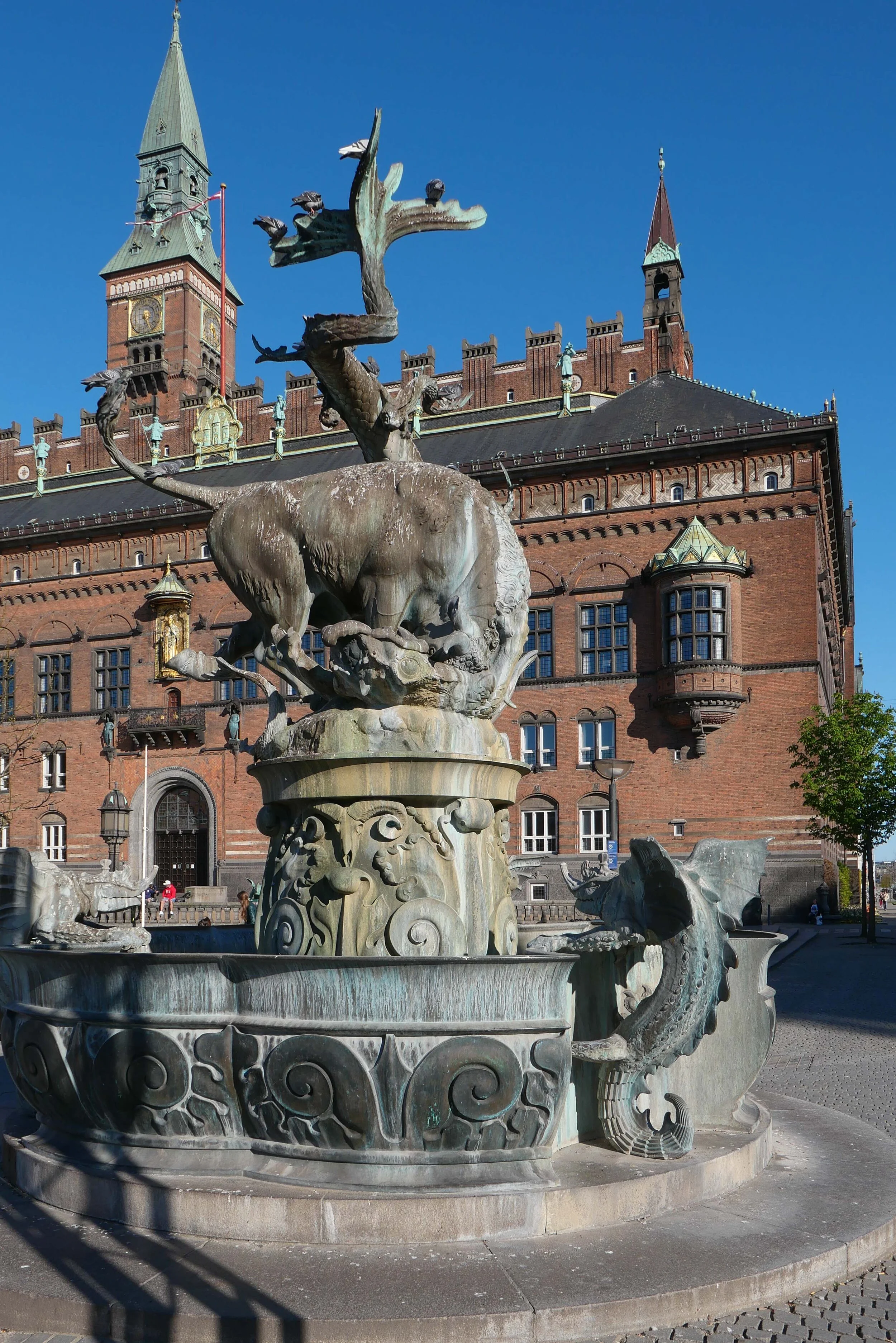
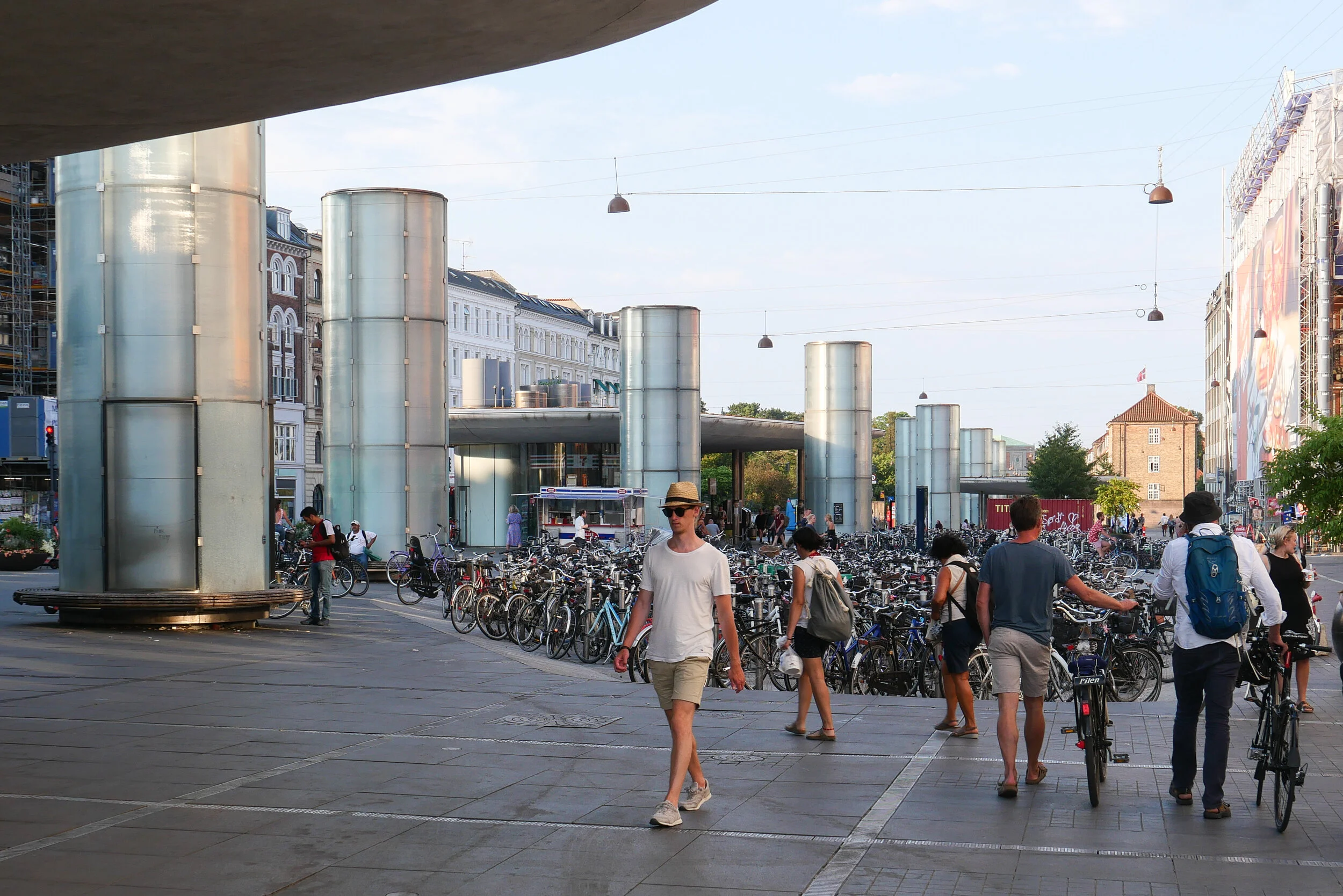
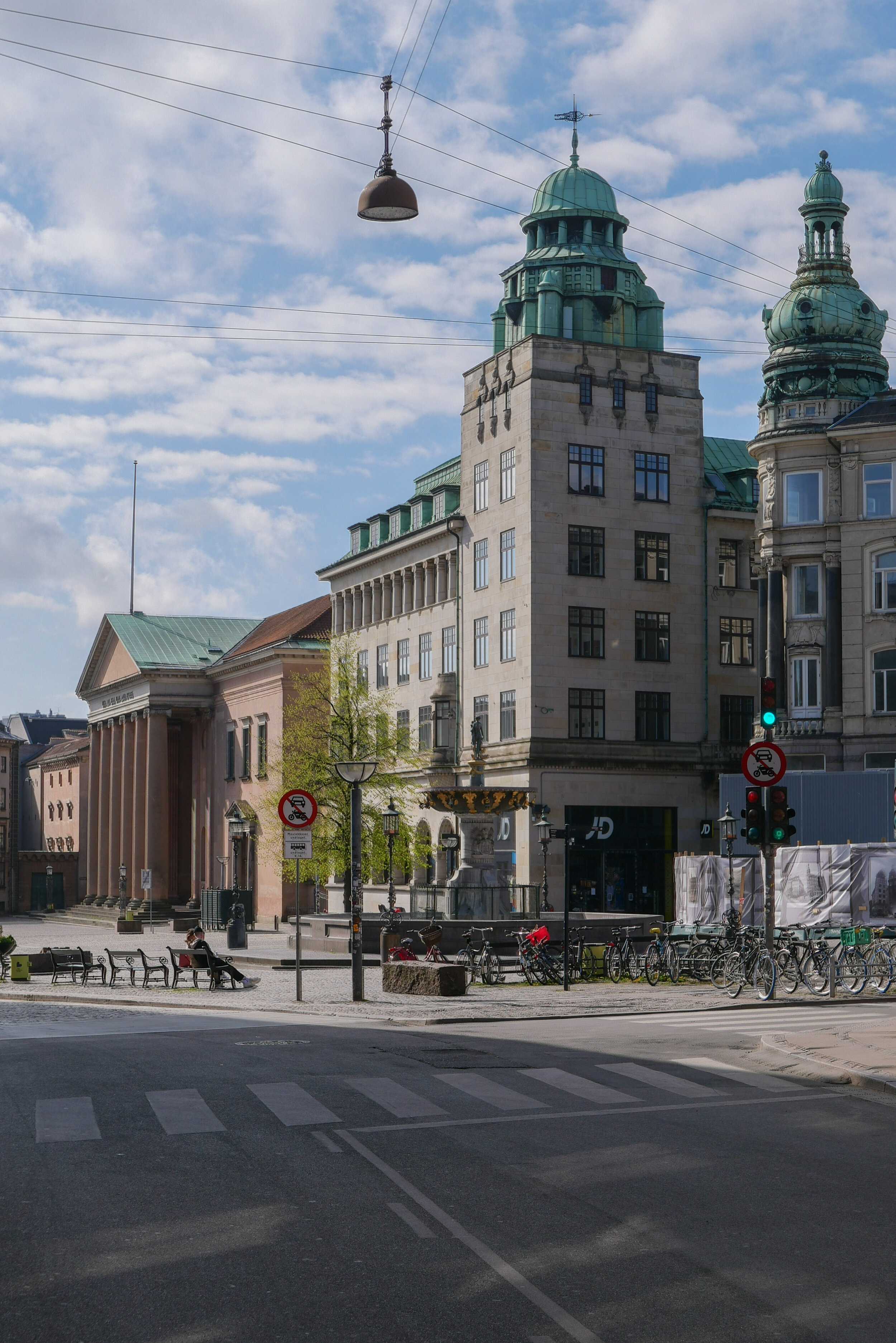
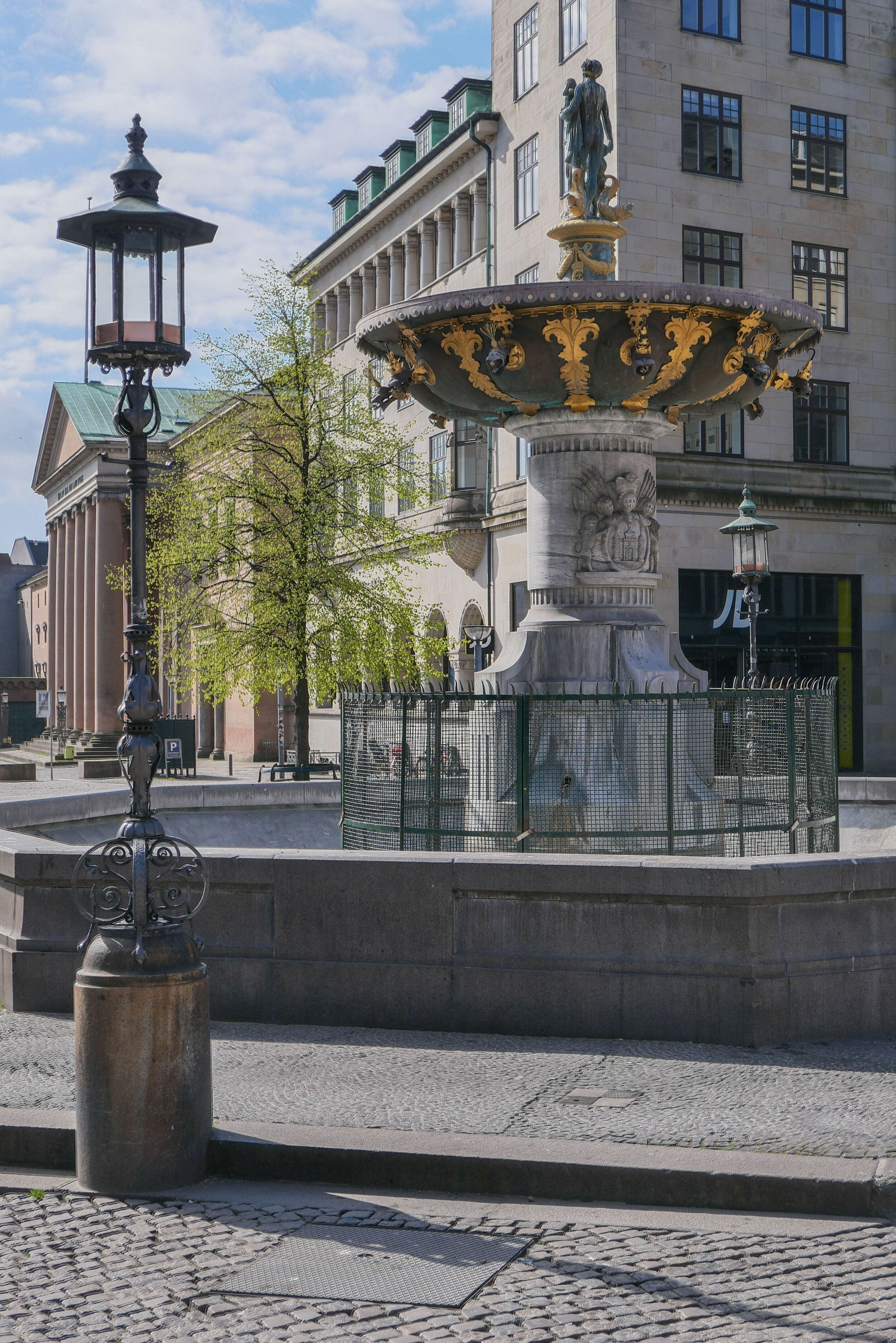
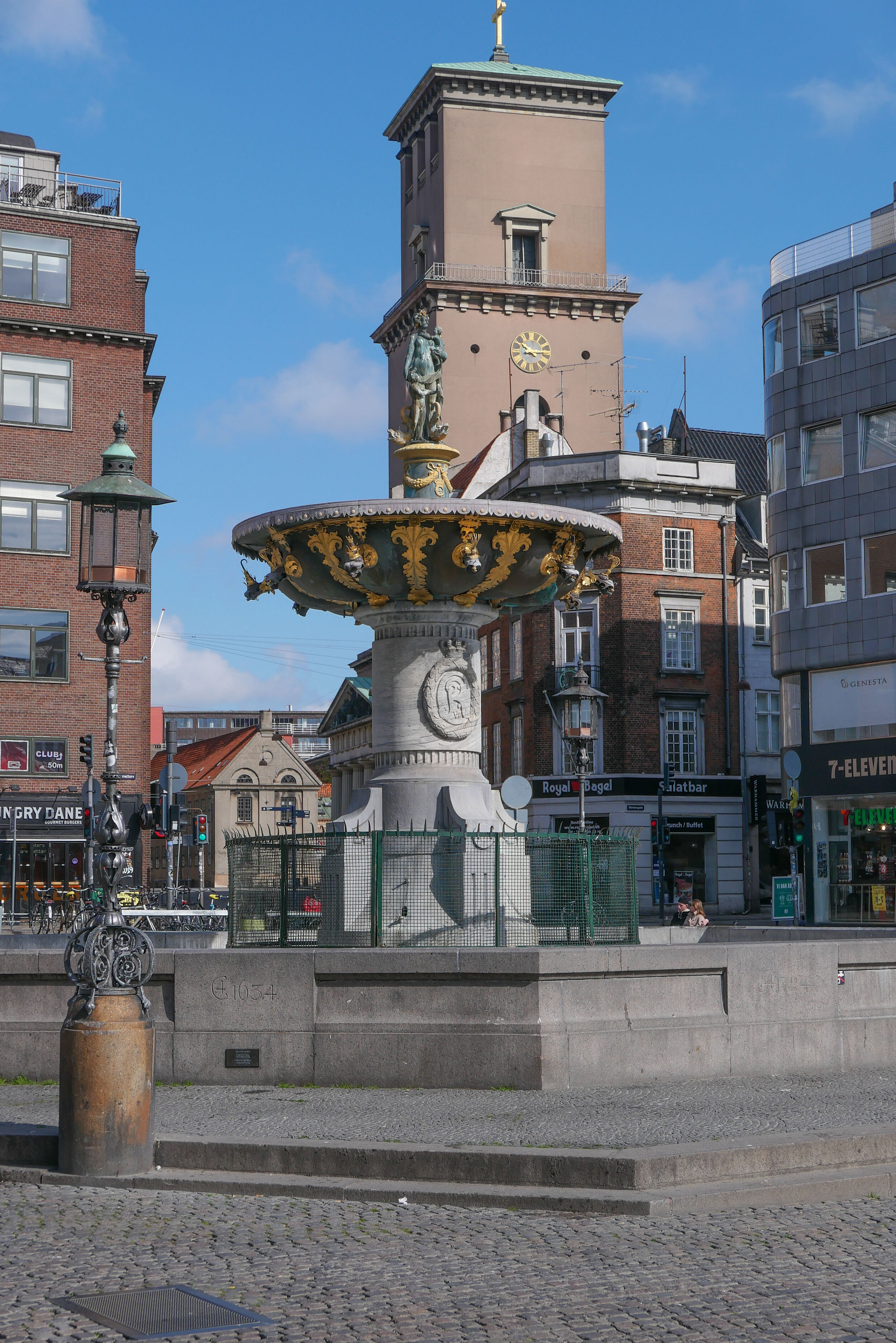
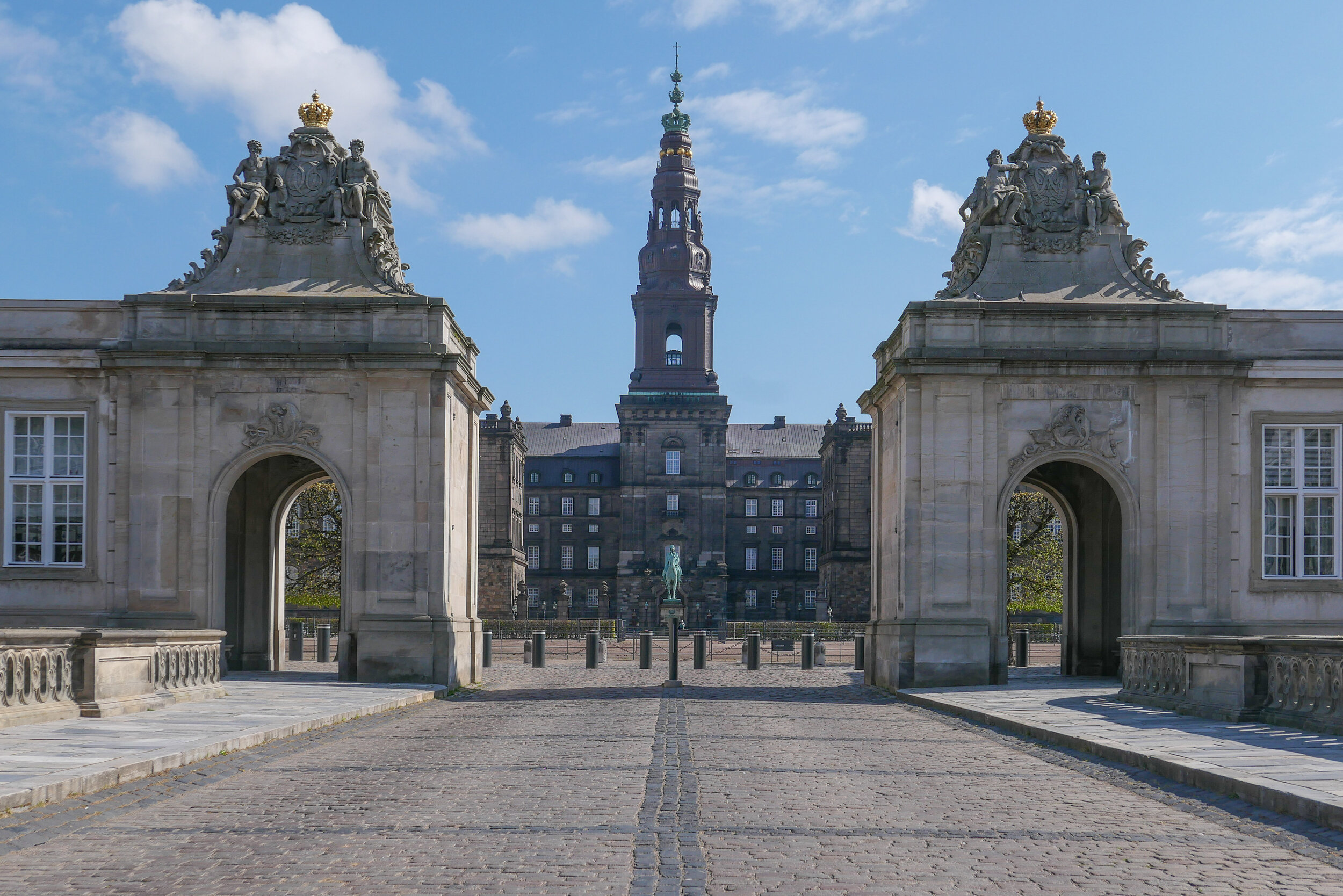
At the intersection is Rådhuspladsen, a vast public space with a transport hub for a rapidly growing tram system and with busy ranks for horse-drawn cabs and with a grand new city hall, to reflect the status and prestige of the city.

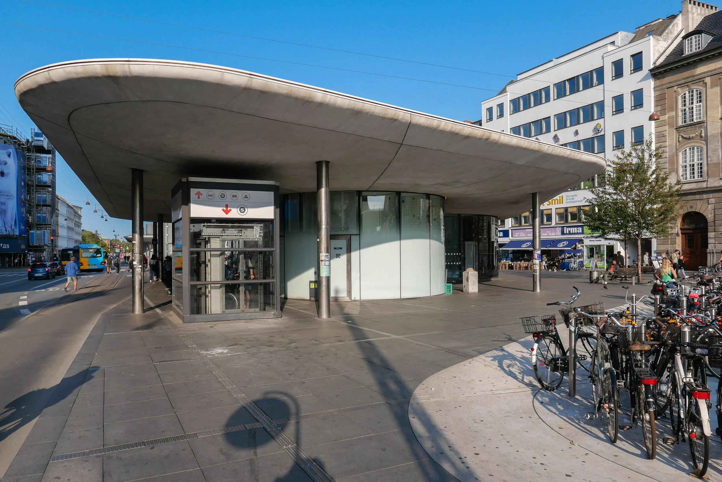
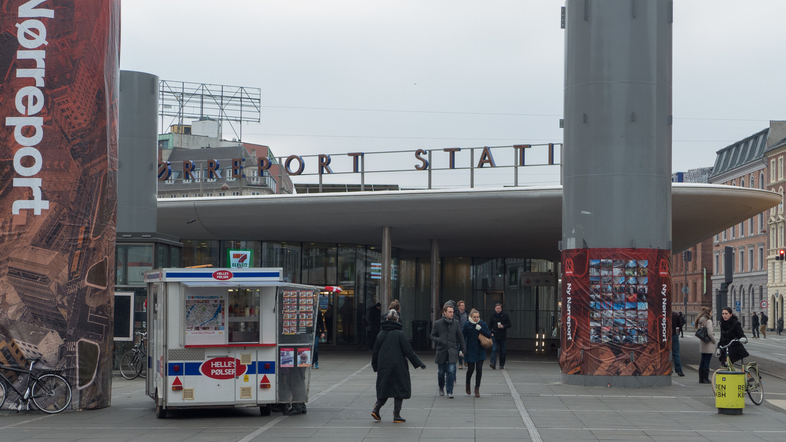
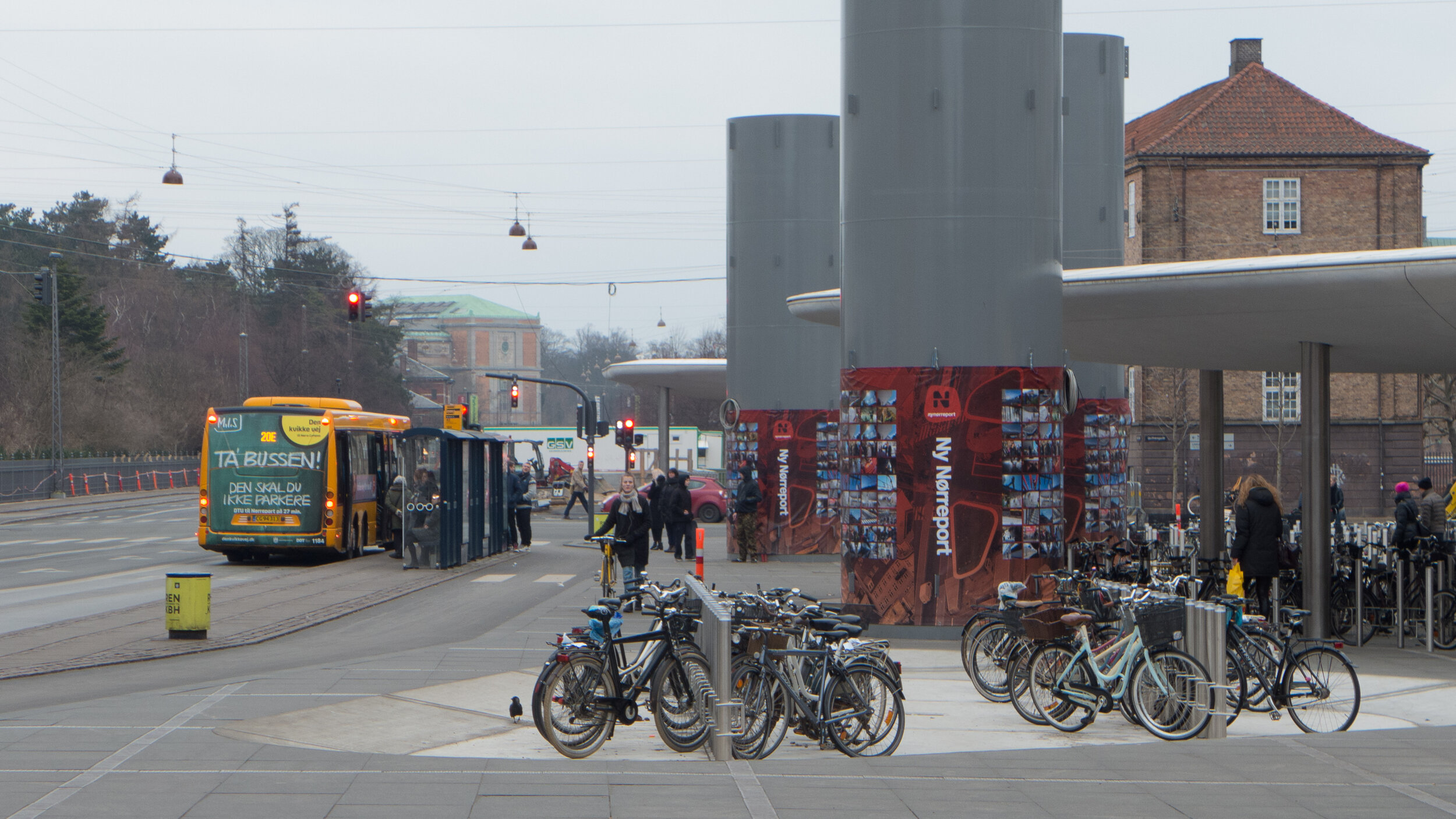
Along the new boulevards were built hotels and new office buildings and Industriforeningen, a vast building for international fairs and trade shows, on one side of the square, alongside a new museum to show off the best of manufactured design. There were new theatres and places of entertainment to draw people to the area and a new railway station on a better site and within walking distance for workers coming into the city from the new suburbs and for visitors arriving from more distant parts of the country or from abroad.

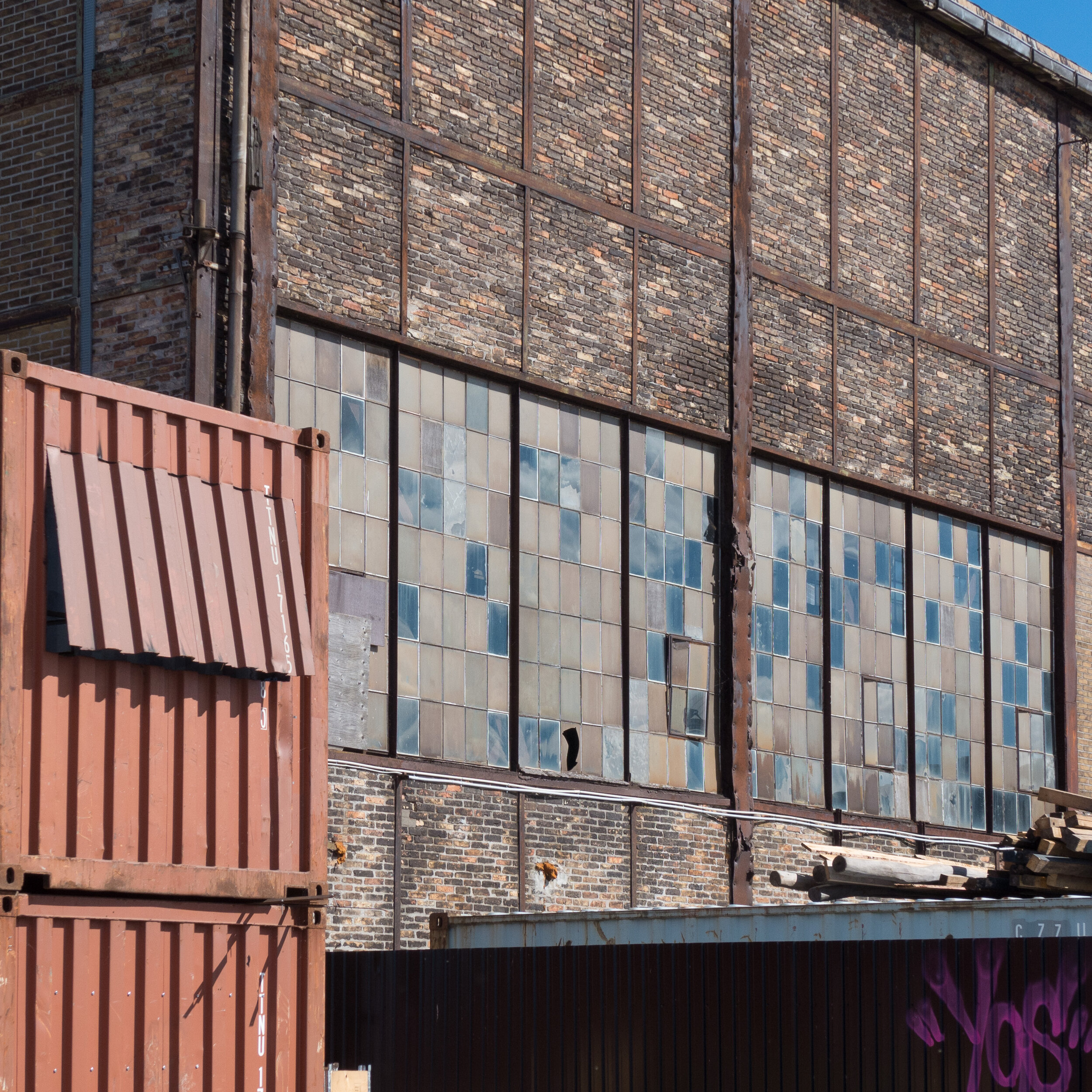
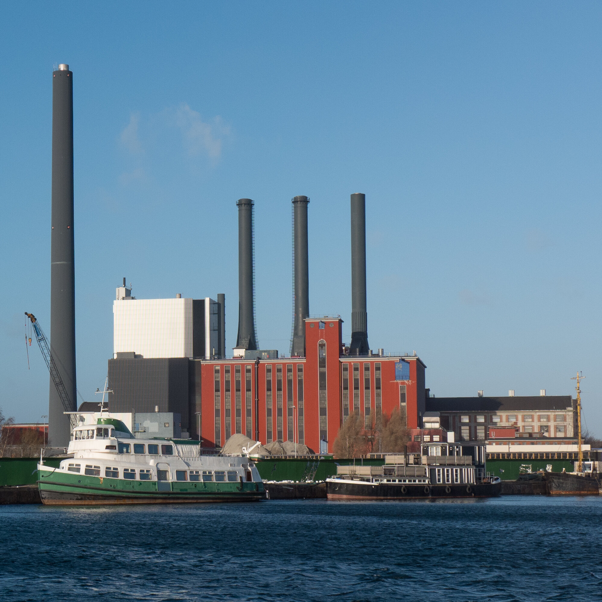
Curiously, the only thing missing was a new stock exchange and, of course, the new Free Port with its new warehouses that were completed in 1904, to stimulate and finance this growth, was some distance away - across and beyond the city - although it was an integral part of this redevelopment.

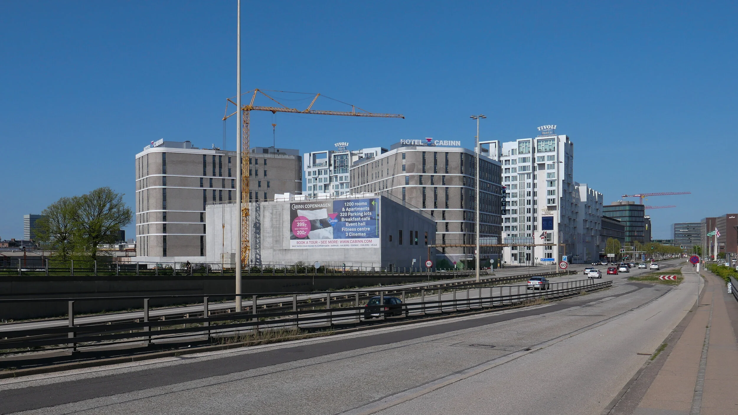
Building work slowed with the onset of the first world war but then, despite the economic depression following the war, continued with new commercial buildings on down Vesterbrogade that showed the very best of modern Danish architecture and engineering.

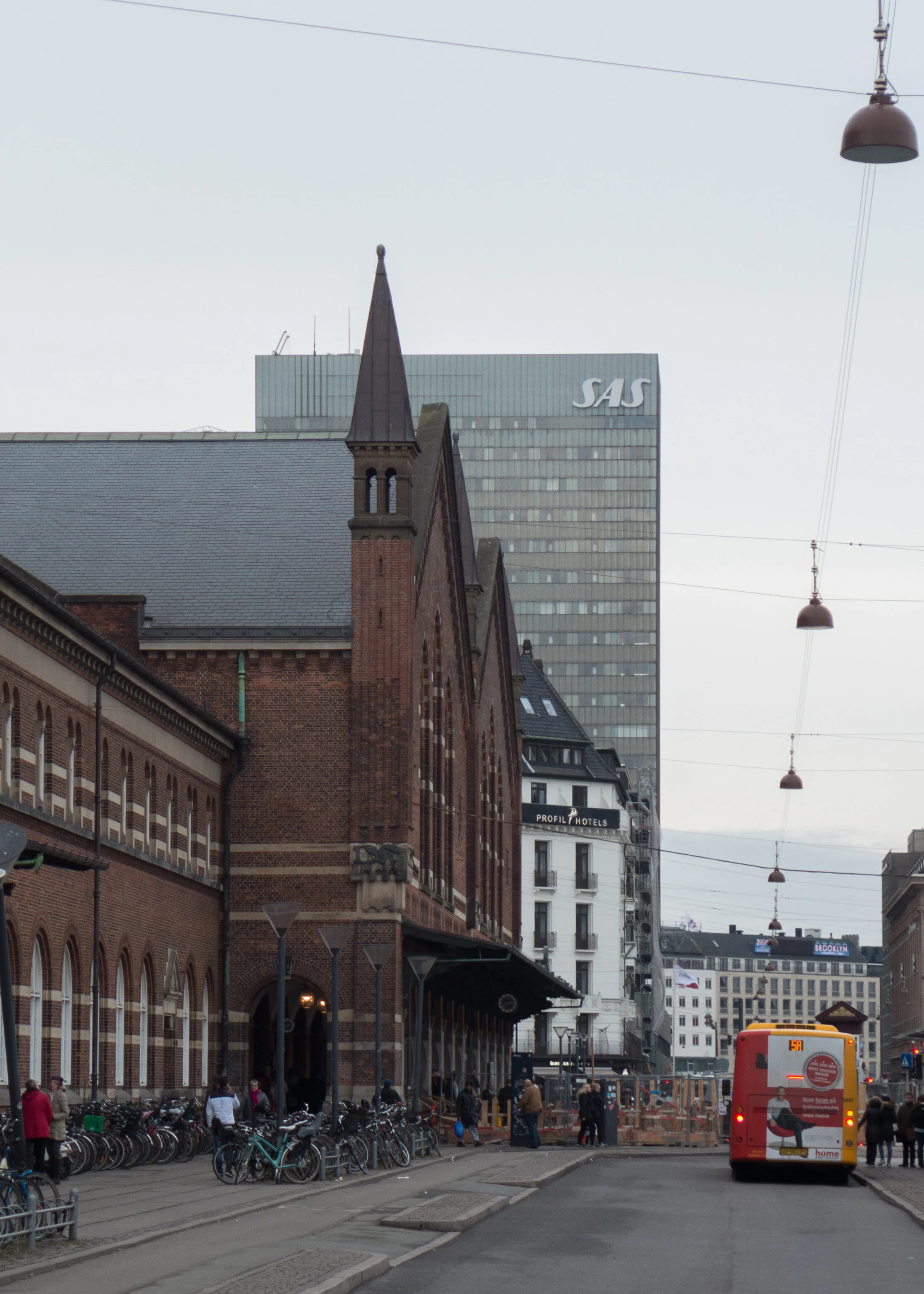
Axelborg, built as the headquarters for Den Danske Andelsbank and designed by Arthur Witmaack and Vilhelm Hvalsoe, was one of the last of the older style of building and was finished by 1920, but Vesterport a large office building by Paul Baumann and Ole Ralkentorp with a steel frame, concrete floors and copper cladding was completed in 1932 and The Hotel Astoria, framing the area in front of the central station on the west side, in a very different style, is an important example of the functionalist movement and was designed by Ole Falkentorp, and was finished in 1935.

This construction of large prestigious buildings that pushed boundaries continued after the second war. There was the dramatic office building that spans across Vester Farimagsgade by Ib Lunding, F Allan Christensen, Thorvald Dreyer and Ole Hagen completed in 1958 although it was just part of a scheme that was intended to extend across the full width of the area in front of the station. Only the west half was completed.

There was a first proposal for a tower block on the site that was to become the SAS Hotel, and then, of course, there was the construction of the SAS Royal Hotel by Arne Jacobsen that is now acknowledged to be one of the great buildings of the modern movement from what is generally described as the classic period of modern Danish design, but essentially it was also part of that early vision for promoting Danish products and Danish design - the main reason for it being a total design concept with furniture, interiors and fittings all by Jacobsen.

When it opened, it was the airport terminal for people arriving and departing from the country in style …. not for tourists then but for businessmen, investors and politicians coming to Copenhagen from all over the world who were brought straight to the centre of this commercial and political and business district.

Paul Fischer - Copenhagen in the best possible light

Copenhagen City Archive

An amazing photograph from the city archive … an elevated view along Vesterbrogade to Rådhuspladsen - but here, at the time of the photograph, before the Bristol and the Palace hotels and the city hall itself had been built. To the left is the earlier main railway station and the open ground was the meat market - Trommeshalen or Drum Hall.
The Monument to Liberty was set up here in 1788 but when the new central railway station was built - set back on a site in the trees on the right - the tracks of what was called the Boulevard Line were taken under the road and the monument was dismantled and then reinstated but to a position said to be 5 metres further east.


From the centre of Rådhuspladsen looking west along Vesterbrogade.
The building to the right, approximately over what is now the new metro station, was a pavilion from the Nordisk Exhibition of 1888 and Industriforeningen, the main exhibition halls from 1872 and designed by Vilhelm Klein, is the roof just visible above the trees on the left - now Dansk Industri.

Painting by Paul Fischer of Vesterbrogade. On the right, the building with two storeys and a dome at the corner, is the National Scala building that was demolished in 2013 and is now the site of the Axeltorv building and beyond is the Axelborg bank building completed in 1920 but here, apparently, still under construction.

Painting by Paul Fischer of the National Scala looking across Vesterbrogade from the entrance to Tivoli


….. and Vesterbrogade now

Vesterbrogade now. No longer the elegant boulevard of the 1900s and not, despite Dansk Industri still being here, the heart of Danish trade and business but the route for commuters and tourists to traipse from the station to Strøget …. the Walking Street.

Now, to do that walk from the railway station to the city hall square is the visual equivalent of walking through a babble of loud and competing sounds and each new building and each new architect does their own thing because being different is now more important than contributing to the whole.

And Vesterbrogade really has to be seen as a single public space for the 500 metres or more from HC Andersens Boulevard to Trommeshalen and Helgolandsgade.

The part of the street on to the west from the monument is less damaged visually but the buildings there have to be protected and there should be a wider central space and less traffic changing lanes.

Frederiksberg Allé, that starts a little further west along Vesterbrogade, has recently been given special planning status and through that considerable protection so surely Vesterbrogade and HC Andersens Boulevard deserve as much if not more?

It's not that Vesterbrogade needs sanitising and it certainly does not need to be gentrified or made safe and dull but it needs wider pavements, simpler and better street furniture and developments that reinstate a coherent line of facades.

Oh yes …. and the DI building needs to remove its top three or maybe four floors.

Tivoli Hjornet / The Corner

view looking towards Rådhuspladsen from Frihedsstøtten - from the Liberty Monument
below is a similar viewpoint from 1971.

looking west from the monument