PLANETARY BOUNDARIES - rethinking Architecture and Design


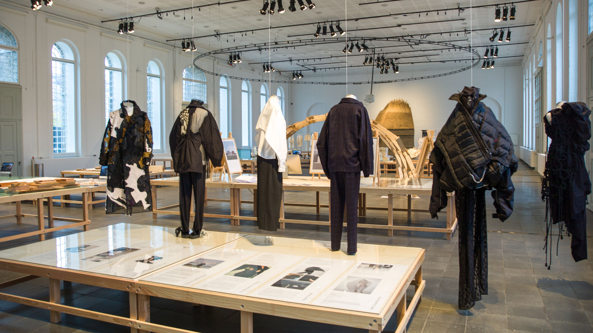
This week is your last opportunity to see this important exhibition because Planetary Boundaries at the Royal Danish Academy on Holmen will close on Friday 5 April 2024.

The concept of Planetary Boundaries is a method for assessing the environmental state of our planet within nine areas that regulate the Earth's stability and balance. Humans have been successful because, over thousands of years, we have adapted to survive in a remarkable range of habitats from frozen tundra to parched landscapes with barely any vegetation and we have done that through the ways we have learned to exploit a huge range of natural resources. However, there are limits to those resources and limits to how much we can pollute the land, and the water and the atmosphere of Earth with waste before that has a serious impact. Mining, the generation of power and the consequent production of waste from industrial processes are all pushing those boundaries close to and, in many environments, way beyond those limits.

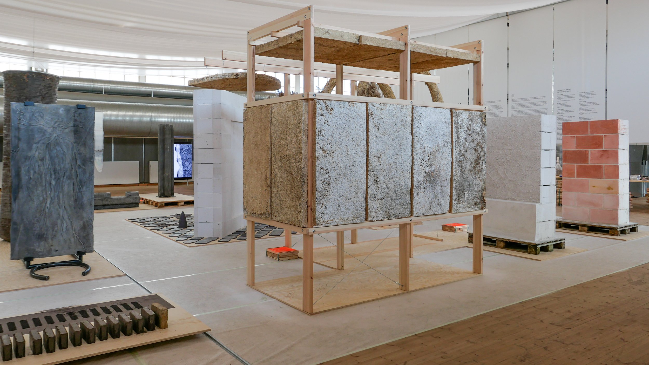
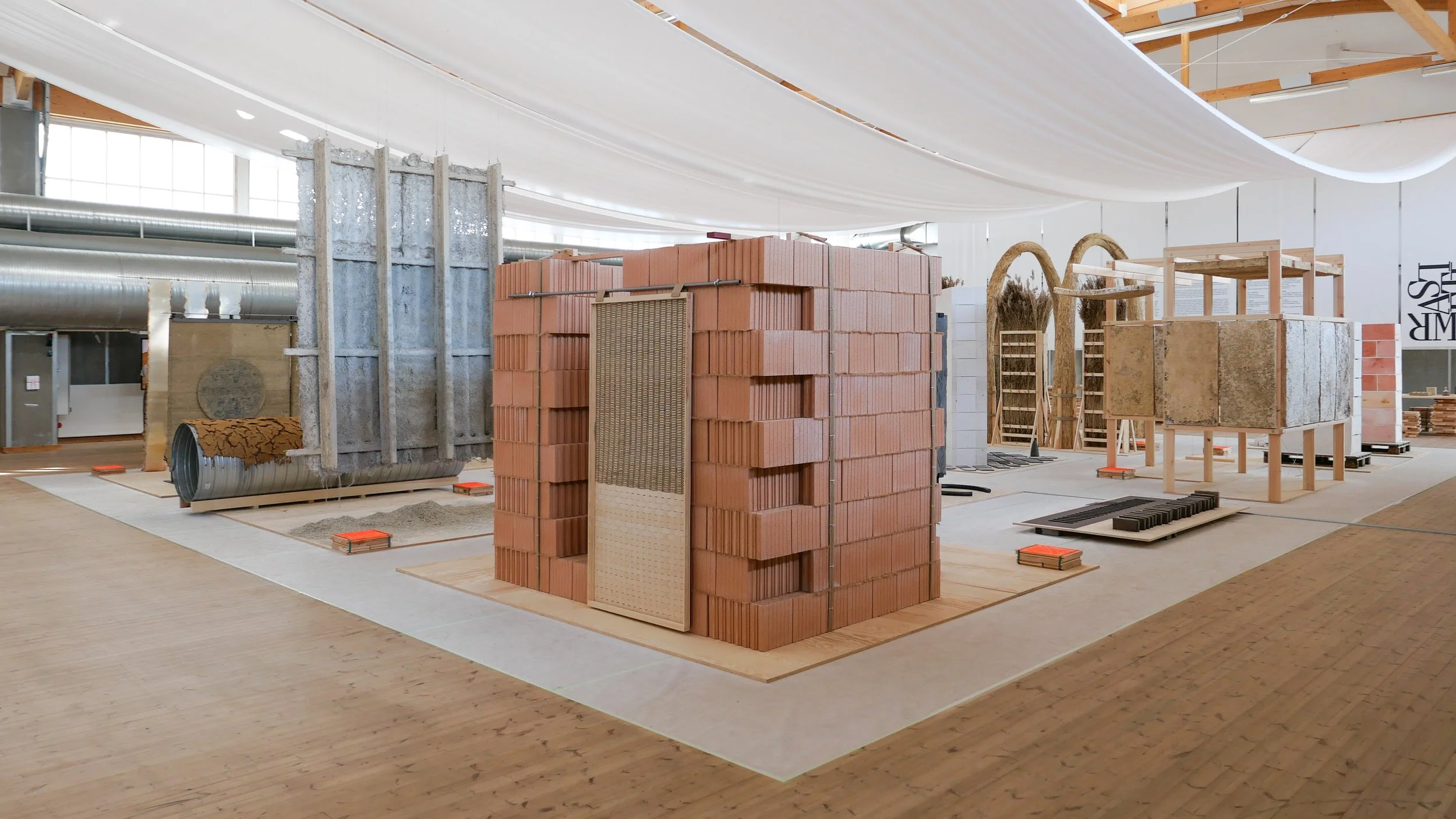
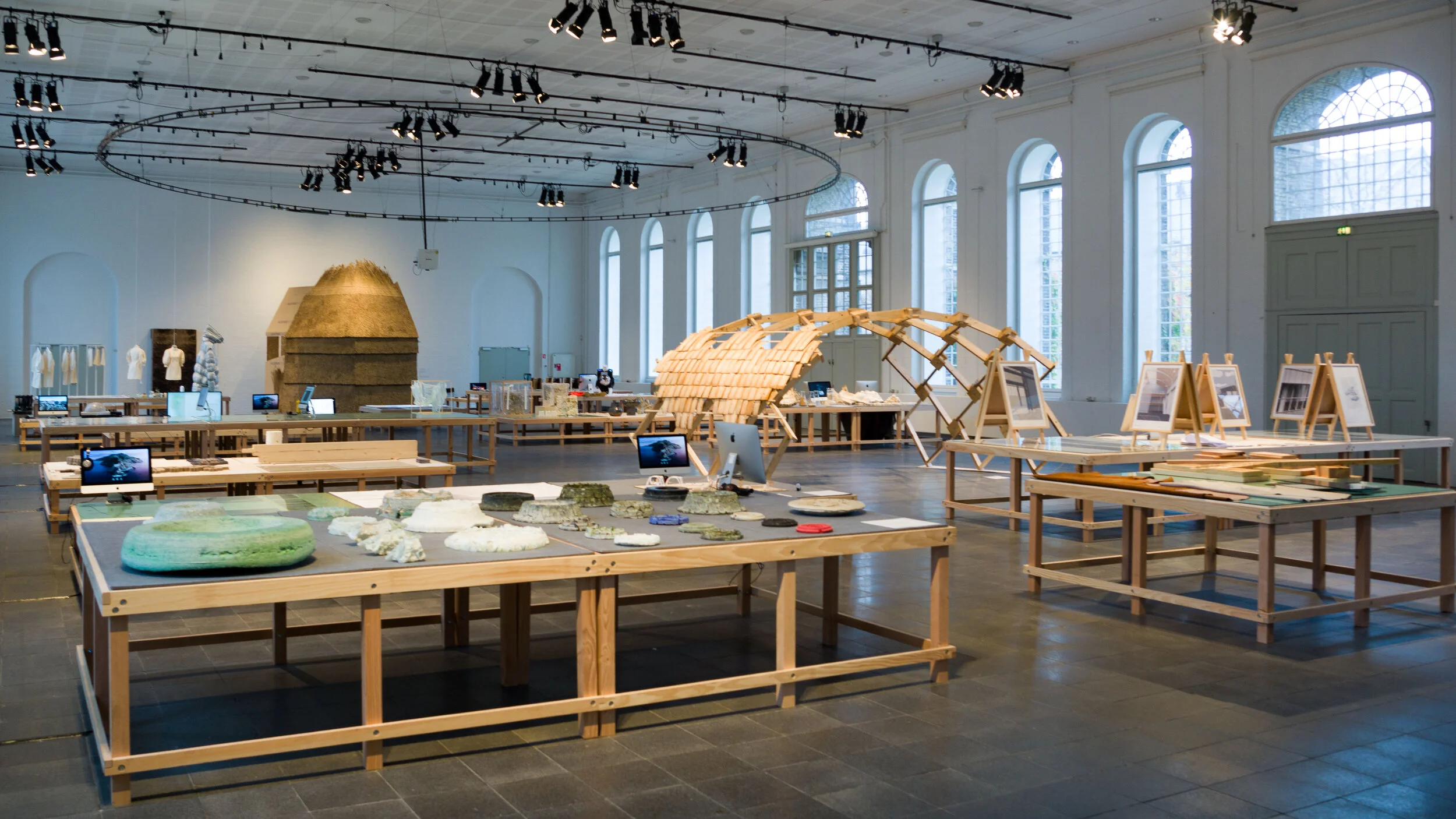
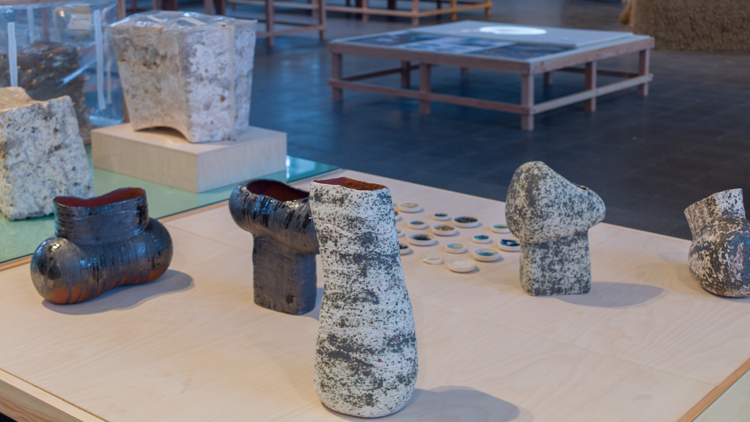
Shown here, is work from 25 research protects, that have looked at new materials or at new approaches to design and manufacturing and at changes in our building methods and planning policies that could control our demands for energy and reduce global emissions of CO2 and pollutants from mining extraction and from large-scale agricultural and industrial processes ... processes that have had such a detrimental impact on our rivers and seas and our atmosphere.

Manufacturing is responsible for over 50% of global energy usage and is responsible for 20% of global CO2 emissions.

A UN report from 2022 showed that construction work is now responsible for 34% of global energy demands and 37% of global greenhouse gas emissions.

So now, as the impact of climate change is becoming a reality, if there are not major changes to what we build and how we build, current predictions for the release of CO2 indicate that emissions from the production of building materials alone are set to double by 2060.

We have to to be rational and look at the materials we use and change how we use materials in building construction and in manufacturing.

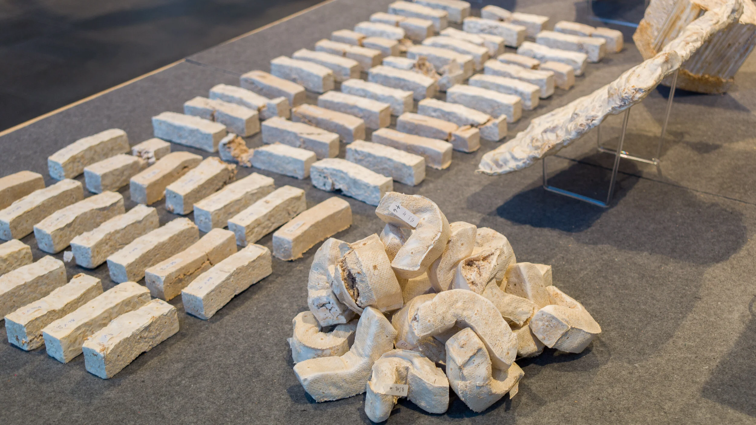
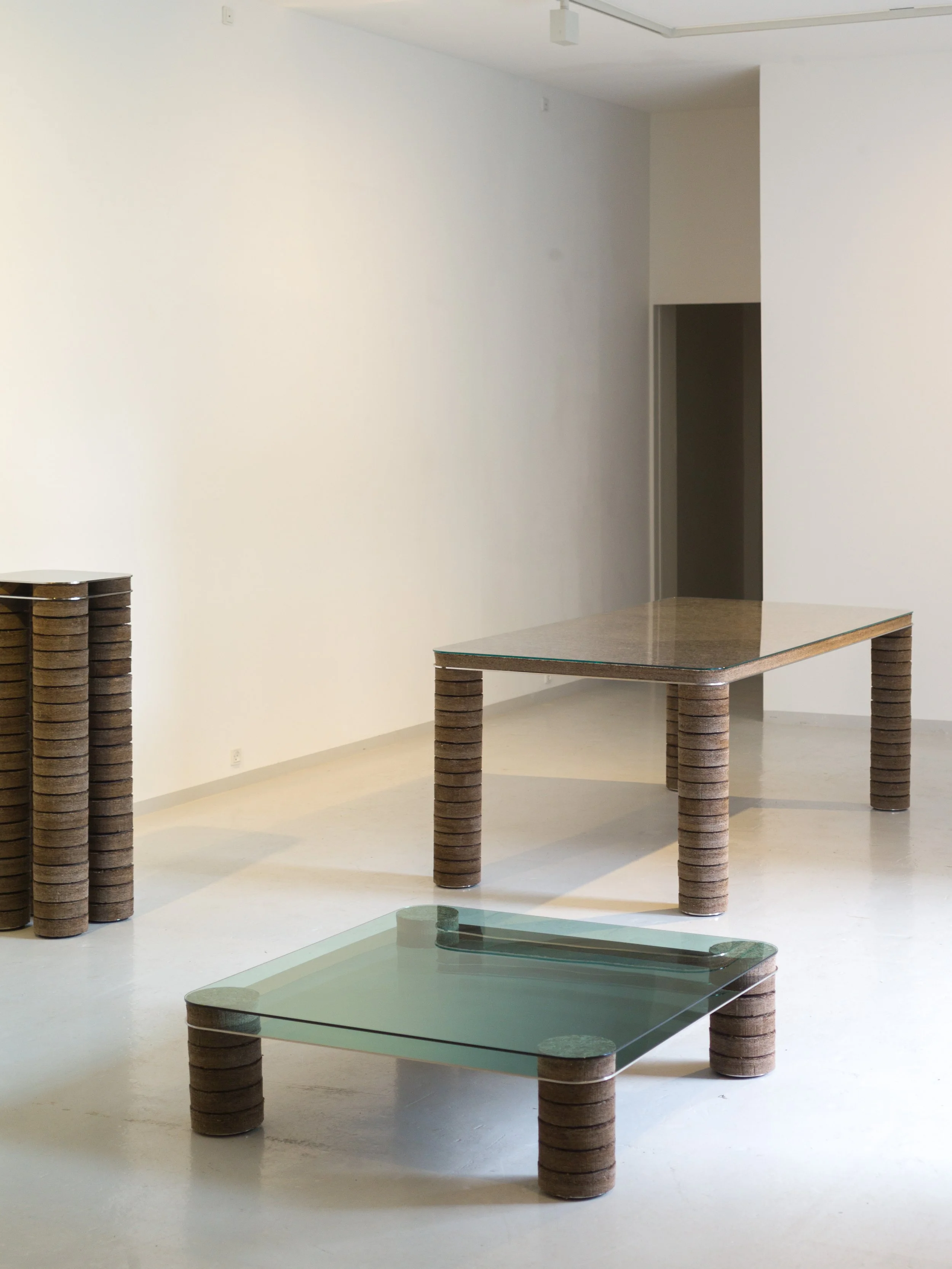
Some of the new materials shown in the exhibition - such as fungi - or suggestions about how to use raw materials more efficiently or ideas about how to reuse salvaged materials have been proposed before but here there is a clear move on from theory to practical applications that have been or are being tested at scale.

For policy makers - now focused on making changes before we reach irreversible tipping points in global warming - these ideas may well be obvious and, for them, it is about when and how these changes are implemented but they will only be successful if a large number of people - the customers who are buying and using the products and the citizens who are living in and working in what could be very different forms of building - understand the reasons and are on board with those changes.

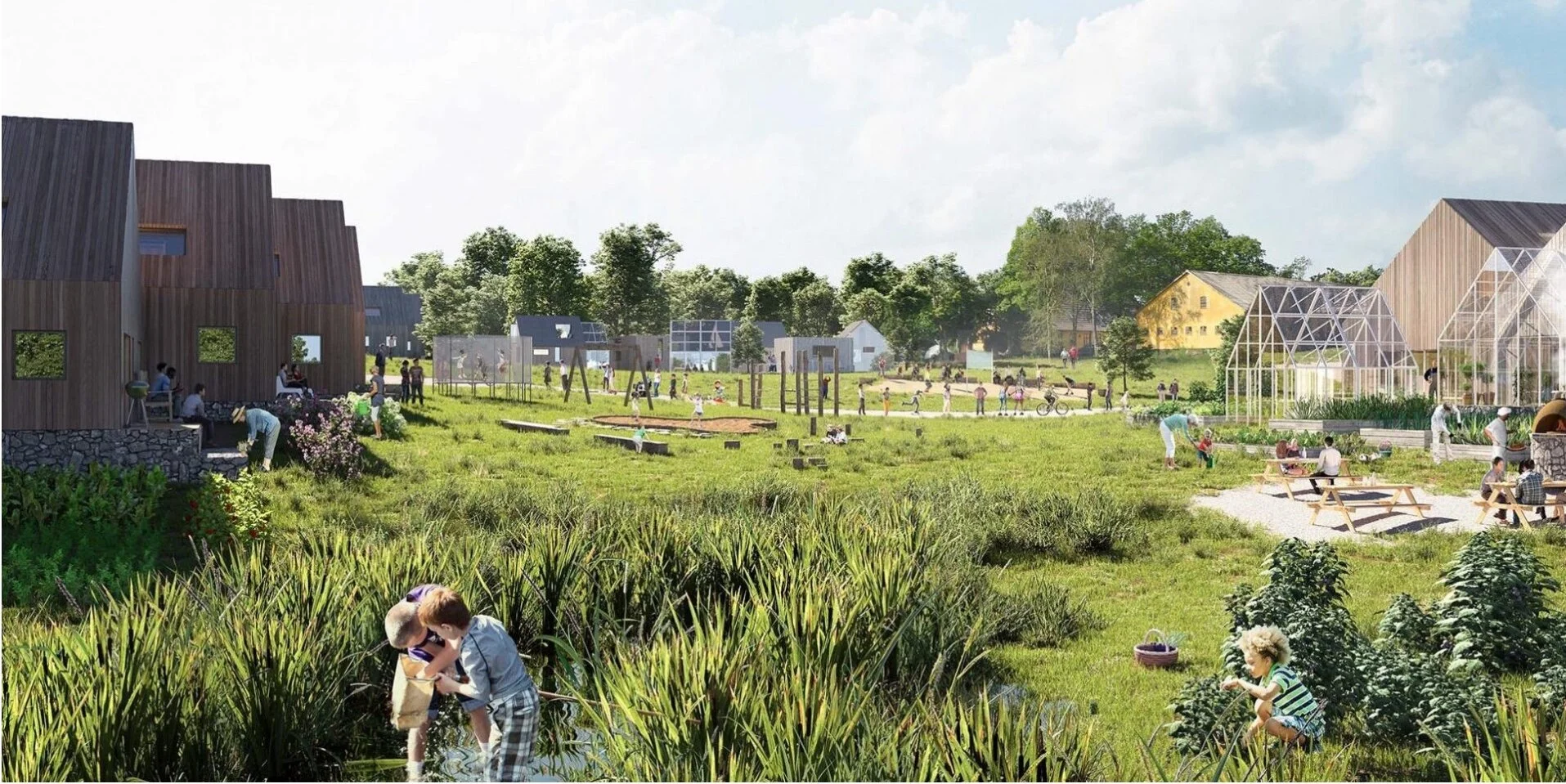
One project in the exhibition has looked at experiments in communal living with reduced personal space but increased shared space for shared facilities in housing and another project looks at increasing the density of housing in the suburbs of Copenhagen by building new houses on back plots and between existing buildings but such major change can only proceed with wide-spread consent.

The exhibition presents what are still options so the next stage should be broader and informed debate about how we use materials; about what we manufacture and how and about how we build and what we build in our cities in the future.

PLANETARY BOUNDARIES
Det Kongelige Danske Kunstakademis Skoler
for Arkitektur, Design og Konservering

Danneskiold-Samsøe Allé, 1435 København K
21 Sep 2023 - 5 Apr 2024 

Six of the projects will be shown at Form, the design center in Malmö. 

PLANETARY BOUNDARIES
Form Design Center
Lilla torg 9, Malmö, Sweden
13 April - 2 June 2024

RESET MATERIALS towards sustainable architecture

Construction work around the World accounts for nearly 40% of global emissions of CO2 so we have to question not only how we build but also reassess the materials we use for building in order to reduce that impact.

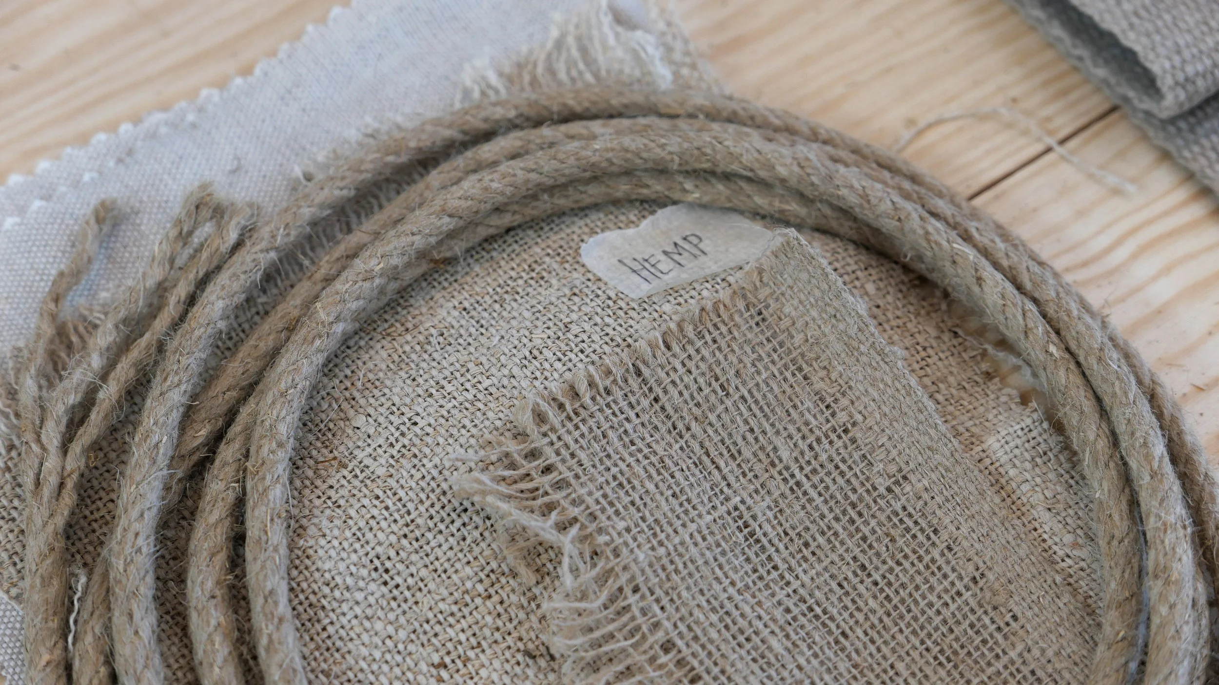
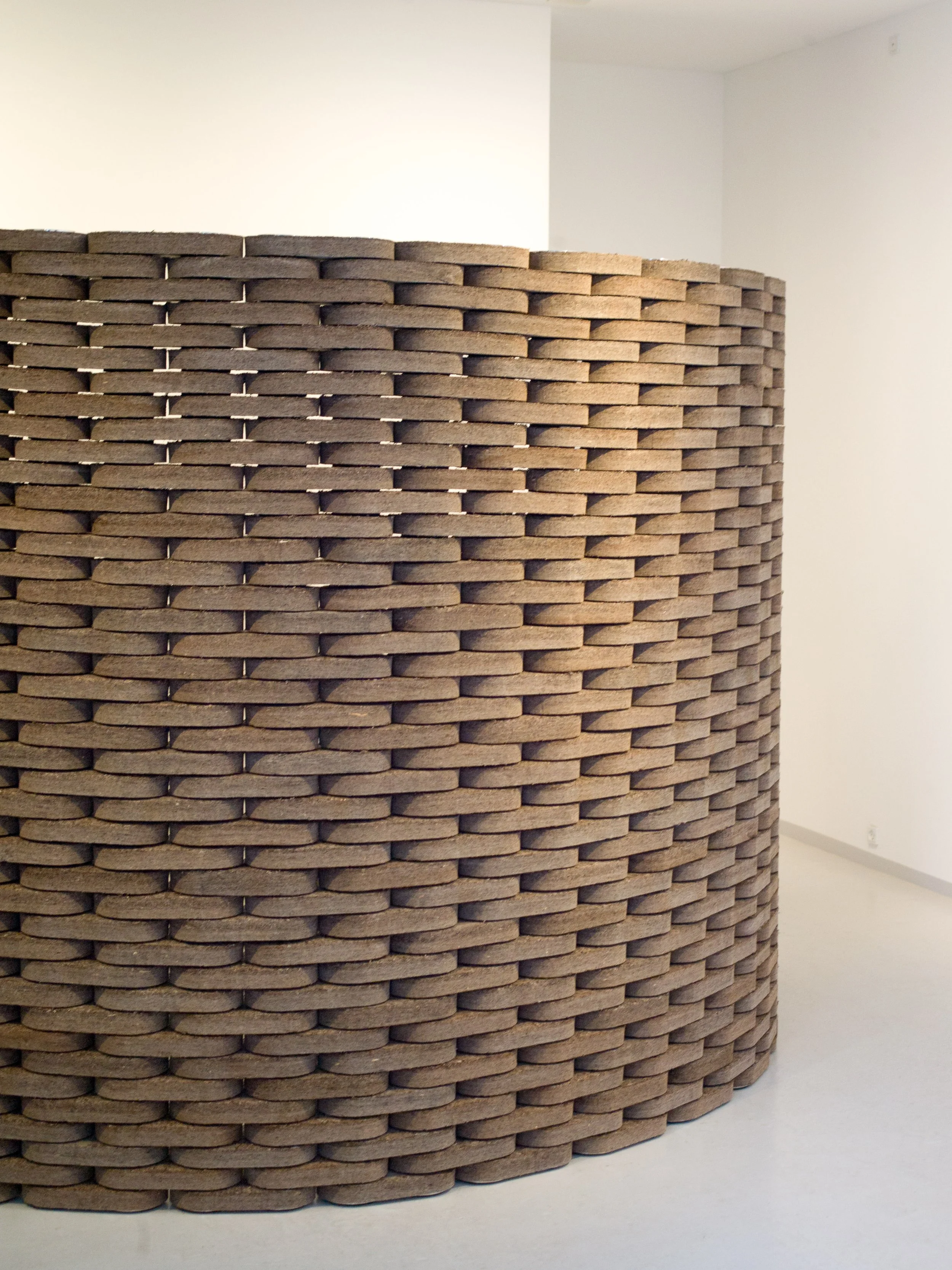
This exhibition shows the results of research by ten interdisciplinary teams of architects, artists and manufacturers who have looked at innovative materials for building - like mycelium - or looked at how we could use existing materials in new ways or, even, at how to bring back into use materials, like hemp or straw, that were used widely, at least in vernacular and agricultural buildings, until a century or so ago. We must even consider using ancient construction techniques so, for instance, earth and mud, dried in the sun, to build up walls, as an alternative to using energy-intensive materials like fired bricks or concrete.


Sikke et spild / What a waste

When we talk about waste and recycling, we tend to think about items that have come to the end of their first use and that are then collected, sorted and either found a new owner where they are reused or they are broken down or processed to produce reusable materials … so glass from a bottle bank or newspapers and magazines used to make new paper.

But this exhibition is about the material left over from the manufacturing process after the factory has cut out or cut off what it needs.

In this age of carefully-calculated profit margins, something like, for instance, metal tubing from the steel mills will come in a standard length and anything shorter will actually cost more for less as that processing adds to the time and cost of production. Manufacturers will then cut what they need from a standard length and the off cut - still basically new material - can be sold on as “new waste” to a company that can make use of those smaller pieces.

This exhibition has been developed with THE UPCYCL - an association with bases in Aarhus and Copenhagen - that puts together manufacturers with new waste and companies that can use that waste.

Det Kongelige Akademi / the Royal Academy, now has a Materialebutikken or Materials Shop where students can select New Waste material supplied by members of THE UPCYCL for design projects.

The exhibition includes stools from Anno Studio that are made from off-cuts of steel tubing that are left over from the manufacture of industrial trolleys by Ravendo A/S; the Rhomeparket flooring system from WhyNature made from the waste from the primary production from Wiking Gulve and a shelving system from Studio Mathias Falkenstrøm based on leftover materials from JEVI, Ravendo & VTI.

It is easy to miss the exhibition as it is in the City Gallery at the Architecture Center …. the exhibition space that is under the main staircase that takes visitors up from the bookshop to the main exhibition galleries.

Sikke st spild / What a waste
7 June 2023 - 29 October 2023

Dansk Arkitektur Center / Danish Architecture Center
Bryghuspladsen 10
1473 København K

THE UPCYCL
New Waste materialebørs / New Waste material exchange


materials from Materialsbutikken at Det Kongelige Akademi

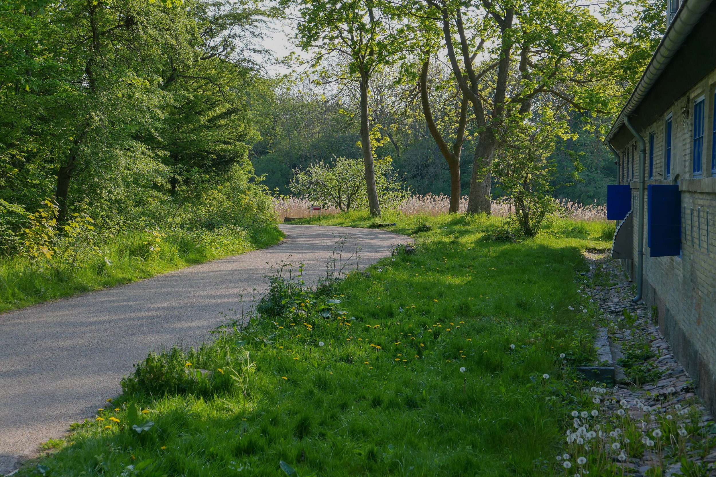
a walk along the lane of the outer defences


On Sunday afternoon I walked up to Refshaløen to see a new exhibition - Yet it Moves! - at Copenhagen Contemporary.

Door to door it’s about 2 miles or just over 3 kilometres.

From my apartment I crossed over the open space of Kløvermarken and at the old outer defences, instead of crossing over Dyssebroen - the bridge to Christiania and the route I would take to get into the city - I headed north along Middyssen and Norddyssen and the line of four redans. This was the outer line of defences that were reinforced in the 19th century to protect an area of water outside the bastions of Christianshavns Vold that protected the part of the harbour where the large war ships of the Danish navy anchored when they were in Copenhagen.

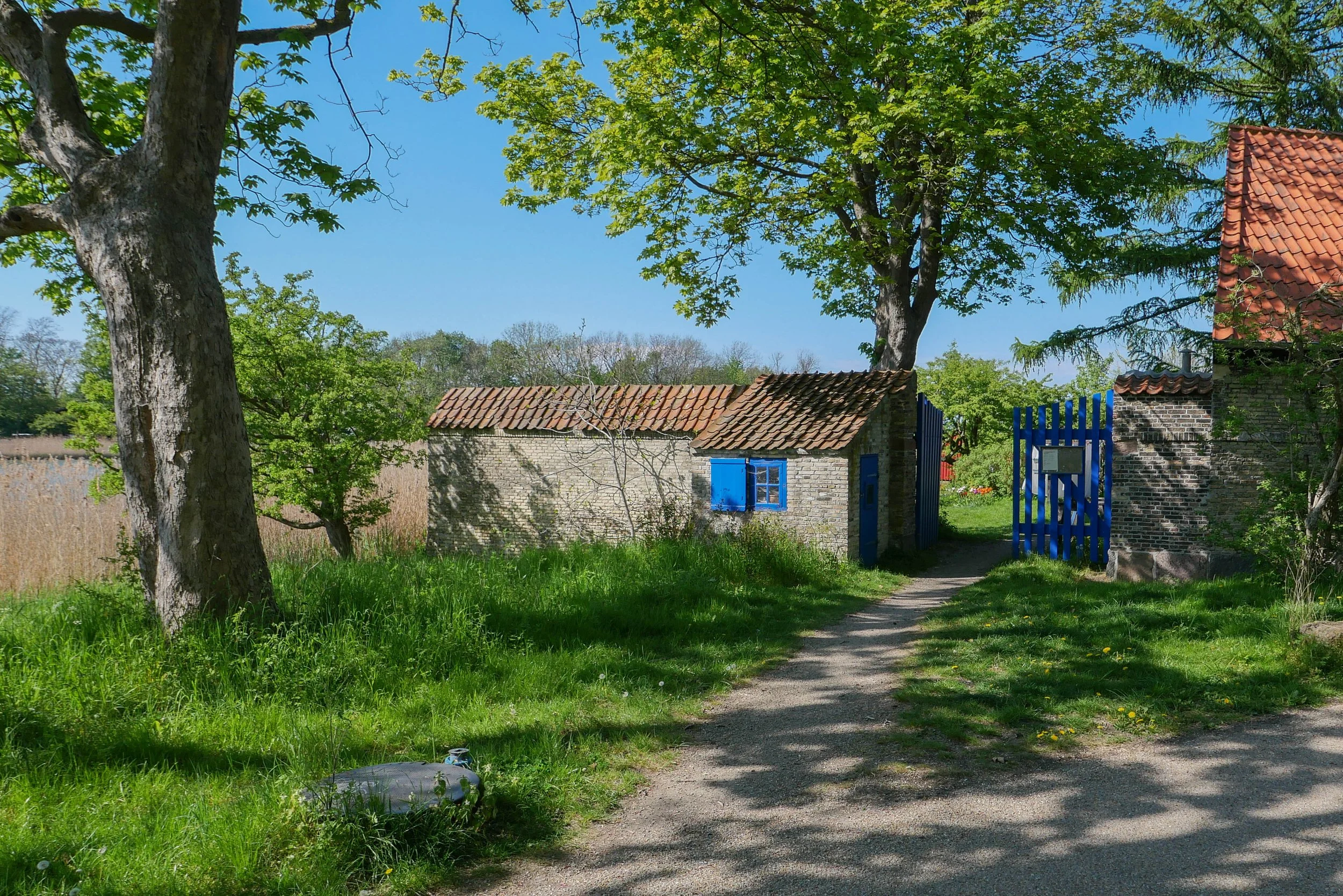
This outer defence is a narrow strip of land with a lane on the city side between the redans. These redans are triangular and have buildings surviving from the military fortifications. They project out so that from each there is not just a view out towards Amager, to see if attacking troops are on the move, but also give the defending soldiers a view each way along the outer face of the bank to give covering fire.

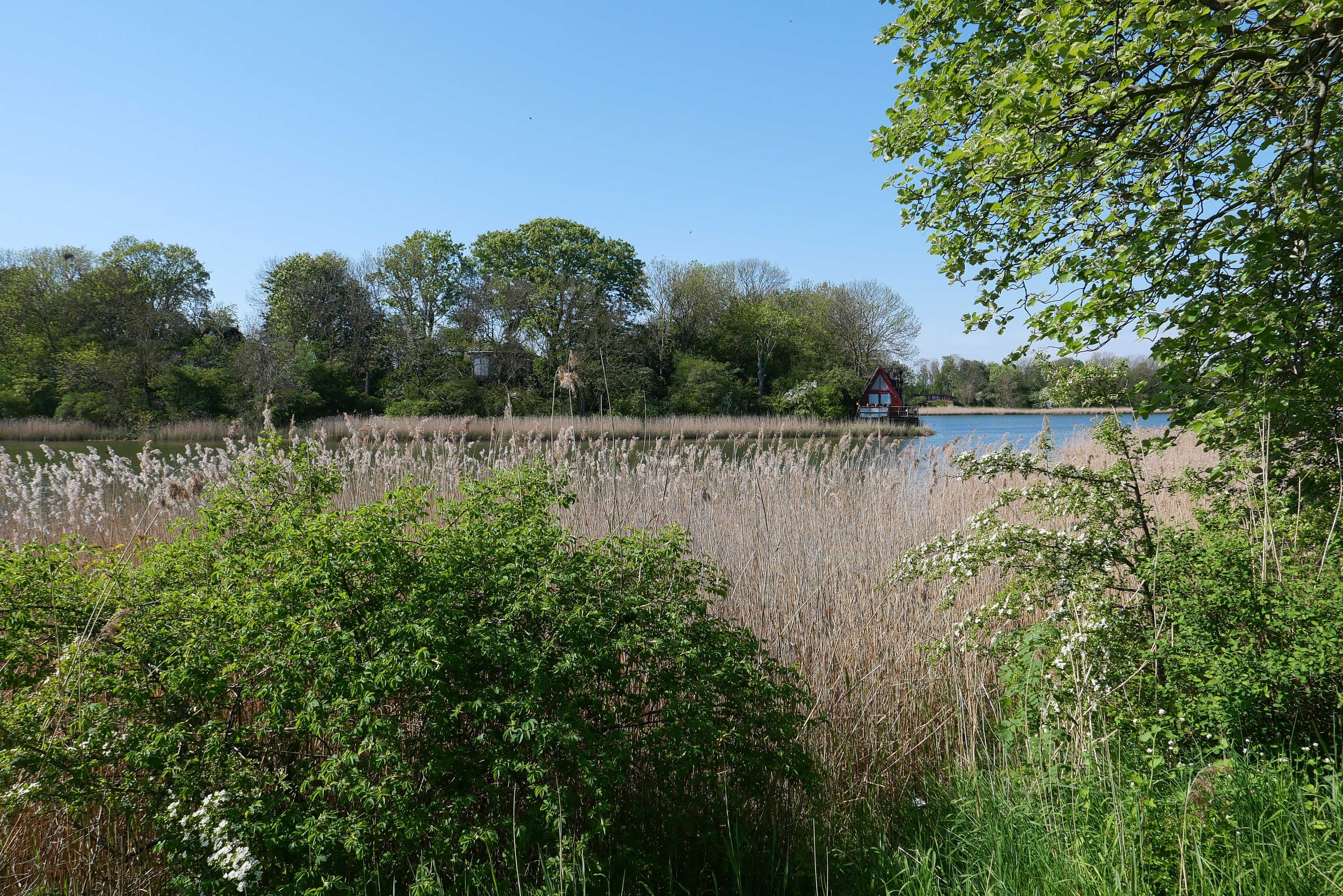
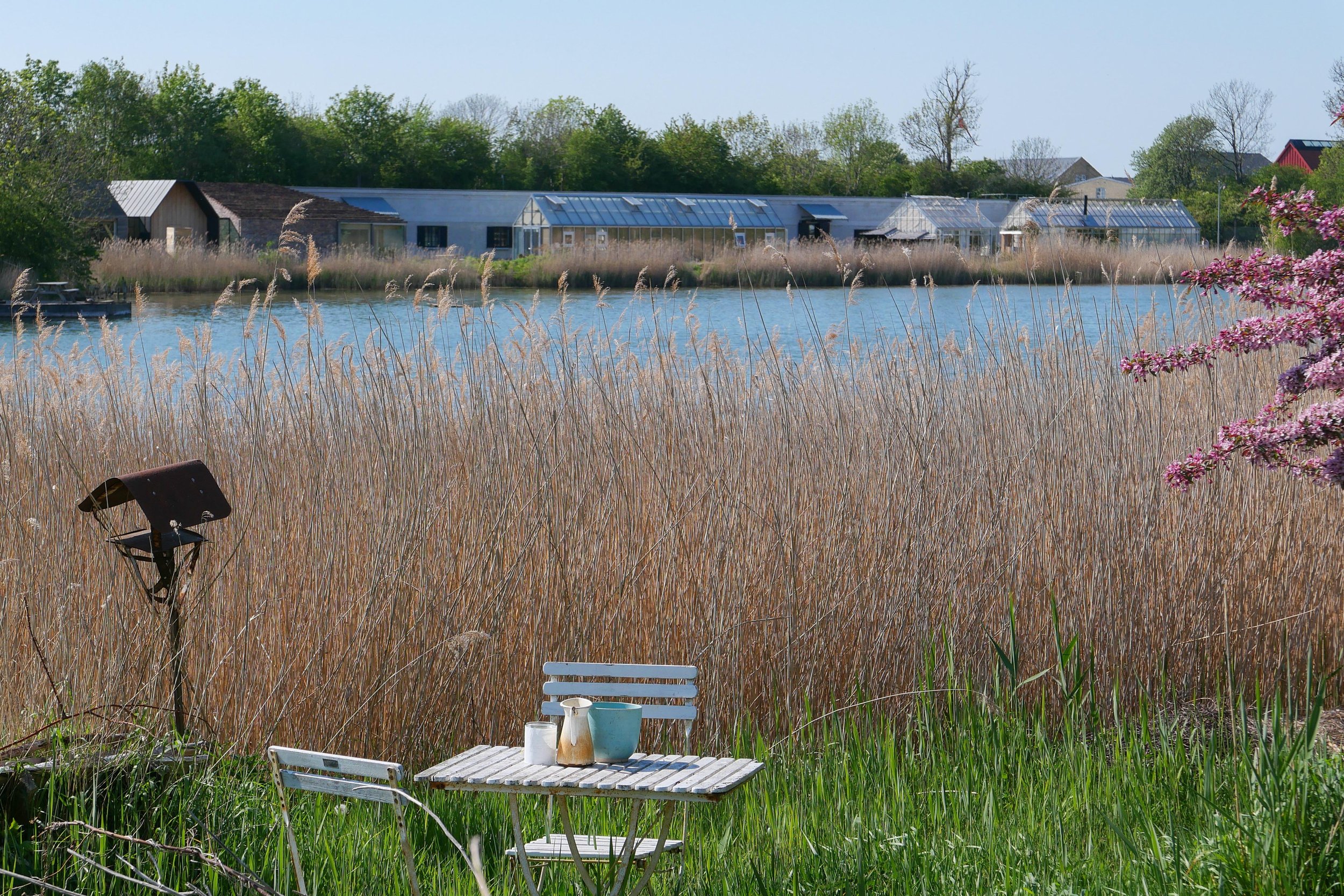
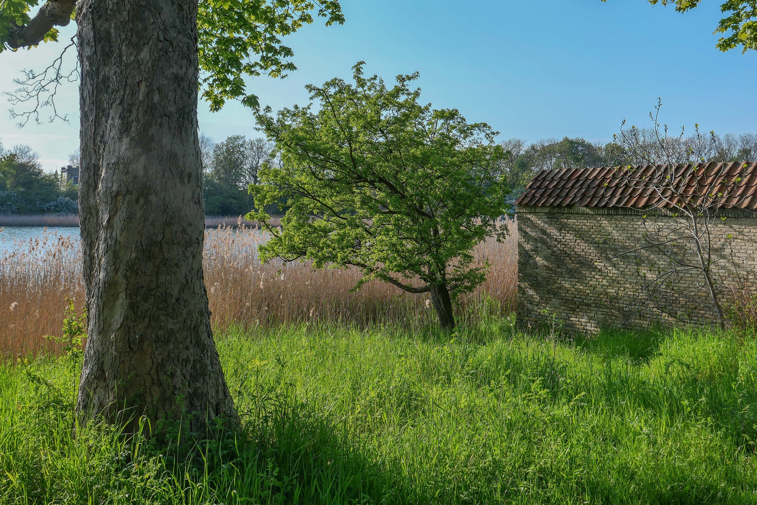
There is a wide stretch of water to the west, to the city side, with views of the bastions of Christianshavns Vold. Even though this is looking towards the centre of the city, about all you see across the water are reed beds and the trees on the banks and bastions with just a few low buildings including the group of green houses and outbuildings of the restaurant Noma.

On the side of the lane away from the city there is a low bank, now covered with trees, but originally this provided cover for troops moving along the inner lane. On that outer side of the outer defence there is now a shallow stream that is all that is left of a wide stretch of marsh and shallow water between the defences and the original shore of Amager.

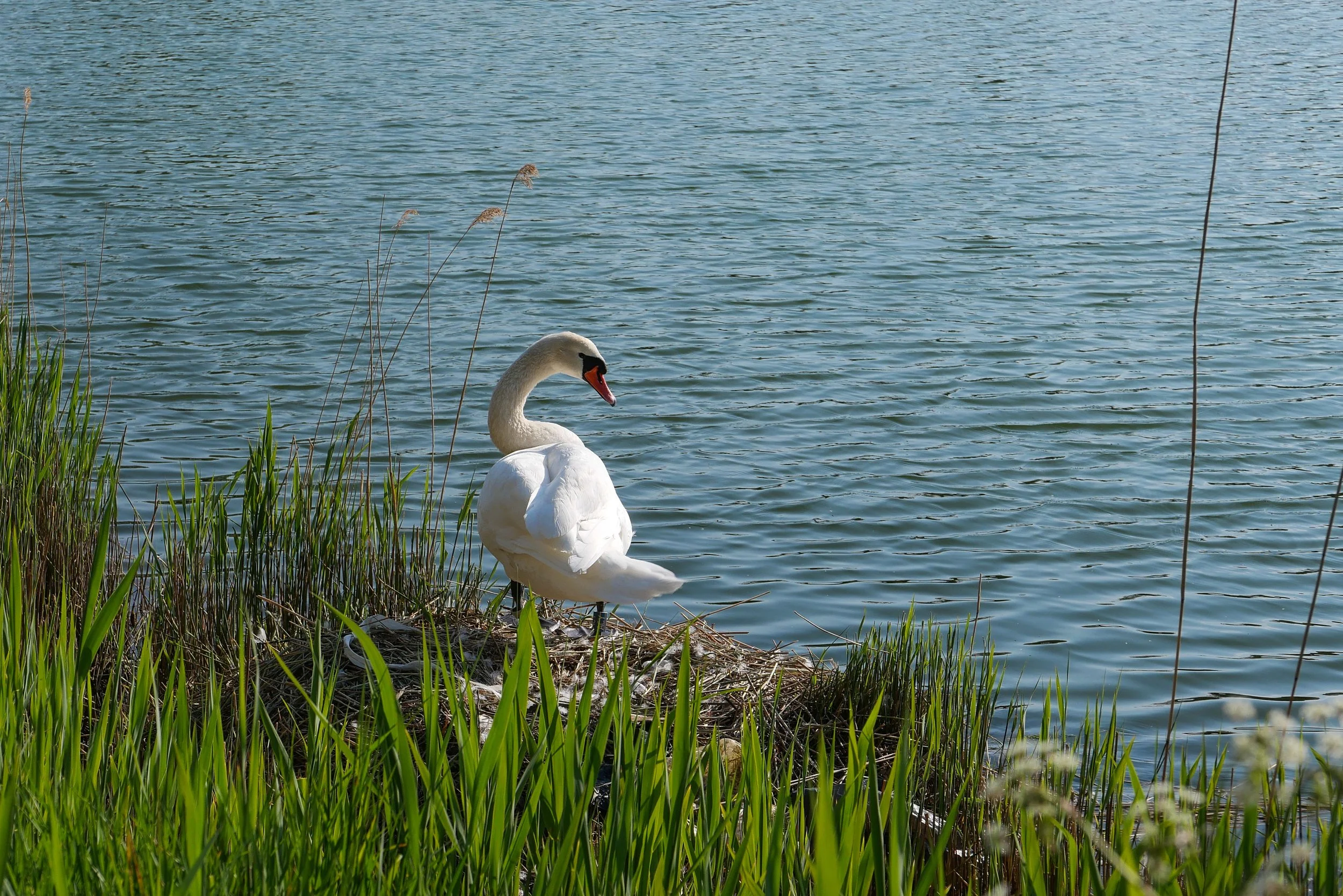
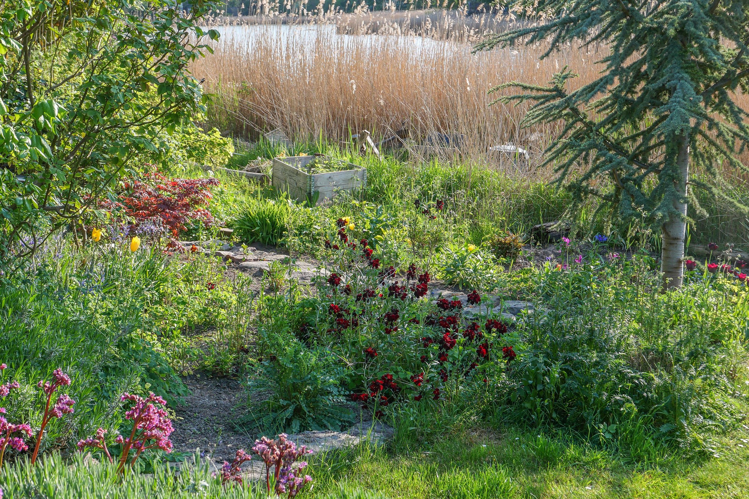
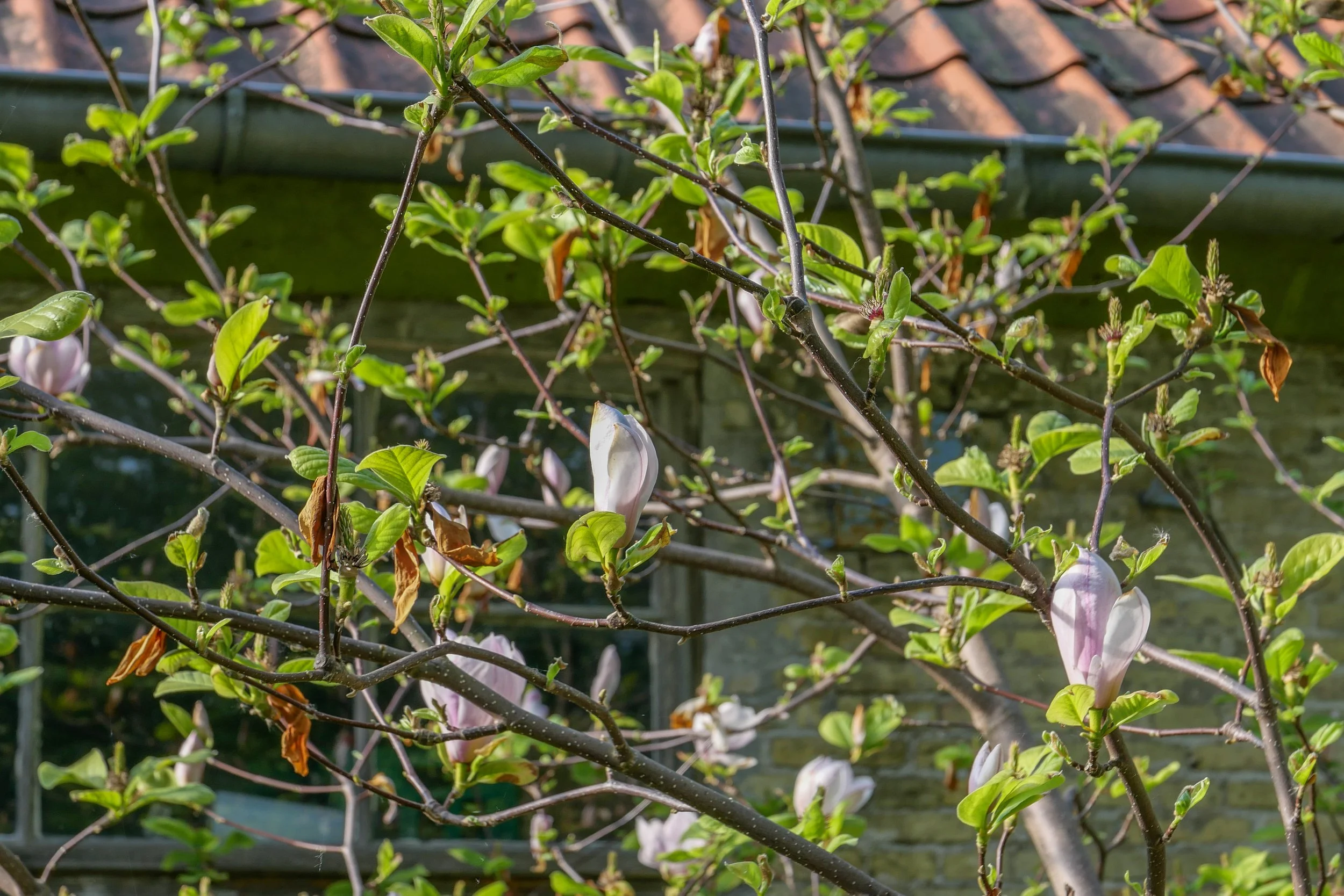
This is not nature in the raw but dense planting includes mature trees and good growths of shrubs including decorative species like magnolia and lilac. Small gardens have been established by the families living here and the wide stretch of water has extensive reed beds along the shallow water of the shore and it is a haven for water fowl.

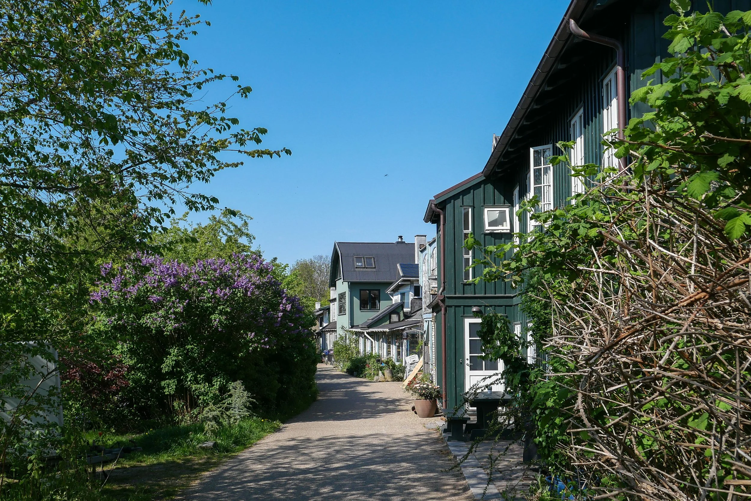
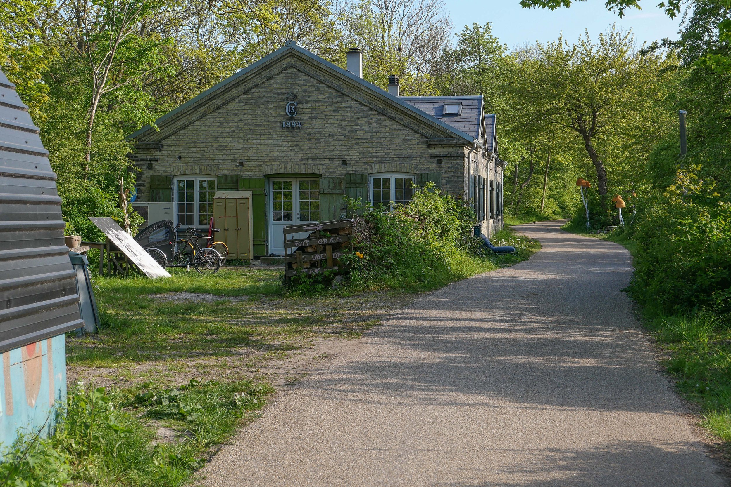
Houses along the lane are part of the settlement of Christiania and were built with salvaged and reused materials and well before most people even considered that rampant redevelopment in concrete and steel could possibly be a problem.

I said walk but it was more like a slow saunter taking photographs as and when.
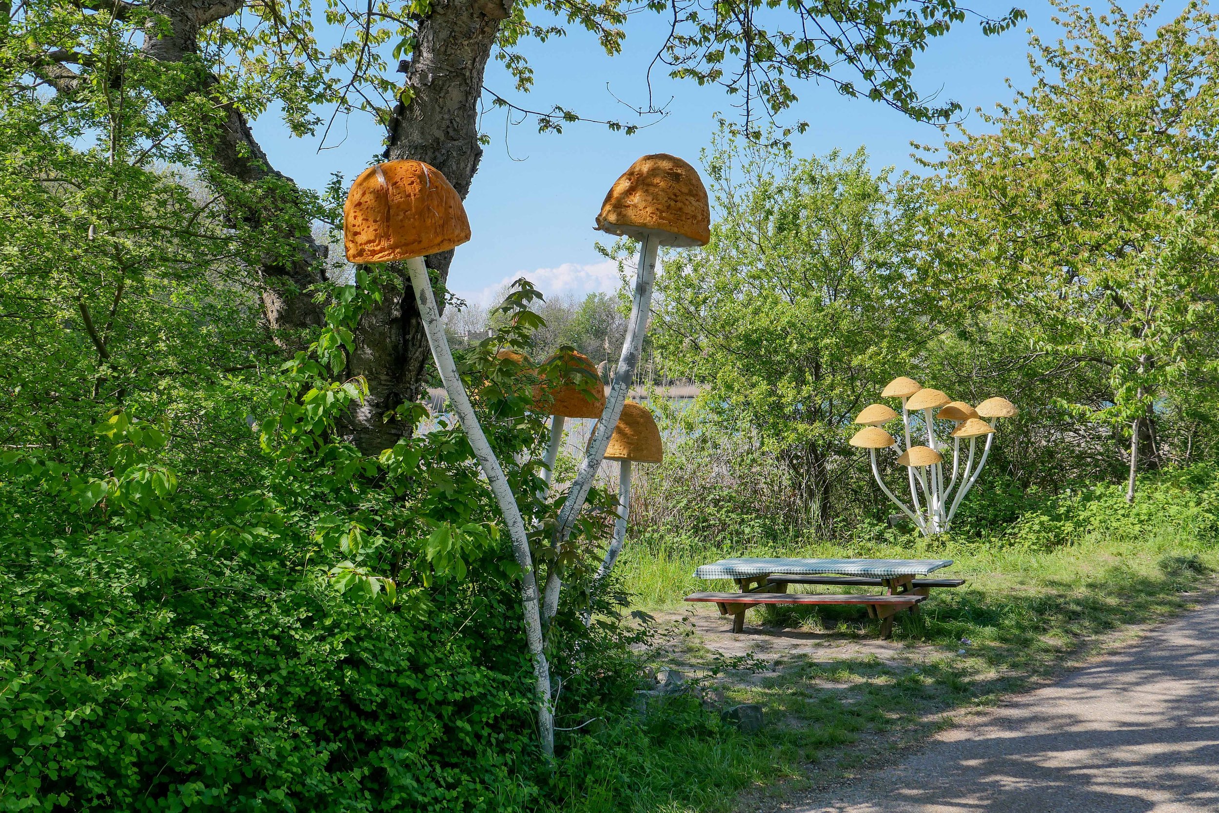
I saw the exhibition at Copenhagen Contemporary and then headed back as the light softened. The photos above are shown simply in the sequence I took them.
Every time I do this walk, I appreciate that this is an amazing part of the city because here I am not out on some distant country lane but just a kilometre or so from the centre of Copenhagen.

Platform C - Syddyssen by Fokstrot

Dyssebroen … the bridge from Christiania to the outer bank of the defences
on the far side of the bridge, syddysen is the lane to the right and middyssen is the lane to the left

① Kløvermarken
② Dyssebroen
③ Øens Have
④ Copenhagen Contemporary

Øens Have on Refshaleøen has opened for the summer


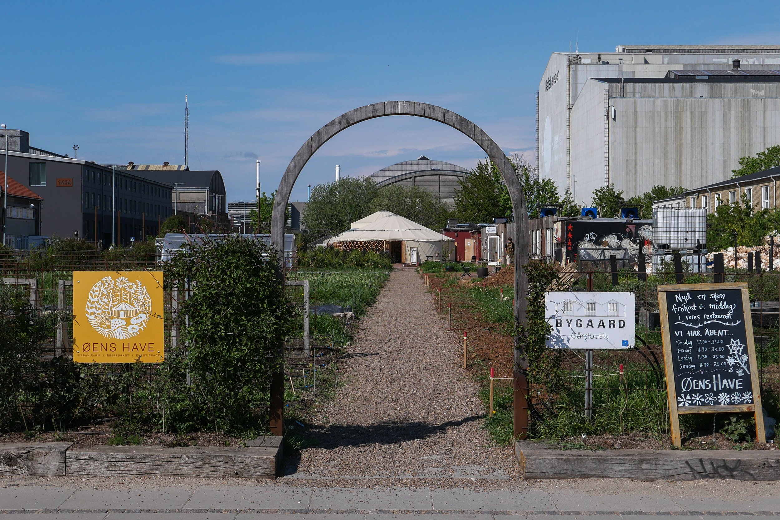
Øens Have - the urban farm on Refshaleøen with a restaurant and space for events - has opened for the summer.

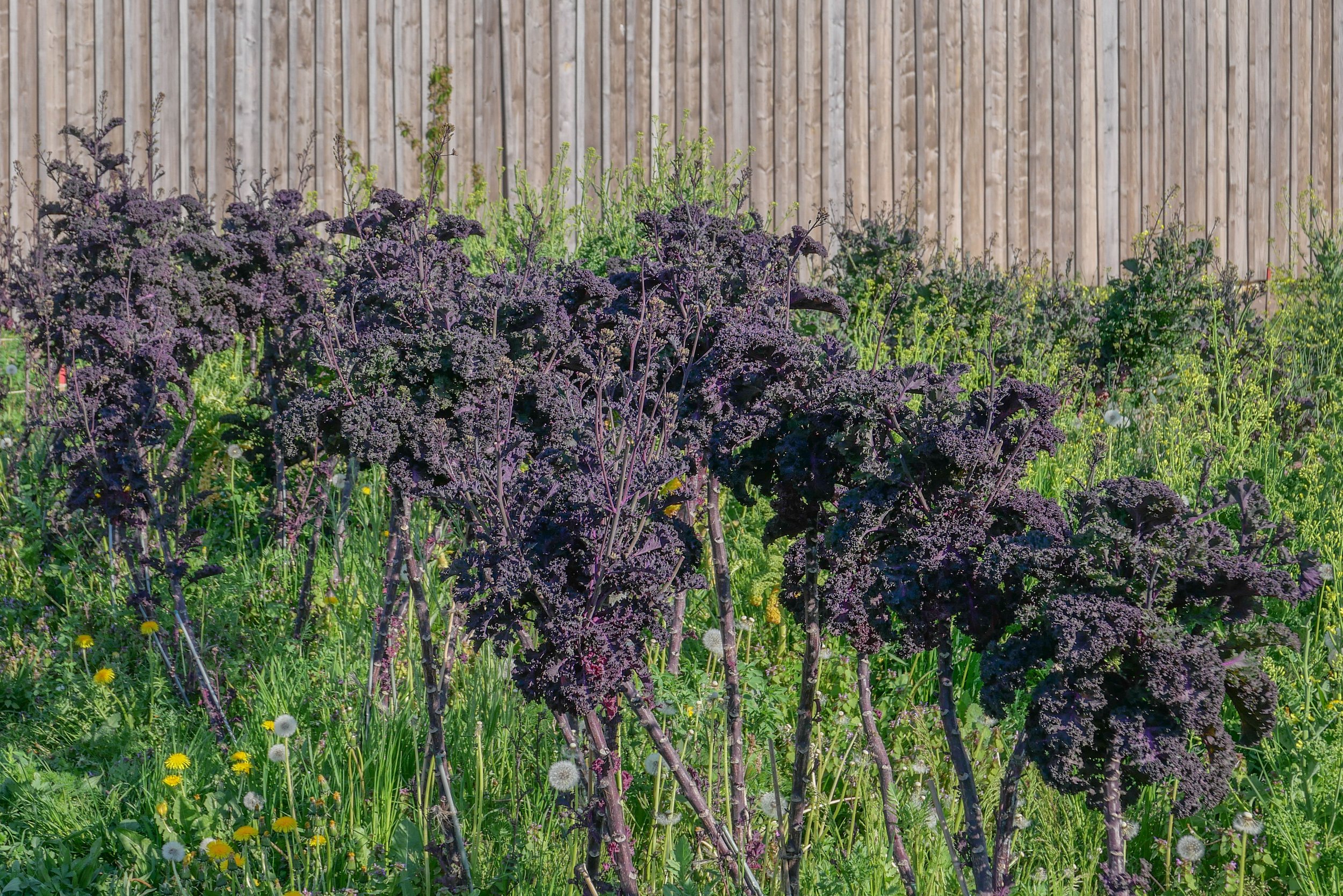
There are still rows of winter greens that have survived but the first leaves of recently-sown vegetables for the new season are coming through.

I walked past just four weeks ago and the change in the garden in that short time is amazing.

Øens Have
Refshalevej 159b
1432 Copenhagen K

Thursday 17.00 - 23.00 / Friday 11.30 - 23.00 / Saturday 11.30-23.00 / Sunday 11.30 - 21.00


Space10 has a new work and meeting area


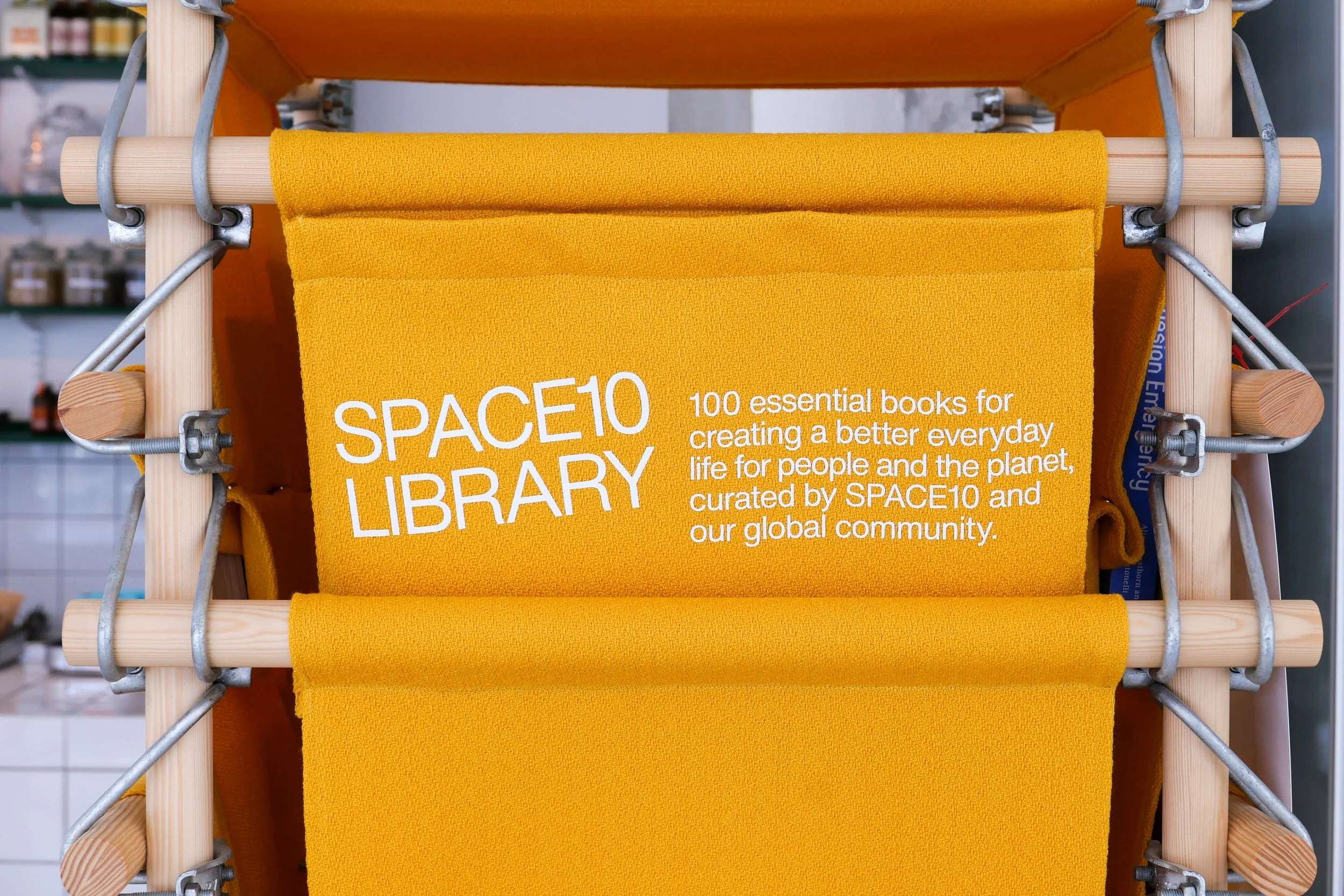
Space10 - the research and design lab of IKEA in Kødbyen - in the Meat Packing District in Copenhagen - has been a place to go for good coffee for sometime but the area just inside the entrance has now been rearranged to encourage more people to use it as a meeting and work area with wifi and a selection of books for inspiration.

Opening times have been extended.

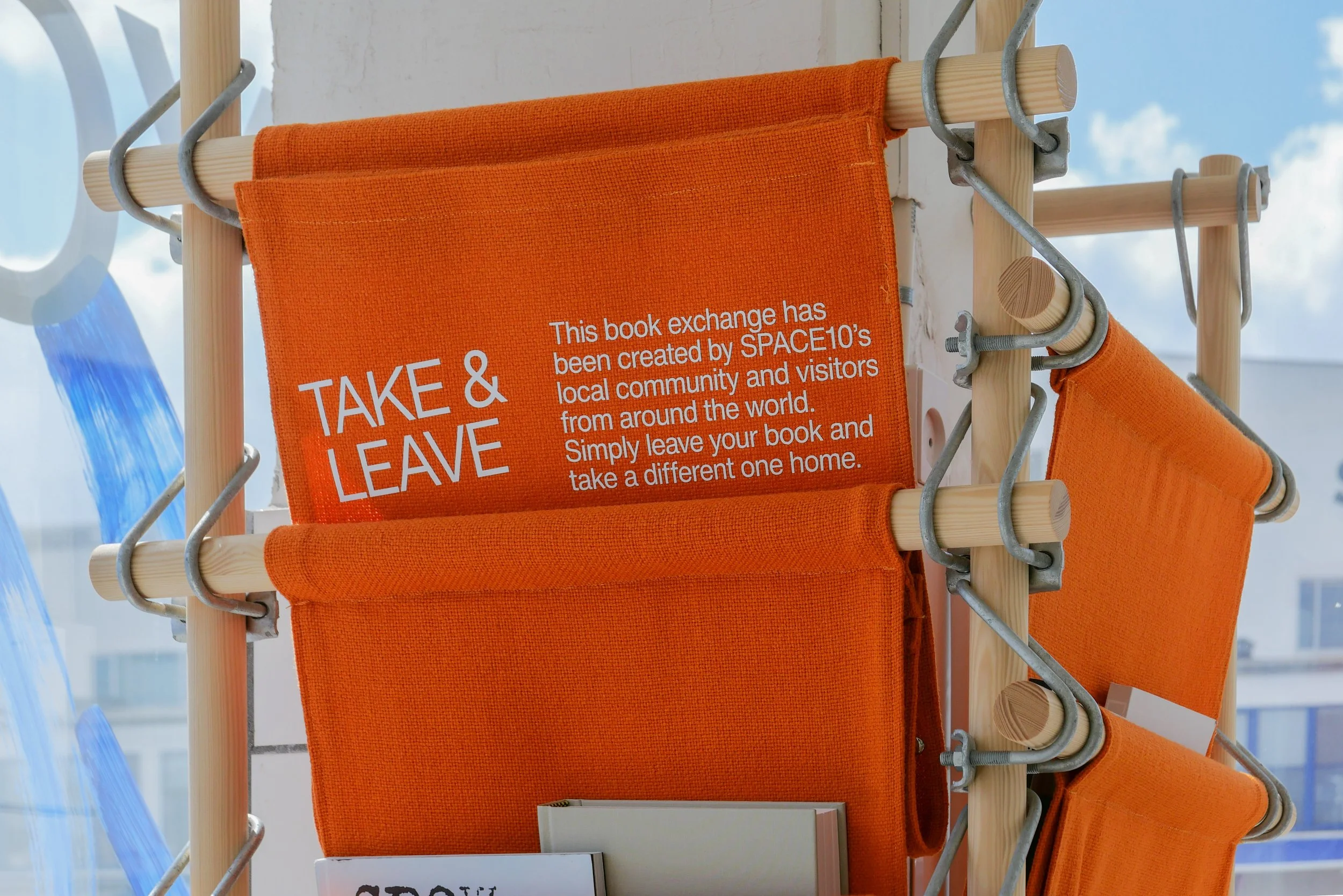
The 100 or so books - in striking canvas cradles - are recent publications on architecture and urban design that have been recommended by the staff but there is also a book exchange where anyone can leave appropriate books or take away donated books.

I would recommend signing up to the Space10 newsletter for information about their programme of exhibitions, lectures and discussions about research work in the lab. It is a sharply-designed site and is now establishing a substantial and stimulating archive that is tracking current thoughts and ground-breaking new research on urban living and design.

SPACE10 - library
SPACE10, Flæsketorvet 10, Københaven
open Monday to Thursday 9.00 to 17.00


Bispeengbuen - a new plan

Yesterday, an article in the Danish newspaper Politken reported that planners and politicians in Copenhagen might have come to a decision on the fate of Bispeengbuen - the section of elevated motorway that runs down the border between Frederiksberg and the Nørrebro district of Copenhagen.

One of several major schemes to improve the road system in the city in the late 1960s and 1970s, Bispeengbuen was planned to reduce delays for traffic coming into the city from suburbs to the north west.

At the south end of the elevated section, at Borups Plads, traffic, heading into the city, drops back down to street level and continues first down Ågade and then on down Åboulevard to the lakes and, if it is through traffic, then on, past the city hall, and down HC Andersens Boulevard to Langebro and across the harbour to Amager.

Between the elevated section and the lakes, the road follows the line of a river that, from the late 16th century, had flowed through low-lying meadows - the Bispeeng or Bishop's Meadow - and brought fresh water in to the lakes. In 1897, the river was dropped down into a covered culvert and it still flows underground below the present traffic.

From the start, the elevated section was controversial as it cuts past and close to apartment buildings on either side - close to windows at second-floor level - and the area underneath is gloomy and generally oppressive. Traffic is fast moving and generates a fair bit of noise and it forms a distinct barrier between the districts on either side.

There has been an ambitious plan to drop the road and its traffic down into a tunnel with the river brought back up to the surface as the main feature of a new linear park. The full and very ambitious plan - for ambitious read expensive - was to extend the tunnel on to take all through traffic underground, to Amager on the south side of the harbour.

There has been talk of a less expensive plan to demolish the elevated section, to bring all traffic back down to street level, which would be cheaper but would not reduce the traffic and would leave the heavy traffic on HC Andersens Boulevard as a barrier between the city centre and the densely-populated inner suburb of Vesterbro.

This latest scheme, a slightly curious compromise, is to demolish half the elevated section. That's not half the length but one side of the elevated section. There are three lanes and a hard shoulder in each direction and the north-bound and city bound sides are on independent structures. With one side removed, traffic in both directions would be on the remaining side but presumably speed limits would be reduced - so, possibly, reducing traffic noise - and the demolished side would be replaced by green areas although it would still be under the shadow of the surviving lanes.

It was suggested in the article that this is considered to have the least impact on the environment for the greatest gain ... the impact of both demolition and new construction are now assessed for any construction project.

There is already a relatively short and narrow section of park on the west side of the highway, just south of Borups Plads, and that is surprisingly quiet - despite alongside the road.

On both sides of the road, housing is densely laid out with very little public green space so it would seem that both the city of Copenhagen and the city of Frederiksberg are keen to proceed. Presumably they feel half the park is better than none although I'm not sure you could argue that half an elevated highway is anywhere near as good as no elevated motorway.

The situation is further complicated because the highway is owned and controlled by the state - as it is part of the national road system - so they would have to approve any work and police in the city may also be in a position to veto plans if they feel that it will have too much of an impact on the movement of traffic through the area.

update - Bispeengbuen - 14 January 2020
update - a road tunnel below Åboulevard - 15 January 2020

note:
Given the brouhaha over each new proposal to demolish the elevated section of the motorway, it is only 700 metres overall from the railway bridge to Borups Plads and it takes the traffic over just two major intersections - at Nordre Fasanvej and Borups Allé -  where otherwise there would be cross roads with traffic lights. I'm not implying that the impact of the road is negligible - it has a huge impact on the area - but, back in the 1960s, planners clearly had no idea how many problems and how much expense they were pushing forward half a century with a scheme that, to them, must have seemed rational.

My assumption has been that the motorway was constructed, under pressure from the car and road lobby, as part of a tarmac version of the Finger Plan of the 1940s.

The famous Finger Plan was an attempt to provide control over the expansion of the city, and was based on what were then the relatively-new suburban railway lines that run out from the centre. New housing was to be built close to railway stations and with areas of green between the developments along each railway line .... hence the resemblance to a hand with the city centre as the palm and the railway lines as outstretched fingers.

Then, through the 1950s and 1960s, the number of private cars in Copenhagen increased dramatically and deliveries of goods by road also increased as commercial traffic by rail declined.

I don't know who the traffic planners were in Copenhagen in the 1950s and 1960s but, looking back, they barely appreciated old building or existing communities, and, presumably, looked to LA and, possibly, to the Romania of Nicolae Ceaușescu for inspiration. Their ultimate aim, in their professional lives, seems have been to design a perfect motorway intersection where traffic flowed without any delays.

They wanted to build a motorway down the lakes and when that was thwarted they proposed a massive motorway system that was to be one block back from the outer shore of the lakes - sweeping away the inner districts of Østerbro and Nørrebro - and with new apartment buildings along the edge of the lake - between their new motorway and the lake - that would have formed a series of semi-circular amphitheatres looking across the lakes to the old city. The whole of the inner half of Vesterbro, including the meat market area, and the area of the railway station would have become an enormous interchange of motorways where the only purpose was to keep traffic moving.

We have to be grateful that few of those road schemes were realised but there is also a clear lesson that, however amazing and visionary a major plan for new infrastructure may appear, it can, in solving an immediate problem, create huge problems for future generations to sort out.

approaching the elevated motorway from the south
the motorway from Ågade on the east side
the motorway crossing Borups Allé

the river close to the lakes at Åboulevard but now in a culvert below the road

Bispeengbuen under construction showing how it cut a swathe through the existing neighbourhood - city archive 50675

the earlier proposal to bury the road in a tunnel and bring the river back up to the surface as the main feature of a new linear park

small area of park on the west side of the road

clapping for Lynetteholm stops

Work on dredging in the entrance to the harbour, for the construction of the man-made island of Lynetteholm, has been stopped because further reports are now required on the environmental impact of dredging polluted sludge from the site and taking it down the coast to the bay at Køge to dump.

There is growing criticism of the new island and it has become a contentious issue in both parliament and in the press because criticisms or, at the very least least concern, from the Swedish government about the construction work and the island itself was not revealed when a construction act for the work was debated and passed in the Danish parliament.

work to start on dredging for the construction of Lynetteholm January 2022

note:
When I wrote about Lynetteholm in the New Year, I had to confess then that I was not sure what the Danish term klapning meant or rather what it means specifically in this context when clearing the sea bed of sludge by dredging.

The word used in all newspaper articles was klapning but dictionaries and Google always gave me clapping as the English translation but neither word was used in general articles on dredging.

Finally I tracked down the answer.

When sludge is dredged up to clear a channel or, as here, to form a stable base for constructing a man-made island, the sand and mud can be loaded onto large open barges or ships and they sail down the coast where, over a designated site, they open large flaps on the underside of the hull to release the sludge. Those flaps can be opened and closed several times to dislodge everything .... hence clapping. Obvious now I know.

looking out from Nordhavn to the Sound
at the centre of the view is Trekroner Fortet - the Three Crowns Fortress - built in the 1780s to guard the entrance to the harbour

the new island will fill the whole horizon beyond the fort with just a narrow channel for boats to enter and leave the inner harbour

by 2070, when building work on the island is set to be completed, this view will be filled by the skyline of new housing for 35,000 people


it’s 50 years since the last trams ran through the city

Today is an interesting anniversary because it's now fifty years since the tram service in Copenhagen was shut down with the last trams running through the city on 22 April 1972.

The first trams in the city were horse drawn but electric trams were brought in from the 1890s and the first tram routes were established by private companies but in 1911 the city took over the operation of the tram system.

New trams, tram terminals and street furniture for the tram service were then designed by the city architects department.

At one stage the length of the tram routes through and around the city was just under 100 kilometres in total.

an unbuilt tram station for Rådhuspladsen March 2020
Bien at Trianglen July 2018

horse-drawn trams on Kongens Nytorv in 1913
Copenhagen City Archive reference 51787

a tram on Amager in 1966


tram designed for the city in 1910 by Knud V Engelhardt (1882-1931) - Denmark’s first industrial designer


a curious design to get across a serious message?

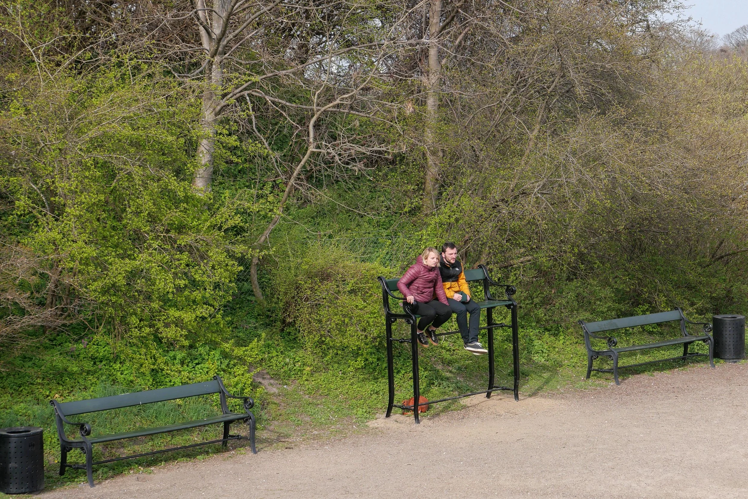
Benches like this have appeared in about half a dozen places around the city.

My first thought was that it seemed like a rather extreme way to stop people stretching out and sleeping on park benches. Then I wondered if it was a particularly thick apprentice in the ironworks who got the measurements wrong but that seemed more than a bit unlikely as these benches have been made here since 1888 so, really, they should know what they are doing by now.

Then I saw an article in the newspaper that sort of explained everything. They are 85 cm too high and that's the height that some scientists have suggested that sea levels will rise by the end of the century if we do not tackle CO2 pollution and sort out climate change.

The pedant in me thought that it's a bit of an obscure way to represent impending disaster and that it only really works if the benches were at the end of Ofelia Plads where the concrete runs down into the sea of the harbour but then anything helps if it makes people stop and think .... even if it is only to think how the hell would I get up there or, come to that, get down without breaking an ankle.

design classic: the Copenhagen bench
the Copenhagen bench
high water in the harbour
Ofelia Plads


the site of Carlsberg Brewery

When JC Jacobsen decided to build a new brewery outside the city, one reason would have been a need for more space to expand the business …. his first brewery was in a courtyard in Brolæggerstræde - close to Nytorv in the centre of Copenhagen - in a property that had been purchased by his father in 1826.

However, he must also have been concerned about finding a clean and consistent source of fresh water and for ways to discard the waste from the brewing process - not easy in the densely packed streets of the old city.

By 1847, Jacobsen had found what we would call now a greenfield site nearly 3 kilometres outside the city and built his new brewery there, alongside a new railway so, then, his next problem must surely have been finding men prepared to go that far out of the city to work. The story of Carlsberg is an important example that shows how Danish manufacturers moved production and labour from small urban workshops to new and rapidly expanding and rapidly developing factories outside the city.

read more

JC Jacobsen opened his new brewery in 1847 on an open site outside the city and alongside the new railway from Copenhagen to Roskilde that was finished that same year - detail from a map of 1860

a last chance to see the exhibition Living Better Lives

This weekend is the last chance to see the important and controversial exhibition Living Better Lives about the work of the Danish architectural studio Vandkunsten.

Tegnestuen Vandkunsten - an architecture firm based in Copenhagen - were founded in 1970 and the exhibition has been an opportunity to see and to assess their work over the last 50 years as their buildings have been seen to challenge and set the tone of “climate and social agendas in Danish architecture and urban planning.”

Here, in the exhibition, they suggest alternative and more sustainable, designs for homes with ideas for housing that would have much smaller areas of personal space but more shared or communal areas and would use sustainable or reused materials in construction.

The exhibition ends on the 18th April.

Living Better Lives
Vandkunsten
Danish Architecture Center
Bryghuspladsen 10,
1473 København K


‘TAKE THE JUMP AND LET'S DO THIS TOGETHER’

Yesterday, there was an interesting article in The Guardian about a new movement that has just been launched in Britain to encourage people to make key changes in the way that they live to help combat climate change.

"From using smartphones for longer to ending car ownership, research shows 'less stuff and more joy' is the way forward."

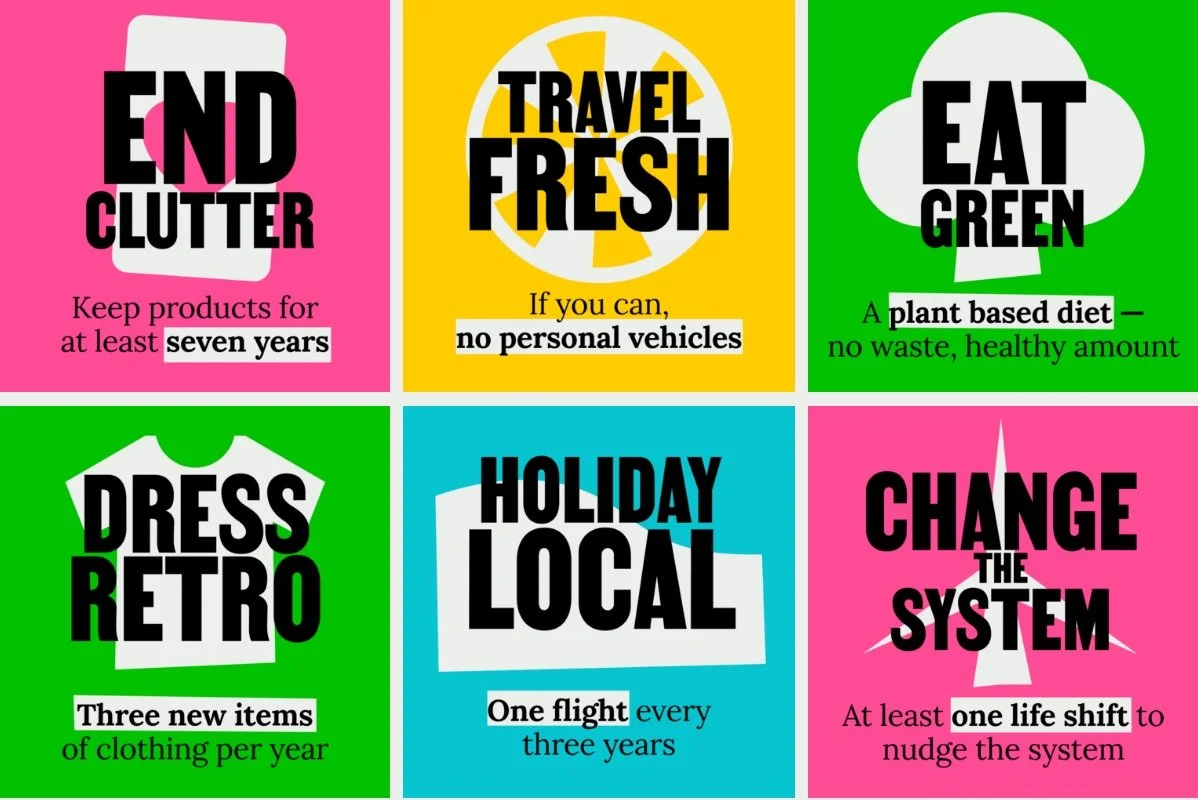
TAKE THE JUMP suggests six changes we can all make to the way we live - or what they call six ‘shifts’ - to protect our earth.

These are to:

  •  keep products, particularly electrical goods, for seven years or more

  • get rid of personal motor vehicles

  • eat a mostly plant-based diet and reduce food waste

  • buy only three new items of clothing each year and buy second hand and to repair rather than discard clothes

  • fly only once every three years or once every eight years if it's a long haul flight

  • move to green investments and pensions to force institutions to change "the system"

There is also the recommendation that families should move to green energy and insulate homes to help energy efficiency. Curiously, this is not one of the six shifts although, surely, this is crucial in every country in Europe if we are to meet a target to reduce energy consumption by two thirds by 2030.

The article highlights obvious problems with our current attitudes to consumption or, rather, our addiction to over consumption, in a society that replaces rather than repairs.

For an iPhone, 13% of emissions are from when it is used and 86% from production, transport and end of life processing.

Clothing and textile industries together produce more greenhouse gas than international aviation.

Transport is responsible for 25% of all greenhouse gas emissions and two-thirds of that is from the engines of road vehicles but the article also makes the important point that:

“…. although there is a lot of emphasis on the role of electric vehicles (EVs) in tackling climate change, a bigger effort needs to go towards reducing the number of cars on the road overall as a significant source of emissions is in the manufacture of vehicles – even EVs.”

The Jump campaign was co-founded by Tom Bailey and it's conclusions are based on extensive research from Leeds University, research by the C40 group of world cities and research undertaken by ARUP under Ben Smith, their director of climate change.

But, curiously, TAKE THE JUMP only goes as far as to suggest that people, for now, try these changes for a month or possibly for three months or 6 months although it concludes that everyone has to make these changes in the next ten years.

Big changes can start with small steps. 

Six promises you can make to help carbon emissions
by Matthew Taylor, The Guardian, 7 March 2022

TAKE THE JUMP


“Changing our behaviours around food is the most impactful of all the shifts. And it’s not just about climate change; if you look at biodiversity loss, land use change, fertilisers in the ocean creating dead zones and the massive extinction and loss of insects due to pesticides, these problems are all driven by food.”

Tom Bailey


Space Saga at the Danish Architecture Center

Space Saga - a new exhibition about recent research into how people could live on the moon - has just opened at the Danish Architecture Centre and in time for the start of the school winter holiday.

There are certainly plenty of things to occupy children and trigger their imaginations - including a chance to build a moon module in Lego - but intriguing and complicated concepts are also explored that apply more widely to life down here on earth ….. so, for instance, on how light or lack of light effects our sleep patterns, and with a direct impact on our mental and physical health, and important questions are raised about the food we need rather the food we want and the importance of smell and taste in our lives.

With space exploration, there is the stress of very real isolation or, rather, isolation with a few other people in a tightly-confined space so this exhibition is, in part, about how humans have been such a successful animal because we find the ways that help us adapt to even the most extreme and hostile environments.

At the centre of the exhibition is the Lunark module from SAGA Space Architects that was built to help understand how people could survive if a long-term or even a permanent settlement was established on the moon.

In 2020, Sebastian Aristotelis and Karl-Johan Sørensen took the pod to Moriusaq -a bay over 1,000 kilometres north of the Arctic Circle in Greenland - where, for 60 days, it was a base for them to investigate the “psychological effects associated with isolation” in an extreme and hostile environment.

The form of the pod, with interlocked and hinged panels, was inspired by Japanese origami so it could be collapsed down for transport but, unfolded, held within a light aluminium frame and anchored down, it formed a stable structure.

I would not survive for long in such a confined space … I find it difficult to cope with small spaces so I need to look out at sky and light at regular intervals and I tend to pace up and down at regular intervals as I work. On top of that, I suffer badly from SAD during long winter nights so would certainly have failed any profiling tests for selection for this trial although, on the plus side, and for reasons I’ve never been able to fathom, I have never suffered from travel sickness or jet lag so maybe not a complete non starter.

When you look inside the pod, it’s clear that it was designed primarily as a tightly-organised lab in which to work because there is no real space for anything else. There is a small table or workbench on each side, that can be folded back, and with two chairs and a very small stove on the floor - cooking was basic so about boiling a kettle for hot water to rehydrate dried food - and, above on each side, there are cramped bunks buried into the thick insulation panels. In the small lobby of the entrance, or what is euphemistically called the airlock, there is a toilet and that is about it.

The mission was the subject of a series of programmes - Eksperimentet: 60 dage på månen - that were broadcast in June 2021 but can still be viewed on the DR tv channel (in Danish).

A Space Saga
Danish Architecture Centre
from 12 February to 4 September 2022


high water in the harbour

Even without looking out of the window, living on Nyhavn, I know when the level of the water in the harbour is high because I can hear the engines of the tourists boats turning over as they stop at a small landing stage at Nyhavnsbroen, for people to get on and off, rather than going on under the bridge to their main landing stage at the inner end of Nyhavn at Kongens Nytorv.

Most of the boats have windscreens to shield the skipper but these are hinged to drop down to gain a few inches to get under the bridge and, through the summer, my days are punctuated by tannoy announcements from the guides trying to make passengers sit down as the boat goes under Nyhavnsbroen. I’ve never seen a tourist’s head floating in the harbour but it would give them a great if final selfie.

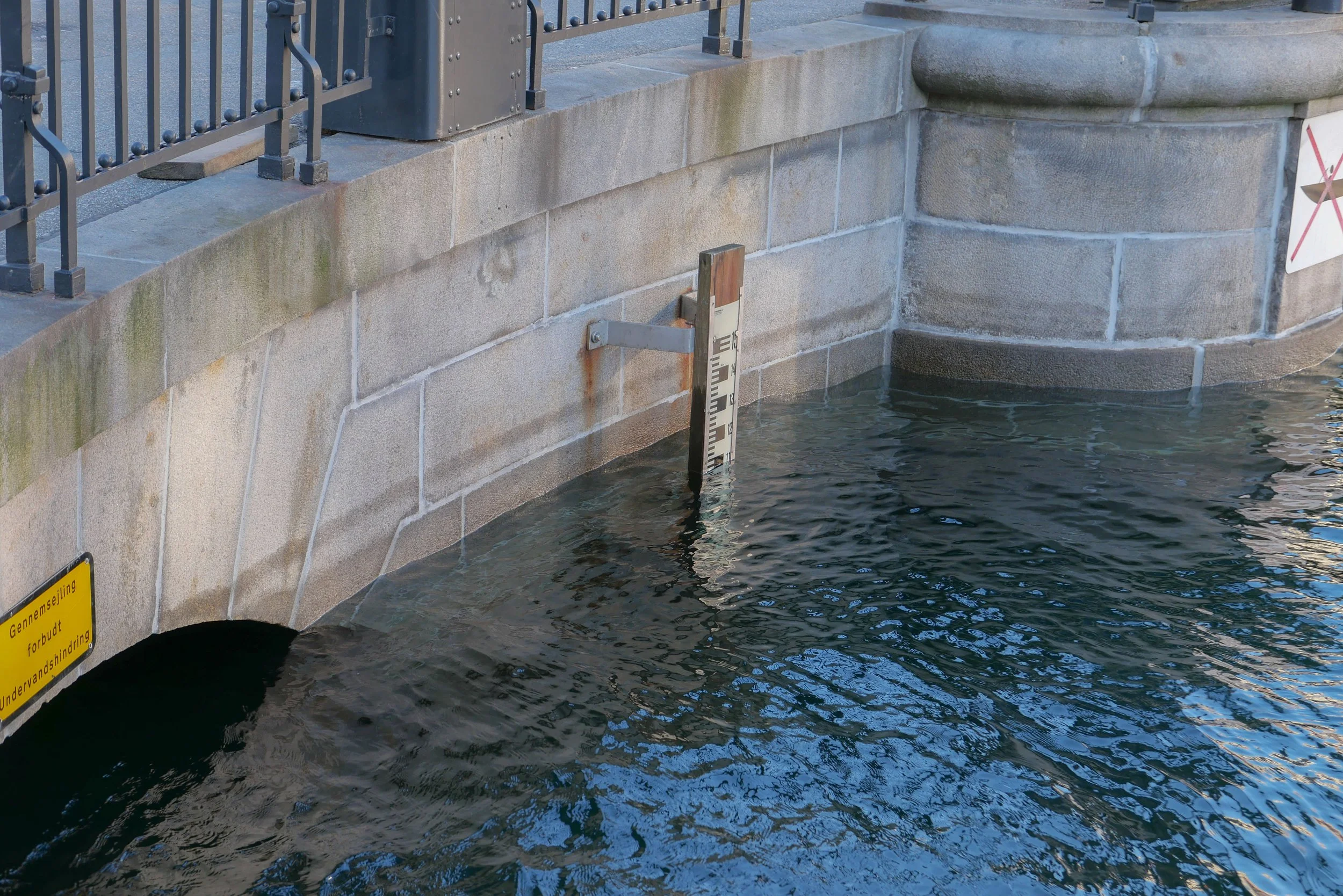
On Sunday the water in Nyhavn was at the highest level I have seen since I moved here …. about 1.5 metres above its normal level and just 60cm below the level of the quay.

Such a high water level was caused by storms over Denmark on Saturday. Named Storm Malik by Danmarks Meteorolgiske Institut, it forced water from the North Sea against the west coast and caused water to rise between the islands so effecting Limfjorden, Roskilde Fjord, and, to a lesser extent, Copenhagen.

It sounds dramatic but there had been good, early and accurate warnings so vulnerable areas prepared with sand bags and booms and here boat owners adjusted moorings and checked service pipes to and from their boats.

Of course, people were out on Sunday morning because they were curious but Copenhageners, like city people the World over, are pretty nonchalant about these things …. or, at least, can feign nonchalance. When I told a neighbour that this was the highest I have seen water in the harbour, he sniffed and said in his 55 years of working and living around Nyhavn, he had seen the water much, much, much higher.

Danmarks Meteorologiske Institut - Storm Malik

water lapping over the lower level of the quay at Gammel Strand

looking down at Nyhavnsbroen - the bridge across Nyhavn - at about 10am on Sunday. With the water this high, it would be difficult to get a raft let alone a tourist boat under the bridge to get to the inner end of Nyhavn at Kongens Nytorv

the water level at Nyhavnsbroen on Sunday at about 10am …. the water level had already dropped by about 20 cm - as shown by the tide mark - because when the water was at it’s highest point, the arched opening was completely submerged

update:
24 hours later - at about 10am on Monday - the water level had dropped by 1.6 metres and, if anything, is lower than normal
the warehouses at the end of Nyhavn and Skuespilhuset / The National Theatre from the inner harbour bridge around lunchtime on Sunday when the level of water in the inner harbour had already dropped

the main canal through Christianshavn where the quay is not at a constant level and, at one of the lowest points, the road was just 20 cm above the water
this sounds dramatic but, of course, if the water had risen above the edge of the quay then, as the area of flooding increases, then increasingly large amounts of water would be needed to raise the level

of course, that does happen but, more often, the problem is that, as the level of water in the harbour rises, storm drains that clear water from the street, fail and drains and sewers back up


why the city has to prepare for rising sea levels

This weekend, Danmarks Meteorologiske Institut classed Storm Malik as level two on their scale with the highest storm level being four.

The storm drove water from the Sound into the harbour and when you look at the area of the inner harbour then the amount of water here was certainly impressive - amazing even - but not dramatic for there was little flooding.

But storm surges will become more of a problem as sea levels rise because of climate change and could become a dangerous and expensive catastrophe if storm surges or high levels of water in the Sound and in the harbour coincide with heavy rain over the city. To put it simply, that is when water running of the land meets water flooding in.

Cloud bursts here are dramatic with a cloud burst defined as 15cm or more of rain falling within 30 minutes so the policy now is to control and contain surface water so that it can be released into the harbour once water levels drop. There are now also plans for raising sea defences including the construction of a tidal barrier that could be raised to block the entrance to the harbour in the event of a storm like Malik.

also see:
Sankt Kjelds Plads - climate change landscape
climate change and sustainability in Denmark?
Enghave Parken - restoration and climate change mitigation
climate change - Scandiagade

This is Christians Brygge where it goes under Knippelsbro - the bridge at the centre of the inner harbour that links the historic centre to Christianshavn and Amager. This road along the quay is a main route into the city from the south. The water was just shallow enough to drive through although unfortunate for cyclists caught by the spray and the wake from cars.

It was difficult to judge (I did not have a tape measure with me) but this flooding appears to be above the level of the water in the harbour so may well have been caused by the water in the harbour rising and blocking drains- The level of the road surface cannot be raised because the construction of the historic bridge has a shallow arch which is an integral part of the construction and already limits the height of traffic …. hence the warning lights and red and white striped warning sign.

The prediction is that, by 2070, sea levels could rise by 50cm and this map, from Danmarks Meteorologiske Institut, shows the parts of the city that would be flooded should there be a storm surge of 1.9 metres on top of that …. the rise in level this weekend was about 1.6 metres in the harbour and was, I think, rated as a once in 20 year event

The map shows the roads under the harbour bridges flooded; water over the quay in Nyhavn; Ofelia Plads and the harbour end of Sankt Annæ Plads flooded. More important, extensive areas of Christianshavn and the whole of Christiania would be under water. The outer defences of Christianshavn would overflow, including possibly covering the road between Christianshavn and Amager.

Kløvermarken - the large area of park south of the old defence and here shaped rather like a grand piano - would be under water. This is significant because plans to build housing across Kløvermarken are back on the planners’ agenda. Maybe a fact-finding trip to Chiloe in Chile might be useful to look at ways of building houses on stilts! Or maybe, just maybe, leaving Kløvermarken as an open green space for sports might be an easier if less profitable option.

work to start on dredging for the construction of Lynetteholm

At the end of 2021, the Danish Parliament passed a Construction Act for Lynetteholm and work on the new, man-made island across the entrance to the harbour will start later this month with extensive dredging that will remove sludge across the sea bed to form a stable base for the next stage when landfill will be brought in to create the island.

That sediment - estimated to be around 2.5 million tonnes across the sea bed - is described as "slightly polluted" so, presumably, that means that there is contamination from the harbour, contamination from shipping entering and leaving the harbour and pollution from the old ship yards on Refshaleøen.

‘Sludge’ will be taken south by barge to be dumped in the bay off the town of Køge. The Danish word used in the local press for this is 'klapning' or clapping but I'm not sure if that is the process or the term for the sludge. A recent article talked about the 'clapping area'.

read more

from Langelinie looking east - out to the Sound

at the centre is Trekroner Fortet - the Three Crowns Fortress - built in the 1780s to guard the entrance to the harbour
to the far left is the massive warehouse of UNICEF out at Nordhavn and the three white buildings are the cruise ship terminal
to the right the buildings are at the north end of Refshaleøen

the new island will fill the whole horizon with just a channel in front of the cruise ship terminals for boats entering and leaving the inner harbour


Copenhagen, Amager and Saltholmen in the middle of the 19th century showing shallow marshes and mud flats in the bay south of the harbour and the map has the depth of the main channels in the Sound


Bo bedre bæredytigt / Living Better Lives


”Lad Os” (Let’s) - the Vandkunsten Manifesto

Lad os bo mindre og bedre!
    Let's live smaller and better!

Lad os dele mere!
    Let's share more!

Lad naturen flytte ind!
    Let nature move in!

Lad os gøre det selv, sammen!
    Let's DIY, together!

Lad det være og se skønheden!
    Let it be and enjoy its beauty!

This is an important exhibition to celebrates the 50th anniversary of the architectural studio Vandkunsten. It looks at some of their major projects from those decades - but also asks crucial questions about how we can construct more sustainable buildings in the future by using materials in new ways or by giving old materials a second life.

The architects and designers from Vandkunsten have built their reputation on coming at problems with a less conventional approach and here they not only propose a “manifesto” for the design of homes but also suggest that, in the future, homes have to be smaller - much smaller: we should share facilities with our neighbours with the trade off that there would be to more communal areas but less private space.

Here, a home built at the the centre of the exhibition has a floor area of just 37 square metres that is not a holiday home or a temporary home but what could be a model for permanent living space for two or three people.

Recently, it has been suggested that building standards for homes in Copenhagen should be modified - for modified read downgraded - but is that really the only or the right way forward?

Living Better Lives is an opportunity to consider the implications of having less space and to think about alternative ways of building when most of us do accept that the way we live really does have to be sustainable.

Bo bedre bæredygtigt / Living Better Lives
20 November 2021 - 18 April 2022
Dansk Arkitektur Center / Danish Architecture Center
Bryghuspladsen 10, 1473 København K

Vandkunsten


70% LESS CO2 - Conversion to a Viable Age

An important exhibition has just opened at the Royal Academy schools of Architecture, Design and Conservation.

Students and teaching departments were asked to submit their projects for inclusion and 31 were chosen for the exhibition to illustrate how new ideas, new materials and new methods of construction or manufacturing will help to reduce global emissions of CO2 by at least 70%.

Significant levels of CO2 are produced by the fashion industries from the production of the raw materials through manufacturing and through high levels of waste and around 10% of the global emissions of CO2 are from the ubiquitous use of concrete in all forms of construction so several projects here suggest major changes to what we make and build and how we use materials.

But there are also projects on using new materials from algae, lichen and mycelium and even one project that uses pine needles for insulation.

There are short assessments of all the projects on the academy site.

70% LESS CO2
Det Kongelige Akademi
Arketektur Design Konservering
Danneskiold-Samsøes Allé 53, København K
7 October 2021 - 14 January 2022

Arkitekturens Dag / Architecture Day 2021

Today, the 4th October, is Architecture Day - new connections to nature and Arkitektforeningen - the Danish Association of Architects - has a list of the events throughout the country.

The theme of the programme this year is nature and green architecture with a wide range of events from an exhibition in Herning about new buildings with connections to nature to a reading of her essay on Nature and the city by Ellen Braae and a lecture by Karsten Thorlund of the architecture firm SLA on the connection between city and nature in Aalborg.

There are conducted tours of housing in a rural setting in Norre Søby, Christiansfeld and Nær Heden west of Copenhagen and also lectures, ceremonies for the presentation of design awards and a number of discussion sessions including a debate about Copenhagen as a green city of the future.

Many of the projects are visually stunning and make a clear attempt to take on board the problems that climate change now forces us to tackle but there is a danger that, although innovative engineering has begun to tackle threats from storm cloud burst floods, there is a danger that some of the landscape settings become the latest fashion for municipal planting and perilously close to green washing where, in fact, any prevarication will mean that future solutions may well have to be much more dramatic, intrusive and expensive.

In some cases, attractive and more natural planting around new suburban developments and well-insulated homes from recycled materials may not "cut the mustard" and resettlements, severe containment of urban growth to halt the the spread into surrounding countryside and intensive cultivation for food rather than attractive ponds and tame re-wilding may be forced on countries and particularly where they are vulnerable to rising sea levels.

Arkitektforeningen / Association of Architects
Architecture Day - new connections to nature - programme

A project to re-establish the old Skærevej between Hammershus and Allinge .... Erik Brandt Dam with Realdania and the Danish Nature Agency

photograph: Bjørn Pierri


Hvalsø: Debat, udstilling og aktiviter
…. and a discussion with the architect Jan Albrechtsen from Vandkunsten to be streamed live

Hedehusene: Nærheden - fremtidens grønne og bæredygtige forstad
a city walk to look at large-scale green open space in the district

3daysofdesign - eelgrass panels from Søuld


Søuld have developed and now produce building materials made from eelgrass ... an abundant, renewable and locally harvested sea plant.

Eelgrass has been used for centuries for thatching homes and farm buildings in some coastal regions of Denmark and for the exhibition at the Sabsay Gallery Store in Strandstræde there was a demonstration of the technique by a master thatcher.

The panels that Søuld make replace synthetic materials with a natural material that holds carbon that can absorbs toxins in the air but also absorbs moisture to balance the climate in the room. Salt, naturally found  in the eelgrass, deters insects.

For the exhibition, the architect David Thulstrup, produced tables and plinths and room screens that are made from the panels combined with glass and steel in a collection called MOMENTUM.

Søuld
Studio David Thulstrup
The MOMENTUM Collection

eelgrass ready for a demonstration of thatching