a walk along the lane of the outer defences
/On Sunday afternoon I walked up to Refshaløen to see a new exhibition - Yet it Moves! - at Copenhagen Contemporary.
Door to door it’s about 2 miles or just over 3 kilometres.
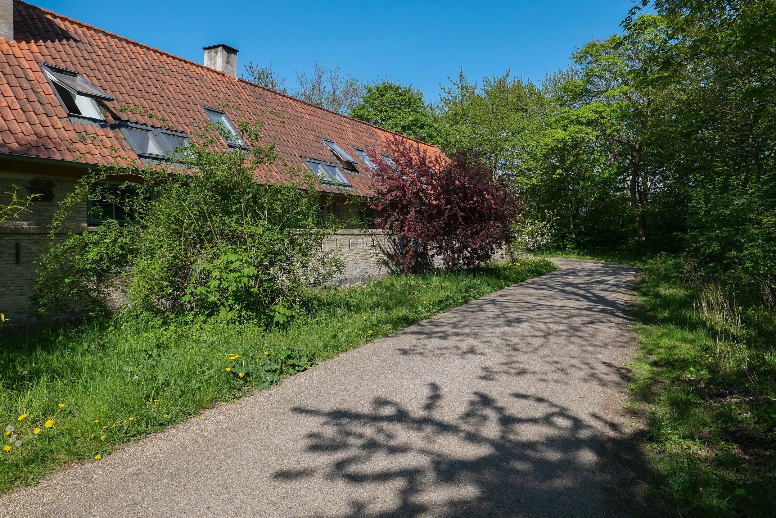
From my apartment I crossed over the open space of Kløvermarken and at the old outer defences, instead of crossing over Dyssebroen - the bridge to Christiania and the route I would take to get into the city - I headed north along Middyssen and Norddyssen and the line of four redans. This was the outer line of defences that were reinforced in the 19th century to protect an area of water outside the bastions of Christianshavns Vold that protected the part of the harbour where the large war ships of the Danish navy anchored when they were in Copenhagen.
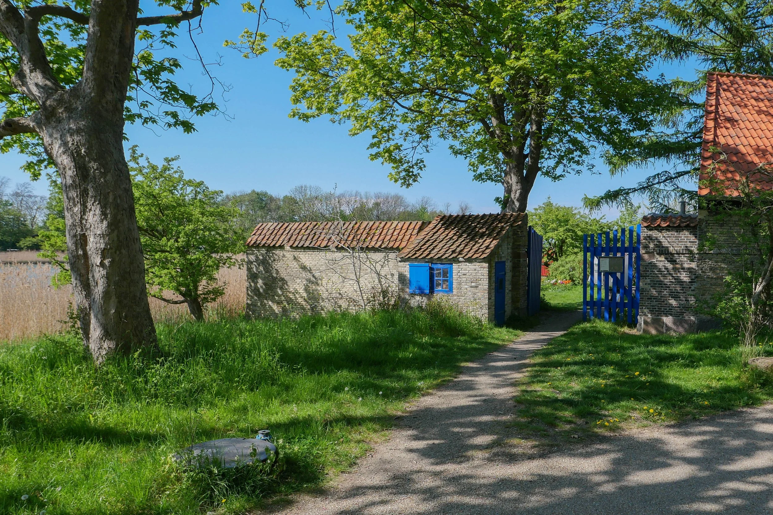
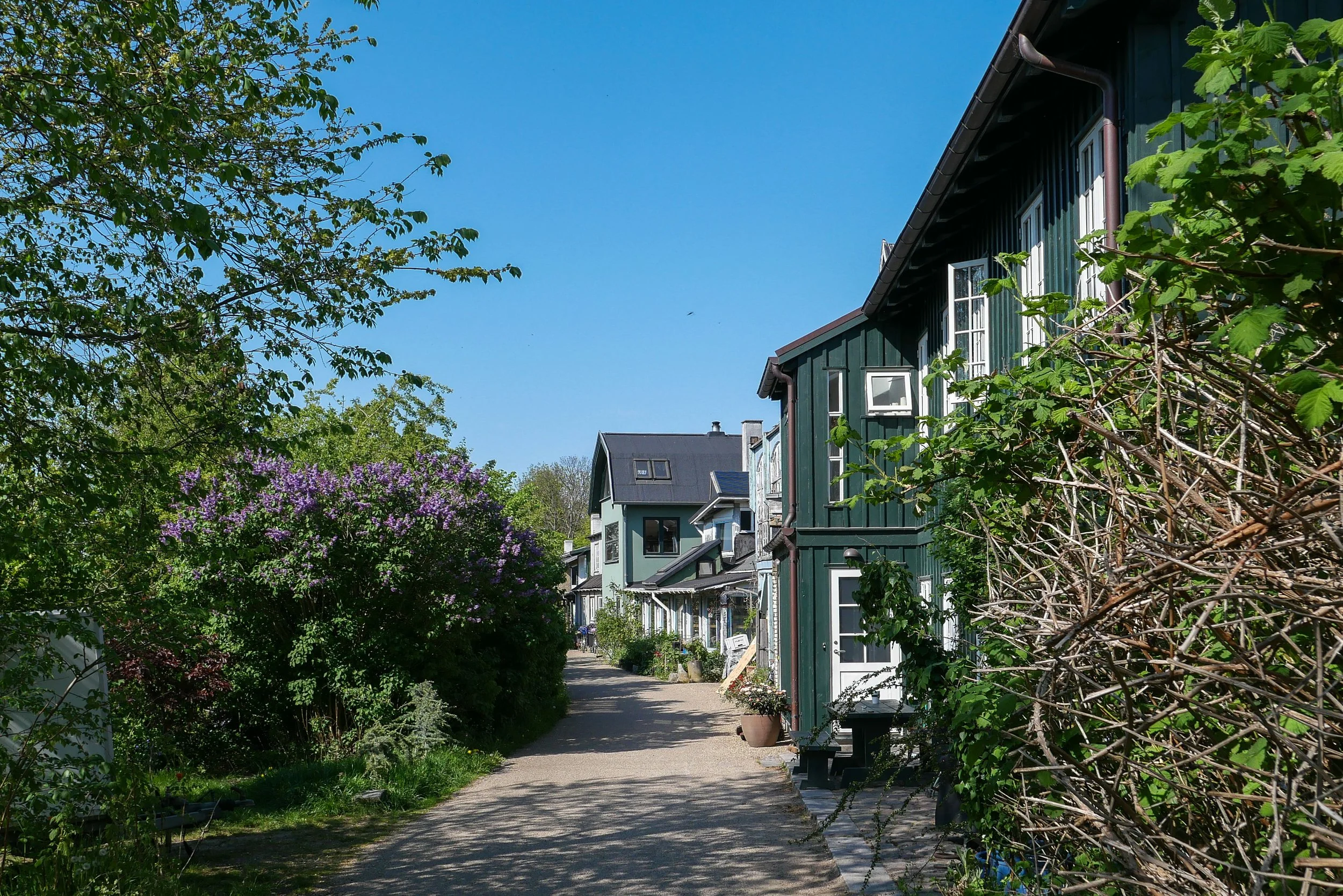
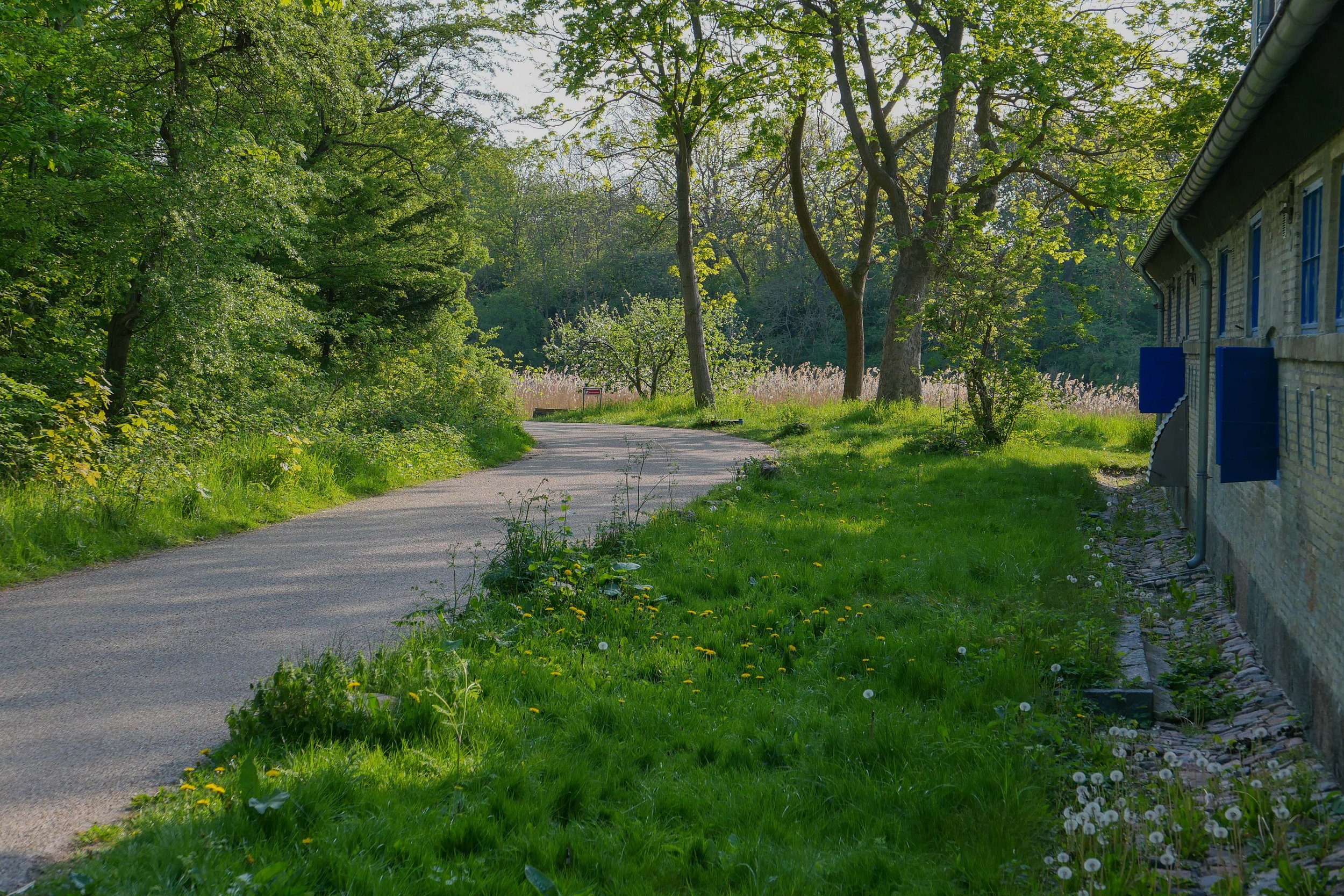
This outer defence is a narrow strip of land with a lane on the city side between the redans. These redans are triangular and have buildings surviving from the military fortifications. They project out so that from each there is not just a view out towards Amager, to see if attacking troops are on the move, but also give the defending soldiers a view each way along the outer face of the bank to give covering fire.
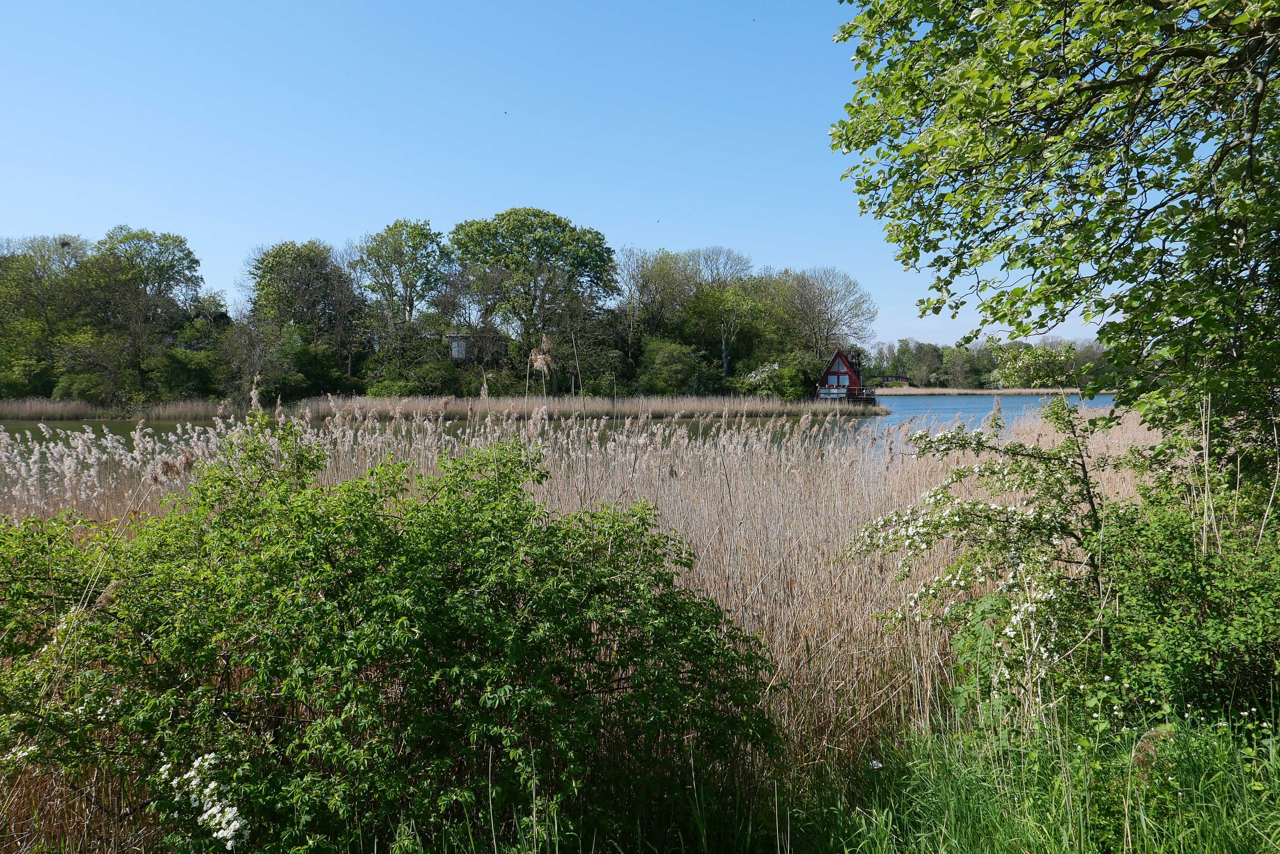
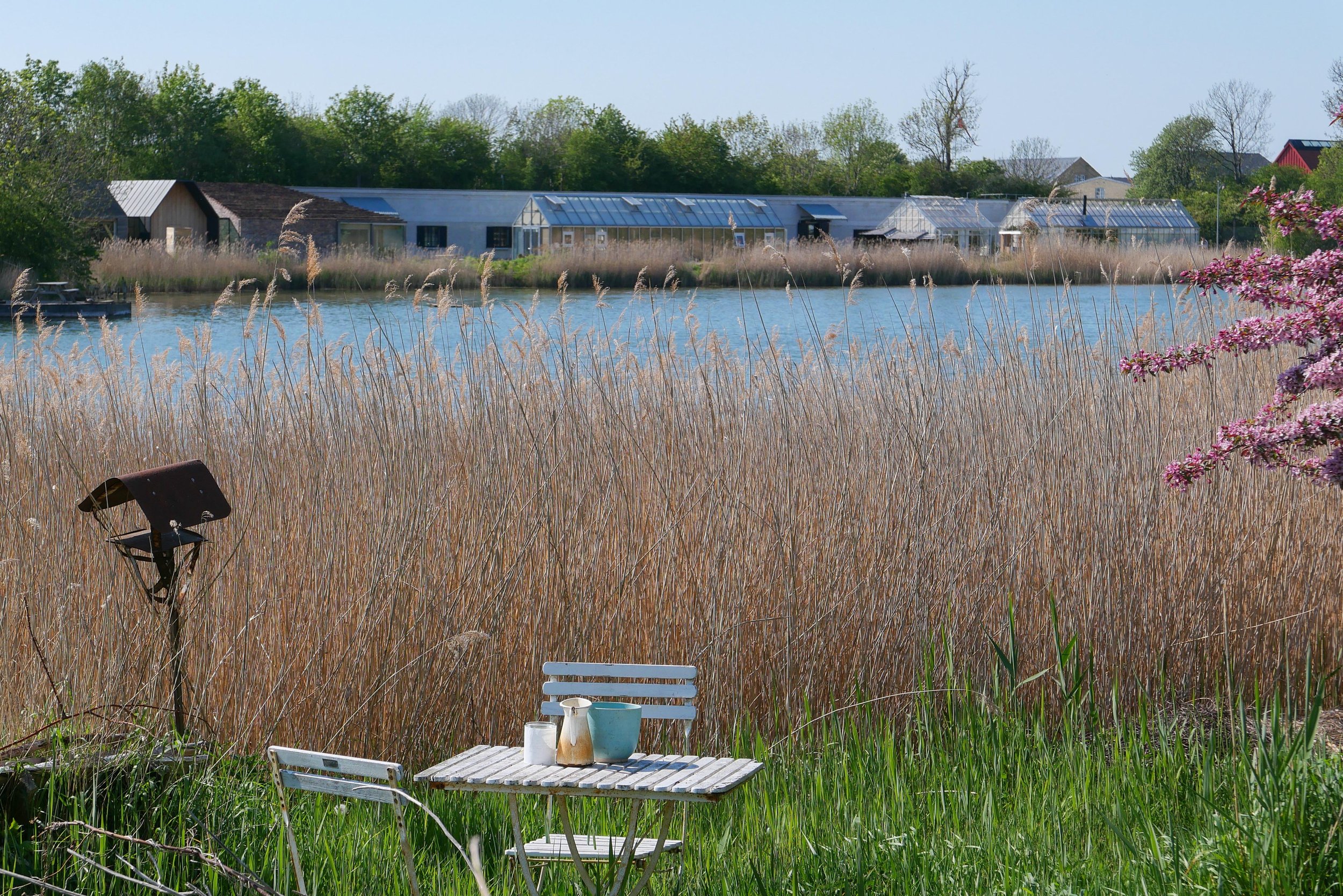
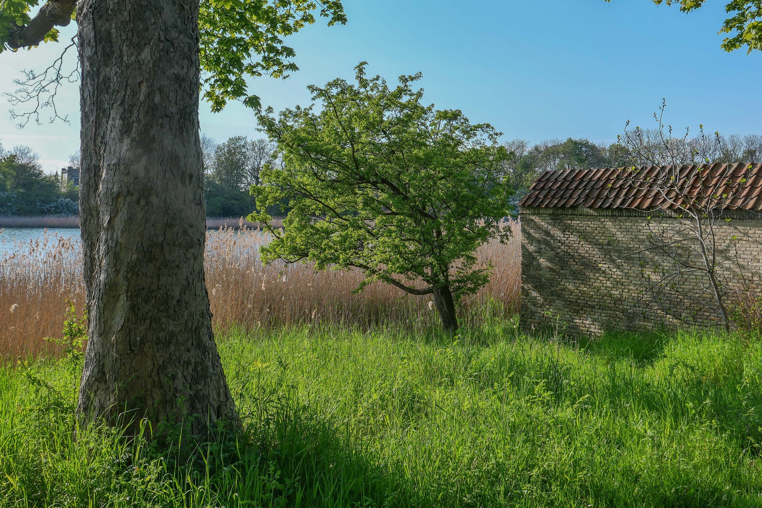
There is a wide stretch of water to the west, to the city side, with views of the bastions of Christianshavns Vold. Even though this is looking towards the centre of the city, about all you see across the water are reed beds and the trees on the banks and bastions with just a few low buildings including the group of green houses and outbuildings of the restaurant Noma.
On the side of the lane away from the city there is a low bank, now covered with trees, but originally this provided cover for troops moving along the inner lane. On that outer side of the outer defence there is now a shallow stream that is all that is left of a wide stretch of marsh and shallow water between the defences and the original shore of Amager.
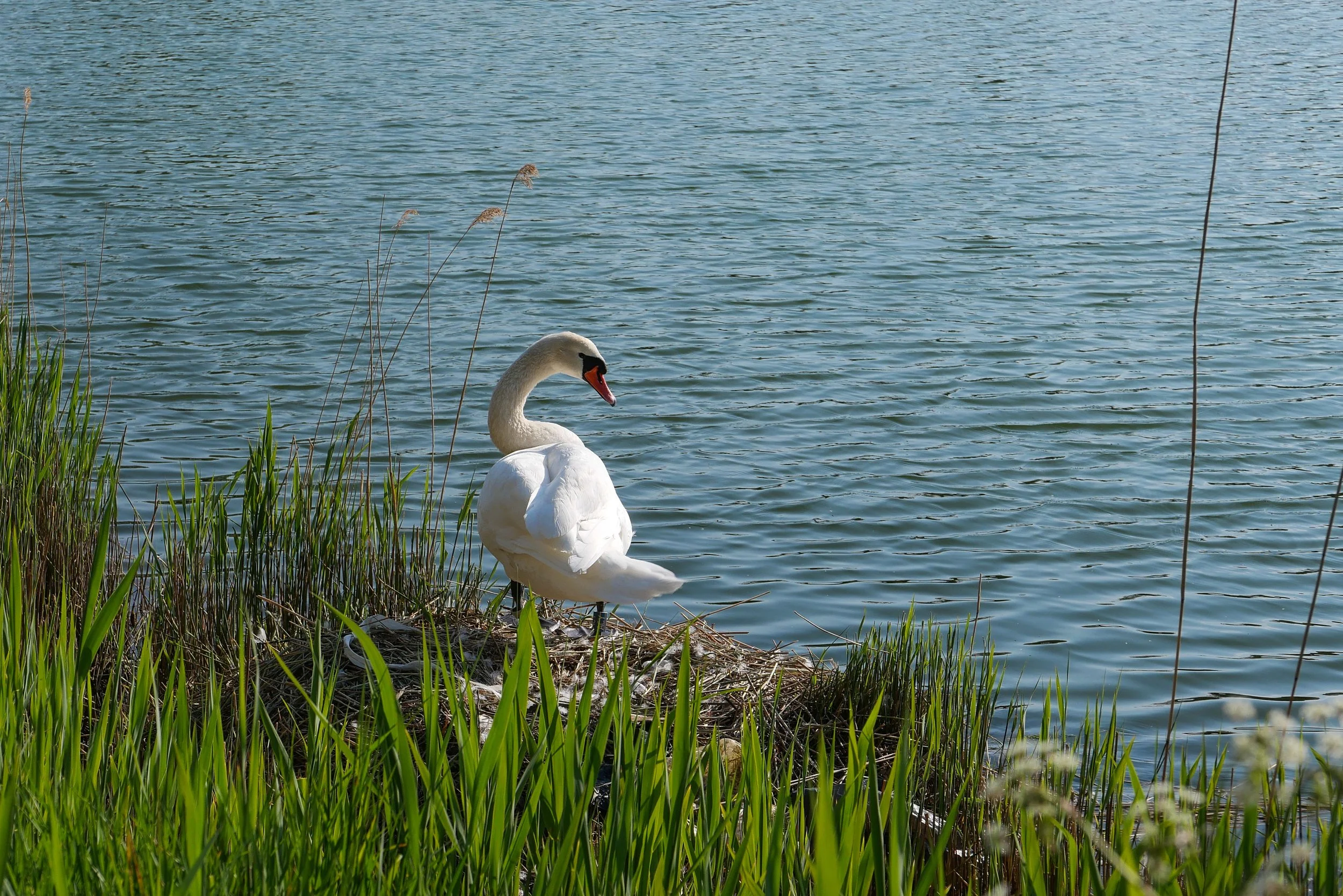
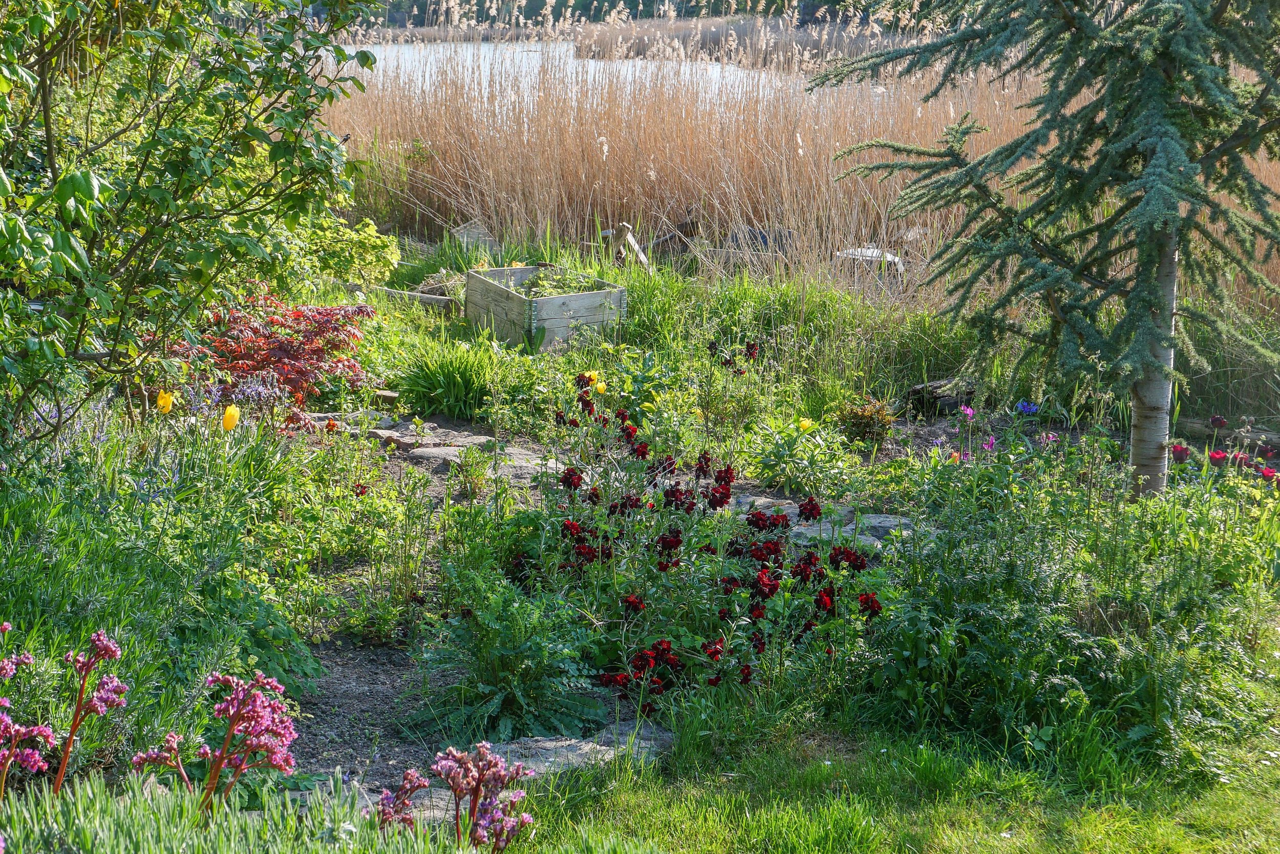
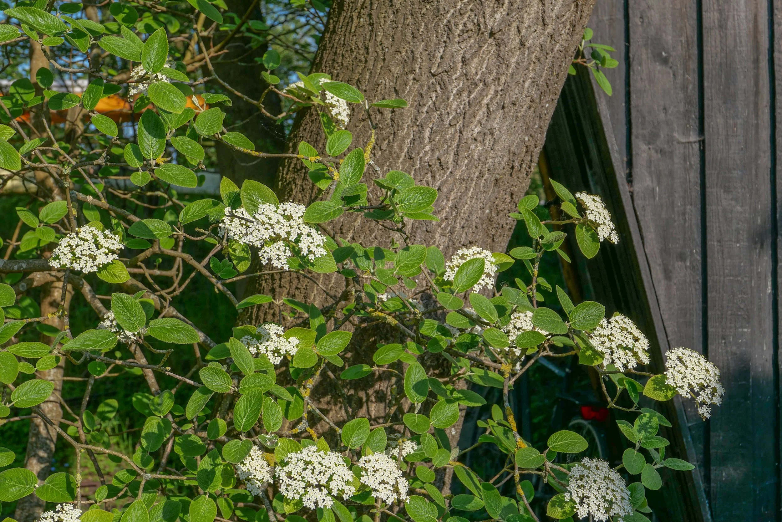
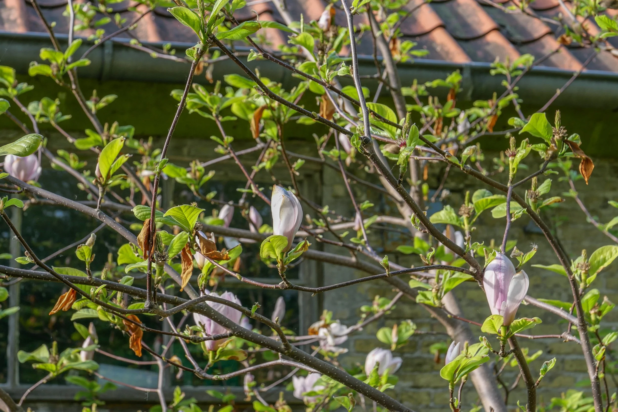
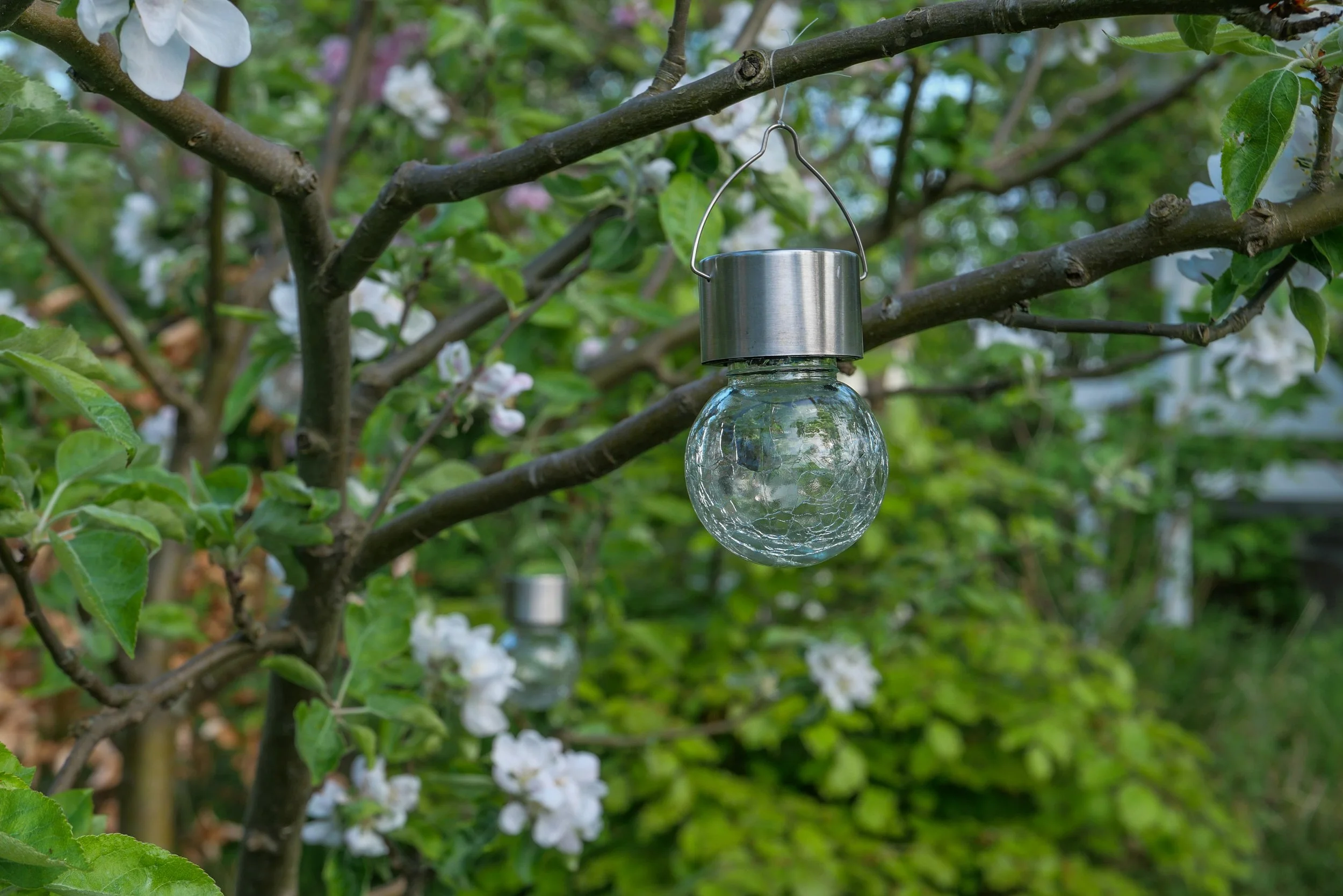
This is not nature in the raw but dense planting includes mature trees and good growths of shrubs including decorative species like magnolia and lilac. Small gardens have been established by the families living here and the wide stretch of water has extensive reed beds along the shallow water of the shore and it is a haven for water fowl.
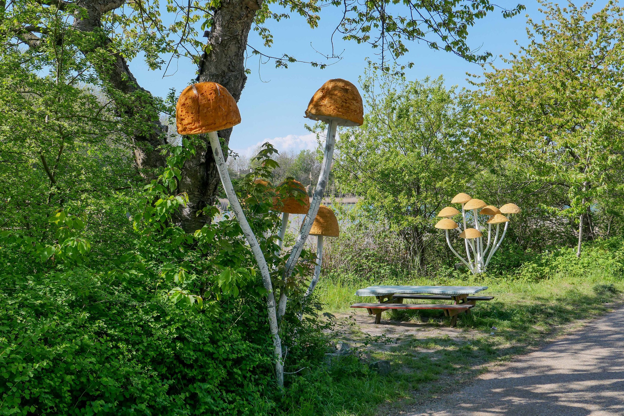
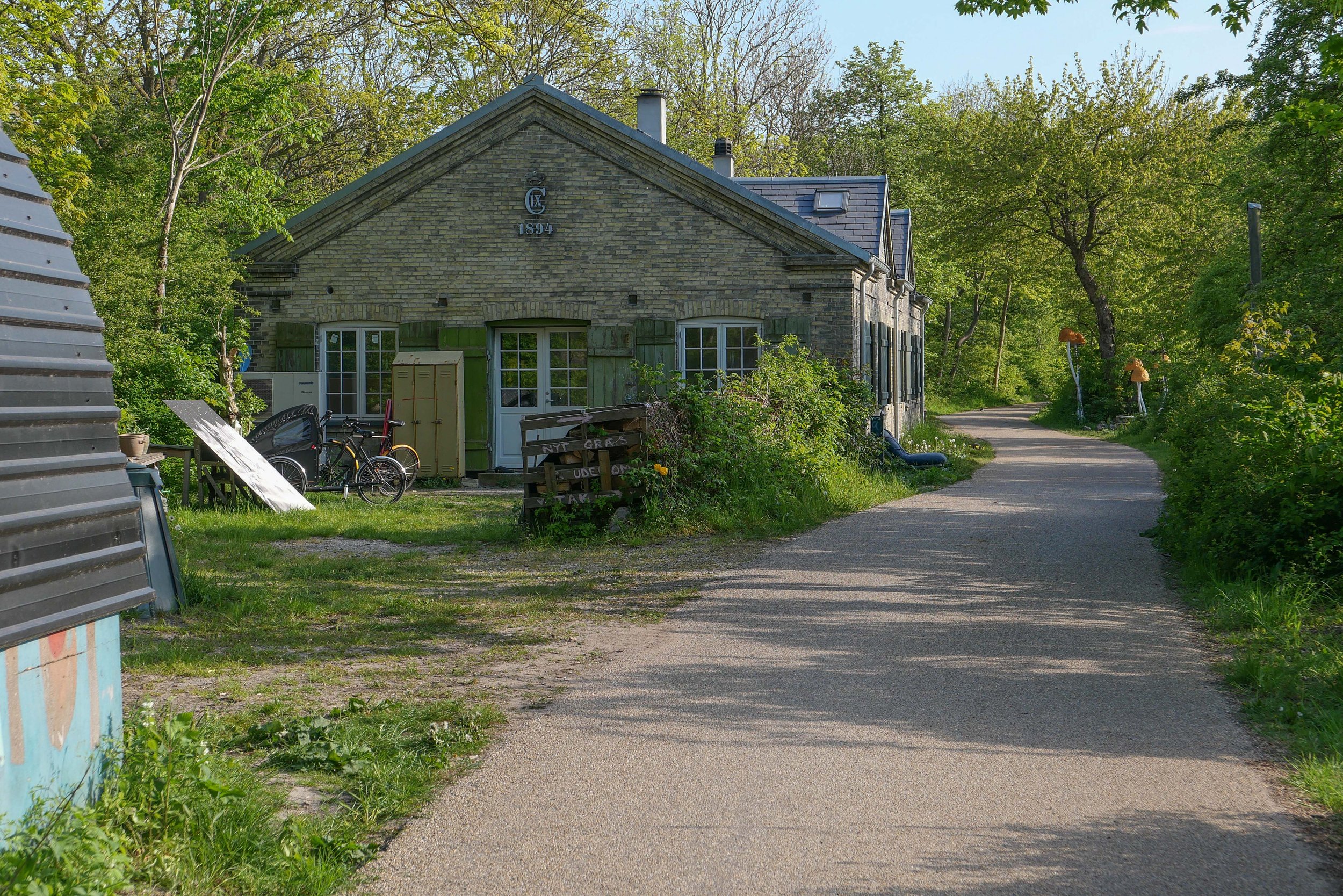
Houses along the lane are part of the settlement of Christiania and were built with salvaged and reused materials and well before most people even considered that rampant redevelopment in concrete and steel could possibly be a problem.
I said walk but it was more like a slow saunter taking photographs as and when.
I saw the exhibition at Copenhagen Contemporary and then headed back as the light softened. The photos above are shown simply in the sequence I took them.
Every time I do this walk, I appreciate that this is an amazing part of the city because here I am not out on some distant country lane but just a kilometre or so from the centre of Copenhagen.


