a walk along the lane of the outer defences


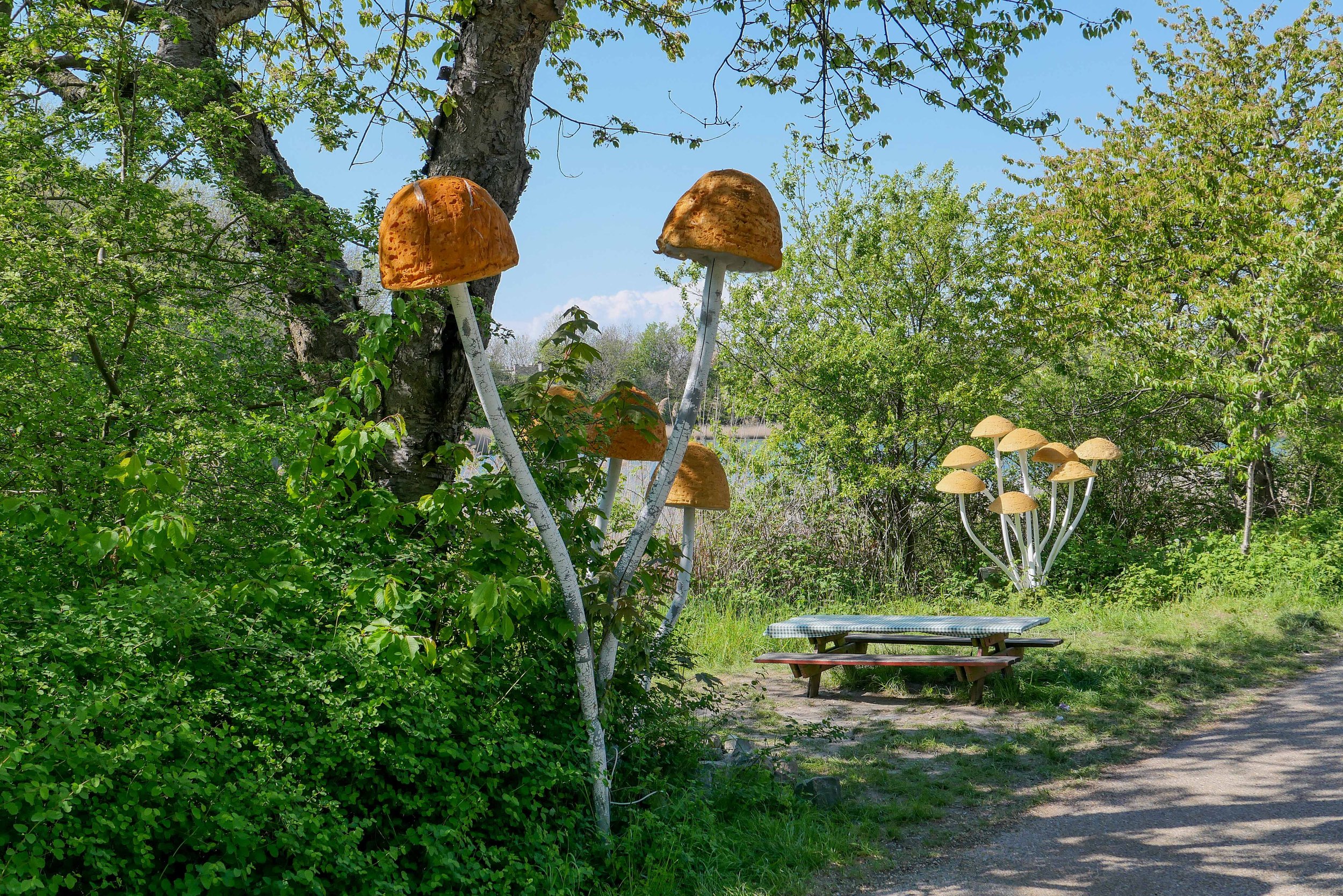
On Sunday afternoon I walked up to Refshaløen to see a new exhibition - Yet it Moves! - at Copenhagen Contemporary.

Door to door it’s about 2 miles or just over 3 kilometres.

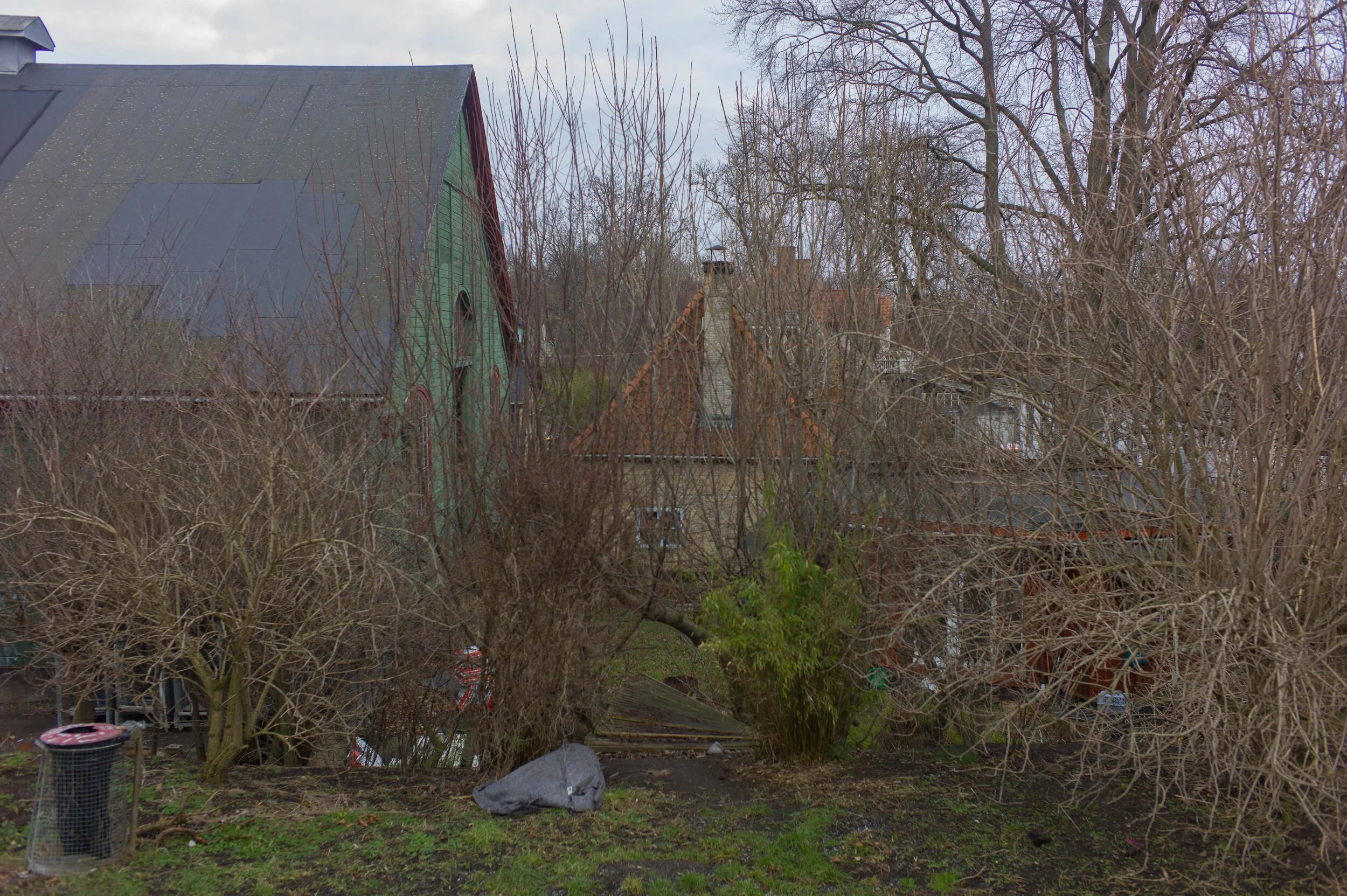
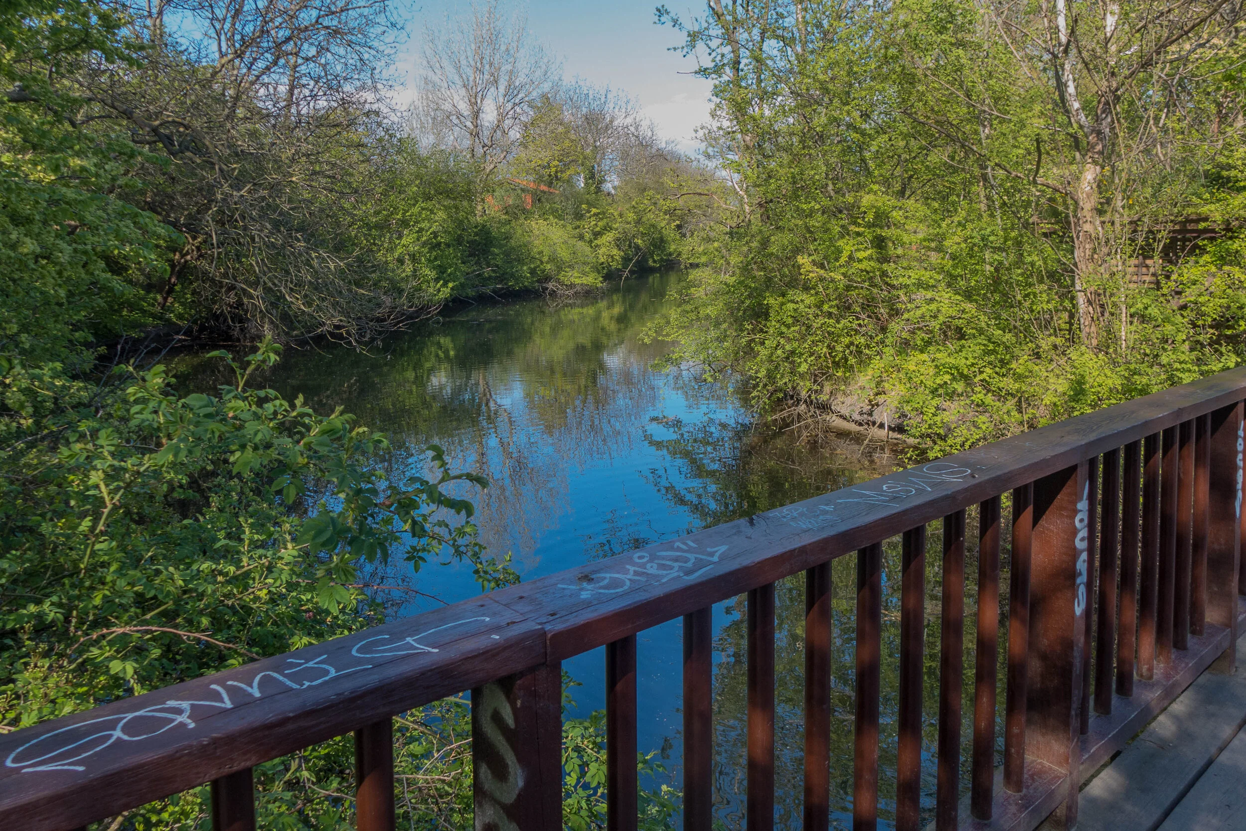
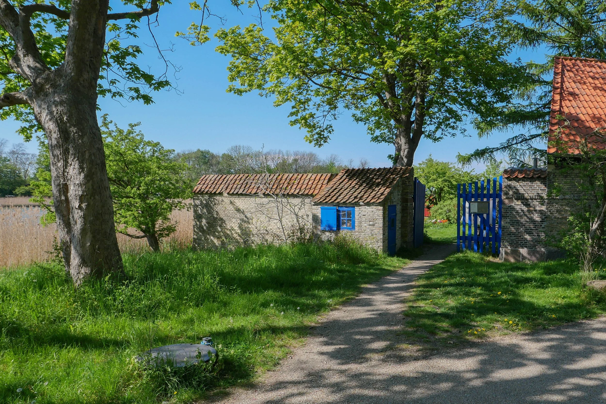
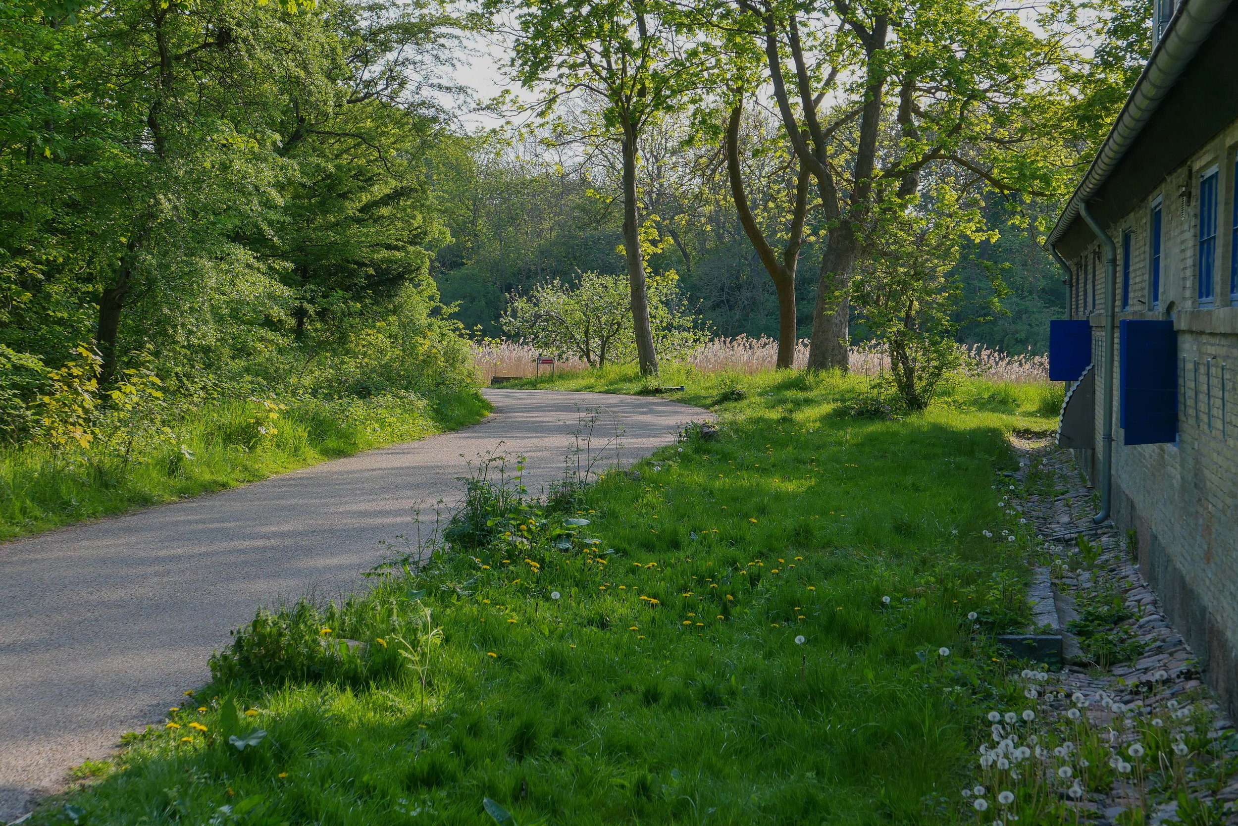
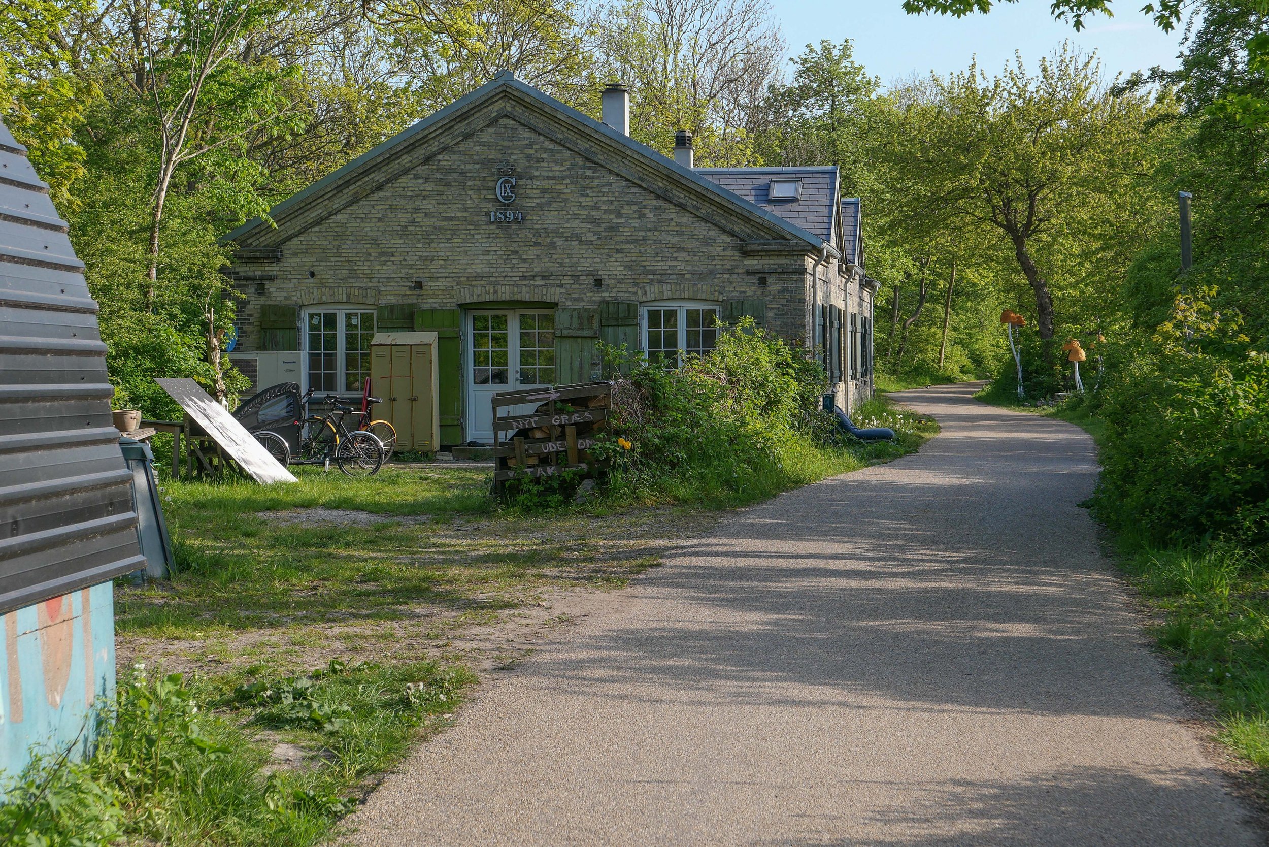
From my apartment I crossed over the open space of Kløvermarken and at the old outer defences, instead of crossing over Dyssebroen - the bridge to Christiania and the route I would take to get into the city - I headed north along Middyssen and Norddyssen and the line of four redans. This was the outer line of defences that were reinforced in the 19th century to protect an area of water outside the bastions of Christianshavns Vold that protected the part of the harbour where the large war ships of the Danish navy anchored when they were in Copenhagen.

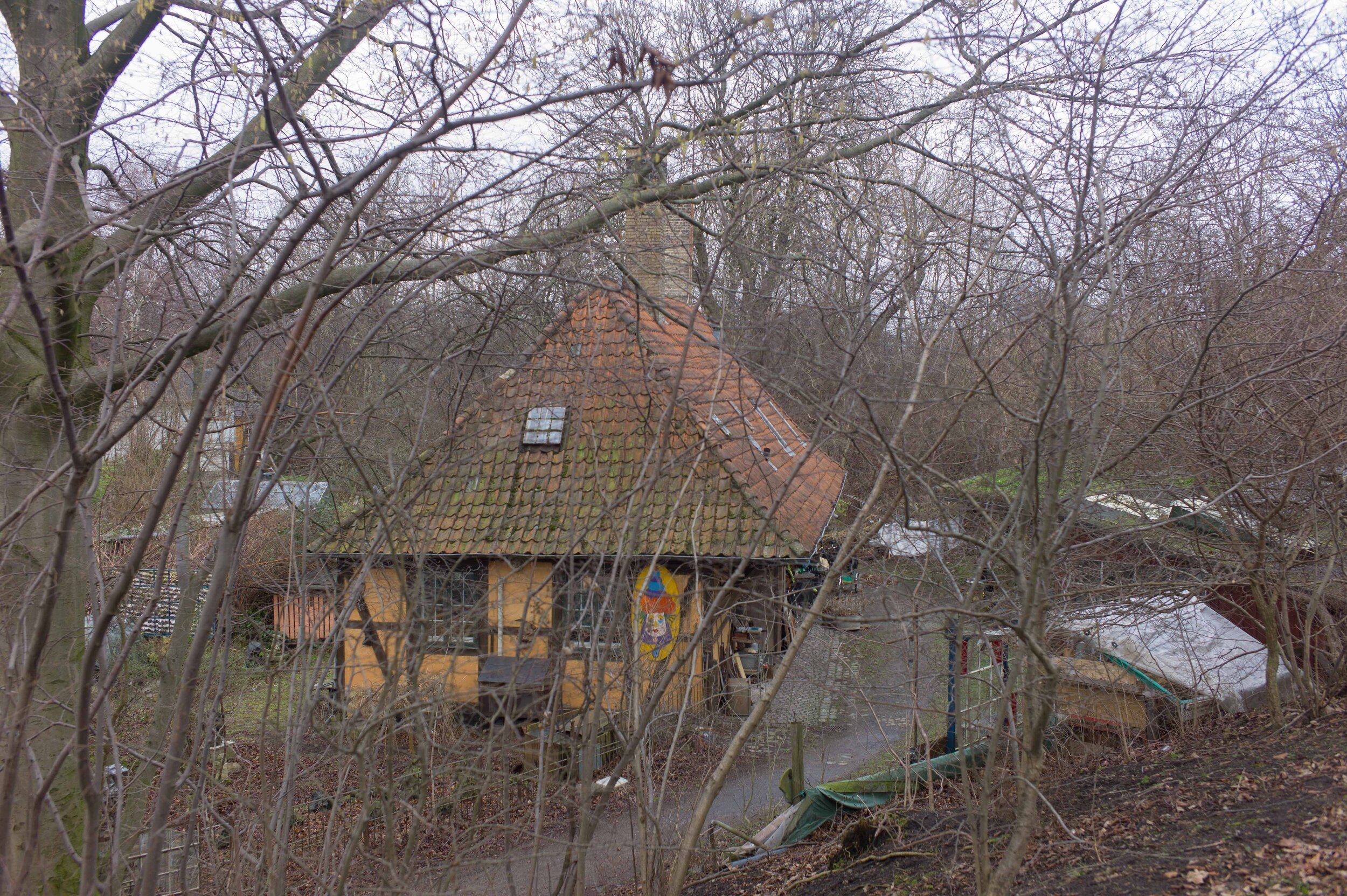
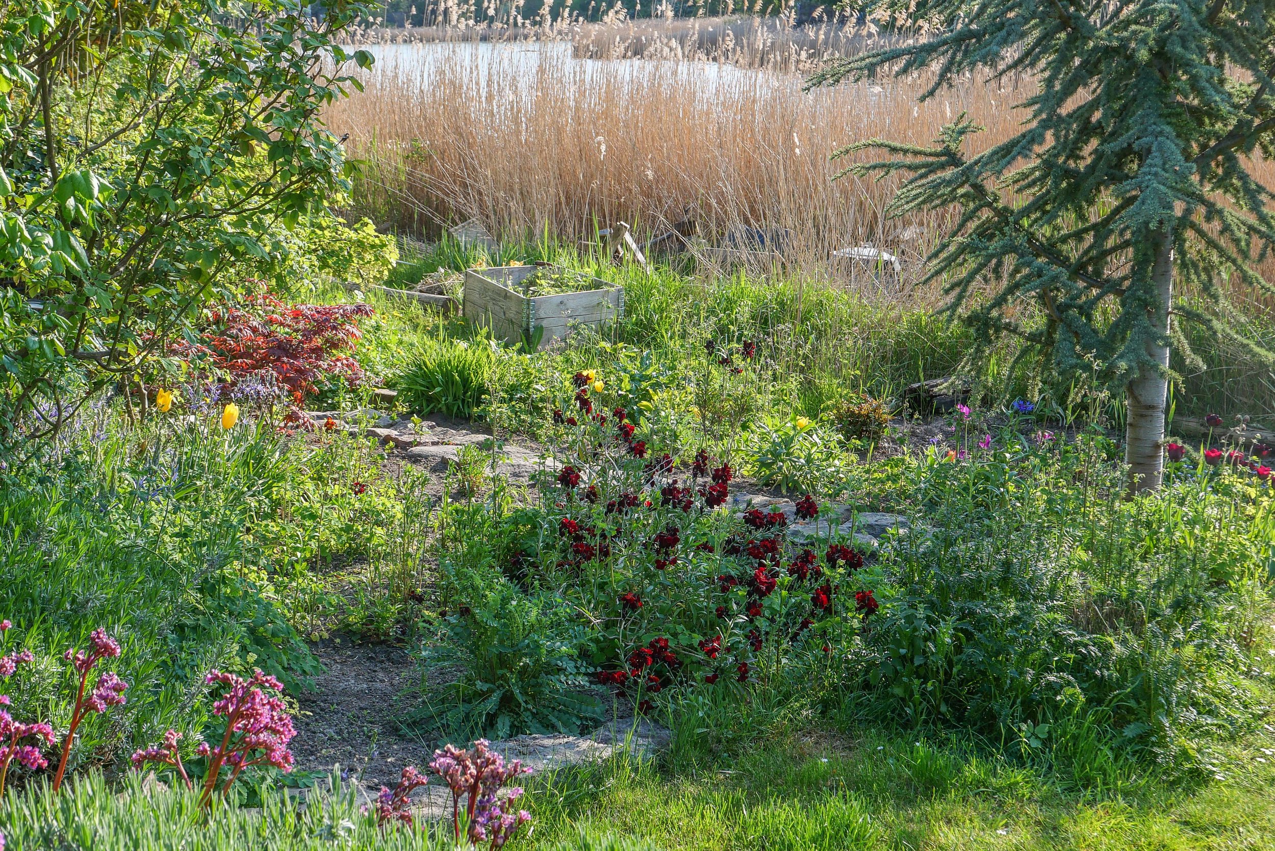
This outer defence is a narrow strip of land with a lane on the city side between the redans. These redans are triangular and have buildings surviving from the military fortifications. They project out so that from each there is not just a view out towards Amager, to see if attacking troops are on the move, but also give the defending soldiers a view each way along the outer face of the bank to give covering fire.

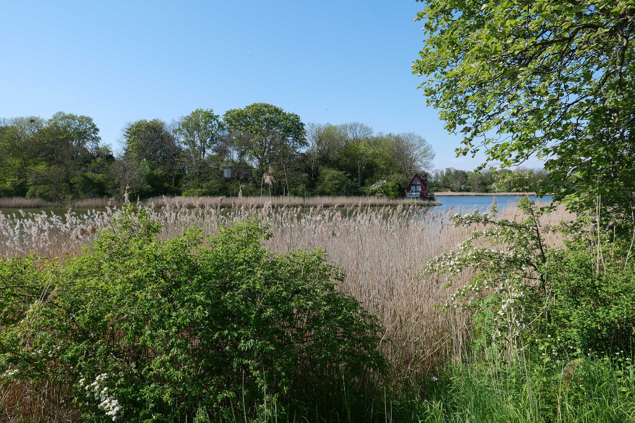
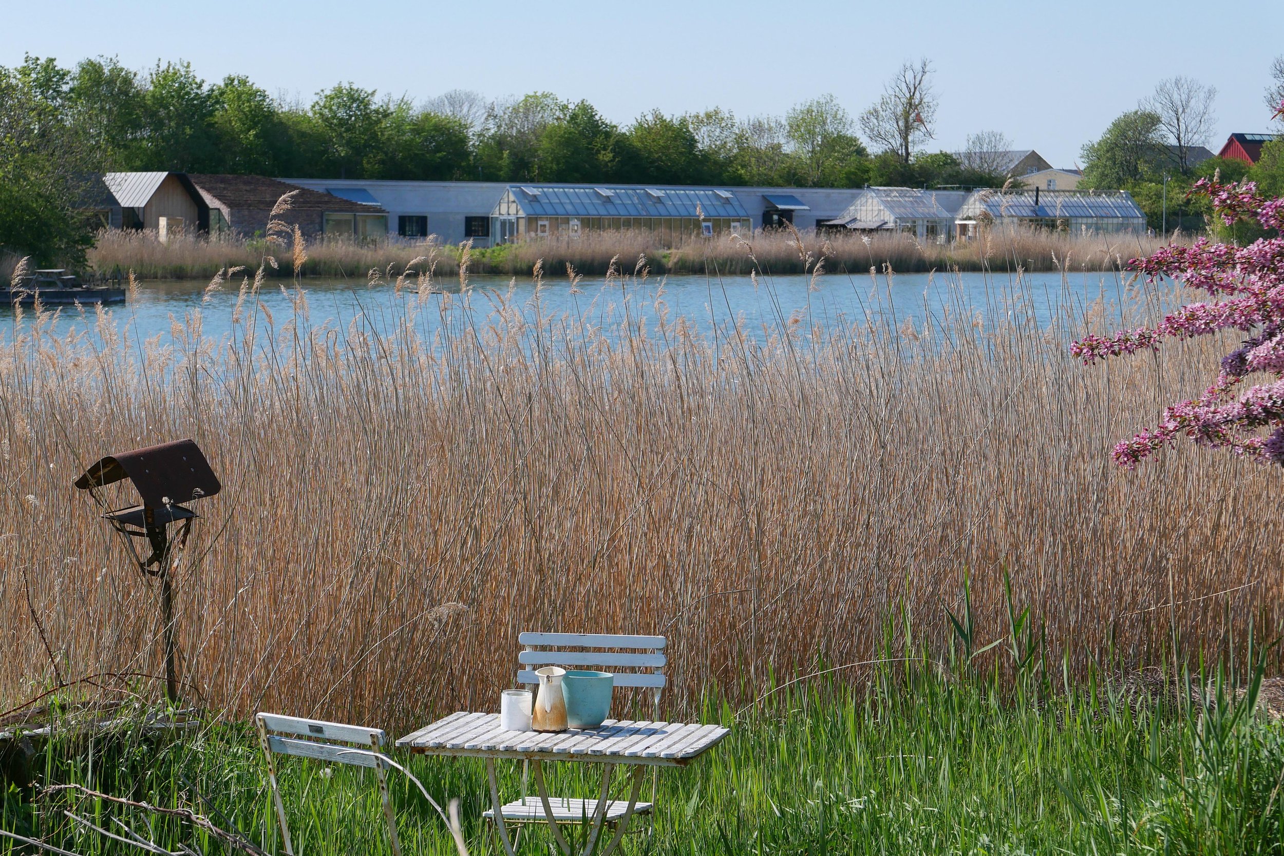
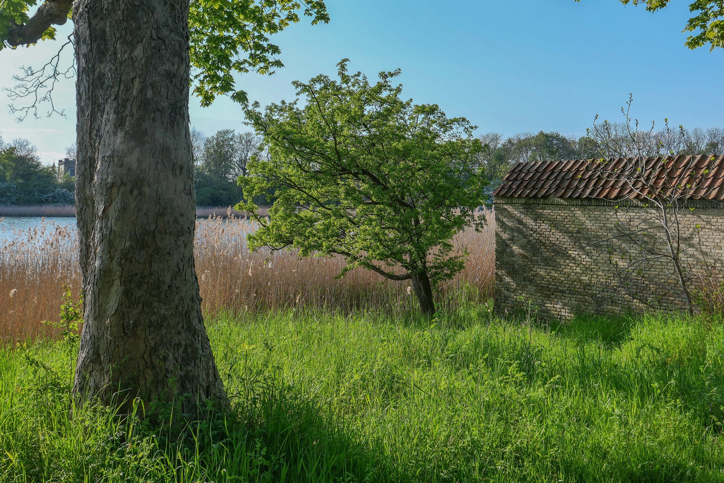
There is a wide stretch of water to the west, to the city side, with views of the bastions of Christianshavns Vold. Even though this is looking towards the centre of the city, about all you see across the water are reed beds and the trees on the banks and bastions with just a few low buildings including the group of green houses and outbuildings of the restaurant Noma.

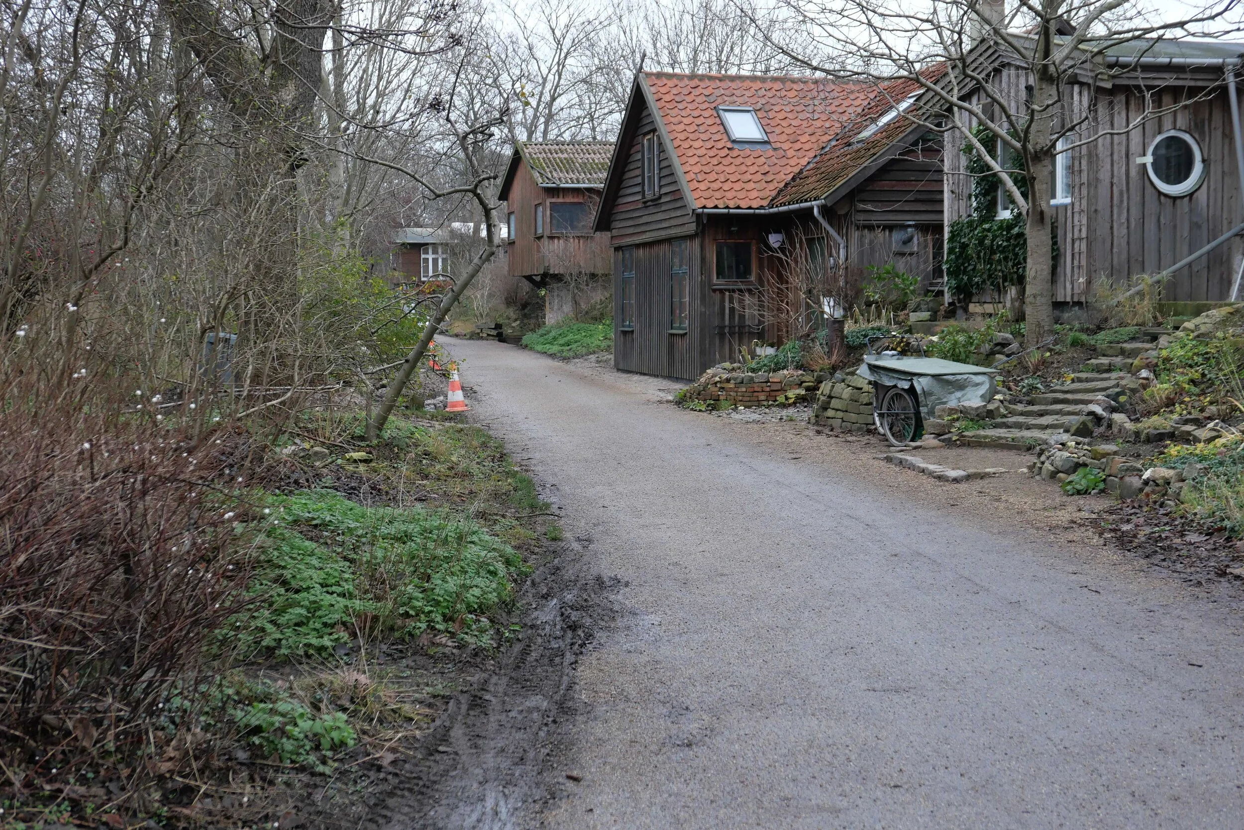
On the side of the lane away from the city there is a low bank, now covered with trees, but originally this provided cover for troops moving along the inner lane. On that outer side of the outer defence there is now a shallow stream that is all that is left of a wide stretch of marsh and shallow water between the defences and the original shore of Amager.

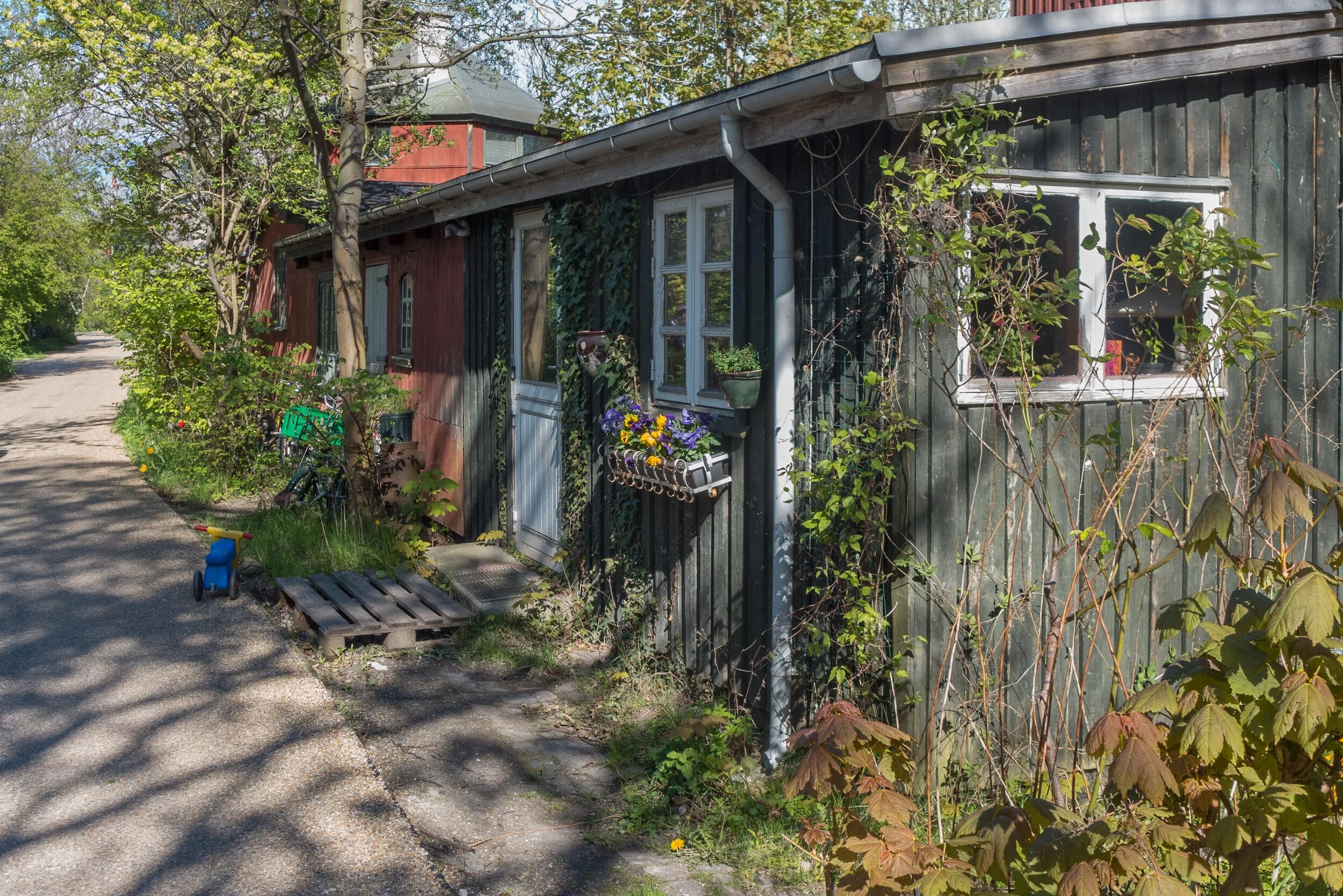
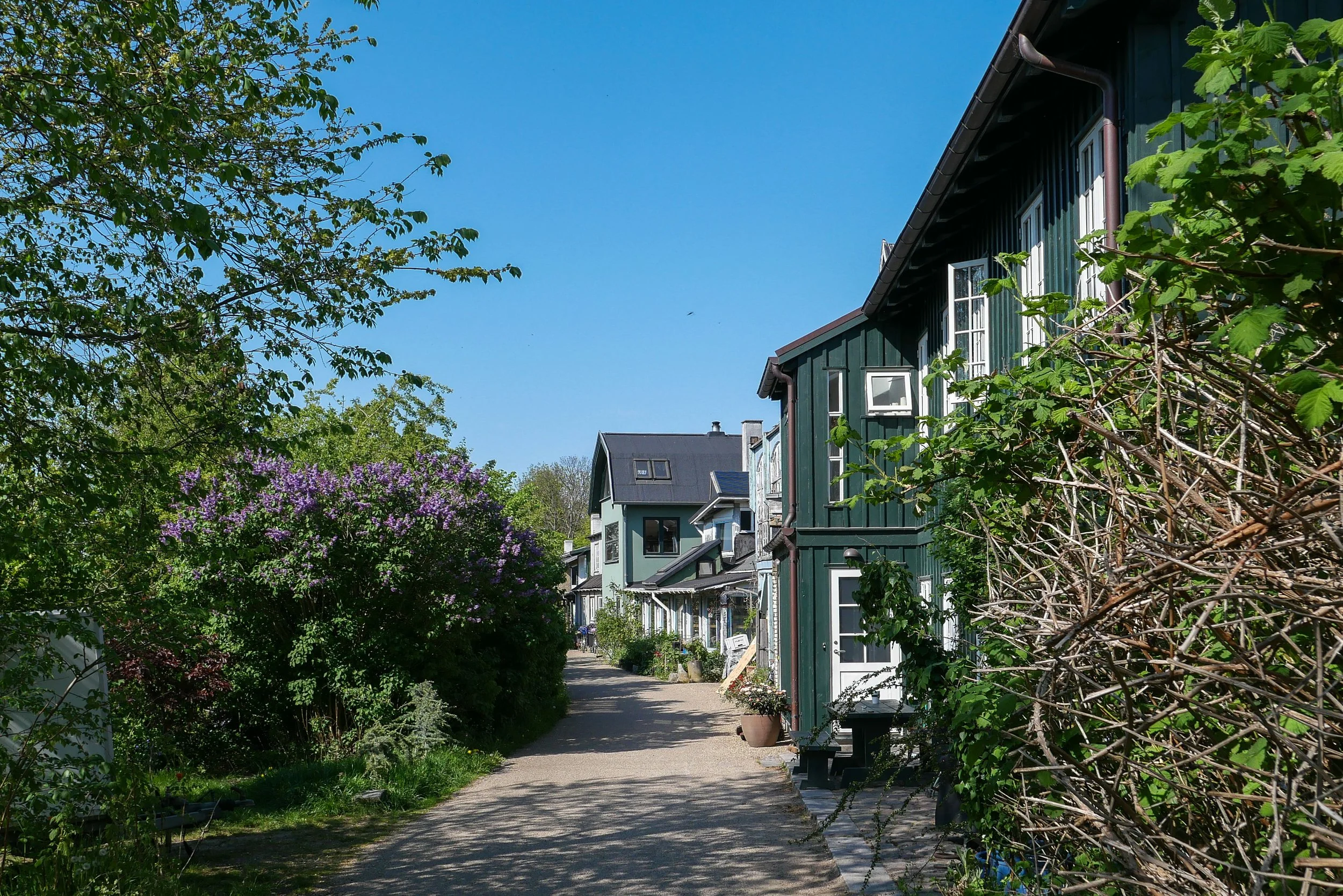
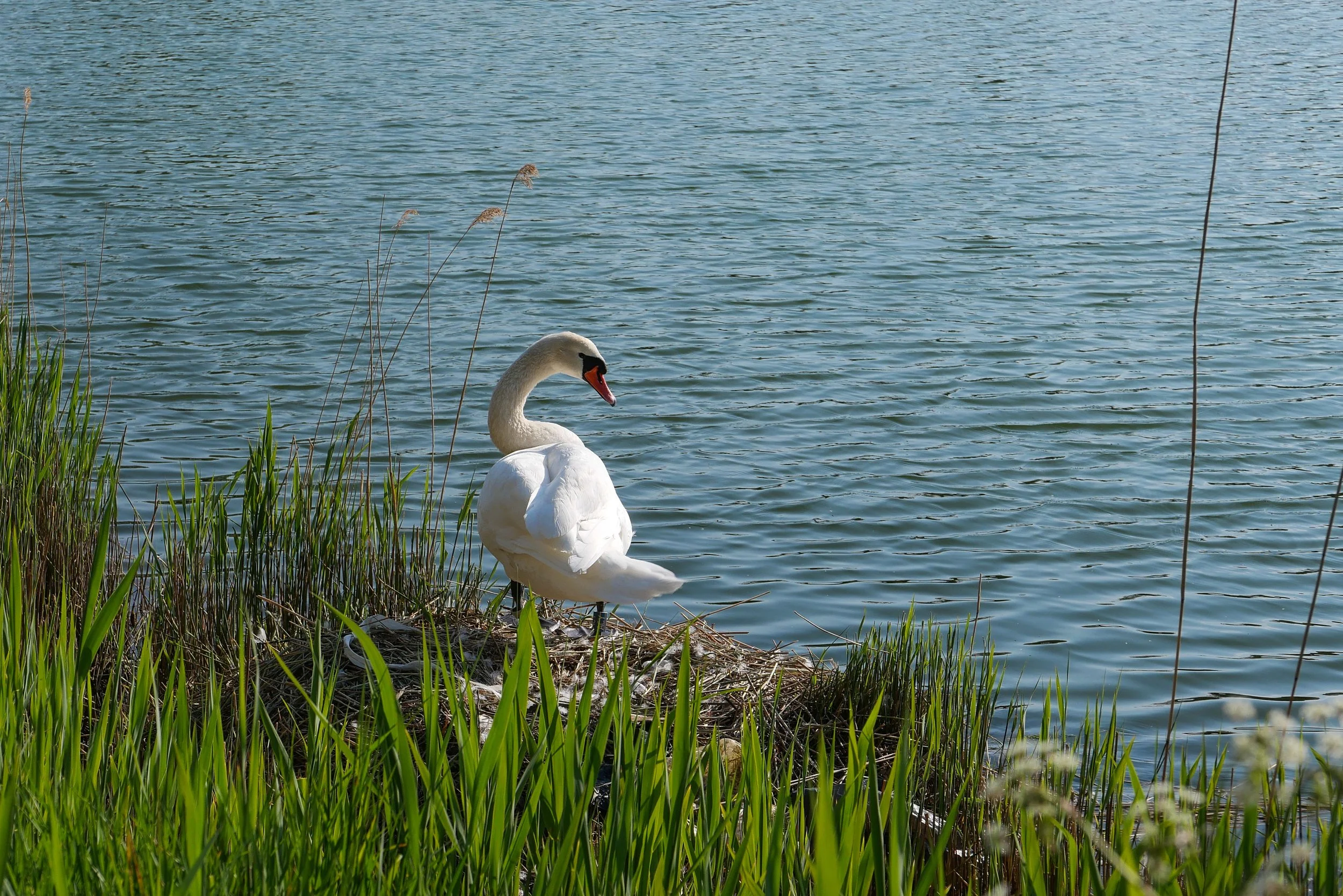
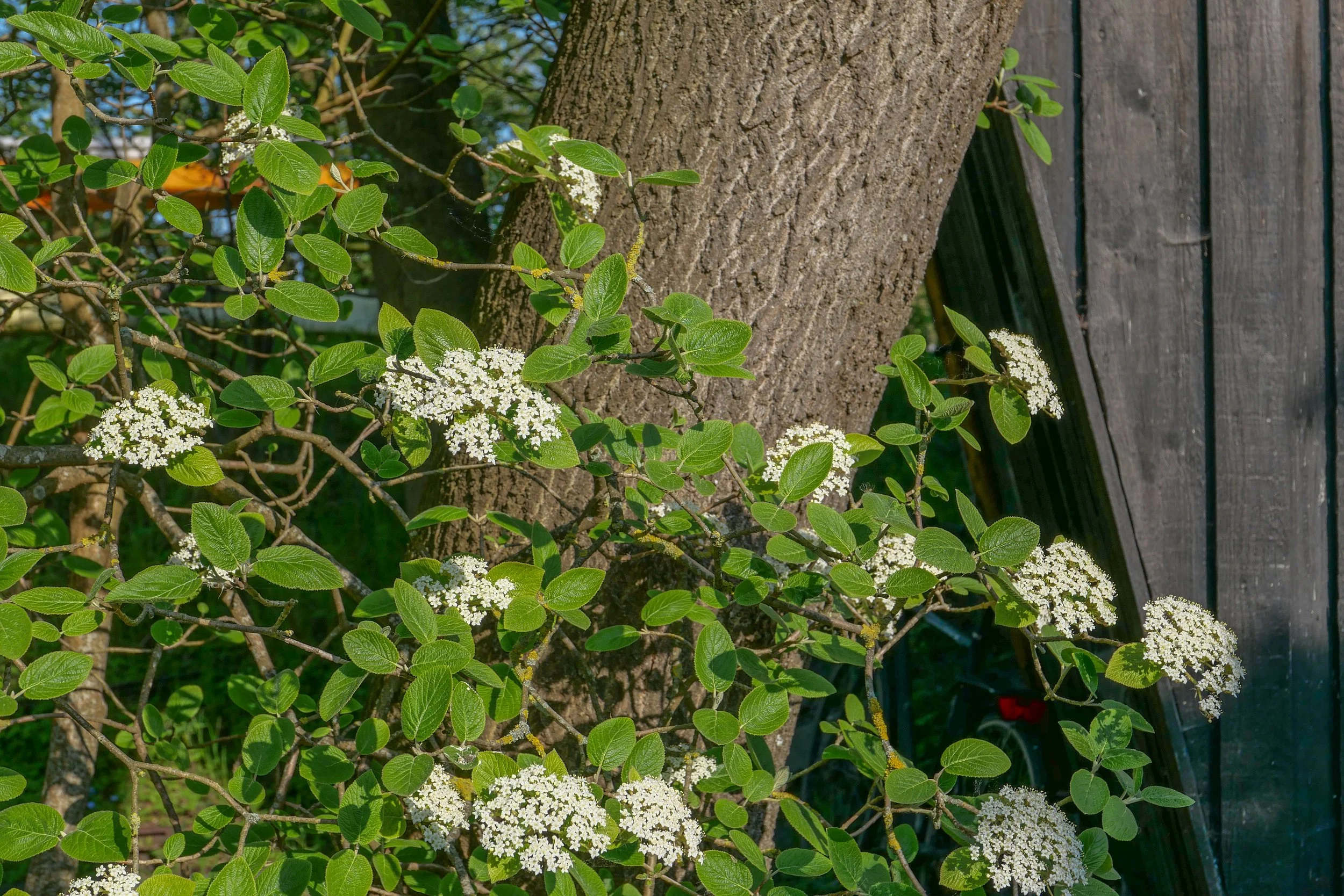
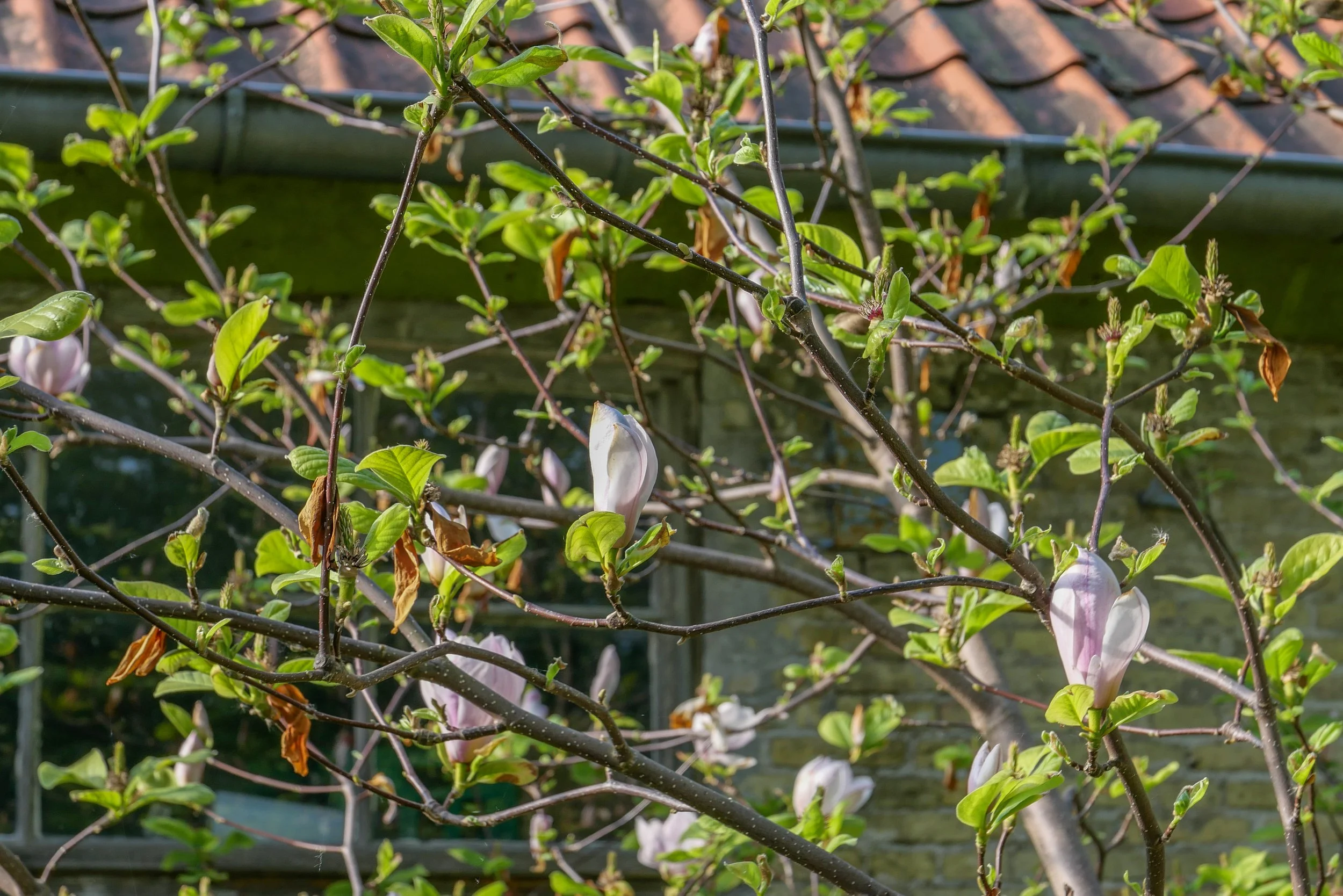
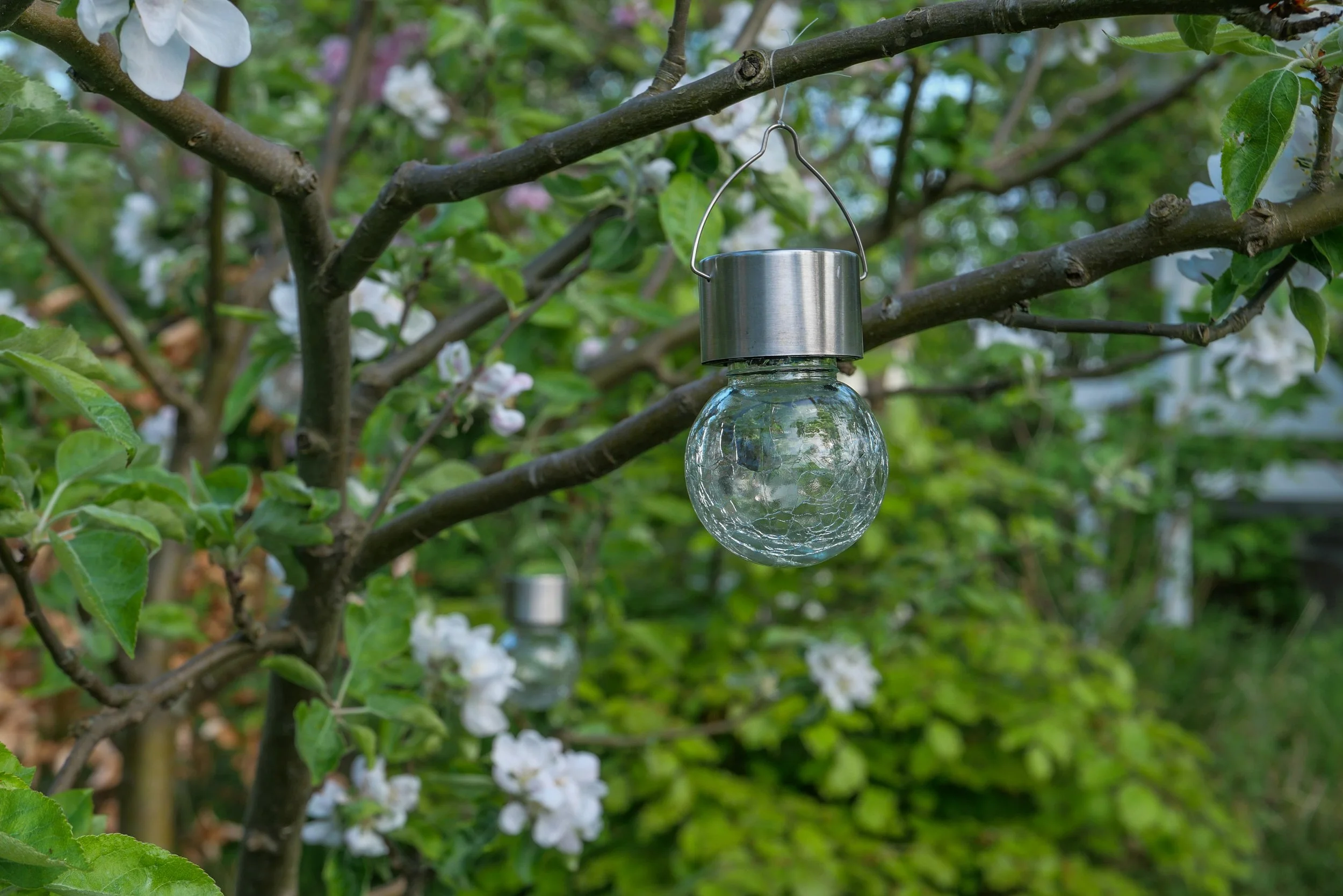
This is not nature in the raw but dense planting includes mature trees and good growths of shrubs including decorative species like magnolia and lilac. Small gardens have been established by the families living here and the wide stretch of water has extensive reed beds along the shallow water of the shore and it is a haven for water fowl.

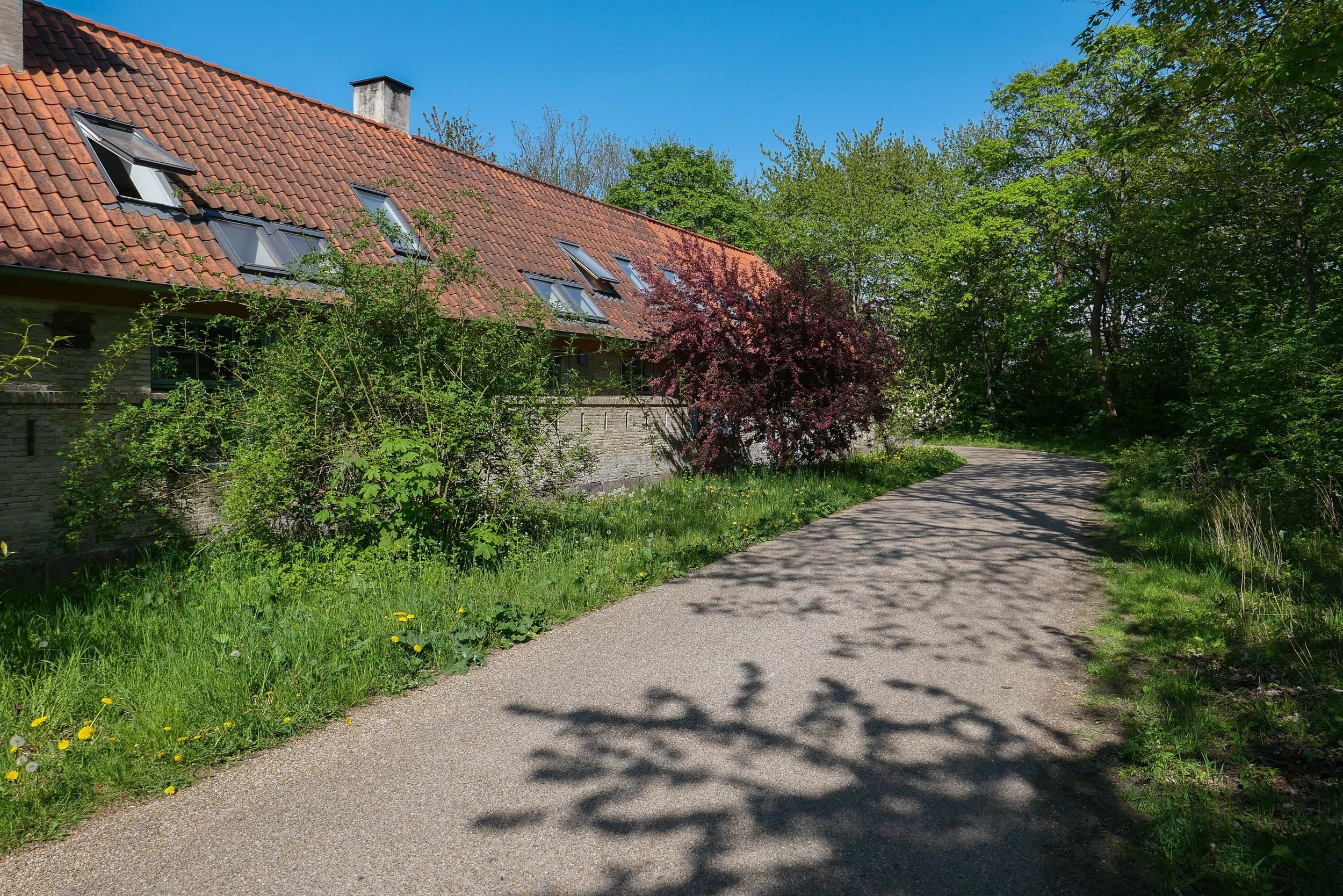
Houses along the lane are part of the settlement of Christiania and were built with salvaged and reused materials and well before most people even considered that rampant redevelopment in concrete and steel could possibly be a problem.

I said walk but it was more like a slow saunter taking photographs as and when.
I saw the exhibition at Copenhagen Contemporary and then headed back as the light softened. The photos above are shown simply in the sequence I took them.
Every time I do this walk, I appreciate that this is an amazing part of the city because here I am not out on some distant country lane but just a kilometre or so from the centre of Copenhagen.

Platform C - Syddyssen by Fokstrot

Dyssebroen … the bridge from Christiania to the outer bank of the defences
on the far side of the bridge, syddysen is the lane to the right and middyssen is the lane to the left

① Kløvermarken
② Dyssebroen
③ Øens Have
④ Copenhagen Contemporary

Christiania at fifty

the main entrance into Christiania

If visitors to the city know about Christiania, then it is usually because they have heard of Pusher Street but the history of the old barracks here - the buildings that were occupied fifty years ago - and the topography of this area - between the old city and the island of Amager - and, of course, the subsequent history of the community here is so much more interesting than the drug trade.

From the 1830s through to the 1970s this part of the city, close to Christianshavn and immediately south of the naval dock yards, was a major military establishment for the artillery.

Called Bådsmandsstrædes Kaserne, there were barracks; training grounds; stables for the horses that pulled gun carriages; a large riding hall and workshops for producing weapons for the artillery as well as  stores for supplies; weapons and gunpowder.

When the army moved out in the Spring of 1971, local people broke down the boundary wall, at first to make use of open space here as a play area for children who lived in the densely-packed housing of Christianshavn but then people realised they could occupy and make use of the buildings and on 26 September 1971 the settlement of Christiania was declared to be a free and independent town ... free of the laws and regulations of not just the city but also free of the laws of the state.

Back then, politicians and the police must have believed that this new community would survive for weeks or, at most but, fifty years later, Christiania is still here.

Sitting just inside the south entrance to Christiania, is the giant figure of Green George that was created from scrap wood in 2019 by the Copenhagen artist Thomas Dambo
the mural behind was painted by Rasmus Balstrøm.


graffiti and posters are important in the art work produced in the settlement …. here (above) on the outer wall of one of the main buildings that faces directly onto Prinsessegade and (below) on the boundary wall further north along Prinsessegade on the side of the boundary fence that faces out to the road

Christiania is not just the area within the former barracks but it extends north along the outer defences so encloses a large and important green area of the city.

The old buildings along the defences include stable blocks and gunpowder stores but also a number of self-built houses. There is public access to the lanes down the inner line of bastions and down the outer defence and it is a popular route for people walking between the city and Refshaleøen.

The main area of Christiania is remarkably close to the centre of the city and would be extremely valuable if redeveloped so there are occasionally rumours that the area is to be be cleared for social housing to be built here.