By coincidence, thinking about this post, I came across a fascinating article on line by Colin Marshall on the Open Culture site from June of this year. He wrote there about 136 maps of major cities across the world produced for a project called Locals and Tourists and published in a larger project The Geotaggers’ World Atlas, by Eric Fisher who has used MapBox, Twitter and data from Gnip to plot photographs taken of cities that have been uploaded to the internet.
The central area of the Copenhagen map is reproduced here with red indicating photographs that appear to have been taken by tourists while blue are images that are probably by local people - determined primarily because they are Tweeting from the same location for at least a month - and yellow could be either.
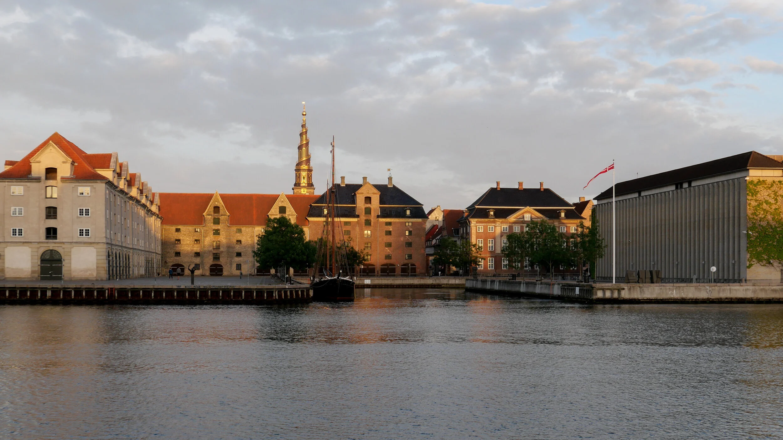
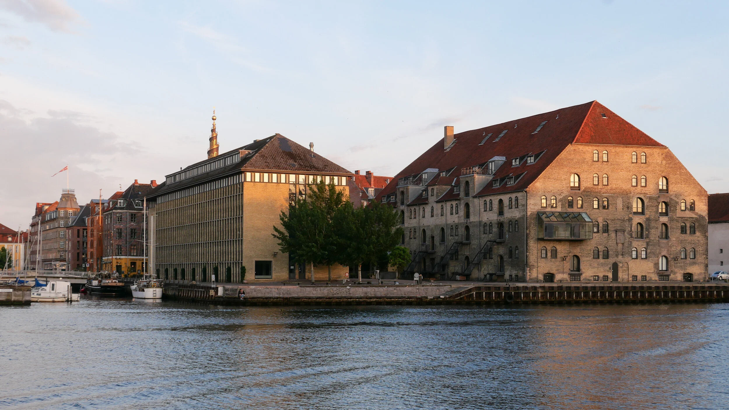
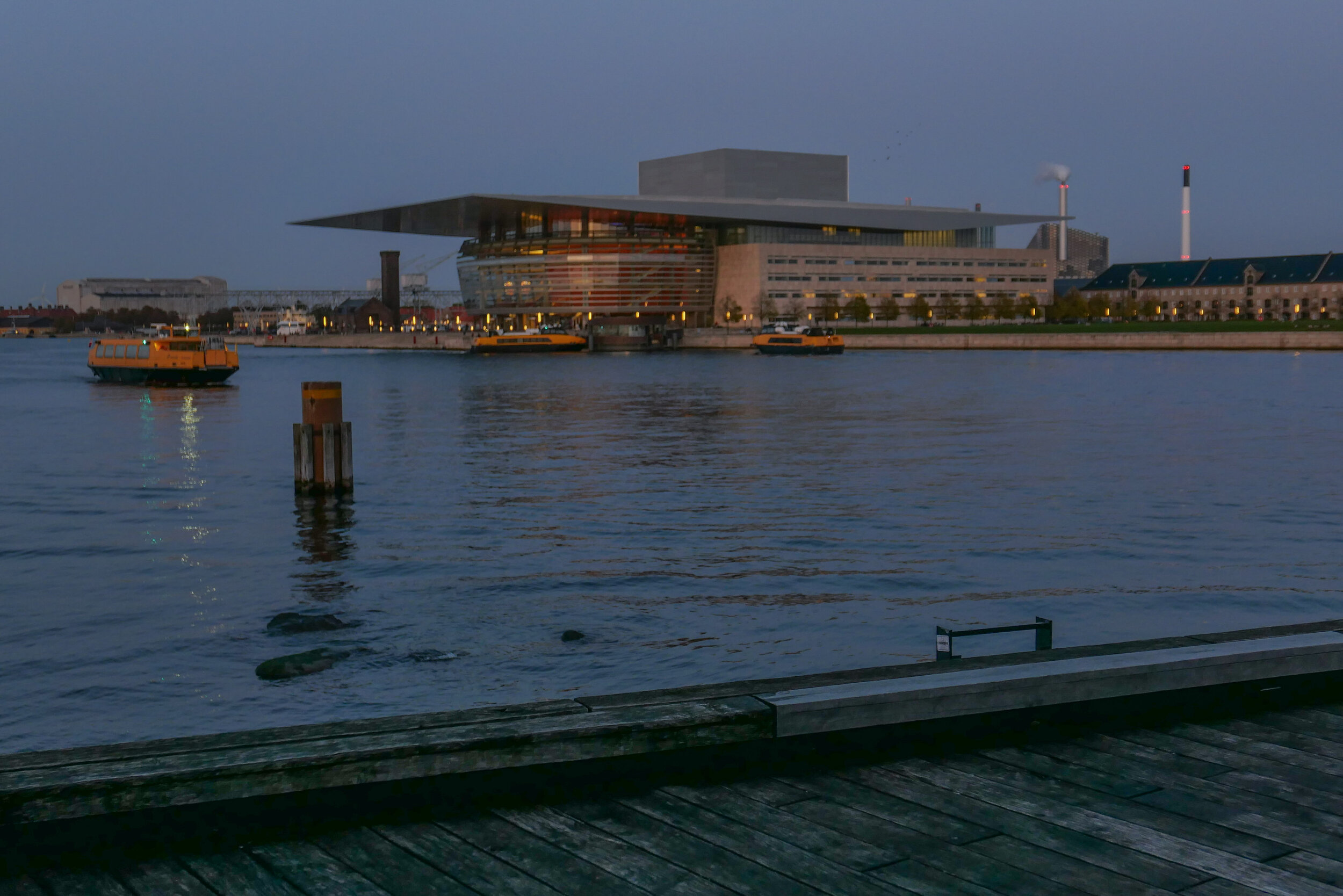
When data is presented in this way, it is easy to see the densely-packed areas where most photographs were taken with Nyhavn - the long rectangle at the centre of the map that extends up to large blob that marks Kongens Nytorv - the large public square at the city end of the New Harbour - and just above that there is the distinct shape of the royal palace with the circle of the main square and long narrow strips running out to the right to the harbour in one direction and to the Marble Church in the other. The large public square in front of city hall and, nearby, Tivoli are the densely-packed but slightly more scattered areas of red on the left side of the city centre.
Roads can be picked out clearly and give a framework for location and one interesting feature of the complete map, right, that shows the wider area around the city, is the long narrow line of yellow that is the railway bridge across to Malmö with good and photogenic views of the sound.
The data was collected in 2013 but more recent published data from 2017 corroborates the general conclusions. In that year, there were around 7 million visitors to the city and more than 60% included Nyhavn in their trip so, by rough calculation, that suggests that the number of visitors walking up and down Nyhavn in a year was equal, approximately, to the total population of the country.
With the opening of a new bridge from the end of Nyhavn for cyclists and pedestrians to cross the harbour to Christianshavn, Nyhavn has become not just a destination but also a major route. Shops close to the harbour on the west side of Nyhavn have seen a marked and welcome increase in business and for several shops it has meant the difference between declining trade and the possibility of a failing business before the bridge opened and surviving now.
But an article in Politiken by Søren Astrup in September 2017 pointed out that, even at that early stage, not long after the bridge opened, there was an obvious problem with the possibility for accidents as tourists, looking at maps or at the view or busy chatting came into contact with fast moving bike traffic. Planners are responsible for road markings and barriers and some changes have been made, particularly at the bottom of the bridge on the city side, but tourists also have a responsibility and have to learn to be more aware.
This is particularly true of the green man system at traffic lights that in too many cities seem to be treated as respect-it-or-ingnore-it advice rather than as an instruction but, because biking is taken seriously here, many cyclists are heading to or from work, can be in a hurry, and many cycle long distances so when you get up momentum (speed) you do not appreciate a tourist sauntering into the bike lane to take a better photo or stepping out onto a crossing because it sounds clear …. ie they can’t hear a car so step out without looking.
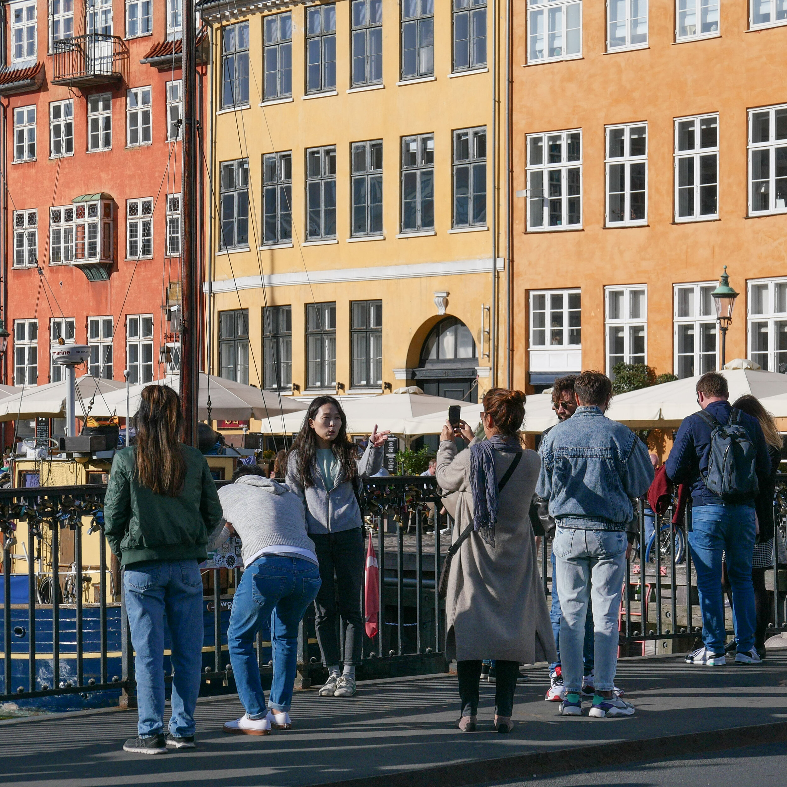
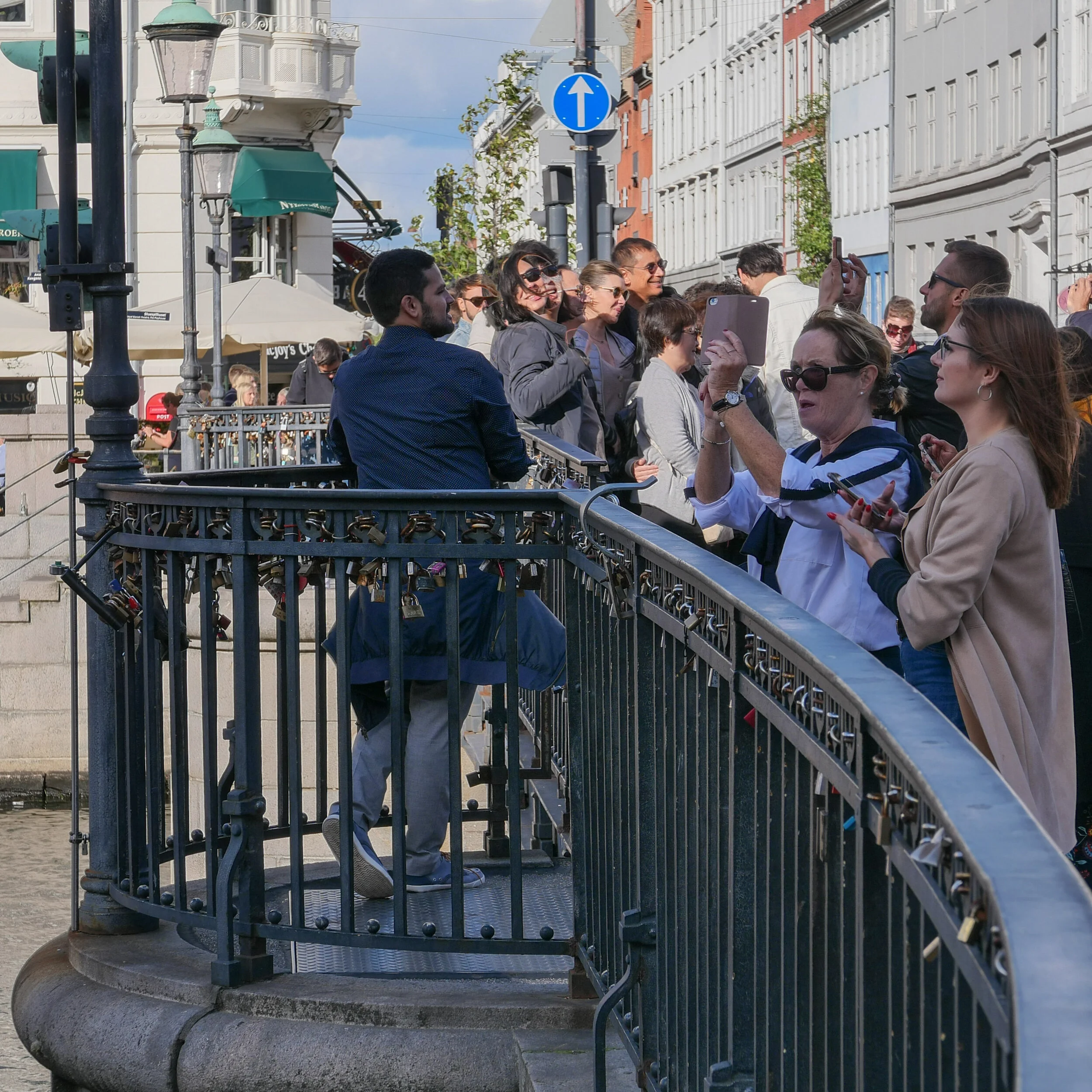
The real problem in Nyhavn is people taking photographs and particularly selfies. Most tourists would say well that is pretty harmless and surely it doesn’t hurt locals to wait just a few seconds while they get that perfect shot.
But I’m much less tolerant of selfies now I have actually moved to an apartment on Nyhavn.
I have deliberately changed my behaviour to walk down the shady side when possible, although I live on the sunny side, simply because there are slightly less people taking photos. It may be your once in a life time shot but for me, heading to the metro, it may well be the ninth or tenth time I’ve had to walk out into the road in just over 100 metres to get around a selfish-selfie taker.
Do people taking selfies realise just how much space they take up on a narrow or crowded path with or without a selfie stick?