another scheme for the cinema site

Another scheme has been submitted for the site of the Palads Teatret in Copenhagen.

This design, from the Bjarke Ingels Group, has a series of massive blocks that are stacked up but offset to follow the curve of the railway and of Hammerichsgade that together mark the west side of the site.

At the lower south end is what looks like an open amphitheatre that would step back and up from street level but it would face what is now a very busy road and would look across to a less-than-attractive block at the back of the Axelborg building.

At the north end of the proposed complex, these blocks would be stacked so high as to be as tall or taller than the tower of the SAS Royal Hotel nearby so - like the other scheme for a series of tower blocks bridging the trench of the railway - it would throw a deep shadow over streets and buildings to the west and north and would certainly dominate and interrupt the skyline from many parts of the historic city centre. Is the design really that good to be that intrusive?

The design of the exterior appears to be a stripped-down, simple and open white framework - a relatively elegant variation on international modern - but it could be anywhere - so it hardly seems to be site specific, apart from the curve, and, if it could be anywhere, then why not anywhere but here?

And there could be 12 cinema spaces within the building although that is hardly obvious from the exterior but then that is hardly surprising because the cinemas will be in the basement to free up valuable rental space where tenants will pay for their views out.

There is that overworked phrase about form following function in good design but it is still useful when turned the other way round because, in many situations, buildings are better when their function is reflected in their form. Cinemas now, since the arrival of the multiplex, are smaller and, in any case, cinemas, from their very function, have little relationship to the world outside once you are inside - detachment from the real world, some would argue, is a crucial part of going to the cinema - but this looks like an office block paying little more than lip service to being an entertainment complex.

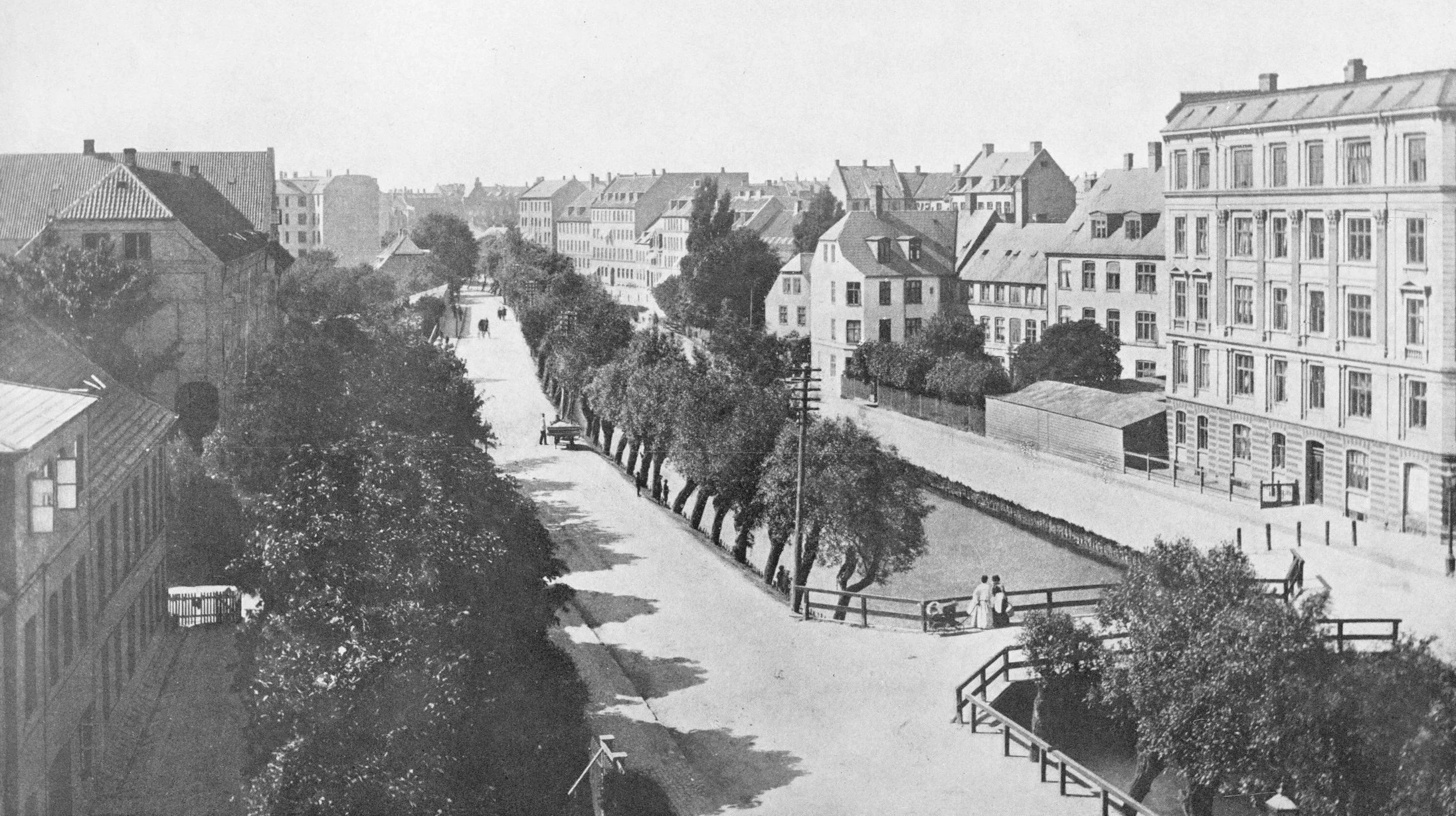
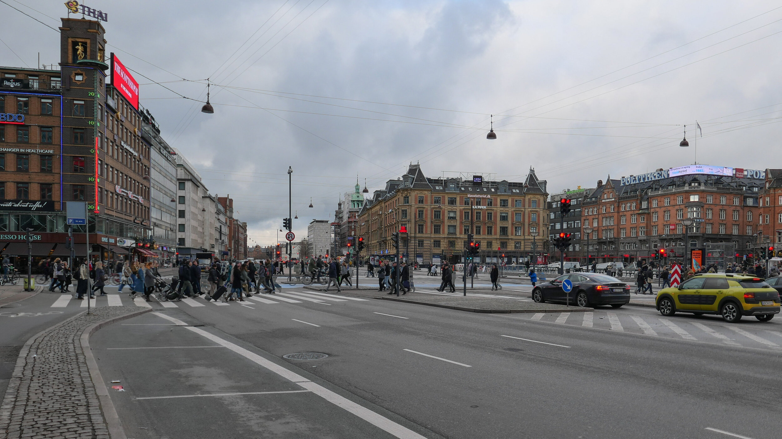
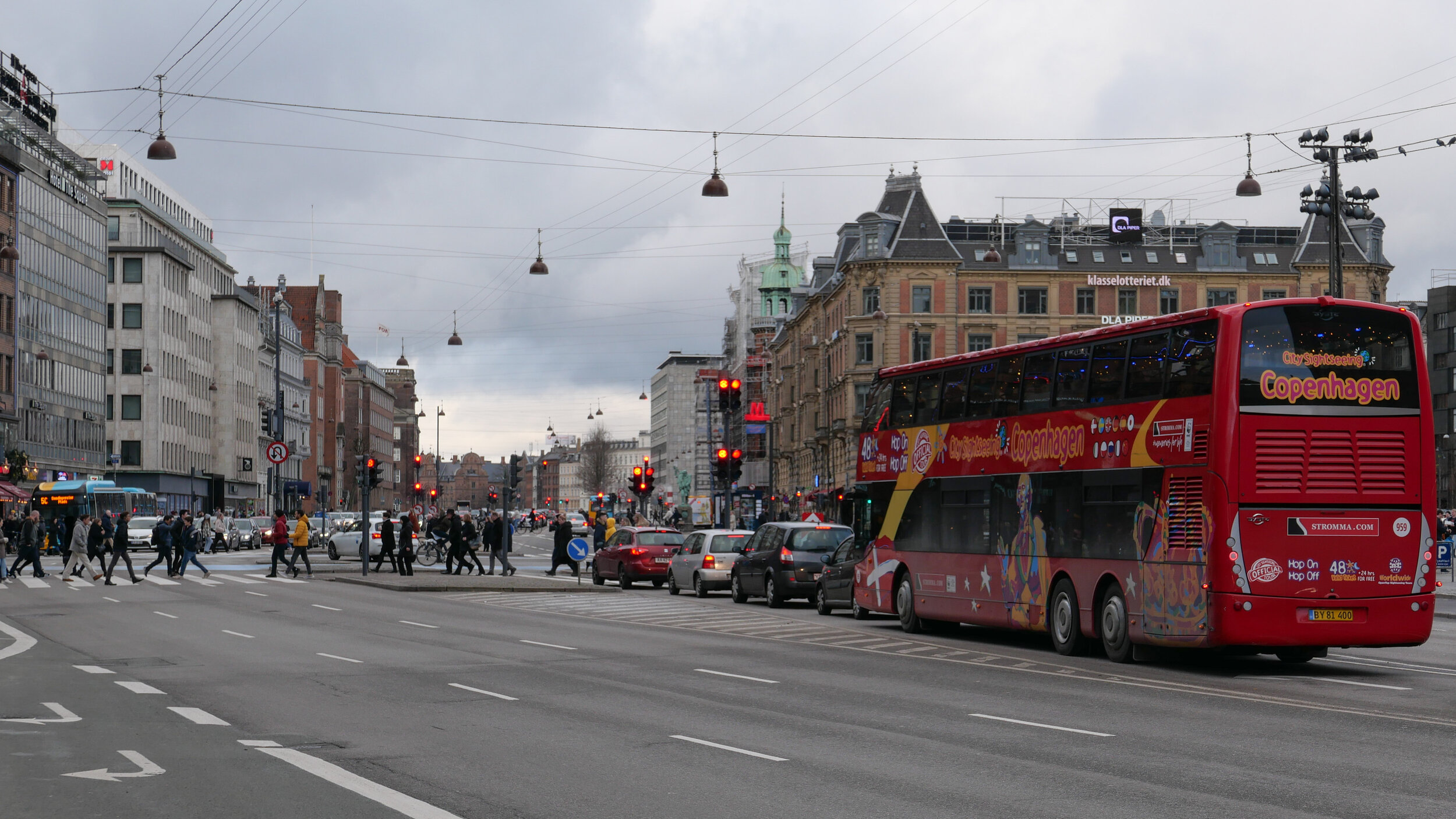
In some locations this would not matter but here, just west of the city hall, the commercial life of the city has always existed alongside major venues for popular entertainment so this is or should be downtown offices alongside Times Square night life where the city made its money and spent it.

National Scala, a complex of restaurants and tea rooms and concert halls - the building that was on the site of what is now Axel Torv - closed in the 1950s but the amazing Cirkus building from 1886 survives across the square from the cinema site and, of course, Tivoli is just a block away.

Redevelopment of this site should be a reason for trying to not only revitalise the area but also to pull it together in a coherent way but, in the design shown here, this building would completely dominate the view from the entrance gates of the Tivoli gardens.

Surely there has to be a comprehensive development plan for this important but now rather vulnerable part of the city, that should re-establish the links between the fragmented areas of public space and should set parameters for what new buildings can or should be allowed, because each of the recent developments have gone their own way and that has meant destruction by an unrelenting attrition from developers.


what would be the view of the development from the entrance of Tivoli


the dotted line is the building line of Hammerichsgade extended across the trench of the railway tracks …. the one advantage of the other scheme - the development that would construct blocks across the trench - had this line as the back edge of a new public square with the 1930s building of the Vesterport suburban station at the centre and with all the new tower blocks in the wedge between that line and the Vandværksviadukten but with one large building beyond the viaduct.

the scheme from BIG respects the curve of Hammerichsgade on the west side but leaves a series of odd triangular spaces against the pavement - so undermining the line of the curve - and makes the line of Ved Vesterport the alignment of the entrance

will Lynetteholm be constructed further out into the sound?

As yet, there has been no final decision on consent for a major proposal to construct a man-made island across the main entrance to the harbour although they have got as far as calling the island Lynetteholm.

With extensive new areas of housing - comparable in some ways to the work at Nordhavn - it would be immediately beyond Trekroner / The Triangular Fort  and would be constructed across a deep and well-established navigation channel that is the entrance to the harbour from the sound.

If the island is constructed there would be just narrow passageways from the harbour to the open sea between the new island and Refshaleøen and between the island and Nordhavn and it would certainly block the view out from the harbour to the open water of the sound and certainly change the character of the harbour.

Dan Hasløv, in a recent article, published on line on the site of Magasinet KBH, has proposed an alternative site further south and further out in Middelgrunden - an area of shallower water - and there would be a wide channel between Refshaleøen and the new island.

One important role for the new island is to protect the inner harbour from storm surges but this would still be possible with barriers across to the fort from each side.

The current proposal includes road tunnels and metro tunnels to link the new island to Nordhavn and to Amager with the possibility of extending the metro under the sound to Malmö and again all that would still be feasible if the new man-made island is further round to the south but could also reduce the impact of a major new road down the east side of Amager that is part of the current proposal that would link Nordhavn to the Øresund bridge.

earlier post on Lynetteholm

the most recent scheme proposed by BY&HAVN
Flyt Lynetteholm til Middelgrunden og bevar kontakten til havet.

Dan Hasløv, Magasinet KBH 25 March 2020

view out from Nordhavn looking east to the sound from Fortkaj …. the Triangular Fort and the north edge of Reshaleøen are in the distance to the right
this view out to the open sound would be lost if the island is constructed across the entrance to the harbour


detail of chart from 1885

the most-recent version of the scheme from BY&HAVN

traffic on HC Andersens Boulevard

One of the paintings in the current exhibition at the Museum of Copenhagen about the work of Paul Fischer is his view of HC Andersens Boulevard looking north towards the city hall from just before Dantes Plads on the right with the distinct building of what was then the new Ny Carlsberg Glyptotek on the left.

The first impression is that this must be a romanticised or highly edited view with people just sauntering across the boulevard but Fischer used his own photographs of the streets and squares in the city to compose what he painted and seems, generally, to have painted what he photographed.

So comparing the painting with a photograph taken last week you can see just how much space we have sacrificed to the car and just how much clutter there is with street signs and road markings.

When Fischer painted HC Andersens Boulevard there were trams running into the city hall square and out along Vesterbrogade and by then the railway line from the central station to Østerport had been constructed and suburban lines were being opened so public transport was well established.

Part of the problem with the Boulevard now is not just that there are three lanes of traffic between the lakes and the bridge over the harbour that run across the west side of the main city hall square but the traffic is unrelenting and although there are traffic signals - where pedestrians cross over - the traffic then sprints on to the next crossing so there can be noise and heavy fumes. The road has also taken over more and more of the width to allow for feeder lanes and particularly where vehicles back up before the lights waiting for them to change to let them cross over the traffic coming in the opposite direction.

One simple solution would be to drop the overall speed limit. This would not make it slower for the overall journey but simply control the cars racing to try and beat the next lights. It should also be possible at some junctions to stop traffic turning left, to cross over oncoming vehicles, by making cars turn right and then go round three sides of a block before crossing straight over at the junction where otherwise they would have turned left. Then, perhaps, some of the feeder lanes and the parking lanes could be taken over for wider pavements and more trees.

Paul Fischer exhibition at the Museum of Copenhagen

painting of HC Andersens Boulevard that is currently in the exhibition at the Museum of Copenhagen about the work of Paul Fischer and the same view photographed last week


HC Andersens Boulevard runs across the west (in this view the right) side of the city hall square with the Tivoli Gardens and then Ny Carlsberg Glyptotek before the harbour and Langebro. This aerial view shows just how much of the overall width - 50 metres from building front to building front - is tarmac and shows the chicanes at each junction.

When the square in front of the city hall was laid out and when these major buildings were constructed around 1900, Vester Voldgade on the east (left) side of the city hall was initially the main route down to the harbour and it follows the line of the road that was inside the city defences before the banks and outer ditches were removed in the late 19th century.

The original Langebro was at the end of Vester Voldgade and crossed to Christianshavn inside the defences on the line and angle that is now taken by Lille Langebro - the recently-opened bicycle bridge.


Life Without Energy

This project from SPACE10 was undertaken with the Indian design lab Quicksand. They visited 40 families in Kenya, Peru, Indonesia and India to look at how little or no access to electricity restricts or controls day-to-day life and limits opportunities.

With limited incomes, several families who were interviewed spent available money on improving or constructing a more secure and solid home - above any priority for electricity - but then used power, often solar power, first for charging mobile phones as that gave them access, for the first time, to banking and to ways of selling their produce at more competitive rates.

Lighting for safety or security and for extending the working day is important and it was interesting to see that some preferred to continue with traditional forms of cooking on open fires rather than buying stoves that can be expensive and unreliable. It was not just that fridges and electric stoves could be expensive to repair but the supply of electricity could be intermittent or unreliable or family income could be unpredictable so some form of backup like kerosene was kept for when the family could not pay for electricity.

Here, in the exhibition, there are photographs from the project with extended captions that set out the difficult choices that many people have to make when they do not have access to reliable or affordable or safe energy.

Life Without Energy: Needs, Dreams and Aspirations - is the report that came out of the research project and it can be read on line.

the exhibition Life Without Energy
continues at SPACE10 until 17 April
read the report  Life Without Energy: Needs, Dreams and Aspirations

note:

In the World there are around 2 billion people with restricted access to electricity and of those there are as many as 860 million people with no access to electric power of any form.

Access to affordable, reliable and sustainable energy is one of the UN Sustainable Development Goals for 2030 along with efforts to improve sanitation, nutrition and access to safe water.

L1121209.JPG
L1121210.JPG
 

The Nordic Report 02

The first Sustainordic report - The Nordic Report 01 - was published by SUSTAINORDIC at the end of 2018 and now a second report - The Nordic Report 02 - has just been released and is available through bookshops and as a pdf version available on line.

This is an important publication that should be seen to mark a point where it is possible to claim that the principles of sustainability in design and production are bedding in … moving on from lobbying to mainstream implementation.

It is no longer acceptable for governments simply to produce lists of aims and targets and platitudes … a wish list that they hope will get them through to at least the next election.

This publication has the support of the Nordic Council of Ministers and is produced through a partnership of six major design bodies from each of the Nordic countries - so from Iceland, Denmark, Finland, Sweden and Norway - with Iceland Design Centre, Danish Architecture Centre, Design Forum Finland, Form Design Center and Ark Des, and DOGA. SUSTAINORDIC was established in 2015.

As with the first report, this report takes as its starting point Responsible Consumption and Production - Goal 12 of the UN Sustainable Development Goals - but with twelve points of action to form a manifesto “which resonates with Nordic values.”

It is interesting to see that the order of the action points in the updated manifesto for Report 2 have been rearranged, implying that priorities have been reassessed, and the impact of these manifesto points have also been sharpened up with stronger and more memorable headings. It is also clear that, in the year between the publications, some terms or definitions have entered a wider public usage so do not need to be explained in quite the same way.

In the 2018 manifesto, item 08 was to ….

Promote circular economy by improving the overall performance of products throughout their life cycle.
We inspire greater awareness of the urgency of products and environments being manufactured to be reused with high quality in technical or biological cycles.

…. but in this new report, at the beginning of 2020, the circular economy has risen up the order and has been given more punch. So now ….

05 CIRCULAR ECONOMY
Promote a circular economy by improving the overall performance of products throughout their life cycle.
We encourage a circular approach to minimise waste and to make optimal use of resources in production, in contrast to the "take, make & dispose" model of the traditional linear economy.

The report makes full use of a strong layout design with good graphics, distinct colours and attractive line-work illustrations - although, of course, anything other than good design would have been roundly criticised with so many design organisations involved.

That it is not a stuffy government or public information paper - with bullet points, foot notes and pages of references to sources - shows that SUSTAINORDIC and the Council of Ministers understand that climate change can only be tackled and sustainability only achieved by political action that involves and engages people to gain their support and will be achieved through radical changes in the approach and the work of architects, engineers, planners, designers, food producers and manufacturers.

Some points set out here might seem obvious … so Film, literature, music and art can be powerful weapons … but maybe even now, even in our digital and online World, that still needs to be said and other comments seem obvious when set out here but I have never heard many of these arguments made so simply and so forcefully so ….

Around 80 per cent of a product’s environmental impact is determined already in the planning phase. Using the design process as a method – to think twice in the early stages, work against norms and involve the users – is an effective way to take sustainable action.

Again, in this second report, there are, within each section, profiles and inspiring interviews about companies and products and, again, this reinforces that, for the Nordic countries, sustainability is not about concerns and  committees and initial policies but about work and projects that are already in hand and moving forward.

Nordic Council of Ministers
SUSTAINORDIC

 
Nordic Report 2.jpeg

The Nordic Report 02 can be ordered on line from Form Design Centre or read online at the same site or the report can be read or downloaded from the SUSTAINORDIC site

major reports on climate change data and policies in Denmark

Many of the official reports on climate change are published on line and most can be found in English. Text is carefully and well written to be informative and accessible and with good use of graphics and tables of data it is possible to find the latest research and the most recent proposals for mitigation.

Making these proposals for policy available and open for at least some discussion is an important way to maintain the confidence and the support of the general public.

Denmark's National Communication was published in January 2018 by the Danish Ministry of Energy, Utilities and Climate and includes data on Greenland and The Faroe Islands. It includes assessments on financial resources and sections on research, systematic climate observation as well as education, training and public awareness. There are important summaries of policies and data from 1990 onwards to see where progress has been made and this data is detailed including tables on the sale of heat pumps and support for biogas; the effect of new building regulations; explanations on data modelling; assessments of the development of wind farms in the future and assessments of a reduction in demand for energy from households through to 2030.

Denmark's National Inventory Report 2019 is the Danish greenhouse gas inventory was coordinated and edited through DCE - the Danish Centre for Environment and Energy - for submission to the United Nations Framework Convention on Climate Change. Included is data on emissions and covers not just Denmark but also Greenland and covers all sectors including energy production, industry and agriculture, forestry and other land use as well as waste disposal.

Klimaplanlægning I kommunerne,Status for danske kommuners forebyggende klimaplanlægning / Climate planning In the municipalities, Status of Danish municipalities' preventive climate planning was published in February 2020 by the Danish think tank CONCITO with support from Realdania. There is a summary in English.


climate change and rising sea levels


If there is a sudden rain storm In Copenhagen and, within an hour, streets are flooded and businesses are closed and transport is disrupted, then the consequences from climate change seem obvious and imminent. Problems are here and are now so, for politicians, planners, voters and tax payers, the need to act and act now is easy to understand.

But rising sea levels are more difficult.

For a start, the time scale is longer. People still talk about dealing with once-in-a-hundred-year storms … perversely trying to persuade themselves that means it will not happen for a hundred years when a catastrophic storm tomorrow could still, strictly, be once in a hundred years if it's then 99 years until the next one.

Statistics and the data seem much less certain for the rise in sea levels but how can we expect scientists to be any more precise with predictions when these changes are on such an enormous scale and there are so many variables - not least when it comes to calculating a tipping point as sea ice or glaciers melt?

But for Denmark, these calculations and planning now for works for mitigation are crucial.

On one side of the weighing scales, for policy makers and planners, are some positives: Denmark is a relatively small and relatively prosperous country with a strong history of major and successful engineering projects and with a population that still appreciates and understands the role of the state in major interventions for general gains. But, on the other side of those scales, Denmark is a low-lying country with an astonishing number of islands and a coast line that, as a consequence, is said to be about 7,300 kilometres in length. Is it a case of too much to do and too little time?


Living now on Nyhavn I'm very aware of the levels of the water in the harbour as the tide rises and falls each day. It might not be as dramatic or by as much as on the west coast - where settlements face out to the North Sea and its weather - but still the level of the water in the harbour rises by as much as a metre from the lowest to the highest level through each day. There is a fixed measure on the bridge across the middle of the harbour that I can see from my desk … or, to be completely honest, there is a height marker I can see from my desk if I stand up …. and I can also hear when the tour boats stop just before the bridge to drop off and pick up passengers if the tide is too high for the boats to get under the bridge to reach the ticket office and landing stage at the top of the harbour.

The quayside here is just 1.5 metres above the level of the sea water at high tide …. so, to put it the other way round, the sea is just 1.5 metres below my front door.

The highest tidal surge out in the sound - sea water driven by winds or storms - was apparently three metres in 1872 although there seems to be no record of floods and damage in the city that year as a consequence. Complete official records date back only to 1890.

There was a surge of 1.57 metres in 1921 and the highest surge of sea water from a storm recently was on 19 January 2007 when the water level rose by 1.31 metres. I've looked at back copies of Politken for that weekend but, curiously, there seem to be no reports of flooding or damage in the city with just one report about the harbour that weekend that has a photograph of a huge number of bikes that had been hoiked out of the canal around Christiansborg as part of a clean-up campaign.

But then add the height of a possible storm surge to the higher level of the sea because of global warming and melting of polar and Greenland ice and you can see why the city has to make major decisions now about what has to be done.

Calculations have suggested that, between now and 2050, sea level in the sound will rise between 10 centimetres and 30 centimetres and by the end of the century - so only 80 years away - the rise in sea level here will be between 20 centimetres and 1.6 metres with a 5% chance the rise will be over 2 metres. The median figure for the rise in sea level for Copenhagen is 70 centimetres and that could mean water lapping over the quay at high tide.

The only thing that is certain, is that I won't be here eighty years from now but, in a worst-case scenario, the sea will be at the front door of this building and that is without worrying about storms.

The whole of Christianshavn was built up out of the sea in the 17th century and looking at historic maps it is clear that the outer part of Nyhavn was built out way beyond the line of the beach.

I have read somewhere that the crown sold off areas of the sea bed and it was up to new owners to drive in wooden piles and fill in and create a plot for their buildings. Whether or not that is true, I wonder how much rising water levels will effect foundations. There is remarkably little visual evidence for subsidence but what will happen as the water table rises? And, more important, whatever work is considered to protect the city from flooding, major engineering interventions will change, and change permanently, the character of the inner harbour and the beaches and low-lying land of Amager - the island immediately to the south of the city.


Special Report on the Ocean and Cryosphere in a Changing Climate.

Last year - in September 2019 - the Intergovernmental Panel on Climate Change published their Special Report on the Ocean and Cryosphere in a Changing Climate.

Produced by more than 100 climate and marine scientists from 36 countries, this report assesses how global warming is having an impact on sea levels as sea ice melts and uses clear research data to calculate the potential extent of change and the rate of change.

Through the 20th century, sea levels rose by 15 centimetres (6 inches) but as global warming is causing ice in glaciers and in the Arctic and Antarctic sea to melt at twice that rate then calculations indicate that by the end of the century, so by 2100, sea levels will rise by an additional 10 centimetres so between 61 centimetres and 1.1 metres and if the Arctic ice sheets melt faster than current predictions suggest, then, by 2100, sea levels could rise by 2 metres.

Small glaciers are expected to lose more than 80% of current ice mass and that would have a severe impact on supplies of drinking water and consistent supplies of water to rivers for irrigation. With flooding of coastal areas and the impact on coastal cities and on densely populated delta areas then changes to sea level will dramatically reshape "all aspects of society."

The report can be read on line and the separate sections downloaded.

these are:

Summary for Policymakers
Technical Summary
Framing and Context of the report
High Mountain Areas
Polar Regions
Sea Level Rise and Implications for Low-Lying Islands, Coasts and Communities
Changing Ocean, Marine Ecosystems and Dependent Communities
Extreme, Abrupt Changes and Managing Risks
Integrative Cross-Chapter Box on Low-lying Islands and Coasts


So just what does a tonne of CO2 look like?

Over the Autumn and Winter there have been a fair few posts here about sustainability in design and architecture and about planning to mitigate climate change. 

Articles about both sustainability and about the impact of severe weather from the changing climate have become much more prominent in the press, reflecting public concern, and in January a major Danish architecture award - the Arne Prize - went to the climate mitigation works around Sankt Kjelds Plads in the city.

It's not all grim news. The average carbon footprint for someone living in Denmark has dropped from over 14 tonnes a year in 1995 to about 6 tonnes a year now, twenty five years later, but there is still a long way to go. Statistics indicate that Denmark has the fifth highest household carbon footprint in Europe and those statistics may well get worse before they get better. A recent article in the magazine Wired looked at a new problem because, with cheap and sustainable energy from wind farms, international data centres are considering a move to Denmark and, as they are notoriously greedy on energy, that could increase the carbon footprint for the country by as much as 10% by 2030 and there have been articles in national newspapers about a scandal over carbon offset schemes that now appear to have been fraudulent.

But I realised that I had absolutely no idea just what a tonne of carbon dioxide looks like or, come to that, how much carbon could be offset by planting a tree.

Then I came across the photograph of a balloon outside the parliament buildings in 2007 that represents a tonne of carbon. And suddenly I had the image of walking around Copenhagen this time next year followed by six of these and my trips to the recycle bins with bags of plastic food containers and glass jars seemed a bit feeble

Photosynthesis removes carbon dioxide naturally and trees are good at storing carbon removed from the atmosphere by photosynthesis but a young tree absorbs about 1.4 kilos (3lbs) of carbon dioxide in a year and when more established and larger, so after about 10 years of growth, a tree can absorb  22 kilos (48lbs) of carbon dioxide a year.

An acre of mature trees absorbs about 3 tonnes of carbon a year so Danes would need just over 2 acres of woodland each to absorb their personal carbon footprint.

If you can't visualise an acre, then if you planted the garden area of Sankt Annæ Plads with trees all the way from just behind the equestrian statue of Christian X at the end towards Bredgade and down as far as the water at the edge of the harbour, that would be about 2 acres so would just about do it …. for you. So where do the trees for the rest of your family go …. or, come to that, the trees for the other million or so people living in Copenhagen?


Sankt Annæ Plads

Waterfront Design Catalogue


More and more articles in newspapers and planning reports in Copenhagen are talking about green and blue planning policies …. so policies that look in a coherent way at green nature in the city but alongside policies for water quality and for making the harbour and lakes a more crucial part of life in Copenhagen.

Recently, I came across this publication from the Technical Department of the city council that was published in 2013. Drawn up by, among others, the architectural studio of COBE, the illustrations are good at showing just how many different ways there are to deal with the hard edge of the quay around the harbour that forms the link between the land and the water and there are many ideas about how to encourage more access to the water and more activities.

The cycle route around the harbour is now complete and at over 13 kilometres it draws in a large area of water of the inner harbour and, as work on the new district of Nordhavn moves forward, more and more facilities on the water have been provided. The new swimming area in Nordhavn opened last year.

City planners are now considering the possibility of designating the wooden decking and the inner part of the dock at Ofelia Plads, north of the National Theatre, as a new official swimming area.

download PDF

Bitpark - Walk on Water

Through the meeting of World mayors at the C40 summit in Copenhagen in October 2019, there were exhibitions throughout the city.

Down on the quay, between BLOX and Langebro, the Danish architect Marco Maycotte and the American architect Alexander Coulson presented Walk on Water to show their ongoing project Bitpark …. a modular system of pavilions that could be anchored in the harbour for sustainable production of food including oysters, kelp, seaweed, or shellfish - aquaculture - and to provide a platform for a variety of leisure activities.

The modules are designed to be linked together to form platforms of different sizes and, with the platforms set at different levels, they can be configured to create islands in the harbour or board walks to extend the existing quay out into the harbour or even to form bridges across the harbour or a new city square for an outdoor cinema or a market or a food market.

C40 Summit of World Mayors
Bitpark

NA TUR I BYEN på Regnbuepladsen / nature in the city on Rainbow Square


Planting of vegetables on Regnbuepladsen / Rainbow Square, the square alongside the city hall, to bring nature into the city centre. This was set up with an outdoor exhibition of photographs from Life Exhibitions.

“Studies show that urban nature is essential for our health and wellbeing. Therefore, it is important to communicate and experiment with how closely the city can be combined with a rich nature and a healthy environment.”

Natur i Byen
Life Exhibitions

update - a road tunnel below Åboulevard and then on below HC Andersens Boulevard

Åboulevard in the late 19th century looking north with the river still at the centre

Bethlehem church designed by Kaare Klint was completed in 1938 but the apartment building dating from around 1900 is on the right on both the historic view and the photograph of Åboulevard now


A proposal for a major engineering project, to construct a traffic tunnel down the west side of the historic city centre, is now in doubt.

It would take underground much of the traffic that now drives along HC Andersens Boulevard, on the west side of the city hall, and is part of a plan to remove the elevated motorway at Bispeengbuen - bringing traffic into the city from the north - and this would make it possible to reinstate a river that flowed into the lakes that now flows through a covered culvert below Åboulevard.

From Jagtvej, at the south end of the elevated highway at Bispeengbuen, and following the line of Åboulevard to the outer side of the lake, is about 1.6 kilometres and, from the lakes, a tunnel running between Jørgens Sø and Peblinge Sø and on along the line of Gyldenløvesgade to Jarmers Plads and then down the full length of HC Andersens Boulevard and then under the harbour to Islands Brygge is another 2 kilometres so, including the proposed tunnel at Bispeengbuen, that would be between 4.5 and 5 kilometres of tunnel in total.

For comparison, in Oslo, the Festning tunnel - opened in 1990 to take traffic away from the square in front of Oslo city hall - and then an extension to the east - the Operatunnelen completed in 2010 - form, together, about 5.7 kilometres of underground motorway.

The landscape and architecture studio Tredje Natur and the engineering specialists COWI have drawn up a feasibility study for the proposed scheme for the finance directors of the city and of the municipality of Frederiksberg - the road runs between the two areas.

Reinstating the river and extensive landscaping would be an important part of storm water protection for the low-lying areas of Frederiksberg with planting, surface drains, and culverts controlling storm floods before taking it away from the area in substantial storm drains in the bottom half of the tunnels below the road decks in the upper half of the tunnel.

Tredje Natur have produced drawings for the planting that would be possible along HC Andersens Boulevard if the heavy traffic that uses the road is taken down into a new tunnel. There could be a narrow road for local traffic, an open water course and extensive planting.

Tredje Natur


a suggestion for new landscaping along HC Andersens Boulevard proposed by Tredje Natur

1 south end of the boulevard looking south towards Langebro with the Glyptotek to the right
2 looking north from the Glyptotek with Tivoli to the left and the city hall to the right
3 from the south-west corner of the city hall square
4 crossing the city hall square heading north
5 the north end of HC Andersens Boulevard looking to to the tower of Realdania on Jarmers Plads

the map was published in 1860 and shows the river flowing into the lakes at the south end of Peblinge Sø with the road on the south bank and just a narrow lane, Aagade, at the back of gardens on the north bank

the river was moved down into a culvert and Åboulevard - the road above the culvert - is now wide and busy with traffic to and from the centre of the city

the lakes to the top with Sankt Jørgens Sø to the left and the end of Peblinge Sø to the right

the road over the causeway comes down to Jarmers Plads and then past the west side of the city hall at about the centre of the photograph with Tivoli to the left and then HC Andersens Boulevard continues on down to Langebro as a main route to cross from the city to Amager

historic aerial view showing the bridge over the harbour at Langebro that was built in 1903 and the first part of HC Andersens Boulevard with densely-planted trees down the centre rather than bumper to bumper cars now


update .... the opera house gardens

Recently there have been articles in the press about the plans for a new underground car park on the island immediately to the south of the opera house.

The main concern now seems to be about the disruption from heavy lorries removing soil from the site and then traffic for the construction work and this would be at the same time as the work that has barely started on a major redevelopment of the nearby Papiroen/Paper Island site.

One suggestion has been that material from the excavation could be removed by barge but there is no obvious place to take this waste at this time.

The problem that is perhaps as much of a concern that should, perhaps, be more widely discussed is the form of the new planting for the new park once the underground car park has been constructed.

Natural, woodland-type planting, with informal groupings of trees is suggested in the drawings and the photograph taken in the botanic gardens in Copenhagen shows just how attractive the careful arrangement of specimen tress can be but this is a difficult site in that it is primarily urban and maritime. Would a ‘natural’ arrangement of large trees undermine the character of a site that is at the centre of the city and still very much at the heart of the harbour or does that not matter?

post on the Opera House park 6 September 2019

climate change and sustainability in Denmark? - information on line


Many of the major reports on new policies to tackle climate change and directives on sustainability from the Danish government and by city councils and by organisations such as Realdania or Danish Industry are published on line and often published in English although it is now relatively easy to translate even pdf files from Danish using Google.

read more

Here the images of the report cover are links to the on-line site where the report can be read and, in most cases, downloaded as a pdf file.


Lokalplanner i København

For the city of Copenhagen, plans for proposed developments - including extensive schemes to deal with flooding from rain storms - are published on line as part of the public consultation process and, for planners and architects from other countries, these readily-available reports provide a useful introduction to developments in planning and major engineering projects for climate change mitigation in the city.

The front page has a map where the reader can zoom in to find a specific report for a district or city block or square or specific building and the map is live or active so take you to the on-line pdf reports.

More recent reports have extensive research on historic context and function so they are as much an impact assessment as a public consultation document


Enghave Parken - restoration and climate-change mitigation

Enghave Park was laid out in the 1920s on land that had been allotments. The overall design for the park was by the City Architect Poul Holsøe (1873-1966) who designed the brick apartment blocks around the large square and work was completed by 1929.

An original band stand and pavilions on either side, with shelters and toilets under a pitched roof covered with wood shingles, were restored in 2016 and the original pale-green colour on the pavilions reinstated along with trellis for climbing plants. Research for the restoration work was undertaken by Bente Lange and drawings in the city archive for these buildings have been attributed to Arne Jacobsen (1902-1971) who had just graduated and was then working in the office of Poul Halsøe before going on to establish his own architectural practice in 1929. These are therefore some of the architects first known works.

More important, in terms of the later architectural style of Jacobsen's work, are two small stone and glass pavilions that flanked the main entrance gate. They were demolished in the 1970s but have also been attributed to Jacobsen and reinstated or reconstructed as part of the most recent work on the park. These have stone side walls and shallow pitched roofs with the gable ends to the road and to the park but the front and back walls are glazed.

Extensive engineering work has just been completed for one of the largest climate change mitigation projects in the city and the park was formally reopened on 14 December 2019.

Engineering work has been by Cowi with landscape design work by the Copenhagen studio Tredje Natur.

additional photographs and read more


climate change - Scandiagade


Rain storm works at Scandiagade were completed and formally opened in June 2019 and I visited a few days later to take some photographs and explore the area but have only just got around to writing the post.

I'm not sure why it has taken so long and it now feels like a serious oversight because this is a brilliant piece of landscape planning and the designers - the architectural studio 1:1 Landskab - have created a beautiful and really quite amazing new public space.

read more

20180503_Plan farve_0.jpg

Sankt Jørgens Sø - planning for climate change

Planning for one of the most dramatic and extensive climate-change schemes in Copenhagen has been put on hold for more detailed consideration.

This is a proposal to change Sankt Jørgens Sø - the southernmost of the three lakes that form an arc around the west side of the historic city - so that it can hold back flood water when (not if) there is a major rain storm.

read more


new electric buses in Copenhagen

one of the new electric buses on its route out to Refshaleøen in front of Christiansborg - The Danish parliament


On Sunday 8 December, following a trial period of two years with electric buses on the 3A cross-city route, 48 new electric buses were rolled out on the routes of the 2A bus between Tingbjerg and Refshaleøen and the 18 bus that runs between Legravsparken, to Ørestad Station and on out to Emdrup Torv.

Buses on the 2A route are from the Dutch manufacturer VDL with nickel-manganese-cobalt batteries that weigh 3 tonnes. Charging is generally at the end stations at Tingbjerg and Refshaleøen and for 6 hours at night in the garage.

The buses on route 18 were made in China by BYD and have lithium iron-phosphate batteries that are charged only at the garage which takes three-and-a-half hours.

These electric buses are three to four times as energy efficient as diesel buses and are much quieter particularly when they pull away from any stop.

It has been calculated that 11 million annual passenger journeys are made on these two routes and the electronic buses will reduce CO2 emissions in the city by 4,300 tonnes annually.

In Copenhagen, politicians have decided that all diesel buses will be replaced with green electric buses by 2025.

Movia


the maps of the two bus routes from Movia are highly stylised but they emphasise the important intersections of bus routes or the interchanges at stations for the Metro and suburban train services for a joined-up public transport system

the new Climate Act

On Friday evening 6 December 2019 Folketinget - the Danish Parliament - passed an ambitious new Climate Act that commits the country to reduce emissions by 2030 to 70% of the levels recorded in 1990 and is set to make Denmark a pioneer for green political action.

This act will have a major impact on planning and on architecture and construction and on design for manufacturing and will influence the way people live day to day.

In the future the Climate Act may well be considered as far reaching in its effect on Danish life as the social reforms of 1933 and the EC referendum of 1972.

At the core of the act is a commitment to reduce emissions of climate-changing pollutants to 70% of levels in 1990 by 2030 and this is now entrenched in law and aspects of the legislation prevent Danish companies from exporting pollution by moving production out of the country. The importance of collaboration with other countries and global commitments are recognised in the legislation.

To prevent problems being kicked down the road, a new climate plan will have to be produced every five years with updated assessments and commitments for the reduction of greenhouses gases for the following ten years and at the beginning of each year there will be an assessment to ensure that the government's climate policy is on track and meeting climate targets. Ministers will be accountable to a Climate Council and the Parliamentary Climate, Energy and Utilities Committee.

Politicians understand that people will feel the consequences in terms of both taxes and controls on behaviour particularly in agriculture and in the major Danish sectors of transport and energy.

The Act will be followed by a Climate Action Plan in the Spring.

the entrance to Folketinget / The Danish Parliament

Measures to reduce the carbon footprint covers four strategic categories:
Food: 
Plant-based and animal-based food production and food processing
Transport:  Production of vehicles and other transport equipment, fuel, and transport services and this covers land and air travel
Manufacturing:  Manufactured products and services covering appliances, clothing, furniture, financial services, education, health services, and retail
Building:  Construction, waste treatment, real estate services, household fuel

waste collection on Nyhavn

The photograph of rubbish piled around a street bin - posted with a quotation from Paul Mazur on Black Friday - was actually taken on the morning of Black Friday.

I had planned to post the quote because it seemed appropriate for this odd day that was contrived by marketing men in the States to make people spend. It’s the day after Thanksgiving - that public holiday when you spend time with families rather than spend money shopping - so presumably Black Friday is the bargain sale to hook you back into spending, just in case you forgot how spend having just had a day off. Is the message here that if you buy something you don't need then at least buy it at a knock-down price? Or maybe if you don't actually need it then by offering it at a sale price you might be persuaded to change your mind.

Anyway, I was heading out to take a photograph at the recycle centre on Amager - to go with the quote - but then there was this on the quay right outside my front door.

Everything had been abandoned - including a large and fairly new suitcase along with a good small metal case and various pictures in frames - so it looked as if someone is moving on from one of the apartments around here and what they were not taking with them had been dumped on the pavement sometime during the night. At least it gave me as good an image as any to represent our throw-away society.

In any case, the bin system here is of interest and I had been thinking about a post for some time. It might look like an ordinary street bin but it's one of a line of bins along the quay that are the above-ground part of a sophisticated waste system from ENVAC.

read more