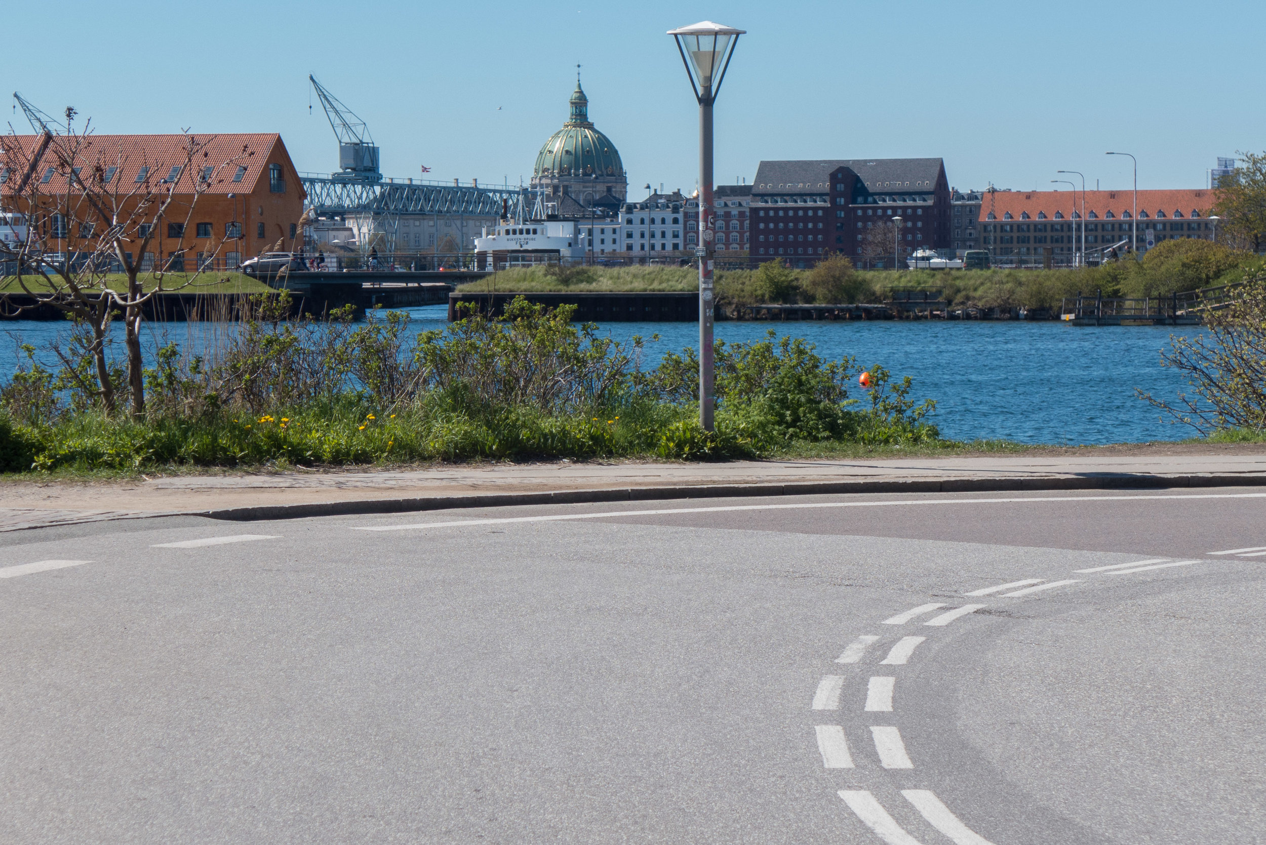
Papirøen or Paper Island is at the centre of the harbour in Copenhagen, opposite the National Theatre, immediately south of the Opera House and north of Christianshavn.
The settlement of Christianshavn, with its houses and warehouses and canals, dates from the early part of the seventeenth century when land was first claimed from the sea in the relatively shallow water between the old city and the low-lying island of Amager.
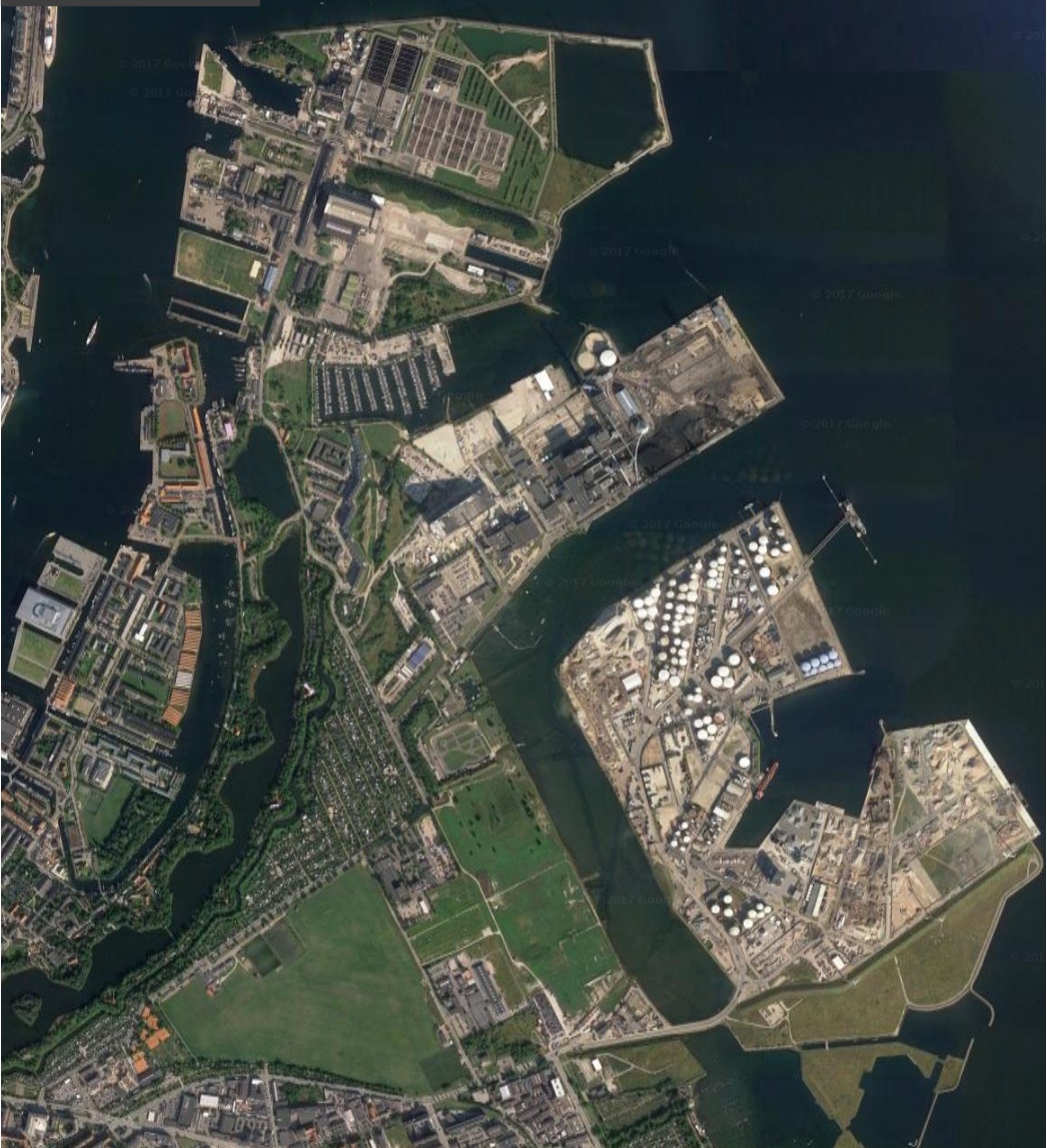
For nearly a century, the area of water to the north of Christianshavn provided sheltered moorings for naval ships but a map of 1710 shows a wide arc of recently-constructed defences …. a line of bastions curving out and round towards the Kastellet - towards what is now Refshaleøen.
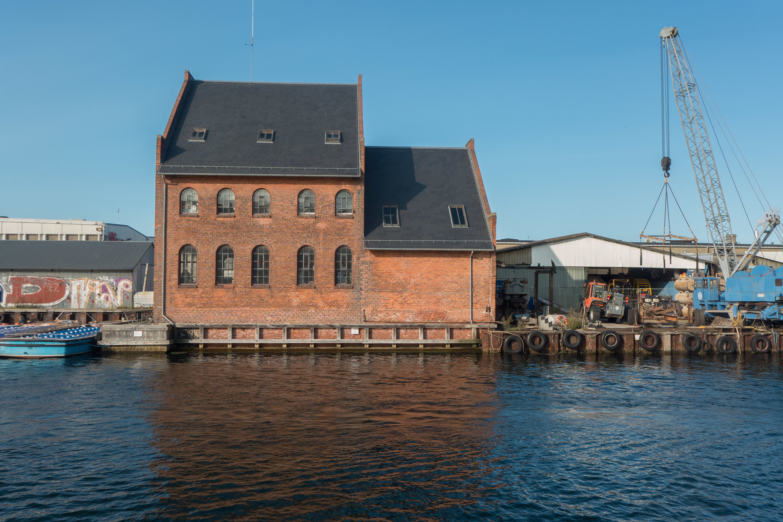
In stages, over the following centuries, new islands were created within these defences, divided by canals or open areas of moorings, with boat yards and stores that were, initially, for the navy but then, through the late 19th and the 20th century, increasingly for commercial trade.
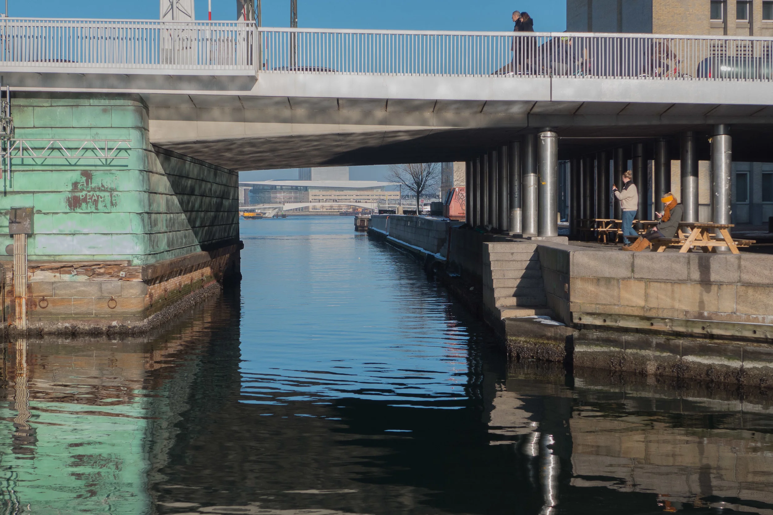
The distinct rectangular island, now known as Paper Island but officially Christiansholm, and an island immediately to its east - Arsenalholm - are shown on a map of 1749 much as now but then linked by a central bridge rather than the present bridge at the south end of the canal between the two islands.
In the 18th and 19th century there was a masting crane on the island and it also appears to have been used as the arrival point for naval officers rowed across from the main buildings of the navy close to Christiansborg.
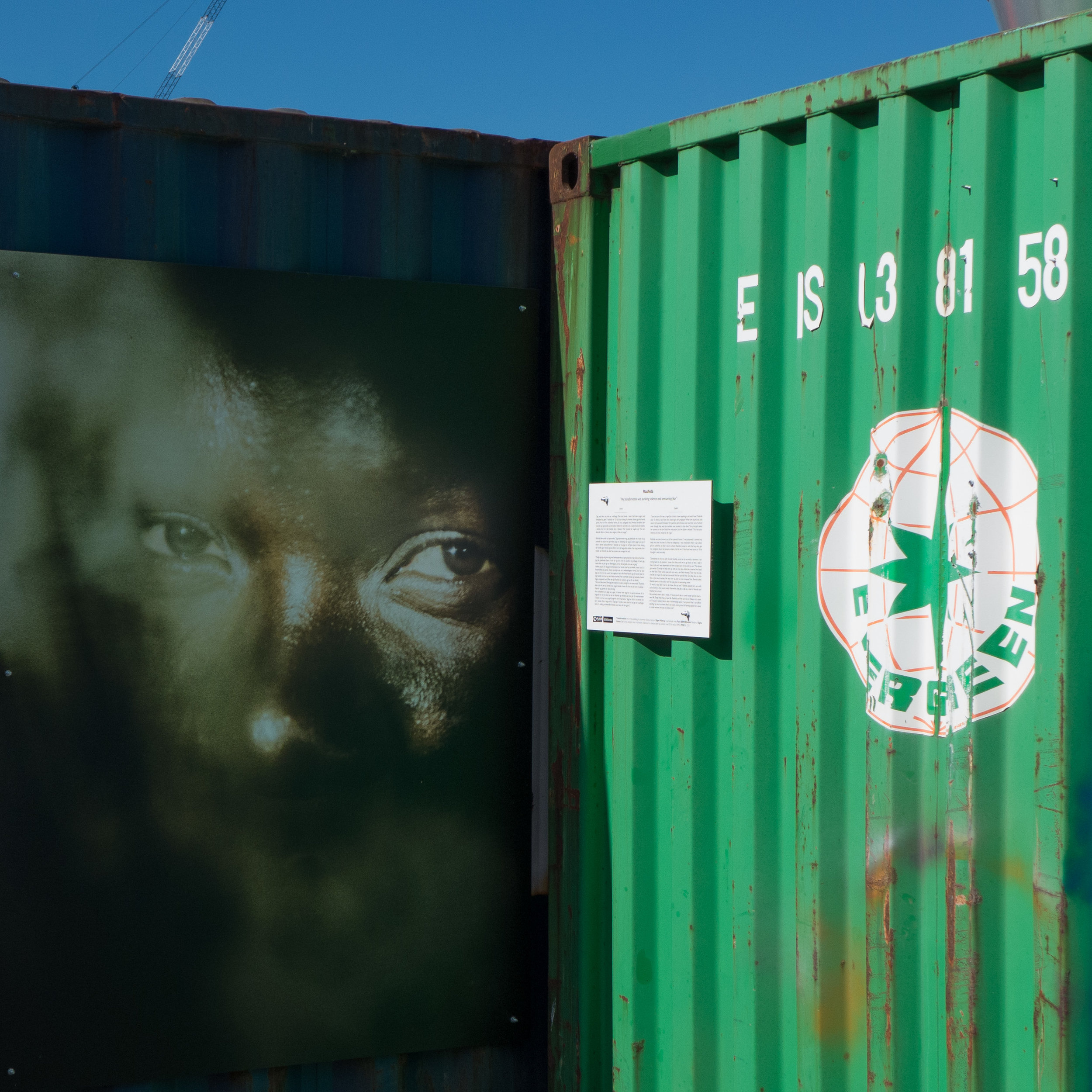
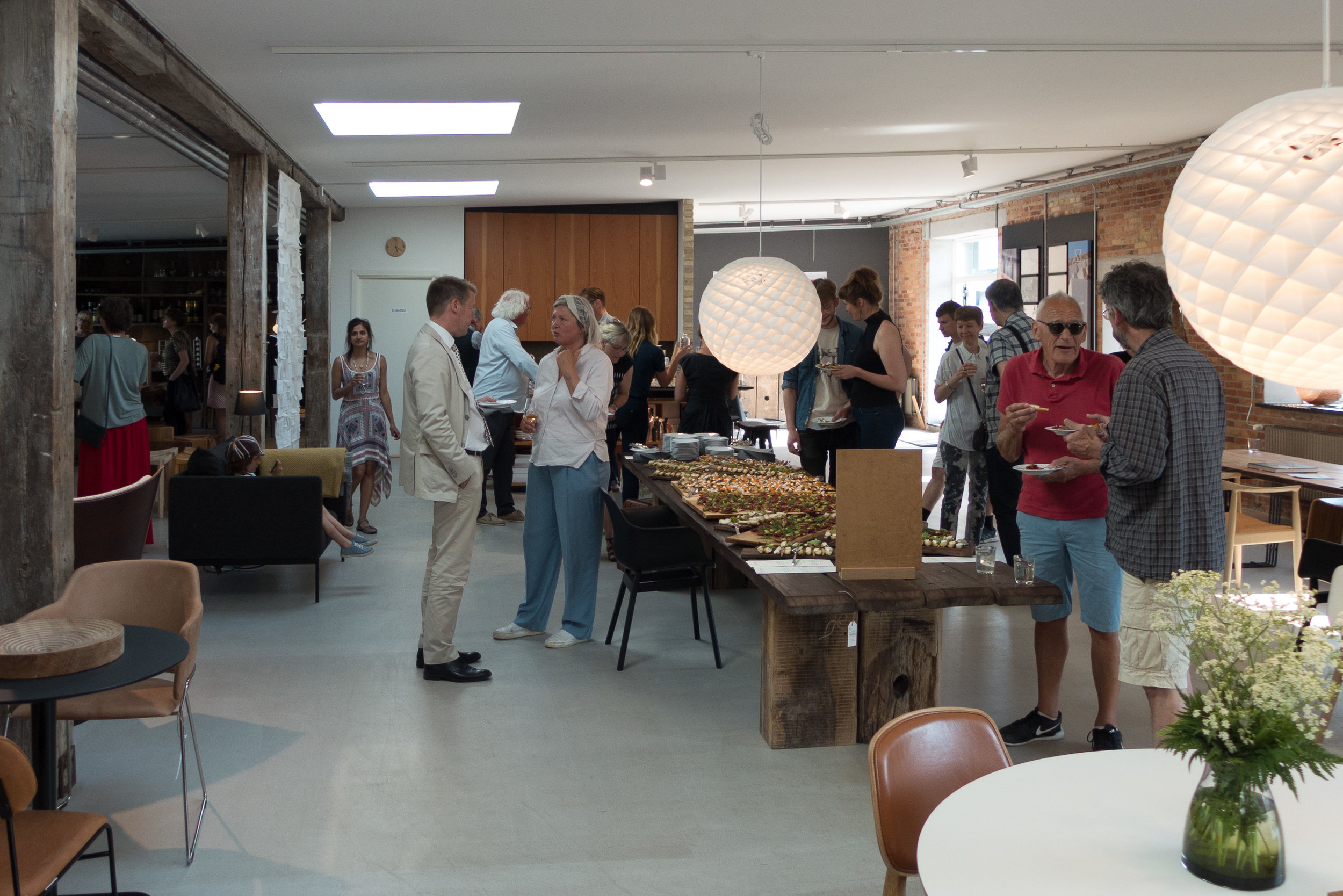
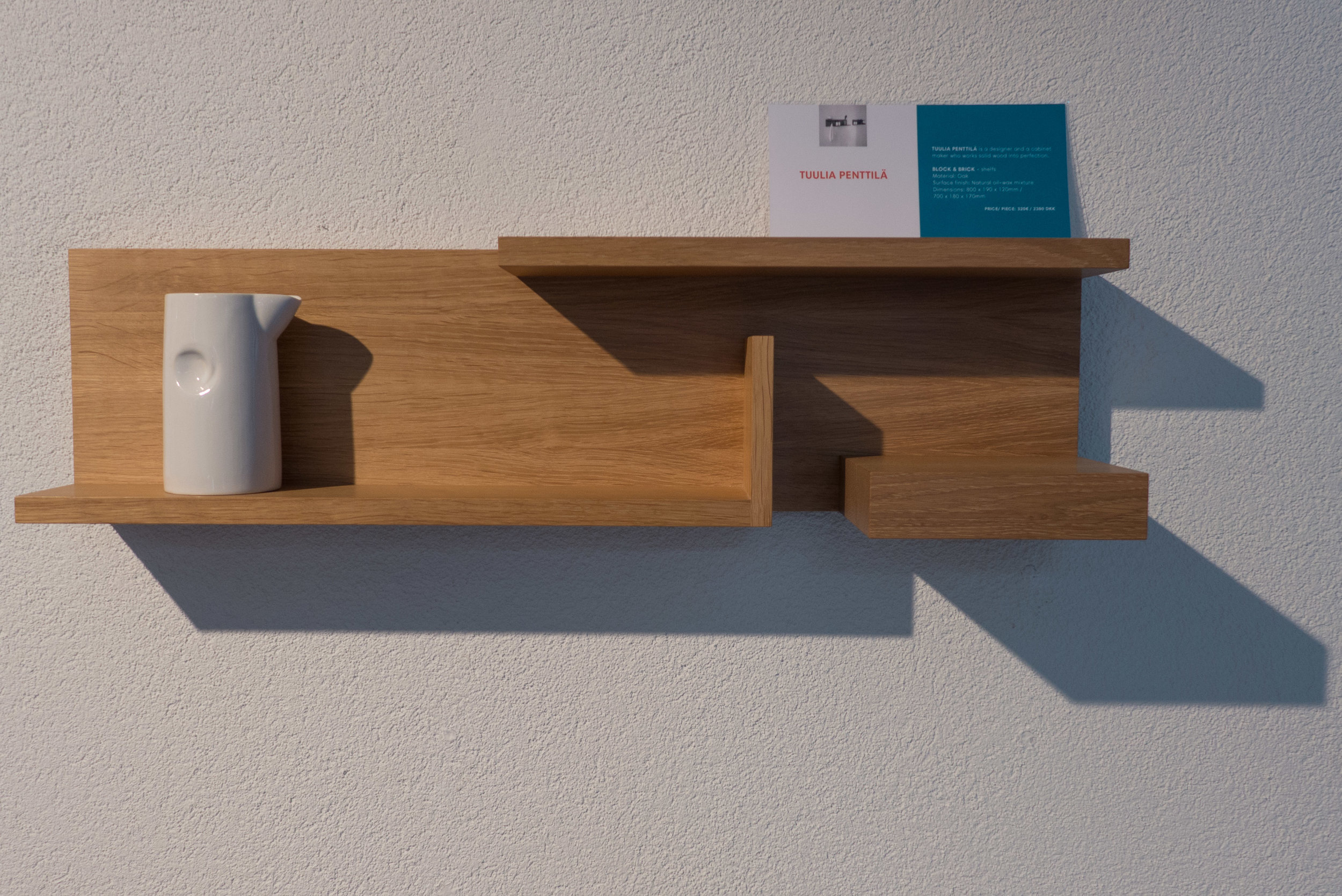
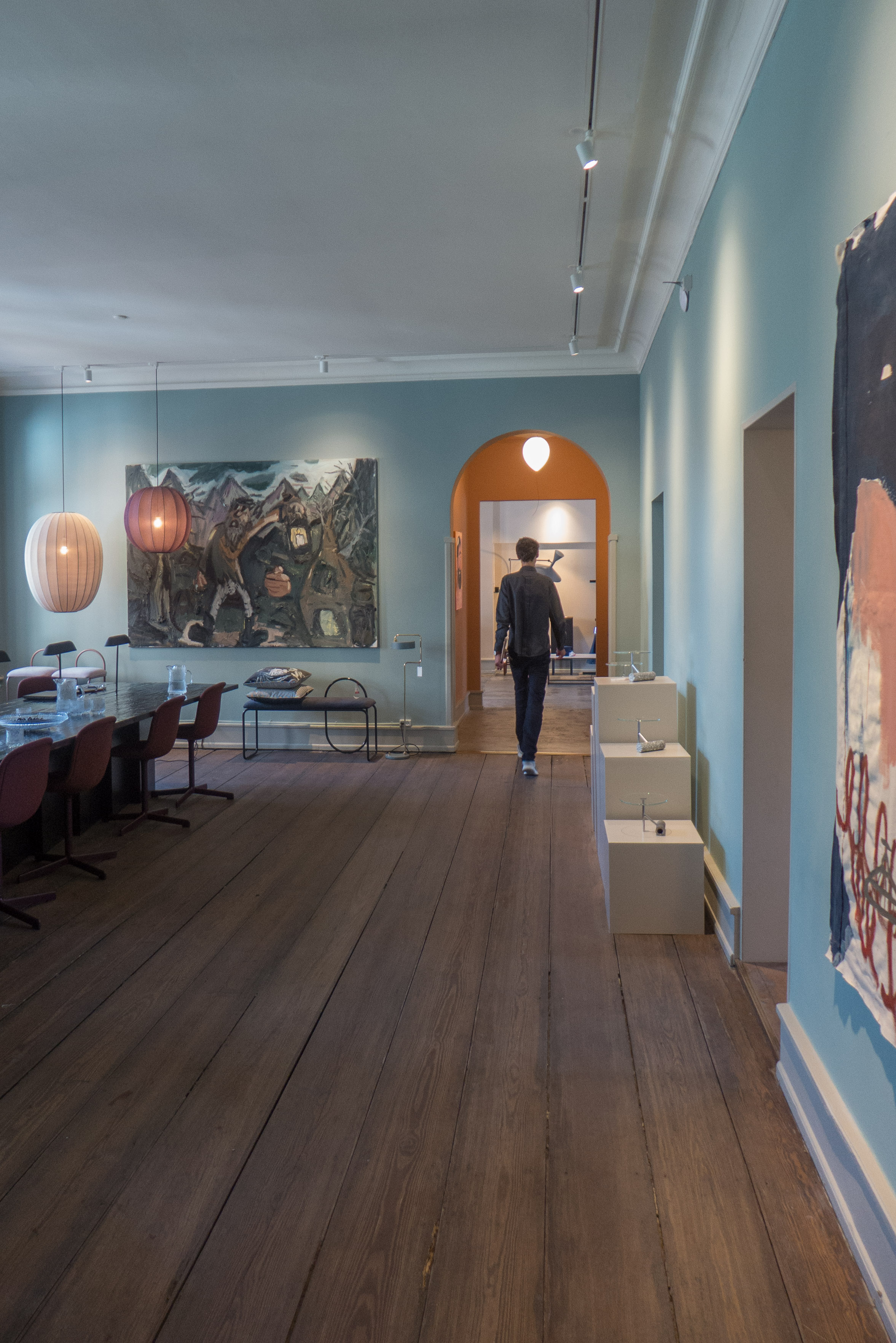
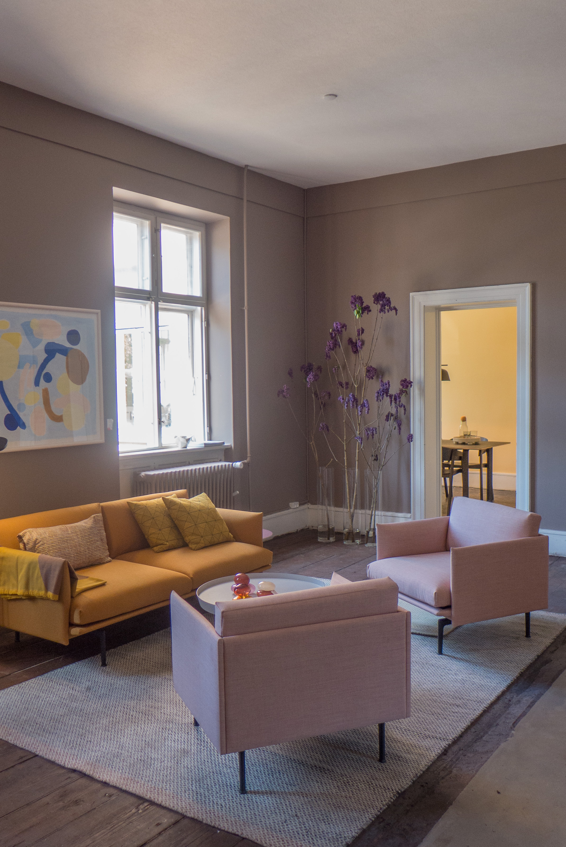
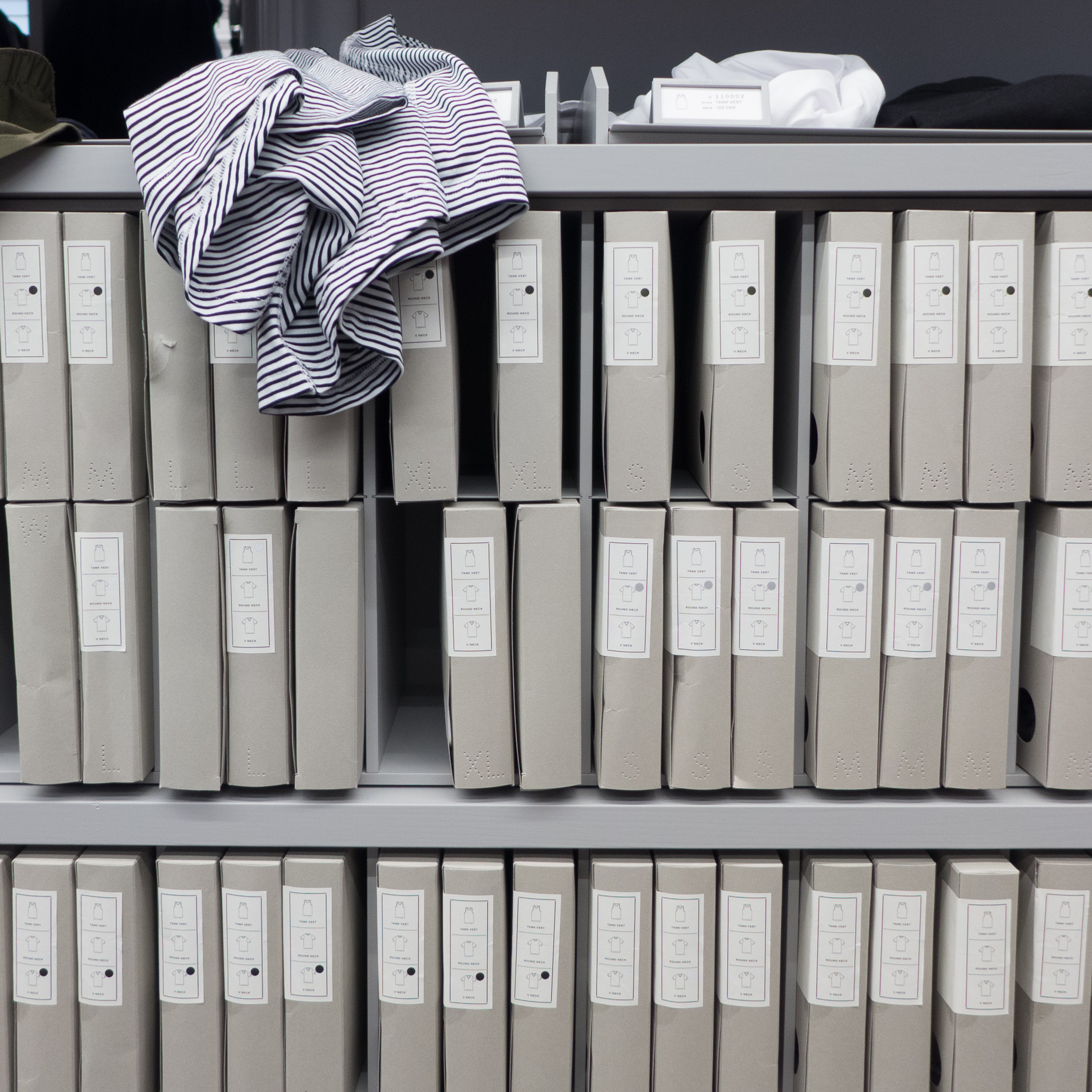
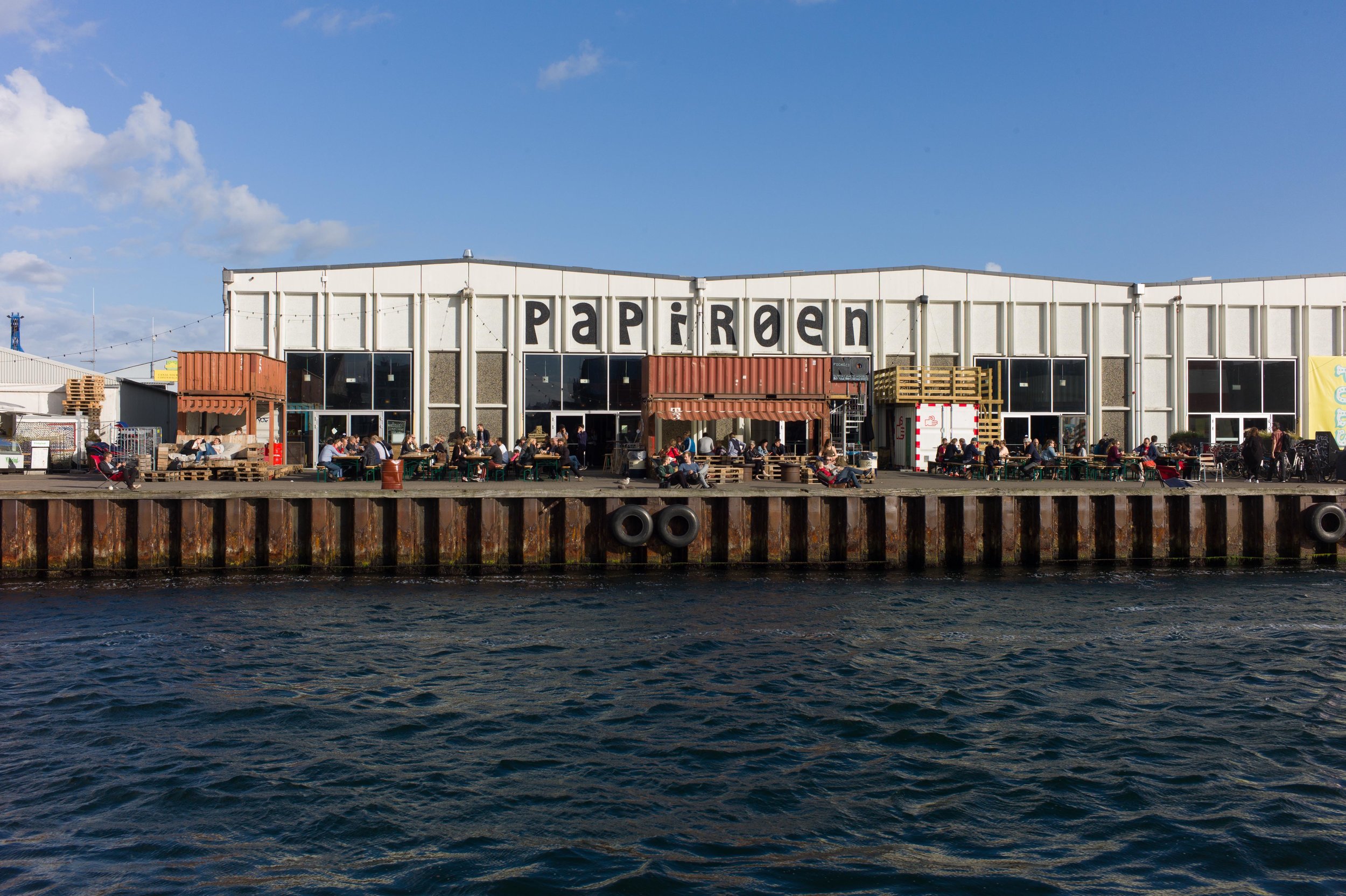
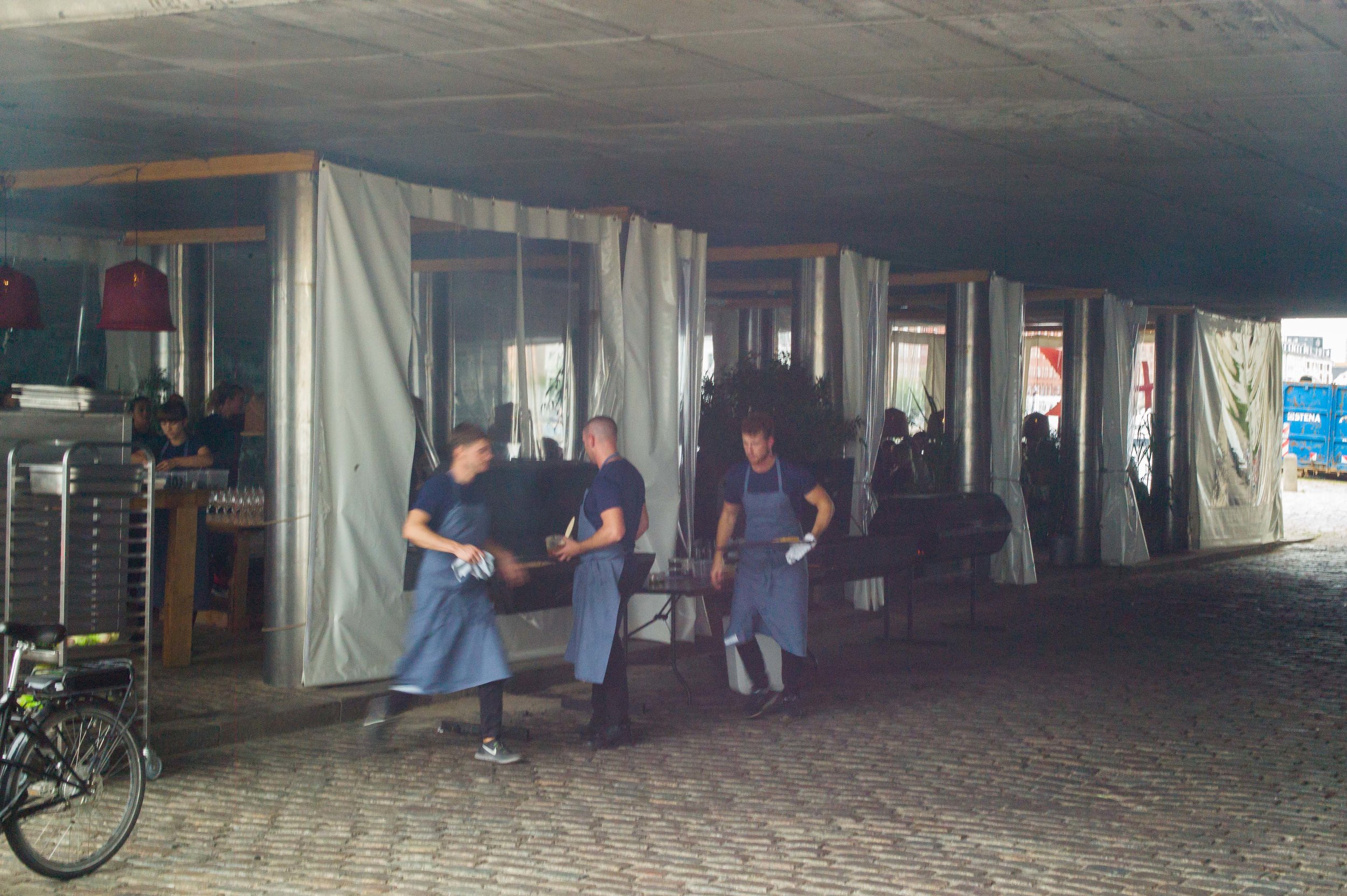
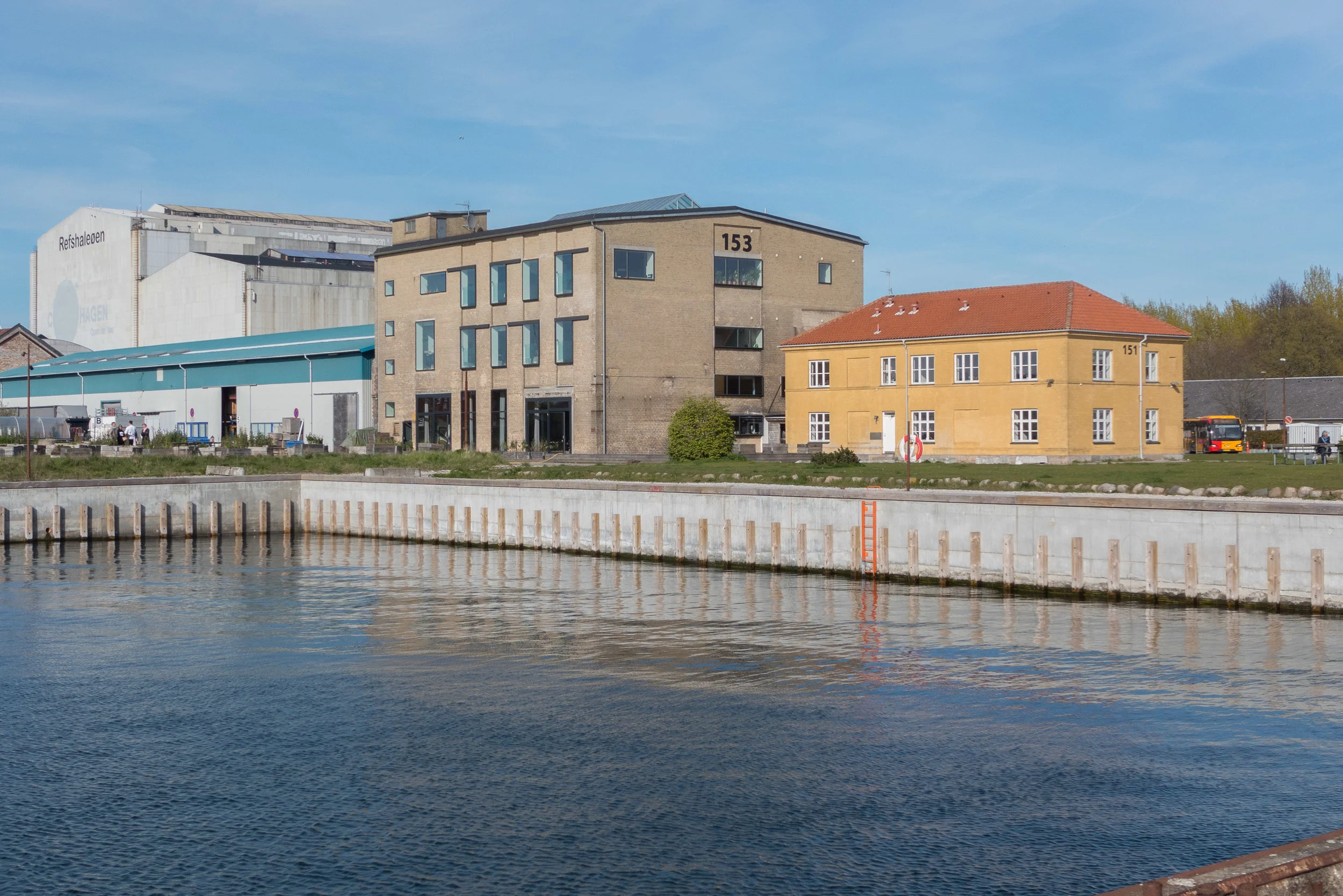
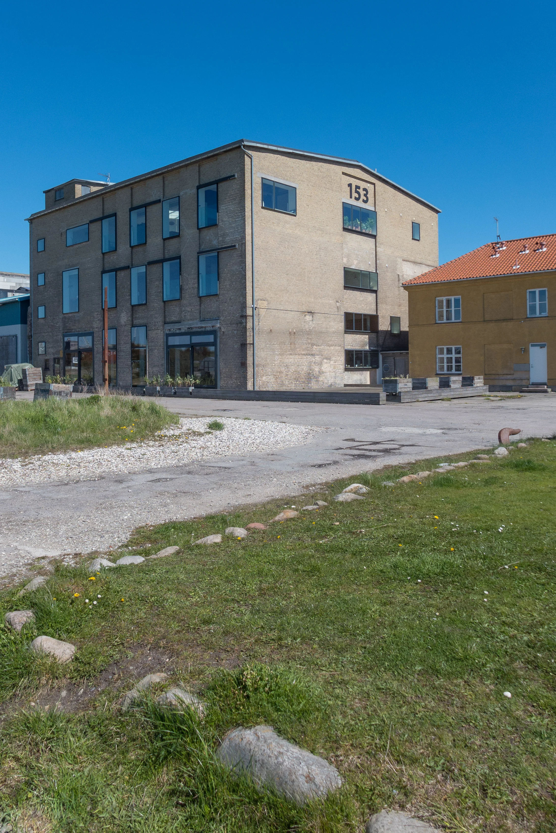
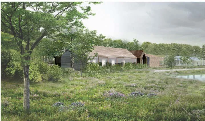
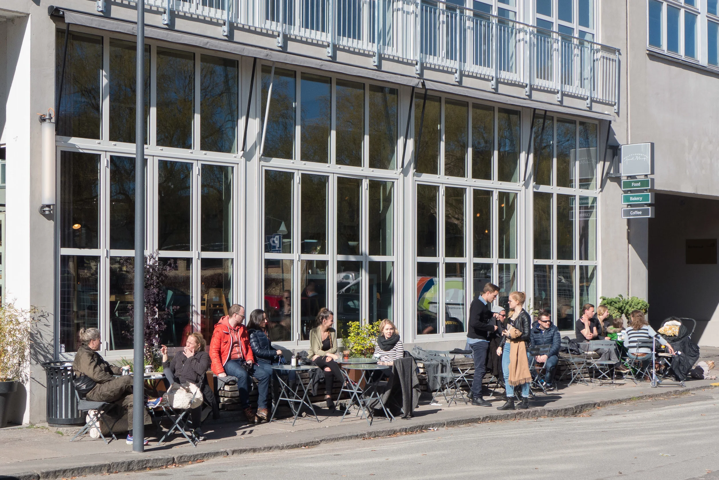
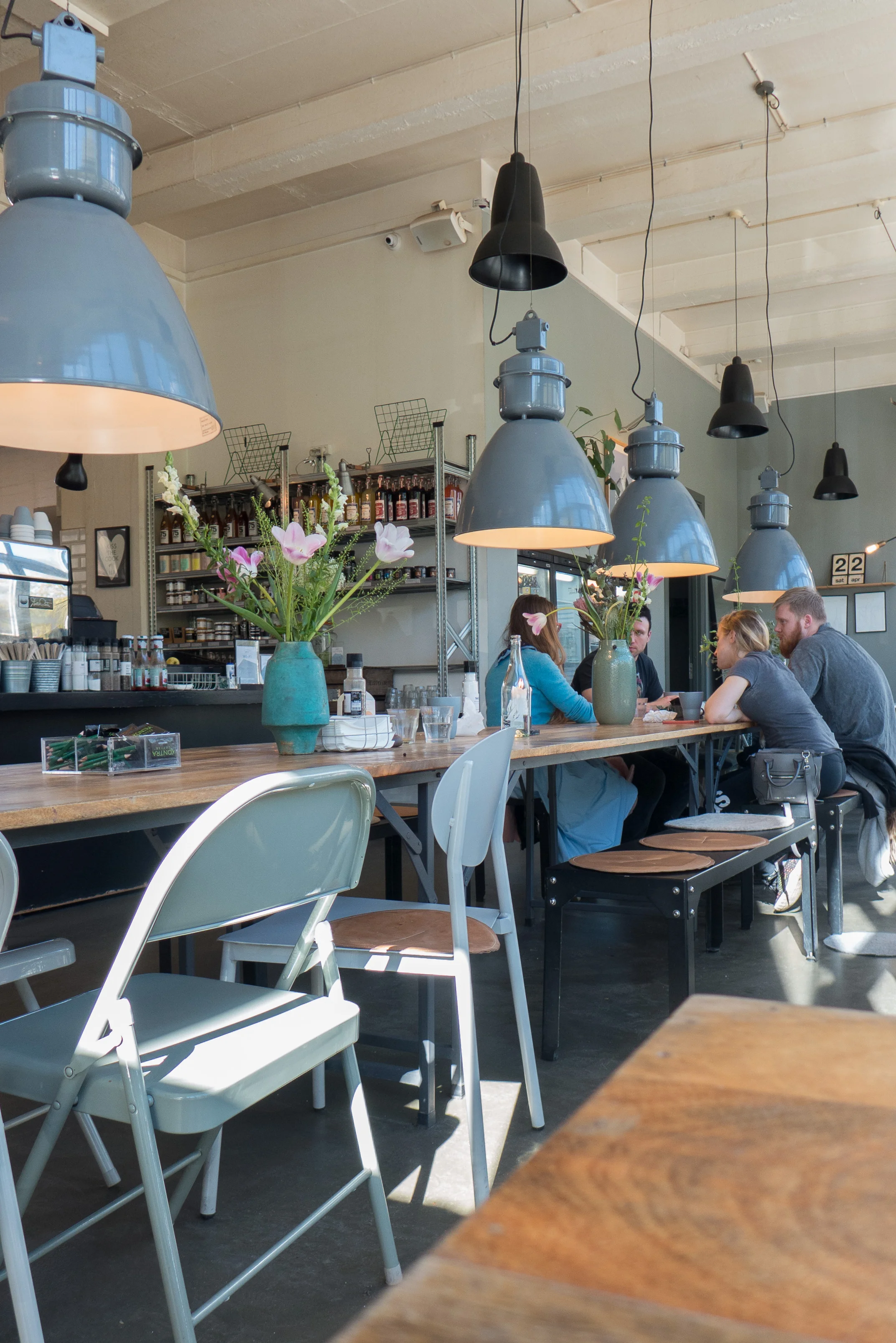
In more recent, post-war years, there were large and grimly basic but relatively low concrete warehouses where newsprint was stored before being taken on to the printing shops of the newspapers in the city …. hence Papirøen, or Paper Island, as its popular name. After the warehouses were closed, the buildings have been used for under-cover car parking and, more recently, for a very popular home for street food and for the modern art gallery known as Copenhagen Contemporary.