the if or when and the how much and why of new islands and tunnels under the sea

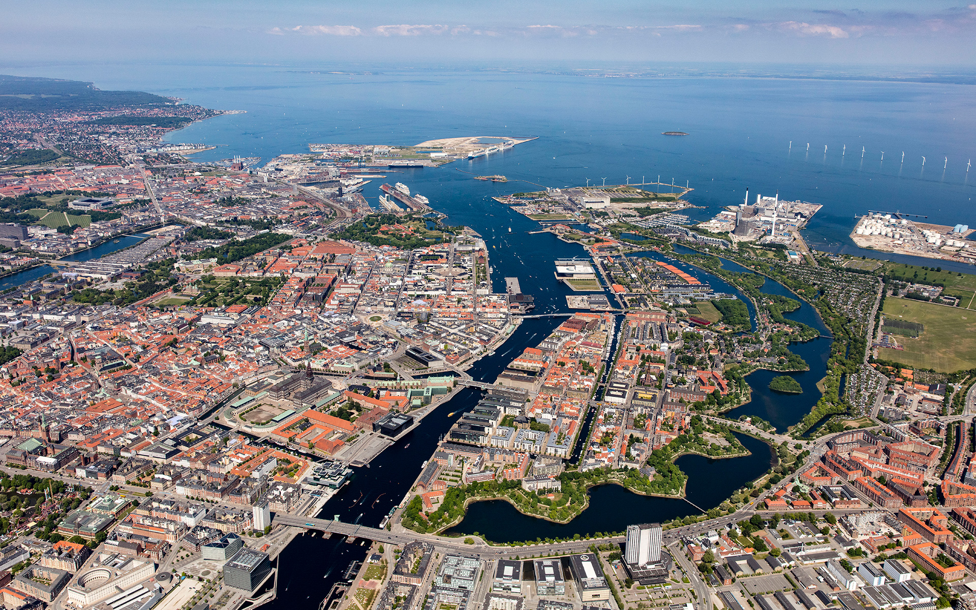
This week, politicians in Copenhagen have to agree a budget for the city for the next financial period and the main item on their agenda will, presumably, be discussions about moving to the next stage their ambitious plans to construct a large new island across the entrance to the harbour …. a major engineering project that has been agreed in principle by both the national government and by the city and agreed across most political parties.

Initial plans set the new island immediately beyond and close to the Trekroner Fort - built in the late 18th century to guard the entrance to the harbour - but the most recent drawings published show that it will now be further out into the Sound and will cover a larger area of about 3 square kilometres. There will be a large park along the eastern edge - planned to be larger than the well used and popular Fælledparken on the north side of the city - with homes on the island for 35,000 people and work there for at least 12,000 people although some assessments have suggested that as many as 20,000 new jobs will be created.

But the new  island is not simply the next version of Nordhavn - just larger and further out - but it is also an integral part of an expansion of traffic infrastructure on this side of the city and there will be extensive flood defences on the east or outer side of the island that faces out across the open Sound …. defences that will be an important part of the protection against storm surges that could flood the inner harbour as the climate changes and as sea levels rise.

The name for the new island - Lynetteholm - was, In part, inspired by the shape with a broad curve to the east side - the side facing out across the Sound - and is from the Danish version of the French word lunette and that has been combined with the Norse word holm for a low island that was usually in a river or estuary and was often meadow.

However, Lynette is not a new name in this area of the outer harbour because it was the name of a curved outer fortress built in the Sound in the 1760s that, with large guns set up there, was an important part of outer defences that protected the entrance to the harbour.

read more

① road link and tunnel to Nordhavn - north of Svanemølle and south of Hellerup
② tunnel to link Nordhavn to Lynetteholm and then on to the bridge to Sweden
③ alternative route for a traffic tunnel below the coast road of Amager
④ route for tunnel from Nordhavn to Sjællandsbroen - bridge over the harbour

⑤ if the elevated motorway at Bispeengbuen is demolished then there is a plan
to construct a road tunnel from Fuglebakken to Amager - including a tunnel
under Åboulevard and under HC Andersens Boulevard and on under the
harbour and possibly as far as Artilerivej


the end of the line for now but from here does the metro go north or east?

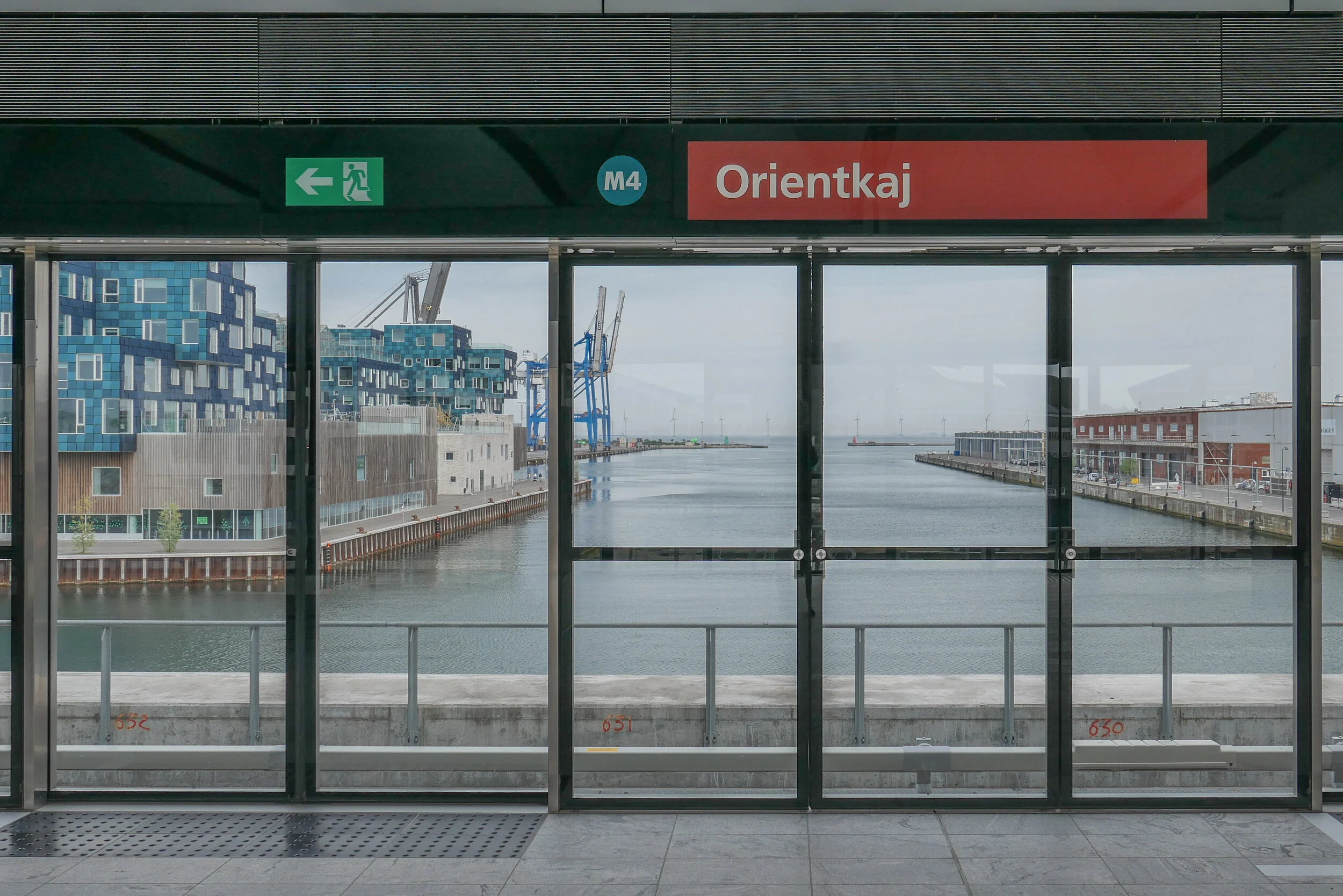
60 metres beyond the platform at Orientkaj - this is the end of the line for now

In March 2020, a new section of the metro in Copenhagen opened …. the north end of the new M4 line with new stations beyond Østerport at Nordhavn and Orientkaj.

From Østerport, trains for Orientkaj follow the existing M3 track - the metro inner ring north towards Trianglen - but 500 Metres from Østerport, below the north end of the lakes, they branch off onto the new line and follow a curve to the east.

The new Nordhavn metro station is just under 2 kilometres from Østerport, below ground on the east or sea side of the suburban railway line so it’s on the east side of the suburban train station at Nordhavn and actually on the east side of the main coast road.

Immediately after the metro station at Nordhavn, trains rise rapidly up a steep slope and up onto a section of elevated track immediately before the second new metro station at the inner end of the Orientkaj dock.

For now, just beyond the platforms of Orientkaj, the track ends abruptly waiting for the next phase of work.

Maps of the metro - even those from as recently as last Spring - show the next stage of the metro line running on to new stations at Levantkaj, Krydstogtkaj, Nordstrand and then, finally, to Fiskerikaj, at the end of the line … so four new stations that will not only serve new housing that will be constructed in the last phase of building for Nordhavn but would also take passengers out to the terminal for cruise ships at Oceankaj.

That new line, as proposed, would form a large curve - running first east out to the cruise ship terminals and then north and west in a large arc - so it has been nicknamed “Lille Spørdmålstegn” or the Little Question Mark.

But now there is a real and a very large question mark over this whole next stage for the metro because all decisions are on hold waiting to see if a recent proposal to construct a large new island for housing across the entrance to the harbour goes ahead.

Constructing that large artificial island would not be completed until 2070 but it is also entangled with a complicated series of planning decisions that have to be made in the next year:

  • A new tunnel is to be built north of Svanemølle power station for road access to Nordhavn from the north but this could be extended down the east side of Amager, in a tunnel, to the airport and the bridge to Sweden. It would not only be a major eastern bypass for the city but would also provide road access to the new island from the north and south.

  • If the island is constructed across the entrance to the harbour then it would also be part of new storm-surge protection to stop water from the Sound flooding into the inner harbour and flooding the inner city. That flood barrier has not been allocated a budget and, already, some have raised doubts about an island being the best form for storm protection.

  • A large and expensive and relatively new sewage and water treatment plant to the east of Refshaleøen would have to be relocated and again that is not in the budget.

  • Because the island would be built out in to the Sound and because a major road bypassing the city would link to the airport and the Øresundsbroen - the rail and road bridge between Copenhagen and Malmo - an eastern ring road should be seen as part of a wider regional transport policy - including a proposal to build a rail and road link at the north end of the Sound, between Helsingør and Helsinborg - so both regional planning and environmental concerns in Sweden have to be taken into account.

This is becoming one of the most complicated and, certainly, the most contentious infrastructure plan for the city.

new metro stations at Nordhavn and Orientkaj
Lynetteholm
the if, when, how much and why of the new island


Forundersøgelse Metrobetjening af Lynetteholm /
Metro Services for Lynnetholm Preliminary Study

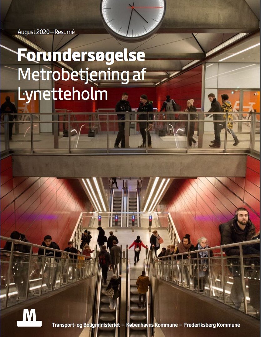
If you want to follow and to understand the planning issues that are involved or if you are interested in the engineering problems that will have to be resolved then I would recommend a report from the metro company - Forundersøgelse Metrobetjening af Lynetteholm / Preliminary Investigation of Metro Service to Lynetteholm.

It can be downloaded from their web site and sets out in some detail and with good maps and illustrations, the options and possible routes for extending the metro line on from Ørientkaj.

This is far from a simple matter of drawing lines across a map.

Any new metro lines will have to link into the current service and this means also looking at an opportunity to extend the metro system into parts of the old city that are not served by the current metro lines.

In addition, the current line out to Ørientkaj runs in sections along existing lines and uses existing service facilities but there is now an opportunity to build new depots and to make sure that new services do not have an impact on the running of the existing lines.

Not only could a new service out to the new island form important new and fast links across the city but it will have to thread it’s way through and under or over existing infrastructure and any new interchanges will have to work in a rational way with what is happening in the streets and squares above.

For some new interchanges on the system - like at Islands Brygge - there are three or four options for the site of a new station above ground and several options for how connections and platforms will link below ground.

If the construction of Lynetteholm does get approval, the island will not be completed until 2070 so any new lines or new stations would either have to wait until then or new lines might be phased and built so that the line out to stations on the island would be simply the last stage that closed the loop.

Forundersøgelse Metrobetjening af Lynetteholm /
Metro Services for Lynnetholm Preliminary Study


If Lynetteholm is given a green light then the new island will influence any future extension of the metro


Before the construction of a new island was proposed, this was plan for the new M4 line of the metro system.

It shares a long section of track with the metro ring between the central station and Østerport. A short new section of track out to Ørientkaj has just opened and the long south section of the line that will provide a service out to the south harbour and on to the major railway interchange at Ny Ellebjerg is underconstruction but will not open until 2024.

The new stations will have distinct designs that reflect the character of the areas that they serve. The station at Havneholmen is on the south side of the shopping centre at Fisketorvet and work has started on an extensive restoration and upgrading of the centre. It is also close to the site for a new bus station for the city on Carsten Niebuhrs Gade on a site parallel to the railway and on the opposite side of the tracks to the station at Dybbølsbro.


M4 Blå linje

This option to extend the M4 line to the new island is possibly the most straightforward.

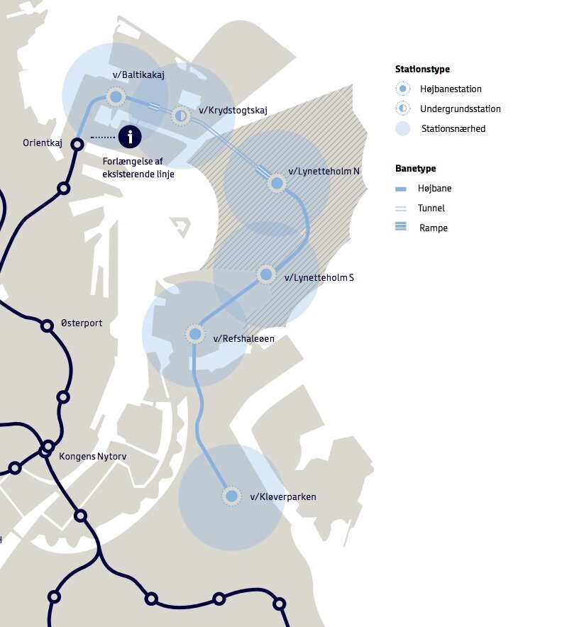
A line out the north coast of Nordhavn might or might not be constructed but the M4 line would be re aligned to go first to a new station at Baltkakaj and then on to the cruise ship terminal and then, when the island was constructed, trains would go in tunnels under the new and constricted entrance channel for the harbour to two new stations on Lyntteholm and then on to Refshaleøen and Klovermarken that are not served by the current metro but will have extensive new areas of development and housing over the next twenty years.

The line could be extended beyond Klovermarken to provide a fast service across the top of Amager and then back under the inner harbour to the central railway station to relieve pressure on the existing metro stations at Christianshavn and Islands Brygge where passenger numbers are close to capacity.


M5 Lilla linje


This option is more radical.

The metro line out to Nordhavn would be completed as planned but there would be a new and potentially faster service out to Lynetteholm directly from Østerport station with a new long tunnel under the inner harbour.

If Lynetteholm gets approval then the plan is for housing for 35,000 people and work for almost as many so passenger numbers would be large.

From Lynetteholm, the new line would also be extended down to Refshaleøen and on across Amager to the central railway station to form a sweeping curve that forms a large reverse C.


M5 Vest Orange linje

This option takes the curve of the new metro line the other way so in effect starts on Lynetteholm (or ends on Lynetteholm as the last stage of a phased construction ending in 2070).

It would serve the major regional hospital - the Rigshospitalet on the south side of Fælledparken - and part of the inner area of Nørrebro that are not served by the current metro lines and with a new interchange at Forum where the exhibition centre may be redeveloped and the line will then go on to the central railway station and again across the top of Amager but in this option it will end at Prags Boulevard where there is extensive new housing.

A new metro station at the central railway station may be constructed on the inner, city side of the railway tracks and would be under Bernstorfsgade …. under the very busy street and the bus station between the railway station and Tivoli.

Whichever option is chosen, it looks as if the citizens of Copenhagen can look forward to 40 years or more of engineering works, earth moving and high green hoardings.


the Metro to Nordhavn

At the end of March, the north part of the new M4 line of the Metro opened for trains to run from København H - the central railway station - to Orientkaj, out at the north harbour.

This new service follows the Cityring to Østerport but then, just north of the station, there is a large junction or intersection at the north end of Sortedamsø and immediately below the lake where the new line heads out to the north east. It goes under the main railway line and railway station at Nordhavn and under the main coast road - Kalkbrænderihavnsgade - to a new underground metro station just north of Nordhavn Basin.

Trains then climb steeply to the start of a new elevated section of track to terminate at a new elevated station at Ørientkaj, just over 2 kilometres from Østerport.

For now, the track stops just 70 metres beyond the new station but it will be extended on to serve new but as yet unbuilt housing and businesses at the outer or north part of Nordhavn and there are plans for it to continue to the terminals for cruise ships and, possibly, on further, back underground, to take passengers under the harbour and to Refshaleøen.

Going in the other direction, trains starting from Ørientkaj now terminate at København H - the central railway station - but the south end of the M4 line out to Sydhavn - the south harbour - is due to be completed in 2022 and then trains on the M4 line will continue on to Sluseholmen and on to what will be a major interchange with the suburban rail service at Ny Ellebjerg.

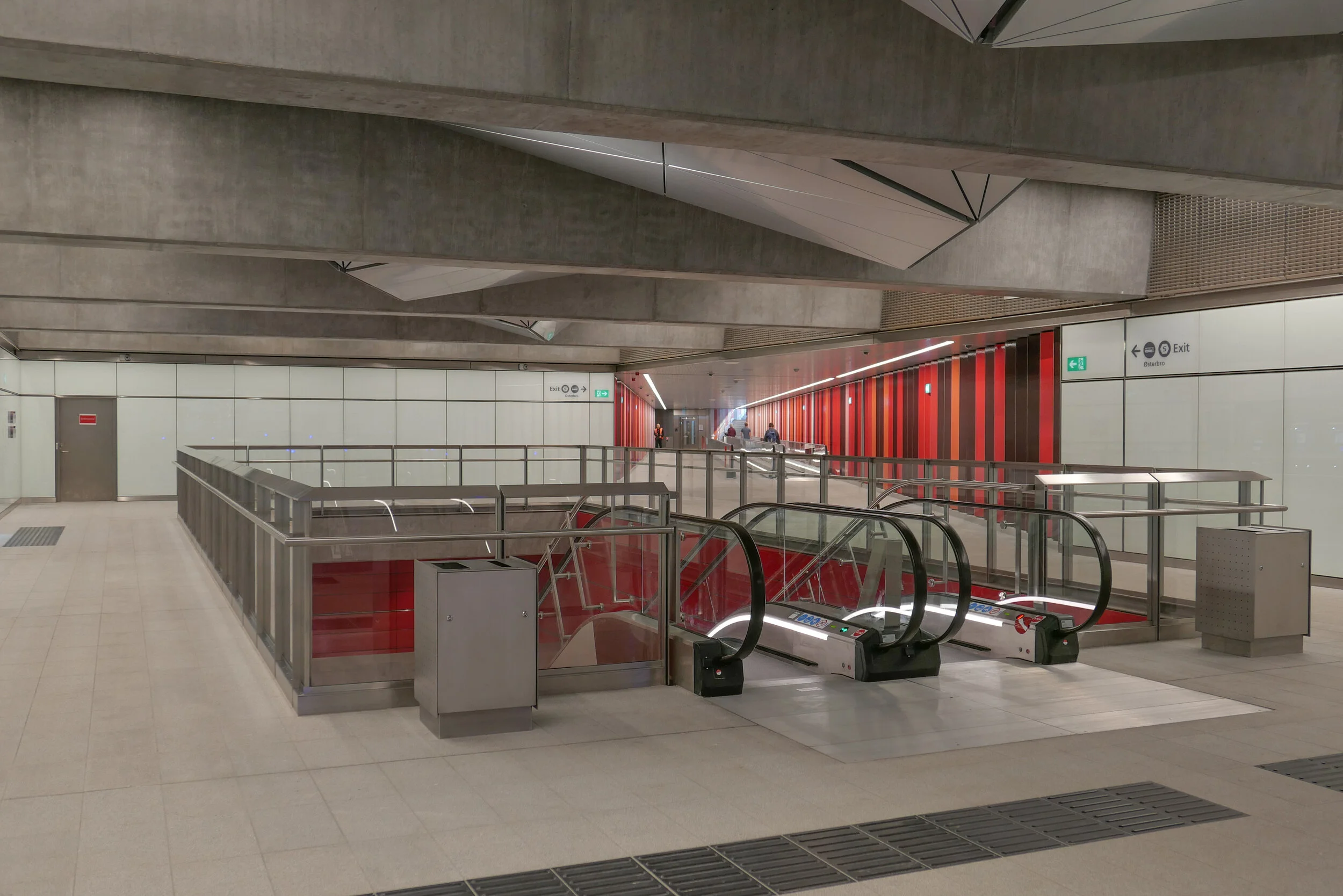
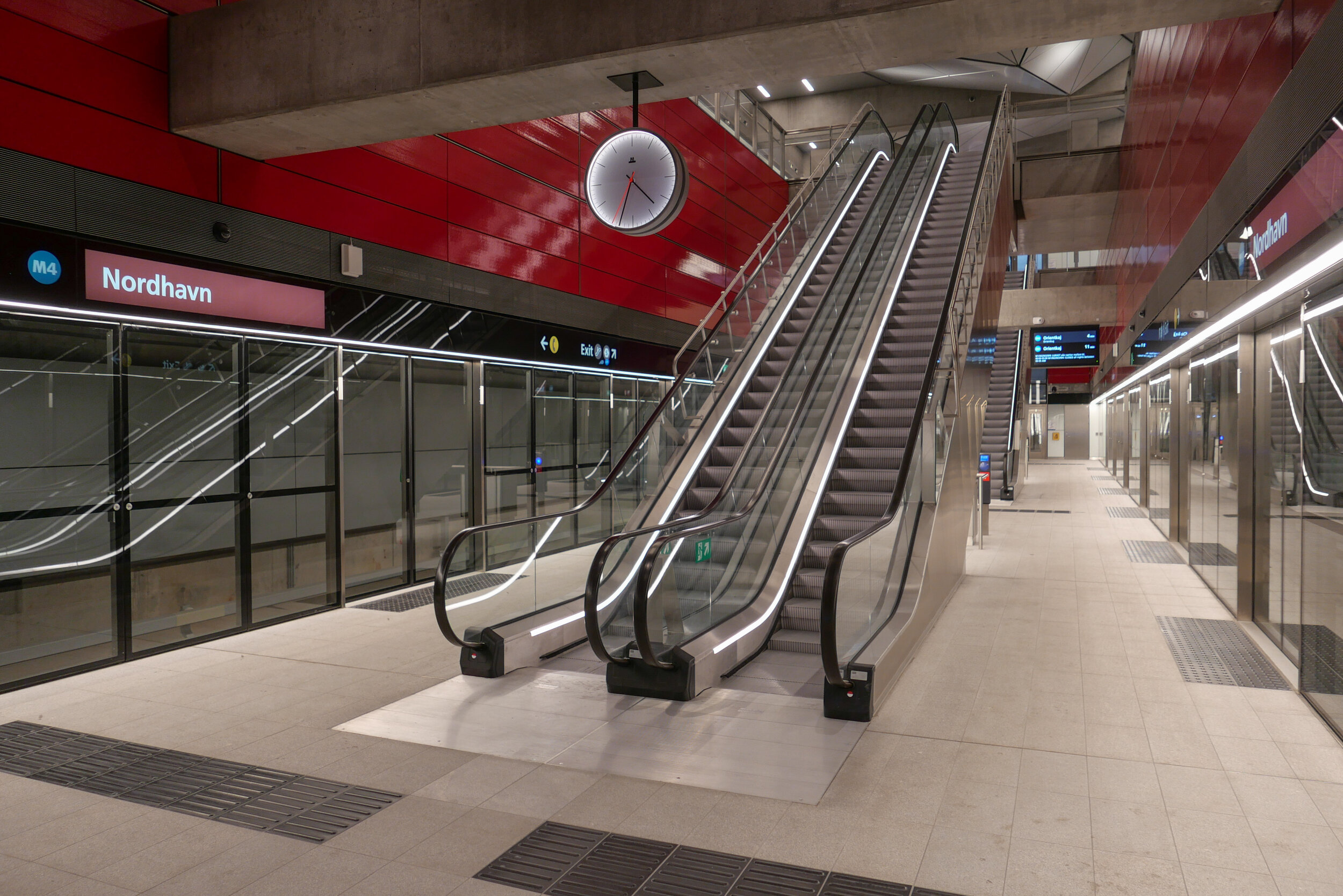
The new metro station at Nordhavn follows the same form as the other stations on the new Cityring …. so with the train tracks set apart and with a central platform between them. There is what is essentially an open concrete box above the platform that is rectangular in plan, the width of the platform and the length of the trains. This contains very open escalators, rising from the centre of the platform and free of the walls of the box and, just below street level, there is a large circulation area below street level where there are ticket machines, information panels and maps and so on with the open escalators at the centre. There are steps up to the street and, at many stations, access to underground bike storage at that level below the street. All the stations also have lifts - most with glass superstructures at street level and stops below at the ticket hall/circulation area and then at the platform.

But, here at Nordhavn, there are some distinct differences from that arrangement.

First, and perhaps most obvious, there are no skylights over the escalators. The public square above the station is only crudely laid out for now, with temporary paths for access, so it’s difficult to see how this will be organised and difficult to see why the distinct pyramid-shaped sky lights of so many of the other stations have been omitted here. These pyramid-shaped skylights over the escalators are important because they provide at least some natural light right down to the platform.

And where the other stations are set to the orientation of the streets or squares above - so with entrances and staircases and elevators that are either at each end or, in some, at the centre of each side - here at Nordhavn the tunnels and the station platform are set at an angle to the streetscape above. The east exit and entrance to Nordhavn runs out at an angle from the corner of that main hall just below street level as a short tunnel with steps to take passengers up to the street above but there is also a long pedestrian tunnel, for passengers to walk under the road and under the suburban railway, to connect the metro station to the suburban railway station and that runs out at an angle from the diagonally-opposite corner at the main ticket hall level immediately below ground. So, the main circulation area, immediately below the pavement, has a strong and distinct diagonal axis.

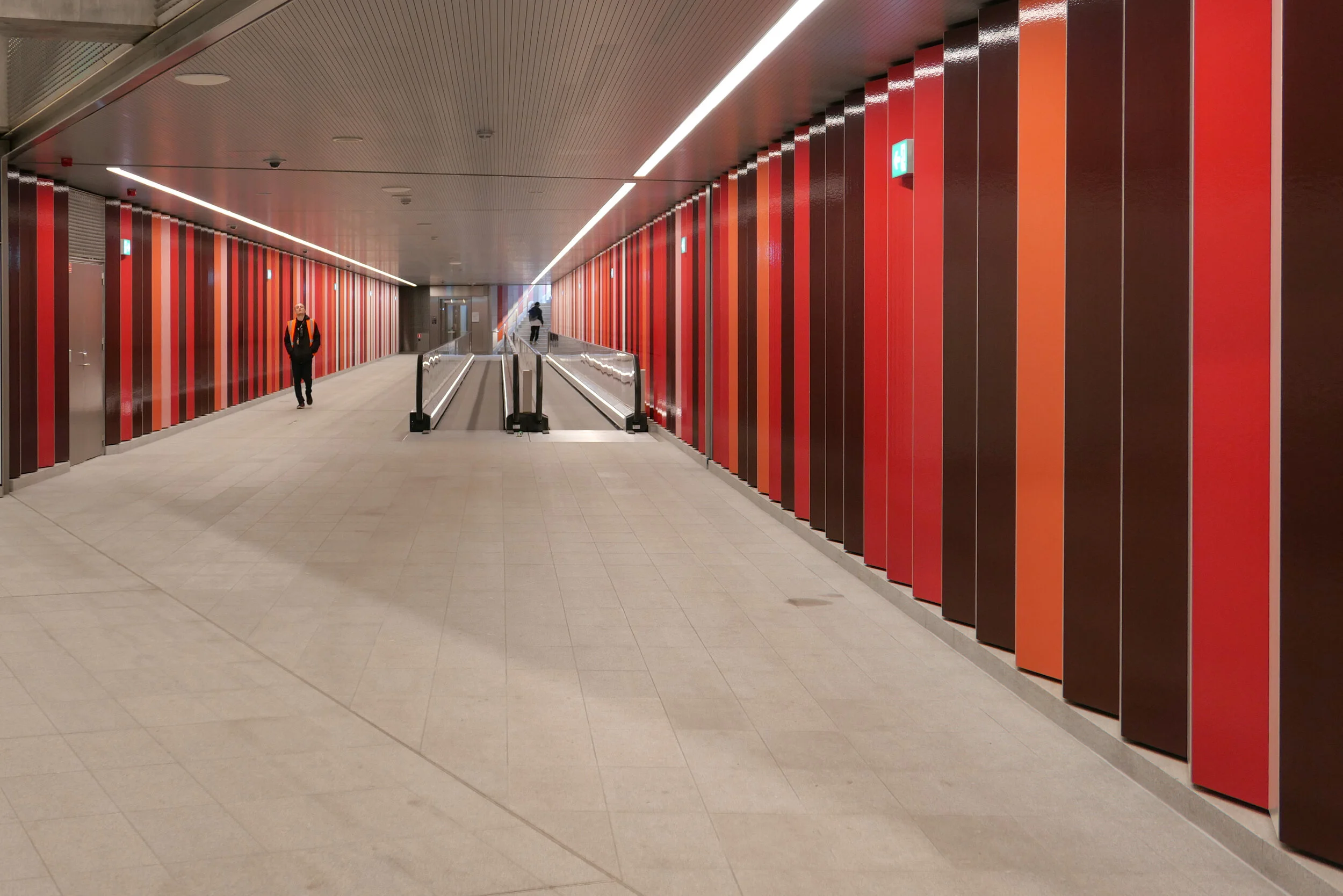
A unique feature in the new metro stations is a moving pavement for the main part of that long tunnel between the metro station and the suburban train station.

The walls of the box down to the platforms have the deep red cladding of other metro stations where there is an interchange between the metro and suburban trains and that deep red is also taken through the tunnel between the metro station and the suburban rail station as narrow vertical panels or stripes. In contrast, the flight of steps up to the square has striking black and white stripes.

I’m curious about this colour coding. From the train, passengers can just see the red above the platform so it might remind them to get off the train here for a railway interchange but how are visitors to the city to know that? And locals, who might have spotted the colour code, probably know where they are going anyway.


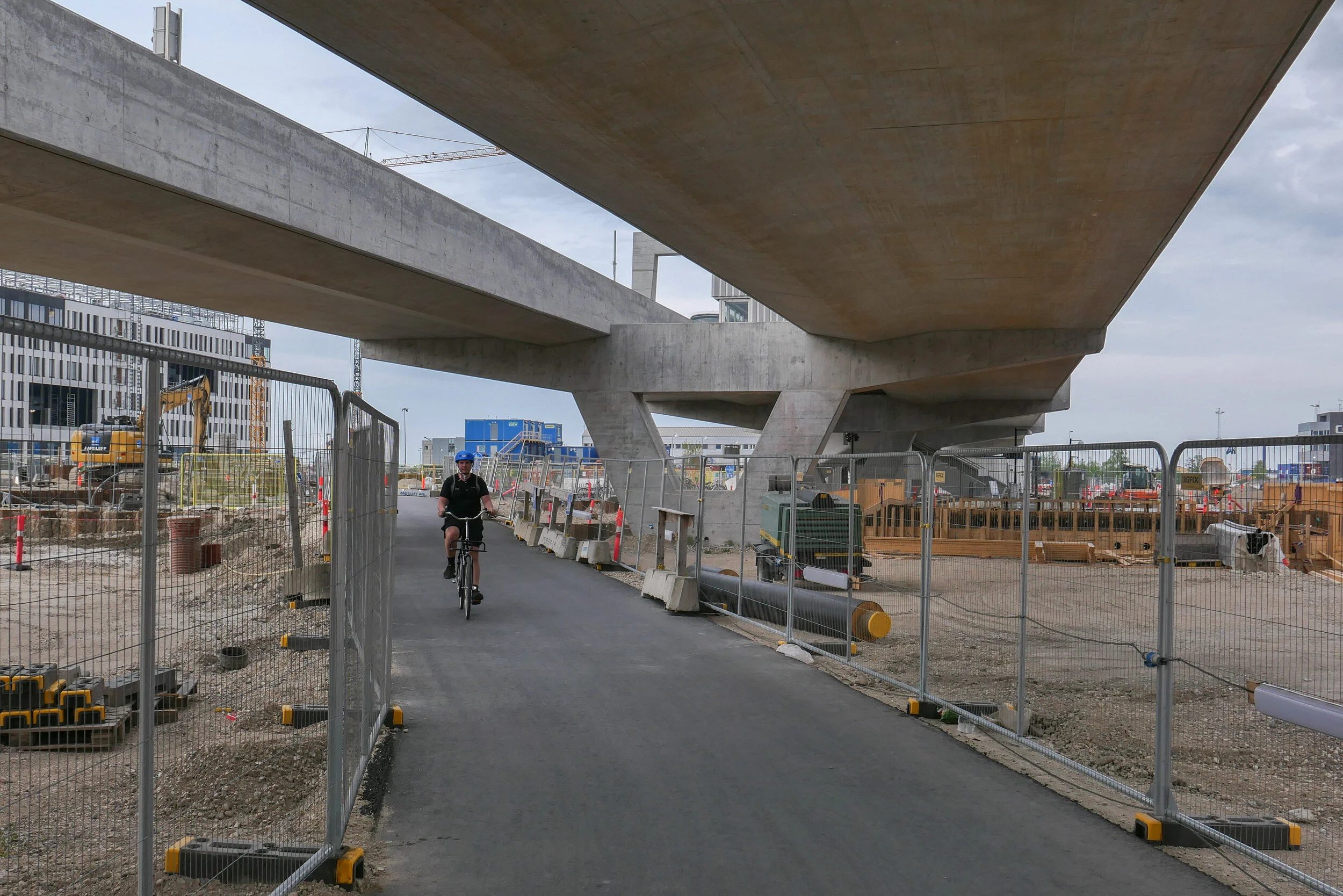
Just beyond the station at Nordhavn, trains emerge from the tunnels and run within hefty concrete channels that rise up steeply past Sundkaj to the new station at Ørientkaj that is just before Levantkaj where the track stops.

Of all the metro stations on the system, Orientkaj stands out with its strong style that owes more to engineering than to architecture.

Like the other stations, the platform at Orientkaj is set between the tracks - rather than on either side, outside the tracks - but the platform area and the tracks on either side are within a large glass box that has spectacular views straight down the dock to the Sound.

The platform area and its roof are supported on hefty concrete work with a broad V shape of supports rising from the ground and with a massive concrete cross beam that supports the platform but extends well beyond the platform with shallow notches in the top that take the troughs of the concrete track. Above, and supported on the ends of the cross beam, are large n-shaped concrete superstructures that seem to support the box of the platform. The design has echoes of the cranes on the docks that move containers along the quayside … so is this a clever visual game? Is the box hanging from the supports or simply paused before sliding on along the track?

Of course, the starting point for the design of the station may well be more mundane and more practical than anything to do with romantic evocations of the gantries of cranes for shipping containers …. it could be simply that, set at the head of the basin and close to the open sea, the glass box was needed to protect passengers and trains from the worst of the weather.

Unlike stations on the older above-ground sections of the Metro - on the lines running down to the  airport and to Vestamager - there is a central tower here with two elevators together rather than single elevators at each end of the platform.

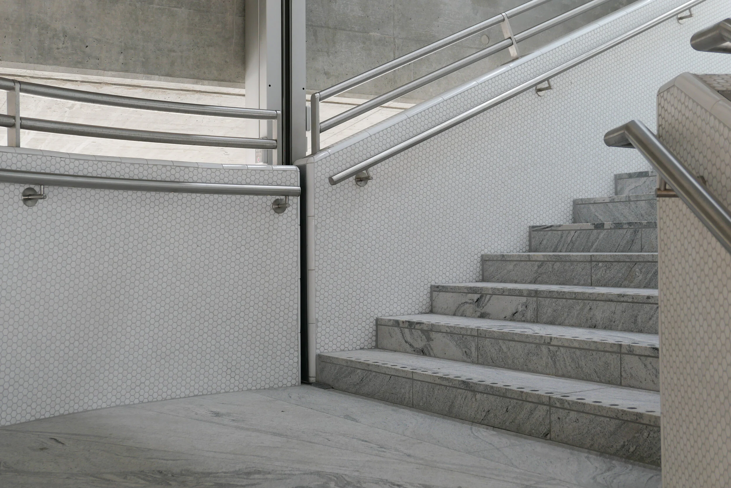
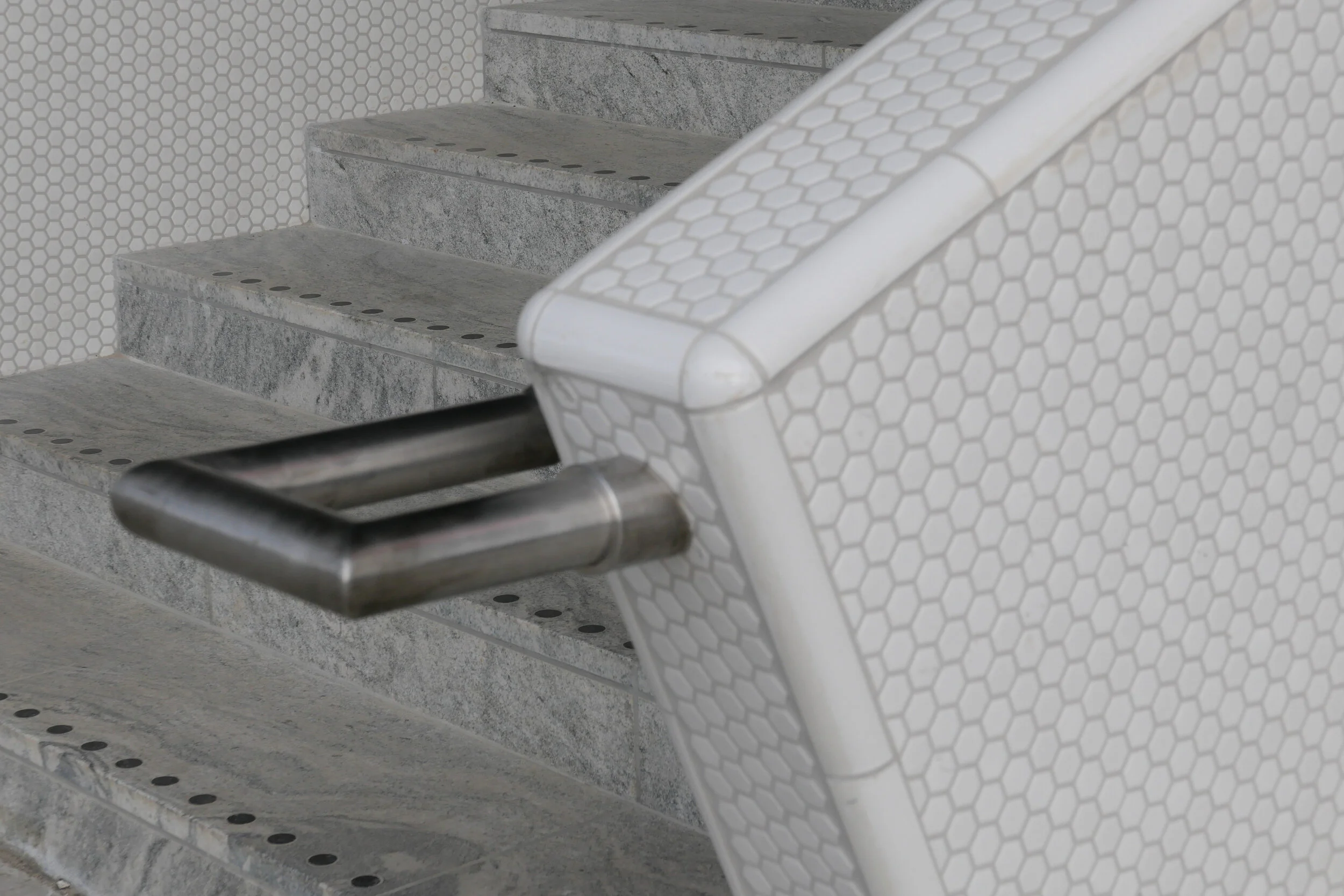
And instead of the industrial, gantry-style metal staircases down to the pavement at those first above-ground stations, here there are dog-leg staircases with solid parapets covered with small white, hexagonal tiles and the staircases are set at an angle rather than being straight and parallel to the tracks.

This has a vaguely Art-Deco feel that might or might not be a reference to the white beach-side architecture of Bellavue and Bellavista by Arne Jacobsen that is just along the coast to the north.

Copenhagen Metro
Arup on the extension to Orientkaj


Himmel & Hav - By & Havn at Nordhavn

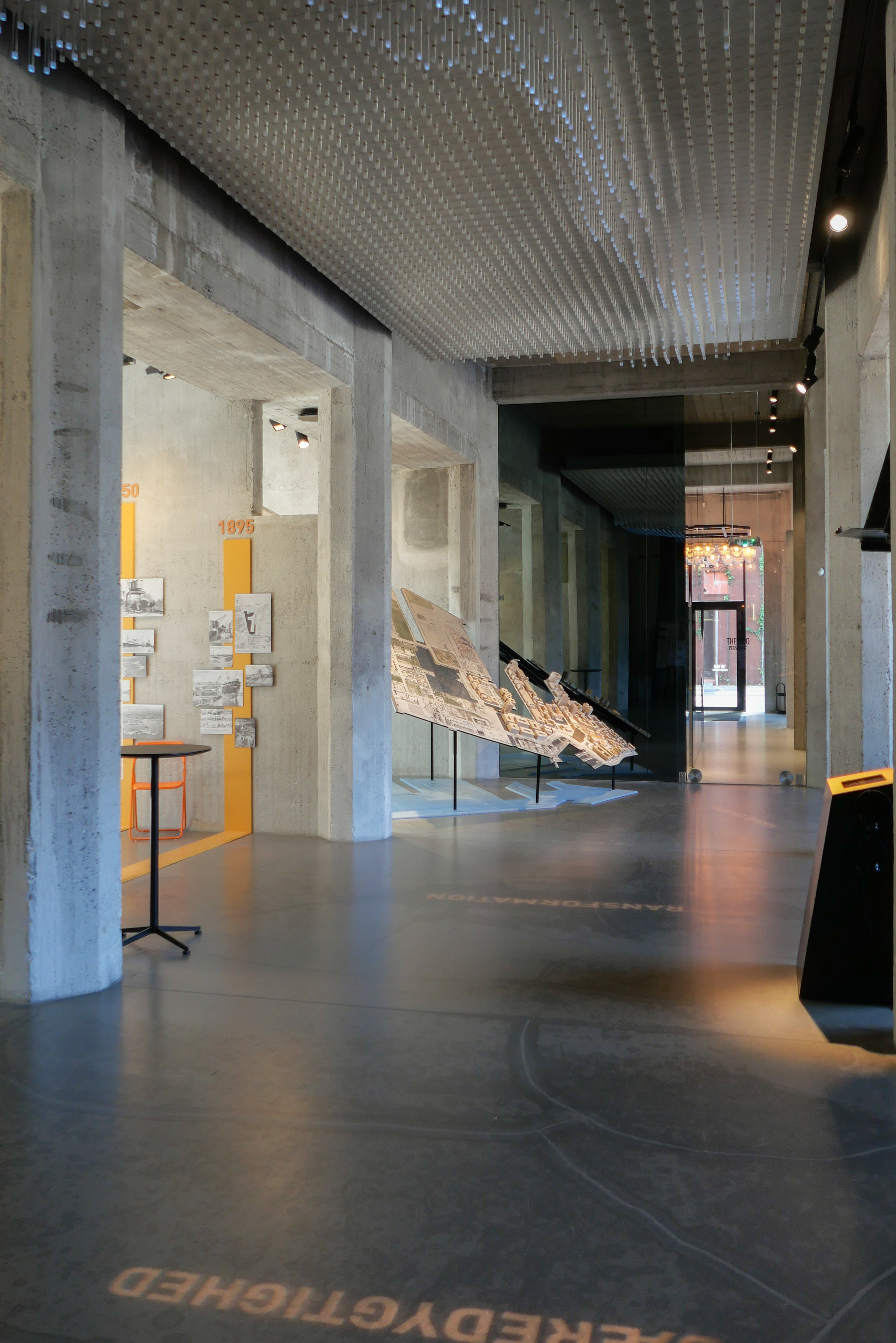
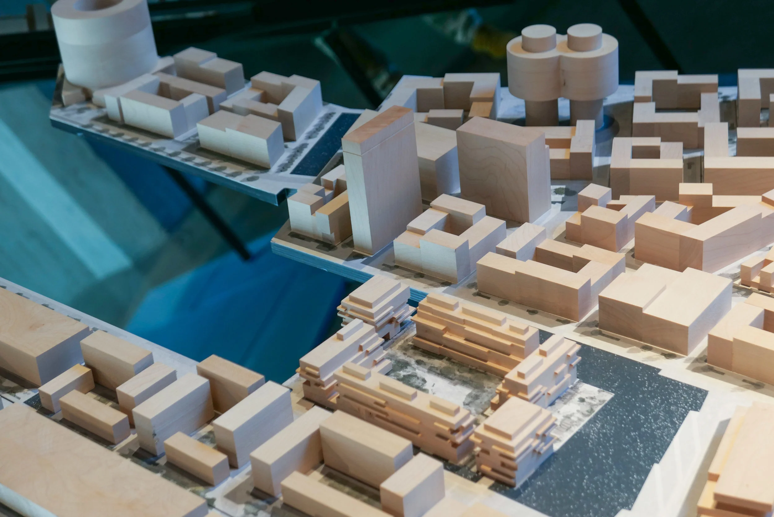
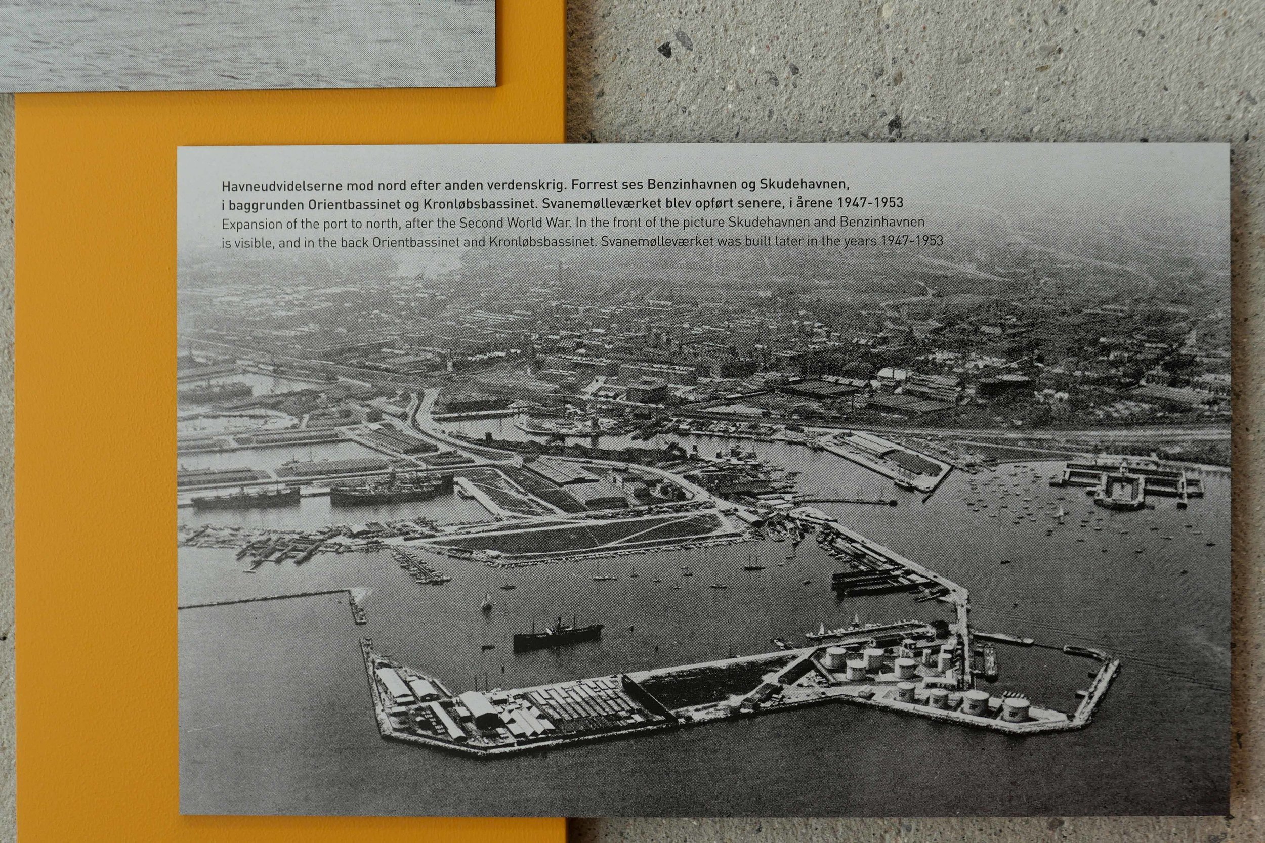
On Saturday and Sunday, By & Havn opened their exhibition in The Silo about the development of Nordhavn - or the North Harbour as one of their contributions to Kulturhaven … the harbour culture festival.

There were models, plans, historic photographs and maps to show how the harbour has developed as more and more land has been claimed from the sea and docks and quays constructed.

A relatively new terminal for the ferry to Oslo and the large dock for cruise ships along with the last area of container dock survive but the oil terminal and most commercial docks have gone and the bonded warehouses converted to offices. Now, much of the land and large areas of newly claimed land that have been built up with spoil from digging the tunnels for the new metro are now streets and squares of large apartment developments.

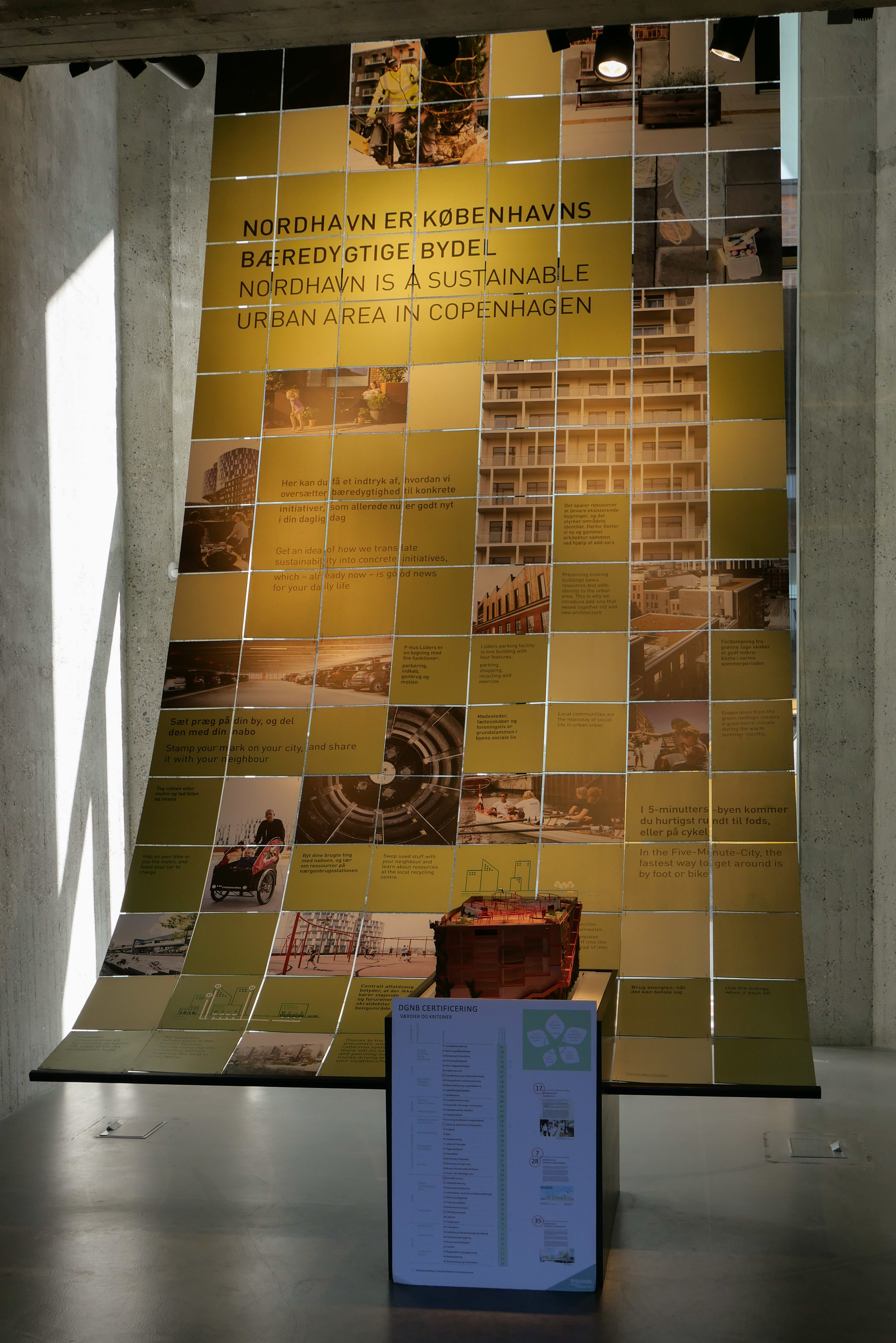
One task of the exhibition is to show how the development of Nordhavn will be completed through the next stages as an extension of the metro is completed but it is also, in part, a way to show new sustainability goals and to show how this area has taken on board the latest ideas about contending with climate change so, for instance, water from cloud bursts is filtered and taken into the harbour rather than being allowed to overwhelm sewage systems.

By & Havn are the development body that is also overseeing planning and the extensive and ongoing construction work in Ørestad, on the Amager side of the south harbour, and the next stage of development around the power station on the city side of the south harbour and By & Havn will oversee and control the proposed development on new islands north of Refshaleøen.

The exhibition will be open to the public again next weekend - Saturday 31 August and Sunday 1 September and after that can be opened specifically for organised groups by arrangement.

By & Havn


Finders Keepers


This weekend there was a Finders Keepers event here in Copenhagen.

It was the usual mix of design, clothing and food and the usual and good mix of small independent companies … this is entrepreneurial Danish design at its best … but it was a rather different set up this time.

Normally there is a single venue - so somewhere like the Locomotive Works or the old Tap1 out at Carlsberg - but this weekend they took over two streets in Nordhavn with the design and the clothing companies inside - in what will soon be fitted out as retail or office space along Århusgade - and food stalls down the narrower side street of Travemündegade that runs back from Århusgade.

There was not much space for chairs for sitting down to eat but the odd bonus was that the smell of cooking and grills and barbecuing - trapped by the buildings - was absolutely incredible although I wonder what the people who have just moved into these apartments thought about it all.

Finders Keepers


Nordhavn … coming together


The trip out to Nordhavn to go to Finders Keepers was a good opportunity to have another look around the new district as most of the apartment blocks are finished and most now occupied and the hard-landscaping is going in now that the heavy construction traffic has left. 

My impression, watching the area go up over the last couple of years, has been that this was a bit of a cladding free-for-all. A sort of me me me look at me approach to designing the buildings but actually it is beginning to come together a bit more as a district. A supermarket, a wine bar and a coffee place had all opened since I was last here. The old harbour buildings have been restored and businesses are moving in as well as residents.

Some of the streets are narrower and more tightly built up than along the harbour below Islands Brygge or in the south harbour area but actually that might be an advantage in protecting the streets from the worst of the weather in the winter … after all this is the North Harbour.

It looked as if many of the Danes visiting Finders Keepers were also taking this as a first opportunity to explore the newest area of housing in the city as many were taking photographs and there was a steady stream of people climbing the staircase to the park on the top of the P-hus Lüders multi-storey car park.


the horizontal, banded brickwork is good ... an interesting take on decorative brickwork from the 19th and early 20th century throughout the city ... a stripped down version that gives the building some texture and a strong tone that sits well with the deep rust-coloured Corten steel used throughout the district for drain covers, rubbish bins and bike stands


the graphics for the car park by Rama Studio are fantastic

and the vertical planting is looking good as everything becomes more established


MENU at Nordhavn - the new North Harbour district


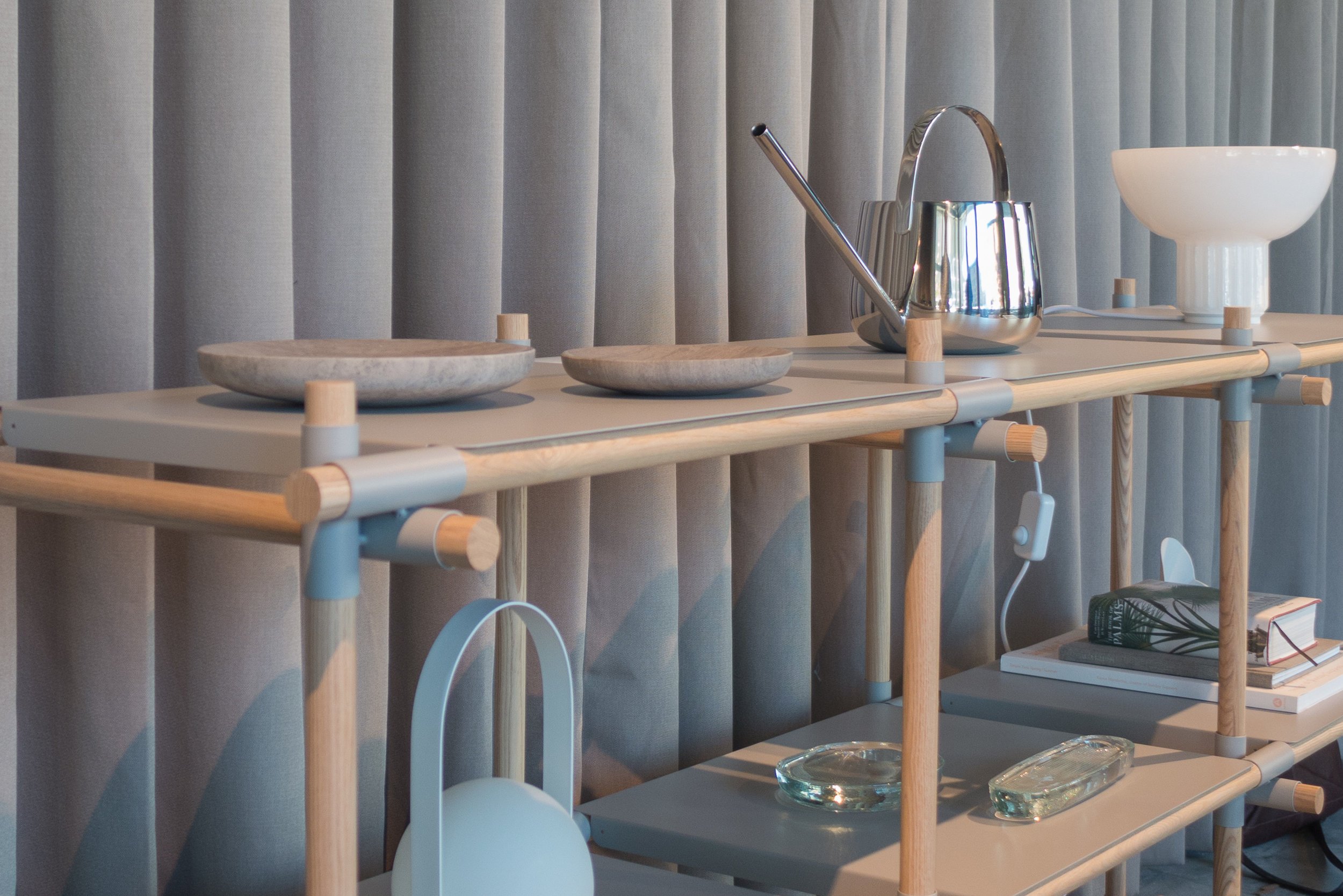
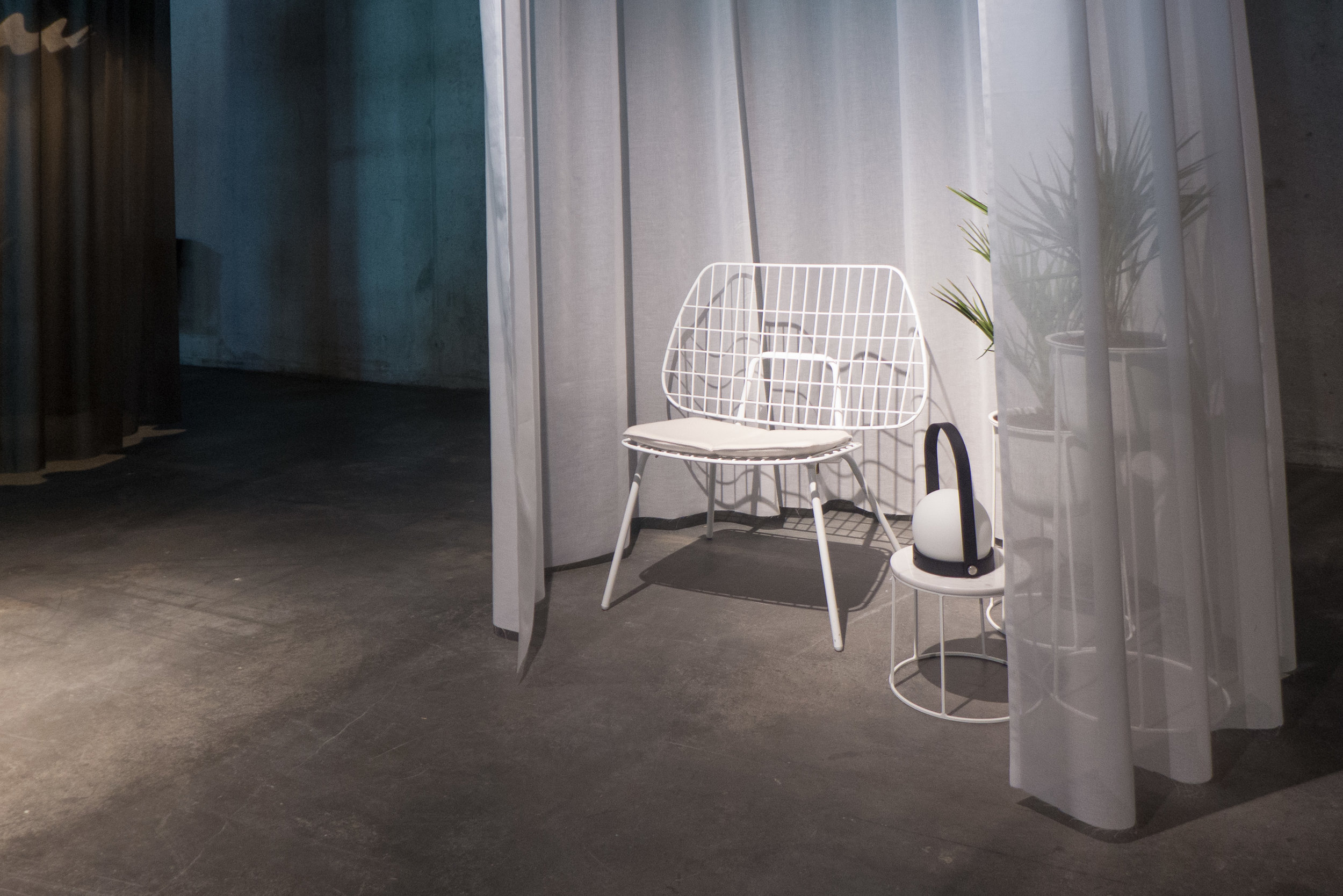
Menu - the kitchenware, home accessories and furniture company - have just opened a dedicated Menu studio. display space and a cafe in the new harbour district in Nordhavn in Copenhagen.


Menu, Hamborg Plads 2, Nordhavn


The Silo


The Silo in May 2015 - work had been completed on the ground floor
and the exhibition space was used for 3daysofdesign


After going to the new exhibition at the Danish Architecture Centre - Our Urban Living Room about the work of the Copenhagen architects COBE this seemed like a good time to go out to the North Harbour to see what is happening at The Silo … one of their major and ongoing projects.

read more


May 2016


The Silo from the west in October 2016 with a new block of apartments in the foreground. The photographs of the balconies that are now being fitted were taken from the roof of the car park by jaja architects that has just been completed to the east of the Silo