“when we reside differently we behave differently”


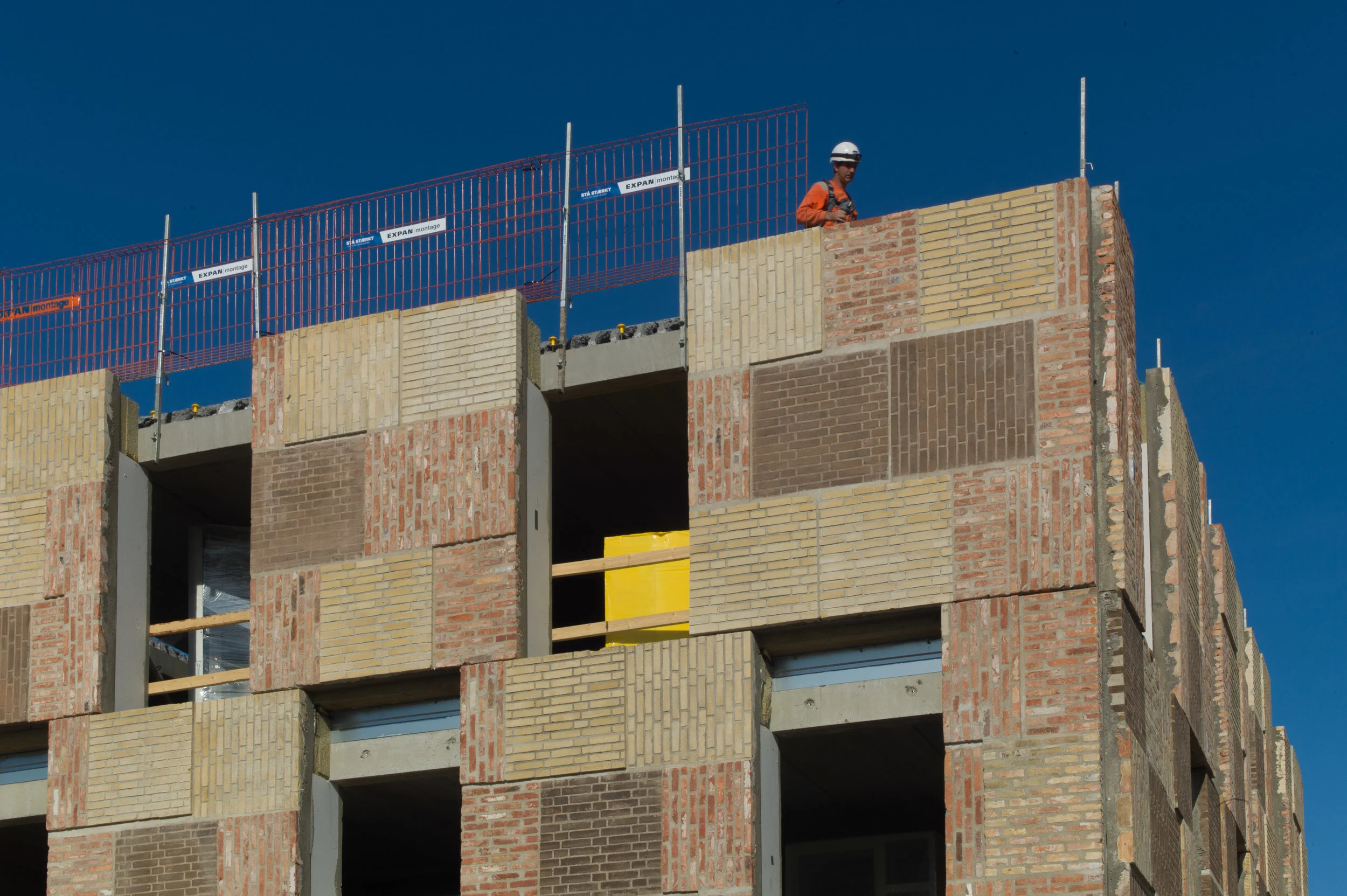
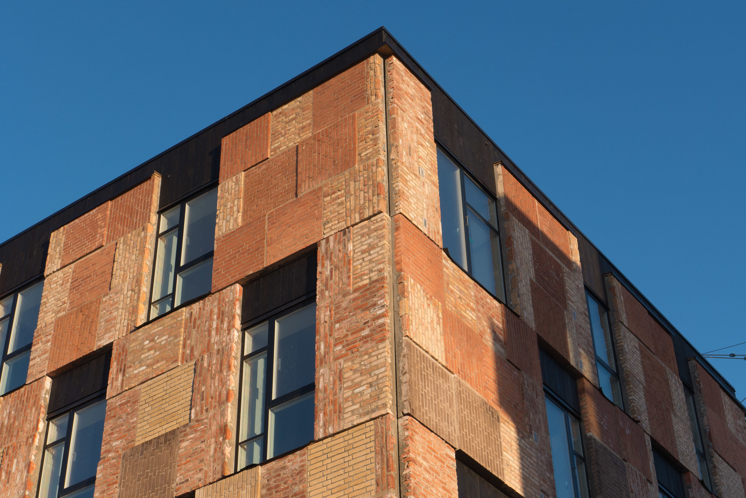
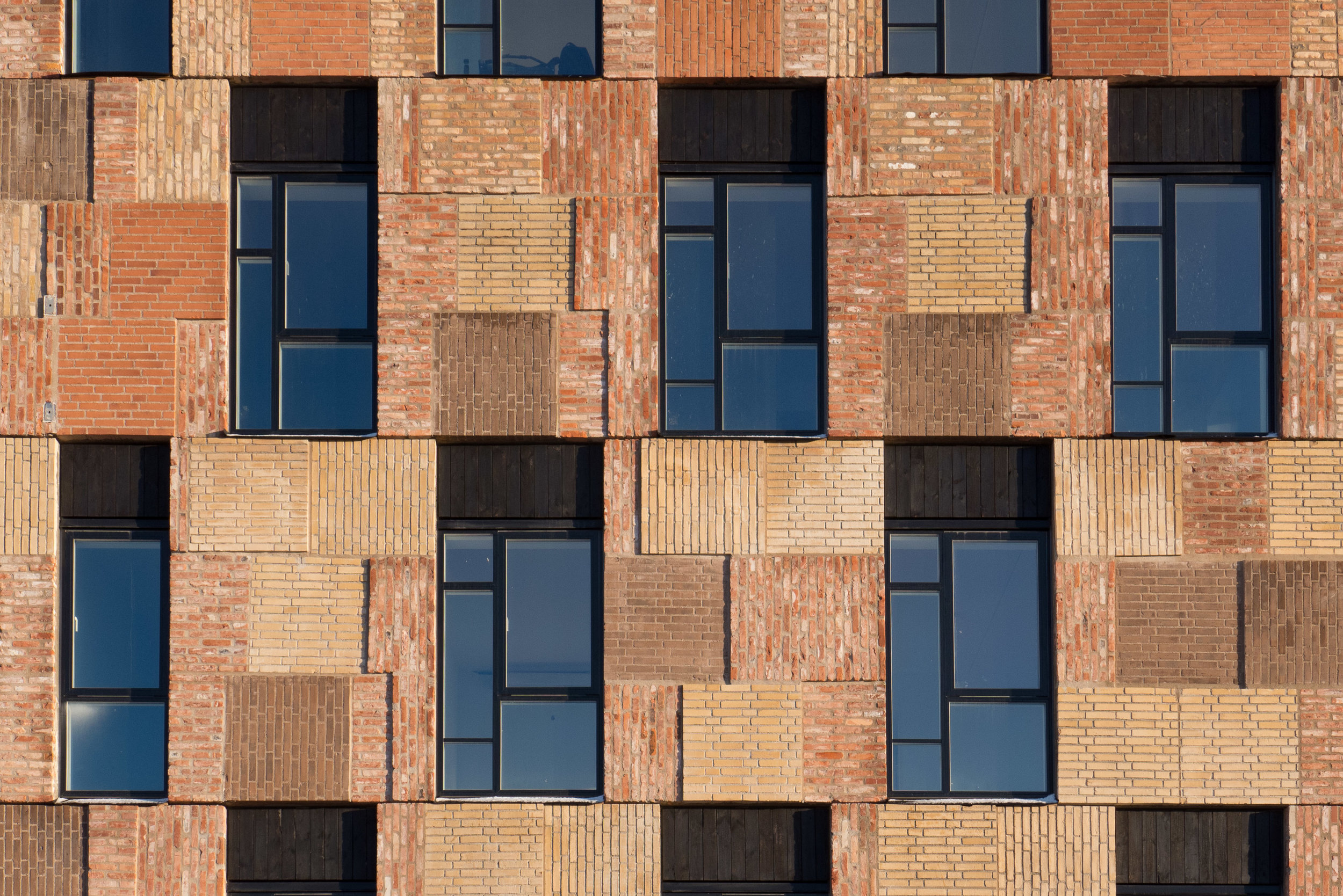
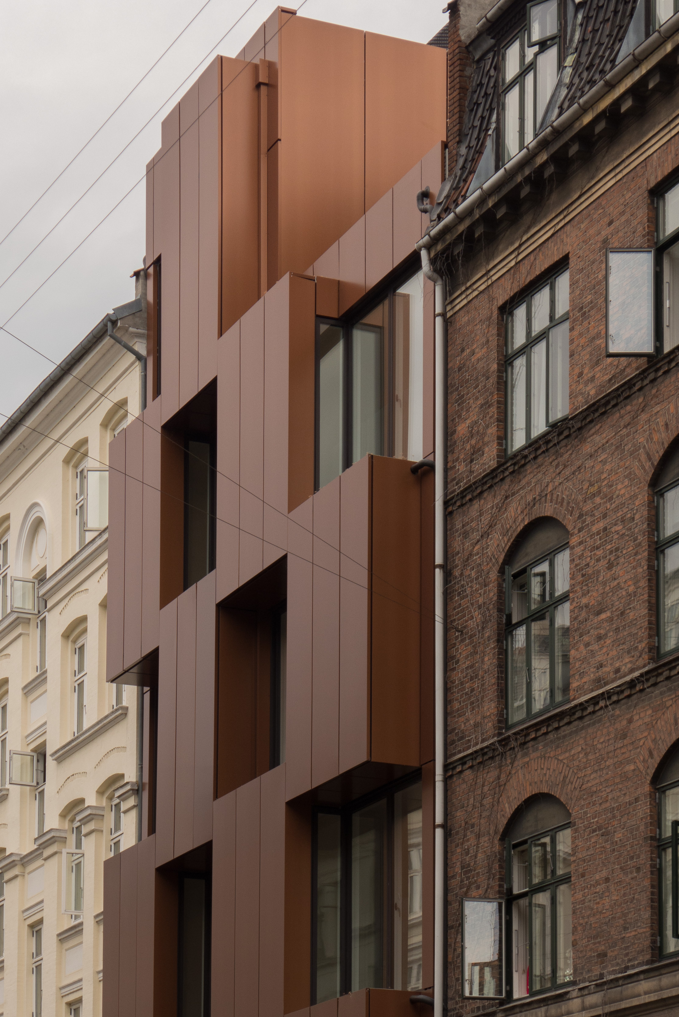
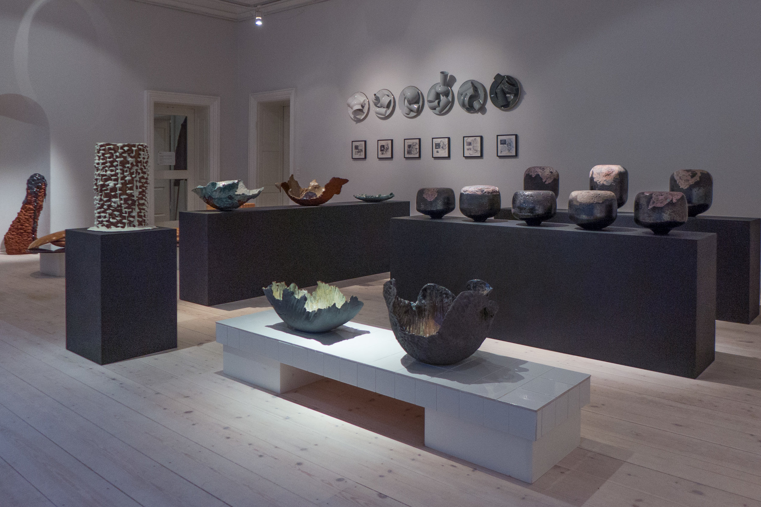
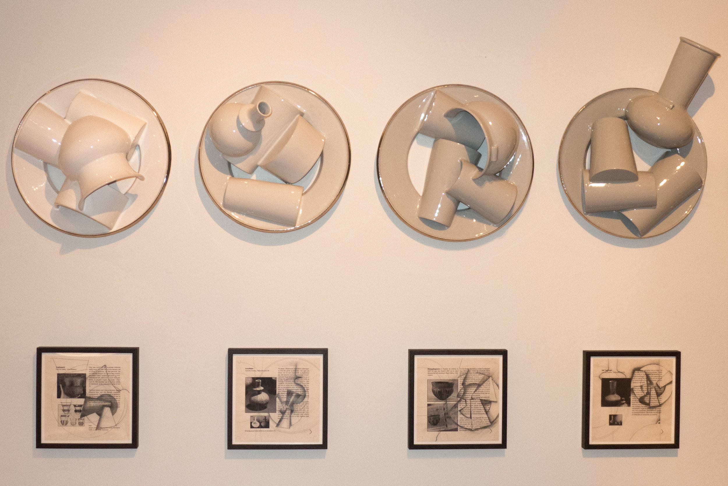
When the Danish Architecture Centre moved into its new building last summer, their first major exhibition was called Welcome Home and looked at Danish housing. The first section to that exhibition was a timeline that gave an overview of the development of housing in Denmark through the century from 1900 and then the main part of the exhibition looked at recent housing … at how the planning and the building of homes is evolving and changing with new requirements for appropriate homes; new configurations of living space; new approaches to conservation and the use of new building materials and new construction methods.

Immediately after that time line - and really part of the introduction - there was an important section that looked at statistics for housing in Denmark … first at data that marks out some of the differences in lifestyle when people own their homes and  when people rent their homes and then at data that demonstrates that there are now many different types of household. And these different family dynamics seem to suggest that different people now need different types of home at different stages in their lives.

Particularly in Denmark, a well-established and strongly democratic country with less-obvious extremes between wealth and poverty than in may countries - it is easy to assume that change is now relatively slow and that a home is simply a home and most people live in much the same way. In fact, statistics show that society is changing quickly … or at least quickly when compared with the time needed for planners, architects and builders to respond by trying to build the homes people want in the places where people want to live.

read more

data to plan for housing needs in the future

Danskerne i det byggede miljø / Danes in the built environment is a detailed annual survey that asks Danes about their homes.

Information for the most recent report was gathered in April 2018, when 7,090 people completed a questionnaire from Kantar Gallup A/S for Bolius. The results have been published by Realdania and the most recent edition is now available on line.

These surveys have been conducted every year since 2012 so now they provide an important data base but have also tracked changing attitudes so they should influence decisions by planners and should prompt architects, builders and designers to assess carefully the real problems people encounter because the surveys show how people perceive problems and show how these are prioritised. 

The survey is published with general points and summaries but most of the information is set out in a large number of tables. These provide a fascinating insight not just into day-to-day practical problems people have and about the way they complete maintenance and repairs but also broader issues about neighbourhoods - about what makes a good neighbourhood - and how all these factors together influence how people rate the quality of their lives.

More than 6 out of 10 Danes believe that their home is important when they consider the quality of their life … for 22% of Danes  their home is of very high importance and for a further 41% their home is of high importance when they consider the quality of their lives.

read more

Realdania - full report to read on line or download as a pdf file


images from the Light Festival in Copenhagen

 
  • the tower of Christiansborg from Frederiksholms Kanal

  • the beam of light from the tower of Nikolaj Kirke across the statue of Bishop Absalon

  • Pyramid Construction by NEXT Cph on the square in front of BLOX

  • Go Boat on the Amager side of the harbour and Eternal Sundown by Mads Vegas at Bølgen, the Wave, at Kalvebod Brygge on the city side of the harbour

  • Chromatic Fields by Jakob Kvist at Louis Poulsen - Kuglegårdsvej

the Light Festival continues at venues around the city
through to 24 February 2019
the official site has a map and details of related events

Copenhagen Light Festival

Store Arne og Lille Arne / Big Arne and Little Arne 2019

These annual awards from Arkitektforeningen or the Danish Association of Architects began in 2007. Winners receive an acrylic statuette that is printed with the face of Arne Jacobsen and hence the name of the awards.

Winners for works from 2018 were announced in a ceremony at BLOX on 18 January 2019.

Store Arne / Big Arne

winner:

Elefanthuset / Elephant House
architects: LETH & GORI

A brick chapel dating from the 1890s that has been restored and converted into an activity centre for patients with cancer. The building was part of the former hospital and old people's home of De Gamles By.

“The project shows an exemplary balance between humbleness and a personal and distinct architectural vision. Precise interventions all characterised by a refined materiality defines the project, that despite its small scale is able to bring new life to the building. By adding new functional layers the transformation opens up for a new era for the historic chapel building. The project is nominated for a vital transformation of a historic building that revitalises the house as an attentive and caring frame that embraces a vulnerable user group.”

Leth & Gori 

nominated for the award

Noma
architects: BIG + Studio David Thulstrup

Hotel Herman K
architects: Dansk Ejendoms Management A/S (inhouse)

Enfamiliehus på Kålagervej / Family house in Kålagervej
architects: Solveig Dara Draško Arkitektur

Tingbjerg Bibliotek og Kulturhus / Tingsbjerg Library and Culture Centre
architects: COBE


Lille Arne / Little Arne

winner:

KADKs kritiske forskning om Københavns udvikling / KADK Critical research on the development of Copenhagen

Atlas of the Copenhagens and Boliger Bebyggelser By / Homes Ensembles City by Peder Dueland Mortensen

- Bolig og velfærd i København / Housing and welfare in Copenhagen

“We are incredibly proud that peers at their own prize, acknowledge research as a key contribution to the architectural profession. We work every day to create the world's best architectural education, and we do so on our unique three-legged knowledge base: the practice of the subject; artistic development and, not least research. Therefore, it really means a great deal to us that with this prize research is appreciated on an equal footing with the other architectural disciplines.”

Katrine Lotz - Head of the Department of Architecture, City and Landscape at KADK - the Royal Danish Academy of Fine Arts, Schools of Architecture, Design and Conservation.

KADK

nominated for the award:

Klimaflisen /Climate tiles
architects: Tredje Natur

Principper for cirkulært byggeri /Principles of circular construction
Fællestegnestuen GXN, Lendager and Vandkunsten

Resilient Aesthetics / Resilient Aesthetics
Forskningsindsats v. lektor Nicolai Bo Andersen, KADK


There are photographs and brief descriptions of the nominated buildings and work on the site of the Association of Architects.

Arkitektforeningen / the Danish Association of Architects


Femern tunnel link


Authorities in Schleswig-Holstein have officially approved the German part of the Femern link so work can now start on constructing a rail and road tunnel between Germany and Denmark.

It will be an immersed tunnel - the longest in the world of this type - with the sections constructed at a new production site with dry docks on the Danish side and they will then towed out by tug and lowered into a trench across the sea bed that will be up to 60 metres wide and 16 metres deep.

This is an amazing engineering project - the largest undertaken in Denmark - and I would recommend watching the video animation on the Femern A/S site to see how the sections of tunnel will be made and taken out to the trench.

This is also, of course, a major design project that requires expertise in road planning and for the design of infrastructure at each end and there will be an important design project for the operation stage for signage, marketing, branding and so on.

With completion planned for 2028, the tunnel will be 18 kilometres long and will link Puttgarden on the German island of Fehmarn to Rødbyhavn, on the south coast of the Danish island of Lolland, and the journey through the tunnel will take 10 minutes in a car and 7 minutes for the train.

Many make the trip across now by using the regular ferry service but for heavy freight traffic - now taken up through Jylland/Jutland and across the bridges linking to Fyn and then on to Sjælland - the tunnel will shorten the journey by 160 kilometres.

This may mean more tourists will arrive in Copenhagen by car but the real impact will be for commercial traffic and therefore, of course, for the development of the region of eastern Denmark and the south part of Sweden.

Already on the agenda is the construction of a new metro line to Malmö to run through a tunnel parallel to the Øresund bridge. For anyone commuting between the two cities, this would not make journey time shorter than the current rail journey over the bridge but the new Femern link between Germany and Denmark will mean many more freight trains crossing to and from Sweden so a metro link would relieve some of the pressure on the bridge and planners and governments are also considering a fixed link further north up the sound between Helsingør on the Danish side and Helsingborg in Sweden.


the Fehmarnbelt tunnel

next lines for the metro in Copenhagen


construction work where the new metro line at Nordhavn emerges from underground and rises up to the new station at the start of the elevated section of track

the new station from Orientkaj

Even before the new inner-city circle line of the metro in Copenhagen has opened, there are ongoing discussions about the stage after the next stage - if you follow what I mean!

Construction work is progressing fast on the spur line of the metro that will go out to Nordhavn - the north harbour district - and, eventually, on out to the cruise ship terminals and, in the other direction, the south spur down to the south harbour - the Sydhavnslinjen - is also moving forward fast with the green boarding up around the site of the excavations for the new station at Enghave Brygge near the power station. That line will continue on to Ny Ellebjerg where it will link with the main suburban train lines and both these metro lines should open in 2025.

So, the next new section of metro, and still at the planning stage, could be an M6 line to form an arc across the top of the island of Amager. It would link the two original metro lines that head south down through Amager - so the M1 down to Ørestad and Vestamager through Islands Brygge and the M2 line down to the airport through Amagerbro - but will also continue west and through a tunnel to re-join the circle line and to the east, beyond a new station at Refshaleøen, the east end of the new line will also go under the harbour - either to form a link back to the new circle line at Østerport or to run north to Nordhavn.

Even more ambitious are proposals for a further new line out from the M6 - an M7 line - that could take the metro under the Øresund to Malmö in a new tunnel some 22 kilometres long to be excavated on a line north of the Øresund Bridge.

From Copenhagen central station to Malmö central station would then take about 23 minutes and the line could be finished and opened by 2035.

Obviously, this will be another amazing engineering project in the city but, more than that, such major infrastructure will influence how the city will work in the future - so which areas will prosper and change because of these new fast transport connections - and it will form the framework for major developments and major expansion of the city through to the middle of the century and on.


update Copenhagen metro

There have been rather a lot of posts here about the new metro line - the new Cityringen in Copenhagen - that will open this summer but that is not because I'm some sort of train buff.

What does interest me is the design aspects of the new metro - so how much the design of the new stations differs from the existing stations and how graphics and signs will have changed and that also relates closely to the impact that the new stations will have on broader planning issues for the city … so specifically how new stations and new patterns of travel will effect the street scape.

The work by COBE at Nørreport station was seminal. There a busy interchange where the existing metro line goes under a major station for suburban trains, that itself is underground, created what is the busiest transport hub in the country. The street above, with heavy bus and car and pedestrian traffic, crossed by well-used bike routes, created a difficult and in fact an unpleasant urban space. The crunch point came with extensive improvements to streets and a large square with popular food halls a block north of the station that pull even more people to the area.

A complete rearrangement of the street and paving above the rail station and metro station, completed in 2015, started with a detailed assessment of how people moved across, along and under the space.

In much the same way, the new Cityringen has meant the complete reorganisation of the street level for major interchanges at Rådhuspladsen - the square with the city hall - as well as in the centre of Frederiksberg; at the suburban rail stations of Nørrebro and Østerport and at Kongens Nytorv which will surely become the main hub for tourists and visitors and for cultural events.

The new line includes key stations for people going to the parliament buildings from Gammel Strand and to the important tourist area around Marmorkirken - the Marble Church - and Fælledparken the main public open space and the national football stadium from the new station at Trianglen and the park and the palace and gardens in Frederiksberg from the station at Frederiksberg Allé. Finally, but probably not least, new metro stations at Skjolds Plads, Nuuks Plads and Enghave Plads will make apartments in those areas even more of an attraction for young families wanting to live in the city but not able to afford prices in the centre.

Cobbles are going back down and trees are being planted and the metro stations themselves are as subtle as possible - marked by low walls around steps down and with discrete clear-glass structures to throw light down onto platforms below - so all designed to drop back into the streetscape but the new line will have a profound impact on the way people use and move through the streets and squares around each station.

Kongens Nytorv … steps down to the metro on the west side of the square, close to the east end of the walking street. Most of the boarding is down and it looks as if the cobbles or setts are about to be relaid. The theatre and firther round Nyhavn are to the left and the department store Magasin is further down the block on the right


Gammel Strand is now mostly clear of boarding and the rebuilt wall of the quay has been uncovered and the glass tower of the lift down to the metro platforms is in place,

Gammel Strand 12 years ago … the antique market will not return as too much of the long triangular space here has been taken over by the steps and the light wells of the station and one down side for spaces like this is that inevitably they have to have large areas given over to bikes left at street level.


the metro, the bus and the harbour ferry in Copenhagen


With the start of a new year this is clearly a time for new plans and new schemes in the city. On the 24th January, the government launched a reorganisation of public transport in Copenhagen.

Metroselskabet - the company who now control the city Metro - will be combined with Movia who run city bus services and the Havnebuser or harbour ferry service.

The new overarching organisation is to be called Hovestadens Offentlige Transport / Metropolitan Public Transport or HOT for short and will cover the provision of transport across 34 municipalities.

Will HOT replace or at least change the responsibilities of DOT - Din Offentlige Transport / Your Public Transport that was set up in 2014? This was formed by DSB - the operators of regional trains - with Movia and Metroselskabet in order to coordinate strategy and to provide a single access point for passengers who need information about ticketing and times and so on across the system.

The reorganisation appears to be a sensible attempt to coordinate transport across the city and certainly at a sensible time … so before the completion and the opening of the new inner ring of the metro. Metroselskabet was set up by the city and by the port authority and has been organised primarily for the construction work and for the completion and opening of the metro system and not for the ongoing running of the metro system.

However, there has already been criticism - not least from Movia.

Current transport is organised across the region - so across Sjæland - and includes the suburban rail system but at this stage, as far as I can see, the S trains will not be included in the remit of the new body. Some have also been critical because this does not include any new money so seems to be simply about co-ordination and synchronisation and does not tackle capacity or improvements as such with no provision for additional equipment. This is important because the current metro line is running at almost full capacity … good in terms of the economics but not so good for passenger comfort.

To be fair, it may well be better to make further decisions after the new metro line opens this summer because the new line is bound to establish very different travel patterns for people in the city … at the very least it creates important new interchange points for swapping between one mode of transport and another and in the months after the opening will certainly reveal new congestion points in the system.

Metroselskabet
Movia
DOT

note:

Back in June, Movia announced that new harbour ferries will go into service in January 2020. These will be electric - recharging overnight but also topping up batteries at both ends of the route at Refshaleøen and Teglholmen. The new service will run every 30 minutes. As the service carries 425,000 passengers each year, this is an important and - with so many new apartments being built at the south harbour - a significant part of the city transport system.

well-known Copenhagen landmark could be under threat.

The image of a girl on a bicycle on the gable of a building in Nørrebro was painted in 1993 by the Finnish artist Seppo Mattinen who was born in 1930.

Apparently the building is now owned by a relatively new housing association and they do not have the funds to restore or maintain the painting. Unfortunately, it has been vandalised several times so keeping the painting does mean quite a substantial and ongoing financial commitment. In a prominent location just before the lakes as you head into the city, it would certainly be missed by many if it cannot be kept.

update:

latest news is a proposal to take down the painting and move it to a new site

Gable art-6.jpg

Patterns Shimmer Scenes - photographs by Joachim Koester at Statens Museum for Kunst


I was at the opening for the exhibition of work by Joachim Koester but decided, on balance, that the subjects shown in his series of images are not close enough to the city or to architecture and design in Denmark to be relevant for a review here but going back recently, to spend more time in the exhibition on a quieter day, I realise I was wrong.

It is not the subject of the photographs, although those are interesting, but it is about ways of seeing - about having a viewpoint - and it's about the selection of that view point, the artist editing the scene, to create or, at least, to hint at or imply a narrative, that is an important lesson.

Koester was born in Copenhagen in 1962 and studied at the Schools of Visual Arts at The Royal Danish Academy of Fine Arts and he works now with photography, sound and video.

The images shown in Patterns Shimmer Scenes are presented in clear groups and come from very specific projects including with others:

  • Some Boarded Up Houses that is a series of photographs taken in the United States after the financial crash of 2007-2009

  • The American artist Ed Ruscha documented a number of empty plots in 1970 and collected them in a book Real Estate Opportunities. Koester recorded some of the same plots in his work Occupied Plots, Abandoned Futures Twelve (Former) Real Estate Opportunities 2007.

  • photographs taken in Kaliningrad follow the route of a daily walk taken by the philosopher Immanuel Kant when he lived in the city that was then called Königsberg

  • a series of photographs of amazing buildings in Calcutta traces marked changes from an Imperial past - where affluence was based in part on money from the British East India Company trading opium that was grown in Afghanistan and shipped on by the Company to China. *

These are “enigmatic images of abandoned places with stories that reveal incredible pasts” and generally record desolation and waste. Apart from the photographs from Calcutta, there are rarely people in the images. Particularly in the American photographs, Koester takes his photographs straight on to the façade, and with parallax removed, and sharp detail across the image, he removes or flattens the sense of perspective or distance so the buildings become specimens to be examined closely and, with boarded up windows and empty yards, the photographs expose decline and abandonment that has taken place over years or over decades.

Some of the photographs are selenium toned silver gelatine prints that have deep rich tones of warm greys and that also creates a curious sense of detachment in a world where now it seems anyone and everyone takes so many colour photos.

Many of the buildings are boarded up - most look unoccupied - so, above all, the photographs record waste … how humans construct buildings that are extravagant, are expressions of wealth or of optimism or both but they are abandoned and history or events leave them stranded.


note:

* a recent article in The Guardian included the astounding statistic that the British shipping company P&O transported 632,000 tons of opium from Bengal to China.


the exhibition continues at Statens Museum for Kunst in Copenhagen until 3 February 2019 


more images of the city in the snow

L1054613.jpg


Just a few more photographs of Copenhagen in the snow.

This view of the recently-completed work on the public square in front of Christiansborg shows the new arrangement rather more clearly than the photographs with the recent post.

The dome of the Marble Church was taken in the middle of the afternoon. It's not the best of photographs but it does show how the snow reduces the buildings and the roof scape to soft outlines in grey and is possibly a better way of judging the shapes and the relationships of buildings without the distraction of colour.

From the courtyard of the palace of Charlottenborg, there is a view out across the square of Kongens Nytorv to the equestrian statue of Christian V at the centre. The soft light and the lack of traffic emphasises the distance across this huge public space - the largest square in the city - and reveals a strong central cross axis in this complex area of large-scale city planning. This square is where the city turns through an angle from the line that runs roughly west to east running across the city through the old city gates - the east gate was on the far side of the square - to a new alignment of the new town - of the grid of streets of Frederiksstaden - laid out through the 18th century with the main streets running out to the north east towards the Kastellet.

The Dursley Pedersen bike in the snow is just a bit of self indulgence … you rarely see them out in the wild and the snow across the road behind emphasises the geometry of that extraordinary frame.

snow in the city


We had fairly heavy snow today that settled and, on days like this, people tend to stay in so there is less traffic, certainly fewer bikes, and sounds are muffled.

It's a good time to take photographs of the city and not just because it makes a pretty picture.

If the cloud lifts, and the sun comes out in a clear sky, it's different because then the colours seem more intense and deeper with light reflected up off the snow but when snow is falling, colours are muted to greys and soft mauves and then what you see is a simplification of the solid blocks with strong lines and edges emerging and it is the underlying geometry of the streetscape that survives … the blocks and the mass of the city.


UN 17 village on Amager by Lendager

January 2019 - the site for the UN17 Village by Lendager Group - the view is looking north along what is called Promenade - the west boundary of Ørestad - Kalvebod Fælled is to the left

Recently, it was announced that housing on the last large plot in Ørestad Syd where building work has not started will be designed by the Lendager Group and Årstiderne Arkitekter and the engineers Arup.

At the south-west corner of Ørestad, it is perhaps the most prominent site, in this major development area in Copenhagen with the open ground of Kalvebod Fælled immediately to the west and to the south an artificial lake and then extensive views out over pastures and meadow.

Given the character of the site, it seems appropriate that this project should go to an architectural practice that is establishing its reputation around its innovative approach to sustainability. In fact, the large development of apartment buildings here is being described as a village and promoted as the first development project in the world that will address all 17 of the UN Sustainable Development Goals.

Concrete wood and glass used in the new construction will be recycled materials but also the housing will be designed to provide an opportunity for the residents to have a sustainable lifestyle.

There will be 400 new homes here in five housing blocks with courtyards and rooftop gardens. Rainwater will be collected with up to 1.5 million litres of water recycled every year.

It is planned to be a mixed development - a very mixed development - with 37 different arrangements of accommodation - called typologies - with family dwellings; co living and homes for the elderly along with communal space; a conference centre to host sustainability events; an organic restaurant and greenhouses with plans for schemes for food sharing.

When completed, there will be homes here for 800 people and 100 jobs.

Initial drawings show that the design will break away from the grim style of many of the recent and nearby apartment developments in Ørestad, replacing flat facades of dark brick with what appears to be a regular and exposed framework of pale concrete piers and beams with balconies and glass set back within that grid and although high at the north end, the blocks will step down in a series of terraces so they will be lower in height towards the lake and the open common.

UN17 Village, Lendager Group


drawings from Lendager Group


UN17 village overlooking Kalvebod Fælled

With the area of Ørestad marked by a dotted white line and the plot for housing designed by Lendager at the south-west corner marked in orange - this aerial view of Amager was produced simply to show the site and the context.

From the air - and, of course, on the ground - you can see how the proposed housing will be at a key point between the densely built housing blocks of Ørestad and the open common of Kalvebod Fælled.

It also shows the extent of Ørestad for readers who have not been to Copenhagen or do not know this part of the city although, actually, the 8 Building by Bjarke Ingels, just to the east of the Lengager plot and also looking across the common, is now a tourist attraction.

The position and the extent of Copenhagen airport on the east side of Amager is obvious but what might not be so obvious is the odd small tongue in the sea in the centre of the east or right side. That is the end (or start) of the rail and motorway bridge linking Copenhagen and Malmö. The road and rail links drop down into a tunnel between the shore and the bridge.

The road and the rail links run east west and straight through the centre of Ørestad which is why Ørestad City, with a rail and metro interchange, was planned as a major business centre.

At the centre, at the top of Amager, are the distinct lakes and 17th-century defences around Christianshavn and above that part of the historic centre of Copenhagen.

It is the first time I have produced a map of this part of the city for this blog and I realised that I have a slightly distorted view of Ørestad. Over the last five years or so I have done the trip out to this part of the city at fairly regular intervals - partly because I like having a coffee in the lakeside restaurant in the 8 Building with a view out over the common - but mainly because I want to observe and to photograph the area as it develops. A standard trip is to get the metro out to the end of the line, have a coffee and then walk back to where I live in Christianshavn exploring and taking photos.

The metro emerges from its tunnel alongside the university area at the north end of Ørestad and then curves round past the distinctive blue cube of the Danish Radio concert hall before running the full length of Ørestad on an elevated concrete track.

The image I have is of a very large or rather a very long and densely built development but flanked by the much older areas of small plots and gardens and individual houses to the east and open common land to the west and south. That much is true but somehow I had set in my mind that Ørestad was almost a sixth digit on the famous Copenhagen Finger Plan … even if that seems like a slightly perverse understanding of anatomy. But it's not a finger. The Fingers are much much larger, and much longer and much more suburban in character, so each finger is a string of housing and centres for shopping and commerce and based along the lines of the suburban railway. I'm not sure how Ørestad fits in my mind map of the city now … maybe a name tag hung from the wrist.

Resource Rows, Ørestad Syd by Lendager

June 2018 - rapid progress


A major housing project in Ørestad by Lendager is moving fast towards completion.

This is housing around an enclosed courtyard on a plot about 250 metres south of the new Royal Arena

It is a wide site from east to west but relatively short north to south and there will be three-storey row houses along both long sides and taller blocks across the shorter east and west ends of the courtyard.

Drawings for the scheme show extensive planting in the courtyard with well-established trees and with climbers or plants on the walls of the courtyard and extensive gardens and green houses across the roof.

drawing by Lendager Group

But it seems, from walking around the site, that there could be a very real problems with shadow across the building and across the courtyard. This is not just a problem with this development but a significant problem across the district.

A masterplan for this part of Ørestad was produced by the Finnish company ARKKI in 1995 and although the specific form of key buildings - like the new Royal Arena and the recently completed school - have changed from the layout shown then, the arrangement of roads and building plots has survived. However, the housing and apartments as built, over the last year or so, appear to be much higher than originally planned with more floor levels - to increase housing density - so the buildings have a much longer and unbroken area of shadow and that is obviously much more of a problem at this time of year when the sun, although often bright and in a clear sky, is low in the sky.

Here, there are tall buildings immediately to the south with just a narrow road between the two developments but the higher blocks at the east and west ends of the Lendager building itself will also throw shadows across the courtyard from the early morning and the evening sun.

To be more positive, the really striking feature of the building will be the facing panels of recycled brickwork. These are not old bricks that have been salvaged and cleaned and re-laid but they have been cut in panels from buildings as they were demolished … in this case buildings on the Carlsberg site in Copenhagen.

Old lime mortars tends to crumble away as a building is demolished and individual bricks can be cleaned and reused but modern mortar is so tough that bricks are damaged or shatter if you try to salvage them individually.

This method of creating facing panels for new buildings has been shown by Lendager at exhibitions at the Danish Architecture Centre.


Resource Rows, Lendager Group

January 2019 - a much clearer idea of the final appearance with windows fitted and the strong black skyline but note the deep shadow across the south-facing row houses on a bright winter day early afternoon - general view taken from the south-west


Nansensgade 57


This plot on Nansensgade - a street a few blocks out from Nørreport - has been empty since the late 1980s … simply a gap in the street frontage with a garden behind a fence.

The new building here was designed by Christensen & Co and completed last summer.

Built by the city social services, the apartments are for vulnerable young people and are used as a staging post to give them help and support before they move on to more independent lives.

It is a narrow plot, so the entrance door is set off to one side - leaving space for one shop on the ground floor and the staircase is at the back, turned to run up across the garden side. On the floors above, the apartments are arranged to follow the well-established Copenhagen form with two apartments at each level, one to the right and one to the left, with the pattern broken at the top floor where there is a ninth apartments on one side and a roof terrace to the other.

To the street the façade has a checkerboard pattern of plain copper panels that step forward boldly to give privacy to the balconies of each apartment and narrow windows in the sides give views up and down this lively street.

My career has been spent working on historic architecture and conservation but that does mean that I can't appreciate good modern architecture even if, as here in a good street of good buildings with a distinct character, it seems to break many of the conventions.

Breaking rules or breaking conventions or, as here, breaking forward of the regular line of the facades along the street, is fine if it's done knowingly. Rules and conventions should not be broken just for the sake of it but here it clearly adds a dynamic to the street frontage and the choice of material and the colour is spot on.

Christensen & Co


new information panels on the Metro


Metro stations in Copenhagen are to have new flat-screen information panels on the platforms and these are part of a new information system.

The first of these new signs were installed at Vestamager and Ørestad at the end of 2018 but all the old-style signs will be replaced in all the stations over the next few months.

This is part of the preparations for July this year when Cityringen - a new inner city line - is to open.

It will be interesting to see not just how platforms and linking staircases are laid out at the new main interchanges - Kongens Nytorv will be an exceptionally busy station where the exiting lines and the new line cross - but also interesting to see where signs are placed and how signs and graphics will be used to control and direct the movement of people.

Commuters tend to move fast on auto pilot but at Kongens Nytorv, but also at Nørreport and at the new station at the City Hall, commuters will come up hard and fast against huge numbers of tourists who are new to the city and its transport systems and that's where that interface between design and human behaviour is crucial.

Can anyone explain why people stop in their tracks at the most inconvenient places - like immediately at the top of an escalator or the bottom of a flight of steps - to look at a map or gaze up to the ceiling? Are they looking for divine intervention?

There should be a new code of conduct … if you are lost step to the side.

And actually the same should apply when your mobile phone rings. Watch. It's amazing just how many people either stop walking wherever they are or at best slow down noticeably when their phone rings. I'm not sure that signs with even the cleverest graphics could deal with that problem.

Bornholms Stemme / Voice of Bornholm

glass by Morten Klitgaard


Bornholms Stemme / Voice of Bornholm - an exhibition on now at Officinet - the gallery of Danske Kunsthåndværkere & Designere in Bredgade in Copenhagen - has been curated and arranged by Bettina Køppe of the gallery Køppe Contemporary objects in Nexø on the island of Bornholm.

Bornholm is the large Danish Island in the Baltic that is about 35 kilometres off the south coast of Sweden. It's about 30 kilometres wide and possibly 40 kilometres from north to south and is renowned for it's landscape and for it's archaeology … with its position it controlled traffic through this part of the Baltic with major medieval fortresses. It's important not just for tourism but for artists and crafts makers who live here and the Royal Danish Academy of Fine Arts schools of glass and ceramics are based on Bornholm. 

The exhibition has works from four major ceramicists - Michael Geertsen, Nynne Rosenkrantz Christiansen, Christina Schou Christensen, and Jeanette List Amstrup - pieces by the glass maker Morten Klitgaard - works in wood by Tyge Axel Holm and jewellery by Kaori Juzu and Per Suntum.

the exhibition continues at Officinet until 26 January 2019
there are profiles of the artists and the works on Køppe gallery site Voice of Bornholm
Køppe Contemporary Objects

detail of Barrel Ceramic by Chistina Schou Christensen - top right
Stoneage Decon ceramics and works on paper by Michael Geertsen - bottom left
ceramic by Nynne Ronsenkrantz Christiansen - bottom right


skud på stammen at design werck in Copenhagen

Skud på Stammen - an exhibition of furniture by students from NEXT - the technical training college in Copenhagen - has just opened at Design Werck.

The students work in partnership with designers to produce the furniture to demonstrate skills and trial new ideas.

the exhibition continues until 10 March 2019

NEXT
Skud på Stammen
Design Werck, Krudløbsvej 12, 1439 København

note: Design Werck does not open on Mondays or Tuesdays