climate change and sustainability in Denmark …. information on line
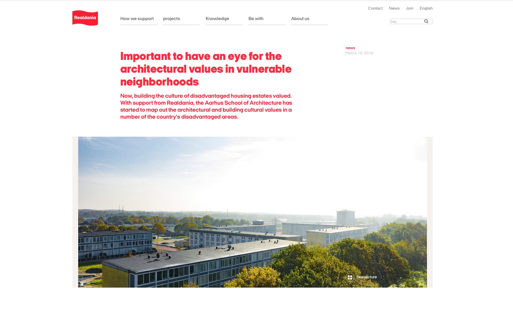
 

Many of the major reports on new policies to tackle climate change and directives on sustainability from the Danish government and by city councils and by organisations such as Realdania or Danish Industry are published on line and often published in English although it is now relatively easy to translate even pdf files from Danish using Google.

read more

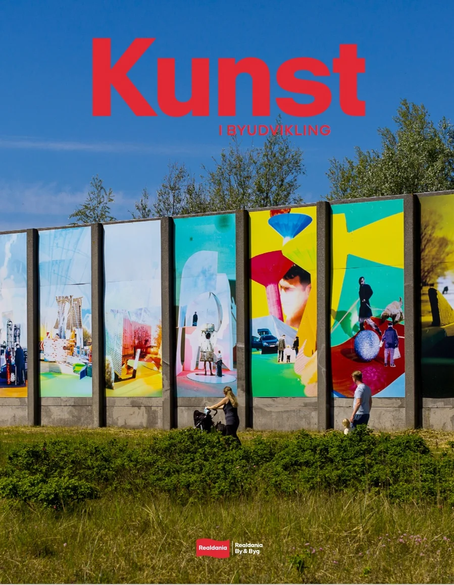
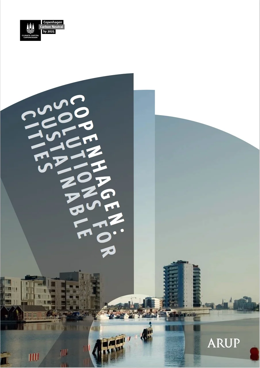
Here the images of the report cover are links to the on-line site where the report can be read and, in most cases, downloaded as a pdf file.


Lokalplanner i København

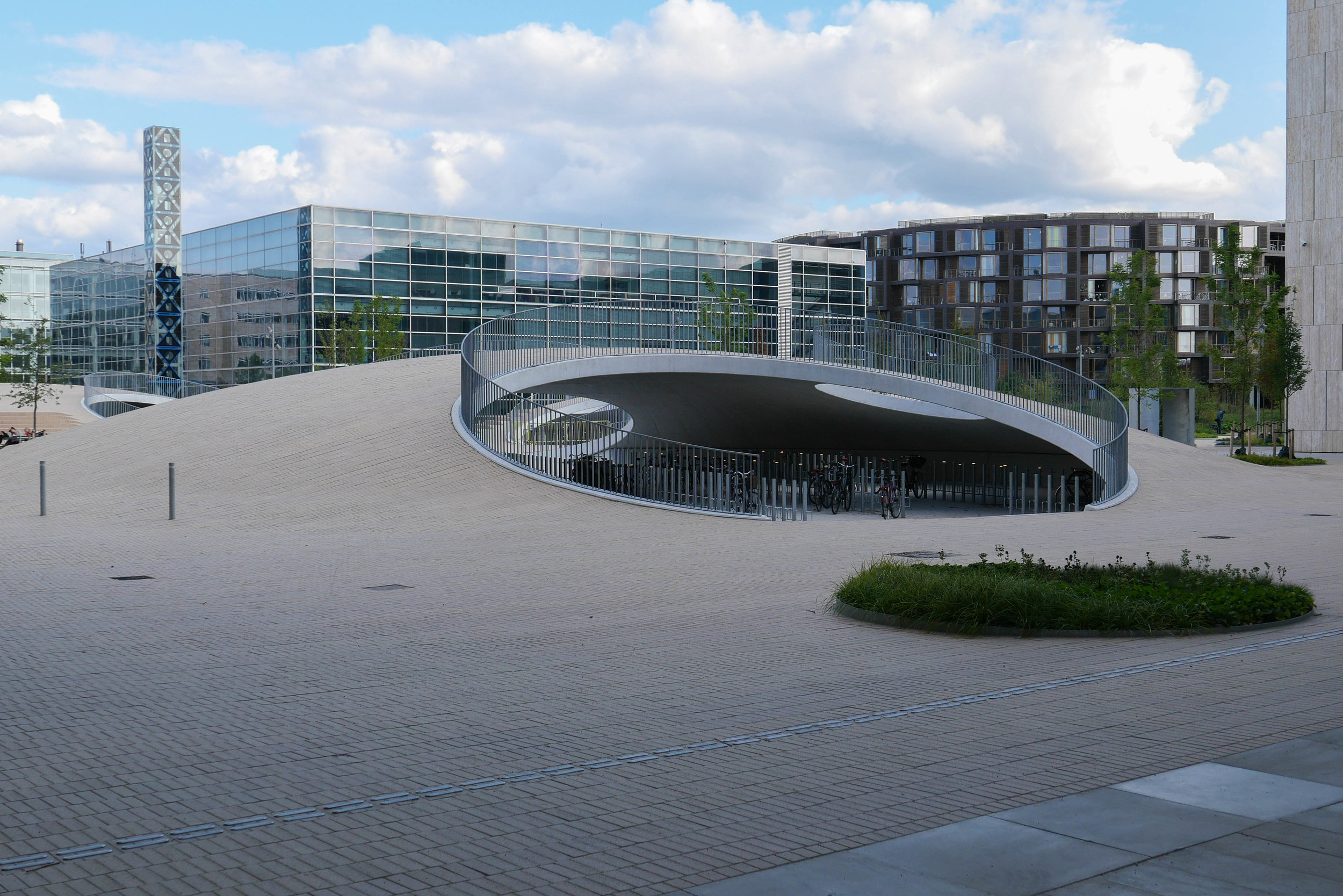
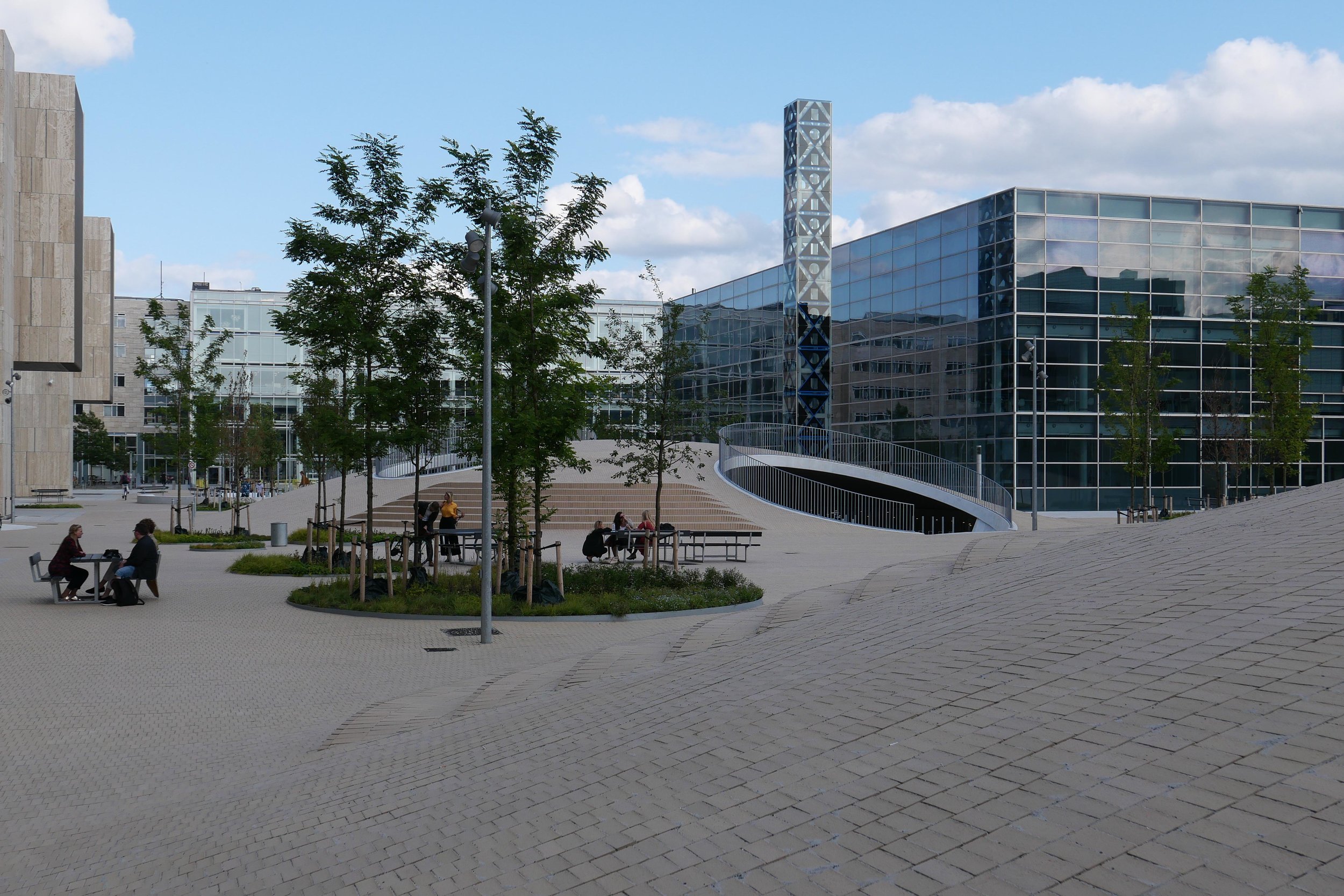
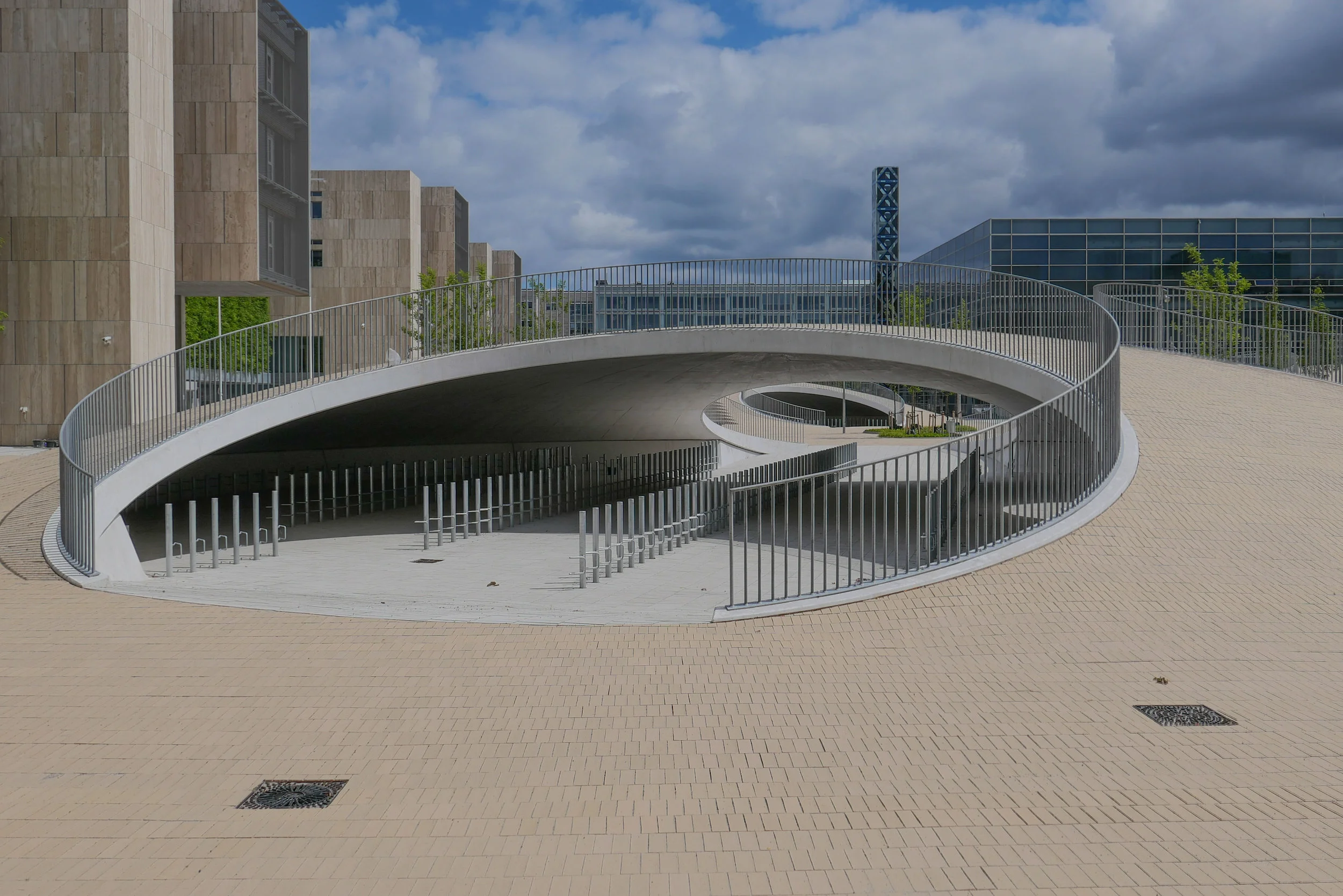
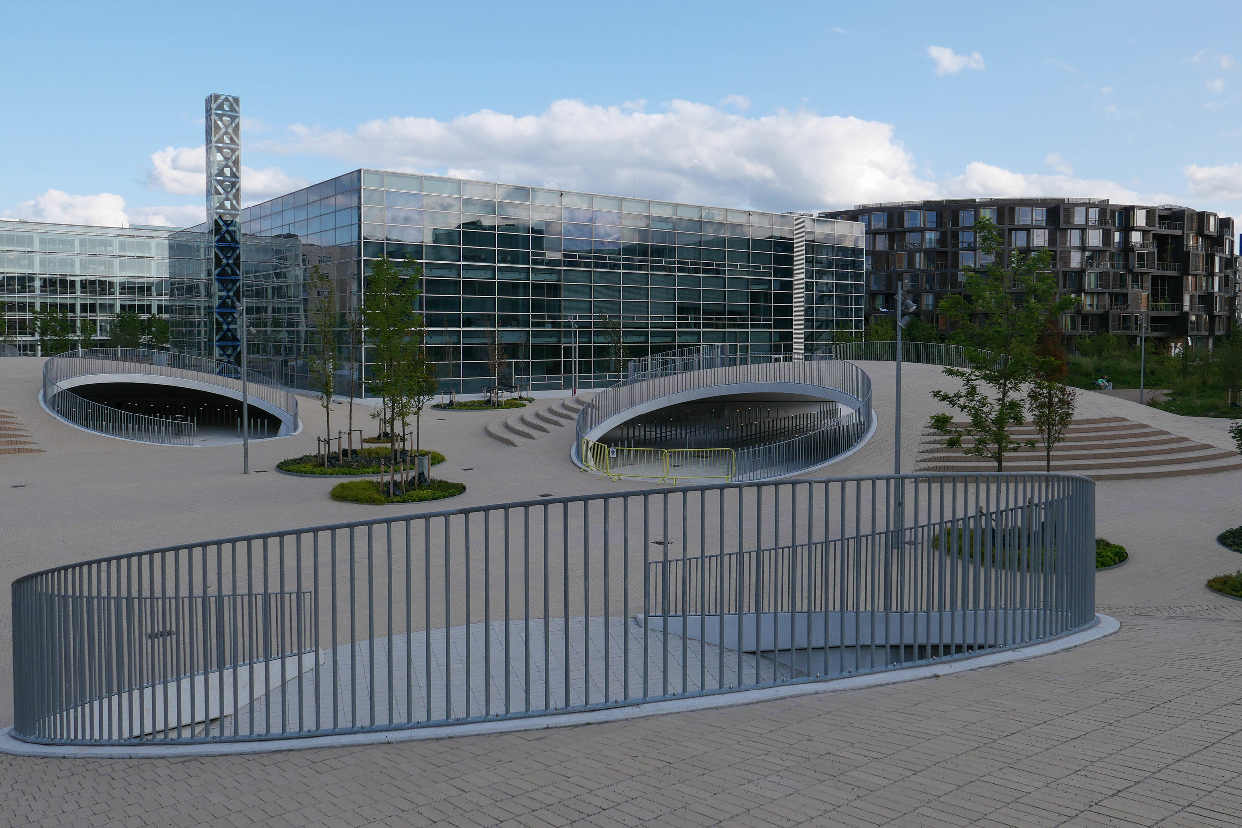
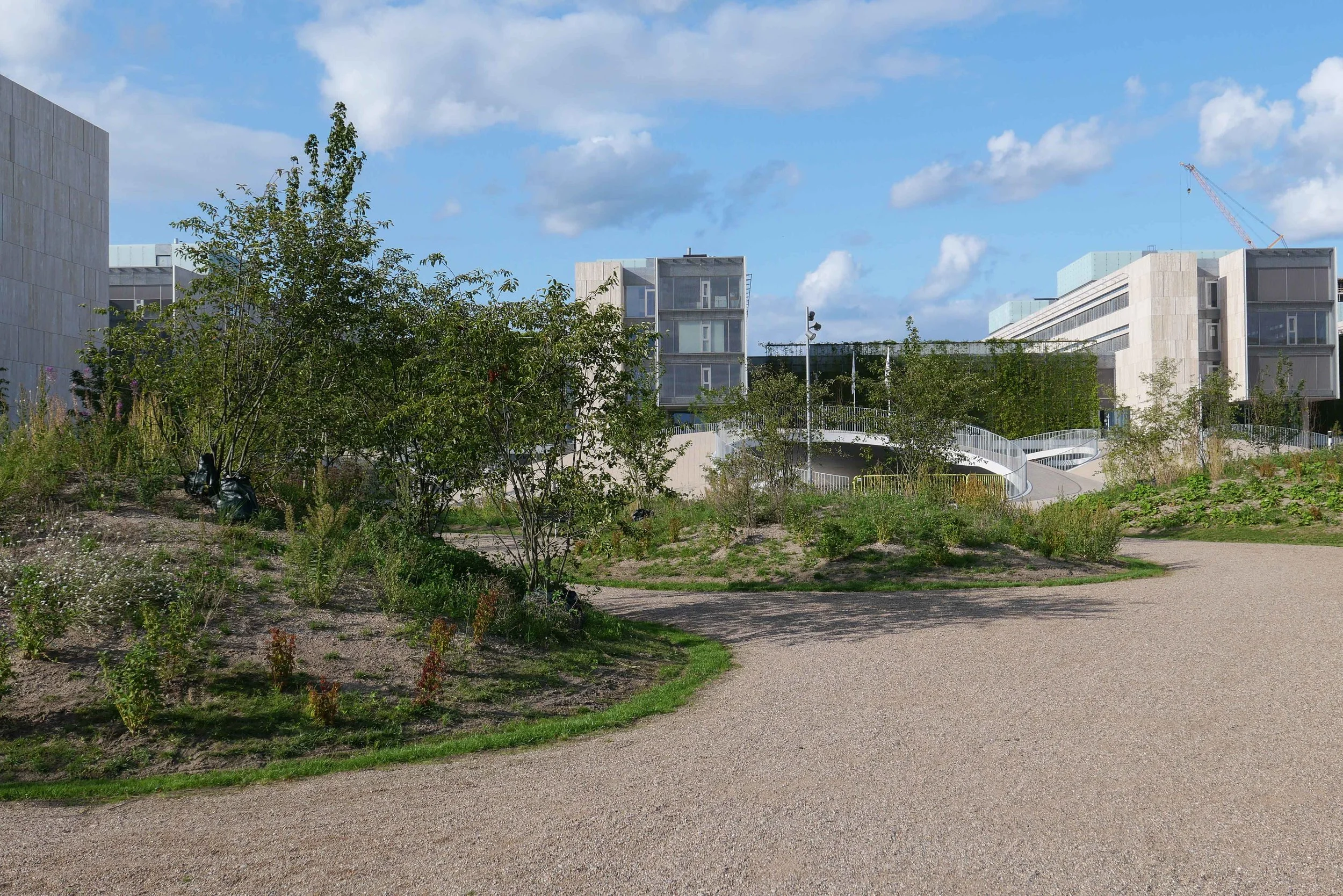
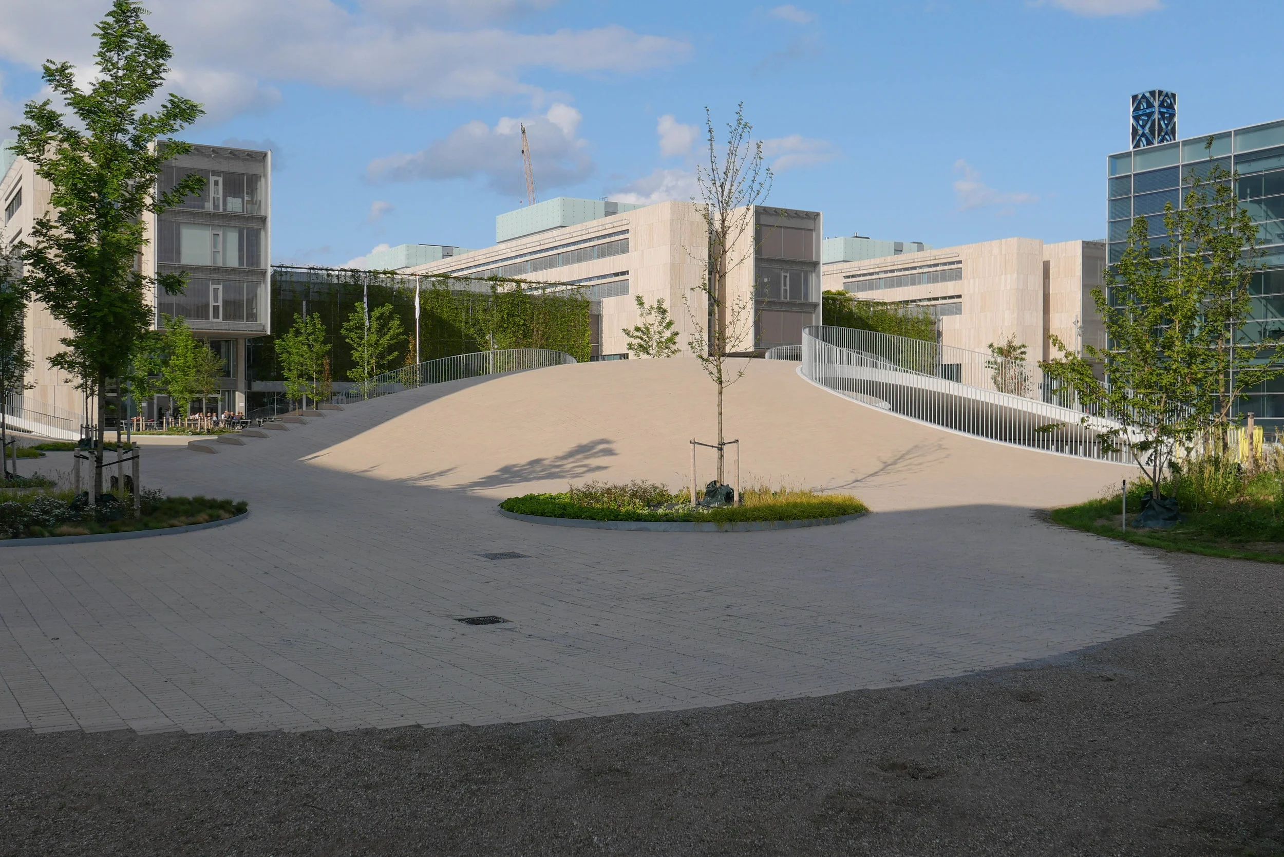
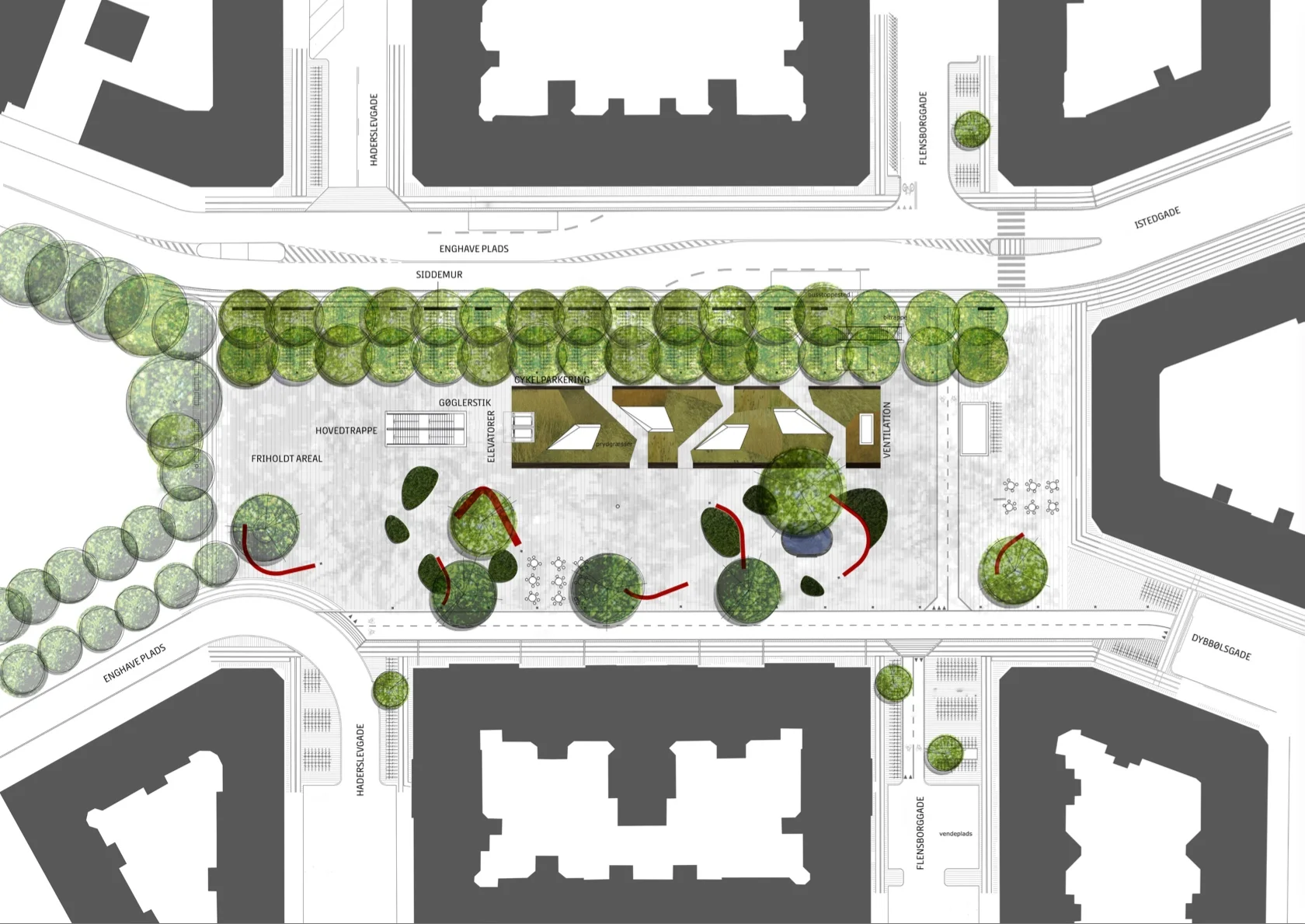
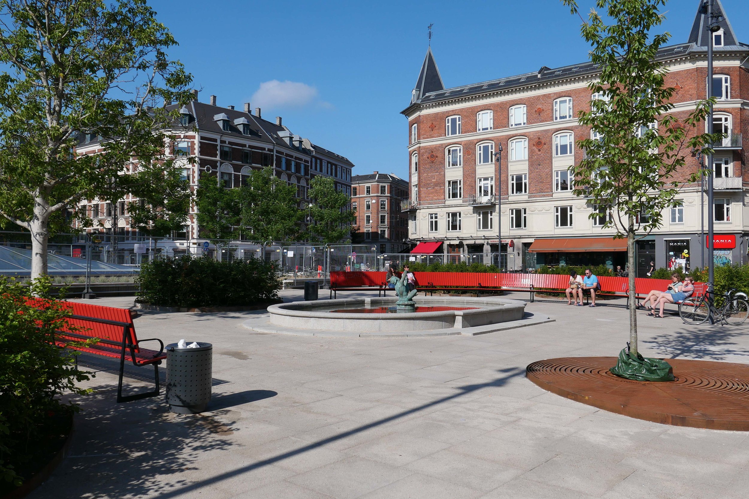
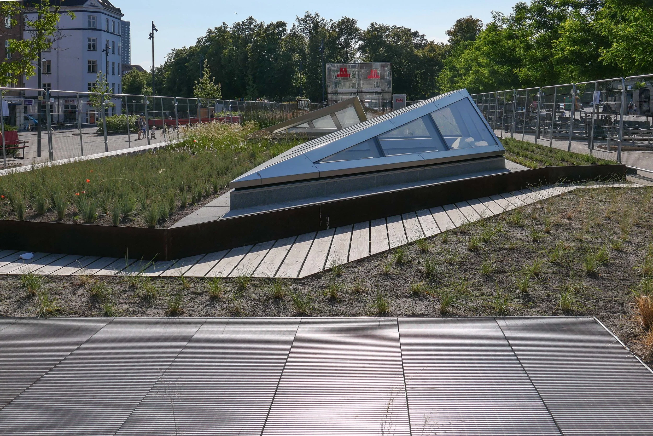
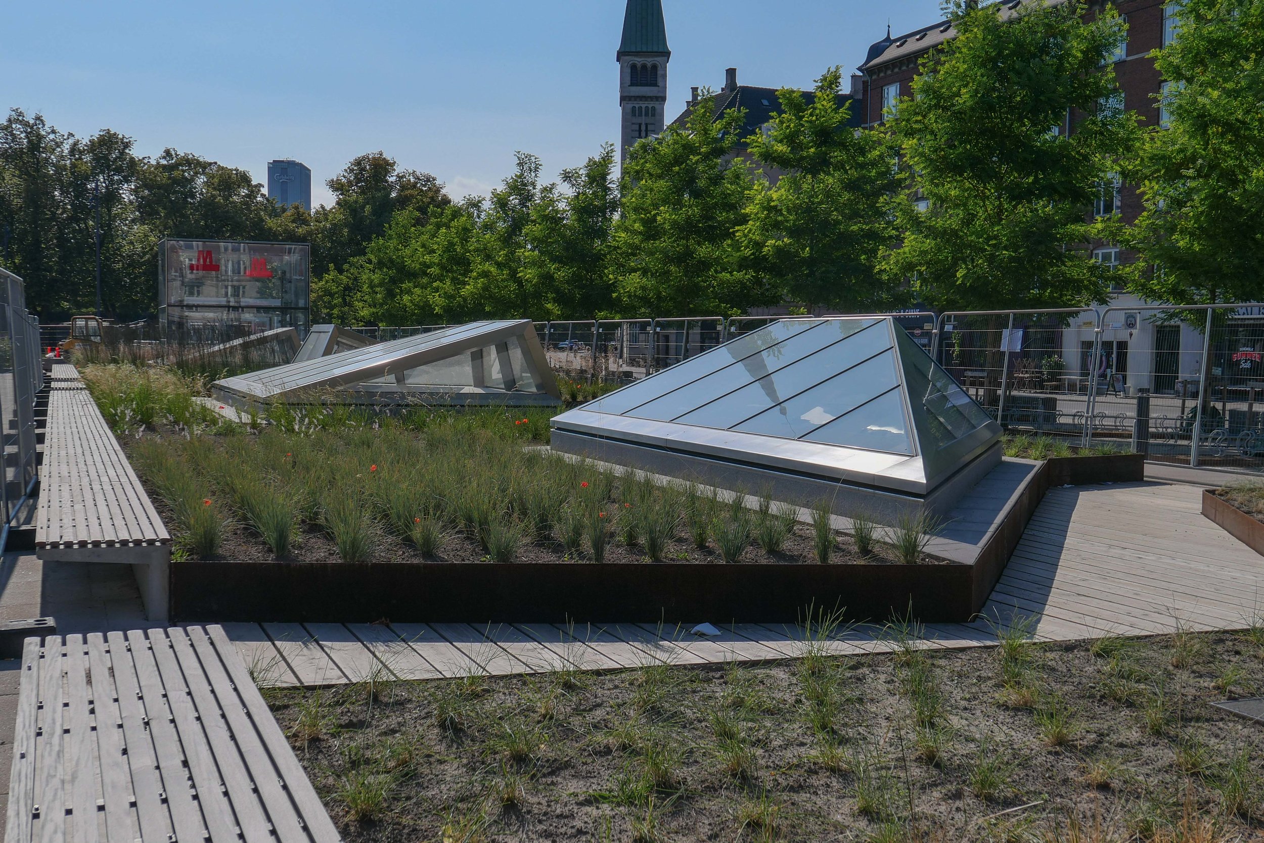
For the city of Copenhagen, plans for proposed developments - including extensive schemes to deal with flooding from rain storms - are published on line as part of the public consultation process and, for planners and architects from other countries, these readily-available reports provide a useful introduction to developments in planning and major engineering projects for climate change mitigation in the city.

The front page has a map where the reader can zoom in to find a specific report for a district or city block or square or specific building and the map is live so with links to a pdf report.

More recent reports have extensive research on historic context and function so they are as much an impact assessment as a public consultation document


a new library for Nørrebro


At the beginning of August a new public library opened in the old tram sheds in Nørrebro.

The building is set back from Nørrebrogade with a large square at the front where trams originally turned into the sheds and the original high and narrow openings towards the road have been retained but with new doors that have stylised versions of giant book cases.

Inside, the single huge space of the shed has been retained with arched openings in the brickwork along the east side towards Bragesgade kept as a strong architectural feature and to flood the space with light. The industrial roof has been kept and is now painted black.

Fittings are in pale plywood and divide up the space and there are integral breaks in the shelving with desk spaces and benches that create quiet places to work but also form views through the space.

Across the west side of the library are smaller spaces on two levels with meeting rooms above for meetings and teaching that the community can use and, like all libraries in the city, there is a play area for children to encourage even the youngest to see the library as a fun place to visit.

Further back from the road is a second huge tram shed and that was converted some years ago to a sports hall - Nørrebrohallen - and there is now a large entrance area and large cafe between the two - between the library and the sports halls - as a place where people can meet.

Running back from the road and along the west side of the buildings is the famous city park - Superkilen - with its outdoor play and sports so this area is now a major hub for the community around. It is anticipated that visitor numbers to the library could soon exceed 1,000 a day.

select any image to open the set of photographs as a slide show

sport and space consultancy KEINGART have published a pdf file on line with plans of the library and cafe area


Karen Blixens Plads

approaching the square from the metro station at Islands Brygge


Designed by the landscape and architecture studio COBE, the square is at the centre of the south campus of the University of Copenhagen and is one of the largest public spaces in the city.

The square, with work just completed and now open, is approached either from the north, from the metro station at Islands Brygge, or from the south from the direction of Amager Fælled.

The main area is paved with pale bricks and the main feature is shallow brick domes that cover part sunken areas for leaving bicycles but they also form areas fr sitting out and reduce what was a bleak and almost overwhelming space because of the size of the open area.

To the south the shallow circular mounds are repeated but heavily planted and with winding pathways between them that create more sheltered areas. Several sunken areas have wetland planting and control run off of rain water.

earlier post on Karen Blixens Plads from June 2017 when work began

approaching the square from the south - from Amager Fælled


Enghave Plads

Vesterbro - the part of the city immediately west of the central railway station - is a densely-occupied area of apartment buildings with most dating from around 1900.

This was a strongly working class part of the city with the main rail line forming the southern boundary and with the meat markets, gas works and the harbour presumably supplying much of the work and the Carlsberg brewery was, until a few years ago, to the west.

The street pattern of the district is complicated with two main roads - Istedgade and Sønder Boulevard - running out at an angle from the railway station at the north-east to the south east but with secondary cross streets of traditional apartment buildings running north to south and there are also several streets running across the area from south east to north west so it a complex pattern of a grid but overlaid with a Saint Andrew cross so some streets meet or cross at odd angles.

At the south end of Istedgade is Enghave Plads - a large open square much wider east to west than the distance across from north to south and it narrows at the centre. This square is where several tram routes met so it was always an important point in the area and immediately to the west is a very large square with a major public garden - Enghave Parken - that has large apartment buildings on the north, west and south sides so the two spaces run together though divided by a busy main road - Enghavevej.

Enghave Plads is the site of one of the major new metro stations on the new circle line that will open at the end of September. The east end of the square and some of the surrounding streets have been boarded off for about a decade with major construction work for the metro but the boarding has just been taken down and the space with it's new landscaping opened officially.

There are large areas for leaving bicycles across the north or darker side of the entrance steps to the metro station but across the south side of the metro entrance there are raised beds with Corten edging and long raised bench seats and then to the west more open space for events. This area has striking new seating that has deep red slats on a black metal frame and these form great bold curves though the initial reaction to the seating has been mixed - some asking exactly why people would want to sit next to each other in long rows even if they are curved. Mature trees to the west, along the main road, have been kept and provide a baffle against the sound of traffic and shade for more seating and an area that is fenced for ball games.

Copenhagen Metro

Vesterbro with the main railway line to the south, the MeatPacking district in the cirve of the railway and the main railway station top right
Enghave Plads just left of centre and Enghave Parken towards the left side

Enghave Plads from the east with the square of Enghave Parken beyond

tram leaving the square and heading along Istedgade towards the railway station … the area between the buildings and the central space has been paved over and the main through traffic has been restricted to the north side of the square


Kunst i Byudvikling / Art in Urban Development

Kunst Realdania cover.jpeg

Realdania have just published a report on sculpture and art in public space that is aimed at municipalities, development companies and other professionals to inspire them "to consider art as a value-creating asset in their own projects."

“Culture and temporary activities are often included in urban development to open up new urban areas and give them identity, involve local citizens, or attract investors and outsiders.”

Christine Buhl Andersen, director of the Glyptotek in Copenhagen, has written an introduction or overview and she emphasises the importance of art in public space …  "art is increasingly used strategically to make urban areas, urban spaces and buildings vibrant and attractive."

The report points out that art in public spaces has a clear role in helping to create a good urban environment but requires a partnership between politicians, architects, planners, developers, builders and artists.

Works of art can be used to decorate or to improve urban spaces and buildings but can do so much more … "art can give the individual building identity, create experiences and contribute to the well-being of the building's users."

established art in public space


sculpture of the Glyptotek in Copenhagen


Sculpture can be part of an outdoor exhibition space … the Glyptotek itself is a good and long-established example with sculpture on and around the building providing open access to art, with decorative portrait busts in niches across the entrance front, decorative panels and the heads of exotic animals, on the building itself; figures, many of workers, on the lawns on either side of the building, and across the back of the art gallery, on the opposite side to the entrance, there is a quiet, pleasant public garden that is also an outdoor gallery for a broad selection of statues.

Much of the sculpture in Copenhagen commemorates major figures - either from the city or national figures including, of course, monarchs, statesmen and major academics, scientists and literary figures.

These are busts or full length figures but there are also more complex representations of the lives of people … an interesting sculpture by Elisabeth Toubro has been added to the line of more traditional busts on plinths across the front of the old university buildings on Frue Plads that commemorates the life and work of the mathematician and seismologist Inge Lehmann.


commemorating and remembering through public art …
a statue of Hans Christian Andersen by Augustus Saabye in the King’s Garden: Gottlieb Bindesbøll by Kai Nielsen in the courtyard of Designmuseum Danmark: Steen Eiler Rasmussen by Knud Neilemose at the Royal Academy buildings on Holmen:
a traditional bust of the physicist Niels Bohr at the front of the university buildings on Frue Plads and the less-traditional monument close by to Inge Lehmann by Elisabeth Toubro

traditional art in public spaces


Litauens Plads - art, sculpture or street furniture?

 
L1260629.JPG

to mark the site of the important engineering works of Bumeister Wain there is a timeline set in the grass behind the sculpture

Now, many sculptures are designed to be sat on or climbed over and many have an important role in public spaces by encouraging people to sit in or use the space. Are the lines of low cylinders along the edge of the square at Litauens Plads street furniture? The red bird nesting boxes in the trees above suggest a complicated, diverse and subtle use of art works here.

Some artists can be reticent if they feel that their art is there simply to make the area more attractive or, worse, if it is there to increase the value of a development and politically it can be difficult if local people cannot relate to works; find them irrelevant or see the obvious cost as a waste of funds that might better be spent on supporting social projects.

The report looks at several major projects that have included public art in public spaces from the design stage with the examples of new sculpture incorporated into the new developments of Køge Kyst, south of Copenhagen, and Kanalbyen in Fredericia where there has been collaboration to integrate art from the start. 

An ambitious new scheme for public art is evolving at Arken, the major art gallery to the south of Copenhagen. There has been extensive re-landscaping immediately around the art gallery but, because many visitors and tourists come out from Copenhagen by train, Arkenwalk will link the railway station at Ishøj to the art gallery down on the beach - a walk of 2.2 kilometres - with the final design selected after a completion that was entered by 27 teams of artists and architects. The new "art axis" will be marked by very distinct red lamp posts.

new street art


The Wave - an interactive light installation by Frederik Svanholm, Mikkel Meyer and Jonas Fehr

the bike and foot bridge by Olafur Eliasson - public art or engineered city planning?

hoardings around the engineering works for the new metro station at Trianglen painted by Benjamin Noir


Superkilen in Nørrebro in Copenhagen

Public art is not restricted to sculpture - or at least not what would traditionally be seen as sculpture. Superkilen in Nørrebro has lines of stools and tables marked out with board games and the Circle Bridge by Olafur Eliasson, opposite the national library, with its lighting, blurs the boundary between engineering and public art. Paintings on the high fencing around the sites of the engineering works during the construction of a new Metro line has provided an opportunity for a major project in public art.

Many of these more recent projects, including newer forms of public art in light or with projected video art or sound, are about social engagement but public art can have an important role in attracting people through an area to make it feel used and safe rather than empty and abandoned or underused and under appreciated.

The report identifies a general change in the response to art in the streetscape. It suggests that there is a growing reaction against public art that is temporary or experience orientated or projects that are designed to attract tourists and a move towards "liveability", so art enhancing everyday life for local users of the space … a move towards appreciating art that brings joy, beauty, curiosity, a specific sense of a specific place so context and consideration - in the sense of thoughtfulness - back to enhance how we see and use and occupy public space.

It also includes more mundane but important and practical summaries about realising projects; about determining frameworks and about practical matters of planning for operation and maintenance and even a reminder about seeking information about rules covering Tax and VAT.

Above all the illustrations show just how diverse and just how imaginative public art in public space can be. 

Kunst i Byudvikling
Arkenwalk
Realdania

private art in public space?
a rack for bikes outside the bike shop on Strandgade in Copenhagen
pedals of the stand from a failed experiment to ride side saddle?


Amaryllis Hus

The annual Building Awards in Copenhagen were established in 1902 but it was only last year that citizens were asked to vote for a public award for one of the buildings on the list of finalists.

Last year the building selected for that first public award was Axeltorv / Axel Towers by Lundgaard & Tranberg Arkitekter.

The winner this year is interesting. From a diverse list of unusual and quite adventurous building projects around the city, the public selected an apartment with a high-rise tower out of the city, just under 5 kilometres from city hall, out to the south west beyond Vestre Kirkegård … the western cemetery.

This is Amaryllis Hus on Paradisæblevej - designed by Mangor & Nagel and part of a major redevelopment of Grønttorvet - the old wholesale vegetable market - a short walk from Ny Ellebjerg station.

read more


Copenhagen: Solutions for Sustainable cities - a report from Arup


This report from the engineering consultants ARUP sets out many of the important principles that now guide planning policies for the city of Copenhagen.

It has a short introduction by Frank Jensen - the major of Copenhagen - where he writes about the efficient use of limited resources and concludes that "It was thought that environmentally friendly development would limit economic growth. However, quite the reverse turns out to be true. Green growth can, indeed, boost economic development and the quality of life .… the business of introducing sustainability into the city poses very different issues than affecting it in the country as a whole … and require city specific solutions."

The report sets out the problems and some of the solutions that the city has adopted - often through the use of innovative technology - and the achievements, in terms of environmental gains, along with lessons to be learnt.

There are good, clear graphics, a lot of information and interesting details about projects under eight main sections.

Headings for those sections of the report give a good indication of priorities for the city, in terms of sustainability, both now and for the future ….

THE HARBOUR TURNS BLUE
MEETING THE RISING DEMAND FOR WATER
CYCLING: THE FAST WAY FORWARD
TRANSPORT: THE GREEN LIGHT
MAKING THE MOST OF WASTE
THE FORCE OF PUBLIC SUPPORT FOR WIND POWER
KEEPING THE CITY WARM EFFICIENTLY
KEEPING COOL UNDER CO2 PRESSURE 


ARUP - Copenhagen: Solutions for Sustainable cities

ARUP publications


just a few of the facts:

  • 22% of Denmark's total electrical consumption is produced from wind turbines … the highest proportion in the World

  • there are 42 kilometres of Greenways through the city where cycling is prioritised

  • waste sent to landfill is now less than 5% of the amount dealt with in that way in 1988

  • the city heating system is one of the largest in the World and supplies 500,000 people with reliable and affordable heating


Realdania - report on the architectural value of vulnerable neighbourhoods

By coincidence - in the middle of a series of posts about housing schemes that are classified as vulnerable with what are now defined by the Danish government as parallel communities - the most recent newsletter from Realdania to arrive in my inbox is about a new research project funded by them and to be undertaken by the Aarhus School of Architecture to map out and assess buildings in these vulnerable neighbourhoods. 

The report will include a valuation of the heritage and cultural value of these buildings and will be completed in May and then submitted to housing organisations and municipalities.

For readers who are not Danish and might not have heard of the them, Realdania is a major philanthropic association that was established in 2000 and is now involved at all levels with the built environment by undertaking research, providing subsidies and grants for restoration or improvement of historic buildings of all types or by supporting major new building projects. They have also acquired important historic buildings of all periods which Realdania have restored and given to public bodies or restored and then let to appropriate tenants but usually with some access for the public.

They now have a strong catalogue of publications and they send out the regular newsletter with information about their projects or about exhibitions where they are involved or with information about their new publications. Many of their assessments, and their technical reports and guides to historic buildings and monuments can be read on line.

Realdania - Vulnerable Neighbourhoods

publications from Realdania


Tingbjerg housing

Tingbjerg housing scheme was designed by the Danish teacher, writer and architect Steen Eiler Rasmussen and the landscape was designed by C Th Sørensen.

Building work started in 1956 and was completed in 1971 and by then there were 3,000 homes here with most in apartments in blocks that are three storeys high - over half basements containing service rooms - although there is also one tower block and a line of single-storey homes along the west edge of the scheme.

Tingbjerg is out to the north west of the city centre, on relatively high land, close to the moor and lakes of Utterslev, and around 7 kilometres from the city hall. It was planned as a small, self-contained town with shops, a school and a church and at one stage 10,000 people lived here although the number is now below 7,000.

There are long rows of apartments that are set in a regular grid of roads with a main peripheral road and one main cross street running east to west although most of the apartment blocks are set north to south so that they make the most of morning and evening light.

Buildings are laid out around generous squares and large open spaces with a good planting of trees that are now mature and there are a number of areas where children can play. There is also access to what is still and certainly what was in the 1950s areas of open countryside and the high elevation, or at least high for Copenhagen, means that there are views back over the city. Even today, the light seems clearer and the air fresher up here than down in the city and, back in the 1950s, that contrast must have been more marked when there was much more air pollution. Families moving here then must have been positive about being able to move out to a new home in a new suburb.

The site slopes and the rows of apartments are staggered - rather than being in long straight unbroken lines - and the topography has been exploited with terraces and short flights of steps at changes of level that again softens and breaks up the impact of building even though so many homes were built in a single phase and in what is, in essence, a single style.

Constructed in light-coloured brick with dark roofs, workmanship is of a high quality and the design of the buildings is simple but not stark so the style is clean and actually quite elegant. A distinct feature is slatted shutters that slide back from the windows on some buildings. Tingbjerg is a good example of classic Danish design at its best. This was recognised in 1959 when the first phase of the scheme received the Bygningspræmiering / Building Award for New Residential Property.


note:

Given the high quality of the design and the construction of the scheme, it is ironic that in the recent government report - Ét Danmark uden parallelsamfund / One Denmark without a parallel society - Tingbjerg is now designated as one of 16 ghettoes in Denmark where serious social problems have been identified and there is now funding with recommendations for intervention.

These photographs were taken in January 2019.

Growing Smart Cities in Denmark

This report from Arup Smart Cities was commissioned by the Danish Ministry of Foreign Affairs and was published in 2016. It makes important points that should be considered alongside a recent report on updating the Finger Plan and a major report on an initiative for the development of the Copenhagen region. Planning for future urban growth has to factor in new technology and the role of smart data.

Growing Smart Cities gives a brief overview of the approach to digital and smart technologies in the Danish cities of Copenhagen, Aarhus, Vejle, and Albertslund and, for context, brief assessments of developments in smart technologies in other countries.

The report identifies a growing number of companies undertaking research and developing projects but one aim of this report is to find ways for these to be scaled up and to find ways to ensure that they are carried forward.

The approach is two-fold, looking first at growing smart Cities in Denmark - so at digital technology for urban improvement and mentions several times the word liveability - but, for obvious reasons, looks at the financial and investment potential of developing these new technologies in Denmark.

There is encouragement for education to address a potential shortage of people with appropriate digital skills with a need to teach a new generation of students who will be qualified when research departments scale up projects - to take them forward - and to work with business who now have to assess long-term returns from what is often considerable investment.

The conclusion is that "Denmark has an opportunity to become a world leader in smart cities."

read more

Life Between Buildings


Life Between Buildings - Using Public Space, by Jan Gehl, 1971
first English edition 1987 and new edition in English 2006 and 2011


In the introduction to this edition, Jan Gehl explains that Life Between Buildings was published in the 1970s to point out "the shortcomings of the functionalistic architecture and city planning that dominated the period."

"The book asked for concern for the people who were to move about in the spaces between the buildings, it urged for an understanding for the subtle qualities, which throughout the history of human settlements, had been related to the meetings of people in the public spaces, and had pointed to the life between buildings as a dimension of architecture, urban design and city planning to be carefully treated."

Although the first edition was published over 30 years ago, walking around recent developments on Amager and in the South Harbour area and certainly when walking around the redevelopment of the Carlsberg site, it appears that, even now, too often, the observations set out by Jan Gehl have been forgotten or ignored. There are seats and there is planting but too often these seem to be a token scattering of street furniture rather than reflecting a coherent approach for these areas.


How to Build a Good City - Jan Gehl on Louisiana Channel


If you don’t know Copenhagen well, or if you have not come across the work of Jan Gehl and his approach to planning in the city, then a good place to start is with How to Build a Good City - an interview with Gehl that was posted last year on Louisiana Channel.

I have been meaning for some time to post a link here to Louisiana Channel. This is an important and fascinating series of on-line films and long interviews from Louisiana Museum of Modern Art and although, as you would expect, many of the interviews relate directly to exhibitions at the museum or to the works of artists in their collection, the films range widely in their subjects and locations … there are interviews with leading architects and designers, including several with Bjarke Ingels, a series of interviews about the work of Jørn Uttzon and an interview, posted recently, is with Kim Herforth Nielsen of the architectural practice 3XN about their designs for the new Fish Market in Sydney.


Louisiana Channel

the harbour and the future of Nyholm

The Danish Navy maintain an important though reduced presence in Copenhagen - with the main naval bases for the country now in Frederikshaven and Korsør - but there are plans for much that is still here to be moved away from the city and recently there have been discussions to decide on the most appropriate use for the historic naval buildings on Nyholm.

This is an important part of the harbour and not simply because Nyholm is prominent on the east side of the entrance to the historic inner harbour but also because the island has an important and symbolic place in the history of the city. On the emplacement at the north end of the islands are guns for official salutes to mark royal and national occasions and the flag flown here has huge significance.

When the royal yacht returns to Copenhagen, it is moored immediately north of Nyholm.

There are important historic buildings here including two of the most extraordinary buildings in the city … the Mast Crane that is an amazing example of maritime engineering and the Hovedvagt or Main Guard House with a feature on the roof that looks like a giant chess piece. Both date from the middle of the 18th century and both are by the important architect Philip de Lange.

read more

photograph taken from the harbour ferry as it pulled in at the landing stage just below Skuespilhuset - the National Theatre.

Nyholm is the island between the Opera House and Refshaleøen and at the centre of this view is the distinct silhouette of the 17th-century Mast Crane

note:
the cormorants are on an artificial reef that was created in 2017 to encourage biodiversity in the harbour. The University of Aarhus has produced a report …

Restoration of Stone Reefs in Denmark


looking across to Nyholm from the south - from the canal to the east of the opera house

Spanteloftsbygningen looking across the canal from the south east

The Mast Crane from the south with the low but wide Drawing Building to its east

Søminegraven - the canal along the east side of Nyholm from the south

Hovedvagt - Main Guard House or ‘Under the Crown’ from the east designed by Philip de Lange

Workshops at the south-east corner of Nyholm built in the late 19th-century


Tredje Natur - Bright Blue Visions


Tracking back a reference to the work by Tredje Natur on climate paving I came across Bright Blue Visions - an article they posted in 2013 with proposals for development of the harbour with new islands for sport and for a nature reserve for nesting birds as well as a park adjoining the Opera House that could be used for outdoor performances and a centre in the basin at Kroyers Plads to promote Danish advances in water technology. Their important argument was that the harbour is a common resource.

My main reservation is that, although the harbour is a major resource and there has been a long tradition of the city claiming new land from the sea, the harbour is also a phenomenal asset as a major and impressive open space where sports and events and recreational boating and swimming can all be staged but without substantial and long-term structures.

As with the new bridges over the harbour, what is undermined is the sense of space - a threatened asset in any city - and a feeling that the harbour - after all still open to the sea - could become domesticated or tamed and contained and divided up - so little more than a larger version of the lakes across the north side of the inner city.

Tredje Natur

Lynetteholmen - a new island across the harbour

Included by ministers in the launch in January of their 52 point Capital Initiative was a major project for a large, new island to be constructed across the entrance to the harbour. Work could start in 2035.

Under a heading Room for Everyone it was, in fact, the first point of the 52 - but already the proposal seems to have generated a fair amount of criticism.

The island, to be called Lynetteholmen, could have housing for at least 35,000 people and eventually work for as many and would include coastal protection measures to stop surges of storm water entering the inner harbour but it would have a fundamental impact on the character of the inner harbour by closing off views out to the sound and would restrict the routes of access into the harbour for large and small vessels.

Although the new cruise ship terminal at Nordhavn is outside the proposed island, the drawing shows further quays for large ships on the seaward side of the new island so it is not clear if these would replace the present berths for cruise ships along Langelinie Kaj.

note:

Politiken published an article on the 3 March with comments from a workshops with architects and engineers and planners where it was suggested that the island, as shown in the drawing first presented by the Prime Minister in October, is too close to the Trekroner fortress and is too large with several critics suggesting that it should be broken down into a series of smaller islands. No further decisions can be made until tests of the sea bed are completed and until related projects are confirmed including the plan for a major road link across the east side of the city that would have to cross the harbour and the proposal for an extension of the metro through a tunnel between Refshaleøen and Nordhavn.