clearing the courtyards
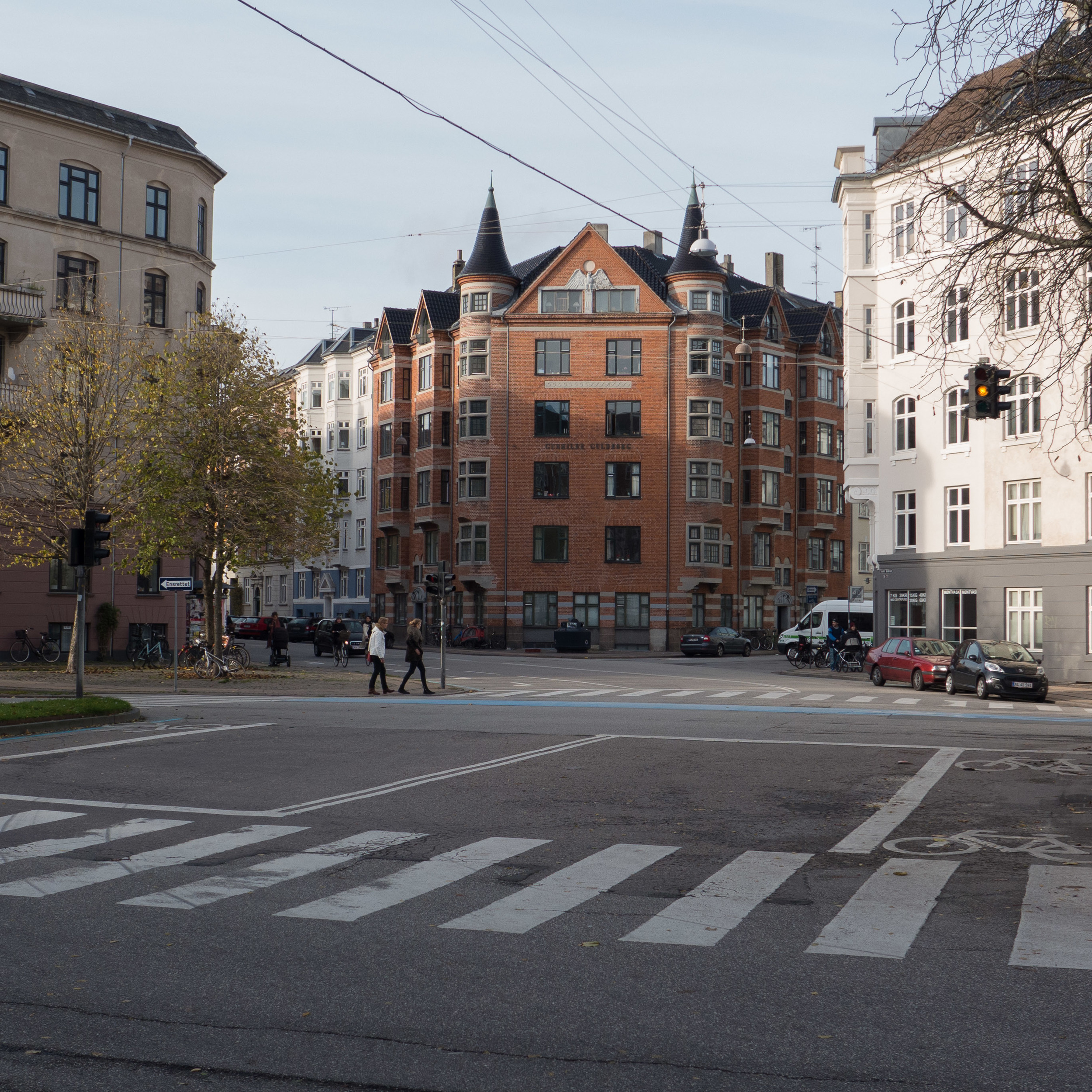
You can see why people had to build over the gardens and courtyards in the old part of the city. As the population increased but with the boundary of the city clearly defined and building beyond the defences impossible, taller and taller houses were built on the street frontage and other houses and workshops and so on built in the gardens and back plots behind the houses that fronted onto the street. All fairly obvious and certainly not unique to Copenhagen.

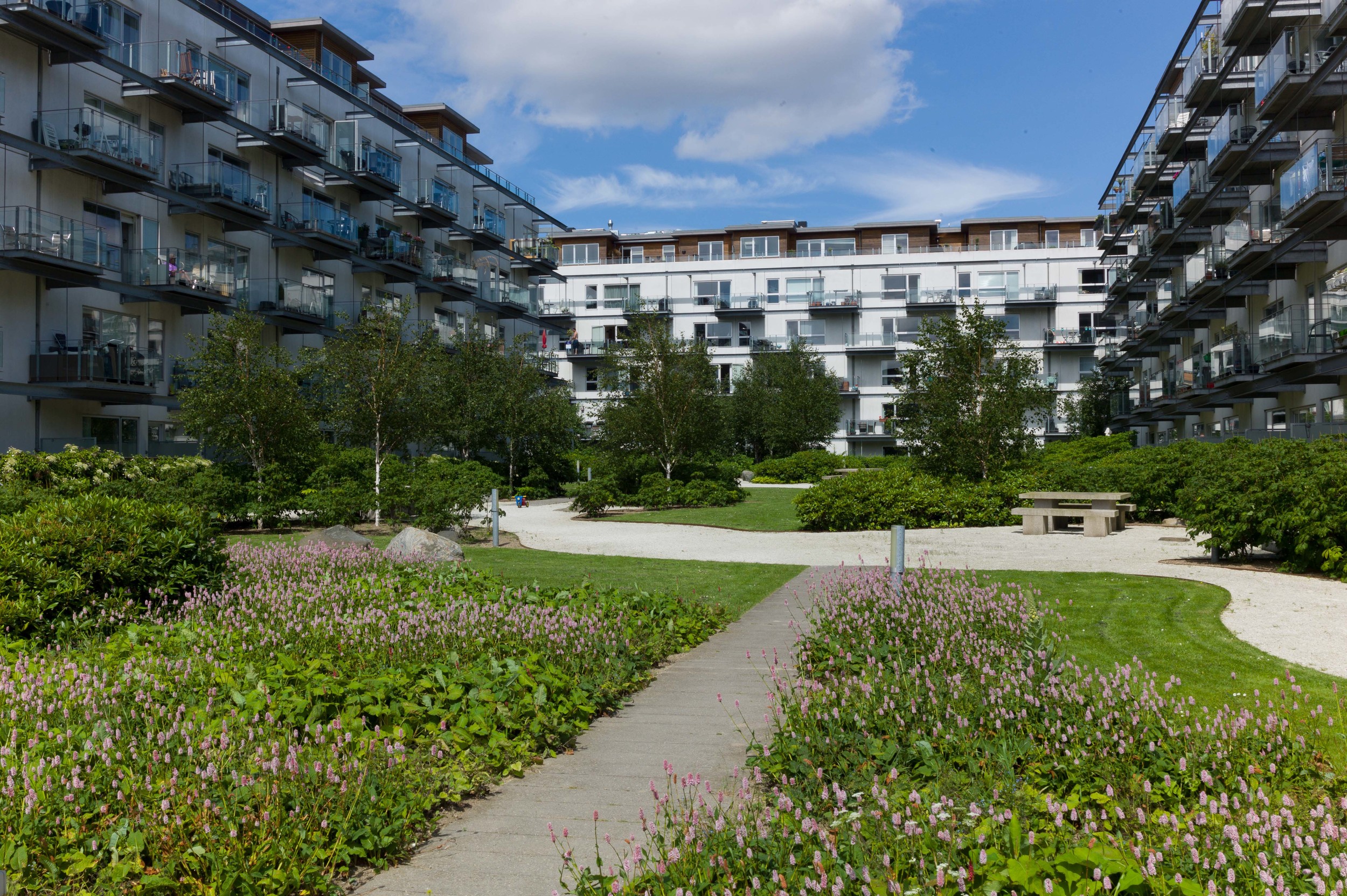
But what I like about the courtyards is not necessarily for what they were, although for a social historian they are fascinating, but, as they have been cleared, for what they have become. On many of the blocks buildings within the central area, behind the street frontages, have been cleared and property boundaries ignored to form large green spaces that are in most cases hidden from the pavement. They form a private outside space for all the families that live in apartments around the edge of the block.

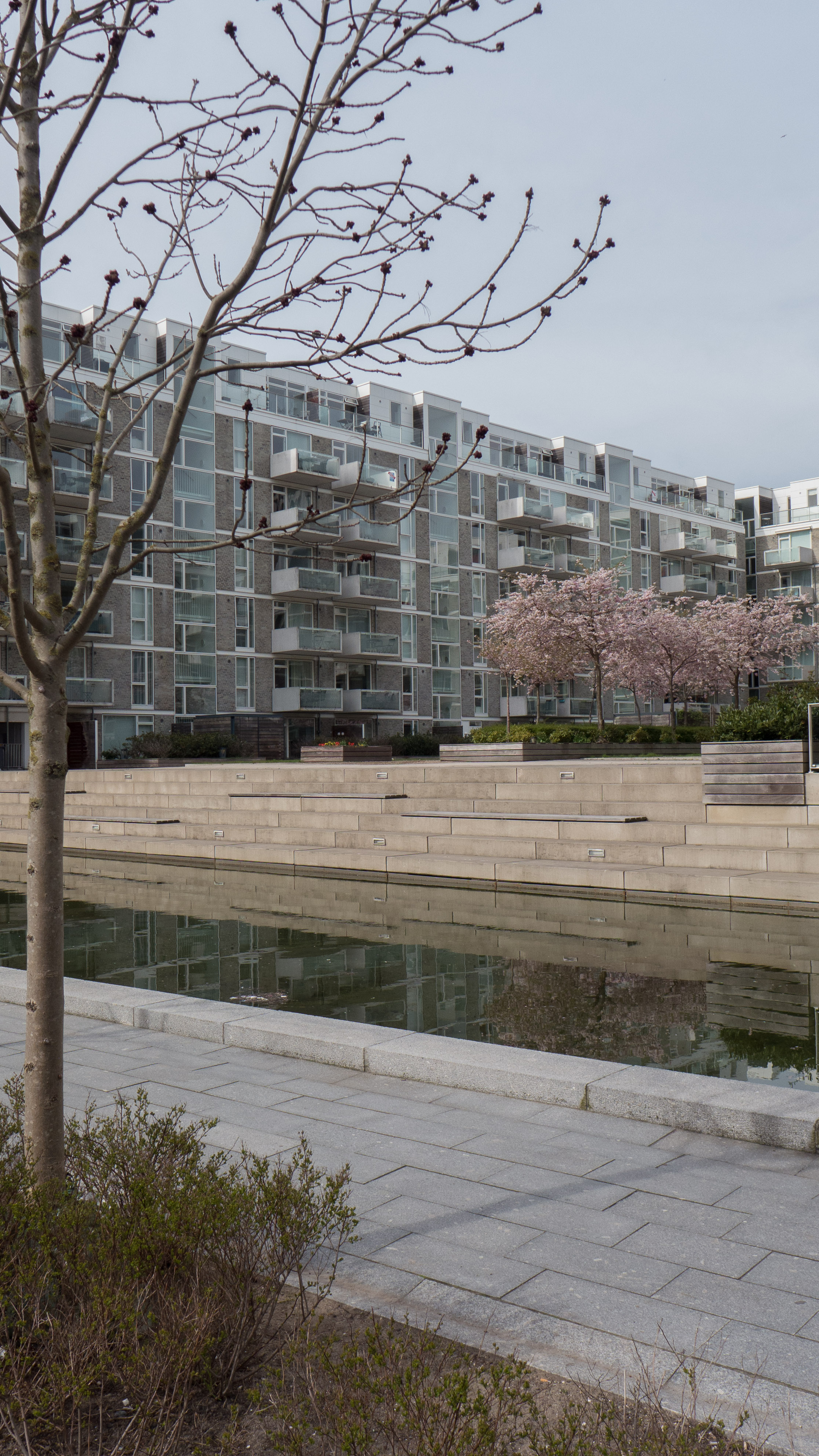
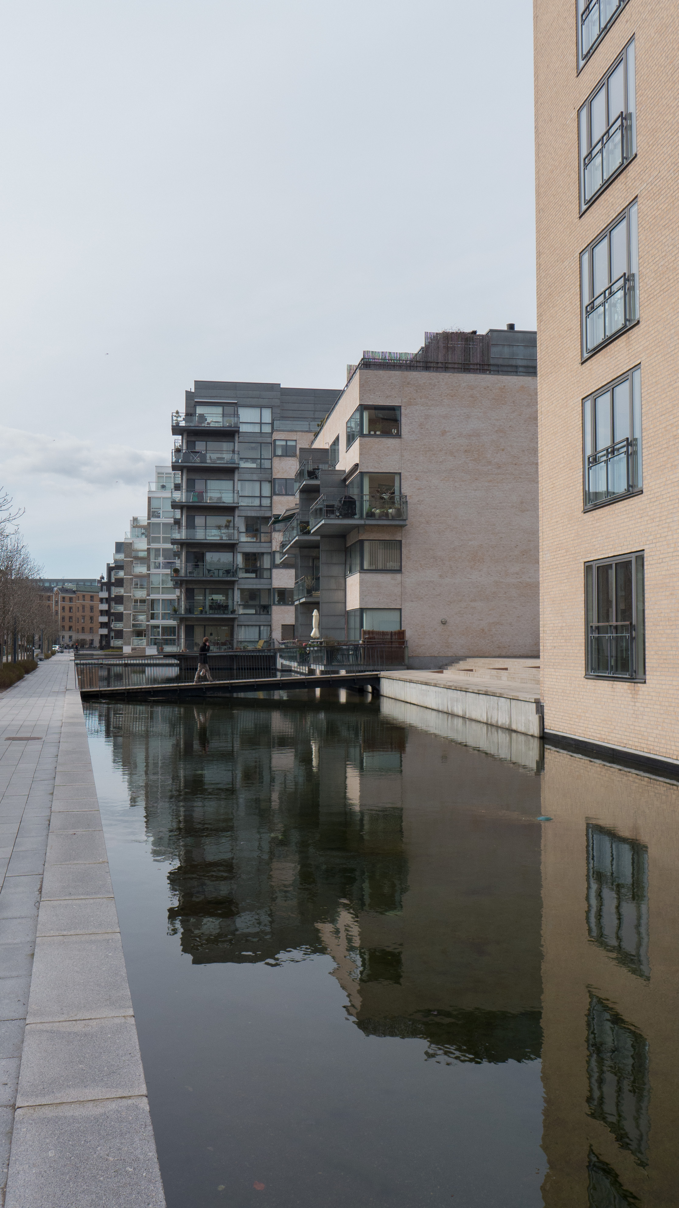
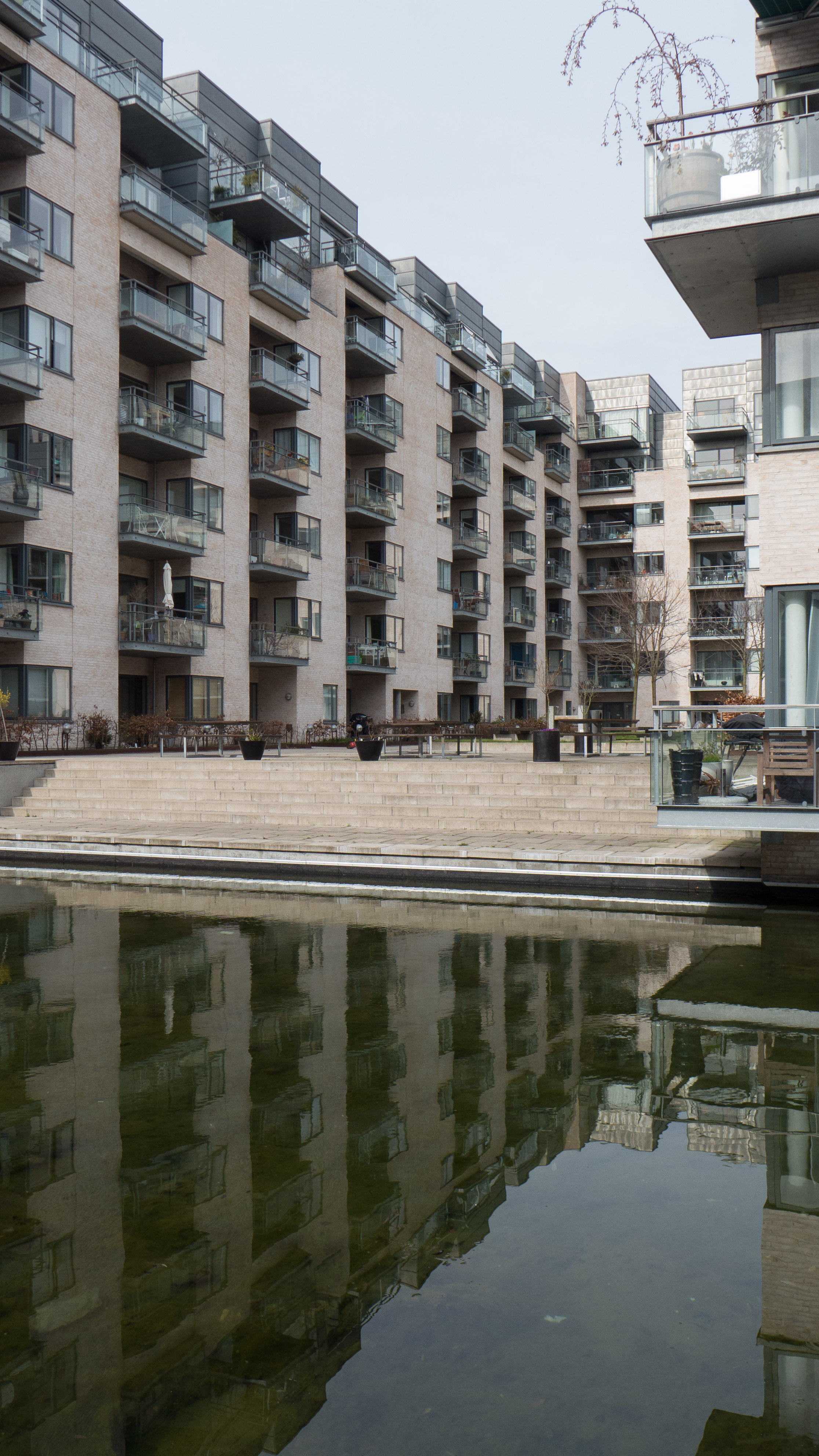
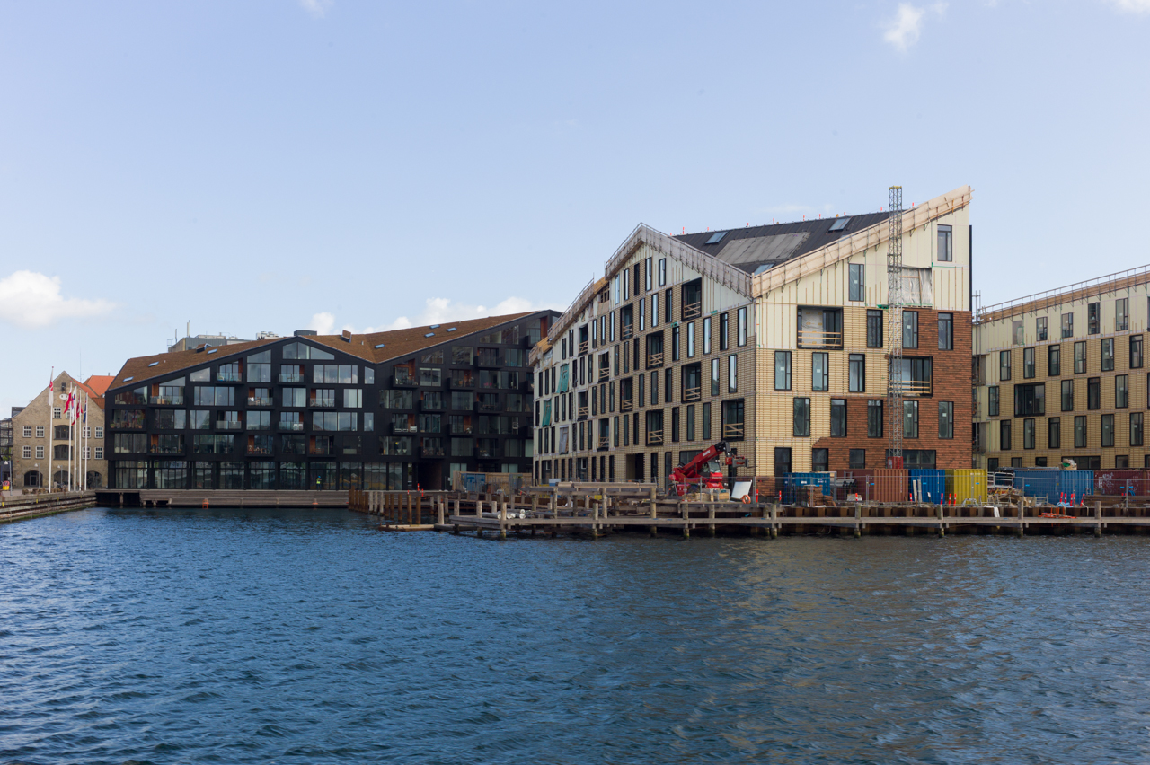
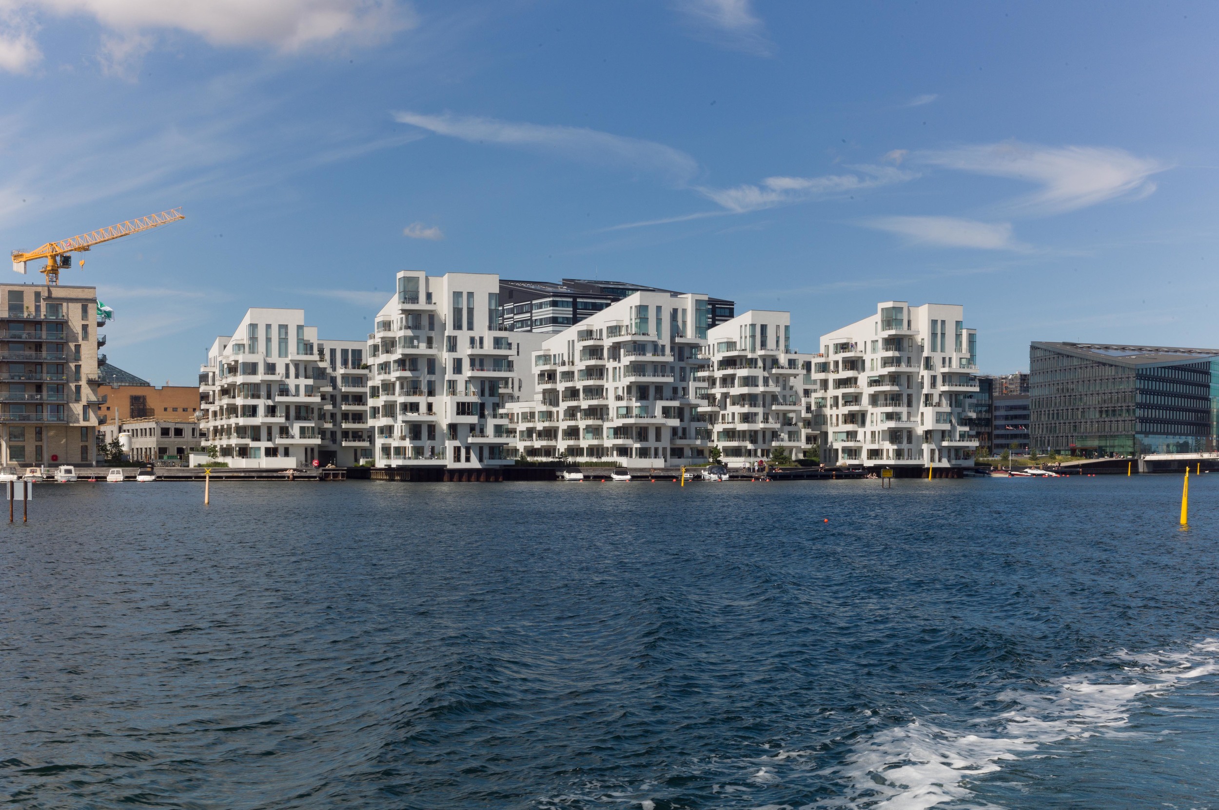
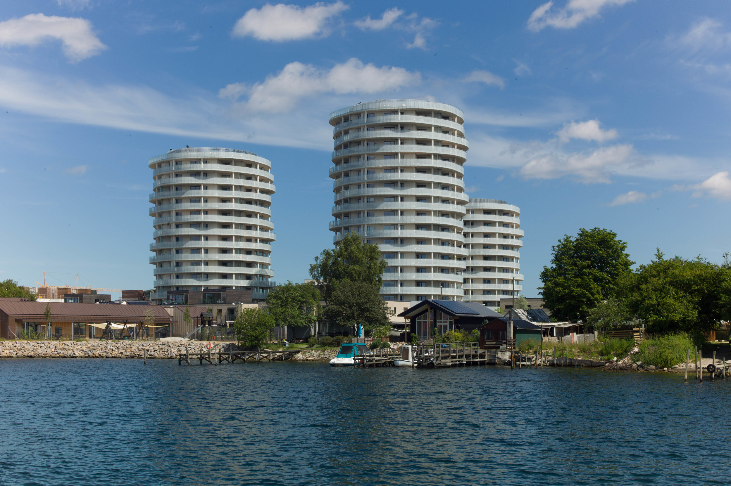
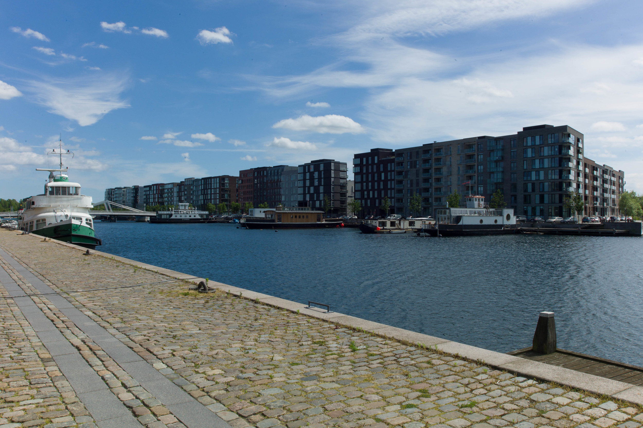
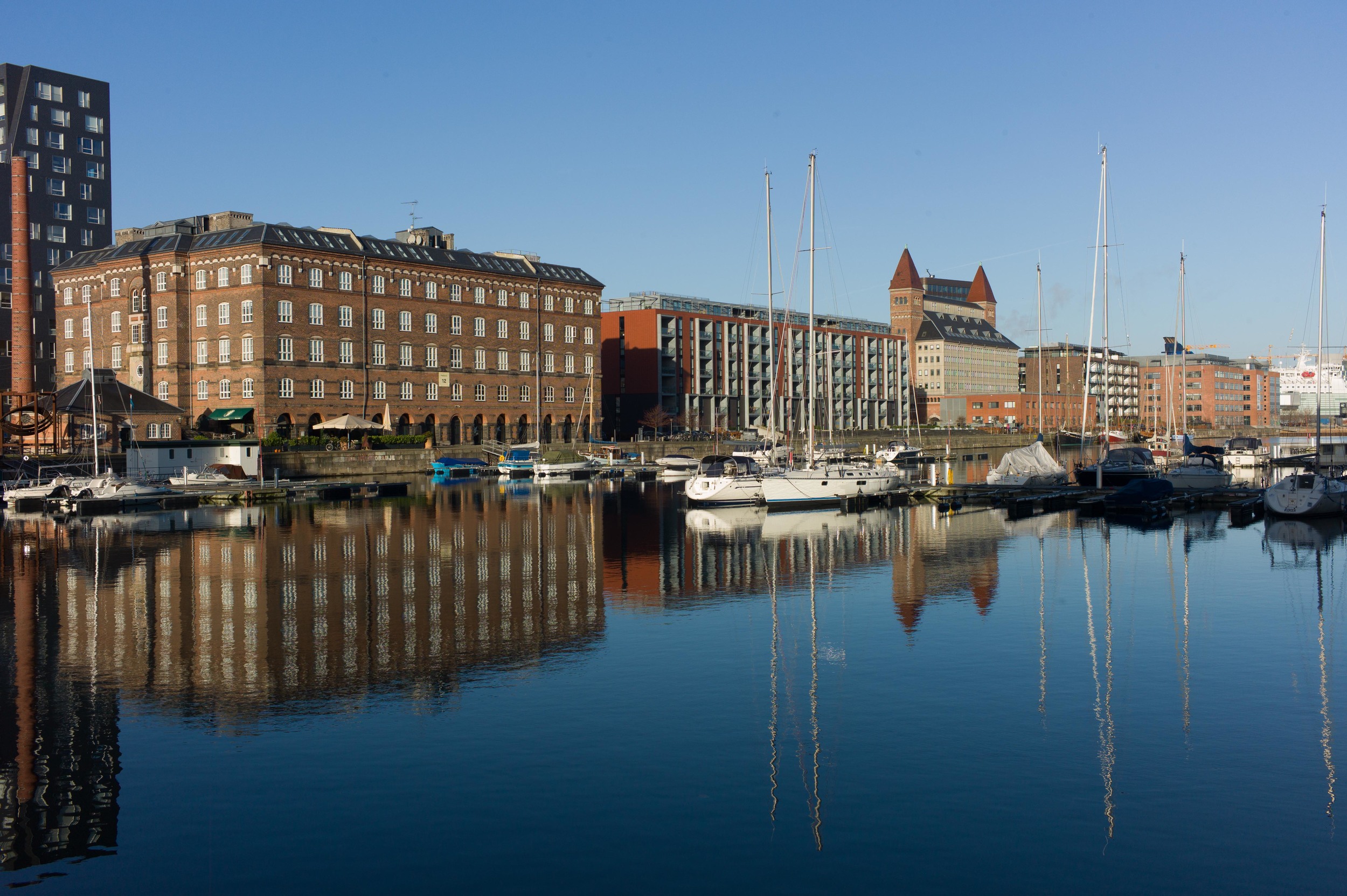
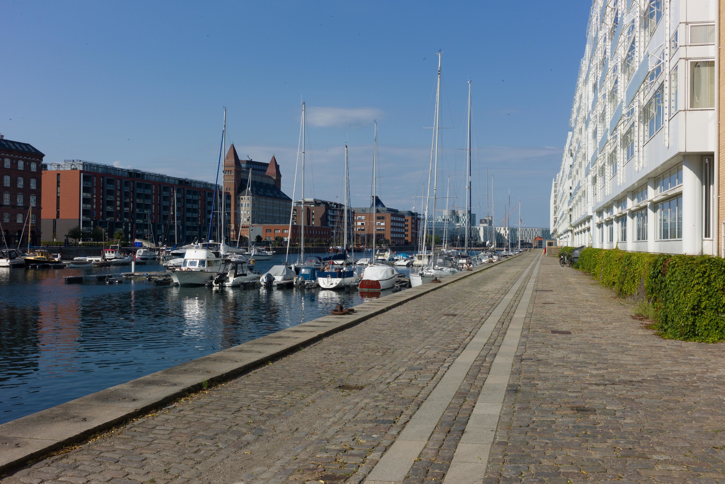
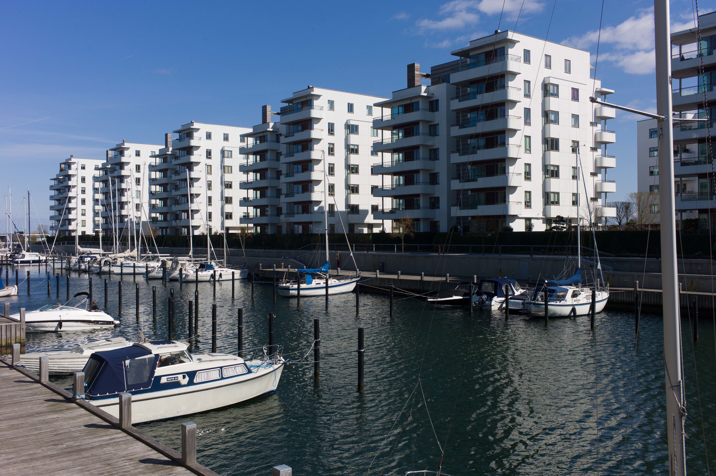
In the best, there is a strong sense of community with picnic tables and chairs, barbeques and children’s play equipment common and well used and rarely abused. The model is so established and so successful for high density accommodation that new apartment buildings follow or imitate the form … so apartment buildings of five or six stories facing inwards to communal gardens can be seen in new developments around the harbour including Nordlyset in Amerika Plads and Sluseholmen. 

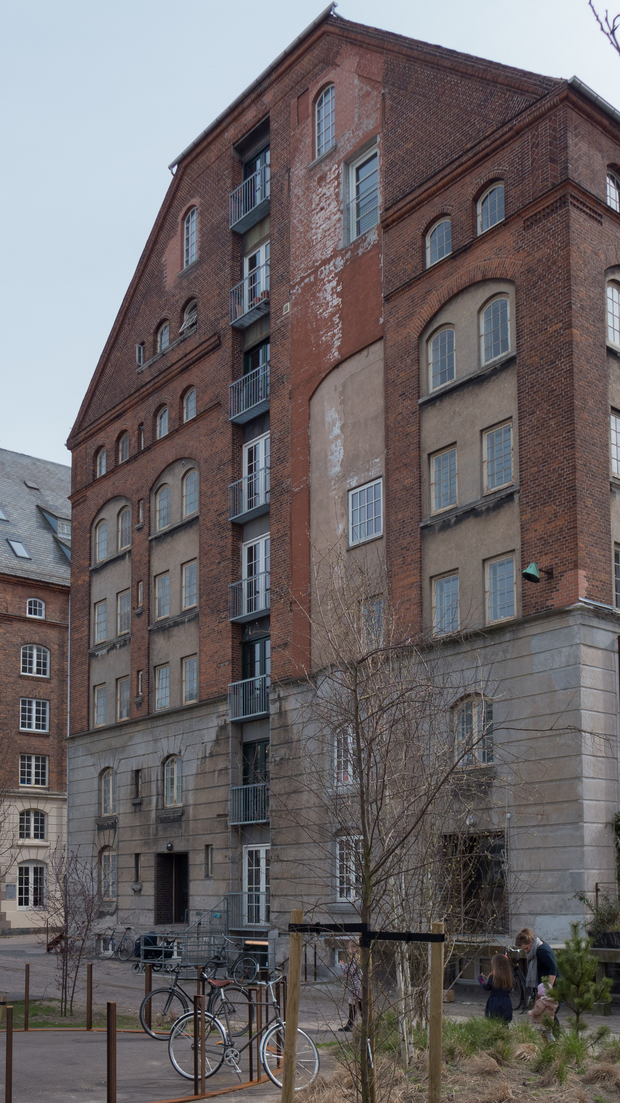
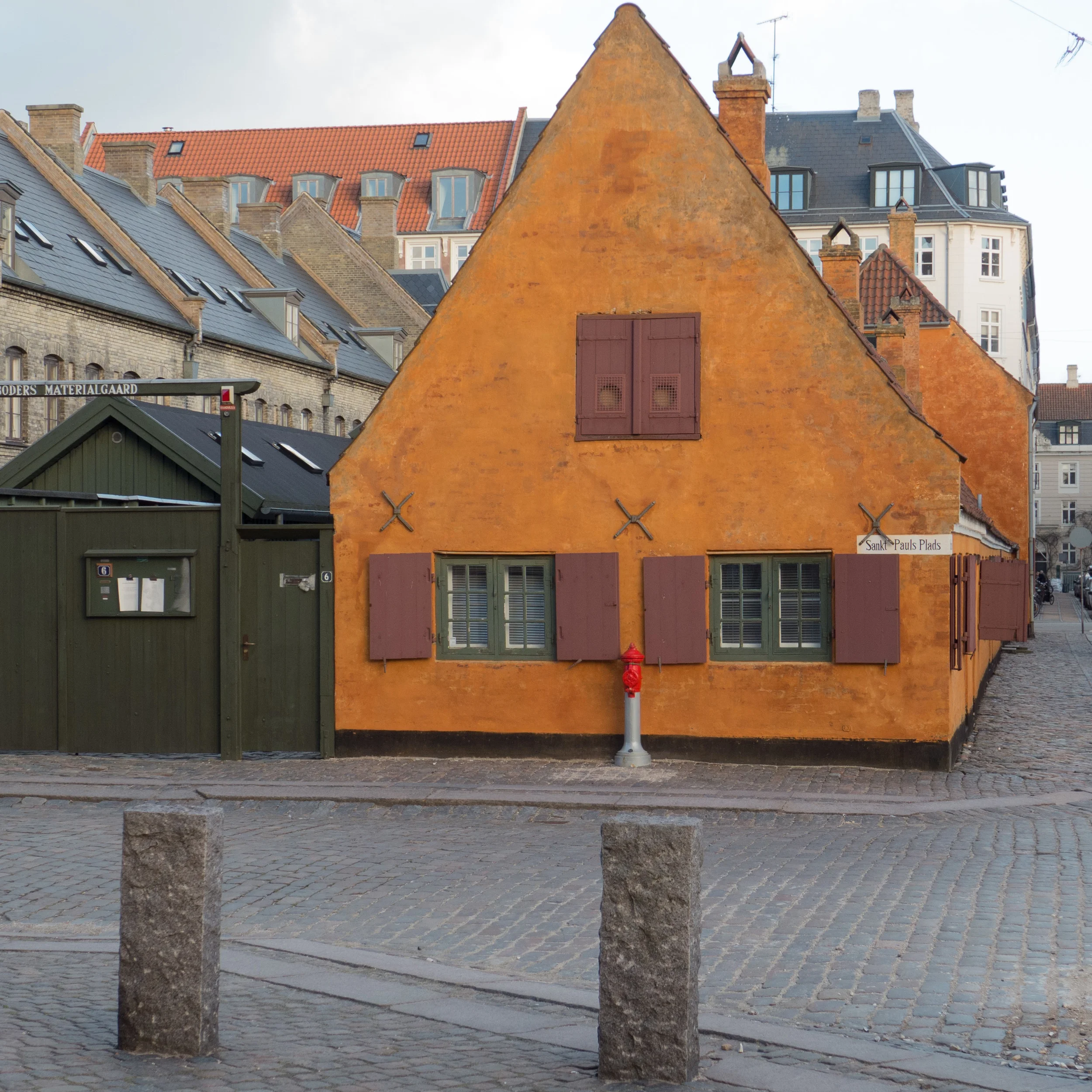
Perhaps the only real problem, in terms of townscape, is that in some parts of the city, particularly where the city blocks were long and narrow, apartment buildings along the street frontage itself have been demolished and the land left undeveloped to bring sunlight and air into the backs of the remaining buildings. It is obvious why this was done but in many cases it makes the courtyards too open - too exposed - and it can undermine the line and form of the street and certainly exposes the backs of buildings that were never meant to be seen. Most of the older buildings in the city have expensive fronts to be seen and very practical and simple or cheap and muddled but practical back elevations.

the Sørensen family apartment

Reconstruction of the two-room apartment in Viborggade - a 'corridor' flat occupied by the Sørensen family before they moved two streets away to Gammel Kalkbrænderi Vej 

In Copenhagen at the beginning of the 20th century many working families were renting one or two rooms in overcrowded buildings that were crudely subdivided and had few or shared facilities for toilets or washing. Many of those families must have been amazed at the space and privacy they found in the new apartment buildings being constructed around the city or in social housing if they were lucky enough to be allocated a new apartment.

This process - ordinary working families moving from renting rooms to renting a complete apartment - and the improvement in living conditions of a fairly typical working-class Copenhagen family - is shown at the amazing Arbejdermuseet - the worker’s museum - in Rømersgade near Israels Plads in Copenhagen. A large section of the display shows the home and much about the life of the Sørensen family who lived in Copenhagen in the late 19th century and early 20th century.

Peter Martin Sørensen was a general labourer and he and his wife Karen Marie had eight children. Through the main part of their married life they lived in a number of small apartments moving fourteen times before moving to Viborggade in Østerbro where they had a single living room which was heated by a stove and was also the only bedroom and a small kitchen with a range and a sink. These rooms opened off the common staircase so there was no separate front door and little chance of escaping if there had been a fire.

In 1915, with five of their children still living at home, the family moved two streets south to an almost-new two-room apartment at 58 Gammel Kalkbrænderi Vej which survives. It is a purpose-built apartment just below Norhavn station and just the other side of the railway to the Nordhavn Basin which had opened as an extension of the port facilities in 1904. Many of the men in the street must have worked in the docks although most would have been employed on piece rate with irregular and very insecure work.


58 Gammel Kalkbrænderi Vej - one of a pair of matching apartment buildings at the east end of the street. Each front door gave into a lobby with the main staircase and at each level a separate apartment on each side so in this photo it shows the four large windows of the four front living rooms of four separate apartments at each level. Behind the front room was a bedroom and a narrow kitchen both with windows out to the courtyard and from the kitchen there doors out onto the back service or second staircase. 

Peter Sørensen worked at the Fortuna distillery, first as a delivery man although he was to rise to a much more responsible and important job tasting the herbs used in mixing the snaps.  His son Kristian, then 26 years old, worked at the Free Port, and his daughters Anna (21) Yrsa (19) and Olga (17) were in domestic services while their sister Karen, a year older than Kristian, did not work but helped run the home. It must have been these regular incomes that allowed the family to rent a much better and much more secure long-term home. 

In the new apartment they had a main living room to the street and towards the courtyard a single bedroom and a narrow kitchen with a range and a sink and there was a doorway out onto the back staircase … a typical Copenhagen arrangement. When they first moved to number 58, the toilet was in the yard but at some stage an indoor toilet was constructed off the back staircase. There was a wash stand in the bedroom and when anyone wanted a bath, they would have gone to the local public bath house.

It must have been crowded for seven people but better than any place they seem to have lived before. 

Three of the children never married and continued to live with their parents and they stayed on at number 58 after Peter and Karen died. In fact the family retained the apartment until December 1989 when Yrsa Sørensen, then in her 90s,  went into residential care.

The family rarely bought new furniture and only replaced something if it was beyond repair so in 1989 the flat was barely different from its appearance in 1915 and it was at that stage that the family gave the complete contents of the apartment to the museum … an incredible and unique bequest. The museum even acquired the doorways and the floor boards which over the years had been varnished but only around the main furniture.  For some museums their displays of furniture in a ‘typical’ worker’s house has to be pieced together from lots of different collections and purchases but here is the complete contents of a genuine and a very real Copenhagen apartment.

Arbejdermuseet, Rømersgade 22, 1362 Copenhagen K

introduction to Vesterbro

In the second half of the 19th century this was one of the first major areas that developed outside the city ramparts with new houses, apartment buildings, shops and churches that were built on either side of the roads running out from the old west gate to the royal palace and gardens on the hill at Frederiksberg. Streets and small squares were laid out on either side of what is now Istedgade.  

The streets of Vesterbro seem relatively narrow, when compared with other districts of Copenhagen, and most of the buildings are five or six storeys high so it can seem to be darker and gloomier than other parts of the city.

It is fair to say that the area had earned a reputation for prostitution and drugs: it is close to the railway station - often the most likely place to find a red-light district in many large cities - and it was hemmed in by both the large area of Kødbyen, a wholesale food market, and by the railway lines.

Close to the centre of the city, and with a substantial number of slum dwellings, this might have been a potential area for large-scale demolition and massive redevelopment, particularly in the period of growth for the city in the 1950s and 1960s, but in fact the city’s planners made the decision to retain and restore the buildings of Vesterbro with demolition of the worst properties and with significant improvement to the streets and squares.

maps, more photographs and longer post

apartment buildings in Vesterbro


Newly refurbished apartment building just a block from the main railway station

Only a few new apartment buildings have been constructed in Vesterbro where poor-quality slum housing was demolished - generally the older apartment buildings are being improved and updated. Courtyards have been cleared of buildings and made into communal gardens and several buildings have been given new balconies for private outdoor sitting areas - not just on the courtyard or garden side but in some buildings actually on the street frontage where the orientation of the building means that there is more sunlight on that side.

In some buildings small apartments have been combined to form larger family units and of course new bathrooms and new kitchens have been fitted and communal heating systems updated. As a result, many young families are moving into the area and younger people stay on even when they decide to start families. 


Traditional apartment buildings along Valdemarsgade


Balconies added to apartments on the street front on Flensborggade and on Sankelmarksgade - both facing west


Apartment buildings on Letlandsgade - part of an extensive housing scheme on the south side of Litauens Plads

Skydebanegade

Completed in 1893, according to a plaque on a parapet, Skydebanegade is an ambitious and theatrical housing scheme with a complicated plan for apartments in buildings on both sides of a cross street that runs between Sønder Boulevard and Istedgade in Vesterbro. The development was presumably speculative, by a builder called Victor Jensen with the design from an architect called Oscar Kramp.

The street is only about 180 metres long but by pushing back deep narrow open courtyards running back from the street into the facade, with three set backs on each side, the entrance frontages are increased significantly in length- from 180 to 375 metres on the west side. This is not a unique arrangement in the city - deep open courtyards are used as a form of planning in several buildings in Jægersborggade - but nowhere else is it used in such a coherent and dramatic way.

If that was not complicated enough, the plot is not actually rectangular because the main streets in this area fan out at different angles, from the centre of the city and the street is aligned on the gate into the Shooting Gallery Park, rather than being set down the centre of the plot, so to maintain the appearance of symmetry from the street on the city, or east side, at the Sønder Boulevard end, there is a curious return frontage to a wider set back, that creates an oddly-shaped courtyard enclosed with fronts on three and a half sides. This is what might be described as a very clever bit of design fudging - not an official architectural term but a fairly common practice because in buildings on this scale, the human eye can rarely take in what is at an angle or what is exactly the same width on opposite sides of a street. What it does show is a clever design mind in the 1890s where apparent symmetry and apparent grandeur were overriding considerations for the final scheme. 

At both ends of the street, the facades return and run for a short distance along the main roads, along both Sønder Boulevard and along Istedgade, in both directions. Again each of these ranges is different in length - reflecting the skewed trapezoid shape of the plot. Fronts onto the main roads have the same architectural treatment as the facades facing the cross street.

The insets on the east side of the street are 23 metres deep while those on the west side are all different - the inset closest to Istedgade is about 27 metres deep, the central recess 33 metres deep and the south inset before Sønder Boulevard 36 metres - reflecting the different depths of the plot on each side of the street. As a consequence, the courtyards behind the apartments on each side of the street are very different. Those courtyards are entered through archways at the centre of each main element along the street frontage. 

Strong polychrome is used effectively in the grand design of the street facades with a dark grey ashlar for a ‘base’ on the ground floor; bricks laid to imitate ashlar on the first floor; a giant order of fluted pilasters through the second and third floors and the order continues, above an intermediate cornice, through the fourth floor. There are decorative terracotta panels, between the windows of the third and fourth floors, and throughout good decorative plasterwork.

External angles of the open courtyards and the ends of the ranges where they return along the main roads are angled, rather than square and at the centre of the street are treated like pavilions with faceted spires at the four corners to form a centre to the composition, creating what are read as pavilions externally but internally, in the arrangement and plans of the apartments, are no different. 

This is theatre-set architecture at its very best.

Such grand architecture implies grand apartments although, in fact, the apartments here are relatively small. There are doorways from the street and in the recessed courts, 48 separate entrances in all, including entrance doors on Istedgade and Sønder Boulevard, and each gives access to a lobby and staircase with apartments on each side and all the apartments have back service stairs down to the courtyard from the narrow back rooms, originally the kitchens. Apartments facing into the recessed bay elements are small with a single room to the front and two narrow rooms towards the courtyard, presumably a bedroom and a kitchen and there are larger apartments in the ranges directly along the street and in the angles. When first constructed the apartments would have had toilets and washhouses in the courtyards.

In line with Skydebanegade, on the far side of Istedgade, is a short street that ends in the high, brick, screen wall of the Shooting Gallery - the Skydebanen that gives the apartments their name and on whose land the apartments were built.

The buildings were restored and upgraded in the early 1990s with new heating and some apartments were amalgamated to form larger units. The large courtyards behind were cleared of buildings and new gardens planted. What should also be noted is the high quality of the hard landscaping of the street and the good lighting installed. This has ensured that a major architectural feature of the area has been retained in the housing stock in the most positive way. Small shop units along the street, including a launderette and very pleasant cafe, all contribute to give the street a very strong sense of community.

clearing the Skydebanegade courtyards


The east courtyard looking north with apartment buildings along Absalonsgade to the right and at the far end the backs of buildings facing onto Istedgade

Demolition of buildings within the courtyards behind the Skydebanegade apartments is interesting because of the size and extent of the buildings removed and the dramatic effect that had but it should not be taken as typical for one rather curious reason: the Skydebanegade apartments benefitted enormously from the work even though the courtyards were not actually on land that they owned originally. The distinctive zig zag plan of the apartment blocks, with alternate open courtyards to the street and between them open courtyards to the back forming an outline that looks almost like a Greek key fret pattern, was built right up to the east and west boundaries of the land acquired from the shooting gallery. The courtyards actually belonged to the properties facing onto Absalonsgade to the east and Dannebrogsgade to the west.

Some of the large buildings in the courtyards may have been workshops and there were certainly stable buildings shown in the east courtyard that was accessed from Absalonsgade - two smaller stables with four stalls in one and 11 stalls in the other but there was also one long range which seems to have had a central passage way with 15 stalls on each side and a large yard to the front so there were, possibly, 45 horses in all kept in the courtyard with all the noise, smell, and manure that would imply. The stable with four stalls appears to have two carriage or cart sheds adjoining so may have been used by a carrier or delivery man. Riding horses and carriage horses might well have been kept in some courtyards. One advantage, though possibly on balance not a great advantage, was that there would have just been hay lofts above the stalls so the buildings would not have been that high so would not have cut out much light to the buildings around.

Long thin buildings shown in the narrow courtyards of the Skydebanegade buildings were presumably toilets - the plan here is at first-floor level or above as the archways from the street at ground level are not shown - so the narrow strips of building are drawn as if looking down on the roof. In the apartment buildings themselves, there are small square, unlit, internal rooms shown close to the secondary or back staircases and these might have been inside toilets and possibly shared between several apartments but given the date of the building, completed by 1893, inside toilets and toilets flushed by water are not likely to be an original feature if only because the very first flush toilets in the city are said to date from 1893 and were in apartments in the much much grander street of Stockholmsgade in Østerport.

When the buildings in the courtyards to either side of Skydebanegade were demolished, a range of smaller apartment buildings facing along Dannebrogsgade were also taken down and not rebuilt leaving the courtyard on that side open to the west.

It is difficult to calculate from just the plan but counting the staircases in the demolished buildings with apartments on both side of each landing, and assuming that there were almost-certainly five stories to each range, then around 300 apartments were demolished when the courtyards were cleared.


Air view from Google shows Istedgade at an angle down the centre with the distinctive zig zag outline of the Skydebanegade to the right and the wide line of Sønder Boulevard to the right with the construction work for the metro in progress

With the new open spaces of the large courtyards many of the apartments overlooking them were given new balconies. The gardens are laid out with different small areas of planting to enclose picnic tables, children’s play equipment and shelters for bikes. Planting, areas of raised ground and carefully planned and well laid paths and paved areas add considerably to the attraction of the space which, as with so many of these courtyards, provides an oasis of calm just off the busy and noisy streets.

Work on the courtyards and on the restoration and upgrading of the apartments started in 1989 and was completed by 1996.


The east courtyard - below showing the rebuilt end walls and narrow courtyards of the Skydebanegade apartments - many with new balconies

The west courtyard seen through the railings along Dannebrogsgade

rains and drains

From January through to April this year there was a major exhibition at the Danish Architecture Centre under the title The Rain is Coming. It looked at climate change and the impact that will have on the architecture and planning of our cities. The conclusion was that climate change is happening already and that planning has to take that into account now but it can be seen as a way of making positive changes.

It is fairly clear that for Denmark the climate changes will mean more rain and more intense storms and that drains and roads will not be able to cope with the sudden inundation of water. I have actually experienced this … shortly after I moved to Copenhagen there was a massive rain storm; the street drains backed up and the road and pavements were flooded and water streamed down into cellars. Further along the street many of the buildings have semi basements so there is half a flight of steps up to the entrance and main floor but short flights of steps down to a semi basement that in many buildings are used for shops or workshops. Many of these businesses were severely disrupted by the flood … water had to be pumped out, property dried out and in many cases floors relaid and walls re-plastered. At least one of the businesses is still closed a year on.

There are straightforward solutions that are being implemented throughout the city and in new developments. Many streets are being dug up to install more robust drains to replace simple gutters. These have a large buried concrete channel covered by a continuous grill rather than a gutter that drops water down into a drain at intervals.

In some areas, permeable surfaces are now being installed so water will percolate down between cobbles or down through artificial playing surfaces on sports areas rather than sitting on the surface or flooding across to overloaded drains and well-planted ditches or hollows will be attractive green features for most of the year but will become streams or ponds when there is heavy rain.

Several major drainage and landscape schemes are now under way around the city. With so much land covered with buildings or roads there is less and less chance of water soaking away but if it is allowed to run straight into drains then they fail and can also compromise or damage the sewerage system with obvious consequences. The schemes are designed to hold back rainwater so that it can be released into the drains in a controlled way after a storm.

For the full article and photographs go to the Copenhagen site

overlooking new water

looking across Peblinge Sø towards the city


Architects and planners in Copenhagen have appreciated the value of water in the urban landscape for centuries: the square in front of the old city hall, now Gammeltorv, was given an elaborate fountain in the early 17th century; in the first half of the 18th century royal gardens laid out on the site of what is now the Amalienborg palace ran parallel to the sea and had terraces and walks overlooking the water and were enclosed by a canal and of course the lakes to the west of the city, stretching for almost three Kilometres, in the 18th century much wider and more irregular and natural in shape, were given a regular outline in the 19th century with a promenade or walkway forming the edge and they are lined for almost the whole length and on both sides by apartment buildings - most dating from the late 19th century.

Some of the most recent developments around the city have been set against new stretches of water: just below the famous Gemini building on Islands Brygge new apartment buildings look down on a new basin; a long canal cuts down through the development of Ørestad on Amager is overlooked by apartments including The Mountain and at the south end, by the Vestamager station of the metro, drainage canals run into open water before the common land of Kalvebod Fælled - the Amager Nature Centre - but overlooked by large, new apartment buildings including the 8House and The Bow by Vilhelm Lauritzen Architects.

In the centre of the city new water channels and fountains have been added in the re-modelling of Israels Plads near Nørreport station and of Halmtorvet as part of the redevelopment of the Meat Market area in Vesterbro.


the basin and new apartment buildings just below the Gemini building on Islands Brygge

The Mountain apartment building on the canal down through Orestad with the raised track of the metro

The Bow by Vilhelm Lauritzen Architects looking over water towards Kalvebod Fælled

Israels Plads

the water and fountains of Halmtorvet

Weidekampsgade - water in the setting of new apartment buildings


A recent development of apartment buildings along Weidekampsgade is interesting for several reasons.

First, this part of Copenhagen has only been here for just over a hundred years … and I don’t mean by that just the buildings but actually the land they stand on. A map from 1860 shows that then the south approach to the inner harbour was a broad area of shallow water with the 17th-century bastions of the Christianshavn defences clearly standing out. Lange Bro - the bridge over the entrance to the harbour - was then on the line of Vester Voldgade.


the south approach to the harbour in 1860

Google view of the same part of the harbour - the new apartments along Weidekampsgade marked in red

Around 1900 land on the Amager side was claimed from the sea, a new bridge 100 metres further out on the line of H C Andersens Boulevard was constructed in 1903 and the commercial harbour was extended with a new quay along what is now Islands Brygge. Large blocks of apartments were built on the new land to the east of the quay for dock workers and for workers from the ship yards in Christianshavn - part shown on the top right corner of the map here. This first worker's housing, built mostly in dark brick, survives along Njalsgade, Egilsgade, Gunløgsgade and streets running parallel to the south. 


The recent redevelopment is between the housing blocks from the early 20th-century and the open water of the defences … Stadsgraven. Along Amager Boulevard and facing over the water are the tower of the Radison Blu hotel and commercial office buildings mainly occupied by large international companies like Deloitte and Sim Corp. These have large areas of water in front of them, separating them from the heavy traffic of Amager Boulevard.


The new apartment buildings are one block back and face onto Weidekampsgade to their north. There are four separate blocks of six or seven stories with penthouses and they are really a modern variation on the Copenhagen block with balconies and so on. It is the south side of the blocks that is much more interesting in terms of the streetscape. Here you can see that two blocks are U shaped, open to the south and one L shaped with small ranges between and forming courtyards that are open to the south to Myggenæsgade. 

Much of that street has been pedestrianised and a broad canal cut between Myggenæsgade and the courtyards but with a number of bridges over. This forms an east/west pedestrian and bike route separated from the relatively heavy traffic of the roads around. The water course is presumably important for coping with the run off of surface water but it also creates a sense of closure and privacy for the courtyards of the new apartments without creating a sense of enclosure on the sunny side.

Older buildings including warehouses have been retained towards the west end of the street and add visual interest but, as in other areas of the city, partial demolition of blocks often leaves odd views of what were the backs of buildings that were not designed to be seen and can create odd angled views breaking out of the space and a sense of disrupted street lines … sometimes a strong sense of enclosure and continuous street blocks is important.


new apartments along the harbour and by the sea

The view south from Langebro


Through much of its history the inner harbour in Copenhagen was a working port and naval dockyard. There were some houses on Gammel Strand, the houses of merchants, and houses along Nyhavn and facing onto the canals in Christianshavn but until the beginning of this century most of the buildings directly on the quayside of the inner harbour itself were warehouses, customs buildings, factories and the yards and buildings for the navy along with some major ship-building yards. 

Buildings from the late 19th century on Havngade along the quay to the south of Nyhavn

The first major purpose-built apartment buildings that overlooked the inner harbour itself were built in the late 19th century along what is now Havngade between the canal and Nyhavn when this land, a large triangle south of Kongens Nytorv, was made available with the move of the naval dockyards from here to Holmen on the other side of the harbour. 

Around 1900 substantial blocks of apartments for workers were constructed on the Amager side of the harbour below Stadsgraven and the western-most of these overlooked the harbour and some modern blocks were constructed along the harbour side of Christianshavn.

The real change however began in the late 20th century as ship building and many of the facilities for the navy and factories and commercial warehouses in the inner harbour were rationalised, closed down or relocated. Substantial historic warehouses have been converted to apartments and new apartment buildings constructed particularly to the south on either side of the harbour and also north on the quays of the Old Free Port, north of Kastellet. Further north work is ongoing to transform the area of the North Harbour and, beyond that, there are new apartment buildings around the site and wharves of the site of the Tuborg brewery.

Most of these new apartments overlook former harbour basins or are actually built on former harbour quays. As yet there are few new apartment buildings overlooking the Øresund itself although there are some new buildings close to the metro stations at Øresund and Amager Strand.  

Overall, this may not sound like substantial development until you look at the map and calculate some distances. If you take the inner harbour to be from Nordre Tolbod to the southern bridge Langebro that is nearly 2½ kilometres (1.5 miles) but from the bridge on south down the harbour to the new development of apartments at Sluseholmen is over 3 kilometres (2 miles) with major developments of apartment buildings on both sides and from Tolbod north to the quayside at the former Tuborg site is well over 4 kilometres (nearly 3 miles) and that basic distance doesn't show just how much land is being reclaimed at Nordhavn - the North Harbour - for new apartment buildings.

low-level housing and the Søndergårdspark scheme

An early example of the house type - the Nyboder houses in Copenhagen dating from the early 17th century.

Here the term low level refers to houses that are or were self contained and have a single main floor at or raised just above street level but they might also have basements and attic rooms. 

This is a house type in Scandinavia that has a long history. In part the construction was relatively simple - at it’s simplest just four solid outside walls supporting a pitched roof - and the walls can be timber, brick or stone. They can be built as a single detached house or can be linked together in a row or terrace. They can have a single room but could be much larger with two or three or more rooms in line across the front and if the house was deep, with larger gables and therefore a larger roof space, there could be a large room to the front and a narrow room behind on the ground floor - sometimes called one-and-a-half room plan - or there could be two rooms to the depth - in England called a double pile plan - and with deeper houses there is more space and more useable space in the roof with greater head room.

Why is this relevant for a blog that is ostensibly about modern design?

read more

Groundbreaking housing

In Groundbreaking Constructions - the current exhibition at the Danish Architecture Centre in Copenhagen - one of the main sections is on housing. Each section has one main example of the type - the other sections being Industrial Constructions, Infrastructure, Public Buildings and Culture - with a video about the site or structure. For housing that main example was the housing scheme at Søndergårdspark constructed between 1949 to 1951 for the Danish Public Housing Association and designed by Poul Hoff and Bennet Windinge..

Initially this appears to be curious as the design is hardly groundbreaking in terms of either style or construction method. Plans of the single-storey houses and their general appearance can be seen as a fairly straightforward development of the plan and the style of the houses of the Studiebyen housing quarter of 1920-24 or the Bakkehusene housing scheme of 1921-23.

What is important at Søndergårdspark was the large open public area at the centre, like a village green, with very little space given to private gardens for each house … just a small area of planting at the front onto a foot path and a square area at the back without walls or heavy fencing but with shrubs and trees providing some privacy.

There were three basic forms of house with detached houses on either side of the green with pairs of houses linked by a wooden structure or shed. There were row houses or short terraces to the west of the green but on a similar plan internally and then further to the west, beyond a service road, lines or rows of slightly larger family homes of one and a half storeys with attic bedrooms.

All the houses were carefully orientated to take maximum advantage of the sun with access from a footpath across the north side of each short row and the main rooms with large windows facing south. 

The area was ostensibly pedestrian and had a short parade of shops at the top corner near the main access from the road and on the way to or from the suburban railway station. This was the first public housing estate to give such prominence to the landscape setting - designed by Aksel Andersen.

more photographs of the Søndergårdspark housing scheme

Groundbreaking apartments

In the housing section of the Groundbreaking Constructions exhibition there are a number of apartment buildings including the first high rise housing in Copenhagen … the 28 towers of Bellahoj that date from 1951-56 and so almost contemporary with Søndergårdspark but taking a very different form with 1,300 flats in 28 towers varying in height from nine to thirteen stories.

Very large apartment buildings for public housing had first been constructed in Copenhagen in the 1920s as a response to severe housing shortages immediately after the First World War. Hornbækhus at Borups Allé, designed by Kay Fisker was completed in 1923.

Vestersøhus, also by Fisker but working with C F Møller, is also included in the exhibition. It was completed in 1939 and had 242 apartments, ten shops and a hotel with 43 rooms.

Fisker again but working with Eske Kristensen designed the Dronningegården and Christiansgården blocks that were completed in 1958 for a very extensive urban renewal scheme with road widening and the creation of a new square with four L-shaped blocks and again with shops on the ground floor. These post-war buildings move away from the earlier Copenhagen arrangement for apartments that were generally built around a large open communal courtyard that was generally landscaped but included areas for drying clothes.

The exhibition includes two recent and major housing developments with the VM Bjerget building of 2008 and the 8 Tallet of 2010 … both on Amager and both designed by BIG … the Bjarke Ingels Group. The first rejects the type of apartment building with a single rectangular block, using the layout of a V and and M shape to give maximum light and views out for each apartment and the 8 Block returns to the courtyard form but uses levels and mixed use in a much more ambitious and imaginative way.