

Weidekampsgade - water in the setting of new apartment buildings
/
A recent development of apartment buildings along Weidekampsgade is interesting for several reasons.
First, this part of Copenhagen has only been here for just over a hundred years … and I don’t mean by that just the buildings but actually the land they stand on. A map from 1860 shows that then the south approach to the inner harbour was a broad area of shallow water with the 17th-century bastions of the Christianshavn defences clearly standing out. Lange Bro - the bridge over the entrance to the harbour - was then on the line of Vester Voldgade.
the south approach to the harbour in 1860
Google view of the same part of the harbour - the new apartments along Weidekampsgade marked in red
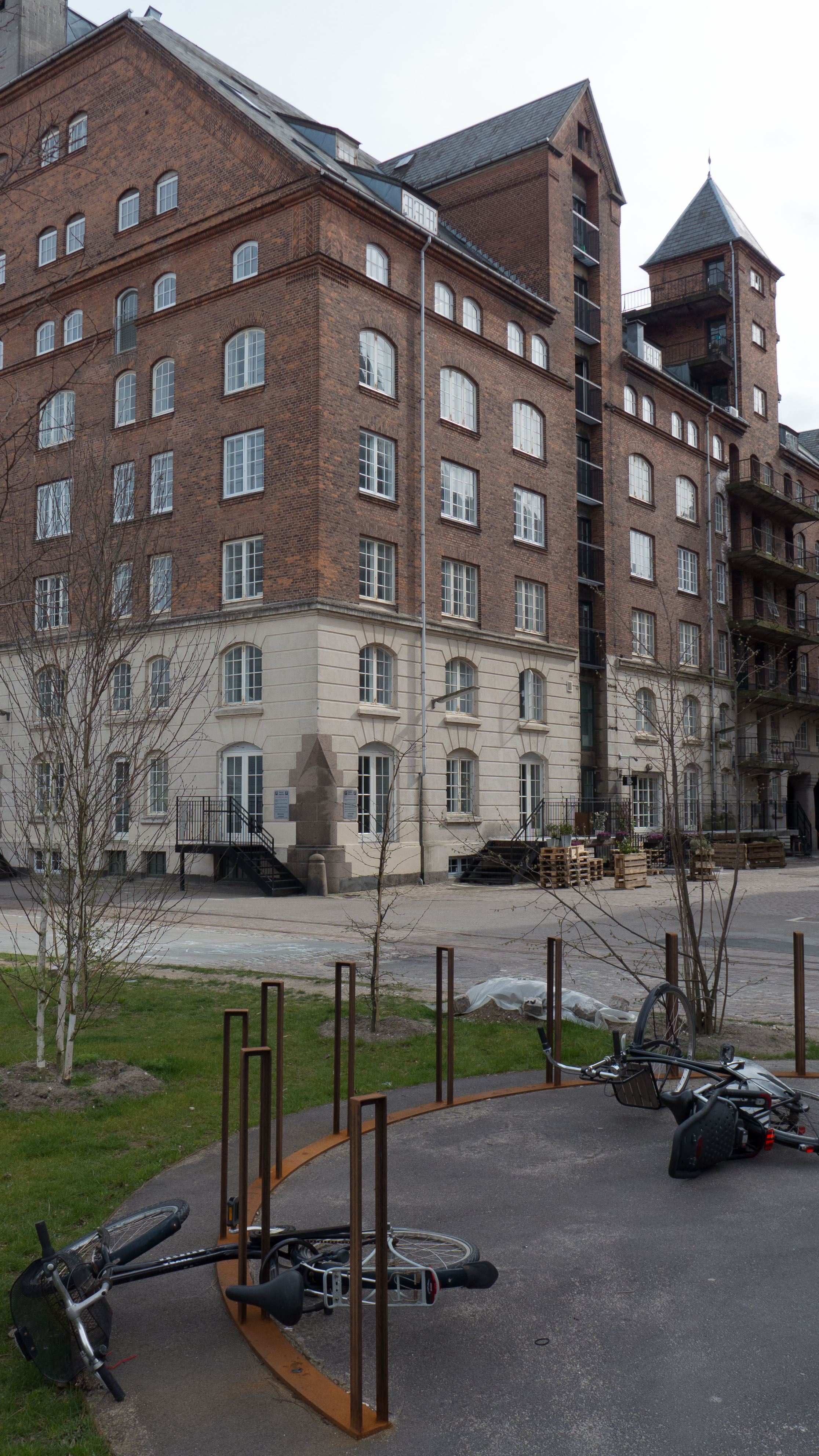
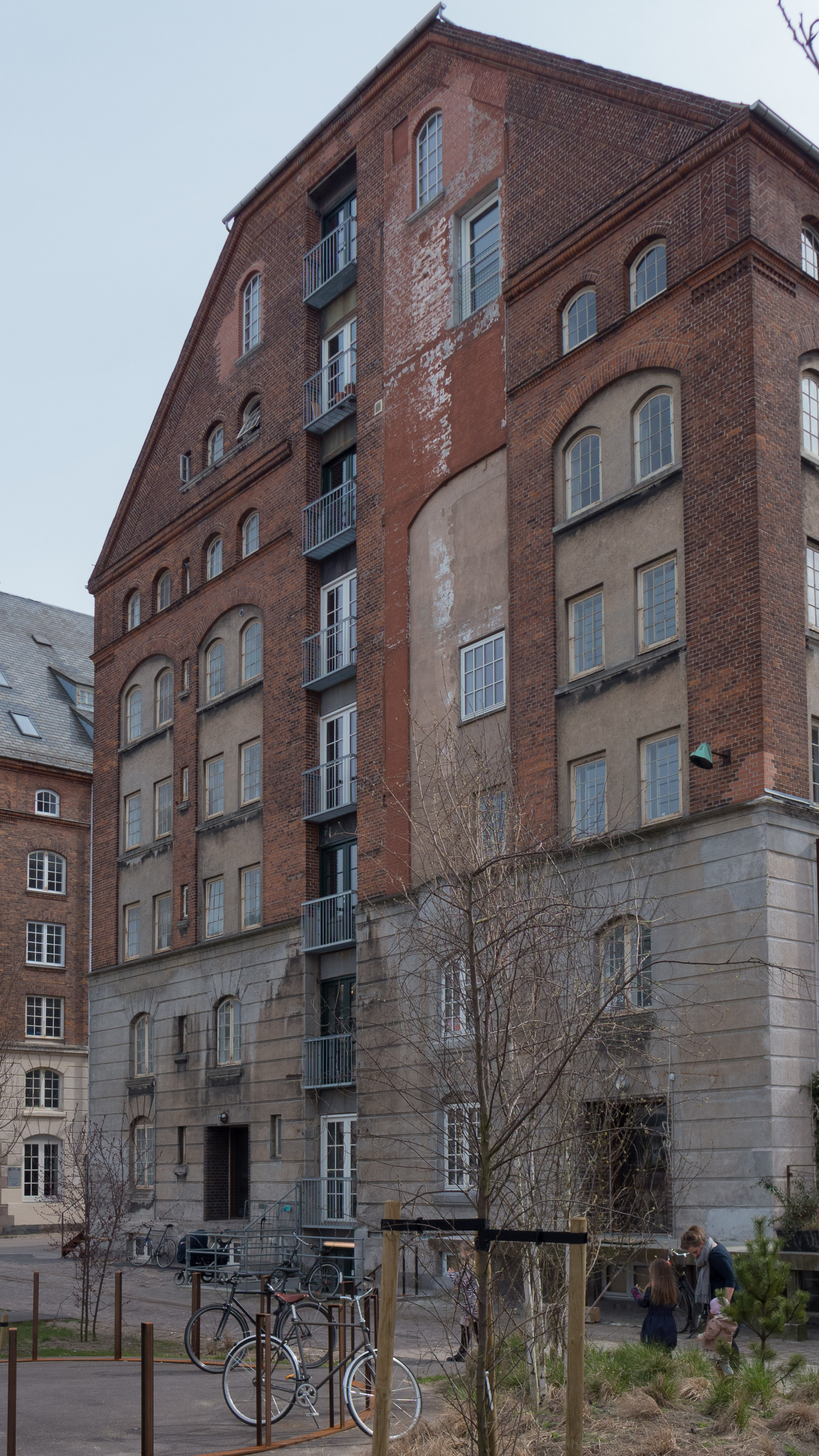
Around 1900 land on the Amager side was claimed from the sea, a new bridge 100 metres further out on the line of H C Andersens Boulevard was constructed in 1903 and the commercial harbour was extended with a new quay along what is now Islands Brygge. Large blocks of apartments were built on the new land to the east of the quay for dock workers and for workers from the ship yards in Christianshavn - part shown on the top right corner of the map here. This first worker's housing, built mostly in dark brick, survives along Njalsgade, Egilsgade, Gunløgsgade and streets running parallel to the south.
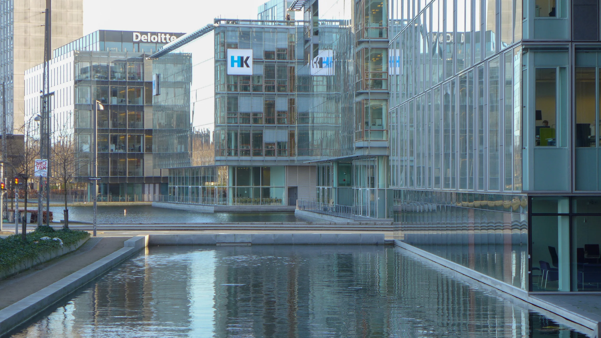
The recent redevelopment is between the housing blocks from the early 20th-century and the open water of the defences … Stadsgraven. Along Amager Boulevard and facing over the water are the tower of the Radison Blu hotel and commercial office buildings mainly occupied by large international companies like Deloitte and Sim Corp. These have large areas of water in front of them, separating them from the heavy traffic of Amager Boulevard.
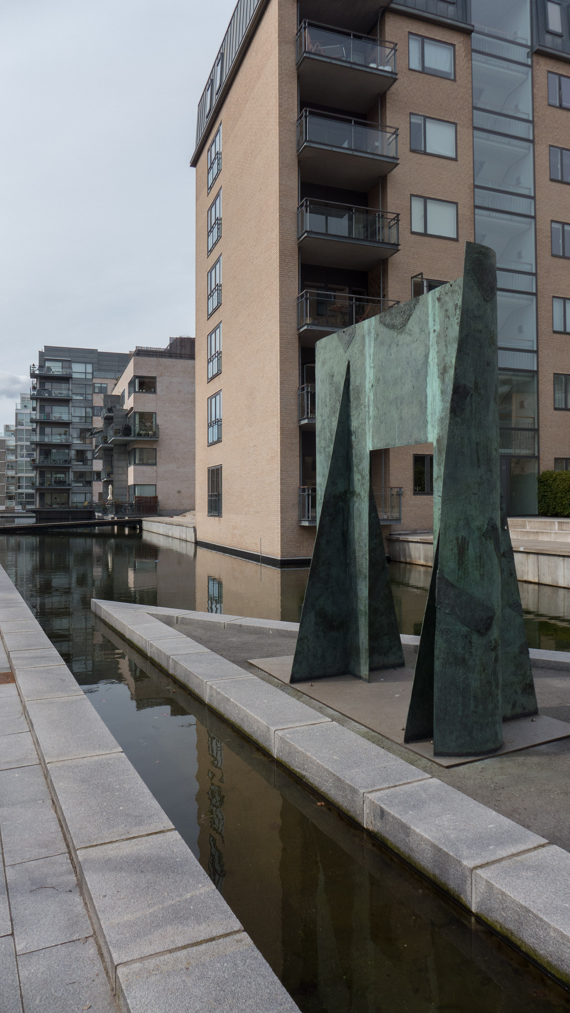

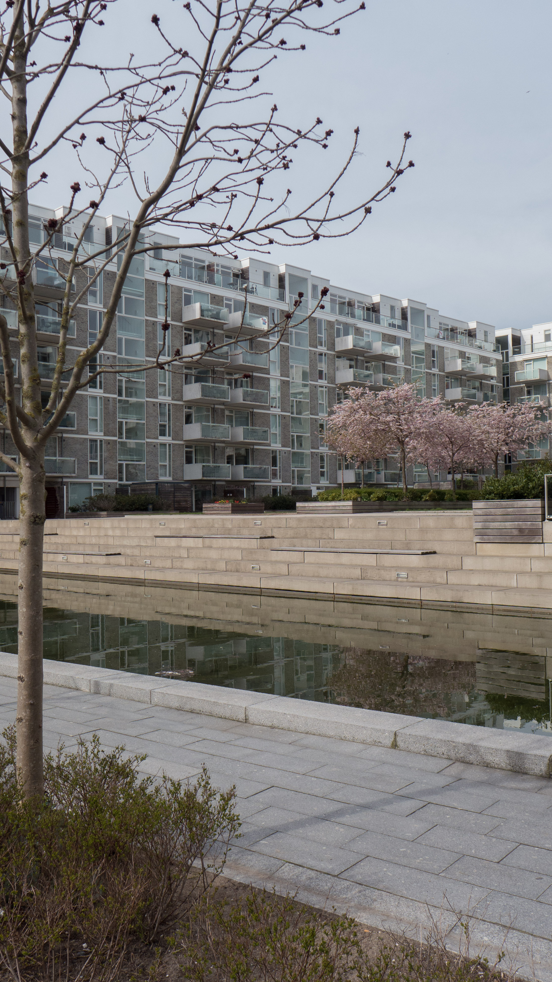
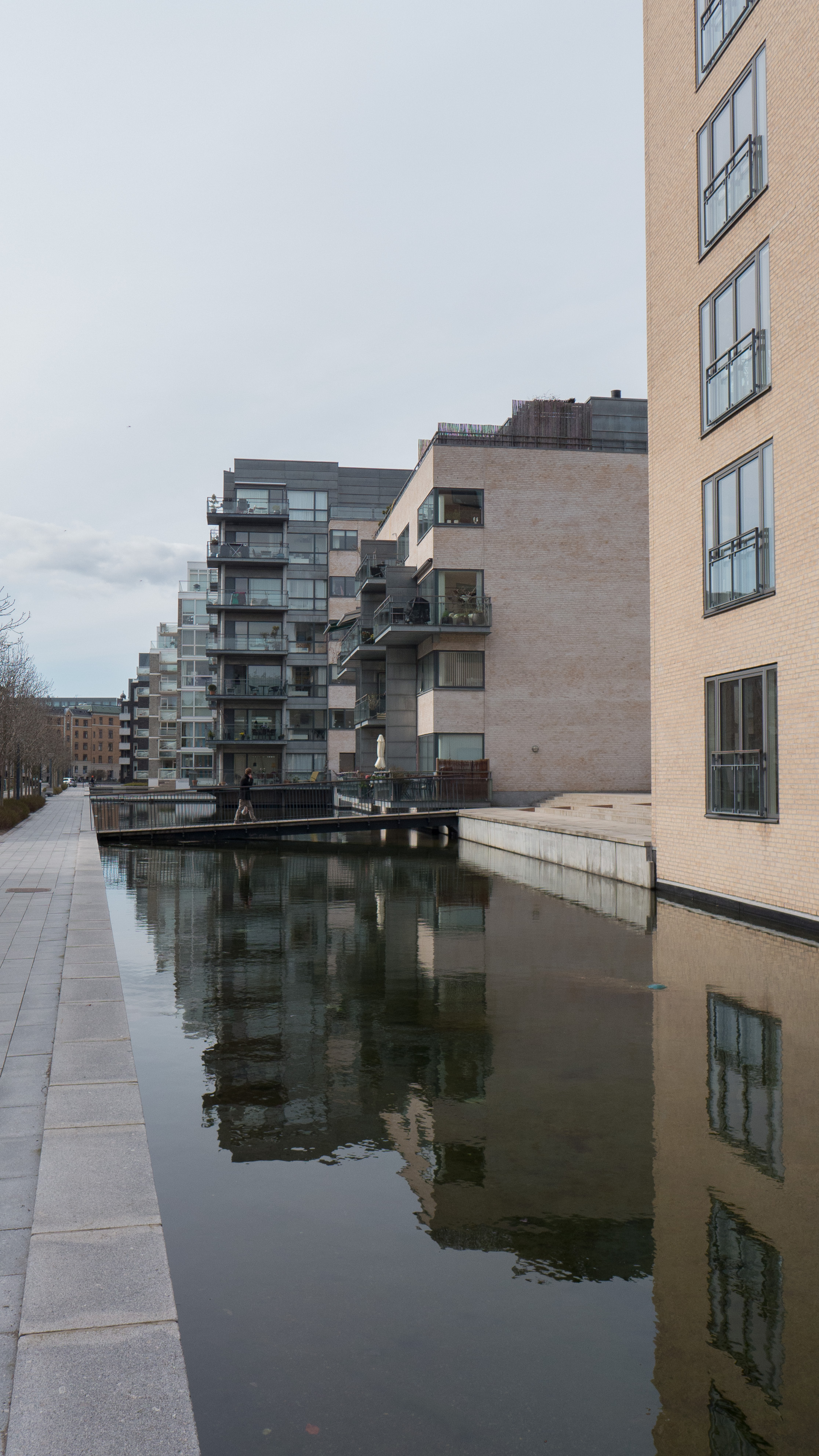
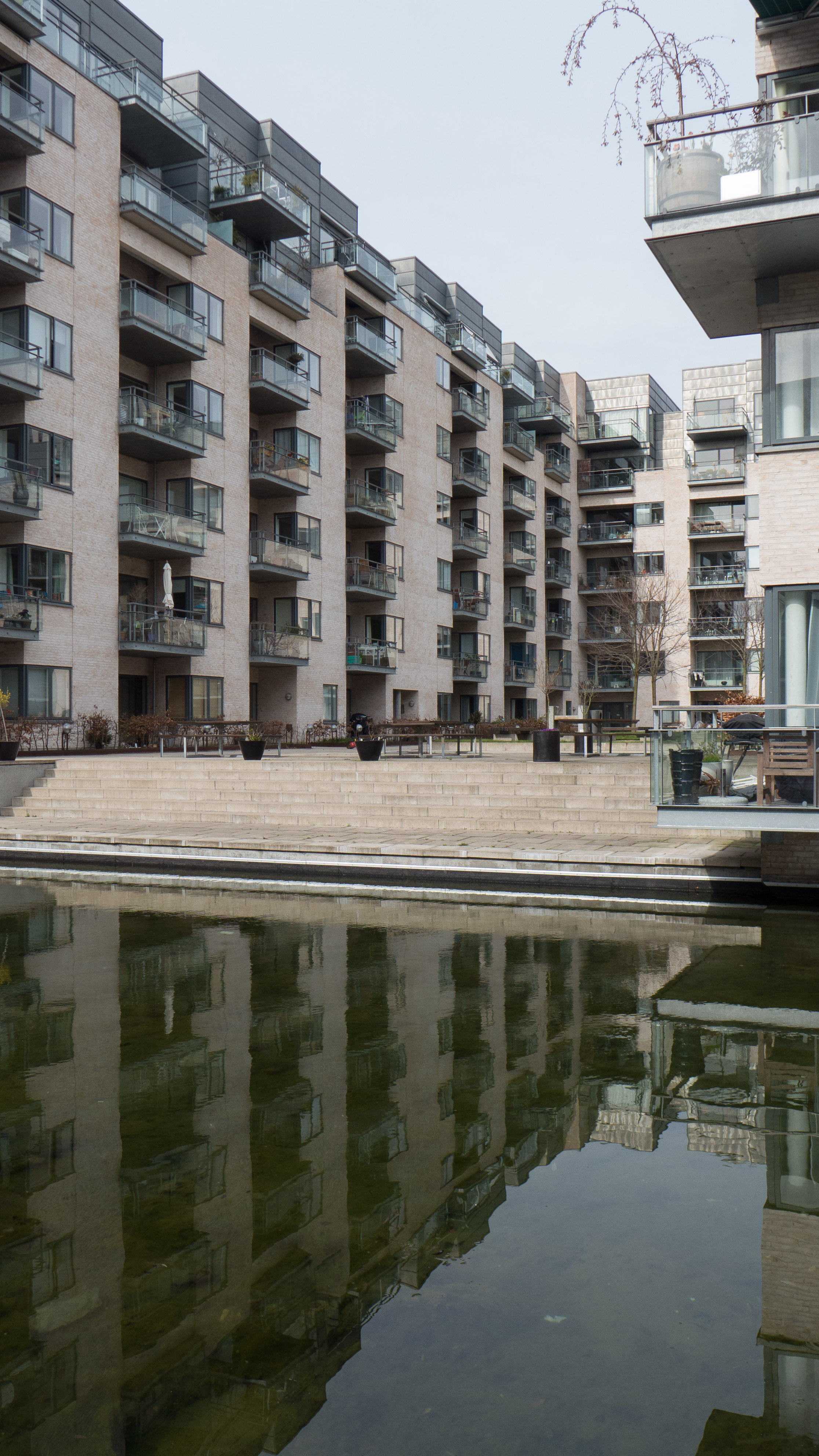
The new apartment buildings are one block back and face onto Weidekampsgade to their north. There are four separate blocks of six or seven stories with penthouses and they are really a modern variation on the Copenhagen block with balconies and so on. It is the south side of the blocks that is much more interesting in terms of the streetscape. Here you can see that two blocks are U shaped, open to the south and one L shaped with small ranges between and forming courtyards that are open to the south to Myggenæsgade.
Much of that street has been pedestrianised and a broad canal cut between Myggenæsgade and the courtyards but with a number of bridges over. This forms an east/west pedestrian and bike route separated from the relatively heavy traffic of the roads around. The water course is presumably important for coping with the run off of surface water but it also creates a sense of closure and privacy for the courtyards of the new apartments without creating a sense of enclosure on the sunny side.
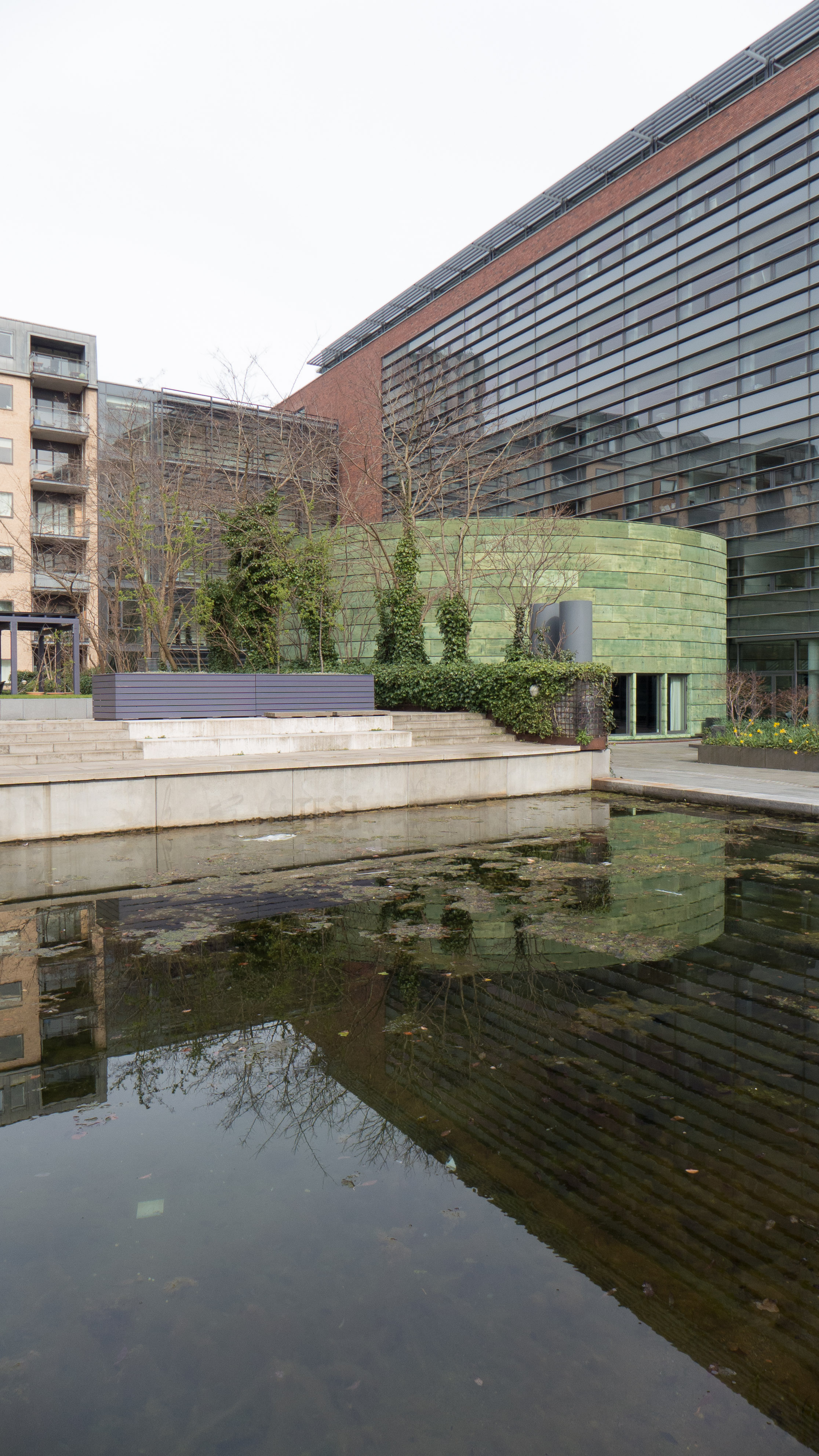
Older buildings including warehouses have been retained towards the west end of the street and add visual interest but, as in other areas of the city, partial demolition of blocks often leaves odd views of what were the backs of buildings that were not designed to be seen and can create odd angled views breaking out of the space and a sense of disrupted street lines … sometimes a strong sense of enclosure and continuous street blocks is important.