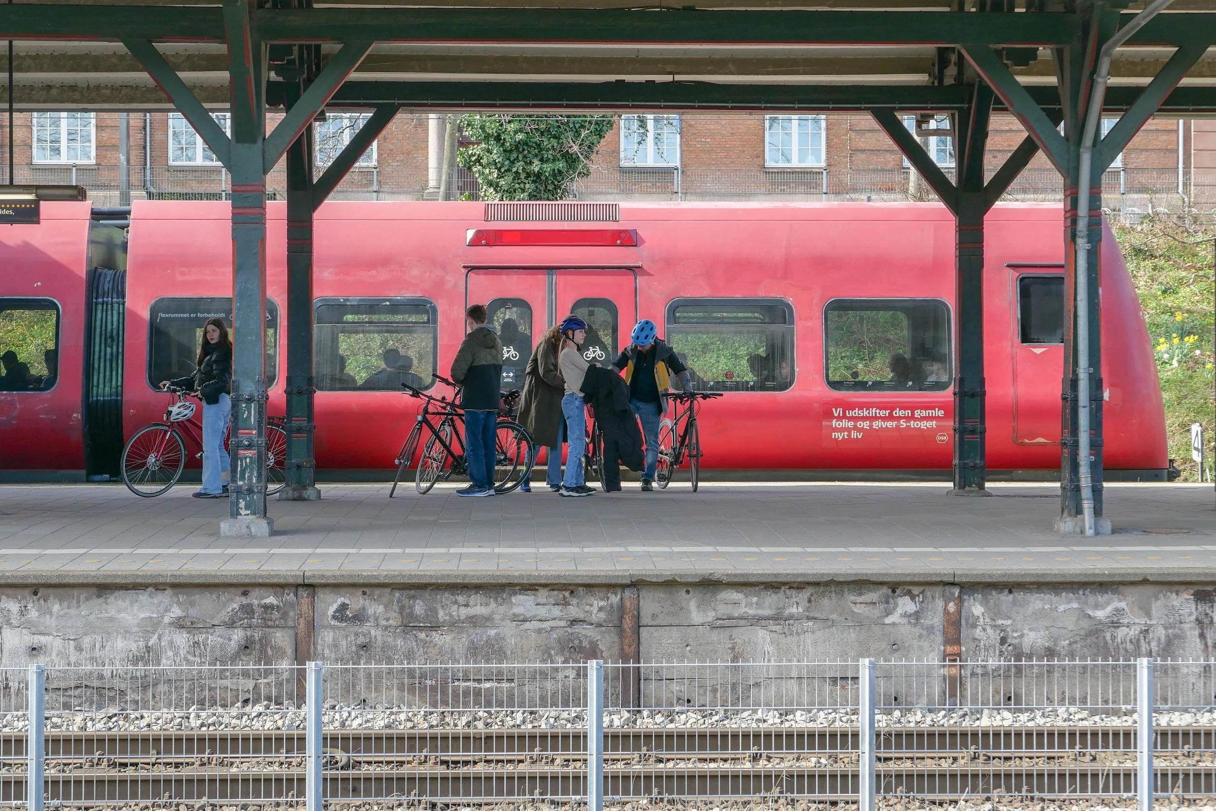
celebrating the 90th anniversary of S-tog
/Journeys today on suburban trains through and around Copenhagen will be free to mark the 90th anniversary of S-tog, the S-train system that serves the city and its suburbs and outer towns.
The first train line in Denmark, from Roskilde to what is now the central station in Copenhagen, opened in 1847 and then, through the second half of the 19th century and the first decades of the 20th century, a network of train tracks were constructed to run around and across the city.
In 1926 a commission was set up to look at electrification of the train service. They presented their report in 1929 and the first sections, with electric trains running from Klampenborg to Hellerup and from from Vanløse to Frederiksberg, opened on 3 April 1934.
S-tog now has 170 kilometres (110 miles) of track and with 87 S-train stations … with 104 electric trains with eight cars and 31 trains with four cars … S-trains and the metro system together carry around half a million passengers a day.
To the north of the city centre there are S-tog lines out to Farum, Hillerød and Klampenborg with lines out to Køge to the south, to Høje Taastrup to the west, and out to Frederikssund to the north west of the city. These lines meet and cross through the central station that is still the main traffic hub with interchanges to regional and international trains but there is also an outer S-tog service that runs in a wide arc across the west and north parts of the city from what is now called København Syd (formerly Ny Ellebjerg) to Hellerup and that crosses and links all the radial lines.
From the start, S-tog trains were promoted as not just a transport system for workers coming into the city in the morning and heading back home in the evening but also as a reliable and cheap way for citizens to get out into the countryside or out to beaches and the coast.
In 1947 this radial system of train lines became the framework for a crucial new planning proposal for Copenhagen that was to control urban development and prevent sprawl. Stations along the lines were to be nodes for commercial development or were to serve new areas of housing. It was called the Finger Plan as on maps - or at least on schematic maps - it looked like a hand spread out with the old centre of the city as the palm and new development along the fingers - each with an S-tog line - and with green spaces between the fingers that were, where possible, protected from development.


