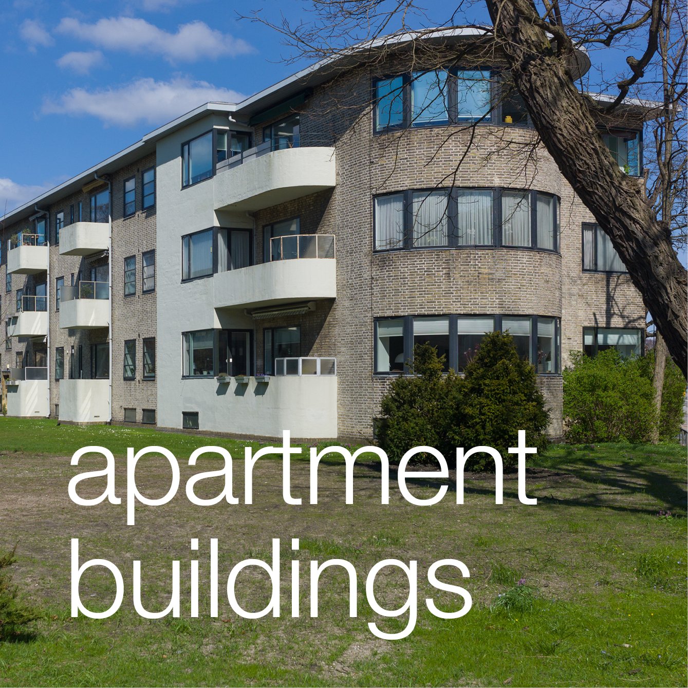
Søndergårdspark housing scheme

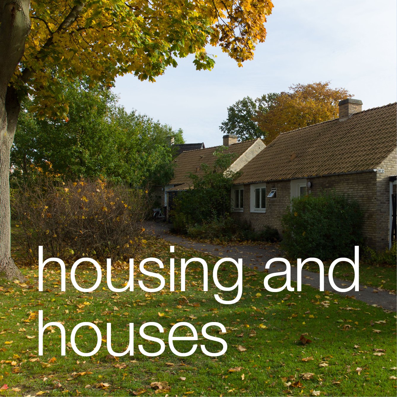
Søndergårdspark was constructed between 1949 and 1951 for the Danish Public Housing Association. 

Designed by Poul Hoff and Bennet Windinge, the plan and style of the houses were a development of schemes before the war at Studiebyen in 1920-1924 and for the Bakkehusene housing scheme completed in 1923 but at Søndergårdspark there was emphasis on a rural landscape with informal planting of trees and shrubs and the houses set at slight angles around a large open public space, like a village green, rather than along a street or around a formal square.

read more

Søndergård Park circa 1950


streetscape

In Copenhagen the streetscape - the buildings and street furniture of the urban landscape - can be amazing. This was Åboulevard yesterday afternoon.

There are so many elements that contribute visually to the success of this block of buildings and to so many other areas of the city. It is in part the high quality of the buildings themselves; in part the variety of building materials, within a relatively restrained range of colours and tones, and it is the subtle variation of the horizontal and vertical arrangement of architectural elements but again with a discipline that shows a respect for neighbours and respect for more general conventions of design in the city.

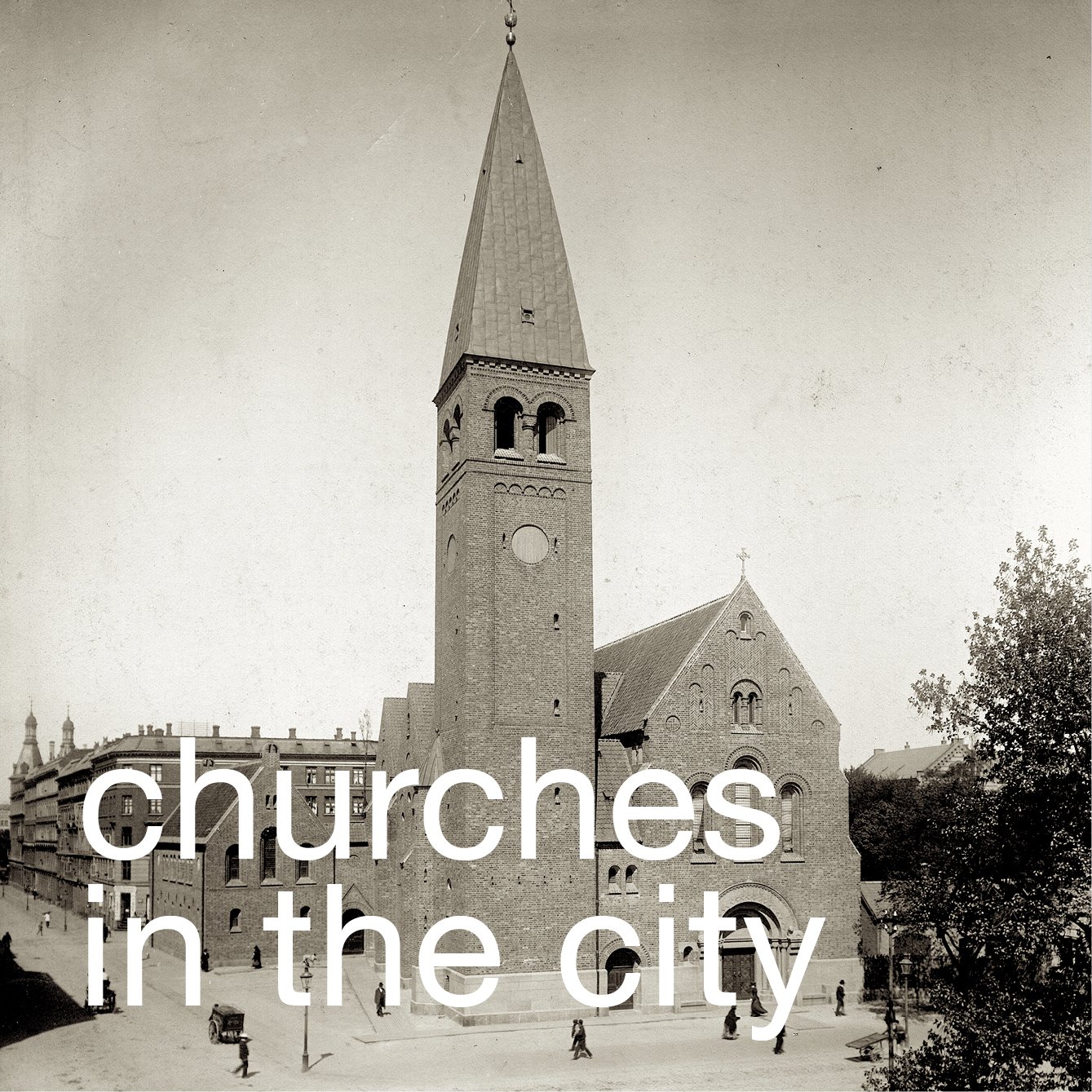
The group builds up to the centre to the church designed by Kaare Klint in the 1930s that is the tallest but also the most important building in the group.

As in so many streets in the city there is a slight curve to its line so that the view is contained … the sight line is gently closed off as it would not be with a long straight road … and the curve presents different angles of view as you progress along the street and also creates a greater variety of effects from the shadow and light on the facades as the sun moves round.

There are other obvious features or rather, I suppose, a lack of features as there are few intrusive signs, either for traffic or for individual businesses, and street lights are suspended from wires across the road so there are few posts or stanchions either blocking the pavement or interrupting the view.

What cannot be seen in this photograph of course is the quality of the paving … as in most  streets in the city there are paving stones set along the direction of movement with stone setts or cobbles along the kerb and immediately in front of the buildings. These are in shades of grey and buff so form a consistent but sombre base to the buildings and add some texture. That the stones and cobbles run with the line of the pavement might seem obvious but in so many cities not only is paving of poor quality and a jarring colour but is set across the pavement breaking the line and direction of movement.

This street follows the course of a river that was created in the 16th century along a dry valley to take water from a lake, fed from the natural drainage of the wooded hills north of the city, but diverted with damns to feed the lakes around the west side of the historic city and bring in fresh drinking water. This is now in a culvert below the road but there are plans in hand to reinstate the open river as part of contingency plans to cope with heavier rain falls and more dramatic storms because of climate change. There will be more planting and far fewer cars that will probably be taken down into new tunnels below the street. 

Åboulevard is one of the main roads out of the city on the west side. In the historic centre of the city and in streets of small private homes you see the same care and the same investment of thought and money in the finish of the urban landscape. As with so much else with architecture and design in Denmark, Danes rarely comment … or rather they comment if it is wrong or done badly because the assumption is that it should and will be done properly.

Nybrogade - looking across the canal from Thorvaldsens Plads


buildings on the north side of Åboulevard with Bethlehems Kirken by Kaare Klint


Krusemyntegade looking towards the Jerusalem Church. It is common in the city to find that people move seating and planting out onto the pavement. 


Rysegade beyond the lakes looking west - a subtle rhythm of vertical features and horizontal lines

Musikkonservatorium, Rosenørns Allé


On Friday afternoon the light across the front of the Musikkonservatorium on Rosenørns Allé was sharp and clear so it was a good time to take some photographs. 

This building was originally Radiohuset, the recording studios and concert hall of Danmarks Radio - the Danish Broadcasting Corporation. 

Work started in 1937 but it was not opened until 1945 when a large concert hall was completed. 

The architect for the work was Vilhelm Lauritzen who was born in 1894 so he was slightly younger than Kaare Klint and Mogens Koch who were both born in 1888 and Lauritzen was slightly older than Arne Jacobsen who was born in 1902. The dates are only significant in that it is important to see Lauritzen within a time frame of contemporary architects and designers. He studied at the Royal Danish Academy of Fine Arts and, after graduating in 1921, he founded the practice of Vilhelm Lauritzen Arkitekter. 

His earliest works were designed in what is generally described as a classicist style but after traveling in central Europe, where he looked at Functionalist architecture, his designs became much more identifiably Modernist. His first major work was the Daells Varehus department store from 1928, in the centre of Copenhagen on Krystalgade and now the Hotel Sankt Petri. The first designs for the new buildings for Danish Radio are dated 1934 and three years later he won the competition to design the first Copenhagen Airport. So, within a few years, a department store, the headquarters of a national radio broadcasting company and an airport … possibly the three major new building types of the 20th century.

At Radiohuset there were originally two blocks running along the main street frontage and facing south onto Rosenørns Allé with the Lav Fløj (Low Wing) of three main floors over a semi basement that is hard up to the pavement. It is a deep range with a central corridor lit from the ends and offices on both sides. To its west is the Høj Fløj (High Wing) of six storeys in line but set back from the raod and with the canopy of the entrance towards but not at the junction of the two ranges. To the east of the Low Wing and set even further back is the concert hall, a complex trapezoid plan with the entrance into the concert hall from the side street, from Julius Thonsens Gade, and with an open public square at the corner. 

The exterior of the buildings are marked by long continuous runs of window with unbroken horizontal bands of wall above and below and few horizontal or vertical features that project or cast a shadow - so no sill bands, cornice or pilasters - which gives the building its simple, clean,‘modern’ look. If anything rather mundane if not stark now but of course it would have been novel and possibly controversial in the 1930s. A main feature of the exterior is the facing with rectangular, pale yellow, glazed tiles set vertically and set with each row off-set by half a tile from the row below and above … so like brickwork.

The main building material is concrete to create wide unbroken internal spaces. In the area behind, in the angle between the blocks on the street and the concert hall, there are studios and practice rooms on the lower level but an important and early roof garden above.

For lamps and fittings in the new buildings Lauritzen worked with Finn Juhl.

There were further works to enlarge the building in 1958 - when a new wing, the Ny Fløj, was built along Worsaæsvej at the west end - as DR expanded the area used for television. Further work was undertaken in 1972 although by that stage much of the television side had been moved to Gladsaxe to the new TV-Byen buildings.

When new buildings and a new concert hall, DR BYEN, were constructed in Ørestad, both Danish Radio and Danish Television moved to that site in 2006 and in 2008 Kongelige Danske Musikkonservatorium, The Royal Danish Academy of Music, took over the concert hall, studios and practice rooms on Rosenørns Allé after work to update the building were completed, appropriately, by the practice of Vilhelm Lauritzen Architects that continued after the death of its founder in 1984.


The bronze sculpture at the main entrance called, I believe, Radiofonifigurgruppen, was created by Mogens Bøggild, Professor of Sculpture at the Royal Danish Academy from 1955 until 1977. Bøggild, who is known for sculptures of animals, worked slowly and this complex group was started in 1945 but not completed until 1950. It has a naked woman squatting down and placing a small child on the back of a swan that is dropping down, presumably into water to swim away, and a large eagle, carrying a fish, swooping down and over and away from the woman and child.


the Caritas Well

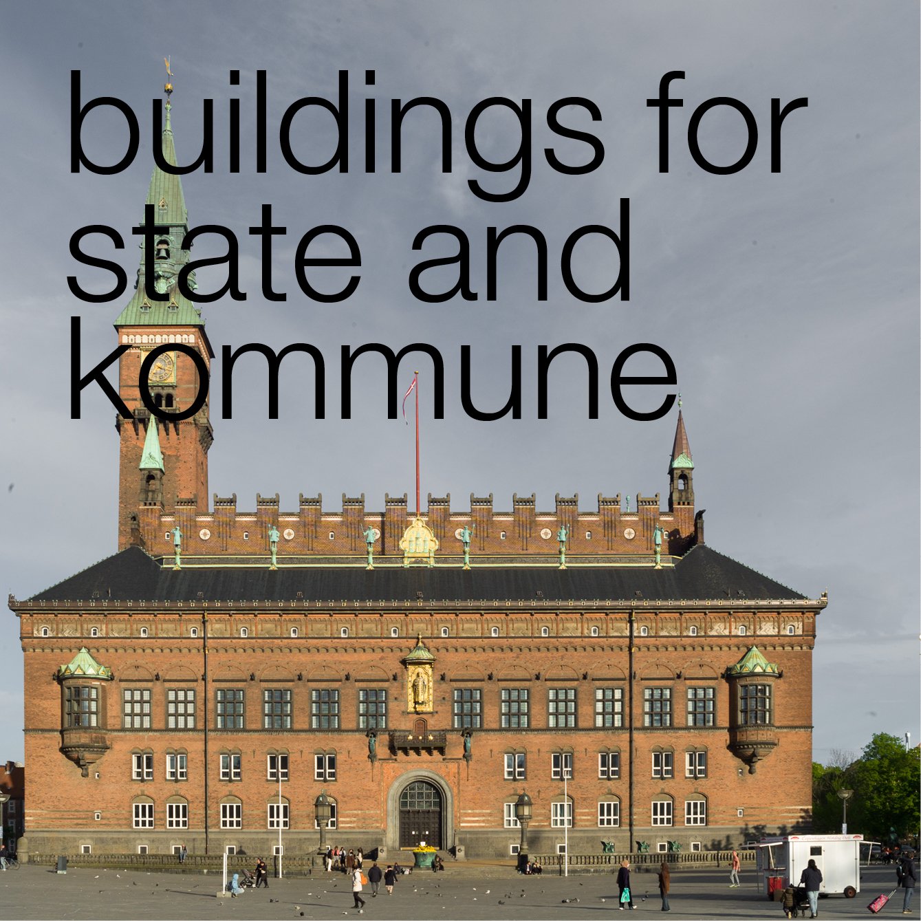
The Caritasbrønden or Caritas Well on Gammel Torv was constructed for the King, for Christian IV, in 1608 when a new city hall was built across the centre of this open space to replace a medieval city hall that had been on the east side of the square.

Just over a century later, that 17th-century building was destroyed in the Great Fire of 1728 and a new city hall was built on the same site. When that building in turn was destroyed - in the fire of 1795 - a new city hall was built on the west side of Nytorv and the two squares were joined into a single open space. An outline of the 17th-century hall is marked with stones set into the cobbles of the square.

The group of figures in the centre of the basin of the fountain, representing the virtue of love or charity, was first carved in wood by the German artist Statius Otto before it was cast in bronze.

The fountain was not just ornamental but was part of a system supplying fresh water to the city.

This photograph was taken on the Queen’s birthday, on the 16th April, just after the royal carriage had progressed along Strøget to take the Queen from the palace to a reception at the city hall.


Caritas Well and the city hall from the upper end of the square in the 18th century


UN City by 3XN

Actually, the reason for walking along the Langelinie quay was not to take photographs of a man painting a cruise ship - that was just a fortunate coincidence. It was the right time of day and the weather was good to take a photograph of the new United Nations building on Marmormolen in the old Free Port. The building appears to be almost finished and cranes on the adjoining site have been removed and the Oslo ferry had not left on it’s late afternoon sailing so gives a sense of location and a sense of scale.

read more

the first cruise ship of the Summer?

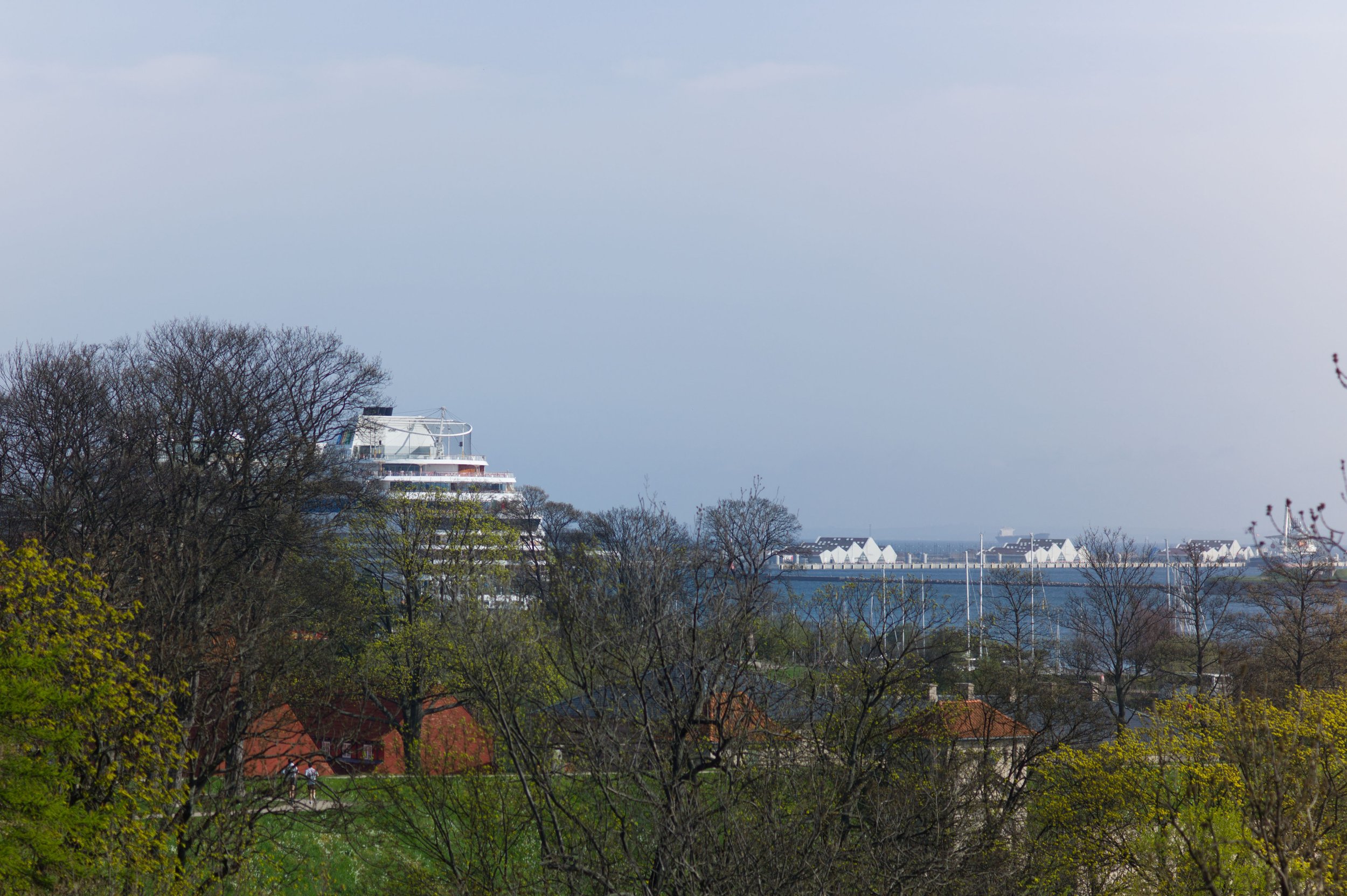
When I looked out from the apartment earlier today this was the view.
Over the trees of Kastellet was what looked distinctly like a cruise ship at the Langelinie Quay.
The first I’ve seen this year. 

Wasn’t it Aristotle who said that one cruise ship does not a Summer make? … so I wandered over that way later in the day to find in fact two liners, all the cherry blossom out and swarms of tourists taking groupies at the Little Mermaid. Summer really must be here.

If you don’t know Copenhagen and are not sure where the statue of the Little Mermaid is then you can see all the crowds on the left of the view. The Little Mermaid is hidden by the column … someone told me that you can’t publish images of the statue without permission so I’m not taking any chances.

When I got to the quay I came across this slightly odd scene. One of the crew was out with some white paint and a paint roller. Surely someone should have given him either a larger roller or a smaller ship to paint. I was a bit curious to know how he was going to do the other side but got bored waiting for him to get that far.


guide books to the architecture of Copenhagen

The best pocket guide to the architecture of the city, though admittedly for a large pocket, is the Copenhagen Architecture Guide by Olaf Lind and Annemarie Lund that was published by The Danish Architectural Press. The first edition came out in 1996 but a revised edition was published in 2005. This is still available from book shops and covers the major historic and modern buildings in the city and some major buildings or developments in the outer area going out as far as Taastrup to the west and Kokkedal to the north. 

There is an introduction with a general history of the city and then the inner area is divided into nine sections on a strict grid with a key map with the buildings numbered at the start of each section. This is rational but not always easy when walking around particularly in the densely-packed inner area so, for instance, the central station and the buildings around the lower lakes are in one section and the buildings around the upper lakes in an adjoining section and on a different map. This is really a minor quibble given just how much information is packed into this volume. 

The Danish Architecture Centre has produced a series of slim (if tall-for-most-pockets) guides to the most recent buildings. These were published in 2007/2008, in 2009 and the most recent in May 2013.

The first follows the structure of the overall city guide with 81 buildings or developments divided into ten areas of the city and each section starting with a map.

In 2009/2010 the revised edition changes the arrangement with 107 recent buildings or developments marked on a single fold-out key map at the back and with buildings grouped into seven subject sections - each with a short introduction by an appropriate professional. These sections are culture and leisure; urban spaces; homes; public buildings; office buildings; service developments (so including metro stations, bridges and cycle routes) and finally “helhedplaner” or masterplans … 17 distinct areas in the city where major work was in hand or proposed. I think that this edition was only published in Danish

The latest version from 2013 follows that new format with the same section headings but expanded to 137 buildings or schemes and with new and slightly longer introductions by new authors and with new photographs. This is published in an English version.

Both the 2007/2008 and the 2009/2010 editions were clearly linked with the Danish Architecture Centre on-line index on their web site which is a very useful starting point for information about the architect, engineers, client and in many cases the cost of projects and all under the title Copenhagen X. This data base is still being maintained and updated and still works if you tag a number of sites that you want to visit and then produce a customised guide book as a pdf file with maps, some images and basic but useful information so normally address, architect, engineer, floor area and so on. Downloaded to a tablet computer, this is a practical way to look at a group of specific buildings and usefully they can be put in the order that is most appropriate for the route you plan to take.


Ny Agenda 2, Danish Landscape Architecture 2009-13

This second volume of Ny Agenda covers 39 landscape schemes from 29 different offices that were undertaken and completed between 2009 and 2013 - a final selection from 109 submissions. These have been grouped into five sections - New Sobriety, Heritage Reinterpreted, Exercise through Play, Urbanisation and Climate and Growing Power After All - to cover major trends that have been identified in design in landscape architecture over the five years. There is a foreword and an essay by Annemarie Lund on Old-time Values and an essay by Lisa Diedrich on The Danish Way - A European Glance at Danish Landscape Architecture.

review


Copenhagen Green


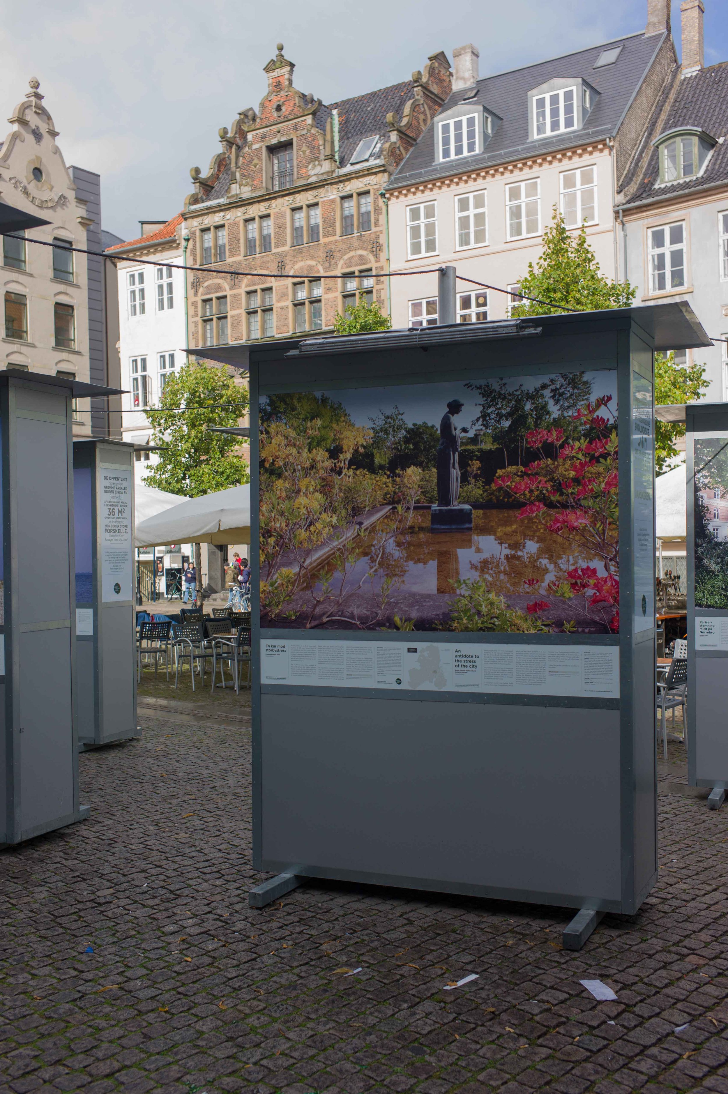
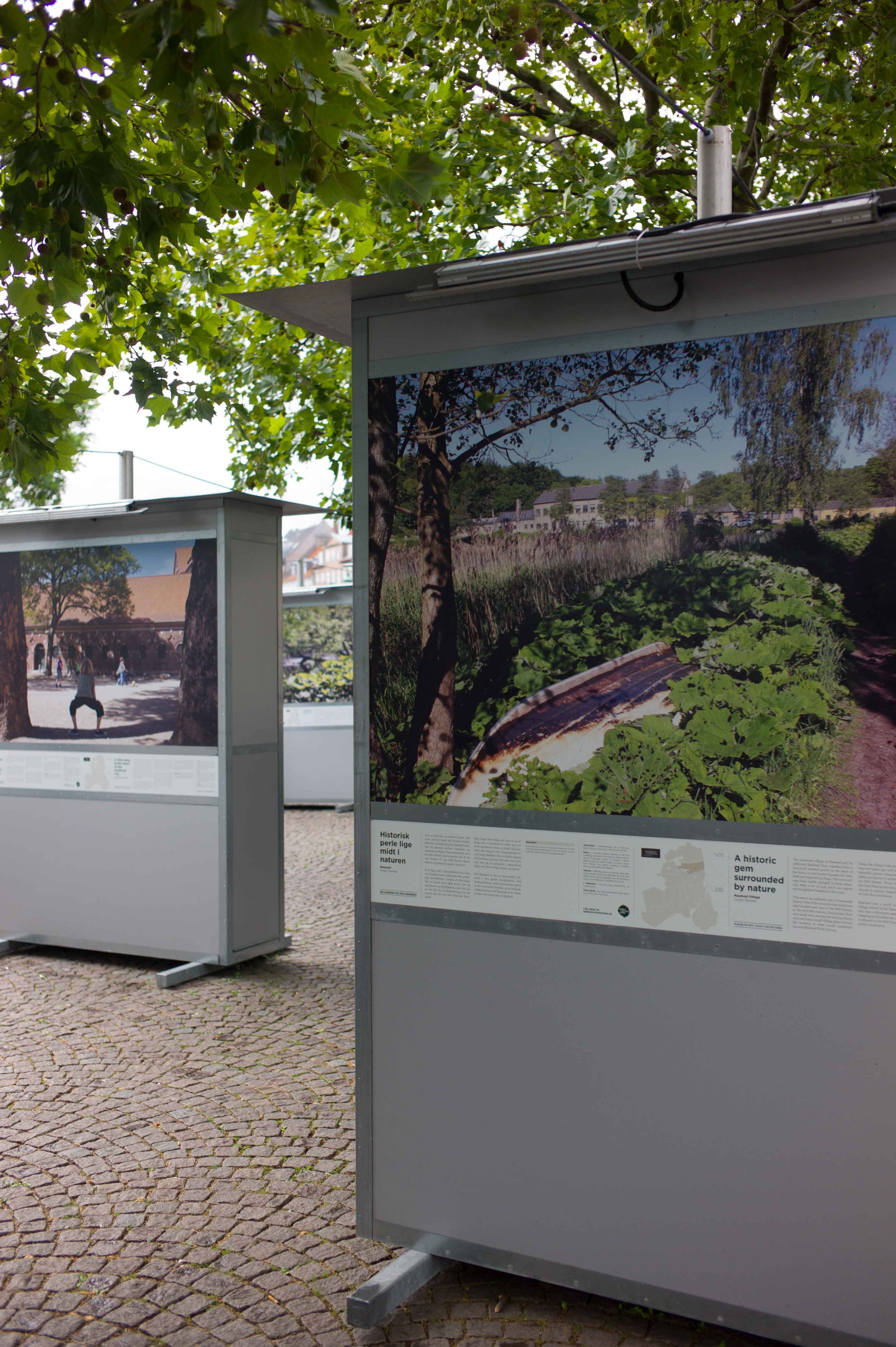
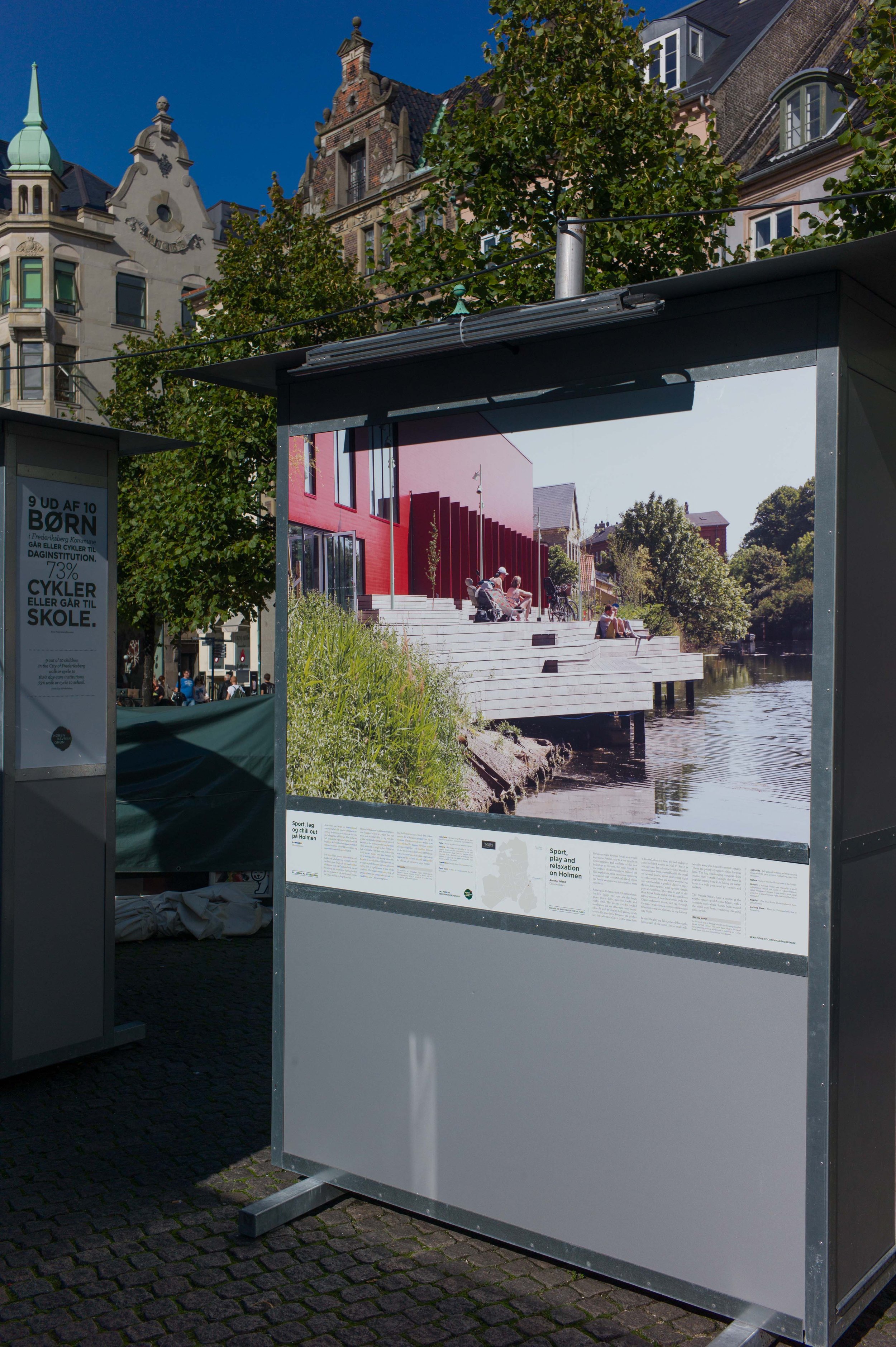
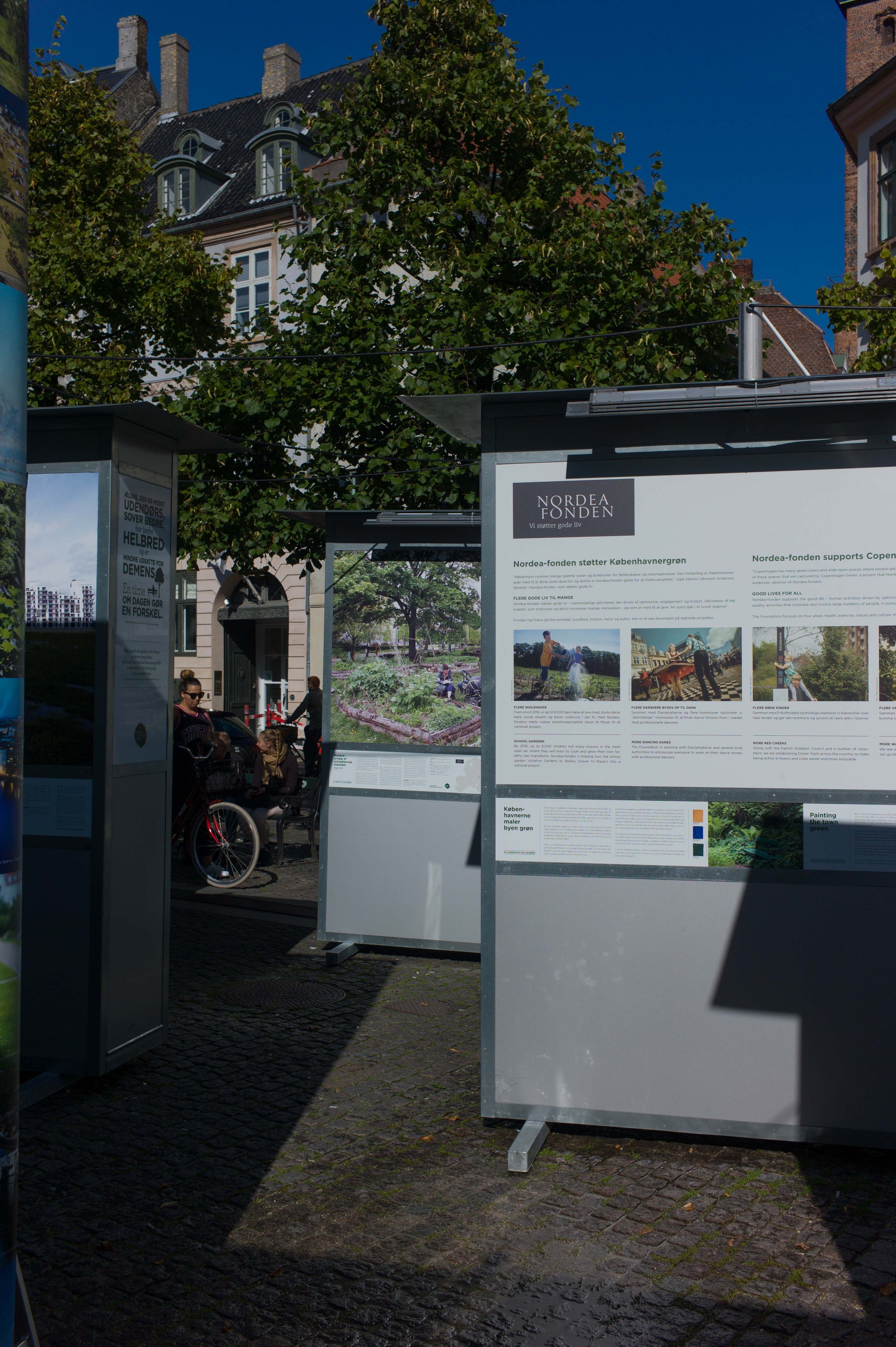
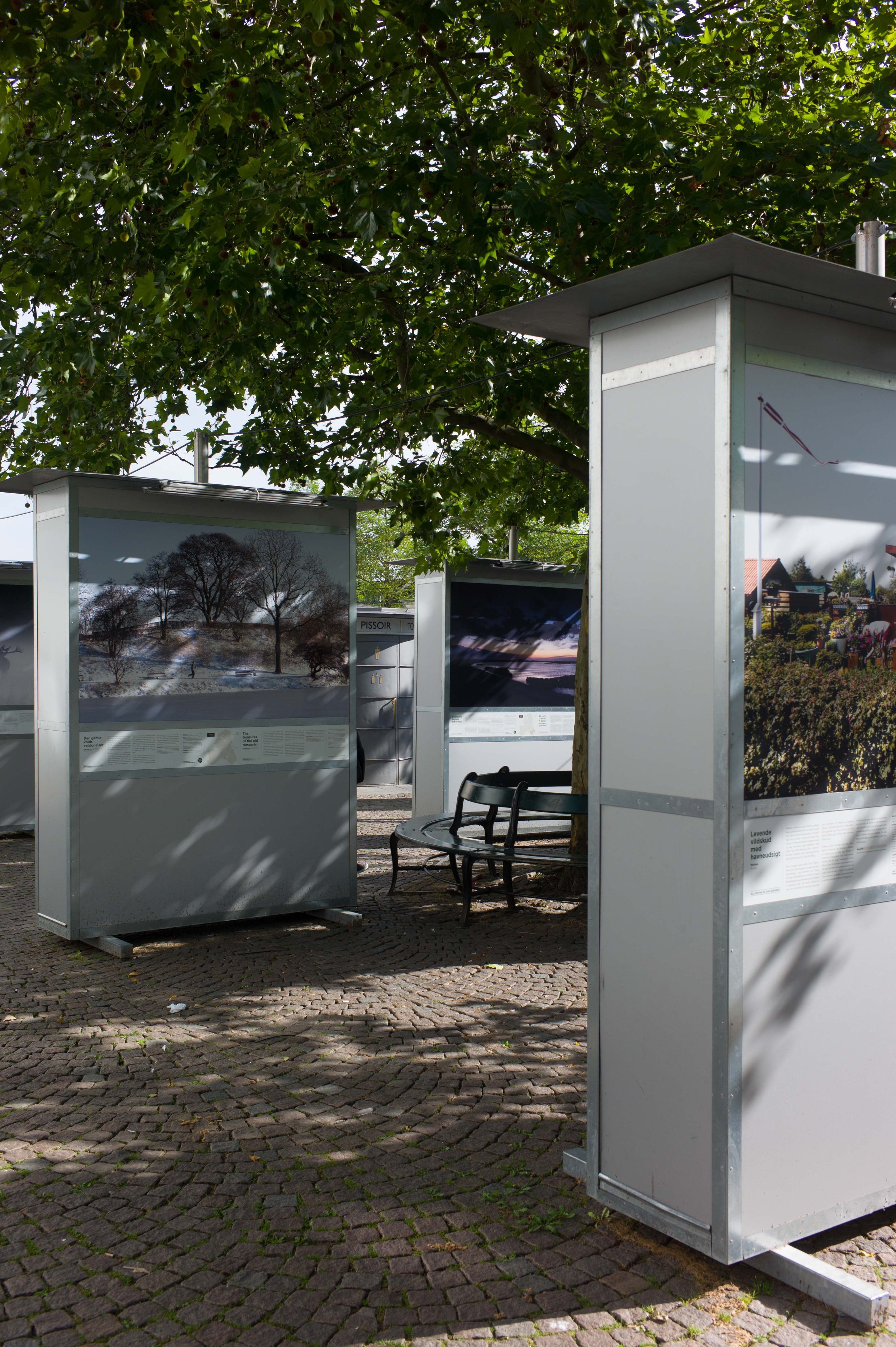
Last Summer there was an outdoor exhibition of photographs on Nytorv in Copenhagen, the large square in front of the old 18th-century town hall, and then later, from the middle of August, it was moved to the other end of the Walking Street onto Højbro Plads where it remained until the end of October.

The aim of the exhibition was to “strike a blow for the good city life and for the city’s green and sustainable places.” Photographs selected showed 100 sites around and just outside the city and showed all seasons … so from well-used public spaces like Frederiksberg Have (Frederiksberg Gardens) and the Søerne or lakes, that arc around the city centre to the west and north, to less well-known areas of green and planting like Kineserbyen (or the Yellow Town) and roof-top vegetable gardens of Østerbro and from the Spring blossom of Bispebjerg Kirkegård (cemetry) to the Winter frost covering Pinseskoven forest.

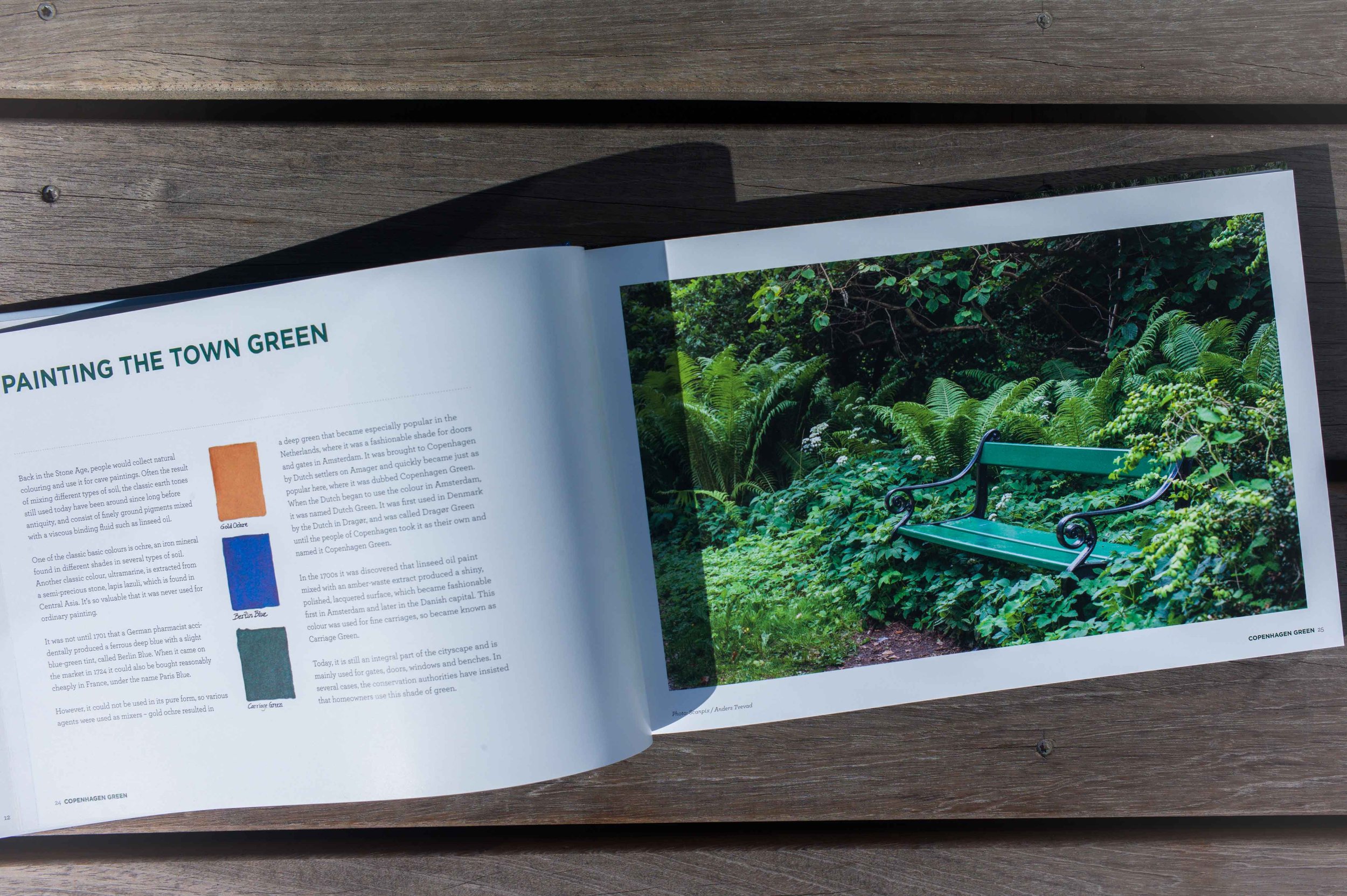
The photographs were stunning, particularly at the size they were printed, but the information and back stories of the long labels were also interesting and important … for instance there was one photograph and panel about the history of the distinct dark green paint used in the city for gates, doors, windows and benches.

There were clear location maps for finding the places profiled.

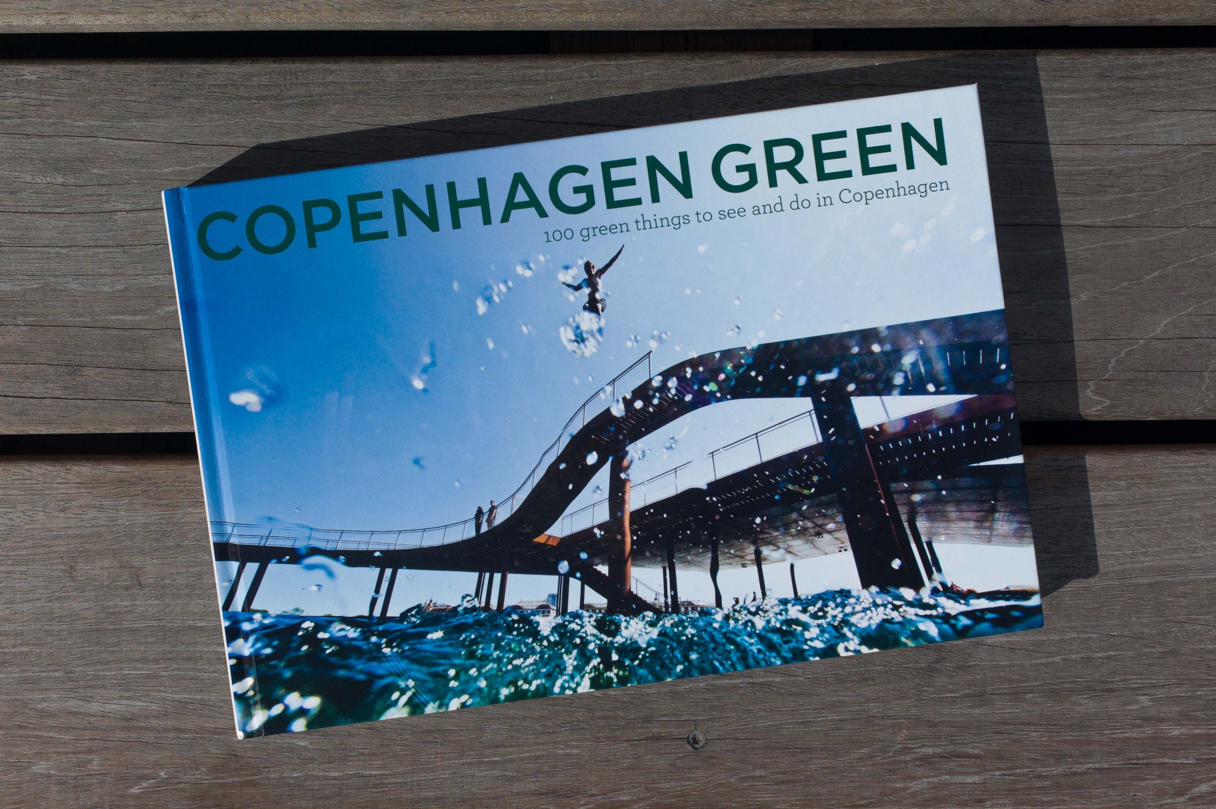
A book was published to accompany the exhibition, Copenhagen Green - 100 green things to see and do in Copenhagen, by Susanne Trier Norden and Poul Arnedal, for Foreningen By&Natur (June 2014)

There is also a fantastic web site, Discover Green Places in Copenhagen, with all the photographs and text but also additional maps and route directions ... you can browse from your armchair or plan a tour or start from where you are, if you are in Copenhagen, and look for nearby places and use the map and route directions to explore the city.

photographs of the exhibition when it was on Højbro Plads


workers' housing

One thing has certainly surprised me about my move to Denmark: when Danes realise that I am not just a visitor but have chosen to move my home here they seem genuinely surprised … the almost universal response has been “but why?” as if they really feel that there are better or at least more interesting places to live. As far as I can judge, this really is not a false or feigned modesty. 

When I go on to explain that I am here to write about architecture and design there is an even more curious and equally genuine and almost universal response which is to say that Denmark is not as wealthy and as comfortable as everyone else seems to think - for a start, I'm told, the Norwegians are certainly wealthier - and most then point out that Copenhagen had some terrible areas of slum housing in the early 20th century, even in the 1970s Copenhagen was, they tell me, rather gloomy and not prosperous and that there are still areas of poor or bad housing in the city. Again this is not false modesty but seems to be a genuine frustration about Denmark generally being written off as privileged or even complacent as a country. 

I have seen the photographs of Nyhavn in the 1960s when it was very much a part of the dock and lined with tattoo parlours and bars that would certainly not attract the tourists that flock to the area now and I have read about the overcrowded apartments, the dark inner courtyards off inner courtyards and the lack of sanitation in the housing in the city around the time of the First World War. 

In part, of course, poor quality and overcrowded housing was inevitable in a city that was growing rapidly, in terms of population, but with little land available then for expanding outwards. But what is also clear is that for centuries Denmark has tried to use good design and well-built architecture to enhance and improve the lives of ordinary people and this is most obvious in a number of large well-planned housing schemes to build good homes around the city. Some from a remarkably early date.


The dark ochre-coloured houses (top) are part of the Nyboder housing scheme with 600 houses on the west side of Kastellet for navy personnel. Building work started in 1631 (that is 1631 and not a typing mistake) and some of the single-storey rows from that period survive along Sankt Pouls Gade. (above) The scheme was completed by 1758. There were small “cabbage gardens” between the rows of houses so families could stretch out their housekeeping budget by growing their own food. The king, Christian IV, realised that providing good housing meant sailors were more likely to be loyal in his service particularly as the housing seems to have been available to men after they were too old to serve and clearly the plan to encourage growing food meant that, where families lived in the houses, young boys, potential recruits to the service, would be healthier and stronger.

The houses with a pale grey upper storey are on the Brumleby Medical Association Scheme in the north part of the city just beyond the Sortedams Sø. These were built between 1853 and 1872 following an outbreak of cholera in the city and were for the “needy classes”. The scheme included a kindergarten, a bathhouse and a meeting hall.


The brightly painted houses are in Olufsvej, a slightly later street immediately south of Brumleby.


The houses that look similar to large Edwardian terraced houses in England are on the city side of Sortedams Sø. These are the Building Society Row Houses otherwise known as the “Potato Rows”. The 480 houses were built between 1873 and 1889 on the initiative of workers from the Burmeister & Wain’s shipyard who saved money in a building society and could win the right to rent one of the houses in a lottery. The large houses were originally divided into apartments to accommodate more families.

It is clear that socialism, or at least a clear understanding of social responsibility, is not simply a recent political phase of post war Denmark.

Through the summer I hope to explore the city archive for plans of these buildings and look at any documents about regulations and to look for information about the developers and architects who planned these housing schemes and about the artisans who built them.

The great apartments of Grønningen with ten or twelve rooms and accommodation for servants are important because they show how rooms in middle-class homes were furnished and used but, from a design perspective, the small apartments for workers are just as interesting. Many of these apartments still provide accommodation for the people of Copenhagen but equally they provide a context and a starting point for the design of all the new apartments and housing schemes that are being built now. If I can make sense of the material and as I get to understand more and discover more as I walk the streets of the city, I will post my thoughts here.

Designmuseum Danmark - the building

Frederik’s Hospital was built in the 1750s during the reign of Frederik V from designs by the court architect Nicolai Eigtved and, after his death in 1753, the buildings were completed by Lauritz de Thurah.

There were four main ranges set around a large enclosed courtyard, generally of a single storey but with two-storey pavilions at the centre of the fronts to Bredgade (then called Norges Gade) and Amaliegade on the axis of Amalienborg. Those central pavilions on the street fronts had high, hipped roofs and pediments with ornate carved reliefs over the central doorways.

Both fronts were set back from the street with forecourts, iron railings and gateways onto the street with ornate stone piers. On either side of the forecourts on both street fronts were tall service blocks of two full stories above basements and with high roofs with dormers. There were also yards with service buildings down each side that were screened off and divided up by high walls and gateways creating an extensive complex.

read more

Forfatterhuset Kindergarten

Forfatterhuset Kindergarten opened in 2014 although work continues on the landscape of the street immediately around the school.

The school was designed by the architectural practice COBE and is on the north side of De Gamles By in a square that is open on the north-east side to Sjællandsgade. The buildings around mainly date from about 1900 and were originally built for a hospital for the elderly. The new nursery school is in a striking and novel form but picks up the deep red brick colour of the earlier buildings.

read more

Kastellet


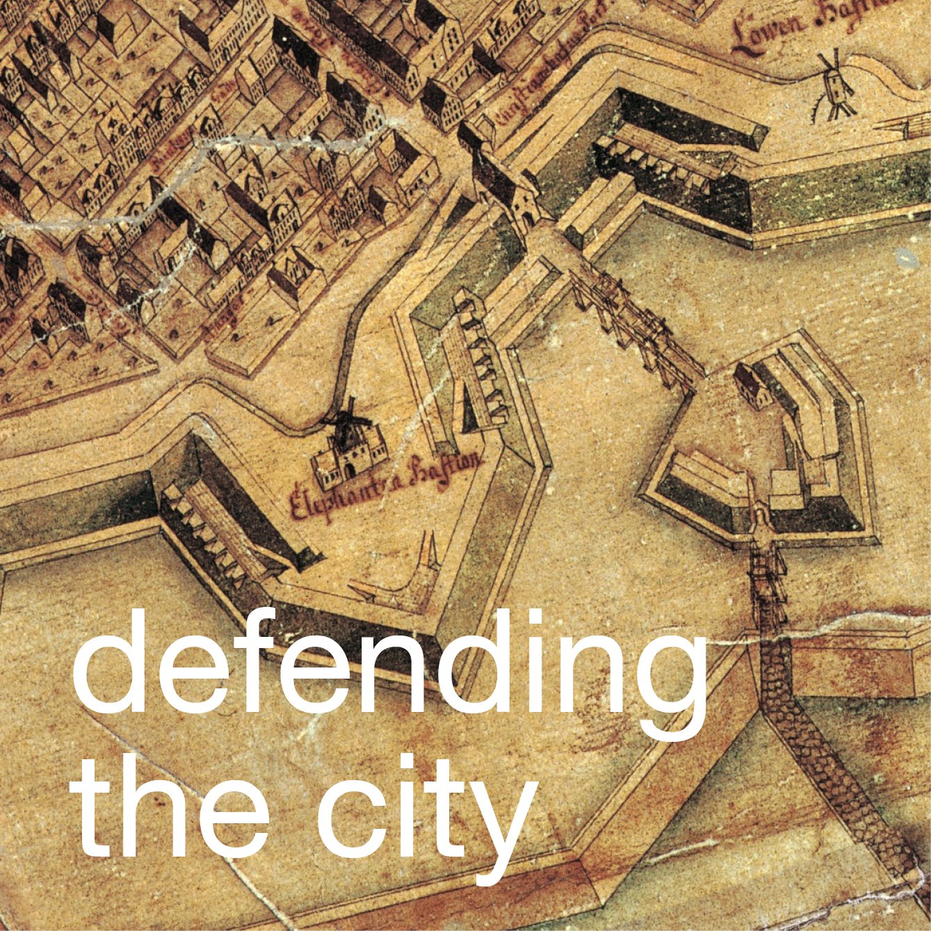
Normally referred to as Kastellet, the citadel in Copenhagen is a well-preserved, star-shaped fortress that was built in the 17th century to guard the approach to the harbour … it was constructed well over a kilometre east of the east gate of the city with a clear view over the sound.

Work started in 1626, in the reign of Christian IV, with the construction of Sankt Annæ Skanse - St Anne’s Redoubt - but work and ongoing alterations continued through to the 1660s, with major remodelling and improvements after the Swedish Army attacked the city in the war of 1658-60. The complex of defensive embankments, moats and military buildings were ostensibly complete by the 1720s in the arrangement that can still be seen today.

read more


Torvehallerne, Israels Plads


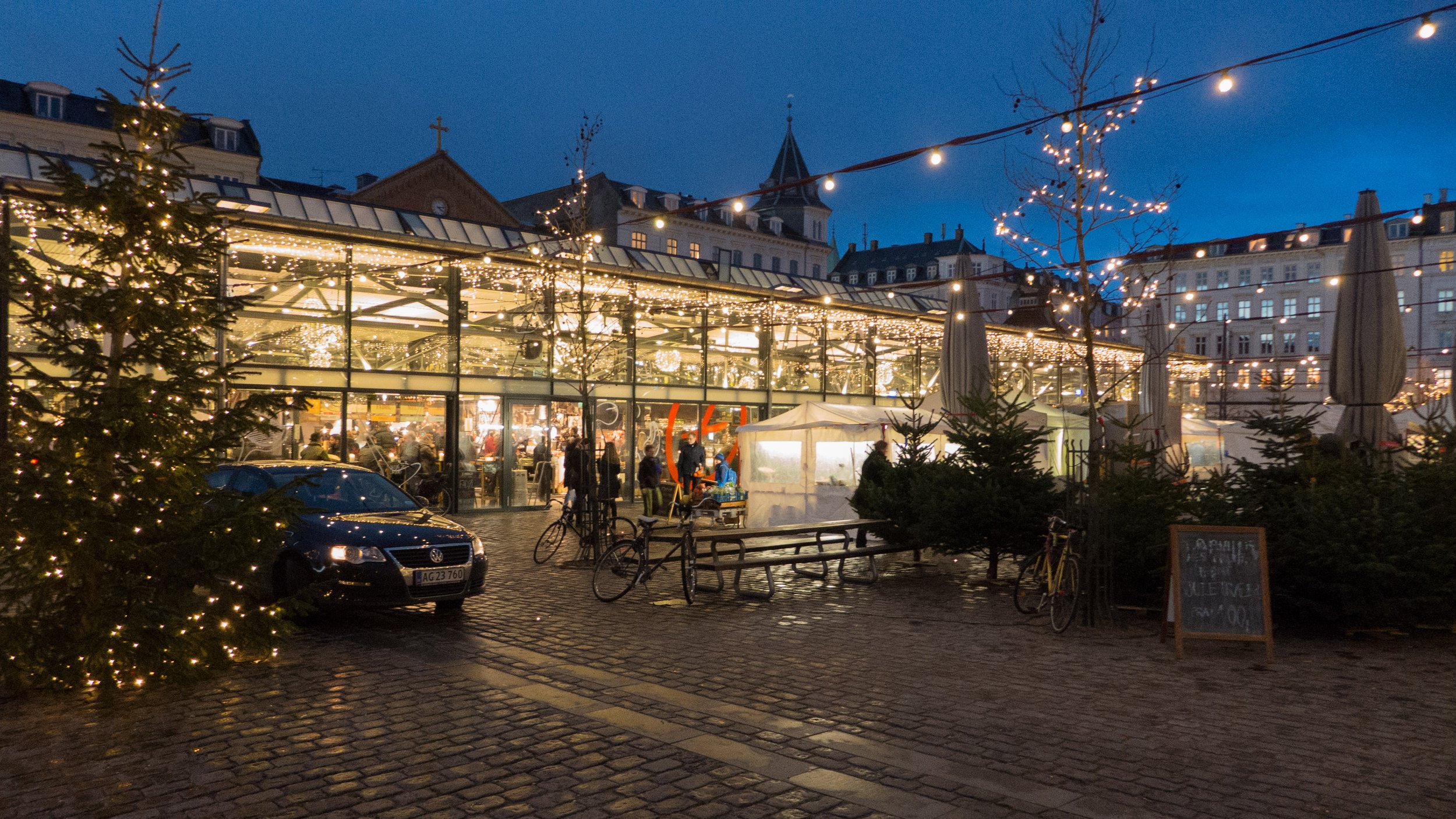
Just a block to the west of Norreport metro and railway station is Israels Plads - a large square that was laid out in the late 19th century once building immediately outside the defensive walls of the city was allowed.

Across the north side of the square is Frederiksborggade, a busy road of shops and apartments leading out to the lakes and the bridge to Nørrebro. There are large and quite grand apartment buildings on the two long sides of square but the south end is open to Ørstedsparken - a green space with mature trees and a large lake that remains from a section of the moat that ran around the outer side of the city defences. 

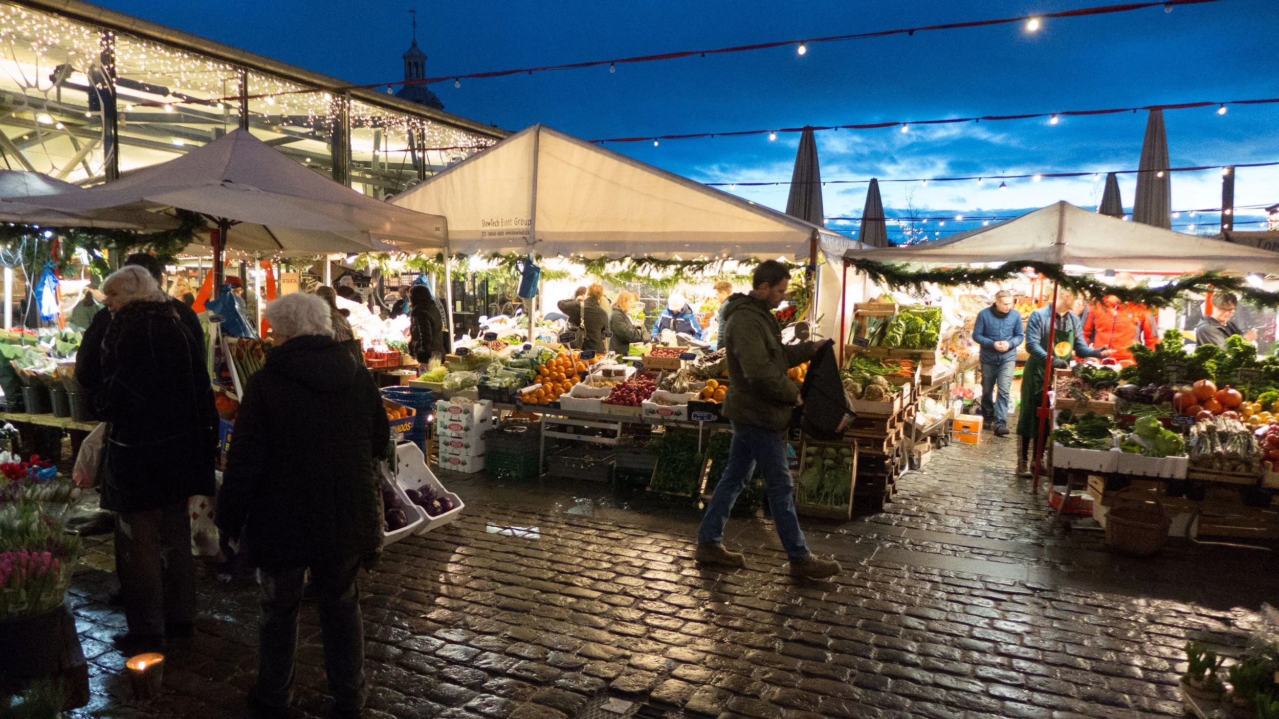
There was a greengrocers’ market on the square from 1889 until 1958 when a large new vegetable market opened at Valby.

As part of a major upgrading of the area, two new food halls designed by Peter Hagens and between an area of outside market opened in September 2011 at the north end of the square. The buildings have simple thin elegant framing supporting shallow pitched roofs and are completely glazed creating good large light spaces that are divided into aisles lined with stalls like many traditional indoor markets.

The food halls are now well established and extremely popular with stalls outside for vegetables and flowers and stalls inside for bread, coffee, wine, fresh meat, cheese and of course fish, along with stalls for cake and drinks. 

Cafes and restaurants in the halls and around the square are particularly busy for lunch and in the evenings when people stop here for a drink on the way home from work and the food halls are now a popular destination for tourists.


sculpture on the bridge


Or strictly the sculptures at each end of Dronning Louises Bro.

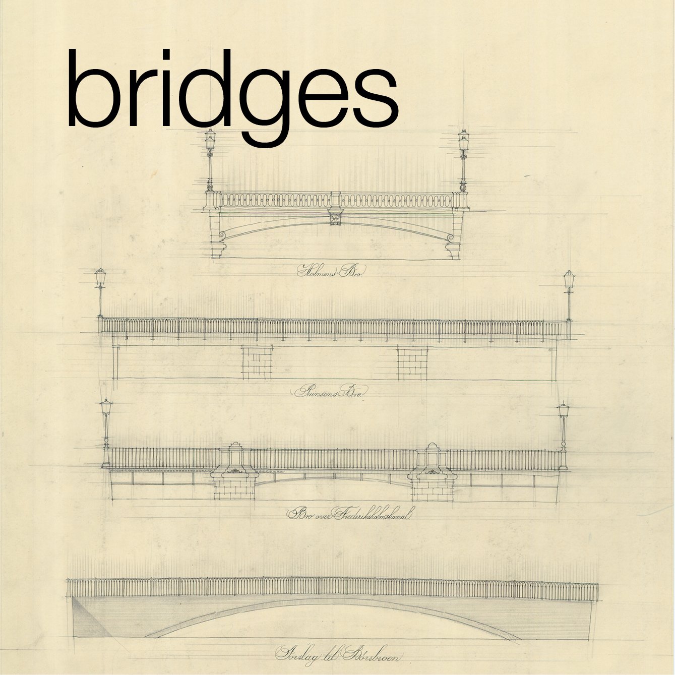
The bridge, with its three central arches and ornate street lamps was completed in 1887 to designs by Vilhelm Dahlerup and replaced an earlier bridge that crossed the lakes between Sortedams Sø and Peblinge Sø.

On either side of the approach from the city side there are bronze sculptures - that on the south side dating from 1897 is the figure of the Nile cast from a marble sculpture from the 1st century that was discovered in 1513 and is now in the Vatican.

On the north side is the figure of Tiber reclining with the figures of Romulus and Remus with the wolf. This is a copy of a group in the Louvre and was set up here in July 1901. Given the style of the apartment buildings that face you as you cross the bridge, heading for the city centre, then a representation of the River Seine might have been more appropriate. 


On the Nørrebrogade side of the bridge are seated figures from 1942 by the sculptor Johannes Hansen (1903-1993).

This really is what is called a conversation piece although the conversation does look rather serious.


the Copenhagen lakes


Looking at maps of the city, or at an aerial view, one of the most striking features is the long line of narrow lakes that run in a gentle arc around the west side of the inner city and form a distinct break between the inner historic centre and the later areas of Østerbro, Nørrebro and Frederiksberg.

There are three lakes - from the north end first Sortedams Sø, the longest lake divided into two parts by a road, then Peblinge Sø, the two lakes separated by the Dronning Louises Bro, and, at the south end, Sankt Jørgens Sø, again divided into two parts by a road. From the top end at Østerbrogade to Gammel Kongevej, below the level of the south lake, is just over three kilometres and the lakes, although they vary in width, are around 200 metres wide, from the inner edge to the outer shore, so this is a very large area of water.

read more


Købmagergade

Købmagergade is a main street that runs down from Nørreport metro and railway station - or strictly it starts at Nørreport as Fredriksborggade and then after a block and beyond the square called Kultorvet it becomes Købmagergade. It then continues south past the Round Tower and on to meet Strøget - the famous walking street - at the east end of Amagertorv ... that's where Strøget widens out into a long triangular space that has been the main market place of the city since the Middle Ages.

The new paving of Købmagergade is in small smooth stone blocks in various shades of grey with some sections of the street almost completely in dark grey. There are LED lights set into the pavement around the Round Tower - an allusion to the early use of the Tower as an observatory for looking at the stars. Drainage is through long iron grills set into the paving.

Pavements, or at least the convention of stepping up onto a higher level along the sides of the street, have been removed completely and at most shops there is either no step up into the interior or at most a shallow threshold. This is clearly good for easy access but my slight criticism of the scheme is that the paving seems almost too high in its relationship to the facades or rather that the buildings appear to be sinking down slightly into the ground. The interesting gain is that here you can see that the line of a kerb - very much a 20th-century feature that came with the arrival of cars - reinforces a linear character for a street but here, where actually the width of the street does vary, it becomes much more sinuous and fluid as a number of spaces open out and then close in.

The architects for the works were POLYFORM and the Dutch landscape architects Sylvia Karres and Bart Brand - the team that have also just completed the design of the new forecourt of Statens Museum for Kunst

Israels Plads

After the demolition of the old city gates and the defences the late 19th century there was rapid development of the area between the old part of the city and the line of lakes to the west. Wide new streets were laid out with large new apartment buildings and with a number of squares including a greengrocer’s market, Grønttorvet, that was established in 1889 just beyond the old north gate. The market on the square survived until 1958.

A design competition to remodel the square was won in 2008 by the architectural practice COBE. Two large market halls, the Torvehallerne designed by Peter Hagens, were opened in September 2011 and are now a very popular food market with cafes.

The south half of the square, linking the space with Ørsted Park, is now almost complete with paving, a low stepped ziggurat over the exit from an underground car park, a shallow canal (still to be filled with water) and a sports area.

The main features and hard landscaping includes an open circular access ramp to the underground car park from the south-east corner of the square, a straight exit ramp below the steps at the south-west corner, a large circular sports court for ball games, with high fencing, rings of seating around trees, fixed play equipment for small children, a drinking fountain and pay kiosks and signs for the car park. Paving is a mixture of cut stone and new and reused cobbles with iron edging, presumably Corten steel to high kerbs to dissuade drivers of vehicles from going onto the square and up the slopes.

There is a similar triangle of steps at the north-east corner of the square that is popular as an area to sit in the sun and presumably both sets of steps can be used as seating for performances in the square.

At the south end the circular areas for planting are larger and form a scalloped edge to make the transition to the grass and open planting of the adjoining park. A shallow canal feature with imaginative bridges and stepping stones, also in iron/steel, flows across the front of the main steps and down the slope towards the lake in the park through a series of oval basins. 

A road still bisects the square between the food halls and the open square but the east and west sides are ostensibly pedestrian but with access for deliveries and servicing but at the south side vehicles enter and leave just at the corners and the whole south side is paved or planted to protect the unbroken link between the square and the park.

 more photographs of the square

COBE


the Vartov square

Paving, or what is sometimes called slightly dismissively hard landscape, is extremely important, particularly in historic towns, but this is an aspect of city planning that can often be overlooked by the public ... inevitably most people are in too much of a rush to think carefully about what they are walking on or where they are walking through to get wherever they want to get. 

Partly, as always, people do not notice good design when it works and does what it is supposed to do but do notice if it is wrong … for instance if the spacing or height of steps is just wrong to fit with the normal length of a stride or a ramp or raised feature blocks the route they want to take. It is partly because, so often, the point of the landscape in a town is to simply be the background for buildings or events and partly the problem is that people quickly forget just how bad an area was, in terms of clutter or bad layout, before changes were made.

A good example of high-quality, and very clear, simple but subtle townscape design is the area across the east side of the city hall in Copenhagen recently remodelled with a scheme from the Belfast architectural practice of Hall McKnight.


The square is in the final 40 projects that have been nominated for the prestigious Mies van der Rohe award for European Architecture.

read more