Fælledparken / Fælled Park

Through the 18th century this was a large area of open land outside the city walls and beyond the lakes but by the late 19th century new buildings had encroached on the open land, particularly along the south and east sides. Mayor Jens Jensen was the prime mover for protecting what remained of the open area for public use by creating a park here. The first trees were planted in 1909 and the park was completed by 1914 with Edvard Glæsel as the landscape architect in charge.

read more

Fælledparken in 1908

open space in Vesterbro

Because Vesterbro is such a densely built up residential area, green open space with grass and trees seems, somehow, much more important but when compared with other districts of Copenhagen, there appear to be few large open areas here.

The most important open space is Skydebanen, a large rectangular park has the backs of apartment buildings on both sides so that in some ways it is more like a large courtyard. Its on the site of a private shooting range so presumably originally it was just grass or perhaps gravel but now has mature trees. At the south end It has been extended and opened out to the west but it still seems like a well-kept local secret, hidden away behind the apartment buildings and from the north entered through a narrow gateway beside a school and from the south, from Istedgade, approached through a doorway in a forbidding high blank brick wall that closes off a short street of apartment buildings. 

read more

Skydebanehaven - The Shooting Gallery Park

There is an impressive 18th century building onto Vesterbrogade, set back beyond a forecourt. Most people walking along the street would be hard pressed to guess what its function might have been although it was actually built in 1787 for the Royal Copenhagen Shooting Society. Until this summer it was the Museum of Copenhagen which has now closed pending a move to a building close to the City Hall.

The shooting range itself was a broad strip of open ground behind the building that ran down to the sea shore and can be seen clearly on 19th century maps. Then, the south approach to the harbour was much wider and the sea shore was on the line of what is now Sønder Boulevard.

First a railway into the city was constructed along the shore and then through the late 19th century more and more land and beyond was claimed from the sea and built over so the shooting gallery became rather cut off and in 1887 a large screen wall in brick was constructed across the south end of the gallery to prevent stray bullets injuring citizens on Istedgade. This is the screen wall that still stands at the end of a short street of houses with a gateway at the centre that now provides a partially-hidden access to the gardens and play area on the site of the shooting gallery. 

After the construction of the screen wall, work began on the Skydebanegade apartments that were built over the south part of the shooting range, on the south side of Istedgade and completed in 1893. 

Skydebanehaven is now an important green space in Vesterbro with a very popular playground for children at the south end. Several blocks of slum houses at the south end on the west side were demolished in the 1950s and 1960s as part of an extensive slum clearance programme and the space was opened up to link through to streets beyond. The space is open but not completely successful … the north part of the shooting gallery feels much more like a large Copenhagen courtyard but, at the south end, the space seem to leach out and break down on the west side creating odd chopped off rows of houses and odd views of the backs of houses that were not designed to be seen.

Even so, this is an amazing, important and much used green space.

The children's play ground at the south end of the shooting gallery with the screen wall beyond that was built in 1887 ... apparently to protect people walking along the street beyond from being hit by stray bullets


Map showing the Kongelige Skydebane - the Royal Shooting Gallery - in 1860

Vesterbro in 1879. Istedgade was still not continuous. The line of the brick screen wall can be seen but it was not constructed until 1887. The railway, marked as ‘Nedlagt Jernbane’ was still then on the line of what is now Sønder Boulevard and the first areas of new land out into the sound had been claimed and a new gasworks and the first buildings of the meat market constructed.


clearing the Skydebanegade courtyards

Demolition of buildings within the courtyards behind the Skydebanegade apartments is interesting because of the size and extent of the buildings removed and the dramatic effect that had but it should not be taken as typical for one rather curious reason: the Skydebanegade apartments benefitted enormously from the work even though the courtyards were not actually on land that they owned originally. The distinctive zig zag plan of the apartment blocks, with alternate open courtyards to the street and between them open courtyards to the back forming an outline that looks almost like a Greek key fret pattern, was built right up to the east and west boundaries of the land acquired from the shooting gallery. The courtyards actually belonged to the properties facing onto Absalonsgade to the east and Dannebrogsgade to the west.

Some of the large buildings in the courtyards may have been workshops and there were certainly stable buildings shown in the east courtyard that was accessed from Absalonsgade - two smaller stables with four stalls in one and 11 stalls in the other but there was also one long range which seems to have had a central passage way with 15 stalls on each side and a large yard to the front so there were, possibly, 45 horses in all kept in the courtyard with all the noise, smell, and manure that would imply. The stable with four stalls appears to have two carriage or cart sheds adjoining so may have been used by a carrier or delivery man. Riding horses and carriage horses might well have been kept in some courtyards. One advantage, though possibly on balance not a great advantage was that there would have just been hay lofts above the stalls so the buildings would not have been that high so would not have cut out much light to the buildings around.

Long thin buildings shown in the narrow courtyards of the Skydebanegade buildings were presumably toilets - the plan here is at first-floor level or above as the archways from the street at ground level are not shown - so the narrow strips of building are drawn as if looking down on the roof. In the apartment buildings themselves, there are small square, until, internal rooms shown close to the secondary or back staircases and these might have been inside toilets and possibly shared between several apartments but given the date of the building which was completed y 1893 inside toilets and toilets flushed by water are not likely to be an original feature if only because the very first flush toilets in the city are said to date from 1893 and were in apartments in the much much grander street of Stockholmsgade in Østerport.

When the buildings in the courtyards to either side of Skydebanegade were demolished, a range of smaller apartment buildings facing along Dannebrogsgade were also taken down and not rebuilt leaving the courtyard on that side open to the west.

It is difficult to calculate from just the plan but counting the staircases in the demolished buildings with apartments on both side of each landing, and assuming that there were almost-certainly five stories to each range, then around 300 apartments were demolished when the courtyards were cleared.

With the new open spaces of the large courtyards many of the apartments overlooking them were given new balconies. The gardens are laid out with different small areas of planting to enclose picnic tables, children’s play equipment and shelters for bikes. Planting, areas of raised ground and carefully planned and well laid paths and paved areas add considerably to the attraction of the space which, as with so many of these courtyards, provides an oasis of calm just off the busy and noisy streets.

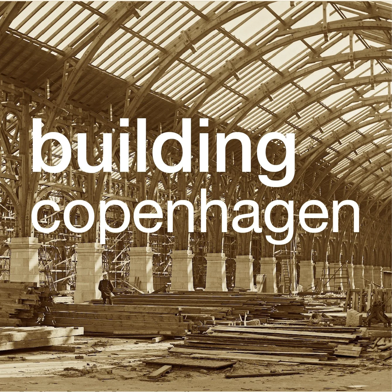
Work on the courtyards and on the restoration and upgrading of the apartments started in 1989 and was completed by 1996.


the Copenhagen lakes


Looking at maps of the city, or at an aerial view, one of the most striking features is the long line of narrow lakes that run in a gentle arc around the west side of the inner city and form a distinct break between the inner historic centre and the later areas of Østerbro, Nørrebro and Frederiksberg.

There are three lakes - from the north end first Sortedams Sø, the longest lake divided into two parts by a road, then Peblinge Sø, the two lakes separated by the Dronning Louises Bro, and, at the south end, Sankt Jørgens Sø, again divided into two parts by a road. From the top end at Østerbrogade to Gammel Kongevej, below the level of the south lake, is just over three kilometres and the lakes, although they vary in width, are around 200 metres wide, from the inner edge to the outer shore, so this is a very large area of water.

read more