
Fælledparken / Fælled Park
/


Until the late 19th century this was a large area of open land on the north side of the city that was outside the defences and beyond the lakes.
A well-established highway - the road from Copenhagen to Hellerup - running out from the east gate of the city at Østerport - defined or marked the east boundary. There were a number of houses and villas on both sides of the road from the 18th century but, through the 19th century, more and more plots along the road were developed and built on and, with the completion and opening of the Freeport in 1904, the area east of the open ground became a densely-built area of housing - the suburb of Østerbro.
On the west side of the open ground was Nørre Allé that continued on to the important royal highway that was the road to Lyngby and from there to the royal castle at Frederiksborg. Across the south or city side of the open area, is Blegdamsvej that is parallel to the lakes but two blocks or about 160 metres back from Sortedams Sø and linked Østerbrogade - the road to Hellerup - and the square at Sankt Hans Torv and beyond the square to the main road north from the north gate of the city.
In the 18th century the central area of the open land was a large bleaching ground - marked Beege Dams Köppel on a mapp of 1770 and shown with posts around the edge that were presumably strung with lines for the drying linen. Bleg, as in the street name Blegdamsvej, means pale. By the 19th century, the open ground to the east was a military area called Østerfælled or East Field with barracks at Østerfælled Torv built in the 1880s and those buildings survive but have been remodelled as apartments and shops.
By the late 19th century more buildings had encroached on the open land. The most famous, in terms of architecture and the history of housing in Copenhagen, are the rows or terraces of Brumleby that were completed in 1872 for the The Medical Association … new housing built as overcrowded courtyards and small dank apartments in the city were cleared following the major outbreak of cholera in 1853.
South of the houses is a power station designed by the municipal architect Ludvig Fenger and Ludvig Clausen that was completed in 1902 and an impressive Post Office building designed by Thorvald Jørgensen that was completed in 1922.
The south-west part of the open space was used for a new hospital - Rigshospitalet designed by Martin Borch that was completed in 1910 to replace the Royal Frederiks Hospital in 18th-century buildings now occupied by Designmuseum Danmark. Further land along the south edge - along Blegdamsvej - had been parcelled up for building so the area was certainly threatened with further development.
Mayor Jens Jensen was the prime mover for protecting what remained of the open area for public use by creating a park here. The first trees were planted in 1909 and the park was completed by 1914 with Edvard Glæsel as the landscape architect in charge.
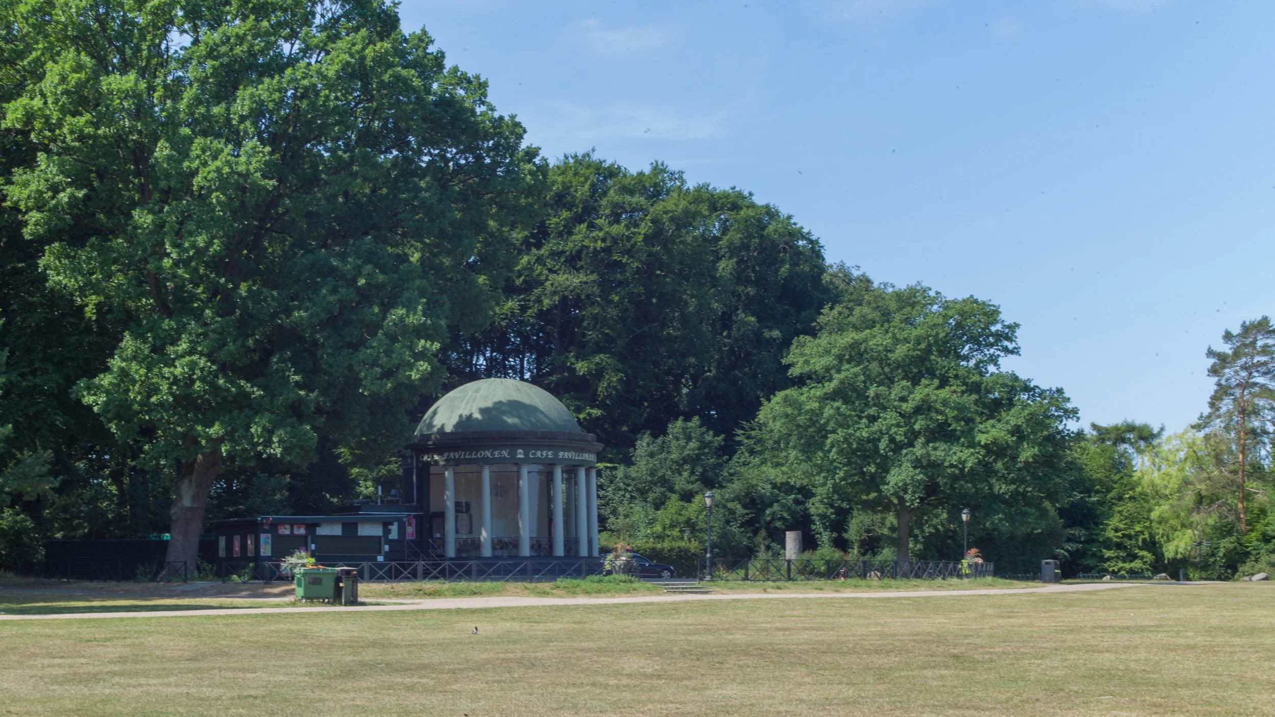
The park is used now for major outdoor events including political rallies and for sports - particularly football as the national football stadium is on the east side of the park - and there are a large numbers of pitches marked out for public use.
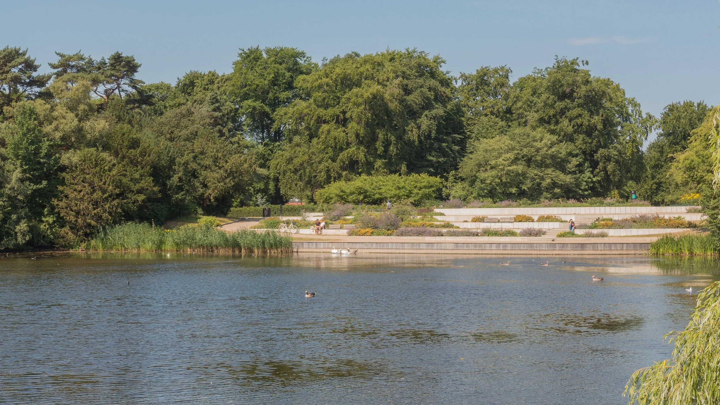
Towards the north end of the park is a large lake and around it denser planting of established trees that forms an area of pleasant walks and glades with picnic areas.
A substantial amount of money was invested in remodelling and improving the park in 2011/2012 and now, around the park, are a number of well-designed play areas, including a large skate park and an enclosed and safe area - Trafiklegepladsen / Traffic House - that is laid out as roads and junctions where children learn to ride bikes.
Fælledparken is popular and very well used.


