City Park in Ørestad

In September 2019, work started on a new and important phase of landscaping, with new planting, at Ørestad Byparken - the City Park in Ørestad. Ørestad is the large area of housing and offices on Amager, that issouth of the city centre and to the west of the airport.

Opened in June 2008, from the start, city park was planned as the major open space for this new area of Copenhagen. It occupies a large city block that is over 460 metres wide between Center Boulevard to the west and Ørestads Boulevard and the elevated line of the metro to the east. From north to south, the park is 170 metres across with four large blocks of apartment buildings across the north side and four large blocks of apartments across the south side. When the first of these blocks were constructed, these were then some of the largest and tallest apartment buildings in the city - other than tower blocks - so the park is, without doubt, urban in character.

Initially, there was just a single wide path running at an angle across the space between the two boulevards but, over the last decade, areas for sports have been laid out and play equipment and sculptures have been added along with large, semi-mature trees with some moved here from Kongens Nytorv - the large public space in the centre of the city - where the trees there had to be cleared for construction work to start on a new metro station that opened in 2019.

The regular plan of Ørestad City Park and the high buildings on three sides make this the modern equivalent of the park at Enghave in the south-west part of the city that was laid out in the 1930s.

Early photographs of the park at Ørestad show that at first it was not just stark but was bleak but the work of the Ørestad Landowners' Association, now responsible for the park, have transformed the area into a major asset for the community.

This, the most recent phase of improvements, was designed by the Copenhagen landscape architecture practice SLA Arkitekter. It covers a relatively small area at the north-east corner of the park but has created what is already a densely-planted buffer zone between the park and the main road and metro line that form the east boundary. There are mounds and features like a new area for playing petanque that was not in the original plan but was requested by local residents and this work creates a number of more enclosed spaces or outdoor rooms around the east and south sides of an existing football pitch.

Planting has been kept as natural as possible, for biodiversity, and has wild meadow flowers as ground cover. The hard landscaping, with bold rounded grass-covered mounds, has curved and twisted pathways for interest and this softens the hard and angular forms of the large buildings around the park.

SLA Arkitekter


Urban Nature in Copenhagen - Strategy 2015-2025

Kongens Have / The King’s Garden in the centre of Copenhagen

Copenhagen is proud of it’s parks and gardens - important areas of green in what is a densely built but compact city. There are some fine avenues of trees and some areas close the city centre, like Holmen, have been developed with space and good planting of trees and gardens and with access to the water of the harbour but there is more an more pressure for more densely built developments and for more high-rise apartments which means more people wanting and needing access to space and green areas.

Some urban streets have new schemes to cope with storm water from cloud bursts and these usually include new planting and older courtyards in the city are being reorganised and replanted but is this enough for a rapidly-growing population?

The city published a report that set out a number of goals for Urban Nature in Copenhagen for the period from 2015 to 2025. As we are now at the halfway point it might be a good time to revisit that report and assess what has been achieved and to set further goals.

The report on a strategy for nature in Copenhagen was published in English in May 2015 by the City of Copenhagen Technical and Environment Administration and can be downloaded from the site of Københavns Kommune:

Urban Nature in Copenhagen - Strategy 2015-2025


if you take Rundetårn - the Round Tower - as being at the heart of the old city - then the man fishing is just a kilometre from the tower and the amazing trees of the Botanical Gardens are just 500 metres from the tower …. this view from the terrace of the great green house is looking east so towards and across the centre of the city just beyond the trees

Goals for the city of Copenhagen:

the goals are taken from the report on Urban Nature in Copenhagen

Biodiversity:
To increase the number of initiatives that enhance biodiversity and ensuring that the promotion of biodiversity is always included in the considerations when Copenhagen is developed and transformed, so that we can help expand, enhance and protect urban nature as a whole.

Climate Adaptation:
To ensure that the climate adaptation of Copenhagen contributes to creating more urban nature, enhancing biodiversity and creating more recreational experiences.

Nature Areas:
To ensure that Copenhagen's nature areas are developed and maintained with particular emphasis on enhancing biodiversity and nature experiences.

Parks:
To ensure that the city's parks are developed and maintained with concern for cultural history, recreational needs and biological considerations.

Cemeteries:
To ensure that the city's cemeteries are developed and maintained with particular emphasis on making them an active part of recreational life in Copenhagen - with respect for peace, quiet and funerals.

Urban Development:
To ensure that local planning processes include demands for the quality and quantity of urban nature and enabling the creation of green municipal areas in urban development areas.

Municipal Land:
To ensure that demands are made to the quality and quantity of urban nature when municipal areas, streets and buildings are renovated or transformed.

Non-municipal Land:
To ensure that the City of Copenhagen actively supports green initiatives on non-municipal land by inspiring, motivating and engaging in partnerships with private actors and landowners.

Trees:
To increase the total number of trees in Copenhagen, securing good growing conditions for new and existing trees in the city and securing variation in the selection of species of trees.

Spatial Quality:
To ensure that urban nature is created, developed and tended with particular emphasis on maintaining a human scale and urban expression in the city.

Water:
To secure access to water and water experiences and securing clean water in lakes, streams and the sea with a varied wildlife and vegetation.

use left and right arrows or click on the image to scroll through the photographs

the area shown here is 4.5 kilometres by 4.5 kilometres (3 miles by 3 miles) so about 20 square kilometres that includes the whole of the historic centre - what is called the Medieval City. The area of Vesterbro, at the bottom left corner, is one of the most densely occupied square kilometres in Europe

① Botanisk Have / Botanic Gardens.
A beautiful and peaceful park in the centre of the city.
it is not natural because this area, including the lake, was man-made as part of the defences of the city but it is a place to see amazing specimen trees.
② Kongens Have / The King’s Garden - planted borders with a stunning display of plants - again not raw nature but horticulture at its best
③ Raised vegetable plots in the King’s Garden
planted to help children learn about the cultivation of plants
④ Garden plots on Guldbergsgade -
planted and maintained by local people from nearby apartment buildings
⑤ Planting at the start of Prags Boulevard … planting that softens the streetscape and establishes a more domestic scale
avenue through Holmens Kirkegård / The Cemetery of Holmen’s Church
more natural growth of trees and planting in Den Jødiske Kirkegård / The Jewish Cemetery
trees on the man-made slope of an office development on Bernstorffsgade
Skydebanehaven - the gardens of the former Shooting Gallery
railway cutting near Østerport railway station where nature is allowed to take over the embankments
another part of the defences - here the lake just to the east of Statens Museum for Kunst / The National Gallery
Kastellet -the Citadel - with a view to the sound and the coast of Sweden
the west arm of the defensive ditch of Kastellet
the outer defences of Christianshavn
inside the defences of Christianshavn - it is difficult to believe this is just a
kilometre from the parliament buildings at Christiansborg
Kløvermarken - the open space immediately beyond Christianshavn - not nature but grass and open space that people need
Fælledparken - the largest park in the city with space for sport pitches and playgrounds but also a large lake and mature trees


Kløvermarken ⑯ is an area of land at the north end of the island of Amager that is used for sport. It has never been built on and this view - looking towards the city - and that skyline has barely changed since the time of Christian IV.

Over the last 400 years, perhaps the most significant change is that much of this area would have been marsh or wetland and the king would not have tolerated so many trees on the banks and bastions of the defences because the army of an enemy, attacking the city from the Amager side, could not only be seen but would be more vulnerable because they were out in the open.

Nature is not just about grass and trees but also about space and open sky.

This woodland is immediately north of Klampenborg - so 10 kilometres north of the centre of the city - and can be reached easily by train.

Again, it is not ‘natural’ landscape or rather it is not nature of the raw and wild sort because it has been carefully managed for centuries as royal forest for hunting but, for people from the city, this now provides a place to experience nature with the peace and the space to be quiet and alone in a natural environment.


update .... the opera house gardens

Recently there have been articles in the press about the plans for a new underground car park on the island immediately to the south of the opera house.

The main concern now seems to be about the disruption from heavy lorries removing soil from the site and then traffic for the construction work and this would be at the same time as the work that has barely started on a major redevelopment of the nearby Papiroen/Paper Island site.

One suggestion has been that material from the excavation could be removed by barge but there is no obvious place to take this waste at this time.

The problem that is perhaps as much of a concern that should, perhaps, be more widely discussed is the form of the new planting for the new park once the underground car park has been constructed.

Natural, woodland-type planting, with informal groupings of trees is suggested in the drawings and the photograph taken in the botanic gardens in Copenhagen shows just how attractive the careful arrangement of specimen tress can be but this is a difficult site in that it is primarily urban and maritime. Would a ‘natural’ arrangement of large trees undermine the character of a site that is at the centre of the city and still very much at the heart of the harbour or does that not matter?

post on the Opera House park on 6 September

a new park by the opera house

The Opera House designed by Henning Larsen was completed in 2005 and is the most prominent modern building along the harbour in Copenhagen. It’s at the centre of a wide rectangular island or, rather, on the central island of three islands side by side with narrow canals hard against either side of the opera building and crossed by narrow bridges out to the flanking islands.

In the original scheme, these flanking islands were destined to be developed with expensive apartment buildings but then along came the global recession and since then everything has been on hold. 

The island to the north, about 160 metres wide and 160 metres deep but cut into by a dock from the harbour frontage, has been covered with tarmac and is used for car parking although there is a fine harbour or gantry crane across the north side and a 19th-century brick pumping house.

The island to the south, tapering slightly from the width of the opera house site at its north end down to 122 metres deep at the south end, has been left as a wide area of grass with relatively small trees planted as formal avenues but small enough to not compete with the scale of the opera house and barely masks its south or side frontage.

Krøyers Plads - a development of large and expensive apartments some 500 metres south of the opera house - also faces onto the harbour and was also built around an existing dock but the that scheme was mired in planning controversies and the original plan for tall tower blocks was modified and modified and modified until it is now a relatively acceptable pastiche of historic warehousing or at least reminiscent of historic warehouses in scale and silhouette. 

Papirøen or Paper Island - between Krøyers Plads and the opera - had low concrete warehouses that were built in the late 20th century and was where paper for the city newspapers was stored so hence the name. These buildings, used a short time for a food hall and as a venue for Copenhagen Contemporary and for car parking, have been cleared and work started recently on rebuilding the quay side with major excavations for new buildings but apparently funding for the apartment blocks and a new harbour swimming pool here has slowed so completion dates have moved further away.

Clearly, now is not the right time to build expensive apartments on either side of the opera house so proposals for the area immediately south of the opera have changed. A large underground car park is to be constructed here and a park above it will be planted with trees. This scheme has been drawn up by the architecture and planning team of COBE who finally saw the Krøyers Plads buildings realised - although they were not involved in the original proposal - and they produced the initial planning proposals for Paper Island where, until the buildings were demolished, they had their office.

However, there seem still to be two problems.

Since it opened, the opera house has been relatively difficult to reach. Until two years ago, and, first, the completion of new foot bridges over the Christianshavn canals and then the opening of a new bike and foot bridge between Nyhavn and Christiansholm, it was a long walk up from Knipplesbro or an odd route by bus. And it was a longer drive by car around the outside of Christianshavn to come at the opera from the north through the buildings of Holmen - now part of the Royal Academy.

To be able to walk under cover from an underground car park against the side of the opera house, through a tunnel under the canal, and into the opera house at a lower level sounds convenient but I’m still not clear how you will drive there and unclear how it can be justified on ecological grounds where the trend in the city is to remove cars from the centre.

More important, in terms of architecture and planning, is that the opera house and anything on either side hides the four great naval warehouses built in line in the middle of the 18th century, and, with masting sheds and the great crane, these are one of the great and singular features of historic Copenhagen. When first constructed, the warehouses and mast sheds faced across an expanse of open water where the fleet anchored, and looked across to the royal palace on the west side of the harbour …….. until the islands were built in front of them and the opera house muscled in.

COBE - The Opera Park

Opera House.jpeg

Fælledparken / Fælled Park


Until the late 19th century this was a large area of open land on the north side of the city that was outside the defences and beyond the lakes. 

A well-established highway - the road from Copenhagen to Hellerup - running out from the east gate of the city at Østerport - defined or marked the east boundary. There were a number of houses and villas on both sides of the road from the 18th century but, through the 19th century, more and more plots along the road were developed and built on and, with the completion and opening of the Freeport in 1904, the area east of the open ground became a densely-built area of housing - the suburb of Østerbro. 

On the west side of the open ground was Nørre Allé that continued on to the important royal highway that was the road to Lyngby and from there to the royal castle at Frederiksborg. Across the south or city side of the open area, is Blegdamsvej that is parallel to the lakes but two blocks or about 160 metres back from Sortedams Sø and linked Østerbrogade - the road to Hellerup - and the square at Sankt Hans Torv and beyond the square to the main road north from the north gate of the city.

In the 18th century the central area of the open land was a large bleaching ground - marked Beege Dams Köppel on a mapp of 1770 and shown with posts around the edge that were presumably strung with lines for the drying linen. Bleg, as in the street name Blegdamsvej, means pale. By the 19th century, the open ground to the east was a military area called Østerfælled or East Field with barracks at Østerfælled Torv built in the 1880s and those buildings survive but have been remodelled as apartments and shops.

By the late 19th century more buildings had encroached on the open land. The most famous, in terms of architecture and the history of housing in Copenhagen, are the rows or terraces of Brumleby that were completed in 1872 for the The Medical Association … new housing built as overcrowded courtyards and small dank apartments in the city were cleared following the major outbreak of cholera in 1853. 

South of the houses is a power station designed by the municipal architect Ludvig Fenger and Ludvig Clausen that was completed in 1902 and an impressive Post Office building designed by Thorvald Jørgensen that was completed in 1922.

The south-west part of the open space was used for a new hospital - Rigshospitalet designed by Martin Borch that was completed in 1910 to replace the Royal Frederiks Hospital in 18th-century buildings now occupied by Designmuseum Danmark. Further land along the south edge - along Blegdamsvej - had been parcelled up for building so the area was certainly threatened with further development.

Mayor Jens Jensen was the prime mover for protecting what remained of the open area for public use by creating a park here. The first trees were planted in 1909 and the park was completed by 1914 with Edvard Glæsel as the landscape architect in charge.

The park is used now for major outdoor events including political rallies and for sports - particularly football as the national football stadium is on the east side of the park - and there are a large numbers of pitches marked out for public use.

Towards the north end of the park is a large lake and around it denser planting of established trees that forms an area of pleasant walks and glades with picnic areas. 

A substantial amount of money was invested in remodelling and improving the park in 2011/2012 and now, around the park, are a number of well-designed play areas, including a large skate park and an enclosed and safe area - Trafiklegepladsen / Traffic House - that is laid out as roads and junctions where children learn to ride bikes.

Fælledparken is popular and very well used.

Fælledparken - the entrance from Trianglen

Fælledparken in 1908


the national football stadium from the park


Fælledparken - the entrance from Trianglen

Entrance Faelled Park.jpeg
 

At the corner of Blegdamsvej and Øster Allé is a large area of gravel that is triangular in shape — the site of a major new metro station - and set back, beyond the triangle, is the entrance to Fælledparken.

Established in 1908, the main feature here, on the central axis of the entrance, is a memorial … a large figure group in bronze raised on a high stone base that was installed in 1930 to commemorate the return to Denmark, in an international settlements following the First World War, of land in South Jutland that had been lost to Germany in a war of 1864.

Lettering on the stone base reads:

TIL MINDE OM SONDERJYLLANDS GENFORENING MED MODERLANDET 1920

In memory of South Jutand's reunification with mother country 1920

The main figure is a woman who is looking down at an adolescent girl who holds or, rather, she clings to her side, looking up but not at the woman so up and away into the distance at the sky or to the heavens. It is a powerful depiction of a mother embracing or drawing in a child for their protection.

The woman is wearing a loose, finely- pleated costume, that is clearly classical in style, with an outer garment or stola that she is lifting to cover the girl who is naked … nakedness, at least here, implying both innocence and vulnerability.

The sculptor was Axel Poulsen who nearly twenty years later repeated the image of mother and child - a woman holding a dead youth slumped across her lap - for the incredibly powerful stone sculpture for the Mindelund Park in Copenhagen that is a memorial garden for the dead of the Second World War.

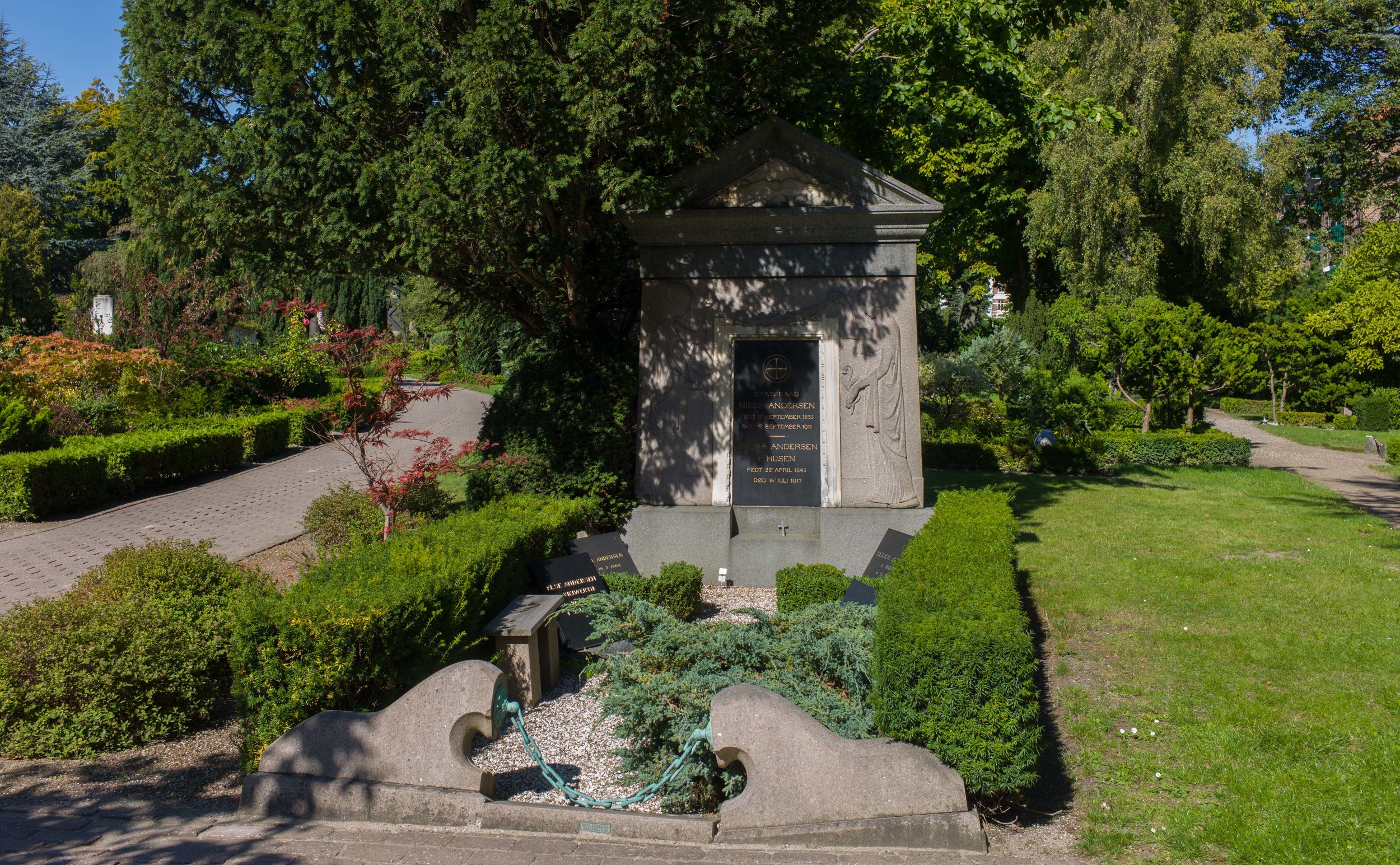
On either side of the reunification monument, there are elaborate stone drinking-water fountains.

Again the style is taken from classical architecture. For each there is a tall stone podium that is square in plan with a moulded base and cap and on the top are giant open bronze shells that are, presumably, a symbol of wisdom.

The front of these drinking fountains have very bold architectural treatment with squat but finely-fluted applied half column broken by a bold square block across the lower part in a form usually called rustication but here on a giant scale, and those blocks hold a fine bronze shell that drops water down into a round stone basin at the base.

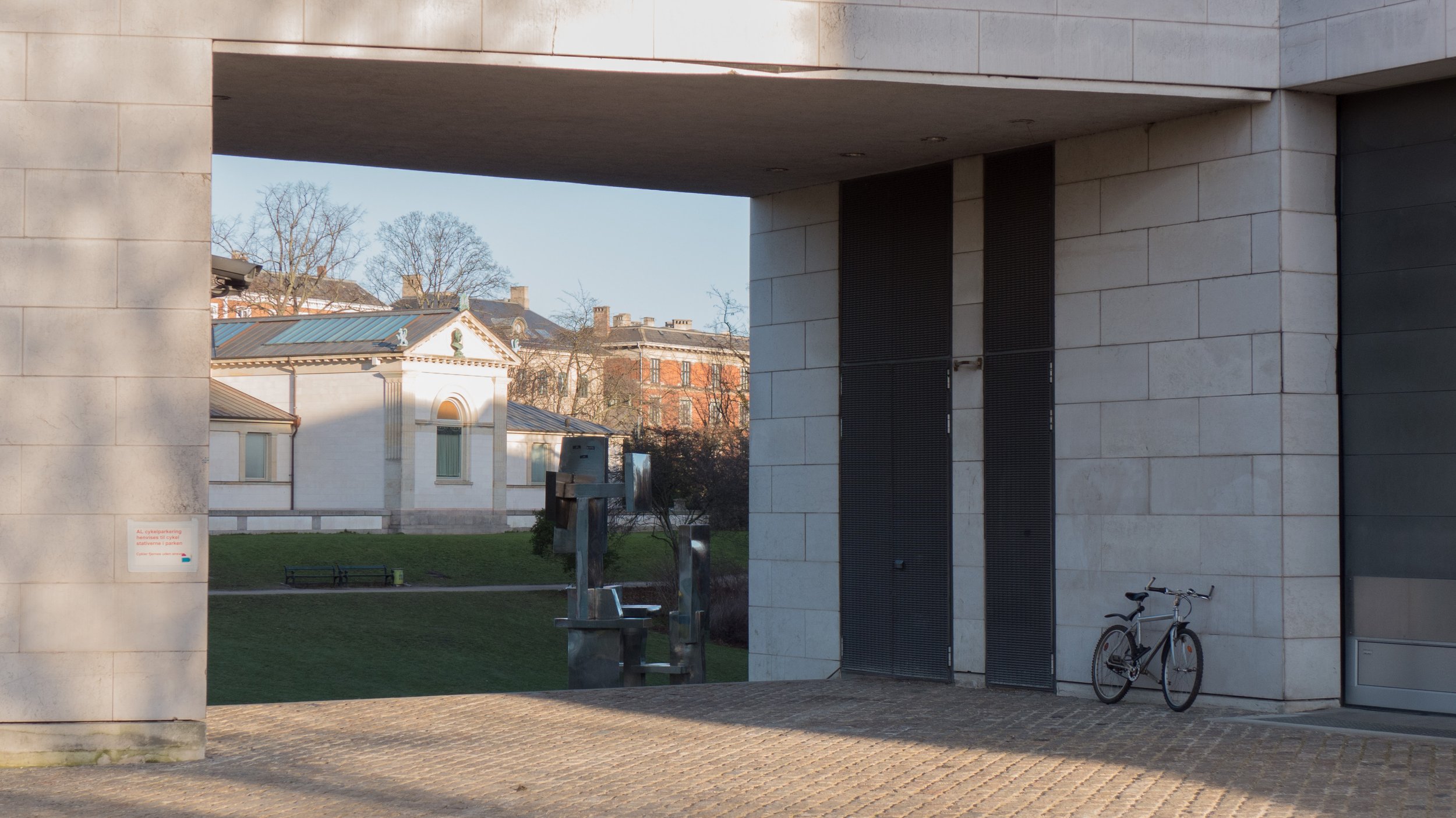
Both drinking fountains are set at an angle, facing inwards towards the apex of the triangle and they frame the two paths on either side of the memorial that lead into the park, There are low retaining walls curving out to the buildings on either side to create a symmetrical arrangement that closes the open public space of the triangle and marks the transition to the open space and trees of the park beyond.

Around the curve behind the monument are nine lights  - low or rather not tall and each with a bronze stanchion and a simple pearl-like globe light.

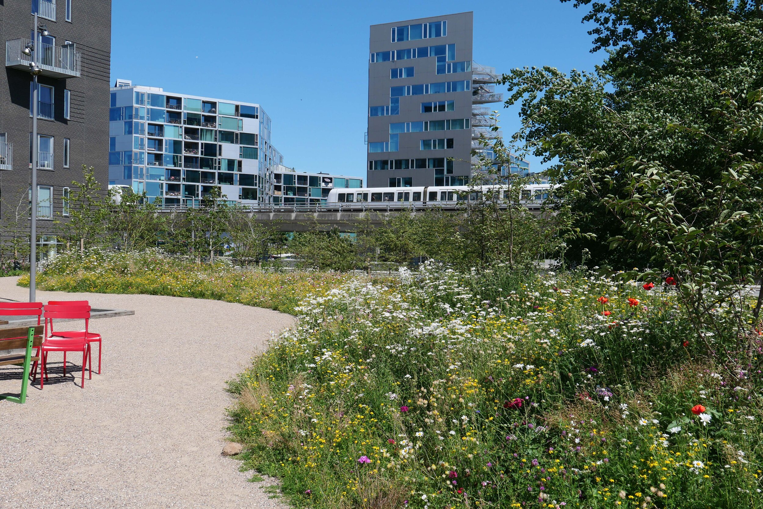
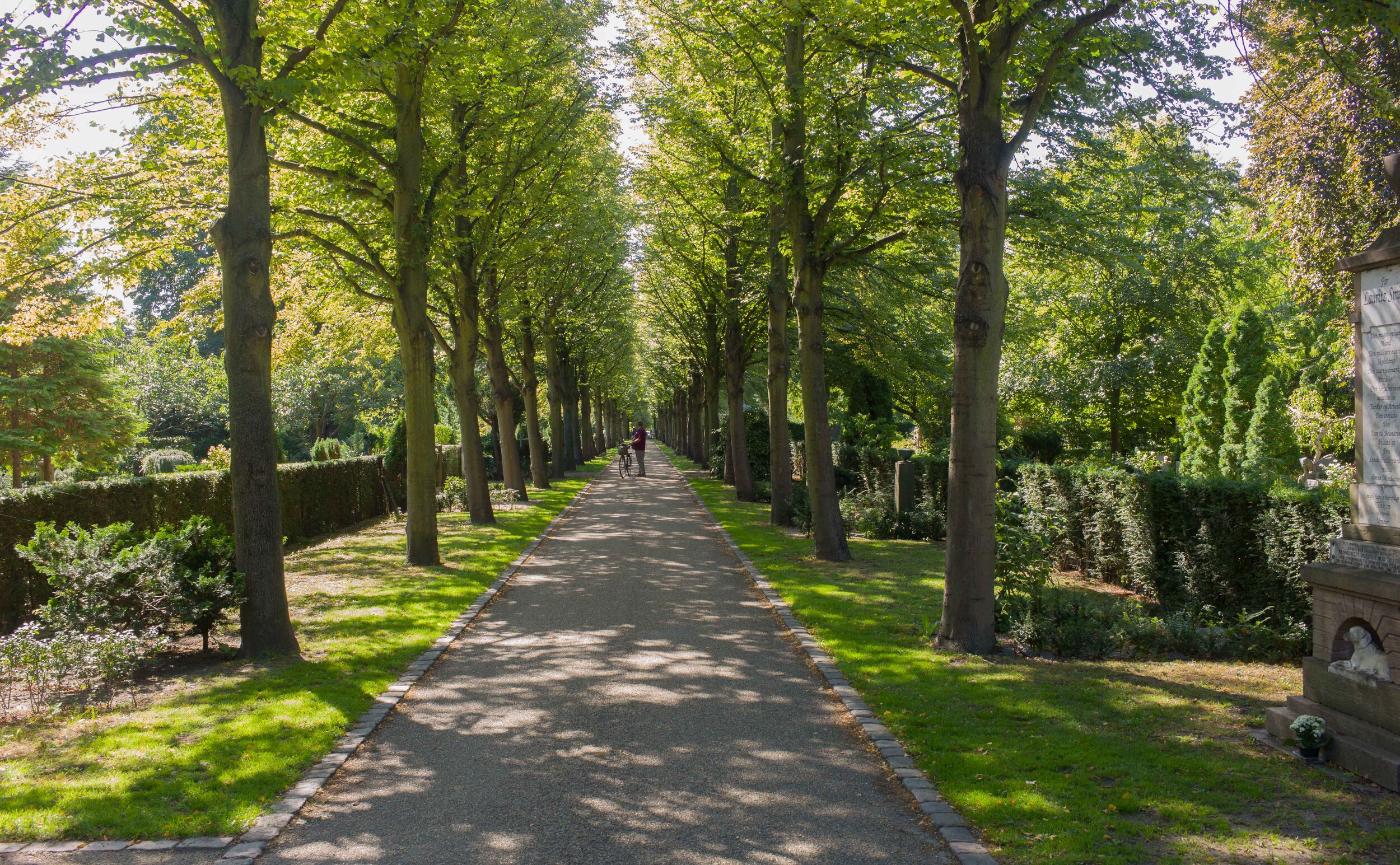
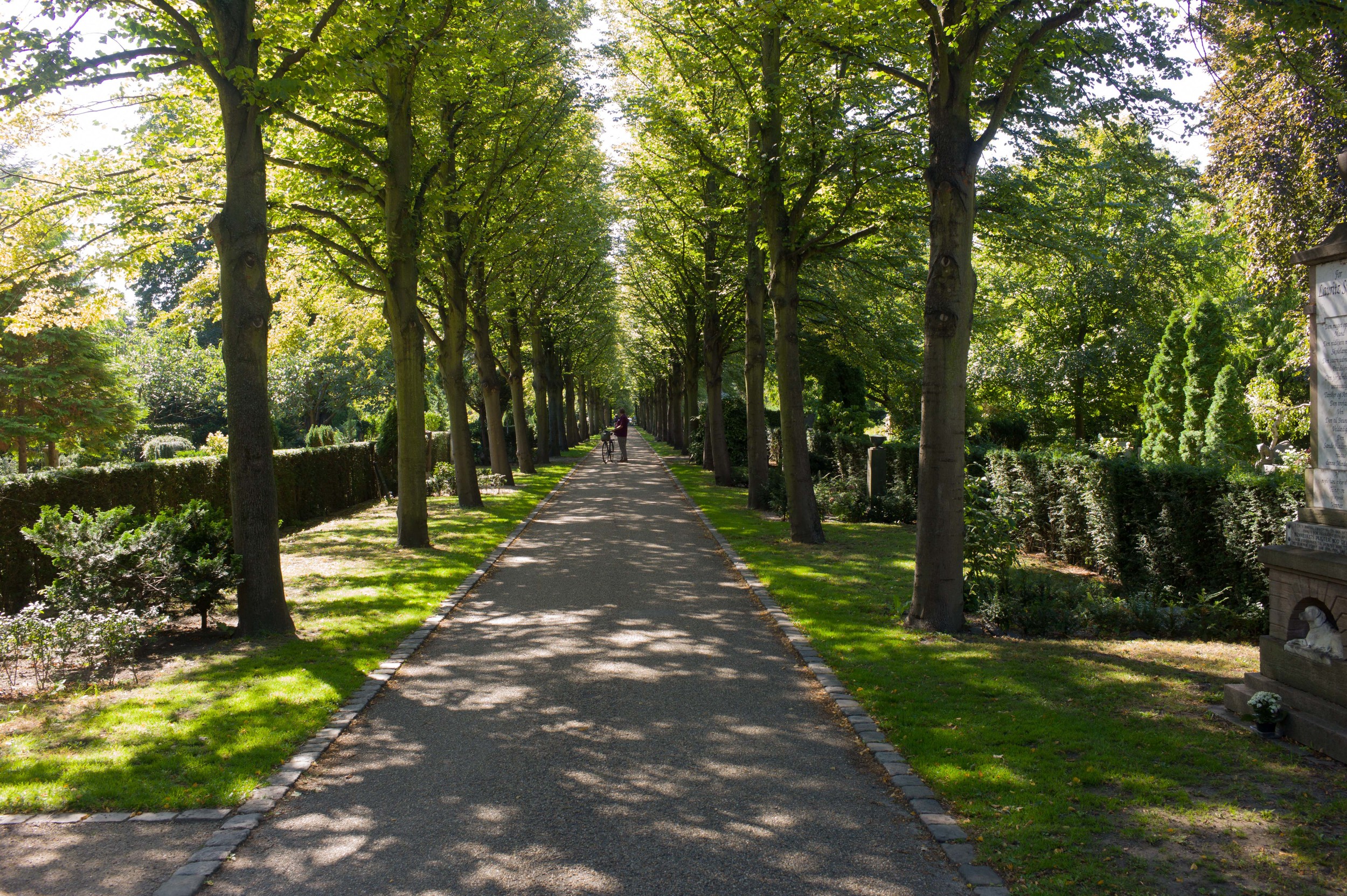
There is a strong underlying geometry to the design that is not immediately obvious when you are walking through the space, in part because it is on such a large scale, but it gives the entrancea rational and clever underlying structure that creates a clear order to the space and to the procession from the urban space of Trianglen through to the open space of the grass area of the park. This should be read as if it is movement through a series of spaces, comparable to moving through a series of rooms and certainly not like moving through a natural landscape.

Also, the design shows how an architect or designer can pull together existing angles of roads and buildings - determined by topography or street alignments - and can direct the way in which people will move through the spaces but the plan also creates interesting and dynamic diagonal views that you would not get with a simple progress along a straight axis.

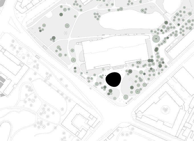
The statue and its plinth are set in a circle of cobbles but that is set within a larger but less obvious circle of gravel that is itself framed by a border of cobbles. That larger circles overlaps a large stadion on the axis that is set out with a gravel path beyond but the overlap is masked by a low hedge following the back curve of the circle of the statue.

A stadion is simply a long rectangle with semi circles across each end so there are long straight sides and curved ends so not an oval. The form is found most obviously as the shape of a running track so here it is a reference to the use of the public space of the park for sport. Seen from above, the statue is at the centre of its circle but also on the long axis of the stadion and actually sits across the path - so if you run around the stadion, as if it was a running track, then you have to divert around the statue.

At the far end of the stadion, towards the open park, the gravel path expands out into a curve that cuts into the main shape of the stadion. It mirrors the entrance end, but without the full circle of the setting of the statue, and has a set of curved stone benches where you can sit and look out across the park.


It is fascinating to see how a city or a country has seen itself at various points in history by looking at how a style of architecture is used to establish or reflect or reinforce a common sense of self identity.

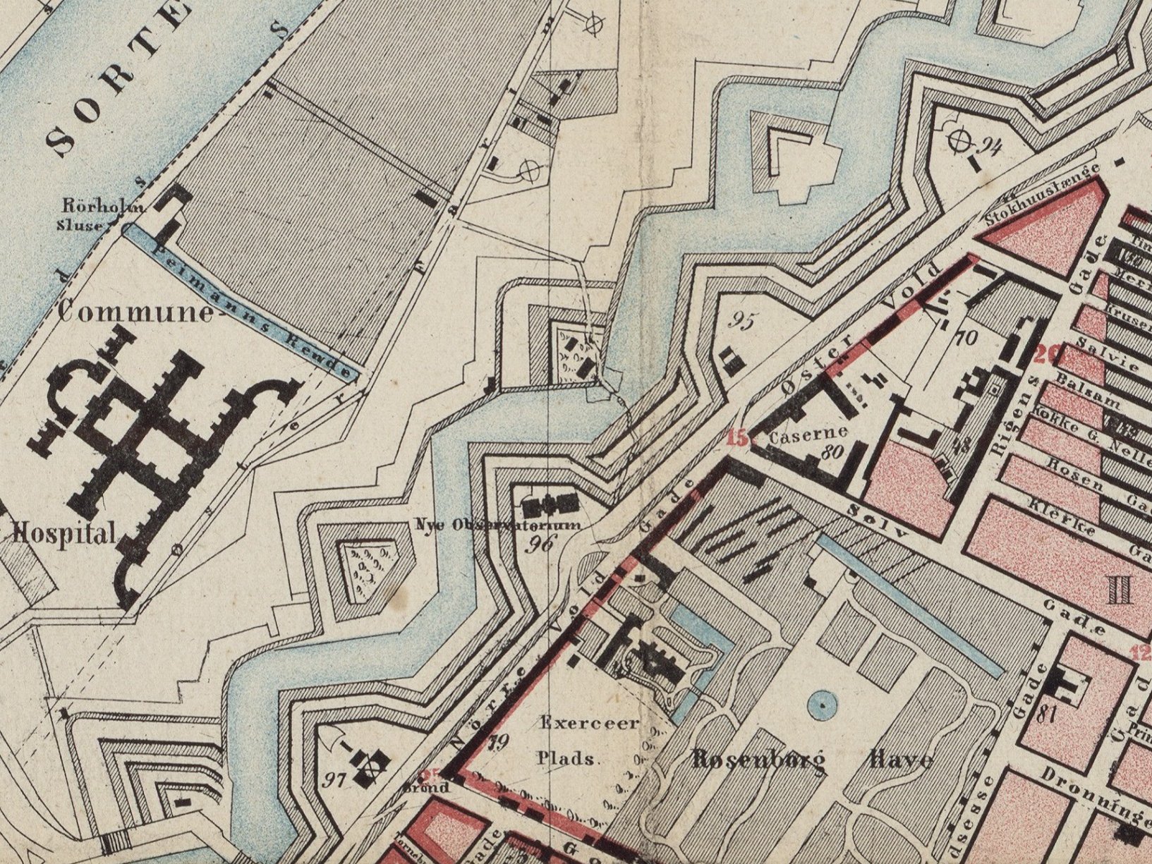
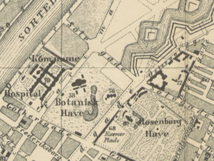
Following the war of 1864, and the loss of much of Jylland - the south part of Jutland that was annexed by Germany - Denmark spent the last decades of the 19th century reassessing and then rebuilding and then moving forward.

Initially the style adopted for much of the new architecture at the end of the 19th century was inspired by the rebuilding of Paris in the period of Hausmann after the revolution of 1848 - so many of the new apartment buildings from that period in Copenhagen imitate pale stone ashlar, have large sash windows, mansard roofs and ornate wrought-iron balconies.

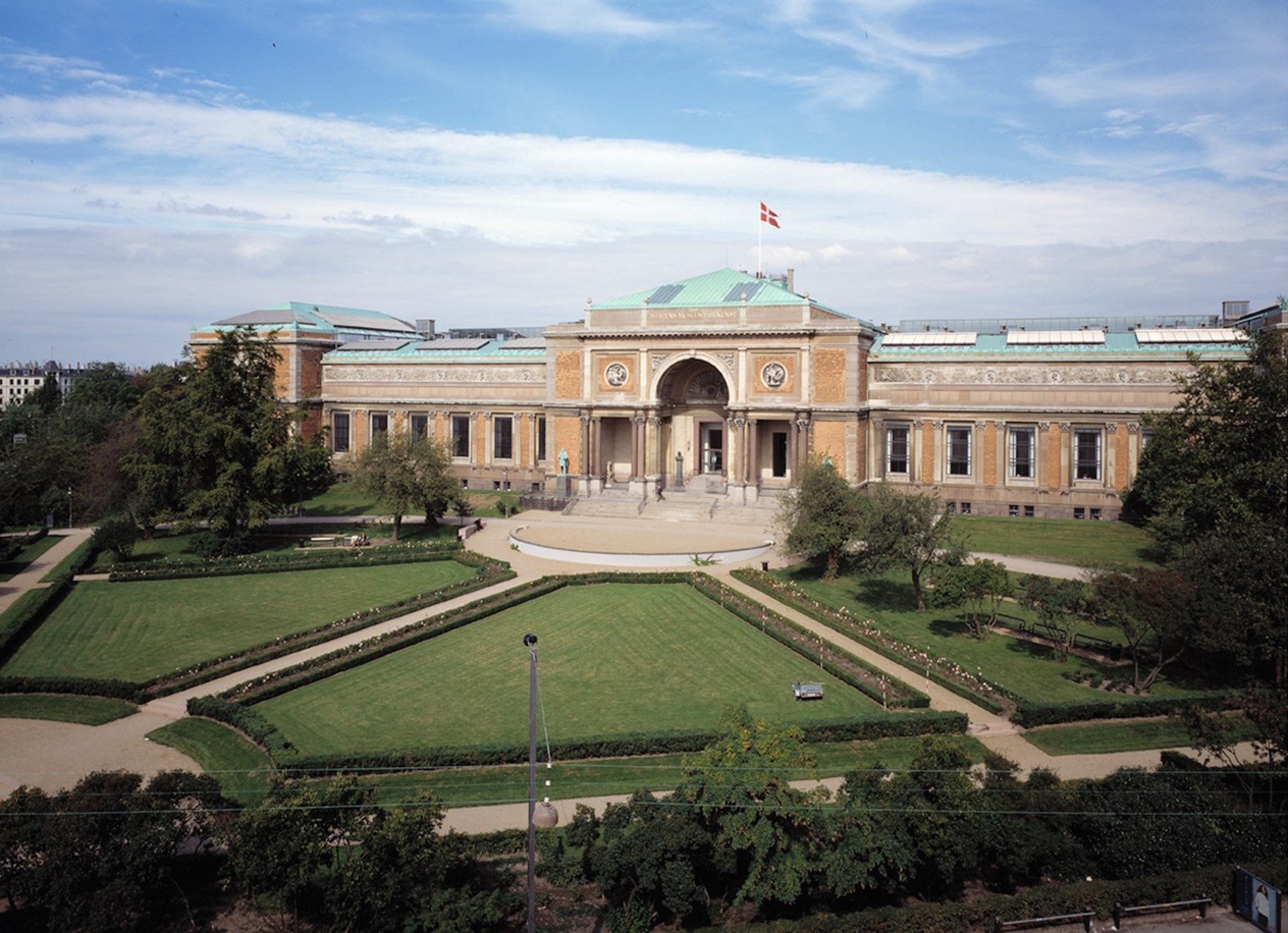
By 1900, and with the growing prosperity of the city based on trade, many of the new office building along Hans Christian Boulevard and even the new city hall itself looked to that other great trading nation of city states for inspiration so to Italy and to Florence and Sienna and to banks and civic buildings in those cities as a source of architectural forms and decorative motifs.

As the prosperity and success of the Copenhagen renaissance became more tangible, there was a growing sense of pride in architecture and achievements that were more specifically Danish or Scandinavian so architects and sculptors looked for inspiration to the buildings of Christian IV in the first half of the 17th century so towers and turrets and gables in the style of Frederiksborg or Kronborg, but dating from around 1900, can be seen all over the city.

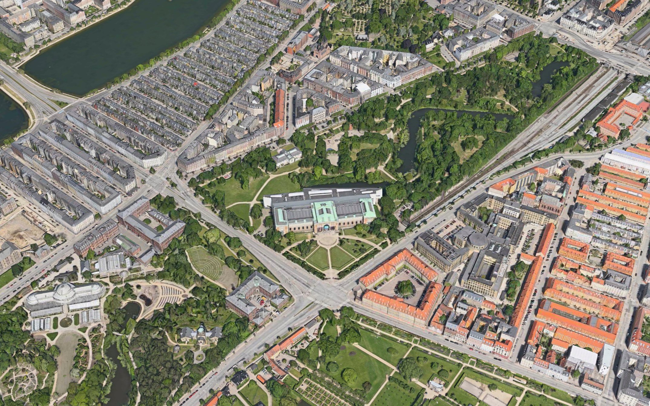
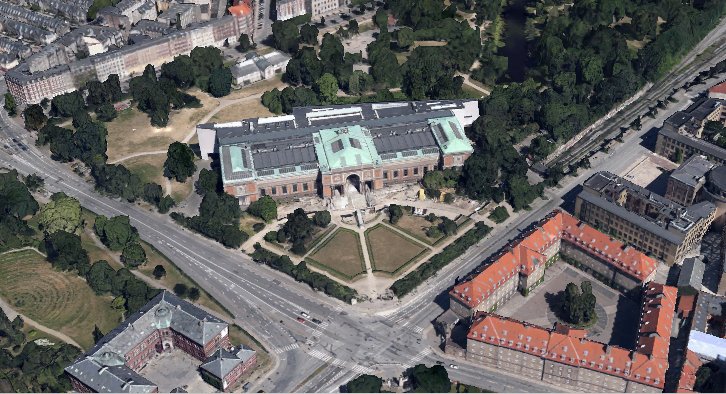
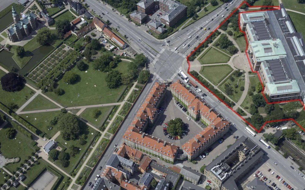
But the entrance to the park and many of the new public buildings around the park are different in style again. Here, through the 1920s and 1930s, the inspiration is classical architecture - not Renaissance Italy but ancient Greece and Rome - and of course that seems appropriate for buildings like a swimming pool and the stadium so it appears that there was a new worship of fitness and the male body - or at least a sanitised view of what Hellenic sport was all about - and with it came a need to express or imply heroism and nationalism … and, in terms of style, a different form of nationalism to the power and wealth shown by the buildings of Børsen - the Royal Exchange - or Rosenborg or Kronborg.

This gets perilously close to the architecture of nationalism of the right in Italy or Germany in the 1920s and 1930s but maybe that slight uneasiness we can feel, when we see architecture like this, comes because we are looking back but of course, these architects could only look for styles of architecture that they felt were appropriate without our awareness of the dark consequences of some forms of nationalism some ten or twenty years later. The monument to the motherland at the entrance to Fælled Park - to mark the return of South Jutland to Denmark - implies a quiet national pride … it's certainly not bombastic, not vainglorious and not triumphalist because that's not the Danish way.

note:

Several architects produced designs for this entrance after the park was established.

Kaj Gottlob designed two large, U-shaped buildings on either side that were to be set at an angle determined by each of the main roads (so before the post office was built) with open courtyards to the back and with forward-facing facades and between them a tall and elaborate loggia with pairs of columns, one behind the other, on the side towards the triangle and matching pairs on the side towards the park and people entering the park would have walked across - not along - the loggia.

In 1917 Vilhelm Lauritzen designed a similar pair of large buildings to flank the entrance but he designed between them an arcade with five giant arches rather like a Roman viaduct.

In complete contrast, in 1918, Peder Pedersen designed a low geometric fence across the back of the triangle with a pair of pavilions on either side of the entrance, gate lodges between the triangle and the park so a rather rustic version of the fence and pavilions around the King's Garden in the city. The drawing by Pedersen in the national archive is also interesting because his plan shows the tram tracks and the triangle in front of the entrance had a large tram stop on the Øster Allé side and a turning circle for the trams in part across the triangle.

Ordrup … the garden of the landscape designer G N Brandt


While tracking down material about how Arne Jacobsen used geometry and proportion in the process of design - specifically to see how and where he used the Golden Rectangle - there were several intriguing references to work by the Danish gardener, landscape designer and teacher G N Brandt.  

Brandt was a generation older than Jacobsen - some twenty-four or twenty-five years older - and they might not normally have known much of each other’s work particularly in the late 20s when Jacobsen had just finished his studies and just qualified as an architect but in 1927 Jacobsen married Marie Jelstrup Holm whose family lived in a villa in Ordrupvej and in 1929 the couple moved to Ordrup - to a house at Gotfred Rodes Vej 2 that Jacobsen designed and had built for them and where in 1931 he then added a design studio and office for his architectural practice … so for some fifteen years, until Jacobsen fled to Sweden in 1943, he lived and worked just a few streets away from where Brandt lived in Ørnekulsvej. The walk from one front gate to the other is 450 metres so each must have known of the house and the garden of the other.

Most books about Jacobsen note that he was interested in plants and both planting and the landscape setting or garden are important for many of the buildings that he designed but at Gotfred Rodes Vej, it is an awkward triangular plot so the house is set with considerable care and skill so, although the garden by Brandt and the garden by Jacobsen are very different in style, they are both designed to control the way spaces around the houses are linked and how views of the house from the garden and how views out from the house to the garden are controlled. 

In any period, but particularly in a period of change or transition, it is interesting to see where new ideas about shape or form or even the use of colour and texture, that are being tried out in architecture, can also be traced through other areas of design so obviously, of course, in the design of furniture and the design of interiors but also in planning and, as with the work of Brandt, in garden design.

In part, as with Jacobsen’s own house at Godfred Rodes Vej, Brandt’s house and garden in Ørnekulsvej is of interest because it was his own home so it was a place where it was possible for him to do what he wanted and a garden where he could experiment without having to satisfy a client.

Brandt had travelled to England, where he was inspired by gardens of the Arts and Crafts period and elements of English garden design, particularly the informal cottage garden, can be seen in his design for his own garden in Ordrup. There are areas of planting that are designed to look natural, like woodland, but also he used geometric proportion to give the whole garden a sense of order and structure and he planted hedges to create a sequence of tightly controlled spaces. That underlying geometry might not be immediately obvious to the visitor but this is never-the-less fascinating as an intellectual game for a design where there is clearly a complicated balance of influences and styles within a relatively restricted space that takes sophisticated ideas from gardens of a grander and more ambitious scale and refines them down to a tighter and more restricted domestic scale.

Although the garden of G N Brandt in Ordrup is compact - the main garden and his house fitted within an area of just 1,600 square metres - there are many influences incorporated in the design. It comes at a distinct point of change in architecture as the garden was laid out in 1914 so at a point when the 19th century was very certainly over but before what we would recognise as definitely modern forms of garden layout had been established. There are references here to English cottage gardens of the Arts and Crafts movement in the late 19th century but there are also ambitious references to classical gardens based on geometry as well as an underlying structure you might find in the formal gardens of a country house in the 18th or 19th century as well as areas of natural planting like a woodland glade.


the entrance to the garden from Ørnekulsvej


The garden is at the north-west corner of the cemetery of Ordrup. The land had belonged to Brandt’s father, a horticulturalist, but was later acquired as an addition to the cemetery. Officially G N Brandt was in charge of municipal gardens in the wider area of Gentofte, including the cemetery at Ordrup, so it would appear that the house and its garden became an official residence.

There are six separate areas to the Ordrup garden that are marked out and divided by high, square-cut hedges that form a series of enclosed but tightly linked spaces. 

On the public road, on Ørnekulsvej, there is a small, unassuming and modest gate that leads into the first part of the garden where there is a gently curved path, lined with mature trees and shrubs, that runs roughly parallel to the main path on the axis of the cemetery to its left. This path and the area of planting were long enough to hide the house and its garden from the public road and gives them a sense of seclusion. That path brings you to first a high gate and then, immediately inside the gate, there is the second area of the garden that is a long and very narrow area that runs across the line of approach. It is simply grassed but slopes gently down away from the path to the right and is a curious space, almost like an alley. It also extends to the visitors left for a short distance where it ends in a high hedge and there is now a seat on the central axis where you can sit and look down the full length of the alley. This appears to be a buffer or a break that is there to prepare you for the enclosed and contained areas of the garden beyond but might also have been a way of implying that the garden was larger than it really was because although it runs for the full length of the plot there is nothing to suggest that the garden might not extend somehow into the trees beyond. 


the view down the alley from the seat with the gate and the path to the road on the right and the path to what was a door into the house on the left


A gate directly opposite the path from the street, on the far side of the alley, is in the position of a door into the house on its side gable. Although the house was demolished in the 1960s its outline is now marked out with pale blocks of stone that are inset into the grass. It was a modest villa with one main floor but over a basement and with attic rooms that were lit by large dormers to the front and to the back. There was a large bay window to the front and with a small front garden that faced north-east towards the main path of the cemetery. The house was surrounded by planting of flowers but the area is now relatively clear, laid to grass, but with the remains of a back terrace of the house facing south west.

Perhaps one point that is important but is no longer obvious because the house no longer survives but for the visitor arriving at the cross alley, the only way to get into the main garden would have been, apparently, by first entering the house.

At the back of the house was a paved terrace and from there, stepping down the gentle slope, there is a series of three narrow rectangular gardens that are set across the slope, and all three are defined by high hedges to form a series of tightly-enclosed spaces like outside rooms. 


from the gate from the cemetery, the front garden of the house with the outline of demolished building showing the position of the large bay window on this side and the remains of the paved terrace at the back of the house with the way into the series of gardens to right end of the hedge

the canal garden from the west

the canal garden in Winter from the lower south-east corner


First is an orchard with apple trees. Then the second garden has a deep ditch running across the main axis, filled with water to create a narrow canal - described in some accounts as a moat - with the banks planted with marsh plants. There are low stone arches at each end of the channel where the water flows in and and out and the area around is paved. Beyond, further down the slope, is the third garden, again defined by high hedges but planted as a woodland.

It is the canal garden and this last area of woodland that are laid out with the proportions of a Golden Rectangle …  an underlying geometry that Brandt used in other gardens … and this hints at the complexity of the ideas and theories he employed even in such a small space. A Golden Rectangle has specific proportions that are considered by some to not only be significant in terms of their mathematics but also to be inherently beautiful. However, in an area such as this, defined by high hedges that, even when trimmed, take their own outline and in a space broken by shrubs and planting then, without being told beforehand, it would surely have been impossible for any visitor to see, let alone appreciate, that underlying geometry. It is, at the very least, a romantic conceit.

Throughout the garden there are challenging juxtapositions … of compact scale but grand concepts, informal planting but within a formal structure so natural planting but an over-riding sense of being contained within carefully controlled spaces. That sounds as if I didn’t like the garden but in fact it is really very beautiful - a fascinating garden that is worth seeing at any season and a garden that feels private and enclosed and very tranquil … so a garden for the introvert for contemplation.


the last or lower garden ... the woodland from the west


background notes:

Gudmund Nyeland Brandt (1878-1945) was a horticulturalist and a garden and landscape designer and a teacher; a writer as well as being the gardener for the municipality of Gentofte … the large suburban area immediately north of Copenhagen.

Brandt designed a number of public gardens around Copenhagen including the courtyard garden of the Design Museum; the park in Hellerup around the house at Øregård; a small park around the marina in Hellerup and the famous garden on the roof of Radiohuset in Copenhagen. 

Away from the city, in 1920 he was responsible for remodelling the garden of Marienlyst - a country house on the outskirts of Helsingør - and in the mid 20s designed the grounds around the Cathedral School in Viborg.

The site of Brandt’s house and the surviving garden are at Ørnekulsvej 3, at the north end of the cemetery in Ordrup, with one gate into the garden from the main central path of the cemetery and a separate gate for access to the garden from Ørnekulsvej. 

There are frequent trains to Ordrup station on suburban line C from Copenhagen and the garden is 400 metres walk to the west of the station on the far side of the high street and on the far side of the cemetery.


the alley from the bottom of the slope looking up towards the seat with the gate leading to the path to the road at the top on the left and the trees of the cemetery beyond


children's play areas in Copenhagen

Exploring Copenhagen I’ve been amazed by the number of playgrounds in parks and in many of the city squares and attached to schools. It’s probably because so many people in the centre of the city live in apartments that both the playgrounds and the play equipment are so important and so well used. Parents, after picking their children up from school, seem to spend at least some time in the play areas before heading for home and most of the playgrounds attached to schools and nurseries seem to be open and well used at weekends. 

What is striking is just how different each of the play areas is and how well the equipment is designed in a range of styles. There are also skate board parks and climbing walls for teenagers and exercise equipment for adults so however big a kid you are there is something to play on.

These well-thought-out, well-constructed areas introduce kids to good design from an early age and they certainly learn that good design can be fun.

gallery of photographs

Statens Museum for Kunst - a new forecourt

A major remodelling of the forecourt of Statens Museum for Kunst, the National Gallery in Copenhagen, has just been completed with the new landscape designed by the Dutch partnership of Sylvia Karres and Bart Brands, based in Hilversum, but working with the Copenhagen architectural practice Polyform. 

Completed in 1896, the art gallery is set across the angle of its plot, at the intersection of Øster Voldgade and Sølvgade, so the forecourt is a large triangle. A formal arrangement of pathways radiating out from the entrance steps of the building has been removed completely with the aim to make the gallery much more part of the park behind - dense planting at each end of the front has been removed and the pathways and open space now encourage visitors to move around the sides of the building to the lake and trees beyond. 

Now, the triangle of the forecourt has a number of elliptical areas of grass and planting and a very large area, with a raised stone edge, below the steps which in Summer will be filled with water but it can be drained to form a podium for outdoor gallery events. Presumably, in the Winter it has to be drained to prevent frost damage. 

Edging of the different areas, particularly the edge of the pond in dark grey smooth-cut stone, with eccentric inner and outer outlines creating an elegant thinning of the edge on one side, is of the highest quality and of course provision for bikes and for sign posts has all been very carefully thought through. 

The end elevation of the gallery towards Sølvgade has benefitted enormously from the new work - by taking away the established larger planting the junction between the original gallery and the addition by C F Møller, completed in 1998, now seems more dramatic particularly at dusk when lighting in the long cross hall, the full height top-lit space between the old and the new gallery spaces, is much more obvious. There is also a vista through, below the narrow end of the modern galleries, to the gallery of Den Hirschsprungske Samling, across the park.

The new pond at the front or really, as it is so large, the new lake is dramatic - as visitors leave the gallery and move down the steps the water picks up a reflection of the city sky line. People seem to have taken already to this more-open public space particularly when they are waiting to meet up with friends. It will be interesting to see how much the space will be used in the Summer … I suspect very well used. My only reservation is that the removal of relatively thick planting along the road edges has opened out and exposed the area so the traffic seems much more intrusive and, curiously, the road junction appears to be even wider and even more tarmac but presumably new planting will grow up to soften that.

What will be interesting over the next fews years is to see how this area of Copenhagen evolves as it has just been announced that work starts soon on linking the Geology Museum. opposite the art gallery, to the buildings at the north corner of the Botanic Gardens to form a new national museum of natural history. With the opening of new metro stations at Østerport and Nørreport in 2018 the dynamics of the area will change and the plan is for this area to be promoted as the museum quarter of the city … the vindication and completion of plans by the city dating back to the 1860s when the city defences were removed and the parks and the first new public buildings on the line of the embankments were created.

the historic setting of the art gallery

note:
Jonas Sangberg and Thomas Kock,
the architects from Polyform, now run separate studios
SANGBERG and WERK
SANGBERG on the museum forecourt / WERK on the forecourt


Statens Museum for Kunst - the historic setting


Until the 1860s Copenhagen was enclosed by high embankments, bastions and moats with only four points of access into the city through gateways. As the population increased in the early 19th century, some areas of the city became very overcrowded and when, in 1853, there was an outbreak of cholera and through that summer over 5,000 people died, it was clear that something had to be done and work started on removing the defences and building on the land between the embankments and the lakes. One of the first major buildings to be constructed on level ground beyond Rosenborg Castle and close to the lakes was a new city hospital designed by Christian Hansen and completed in 1863. 

Sølvgade and  Gothersgade, the streets on either side of Rosenborg and the King’s Garden were extended down to the lake and the section of the moat and embankments between Rosenborg and the new hospital became the new botanical gardens. The Observatory at the south corner of the gardens was completed in 1861 and the Greenhouse was built in 1874.

Initially, there were plans to lay out new roads and build across the next section of the defences - there are dotted lines on the map of 1887 - but following a fire at Christiansborg Palace in 1884 - which left the royal collection of paintings displaced - it was decided to build a new national gallery here and to leave this section of the moat and embankments as one of three new large parks around the city.

Statens Museum for Kunst, the national art gallery, designed by Vilhelm Dahlerup and Georg E W Møller, was completed and opened in 1896. The large brick and stone building is set across the angle of the plot, in part because it respects the alignment of the secion of moat that was retained as a lake in the park. As a consequence, the area of the forecourt is triangular. 

It was laid out as a formal garden with a long main pathway to the centre of the building from the corner, from the junction of Øster Voldgade and Sølvgade, and with curved paths out from the front to each side forming quadrants. These in turn were bisected by straight paths and the area in front of the steps and the area at the corner were also curved. 

Pathways were lined with low planting but the main areas were lawn but with a screen of higher planting separating the forecourt from the traffic of the street and taller planting at each end that, in effect, isolated the forecourt and the gallery itself from the informal park behind. 

The gravel quadrant across the corner of the road junction was echoed by the set back of the entrance gate to the King’s Garden diagonally opposite and a short length of diagonal path continued the axis of the main gallery path into the garden before running into the grid of avenues and trees in the main part of the garden itself. This created a visual and physical link between the garden and the gallery and suggests that the main line of approach to the gallery was intended to be through the garden. However, the traffic on these roads is now so heavy that it must be quite some time since anyone attempted to walk diagonally across the intersection.

The front of the former barracks at the south-east quarter of the crossroads is also curved so only the Geology Museum seems to have resolutely turned to face away and refused to play as part of the broken circle.

When first constructed, the railway from the north part of the island terminated at Østerport but in 1917 the line was extended on to the Central Station. The first section follows the south-east edge of the park but just before the national gallery it is taken down and through a tunnel that continues on to Nørreport Station before emerging again just before Vesterport Station.


a major remodelling of the museum forecourt has just been completed


a sense of place - a new garden at NOMA

The substantial brick warehouse at Nordatlantens Brygge, on the south side of the Inner Harbour in Copenhagen, dates from 1766. The gable end of the building is towards the harbour but there was wharf and water on both long sides, running back from the main harbour, although the dock on the north side - the side towards the new Opera House - was filled in some time after 1910 … it is shown on a map of that year.

Ships tied up alongside these wharves to unload cargoes of fish and salt herring from the North Atlantic and furs from Iceland and Greenland that were stored in the warehouse before being sold and shipped on and the area behind the warehouse is still called Grønlandske Handels Plads.

The fish and the furs have long gone but the area around the warehouse retains the starkness of a working dock with large areas of concrete.

That might sound like a criticism but it’s not - in a way, there is more of a problem if these areas of wharves and warehouses become sanitised and lose all the evidence and all the character of their original purpose: Copenhagen grew and thrived on the hustle and bustle and dirt of the docks that brought trade and wealth to the city.


Now called Nord Atlantic House, the warehouse is a conference centre and cultural centre for exhibitions and events to promote awareness of Iceland, Greenland and the Faroe Islands.

However, also in the warehouse, at the harbour end, is the renowned restaurant NOMA. 

The warehouse is immediately opposite the harbour end of Nyhavn, at times the most densely packed tourist destination in the city, but the two are actually a long walk apart with only a narrow bridge on Strandgade connecting this part of the harbour to the rest of Christianshavn. Even the harbour ferry does not stop at the NOMA wharf so to walk from Skuespilhuset - the national theatre almost opposite Noma and at the harbour end of Nyhaven - is actually two kilometres.

Despite this relative isolation the restaurant has had a problem with curious visitors peering in through the windows so - to give diners at least a little privacy and also to enhance their view out from the dining room - NOMA commissioned work on areas of planting immediately around the building. The scheme was designed by the Copenhagen architects Polyform.

The garden was completed in the Autumn of 2013 with a number of irregular polygonal areas immediately around the end of the warehouse that are divided by narrow pathways and are banked up slightly with low, dense planting and rocks, including larva from Iceland, to invoke the natural landscape of Nordic coastal regions …. each areas of the garden reflects the landscape and planting of a different Nordic country. To fulfil a long-held ambition of the owners of the restaurant, there are also several bee hives. 


NOMA has earned their phenomenal reputation through using fresh, local and Scandinavian, ingredients and building on and developing regional dishes, so they have a very strong sense of place - in winemaking called terroir - and that is reflected directly in the landscape architecture they have commissioned immediately outside the restaurant.

A statement on their web site explains that “in an effort to shape our way of cooking, we look to our landscape and delve into our ingredients and culture hoping to rediscover our history and shape our future.”

NOMA

note: 
Unfortunately, the subtle and interesting planting might not be enough of a barrier as a new foot and cycle bridge over the harbour is due to be completed this year and it will provide an easy route from Nyhavn to the end of Strandgade and from there, by other new bridges, to the Opera House. The press of tourists walking around the wharf alongside NOMA will increase from the number that get this far now.


Jonas Sangberg and Thomas Kock,
the architects from Polyform, now run separate studios
SANGBERG and WERK
SANGBERG on the noma garden / WERK on the garden


Copenhagen Green

Earlier in the Summer, an outdoor exhibition of photographs opened on Nytorv in Copenhagen - the large square in front of the old 18th-century town hall - but on the 18th August it was moved onto Højbro Plads, the other end of the Walking Street, where it will remain until 30th October.

On Nytorv there was more space and, ironically, fewer trees so the large display panels formed interesting groups and spaces and the square is slightly quieter so there was more chance to concentrate on the photographs and read all the accompanying text and information. On Højbro Plads the space is more constricted and the exhibition spills out of the square to the south and along the edge of the canal with views over to the Parliament buildings.

The aim of the exhibition is to “strike a blow for the good city life and for the city’s green and sustainable places.” Photographs selected show 100 sites around and just outside the city and show all seasons … so from well-used public spaces like Frederiksberg Have (Frederiksberg Gardens) and the Søerne or lakes, that arc around the city centre to the west and north, to less well-known areas of green and planting like Kineserbyen (or the Yellow Town) and roof-top vegetable gardens of Østerbro and from the Spring blossom of Bispebjerg Kirkegård (cemetery) to the Winter frost covering Pinseskoven forest.

The photographs are stunning, particularly at the size they are printed, but the information and back stories of the long labels are also interesting and important … for instance there is one photograph and panel about the history of the distinct dark green paint used in the city for gates, doors, windows and benches. There are also clear location maps for finding places that are profiled.

One obvious link in the photographs is that many, if not most, show the citizens of Copenhagen using, enjoying and having fun in these open spaces from an amazing air view of two boys playing football on the urban sports area of Plug N Play to a young woman quietly sitting on a bench in the sun reading in Holmens Kirkegård (Holmen’s Cemetery)

It was worth spending as much time as possible looking at the photographs and reading the information panels but I have also bought the book that accompanies the exhibition because, as I have only just moved to the city, there can't be many better ways to get to know the place than by using the book as a “bucket list” for places to visit and explore over the coming seasons.


Copenhagen Green - 100 green things to see and do in Copenhagen, Susanne Trier Norden and Poul Arnedal, for Foreningen By&Natur (June 2014)

There is also a good web site with all the photographs and text but also maps and route directions ... you can simply browse from your armchair or plan a tour or start from where you are, if you are in Copenhagen, and look for nearby places and use the map and route directions.

http://www.kobenhavnergron.dk

These green spaces in Copenhagen are testament to well-established and generally very successful urban design and planning in the city.

Good design is often about knowing when to leave something alone or, even more difficult, knowing how to work hard to make it look as if no one has done any work at all.

To show the diversity and beauty of these open green spaces in the city I took a camera with me on Friday when I walked from my apartment on Bredgade to shops by the lakes to buy an electric plug … a distance of under 2 kilometres along a single main road in the city … and just took a couple of steps away from the pavement to take the photographs.

The first photograph is a bit of a cheat in that I took a view of Kastellet on Friday but this photo taken in March shows the windmill rather better. The railway cutting is the main commuter line into the city from the north. Just north of the railway is Østre Anlæg Park with remains of part of the 17th-century outer defence of the city and the lake is the remains of the moat that was beyond the rampart - the heron daintily tiptoed by as I focused the camera clearly trying not to disturb me. North again the road is flanked by the cemeteries of Garnisons Kirkegård and Holmens Kirkegård and then there is Sortedams Sø where people stroll, parents push prams and the fit and want-to-be-fit of Copenhagen pound their way round whatever the season.