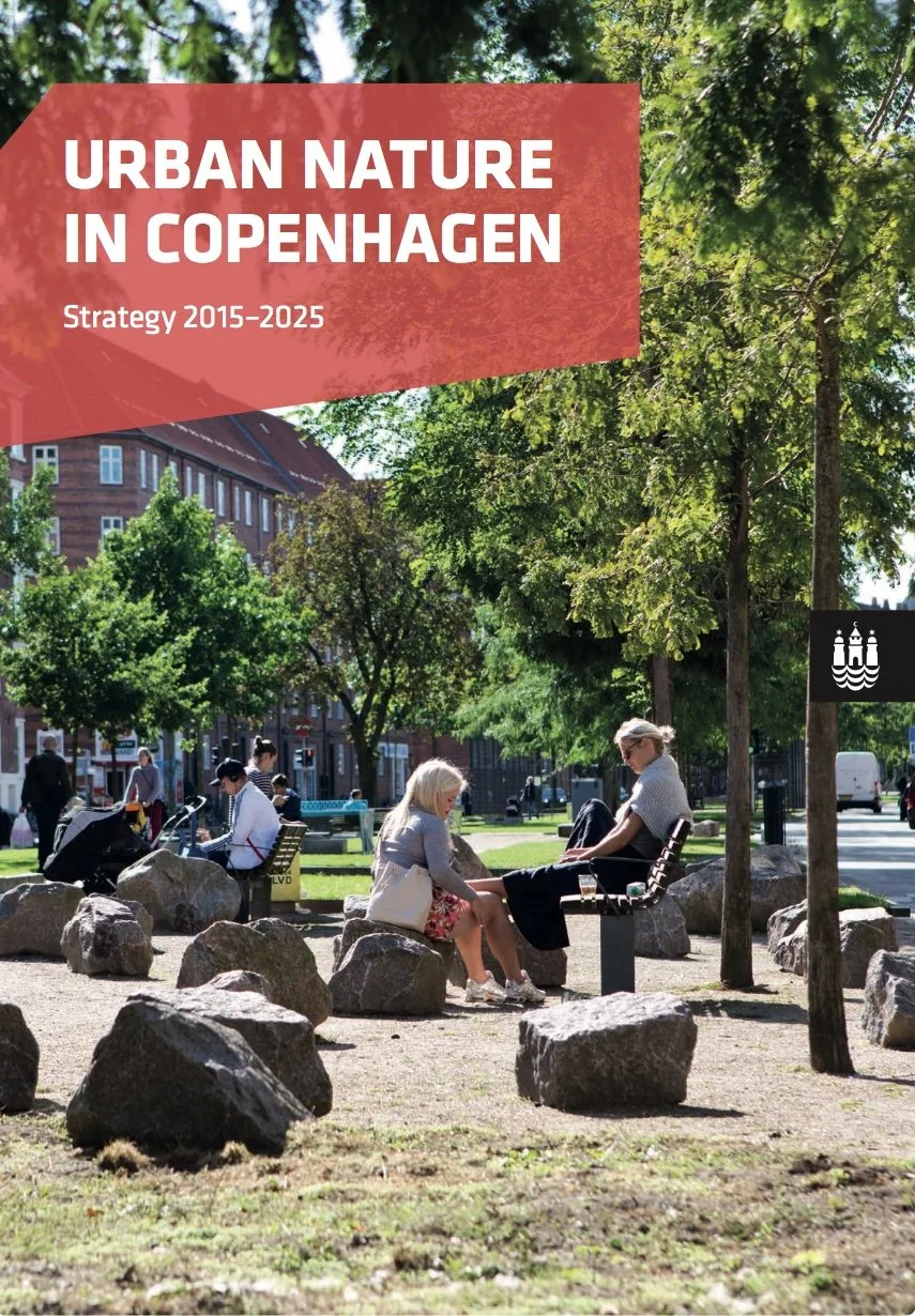
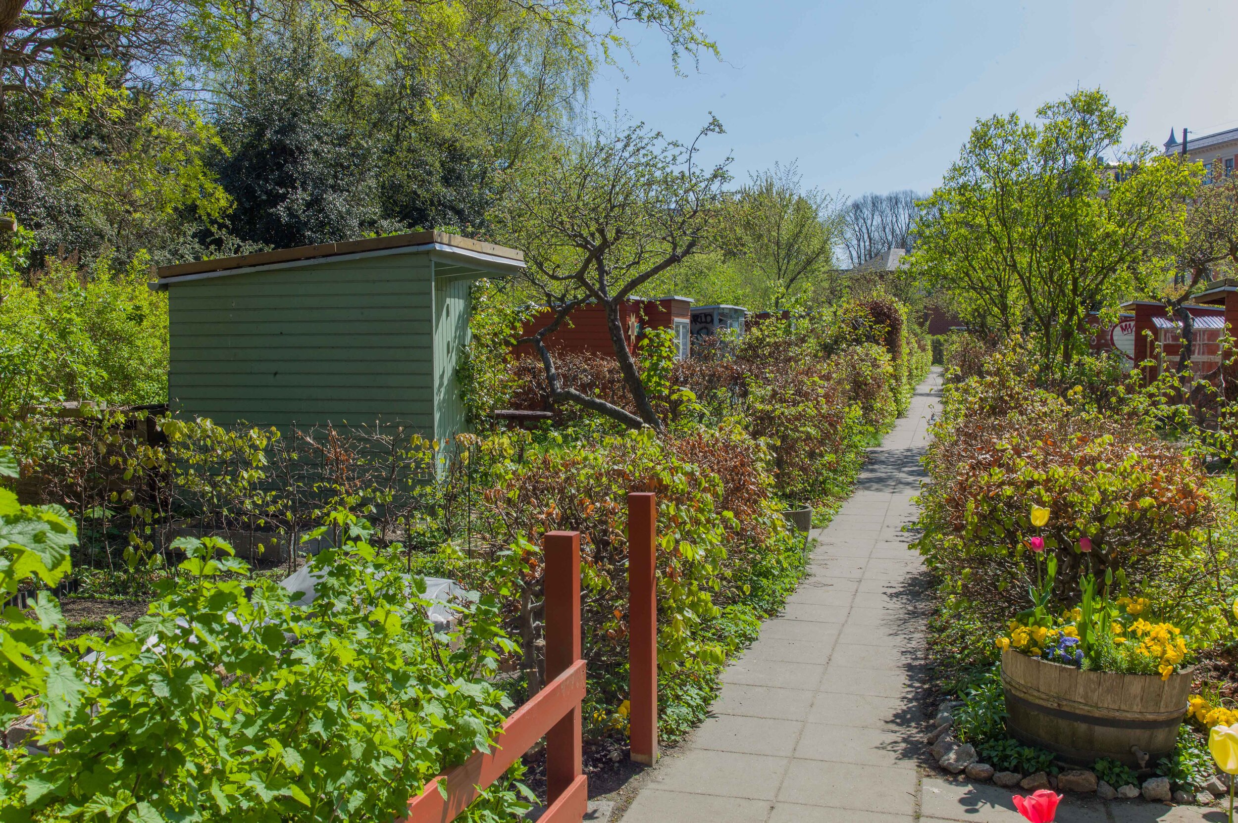
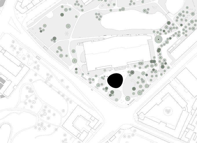
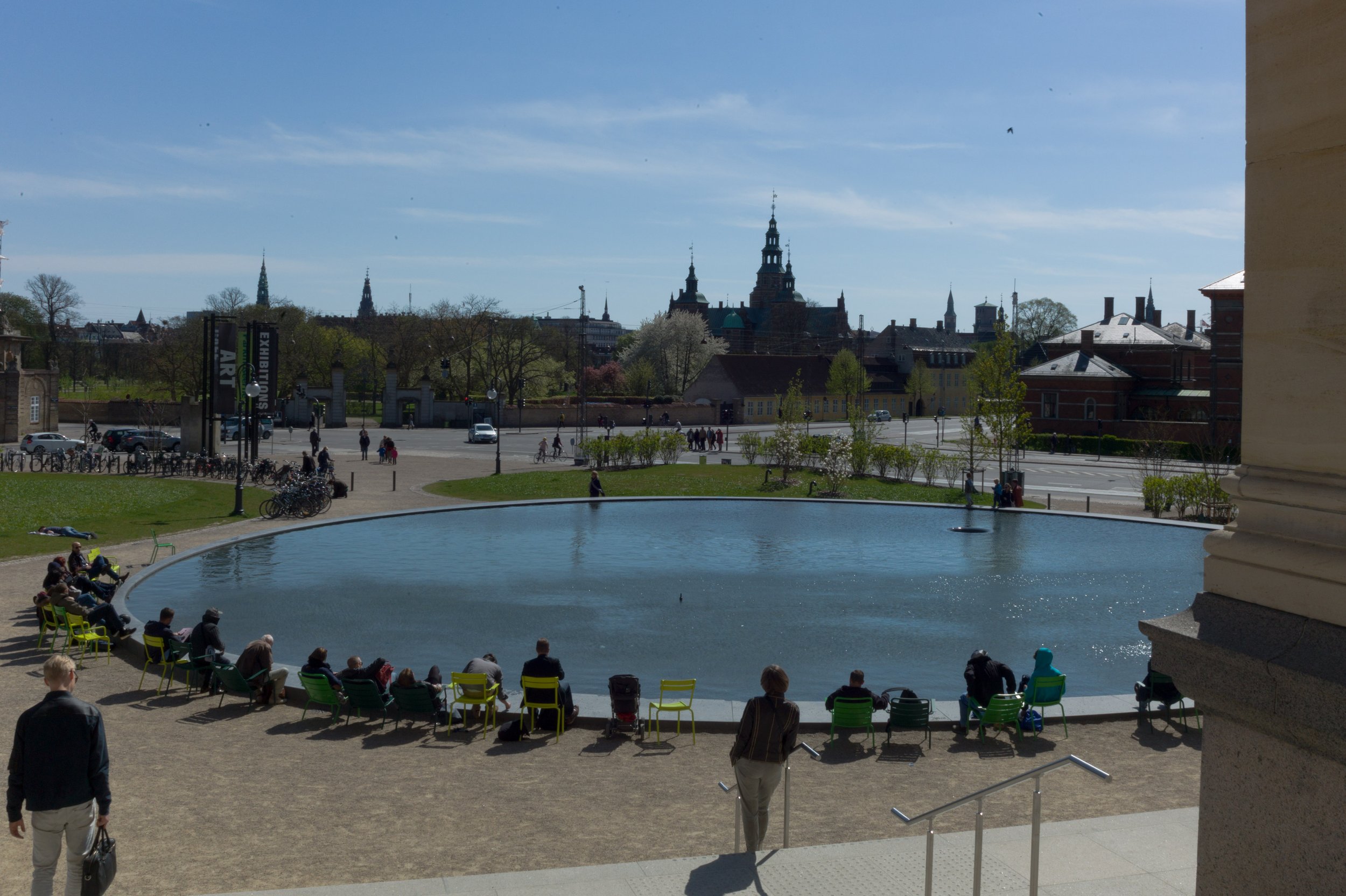
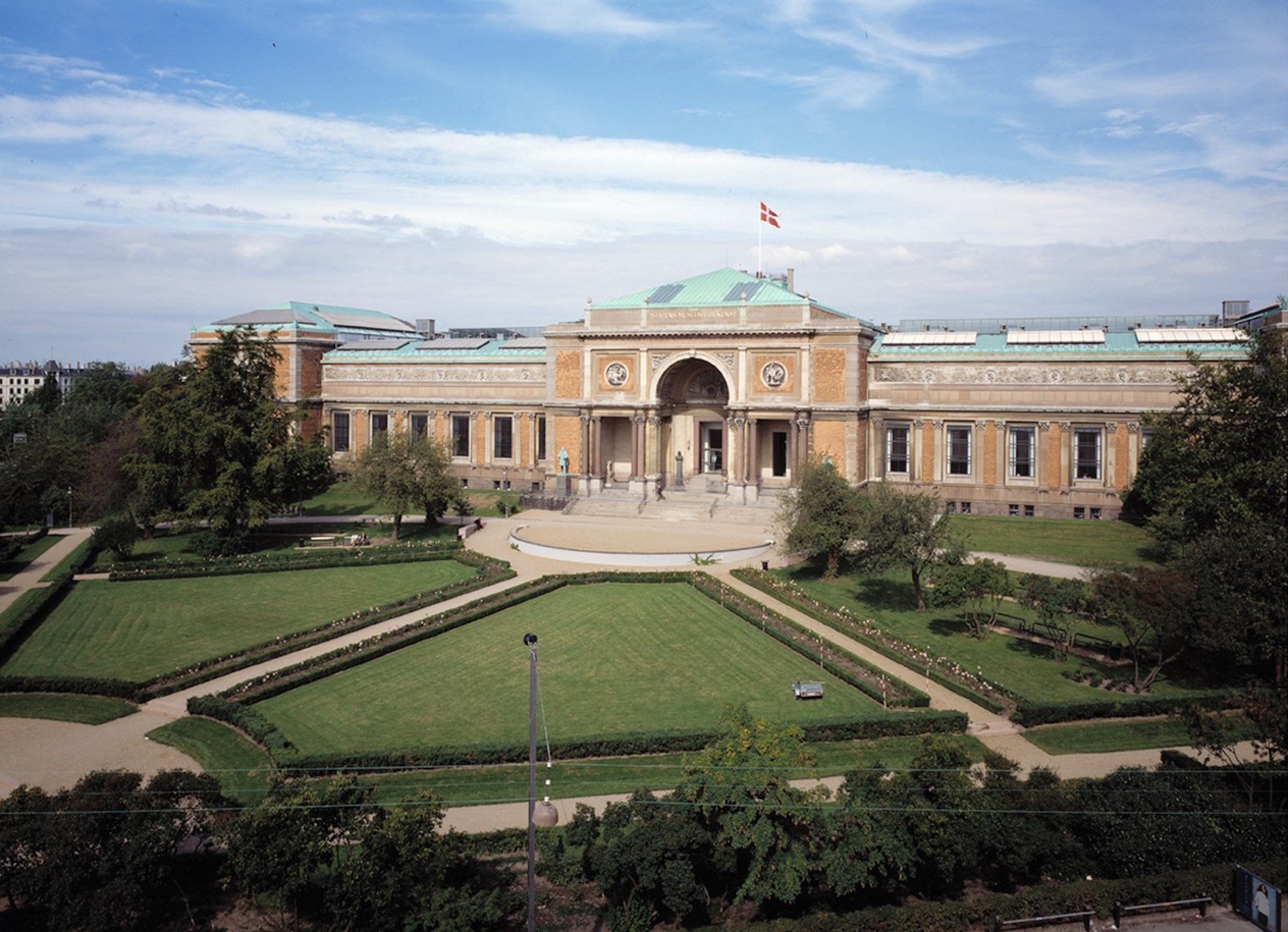
City Park in Ørestad
/

In September 2019, work started on a new and important phase of landscaping, with new planting, at Ørestad Byparken - the City Park in Ørestad. Ørestad is the large area of housing and offices on Amager, that issouth of the city centre and to the west of the airport.
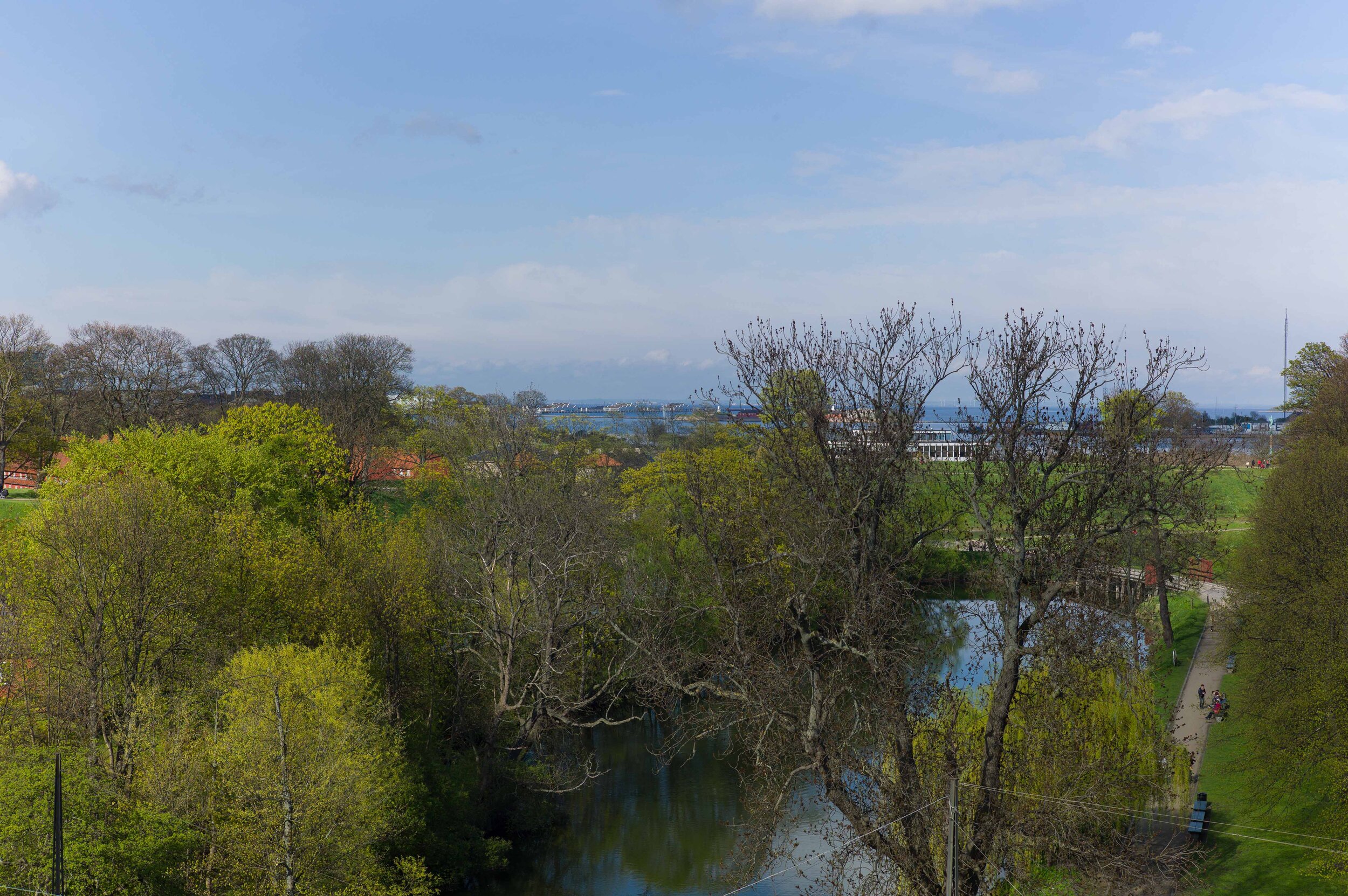
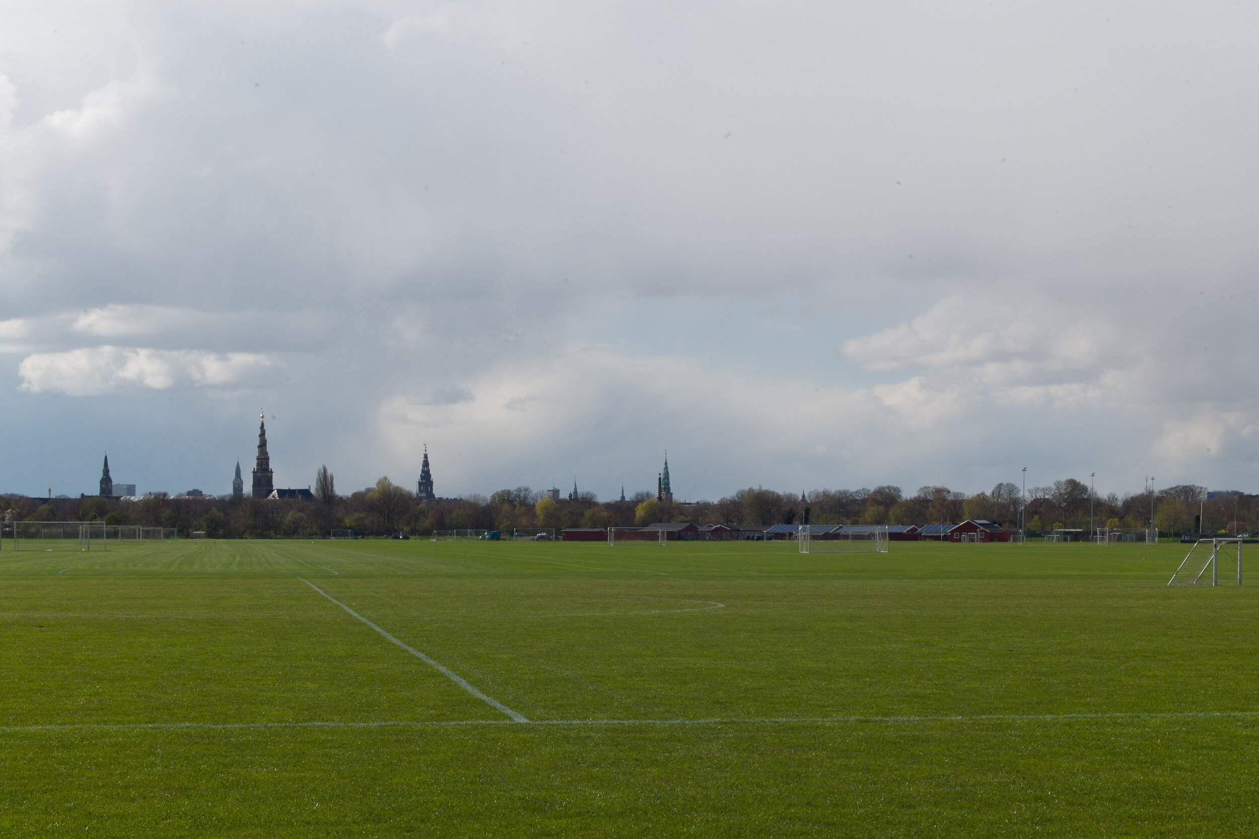
Opened in June 2008, from the start, city park was planned as the major open space for this new area of Copenhagen. It occupies a large city block that is over 460 metres wide between Center Boulevard to the west and Ørestads Boulevard and the elevated line of the metro to the east. From north to south, the park is 170 metres across with four large blocks of apartment buildings across the north side and four large blocks of apartments across the south side. When the first of these blocks were constructed, these were then some of the largest and tallest apartment buildings in the city - other than tower blocks - so the park is, without doubt, urban in character.
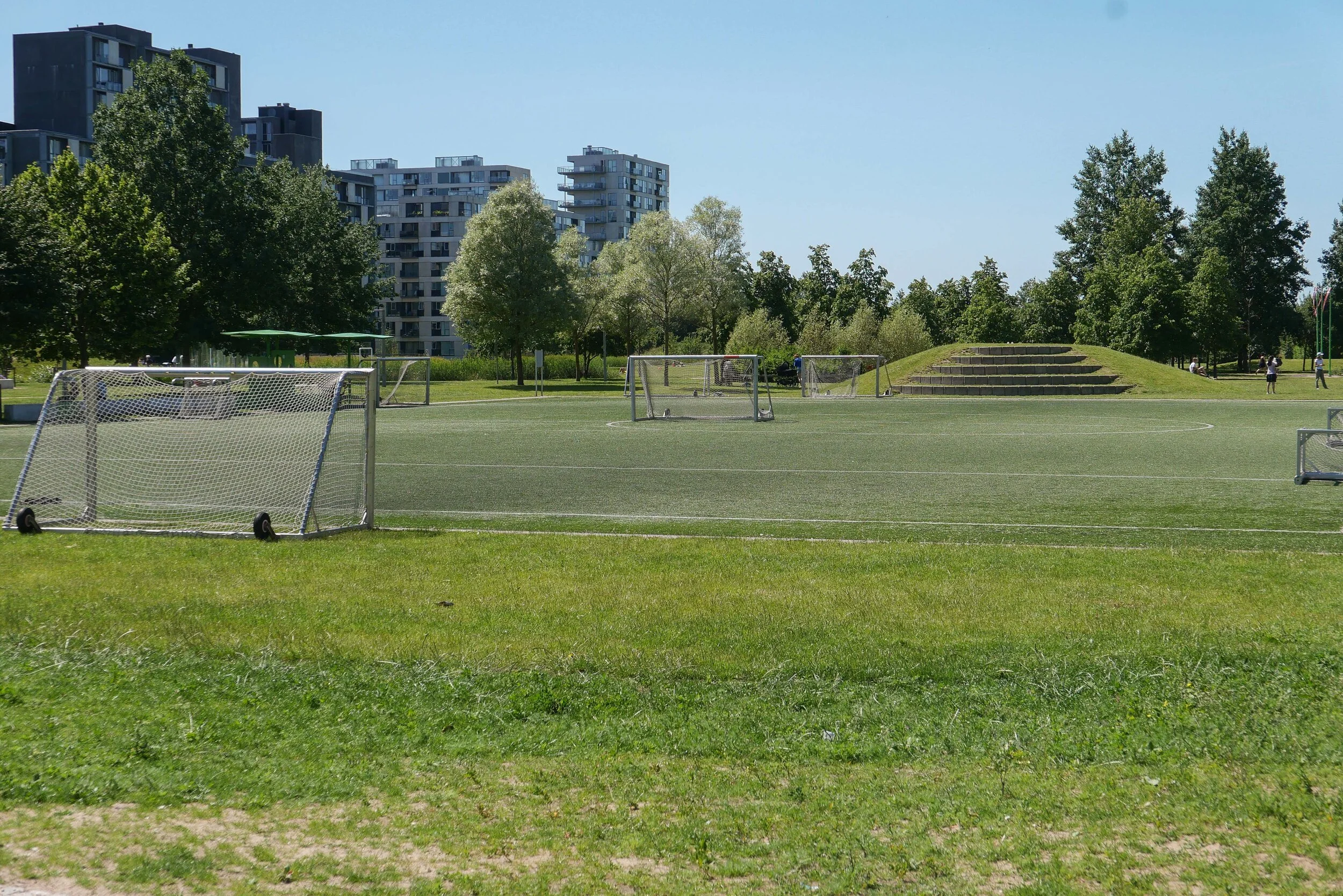
Initially, there was just a single wide path running at an angle across the space between the two boulevards but, over the last decade, areas for sports have been laid out and play equipment and sculptures have been added along with large, semi-mature trees with some moved here from Kongens Nytorv - the large public space in the centre of the city - where the trees there had to be cleared for construction work to start on a new metro station that opened in 2019.
The regular plan of Ørestad City Park and the high buildings on three sides make this the modern equivalent of the park at Enghave in the south-west part of the city that was laid out in the 1930s.
Early photographs of the park at Ørestad show that at first it was not just stark but was bleak but the work of the Ørestad Landowners' Association, now responsible for the park, have transformed the area into a major asset for the community.
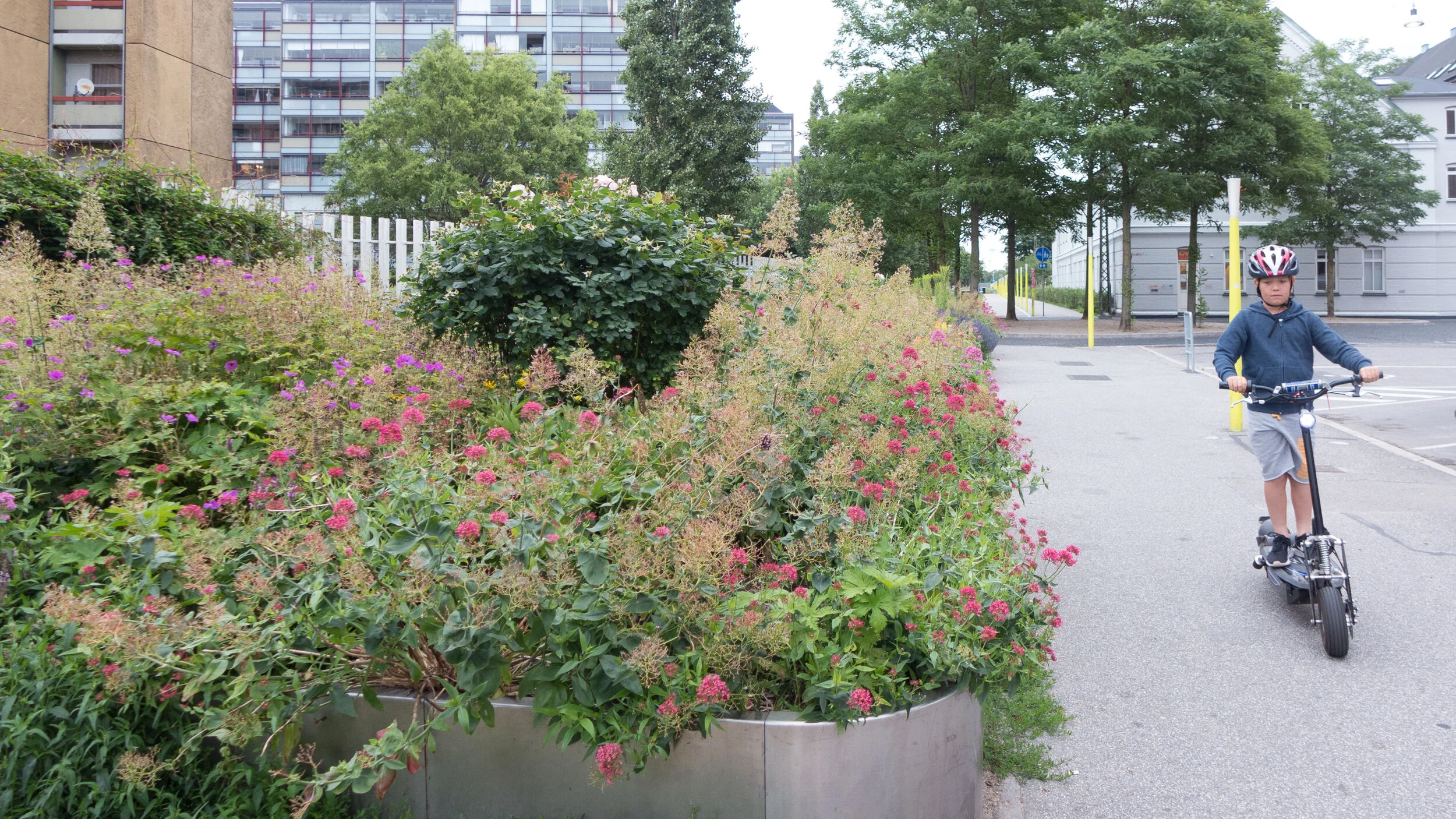
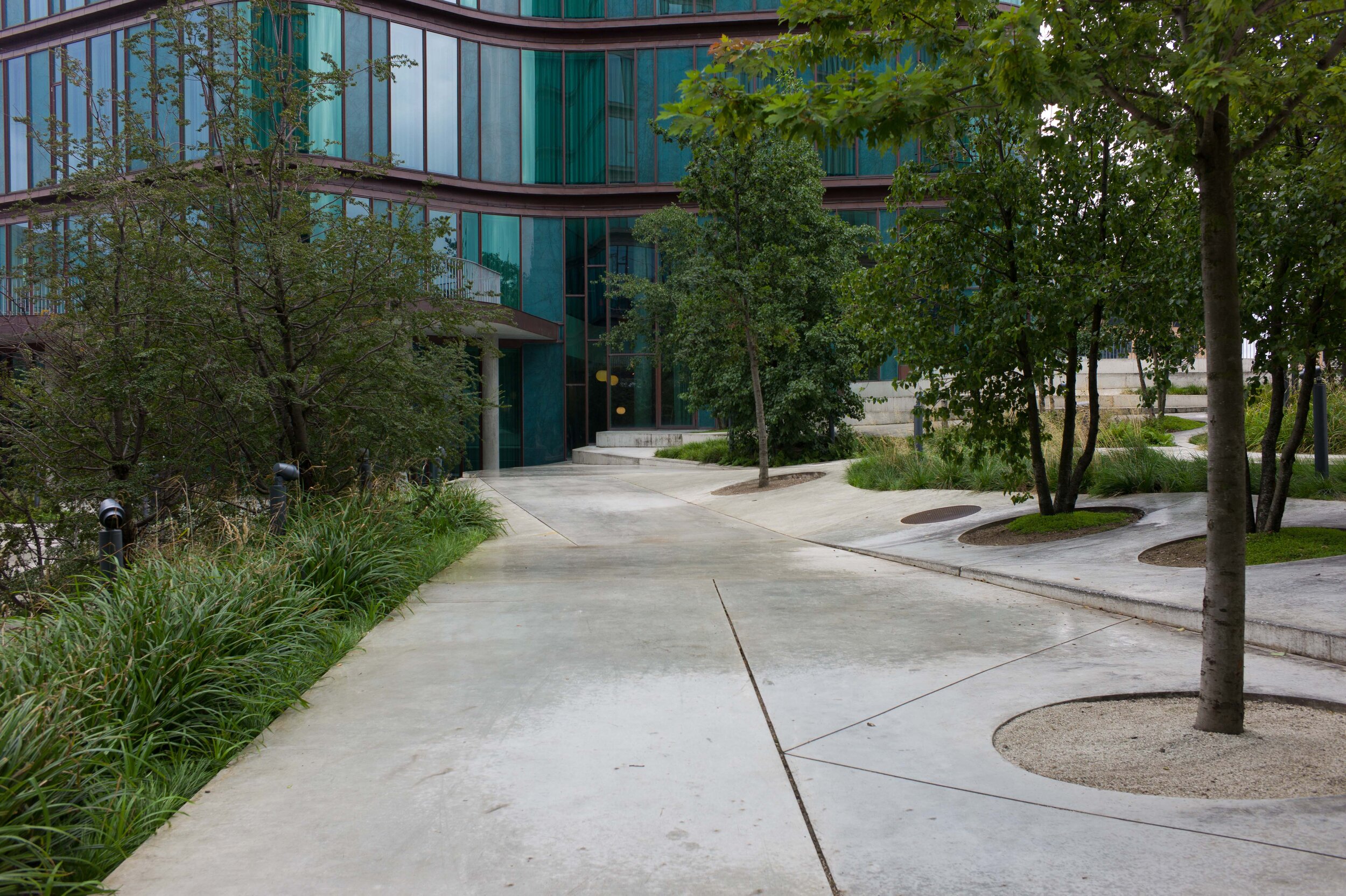
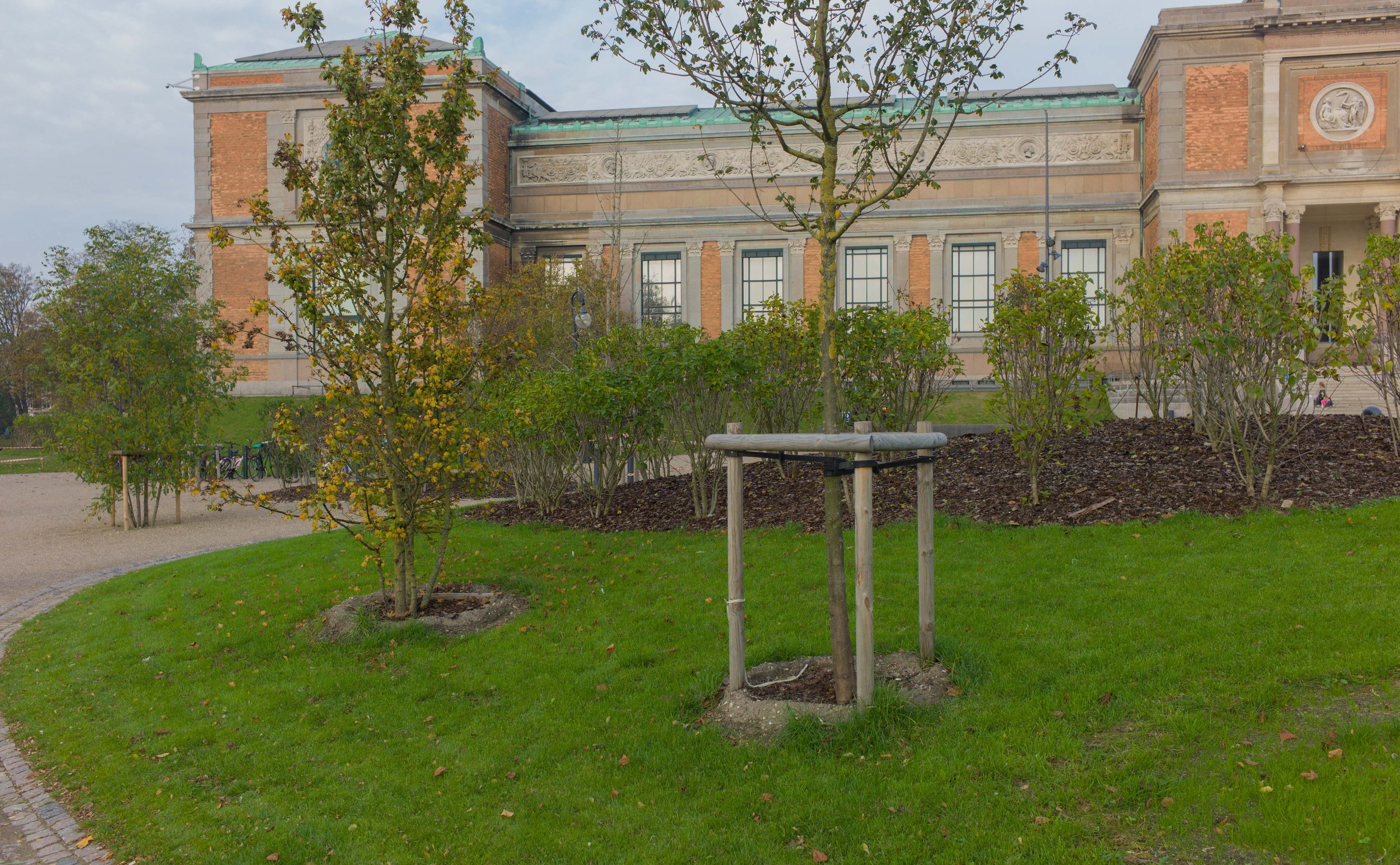
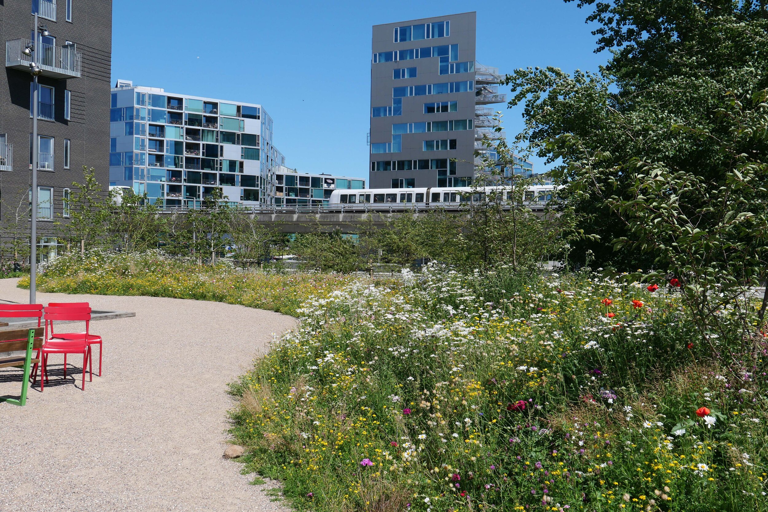
This, the most recent phase of improvements, was designed by the Copenhagen landscape architecture practice SLA Arkitekter. It covers a relatively small area at the north-east corner of the park but has created what is already a densely-planted buffer zone between the park and the main road and metro line that form the east boundary. There are mounds and features like a new area for playing petanque that was not in the original plan but was requested by local residents and this work creates a number of more enclosed spaces or outdoor rooms around the east and south sides of an existing football pitch.
Planting has been kept as natural as possible, for biodiversity, and has wild meadow flowers as ground cover. The hard landscaping, with bold rounded grass-covered mounds, has curved and twisted pathways for interest and this softens the hard and angular forms of the large buildings around the park.