the site of Carlsberg Brewery

When JC Jacobsen decided to build a new brewery outside the city, one reason would have been a need for more space to expand the business. His first brewery was in a courtyard in Brolæggerstræde - in a property that had been purchased by his father in 1826.

However, he must also have been concerned about finding a clean and consistent source of fresh water and ways to discard the waste from the brewing process. The water supply in the city had been a cause of concern for some time. There must have been water wells in the city but much of the ‘fresh’ water came from the lakes around the west and north side of Copenhagen and the supply of new if not fresh water had been secured by diverting water from a natural lake out to to the west to bring it to flood the damp, low-lying land below the defences. That man-made river flowed down what is now Åboulevard and the course had been cut in the late 16th century with what was little more than an open culvert and water, stored in the lakes, would become stagnant in warm weather and was polluted by run off from roads and fields. It was known to be unhealthy and the city had been discussing the construction of a new water supply and new drains for years but nothing had been resolved.

Up on the hillside to the west of the city there was fresh water and in 1847, the year Jacobsen started building his new brewery, the railway between Copenhagen and Roskilde was completed. The track was taken through a man-made cut through the hillside immediately south of the Carlsberg land, and fresh springs were discovered. Presumably the railway had been cut down through the water table.

In 1853 - not long after Jacobsen opened his new brewery - there was a crisis when cholera broke out in the city and hundreds of people died over that summer and it was accepted that it had been spread by contaminated water so the construction of a new and hygienic water supply became a priority. Jacobsen himself was a leading figure on the committee organising the work and a new water works, on the old defences just north of the west gate, opened in 1857.

Part of that work meant the construction of a new reservoir on Søndermarken - the park in Frederiksberg just north of the new brewery.

When Jacobsen purchased the land for his new brewery - just over 2 kilometres from the west gate - there was a broad slope here with views down over Copenhagen to the east with narrow fields, and just a few buildings including a number of windmills and there was a view to the wide bay south of the harbour.

Beyond the brewery site was the village of Valby - at the top of the slope to the west - with the old road from the West Gate of Copenhagen running out to Valby and then on to Roskilde across the north side of Jacobsen’s property.

Frederiksberg - the Royal Palace and the town - were to the north. The road from the west gate to Roskilde was re routed further north as an extension of Drederiksberg Allé and cut across the middle of the royal park.

The line of what was then a new railway from Copenhagen to Roskilde, that opened in 1847, ran across the south side of the Carlsberg site and marked the south boundary.

Vesterfælledvej now forms the east boundary of the Carlsberg land but the Jacobsens only acquired that additional land and further properties along Rahbeks Allé in a number of stages as the Carlsberg breweries expanded.

Vesterfælledvej was a field lane that ran out from Vesterbrogade to common fields and pastures. A map of 1860 shows a number of factories along the road including a brickworks and a Cichorie Fabrik - a factory producing coffee from chicory. Later, there was a tannery and then an ironworks and a porcelain factory were built along the road. These new industrial buildings mark a distinct change in the commercial history of the city as manufacturing moved from workshops in the city to industrial works or factories on what had been farm land or open land outside the city and outside the defences.

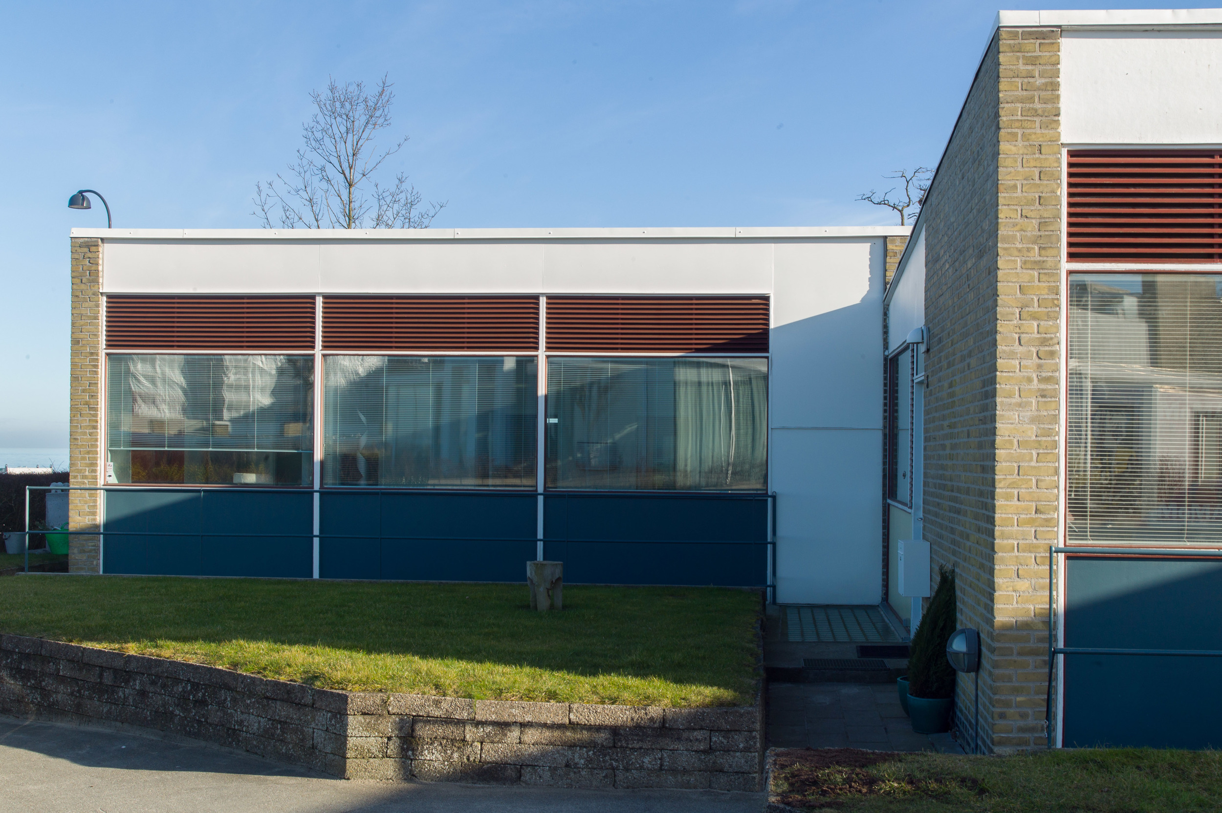
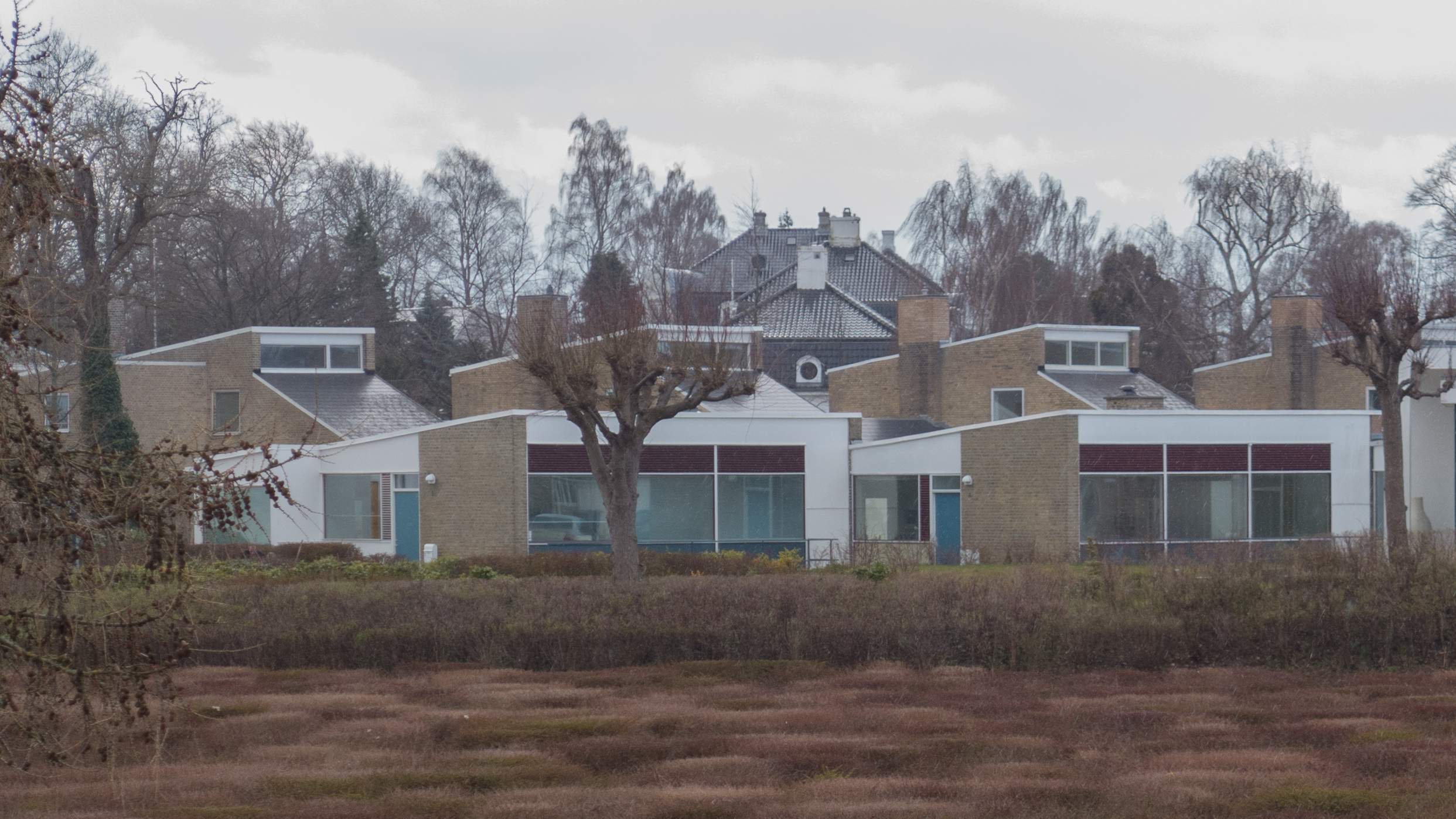
an introduction to the historic buildings of Carlsberg Brewery

from the top of the slope looking down to Copenhagen painted after 1847 -
on the far right the painter shows a train on the line from Roskilde that followed the line of what is now Sønder Boulevard and that opened in 1847
the large windmill, just to left of centre, is Amerikan Møller built in 1814 and dismantled in 1882
at the centre in the far distance is the palace of Christiansborg with the spires of the two churches on Christianshavn to the right and the distinct form of the Round Tower and the spire of Rosenborg to the far left
the angles of the sight lines suggest that the view was painted from close to the east side of the house that is marked on the maps as Gamle Bakkegaard so just south of what is now Ny Carlsberg Vej


detail of a map of 1860 with the line of the railway and the buildings of the new brewery and the villa and gardens of JC Jacobsen hatched
to the north, close to the south-east corner of Søndermarken, is a house around three sides of a courtyard and labelled as Gamle Bakkegaard
this was an older house that was occupied by Carl Jacobsen and his family
after four children died, the house was felt to damp and unhealthy so it was demolished and the present villa built on the site

note the porcelain factory of Bing and Grøndal, the Cichorie Fabrik and the Teglværk or brick works along Vesterfælledvej and the old inn, Sorte Hest - The Black Horse - up on the main road and the windmill - Amerikan Møller that is shown on the painting

the first buildings of the new brewery - to the left - and the house and Winter Garden of JC Jacobsen’s villa to the right
Copenhagen city archive reference no. 65539

the brewery yard from the north - Copenhagen City Archive reference no. 66665


detail of a map of 1860 from Valby to the west to the edge of the Tivoli Gardens on the right
Søndermarken and the reservoir are above the brewery
as a point of reference, the gasworks - shown at the bottom, towards the right -was demolished in the 20th century and the White Meat Market of Kødbyen built on the site
the line of the railway is as built in 1847 with the tracks following the beach along what is now Sønder Boulevard


Nørrebro ... the coolest neighbourhood

Recently, TimeOut Magazine published the results of their poll to find the 49 coolest neighbourhoods in the world.

The common criteria seemed to be that neighbourhoods have to have good food and to be fun with strong and diverse cultures but - with cities still caught up in the pandemic - there also has to be space for life outdoors and some sense of community spirit, resilience and sustainability.

Generally these neighbourhoods are fairly central, on the edge of the city centre, and distinctly urban so generally densely built, preferably with historic or re-purposed industrial buildings and with little high rise so dynamic urban areas rather than areas concocted by political committee or ‘planned’ on a drawing board and barely a developer in sight.

For most of these neighbourhoods, green space and water - rivers or lakes - are a huge plus but also life seems to spill over, into and across the streets where there is a strong sense of the local so independent shops and new and upcoming restaurants with barely a global chain in sight.

Nørrebro - the inner northern suburb in Copenhagen - slightly to my surprise - came in as the number one neighbourhood in the world. That's no disrespect to Nørrebro, but, here in Copenhagen, citizens of Vesterbro, Østerbro and Christianshavn would all challenge the decision.

But the TimeOut poll concluded that Nørrebro " is a dazzling blend of historic landmarks, ultramodern architecture and food and drink joints to make this famously gourmet city proud."

Traditionally, Nørrebro has been an area of cheaper housing and mostly housing in older apartment buildings dating from the late 19th century or the early 20th century. It attracts students and newcomers to the city looking for somewhere to live and the mixture of cultures here means that there are vibrant, cheap restaurants and diverse food shops and there are also good cinemas and theatres.

On the down side, Nørrebro has less green space than any of the other neighbourhoods of the city although that is something the planners are trying to rectify but the south edge of the area is defined by a string of lakes that once formed a part of the outer defences of the old city and the paths around the lakes are now an incredibly popular place for people to walk or run. There are popular restaurants with outdoor seating on the Nørrebro side of the lakes.

These lakes form the boundary between the inner city and Nørrebro and a wide stone bridge over the lakes, with wide pavements and ornate iron street lights, has a parapet that faces south west so this is a good and often sunny place to meet up in the late afternoon or early evening as people head in and out of the city.

Fælledparken, a huge open area with sports pitches and gardens and lakes, is immediately east of  the district but the only large, open areas of green space within the neighbourhood are a long, curved park across the north side - on the line of an old railway - and the large cemetery - Assistens Kirkegård - that is crossed by paths and avenues of trees where families come to walk and look and sit on benches in the sun to talk. A Sunday afternoon stroll in a cemetery …. you can't get much cooler than that and it is an easy, traffic-free route to Jægersborggade ... a shopping street so cool it's almost very uncool.

the TimeOut poll

1 Nørrebro, Copenhagen
2 Andersonville, Chicago
3 Jongno 3-ga, Seoul
4 Leith, Edinburgh
5 Station District, Vilnius
6 Chelsea, New York
7 XI District, Budapest
8 Ngor, Dakar
9 Sai Kung, Hong Kong
10 Richmond, Melbourne

with the stations of the metro inner circle that opened a couple of years ago - marked here - and with Nørrebro train station on the suburban rail service and frequent buses along Nørrebrogade that run out to the airport, the neighbourhood is now well served by public transport


Assistens Kirkegård


Nørrebro Theatre
Dronning Louises Bro - crossing the lakes - is the gateway to Nørrebro
Nørrebro library and Nørrebrohallen sports halls in converted tram sheds

Nørrebro suburban railway station
Dronning Louises Bro on a quieter day
Superkilen park - a long and narrow urban park designed after extensive discussions with local people


Carlsberg Byen - Carlsberg City District


It’s unusual to find that I don’t like new buildings or modern urban-landscape projects in Copenhagen … I even like Ørestad with its raised metro track and its sense of being a Danish Metropolis. It’s not that I’m uncritical but at the very least I can usually see and usually understand if there were problems or constraints that meant some parts of a new development were and are a compromise.

That’s why, after walking around the first stage of the massive redevelopment of the Carlsberg brewery site … a new campus for University College Copenhagen along with what are presumably commercial office buildings immediately north of the new Carlsberg suburban railway station … I just felt perplexed about why my initial reaction was not positive.

I hoped it was just because that first visit was on a wet grey Sunday afternoon. So I have been back several times to see if it looks different with more people around or looks different at different times of day. It’s not bad compared with commercial developments in other cities … just that it’s as bad … and I guess I expect more in Copenhagen.


The buildings are very very large … the main block, Bohrstårn, has 29 floors and is about 100 metres high … and the blocks around it are packed tightly together and hard against the edges of the plot so there is little opportunity to appreciate any composition or arrangement of volumes and external spaces - just deep and rather featureless gaps between the buildings - and the main courtyard at the centre is really too narrow and the buildings around too high to read as a square. The buildings themselves are severe with no vertical or horizontal articulation on the facades and there are odd patterns of windows which seem to be random in some places and that destroys any sense of rhythm to the fenestration. 


Overall, the design seems to depend on playing with different types of cladding that has little to do with the architecture behind or rather little to do with the engineering and the arrangement of spaces behind the facades.

For the supermarket at one corner of the development, the top part of large windows towards the ‘plaza’ have already had be blanked out to cover heating and lighting ducts and in the service areas of the development there seem to be problems with sorting out doorways and access to ducts buried in the insulation. This would be less obvious if it was an internal service area but in fact this can all be seen from the very wide and very high tunnel through the buildings that is the access to the underground car park and a main access to the rest of the site from a new bridge over the railway and a new junction and new road from the south - a dual carriageway and tunnel that have the scale and character of a major motorway service station. 

But the real problem with the cladding of the buildings is that the colour is generally dark and flat in tone with no texture or modulation. Is this New Brutalism?


the buildings in Klampenborg by Arne Jacobsen


This amazing group of buildings in Klampenborg, within a relatively small area along the beach or set back immediately behind the coast road, were designed by Arne Jacobsen in the 1930s, with some houses added in the 1950s that includes the house where Jacobsen lived and had his own studio and drawing office. These are buildings by a major architect exploring a number of construction systems and experimenting with the use of new materials, including concrete, and working on an astonishing range of building types and with a significant influence on the landscape setting.


The buildings from the 1930s include:

  1. Coastal Baths with Changing Rooms and Life Guard Towers 1930-1932

  2. Bellavista Housing Complex 1931-1934

  3. Mattsson Riding School 1933-1934

  4. Additions to the Riding School Restaurant with a verandah

  5. Bellevue Theatre and Bellevue Restaurant, Strandvejen - 1935-1937

  6. Texaco Service Station, Strandvejen, Skovhoved 1937

  7. Kiosk complex and kayak club to the south of the coastal bath built in 1938


After the war, the Søholm houses were built on the gardens of an old house that was demolished but gave its name to the new houses. Their designs mark a move away from the white walls and flat roofs of the International Style of the earlier buildings.

  1. Søholm I 1946-1950

  2. Søholm II 1949-1951

  3. Søholm III 1953-1954

Perhaps the one regret is that an opportunity was missed here in that Jacobsen was not commissioned to design a new railway station for Klampenborg in an appropriate International Modern style or is that expecting just too much in a boxed set?


notes and background:

Klampenborg is north of Copenhagen, about 9 kilometres from the north-east corner of the old city at Østerport.

Now, as you drive out of the city along the coast road, there appears to be continuous development, but, in the early 19th century, there was little immediately beyond the east gate of the city with a just a few large houses with gardens in the area between the lakes and the sea shore and then, beyond, what was then a relatively small settlement, Hellerup.

Further north, beyond Hellerup there were odd farmhouses and fishermen’s cottages - several single-storey thatched houses survive among the later villas - but most people travelling north out of the city must have followed a road just inland on higher ground through Lyngby. 

Immediately to the north of Klampenborg was Dyrehave, a royal deer park, that was established in the late 17th century but in the 19th century was opened to the public and became a popular place for a day out from the city when Bakken, an amusement park, opened on the south-east corner of the park in 1830.

Bakken is still a very popular destination for the citizens of Copenhagen … the main entrance is just to the north of the railway station. 

The railway line to Klampenborg was constructed in the 1860s and the current station building dates from 1897.

A coastal fortress at Charlottenlund, south of Klampenborg, was built in the 1880s as part of an outer defence to protect the Sound and the approach to the harbour but it had a relatively short life in military control and was de-commissioned in the 1930s when its earth ramparts were opened to the public as part of a new coastal park. The coast road was pulled back from the shore and sand was imported to form a wide new beach for sea bathing at Klampenborg.

There was a trolley bus service out to Klampenborg from Copenhagen and a coastal steamer that brought people here from the city with new boats brought into service from 1934 and in that year a suburban train service from Copenhagen to Klampenborg - the S train - opened making it possible for middle-class families to live in Klampenborg and commute into the city to work or shop.