Jægersborggade

With overcrowding in the old cemeteries in the city, a new cemetery, Assistens Kirkegård, opened in 1760 on open fields beyond the lakes.

Jagtvej, a main road running eat west across the outer side of the cemetry was by then well established as a way from Frederiksberg to the coast road - the first outer ring road? - but historic maps show that the area beyond the road was still small open fields well into the 19th century.

Bjelkes Allé, immediately to the east of Jægersborggade was laid out in the 1870s with houses on both sides. A map of 1880 shows what is now Husumgade, to the east of Bjelkes Allé, as a double line of dots down the centre of the field so, presumably, work was about to start on building that street and by 1890 maps are showing buildings on either side of what was then the new street of Jægersborggade in the field to the west of Bjelkes Allé.

One history of Jægersborggade suggests that, by 1900, all the apartment buildings had been finished and that there were as many as 700 apartments on the street.

If you compare the architecture here to buildings on Bredgade or Amaliegade in Frederiksstaden, the new area that was laid out beyond Kongens Nytorv in the late 17th and 18th centuries, or the buildings around the Kings Garden, I cannot claim that the buildings of Jægersborggade are the most significant architecture in the city, but, they are one of the best and the most attractive streets of apartments for artisans and lower middle-class families and the present success of the street, with its attractive shops and restaurants, is a success story that reinforces the value of renovation way and beyond anything to be gained from demolition and redevelopment.

shopping in Jægersborggade December 2018


detail of the land inspector’s map published by Hoffensberg & Trap in 1880

maps of circa 1890 show Jægersborggade but this map shows field plots and buildings in more detail and is of interest because it shows the first suburban railway line that came across the lakes from the central station - then on the north side of Vesterbrogade - and curved in an arc first to the west and then across the north side of the city to join the coast line that started from Østerport

where the railway cut across all field boundaries, generally, new residential roads were laid out down the centre of a narrow plot and different builders then built on the divisions …. explaining why adjoining buildings could be in such different styles with variations in plan and, even, in the social level they were aiming at.

the map shows that in 1880 there was no station at Stefansgade - the site of the first Nørrebro station. One reason for the importance of Jægersborggade was that when the station opened, the street was a main access. The station and the railway were demolished when the suburban rai line further north was constructed with a new Nørrebro station in its present location


Karen Blixens Plads

approaching the square from the metro station at Islands Brygge


Designed by the landscape and architecture studio COBE, Karen Blixens Plads is at the centre of the south campus of the University of Copenhagen and is one of the largest public spaces in the city.

The square, with work just completed and now open, is approached either from the north - from the metro station at Islands Brygge - or from the south from the direction of Amager Fælled.

The main area is paved with pale bricks and the main feature is shallow brick domes that cover part-sunken areas for leaving bicycles but they also form areas for sitting out and reduce what was a bleak and almost overwhelming space simply because of the size of the open area.

To the south the shallow circular mounds are repeated but are heavily planted and with winding pathways between them that create more sheltered areas. Several sunken areas have wetland planting and control the run off of rainwater.

earlier post on Karen Blixens Plads from June 2017 when work began

above - approaching the square from the south - from Amager Fælled

below - the main area north of the library before work started

select any image to enlarge and open as a slide show


Enghave Plads

Vesterbro - the part of the city immediately west of the central railway station - is a densely-occupied area of apartment buildings with most dating from around 1900.

This was a strongly working class part of the city with the main rail line forming the southern boundary and with the meat markets, gas works and the harbour presumably supplying much of the work and the Carlsberg brewery was, until a few years ago, to the west.

The street pattern of the district is complicated with two main roads - Istedgade and Sønder Boulevard - running out at an angle from the railway station at the north-east to the south east but with secondary cross streets of traditional apartment buildings running north to south and there are also several streets running across the area from south east to north west so it a complex pattern of a grid but overlaid with a Saint Andrew cross so some streets meet or cross at odd angles.

At the south end of Istedgade is Enghave Plads - a large open square much wider east to west than the distance across from north to south and it narrows at the centre. This square is where several tram routes met so it was always an important point in the area and immediately to the west is a very large square with a major public garden - Enghave Parken - that has large apartment buildings on the north, west and south sides so the two spaces run together though divided by a busy main road - Enghavevej.

Enghave Plads is the site of one of the major new metro stations on the new circle line that will open at the end of September. The east end of the square and some of the surrounding streets have been boarded off for about a decade with major construction work for the metro but the boarding has just been taken down and the space with it's new landscaping opened officially.

There are large areas for leaving bicycles across the north or darker side of the entrance steps to the metro station but across the south side of the metro entrance there are raised beds with Corten edging and long raised bench seats and then to the west more open space for events. This area has striking new seating that has deep red slats on a black metal frame and these form great bold curves though the initial reaction to the seating has been mixed - some asking exactly why people would want to sit next to each other in long rows even if they are curved. Mature trees to the west, along the main road, have been kept and provide a baffle against the sound of traffic and shade for more seating and an area that is fenced for ball games.

Copenhagen Metro

Vesterbro with the main railway line to the south, the MeatPacking district in the cirve of the railway and the main railway station top right
Enghave Plads just left of centre and Enghave Parken towards the left side

Enghave Plads from the east with the square of Enghave Parken beyond

tram leaving the square and heading along Istedgade towards the railway station … the area between the buildings and the central space has been paved over and the main through traffic has been restricted to the north side of the square


Gammel Strand


the official site for the city Metro has news, general information, drawings and a short description of the new stations along with pdf plans of the area around each station at street level

Work is moving forward fast on the hard landscaping at street level above the new metro station at Gammel Strand … a station on the new circle line that will open later in the summer.

The steps down to the platforms and the glass covered lift tower are in place and setts are now being laid in the traditional scallop pattern across the main area so the new arrangement for this important historic street is becoming clear.

There was consultation with local businesses and local residents. Vehicles will be excluded, apart from deliveries, so the only through traffic will be a new narrow bike lane but with markings showing lanes to cycle in both directions.

The existing road, now being removed, runs parallel to the building frontages with just a narrow pavement so with little space for outside tables and chairs for the restaurants here. With the bike lane set forward closer to and parallel to the canal there should be much more space for people to sit outside and the gentle curve of the bike lane takes that bike traffic along the side of the canal further west rather than running as the road does now through in a straight line to Snaregade.

There will be steps down from the street level of Gammel Strand to a lower canal-side level for access to boats but as a sun trap it will certainly be used by people simply wanting to sit and watch what is happening on the water.


The work at street level around each station is crucial. People will quickly get used to the new arrangements of steps and paved areas and new road alignments and, inevitably, find it difficult to remember what each area looked like before …. particularly as the disruption of major engineering work has meant temporary arrangements and high hoardings around many parts of the city for many years.

The precise arrangement of steps and lifts and the crucial bike stands will be important not just for how each station deals with the numbers of passengers each day - estimates suggest that 18,000 passengers a day will use Gammel Strand - but the planning will determine the way people use the area immediately around each station.

Here at Gammel Strand, many using the Metro will be heading to or coming from the parliament buildings at Christiansborg on the other side of the canal so the steps up and down from the east end of the platform are double width. It seems that, in part to respect the historic quay side, and reduce the impact of the new station superstructure, Gammel Strand will not have skylights found on most of the existing stations to throw light down, between the escalators, to bring as much natural light to the platform as possible.

Gammel Strand was a commercial quay backed by warehouses and merchants’ houses but for many years it was also the fish market until it was moved out south down the harbour to Fisketorvet.

Fishwife by the sculptor Svejstrup Madsen - set up on the parapet wall of the quay in 1940

Fishwives continued to trade here long after the main fish market was moved


Snaregade and Magstræde

the east end of Snaregade from Gammel Strand (top left) - the building to the left is the courtyard house now used by the Minister of Culture

the warehouse of Sthyr & Kjær rebuilt in 1903 with the frontage 6 metres back from the historic street line


the area in the middle of the 18th century from the map by Christian Gedde
the canal is along the bottom

note there were then buildings at the west end of Gammel Strand, the building occupied by the minister of culture then had a courtyard open on the side towards the canal

the L-shaped building at the corner of Knabrostræde and Magstræde had that front courtyard by the mid 18th century

the warehouse of Sthyr & Kjær is on plot 33 of the 18th-century map - the small house with a small courtyard behind at 32 survives and the warehouse was built out across a range to the west that in the 18th century was part of the building on plot 42 of what was then Wand Mölle Stræde but is now, more prosaically, Rådhusstræde

 Life Between Buildings 1

Gammel Strand, now in the centre of the historic city, is approximately on the line of the foreshore and the first wharves of the early settlement and, up to the late 16th century, someone standing here, could have looked south, across the short distance to islands where the castle was built, and, beyond, the north shore of the island of Amager well over a kilometre away.

Now, Gammel Strand has the canal along its south side with Borgen, the castle, on the other side of the canal. The space gradually widens out to form what is, in effect, a long triangle and across the west end is a large courtyard house, now the ministry of culture, and then there are two blocks of buildings, beyond the courtyard house, between there and Rådhusstræde, with the line of the building frontages of Gammel Strand continuing on as the city side of a narrow lane that is first called Snaregade and then, beyond a cross street Knabrostræde, continuing as Magstræde.

This narrow lane, Snaregade and Magstræde, is just 7 metres wide at the Gammel Strand end and barely wider along the whole length. This is essentially a street with no space, let alone space for Life Between Buildings.

The buildings vary between two and four floors, some with half basements and with relatively narrow but irregular plot widths. In this party of the city you get a very clear idea of just how tightly packed the buildings were within the city defences by the late middle ages. Many of these buildings, close to the wharves, appear to have been owned by merchants and there would have been workshops as well as store rooms and living accommodation here - some of it quite grand.  

There is little space for any street furniture and few places to stop and no seating but actually it is one of the most beautiful and certainly one of the evocative streets in the city.

It demonstrates many of the points mad by Jan Gehl in his book Life Between Buildings.

For a start, the narrowness means that the details of the building become much more important as you are walking hard against the frontages, and you can see, where you cannot look directly into the windows of ground-floor rooms, just why householders gained privacy by raising the lower rooms above a half basement of storeage space or workshops so the ground-floor rooms are actually half a floor above the street or in grander houses the main living rooms could be on the first floor.

Also important is that although short - just 700 metres for the two streets in line - the frontages of the houses curve in and out so you cannot see from end to middle - let alone end to end - so you see more of facades ahead even though the street is so narrow.

Signs become important and few of the buildings had or have shop windows … a relatively late introduction in most cites and towns.

The street is as attractive as it is because of the variety and the quality of the historic buildings but it is important that the street has setts rather than tarmac. There are narrow foot paths but note virtually no yellow lines. One of the most civilised aspects of the historic centre is that Danish drivers generally respect parking restrictions with simple signs and little more than a small yellow triangle on the kerb.

Only in two places does the street widen out. At the middle where Snaregade and Magstræde meet at Knabrostræde it looks as if the house at the north-west corner has been rebuilt as some stage as as L-shape against the adjoining buildings rather than as an L-shape along the street lines.

Towards the west end of Magstræde, a five storey brick pakhus or warehouse for Sthyr & Kjær, sugar merchants and makers of matches, was constructed in 1903. The street frontage was set back just over 6 metres to create a forecourt the width of the building - 11 metres wide - presumably for loading and unloading but also to allow more light in through the windows here now 13 metres rather than 7 metres back from the buildings opposite.

Gråbrødretorv

Life Between Buildings 2

This square in the centre of the historic centre is on the land of a Fransciscan monastery founded in 1238 and closed in the late 16th century when the land was used for houses of various sizes. Most were rebuilt after the fire of 1728.

This is now one of the most picturesque old squares in the city but is a bit of a hidden gem tucked away on the north side of Strøget - The Walking Street - behind Heligaandskirken. It is a triangular space about 70 metres long and just 45 metres wide at the inner end and 20 metres wide at the east end where the narrow end of the square has the street called Niels Hemmingsens Gade runnng across.

Most of the entry points into the space are through alleys or secondary pedestrian spaces off the square such as Kejsergade and the space is covered with setts and is free of vehicles apart from access for deliveries.

Around the square are cafes and restaurants that have tables outside and there is surprisingly very little street furniture. This is a space for walking, for looking and for sitting outside to eat and drink. There is an oddly placed Pissoir - at least tucked away but across the small side space of Kejsergade.

There is a large stone water feature - Vandkunst - by the Danish sculptor Søren Geog Jensen with the date 1971.

The main feature of the square is a large Plane tree at the narrow end protected by old iron railings. Benches are set around the tree to look outwards … Jan Gehl observes that people prefer to sit with their backs against something - protected and so they can look outwards at activity n the space even if they are not taking part. There are other benches around the square but generally set back against the front of buildings and the other main street furniture is simple modern street lights.

When the square was first pedestrianised it was popular with students from the university nearby and some comments suggest it was sometimes too crowded for the size but is generally now quieter and is unusual in the city because there are no shops.


about 1900 with a market building in the centre


map by Christian Gedde showing the square in the middle of the 18th century

Copenhagen's biggest urban carpet

Life Between Buildings 3 - Israels Plads by COBE

In 2016 there was an exhibition - Our Urban Living Room- Learning from Copenhagen - at the Danish Architecture Centre that looked at the work of Dan Stubbegaard and his architectural office COBE established in 2006. In the catalogue, the work by COBE on redesigning the large public square at Israels Plads - completed in 2014 - is described as “Copenhagen's biggest urban carpet” and there is a sketch of the square with the surface drawn like a giant Persian rug with tiny people on it and the corners rucked up.

These corners of the carpet are now the bold steps rising up across the south-east corner of the square and a prominent V-shape of steep steps at the north-west corner of the square that covers an exit ramp from the underground car park below the square.

Israels Plads has new trees in a bold pattern of circular planting and seating areas; courts for sport; play equipment for children; open space for events like flea markets and plenty of areas where people can sit and watch was is happening here.

With this extensive new work, the square is now closely linked to a large and well-used public park immediately to the west and is adjacent to Torvehallerne - very popular food halls - immediately to the east, that opened in 2011. This is all just a block away from the major transport interchange of the station at Nørreport - an area also remodelled by COBE - so within a few years, and with justification, Israels Plads has become one of the most popular and best-used public spaces in the city.


history

Until the late 19th century, this part of the city was just outside the old defences - the banks and ditches that surrounded and protected the city - just outside the north gate and immediately to the west of the important road leading up to the gate. The road came through what is now Nørrebro and crossed the lakes before crossing the ditches of the defences. A large park immediately to the west of the square has part of these defensive ditches retained to form a large lake.

When the defences and the gate were removed around 1870 this was still a main road into the city and as the city grew rapidly out to the north, with big apartment buildings, the square was left as an open space and was used as a market area - the Grønttorvet or vegetable and fruit market - for produce brought to the city for sale.

The market remained here until 1958 when a new wholesale vegetable and fruit market was built in Valby, out to the west of the city, and the square was then used as a huge car park.

In 1973 an underground car park was constructed and football pitches were laid out on the square itself. I can remember coming to a flea market here on one of my first trips to Copenhagen. I can't remember if I bought anything but I do remember that several long rows of stalls set out along the east edge of the square hardly made an impression on the huge space and I remember that I came away with a thick coating of dust over my shoes.

Israels Plads at the centre with Torvehallerne - the food halls and open-air market between the halls to the east and Ørstedsparken and the lake - from the outer defences to the west and to the south, one block away, are the roofs of the pavilions of the public space above Nørreport station


the area beyond Nørreport or North Gate in 1860 before the defences banks were dismantled and before much of the water-filled outer ditch was built over

Over 260 metres long, this large space should really be seen as two distinct areas with Vendersgade between the two parts.

The east half has two large food halls with the main road into the city - Frederiksborggade - across the east side and Ørestedsparken - a large and well-used public park - is at the west end. There are good apartment buildings along both long sides and including a church and a large and important school. All these buildings date from the last decades of the 19th century. The roads along both long sides of the space have some access to vehicles for deliveries but only Frederiksborggade has relatively heavy and continuous traffic including buses.

Israels Plads itself is 150 metres long from Vendersgade to the edge of the park - Ørestedsparken - and 105 metres wide from Rømersgade across the north side of the square to Linnésgade across the south side from the facades of the buildings to the facades of the buildings opposite.

These are good buildings, generally of four or five stories, and they define and enclose the space.

The square itself is free of vehicles and the edge is raised with quite a high step that has a distinctive iron edging to prevent cars driving up even to park briefly. There is parking under the square for 1150 cars - the largest in the city - with the entrance for cars down a spiral ramp at the south-west corner and the exit by a ramp at the north-west corner but what is important is that traffic cannot drive across the west side of the square - across the access from the square to the park. Cars, driving into the car park, come from Nørre Voldgade and barely get into the square before they are taken down the ramp and cars leaving are directed away from the square immediately they leave the exit ramp to leave the area by Nørre Farimagsgade.

There are four pedestrian access points for people leaving their cars or going back to retrieve their cars but these have open glass boxes with a relatively light structure over lifts and staircases and payment machines so these are barely obvious in such a large space.

The key to the popularity and to the success of the space is that it is large enough to take very different events and activities, often at the same time, and yet there are few fixed uses, apart from the the sports area, so there is considerable flexibility … it is people who decide what they want to do here and not the space or the street furniture that dictates what they do.

However, having said that, the space and the placing of street furniture is done with considerable care and subtlety to manipulates - to some extent - how people move through the space and certainly to direct where they look. There is a very clever use of diagonal lines so particularly the raised areas of steps across each corner lead you towards park at one end and out towards the food halls at the other.

COBE was also responsible for the redesign of the large street-level space above Nørreport railway station - just one block away - but there the design was approached from the opposite direction. Nørreport is the busiest transport interchange in the city with a large bus station and with suburban trains, below ground, and the metro below that so COBE started by tracking how people moved across the space at ground level as they arrived at or left the station and fitted new buildings and areas for leaving bikes in the spaces where they walked least. At Israels Plads it was an large open space - so almost a blank sheet of paper apart from the access points for the car park - and the design here is about placing street furniture to enhance and, in an almost subliminal way, control how people use and move through the space.

Paving is laid out as a large grid, like giant sheet of graph paper across the whole area, with 16 large squares across and 25 along marked out by bands of darker stone or long, narrow drain covers and then, within each square, a regular layout of rectangular slabs. This pattern rises up the outside slopes of the large raised areas of steps across the two corners to bring these into the overall design but also to reduce their impact when seen from the side roads.

The main features of the square and the street furniture are set in a series of circles of various sizes with the largest being for sport with two courts surrounded by a high fence although this fence itself is made a distinct feature by being arranged as a spiral climbing up from a main but narrow entrance point to keep footballs and so on in play. The surface of the sports area is sunk down slightly from the level of the main part of the square and there is an eccentric oval of soft surfacing that forms a bank around the sports courts where people sit to watch.

A second main circle is a shallow bowl for skate boarders and then there are a series of circles framed by a flat rim of iron with circular seats and with single trees and low ground-cover planting.

These circles are taken out into the space of the park and form what is almost a scalloped edge. Originally, there were railings that formed a distinct barrier between the square and the park but the road and the railings have been removed, across the end of the square, and the level of the square taken out as an apron, just beyond the line of the fence, to link together the two areas - park and square - and also to increase the impact of the change of levels from the square to the slope down to the lake in the park.

Across the front of the steep bank of steps at the north-west corner is a stone rill or water feature that gets wider towards the park with a series of fountains and with iron circles forming a bridge across before the water drops down through a series of circular basins down the bank.

The rill forms an effective division between the area where people sit on the steps across the angle of the corner to watch what is happening on the square. The rill keeps most skate borders to the square itself but also acts as a strong visual element, running at an angle, that leads people towards the centre of the west side and to the series of ramps down into the park.

The effect is that trees from the well-planted and well-established park seem to come up into the space of the square so depending on the direction you are walking you move from the busy city space at the metro end, through the bustle of the first part of the square and through the busy food markets to the area for sport and exercise and areas for people to sit and watch what is going on and then on to where the trees become larger and you enter a transition point where you come to grass but with an iron-covered edge so you step into the park and then down a steep bank, down gravel paths, to the lake. The other way round, of course, if you start at the lake, you are well below the square and hardly aware of what is happening there but as you climb up and enter the square you move into a more and more urban and more and more busy city space.


Torvehallerne

Torvehallerne was opened in 2011 and is now a very popular destination - not just for tourists but for local people and for people, heading home from work in the evening, who stop here for a drink or an early-evening meal.

The two food halls are large - each 50 metres long and 24 metres wide - and are set parallel some 21 metres apart so there are food stalls and market stalls outside in the space between the two halls.

They are set back from Vendersgade, the road that divides the two parts of the square, but there is much more space at the east end where the halls are set back from Frederiksborggade to form a  square. This is important because it separates out and differentiates different functions so the large space, at the far end away from Israels Plads, has outdoor eating and is busy with lots of people here well into the evening and it has a distinct city feel … there is an entry to the metro just outside the square towards Nørreport. At the west end people sit immediately outside the food halls, out in the sun, to have a coffee or they cross the road to the main part of Israels Plads to eat snacks or drink while they sit and watch what is happening on the square.


Superkilen

Life Between Buildings 4


Copenhagen has a number of linear parks of which the most ambitious is Superkilen in the district of Nørrebro just to the north of the city centre. The north section of the park forms a green wedge down from Tagensvej - a major road - and continues through to Nørrebrogade and then, across that main shopping street, the series of parks runs on to link with Nørrebroparken.

Superkilen or Super Wedge follows the route of an old railway that cut through the district which explains the long narrow site with much of it behind buildings. There is a mixture of architecture, including some good industrial buildings that have been adapted to new uses, and some apartment buildings look down on the space but, unlike a square or street, it is not enclosed or defined by building facades. 

In strict architectural terms, the shape of the park seems odd and irregular with space leaking out so the opposite of Skydebanehaven or Shooting Gallery Park in the city that is enclosed by housing so that it is almost like a secret garden or secret playground owned by the community.

However, at Superkilen, if space leaks out, that means that the opposite or reverse is true, so spaces run into the park to draw local people in to make it a strong and important part of everyday life in the neighbourhood.


This area that has seen a number of public disturbances for a number of different reasons but having written about the recent publication of a new government policy for ghettoes in Denmark it seemed important to highlight the rejuvenation of this public space as a deliberate and very positive intervention by planners for social reasons.

Work started in 2010 and the park was completed in 2012. The team behind the design and its realisation was BIG, the architectural firm of Bjarke Ingels, with Toptek 1 and the Superflex group.

The park is 750 metres long and runs north from the main shopping street of Nørrebrogade with the entrance to the area just to the east of the railway station at Nørrebro, and it continues up to Tagensvej with just one road, Mimersgade, cutting across about a third of the way along. This is a local road and a clear and open crossing seems to work well with cars slowing down or stopping to respect cyclists and families going from one part of the park to the next.

At the south end, at the shopping street, the park is 85 metres wide, so open and inviting people in, but at parts it narrows down to 25 metres so there is a sense of spaces opening out and closing in so, deliberately, this is as far as possible from the idea of a regular and formal avenue.

The cycle route here is important and is well used with cyclists moving quite quickly but again there seems to be little conflict with families with small children using the play facilities here. This being Copenhagen, the awareness of bikes and the way pedestrians and cyclists coexist is clearly recognised … cyclists at other times are pedestrians and pedestrians at other times are cyclists and children learn to ride bikes from an early age so if there is not always a mutual respect at all times there is an almost instinctive understanding by one group of how the other group uses the space. The cycle route here is, actually, part of a much longer cycle route that runs from Valby in the south, up through Frederiksberg to Lyngbyvej in the north so it's a great green arc of almost 10 kilometres across the west and north side of the city.*

There are three distinct sections to Superkilen. The first, immediately north of the shopping street, is the Red Square with a distinctive red surface just replaced with red brick paving. On one side is Nørrebrohallen - now a major sport facility - so this part of the park is used for team sports and activities.

Just over Mimersgade, is Black Market with closely set but wavering and twisting lanes that are marked out with white lines, and then, beyond that, the largest area is a green park.

The cycle route runs with sweeping curves along the full length but footpaths, in some parts flanking the cycle route and in others breaking away, are deliberately less rigid to encourage people to move from one area to the next.

Perhaps the most distinctive feature of the park, and what has contributed to its fame, is the play equipment that varies from tables and seats marked out with board games to exercise equipment. This is an area with immigrant families who have come from a very wide range of countries and the community was consulted so fixed features and seating - some 108 features in all - reflect the ethnic diversity with designs inspired by things in home countries or physically sought out and imported to be set up here. These range from manhole covers from Zanzibar to a Donut sign from Rochester, Pennsylvania and a Monkey-puzzle tree from Chile.

Some of the features are for activity so climbing and areas to run and climb for kids (of all ages) who may be living in small and cramped apartments. There is much here that encourages people to stay and interact with other people in the community so there is are various seats, tables with board games, fixed barbecues for cooking a meal outside and a band stand and the success of this is clear as the area is well used.

There are community facilities along or close to the park and it is hardly surprising that art and design companies have been attracted to the area: JAJA Architects ** and Tredje Natur are here and their trial for climate-change paving at Heimdalsgade is just off the park on the east side in front of a popular café. 

Bjarke Ingels Group
Superflex
Video on Louisiana Channel
108 objects and their history

notes:

* Superkilen will be part of a city-wide system with 110 kilometres of cycle routes across and round Copenhagen
** JaJa used the same striking red colour from Superkilen for the surface of the play area and exercise area they designed for the roof of P-Hus Lüders - a car park in Nordhavn

Frederiksberg Allé

when seen in the Winter, it is easier to understand the way in which the lime trees are pruned to keep the candelabra shape
the photographs were chosen to show just how important the paving is along the pavements but also across Sankt Thomas Plads - the circus at the city end of the Allé


above - the stone piers and the gates that closed the Allé at the east end n the approach from the city

below - Sankt Thomas Plads - the circus towards the east end of the Allé

There has just be an announcement that Frederiksberg Allé is to be given special protection and the policy will be to not only retain its present character and to maintain controls on hard landscaping and planting but also to allow appropriate interventions to enhance the urban landscape.

The Allé is a fascinating street with a clear and well-recorded history but it also has a wider significance in the history of the city because it represents a distinct and important phase of urban planning in Copenhagen and it remains as clear evidence for how the royal family used and moved between their palaces in and around the city.

Laid out in 1704 , the road runs west from Vesterbro to the main entrance to the park and gardens of the royal palace of Frederiksberg. It was a private road that was closed by a gate with substantial stone gate piers at the city end.

Maps from the 18th century show the road as a broad tree-lined avenue with open fields on either side but, even then, the circle or circus of Sankt Thomas Plads is obvious and there was a large open space at the west end, in front of the gates to the gardens of the palace.

The avenue is now famous for the double lines of lime trees that are pruned to a candelabra shape.

There is a wide central road with the double avenue of trees on each side, each with a broad pavement down the centre between the trees, and then secondary or service roads, outside the lines of trees, with wide pavements immediately in front of the buildings. From Sankt Thomas Plads to the gates into the palace gardens is just over a kilometre and the avenue from building front to building front is around 40 metres wide.

the gateway to Frederiksberg at the west end of the Allé

around Christmas, the square in front of the gates to the palace park and gardens is flooded and frozen for ice skating 

apartment buildings on the north side of the Allé and a detail of the elaborate architectural decoration

looking across the Allé and down a side street shows how, immediately behind the apartment buildings, the scale of housing changes with villas set in well-established gardens

Most of the buildings along the road are large apartment blocks that date from the 19th century with many having ornate facades and they are particularly fine examples of the type so clearly the avenue was considered to be a prestigious place to live.

It was established, from an early stage, that this was an area for people to walk - to promenade - and to be entertained so there were theatres, pleasure gardens and cafes along the street.


above - the Alhambra pleasure gardens that were on the north side of the Allé
below - the surviving theatre on the south side of the Allé


To either side of the avenue are well-kept streets that run back from the Allé with villas, many of a high quality, in terms of their architecture, and most with well-established and well-planted gardens.

note:
The route of the new metro line cuts across the Allé near the centre where there will be a new metro station. As with so many other areas of Copenhagen, the metro station will create a new dynamic to the Allé itself and to the area around.


Karen Blixens Plads


Work has now started on clearing the ground and erecting temporary hoardings on Karen Blixens Plads at the centre of the south campus of the University of Copenhagen in North Ørested. The reorganisation of this important urban space by COBE will create sunken areas and low man-made hills over them to provide storage for over 2,000 bikes but also create 

“a central urban living room connecting the three main entrances of the university buildings. The new square will be a campus landscape, offering high functional performance as well as recreational resource. The necessary infrastructure is turned into a three-dimensional student hang out.”

quote from Our Urban Living Room - Learning from Copenhagen Arvinius+Orfeus 2016

Walking from the metro station at Islands Brygge, going through the wide opening under the buildings and entering the square at the north-west corner then the space seems vast. From there to the canal to the east it is 185 metres and in width, from the blocks of the humanities buildings to the north front of the library – the square building at the centre of the area – is over 40 metres and from those northern buildings down to the arc of water in front of Tietgenkollegiet – student housing by Lundgaard and Tranberg built around a circular courtyard – is around 170 metres.


Guldberg Byplads - kids play


Public space where children can play and good well-designed play equipment can be found all over Copenhagen. Many apartment buildings have courtyards with play areas but all parks, most public squares and many streets have play areas. Public buildings, particularly libraries, will have play equipment in an area outside and, of course, play areas inside.

In some parts of the city, the provision of play areas has had a much wider influence on traffic control and the wider urban landscape of the area and perhaps what is most important is that these areas are not fenced off or locked up but, even when they are part of a school, these play areas will often be open and available for all the local kids in the evening and at weekends.

One of the most extensive and most interesting schemes is around Guldberg Byplads north of the city centre. This was and is not the most affluent part of Copenhagen and relatively rapid and relatively cheap development in the late 19th and early 20th century has meant that historically the area has not had as many open or green spaces as other parts of the city.


At the centre of the scheme is Guldberg School, a large brick block dating from the early 20th century and running back from Prinsesse Charlottes Gade with a public bath (shut in 2010) to its north and further west side the fine church of Simeons Kirke designed by Johannes Magdahl Nielsen that was completed in 1914. To the north of the school are large apartment blocks and to the east, between the those apartments and Prinsesse Charlotte Gade, was the school yard. 


The area in front of the school and church has been closed to through traffic and is now a large public square with play equipment.

The Copenhagen architects Nord redesigned the school yard so it is now open to the street with general access for children living nearby who can use the ball court at the centre or the climbing frames and an amazing sculpture by Hans Henrik Øhlers. Parents, meeting their kids from school, sit and chat while their children play.

Across the east end of yard with a frontage to Meinungsgade is a community centre and after school facility known as Universet (Universe) designed by JJW architects. To take up as little ground space as possible, the main rooms are on the upper floor with a glazed area at ground level so that views through are not blocked but the much smaller footprint of the ground floor means that there are covered or sheltered areas at each end for play. Open staircases at each end are for access to the flat roof where there is more open space.

There is an amazing tube slide down from the roof … I’m oh so tempted but at 6’2” I’m not sure my body is designed to get round those tight turns.


Krøyers Plads


As at the Pakhus by Lundgaard and Tranberg on Langeliniekaj, the development designed by Cobe and Vilhelm Lauritzen Architects at Krøyers Plads takes the historic brick warehouses along the inner harbour in Copenhagen as inspiration but the interpretation could hardly be more different.

Where the starting point for the Langelinie Pakhus was the scale of the earlier warehouses but otherwise the site was open with few other buildings to take into account, the Krøyers Plads site is at the centre of the harbour and within the historic district of Christianshavn and previous designs by a number of different architects for the development have been much more difficult and controversial.


The plot is between the harbour and the old street of Strandgade with a basin running back from the harbour towards Strandgade forming one side of the plot with an large warehouse on the other side of the basin and with the fourth or south-west side of the plot bounded by another large warehouse running back from the harbour. The site is almost opposite Skuespilhuset (the National Theatre) and opposite the harbour end of the popular tourist destination of Nyhavn. Inderhavnsbroen - the Inner Harbour or Kissing Bridge - a major new cycle and footbridge over the harbour from the end of Nyhavn to the Christianshavn side - opened this summer making the area much easier to reach but much busier.

Several schemes for this site have been proposed but at least one plan included towers up to 14 floors so were rejected by the city council after much debate and after a lot of objections from citizens who generally want to maintain the restriction on the height of buildings in the historic centre where there are very few buildings above six stories apart from church towers and a few turrets.

There is an explanation of the design process for Krøyers Plads in the catalogue of the current exhibition about the work of Cobe at the Danish Architecture Centre. Essentially the scheme is relatively simple with three separate blocks - one set back and parallel to the harbour - across the end of the basin and running along Strandgade - and two blocks running back from the harbour on the south-west side of the basin and all three have a fairly regular arrangement of openings on the ground floor - an interpretation of the arcades seen on several of the old warehouses. There will be mainly commercial areas on the ground floor. However, for the apartments on the upper levels, the small window openings and occasional loading doors seen in the traditional arrangement for a warehouse would not have provided enough light so a more random arrangement of tall, narrow windows and balconies light the apartments. The traditional form or long, straight, narrow arrangement of the earlier warehouses, with gabled ends and level ridges, have also been abandoned and all three blocks are angled or slightly bent at the centre and all have an arrangement of large gables on the long sides with sections of mono-pitch roofs to allow greater and more useable height for upper apartments and there are a lot of roof lights. The result is a number of long slopes and what appear, from the ground, to be almost like a saddle roof in parts.


Perhaps the most serious problem with this is that the façade towards Strandgade is rather cliff like and with a slightly odd kink in the road here the steep mono-pitch gable at the south end and odd views along either side of the elbow-shaped block looks curious as you approach the site along Strandgade.


However, the huge gain from the arrangement is that by pushing the Strandgade block back as close as possible to the road then actually, for pedestrians, the clear route to take is actually away from the road and onto a broad walk on the harbour side of the block - between the block and the end of the basin - and there are also clear views to the old warehouse - Nordatlantens Brygge - along the north-east side of the basin which encourages pedestrians to walk along the quay on that side of the basin to get to the new bridge.

In fact the two blocks on the south side of the basin are set well back from the harbour for a wide walkway there as well so there is very generous public/private space around the buildings.

Those two blocks, with their ends to the harbour, are also angled to form shallow V plans, angled in opposite directions so coming together towards the centre. This gives more privacy and better views out from apartments as windows are not facing directly across from one block to the other and coming together, almost like an hour glass, actually gives a sense of closure to the space visually - making it seem rather more like a private alley than a broad open access to the harbour and careful planting is another signal that suggests to the publicthat this is semi-private space.


There are also flat ceilinged tunnels through each of the blocks that, with the angles in the line of the blocks, createsmuch more interesting sight lines and routes around and through the site than might be suggested by that simple description of two blocks set parallel to the basin with one across the end of the basin.

Some of the passages are lined with mirror-effect cladding that should provide some interesting effects in bright sunlight particularly if light is reflected up off the water.


The main block along Strandgade has brick to the ends and to the street and is clad in dark grey metal towards the harbour and the other two ranges have tile cladding … not traditional in the city. It is a small criticism but the main doorways and tunnels look oddly weak … that's visually weak rather structurally weak - without any sense of framing or architrave. The tiles and the brickwork just finish at the openings. Even without architraves, when you look at traditional brickwork, you can see that openings are coursed in … so on either side of an opening are equally spaced whole and half bricks in alternate courses and brick layers work outwards from each opening and if the spaces between openings are not equal to a complete number of bricks then carefully placed spacers or bats are used traditionally to keep the coursing regular. This is hardly obvious in standard brickwork but does give the opening a subtle strength and headers above openings are there to give a visual sense of strength even when there is a girder or beam behind.


What is good with the hung tile work here at Krøyers Plads is the detail at the corners with a thin diagonally-set metal rib projecting slightly beyond the front face of the walls which just gives a pencil-line thickness of definition to the corner.


The bricks on the main range are also slightly curious as the 'frog' - the hollow for extra mortar - that normally faces up and hidden is here turned to face out giving the wall a stronger and rougher texture.

As with much of the work by Cobe there is a very careful and very subtle balance of public and private space and the scheme, as it matures, could provide some interesting venues for semi public events. One particularly good feature is that the north end of the main range stops to form a frame with the corner of the old warehouse that extends the quay right up to an old but smaller warehouse on the opposite side of Strandgade that has round-headed arcades on the ground floor. When the restaurant NOMA moves from the harbour end of the Nordatlantens Brygge it will be interesting to see if a new use leads to a re-planning on the outer or Opera House side of that warehouse and future developments on what is now a carpark on the opposite side of Strandgade from Krøyers Plads might pull together a wider area of the streetscape. That area is marked on plans as a new square although it is difficult to see at the moment how that will be given any coherence - more specifically a sense of enclosure. If there is one criticism of the plan at the moment it is that space, although tightly controlled around the basin, seems to bleed outwards in an odd way. The buildings do not need to be hemmed in but rather more enclosure of the space around the site could give a stronger sense of urban density in an area now very much in the centre of the city.

COBE - Krøyers Plads


Blågårds Plads

Blågård means blue court or blue farm and was the name of a large single-storey house with stables and outbuildings that was built here in 1706 by Prince Charles of Denmark. The name is thought to have come from the blue glazed tiles that covered the roof.

At that time there were very few houses immediately outside the city walls, in the area between the city wall and the lakes, left clear deliberately so there was no cover for an army attacking the city from the land side.

In the 18th century, leaving the city by the north gate, close to the position of Nørreport railway station now, the traveller would have crossed between the lakes that were then wider and more irregular in outline. The house was beyond the lakes, on the left side of the road, not facing the road but facing back towards the lakes with formal gardens between the house and the lake and further gardens south-west of the house roughly where Blågårds Plads is now.

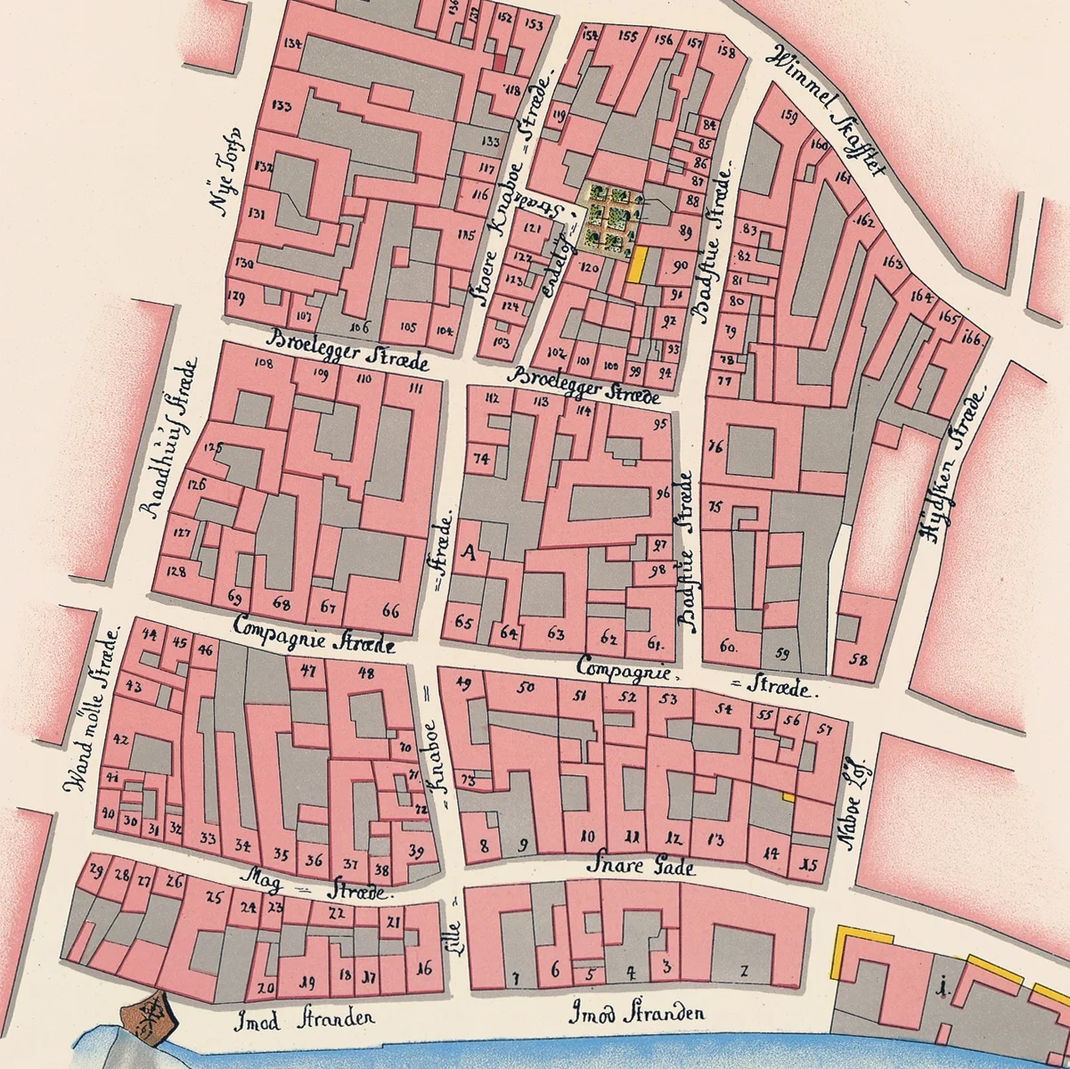
A detail of the map of the city in 1779 shows the north gate at the bottom centre with the defensive walls and outer ditch and to the right the recognisable outline of Rosenborg and its gardens. The bridge over the lake has a gap indicating a draw bridge and the main road north follows the line of the present Nørrebrogade.

The buildings of Blågård are in the centre towards the top, on the left of the road, with formal gardens and two square ponds towards the lake and a semi-circular terrace and then presumably further gardens (the site of the present square) running across to a stream or ditch, that was a boundary following what is now Åboulevard which still has that distinctive curve.

In 1780 the buildings, by then enclosing a courtyard, were converted to a clothing factory and then in 1791 the property became a teacher training institute. It was used as a hospital during the bombardment of Copenhagen by the English in 1807 and then in 1828 it became Nørrebro’s first theatre. The house was destroyed by a fire in 1833 and it was after that that the area became more densely built over. 

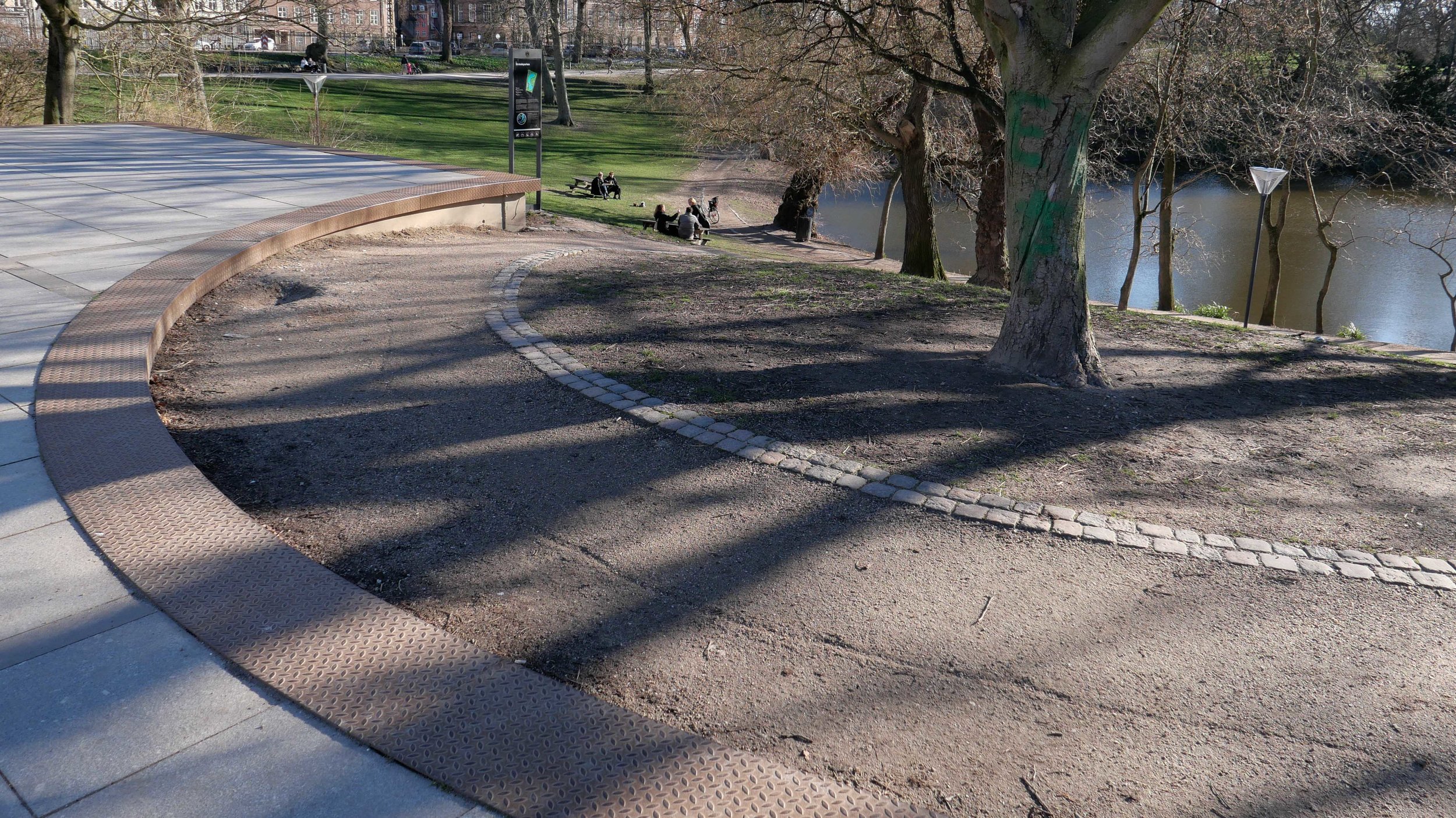
Even as late as the 1850s there were very few buildings along the shore of the lake or along the river that formed the boundary between this land and what is now Åboulevard then called Aavein Aagade on one side of the river and Ladegaards Veien on the far side.

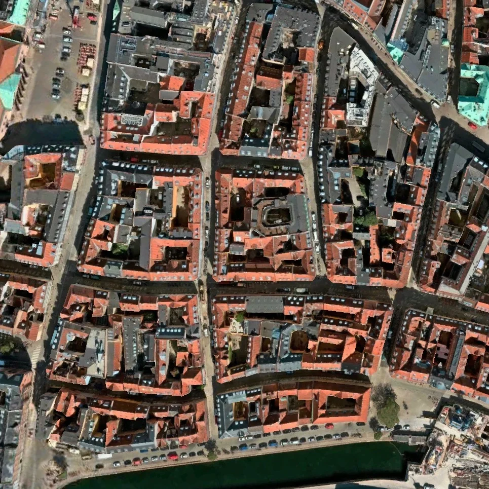
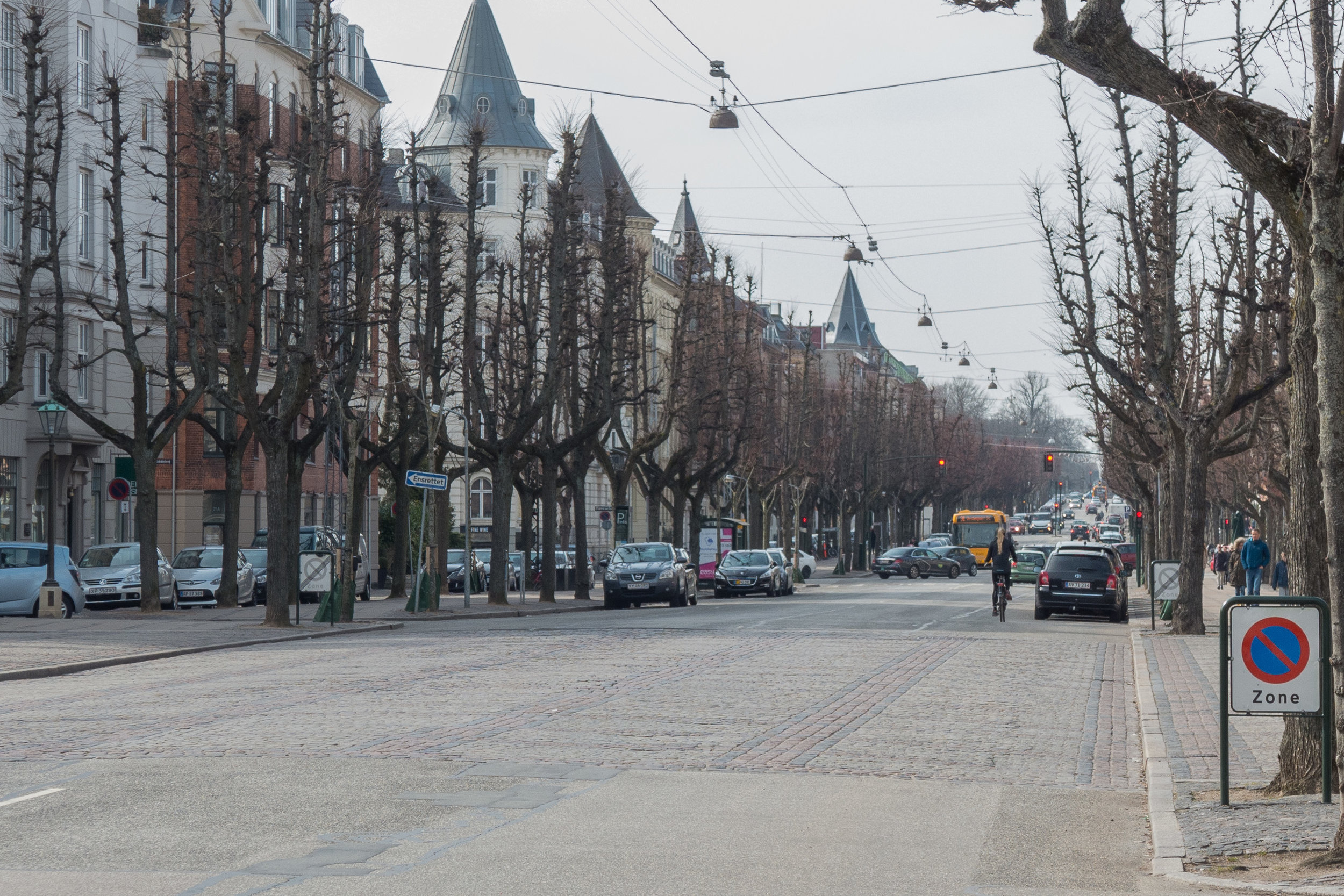
A map of 1860 shows that by then the much more urban grid of roads had been laid out although there were detached houses along the lake side of Blaagaards Hoved Gd (Blågårds Gade) set back from the road with front gardens rather than the continuous line of apartment blocks now. Building work and the infill of empty or garden plots was then rapid and by the time of the map of 1886 the area was densely covered with buildings.

By the beginning of the 20th century this was one of the poorest working-class areas of the city so there had been quite a transformation from the royal manor house and gardens 200 years earlier.

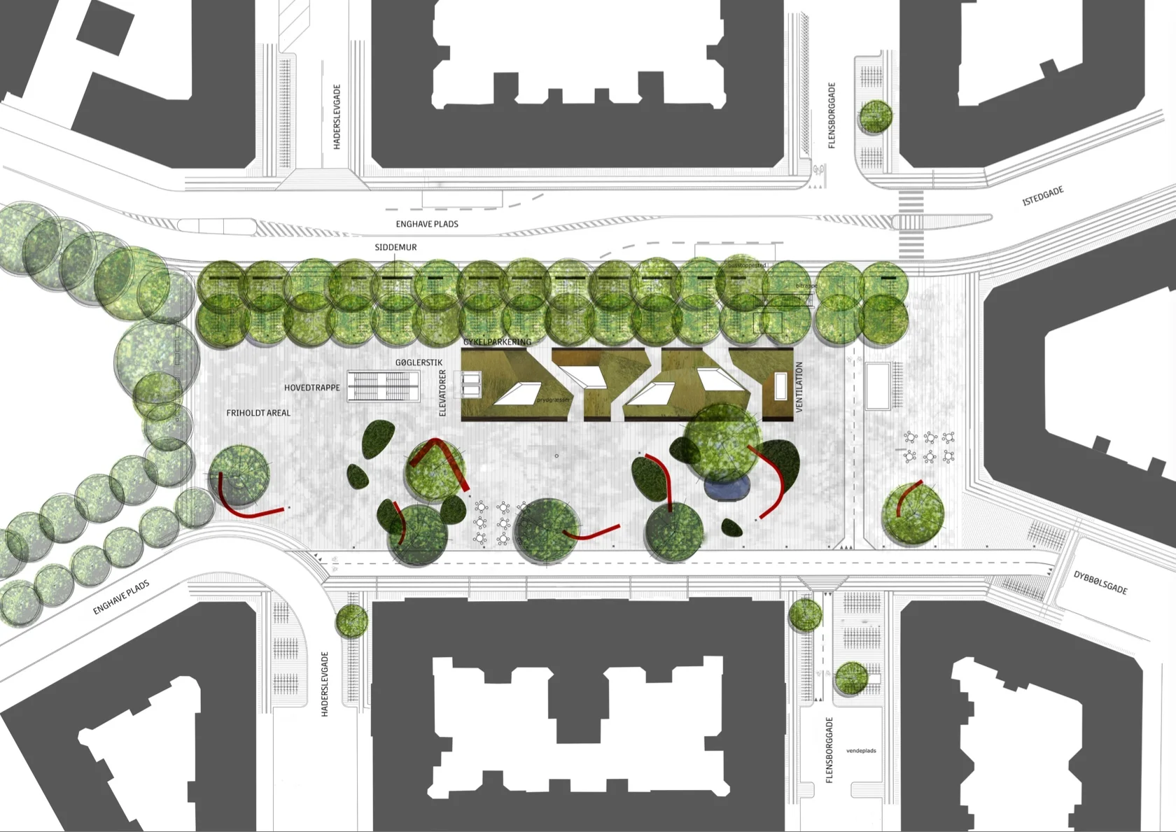
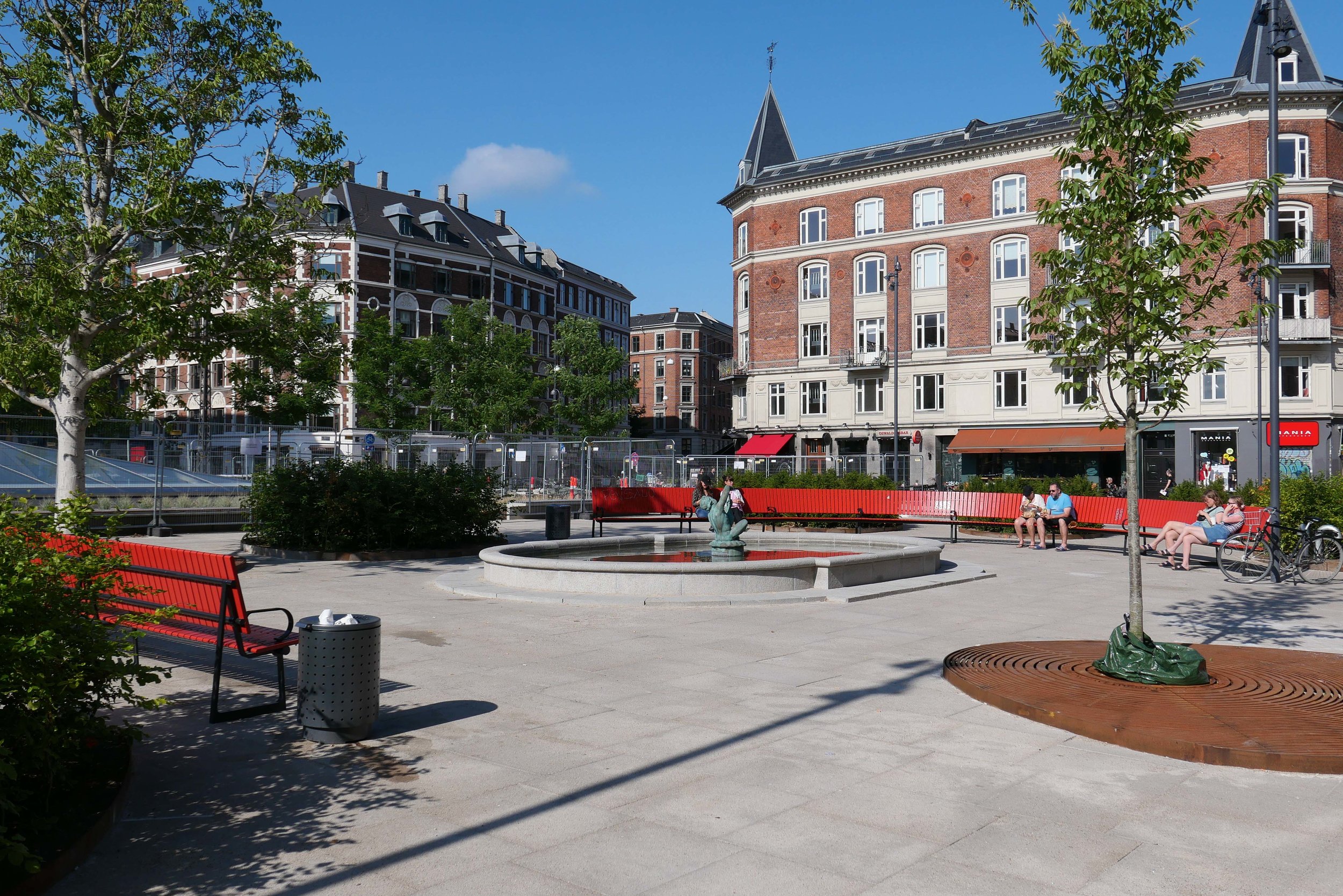
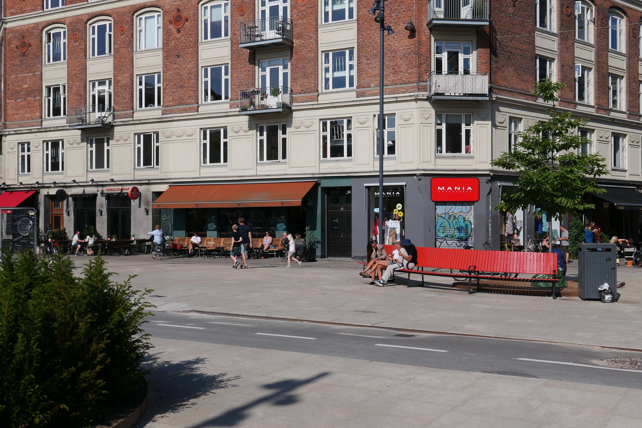
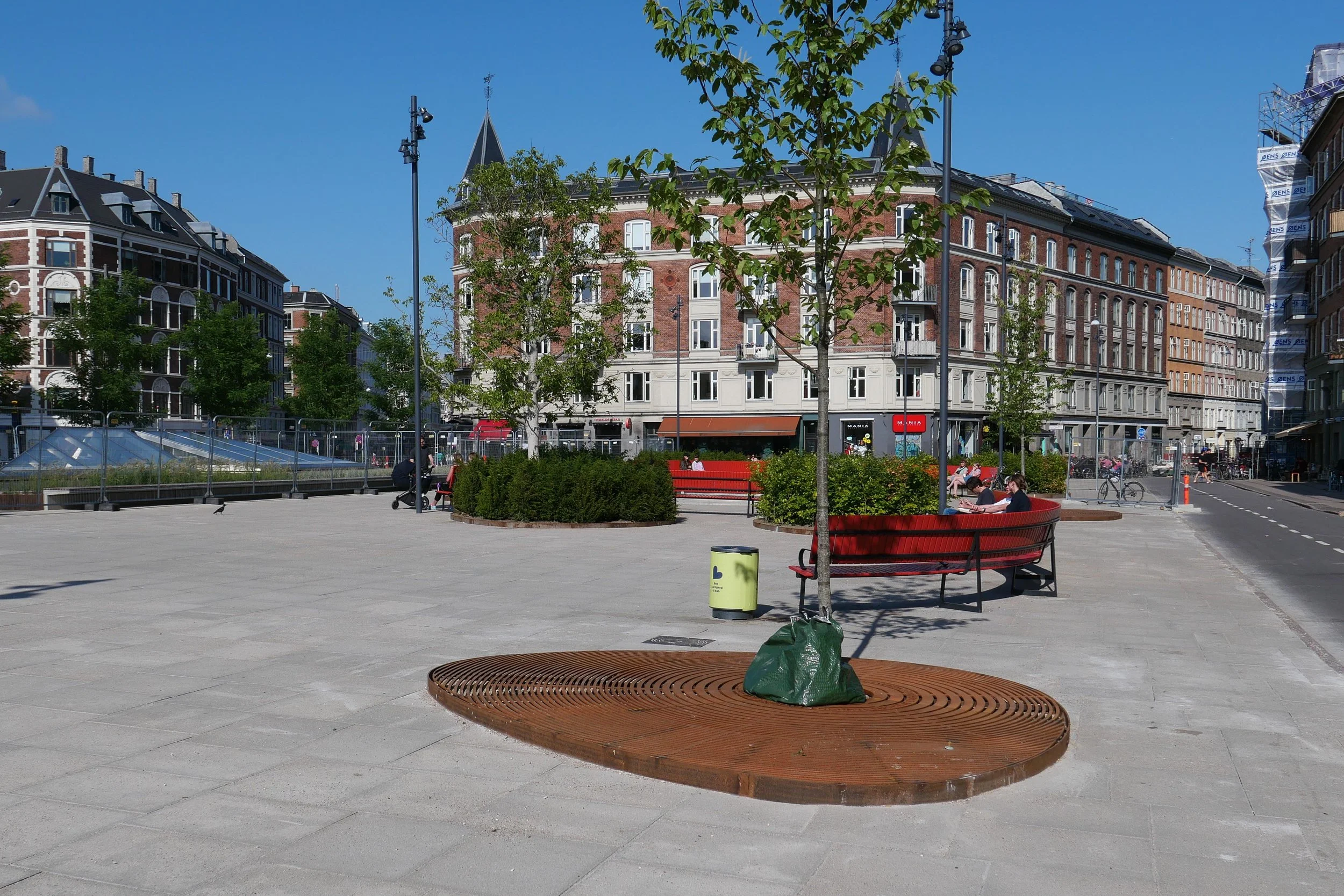
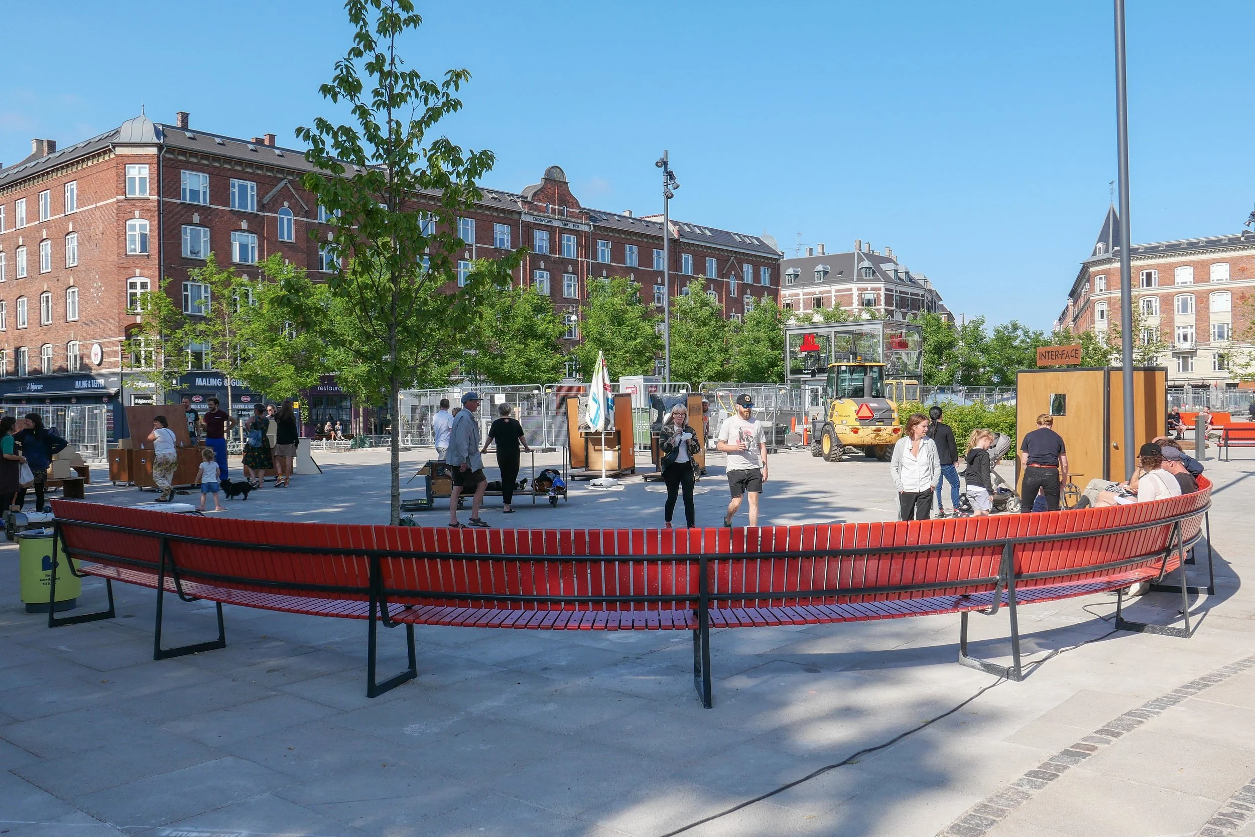
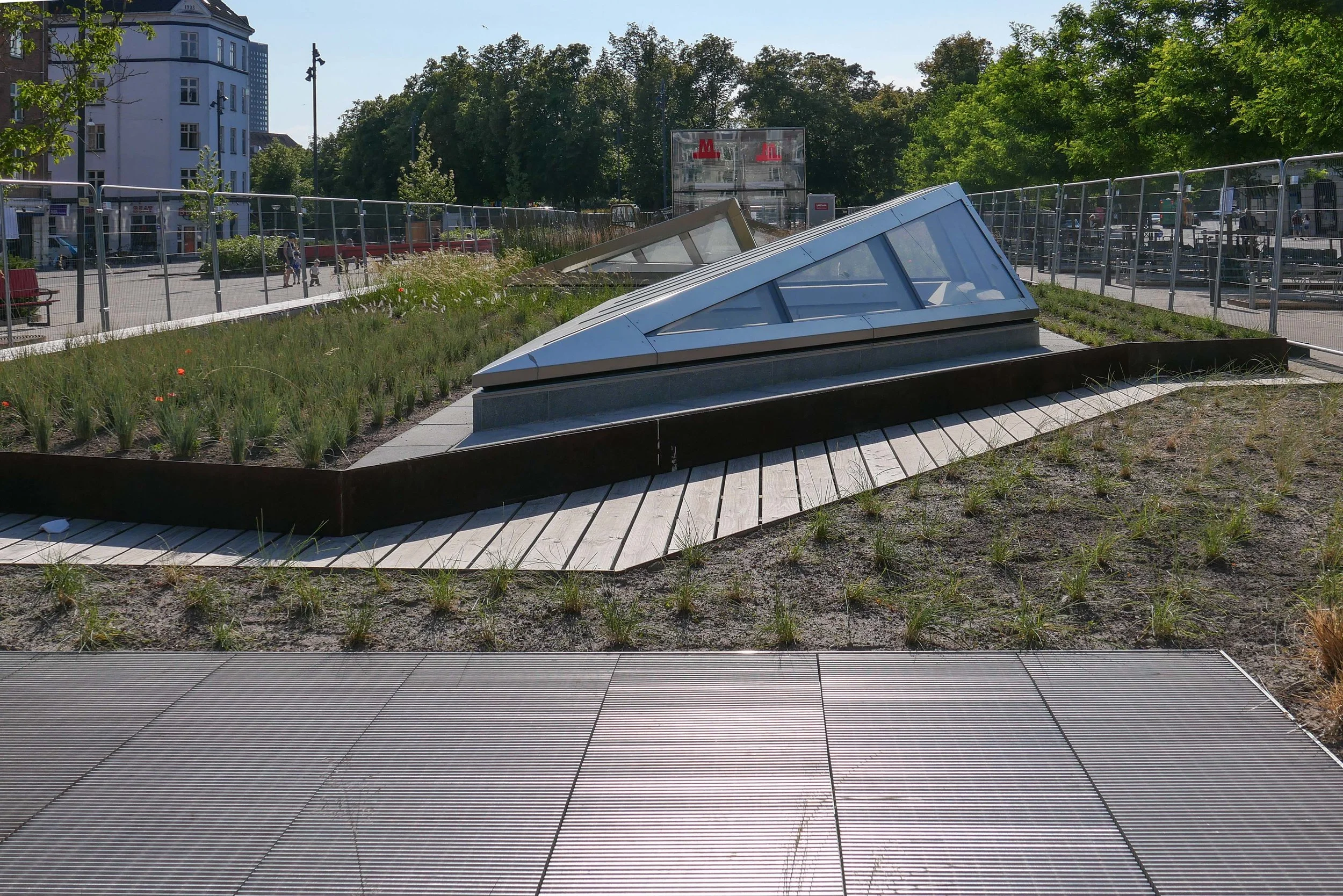
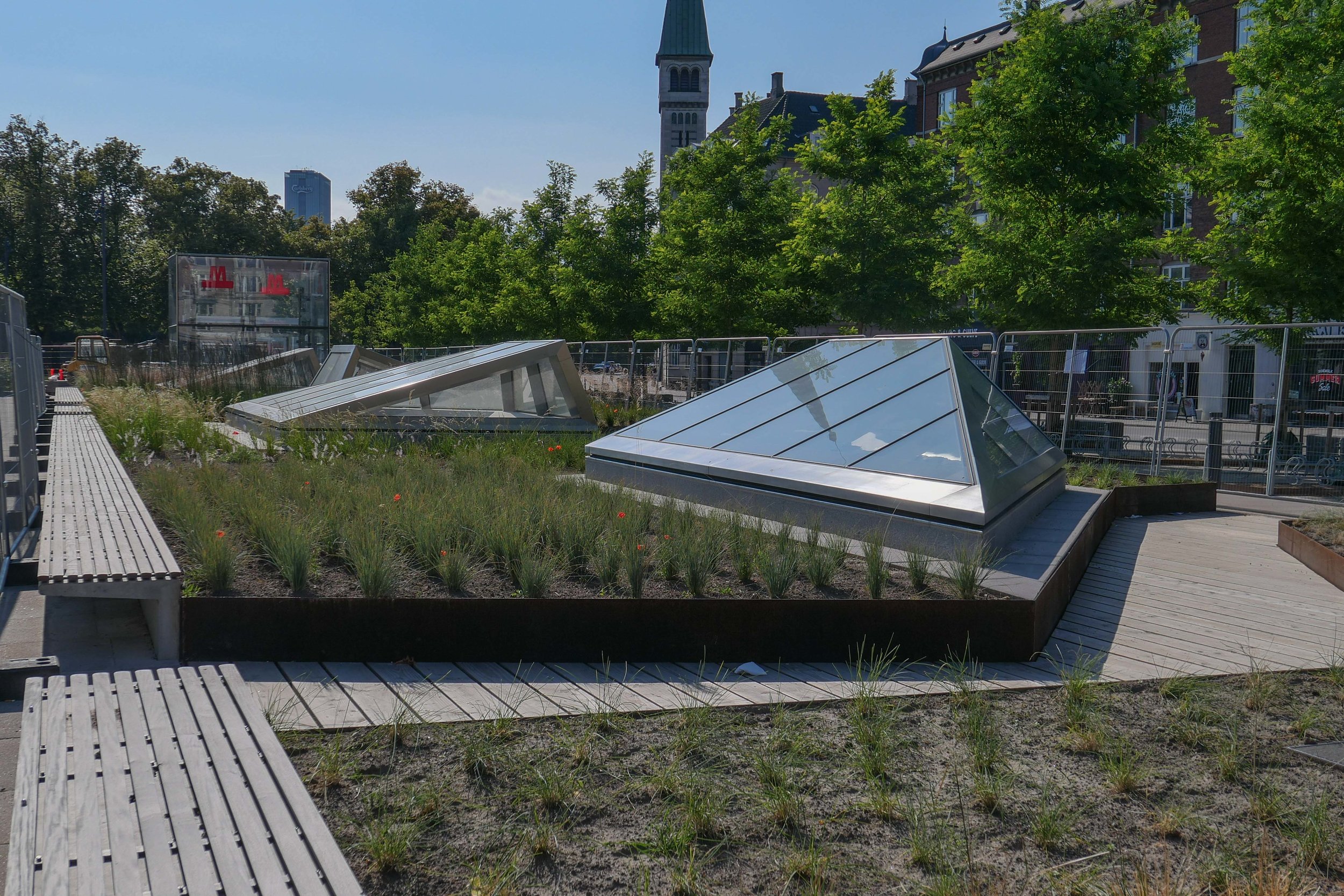
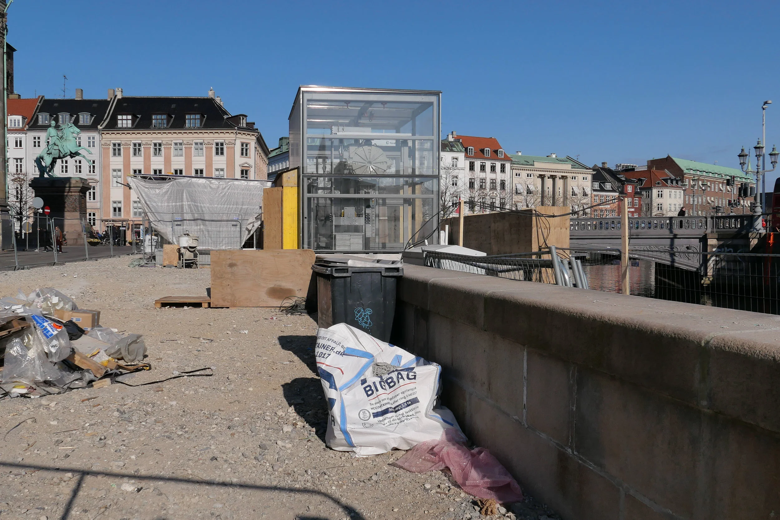
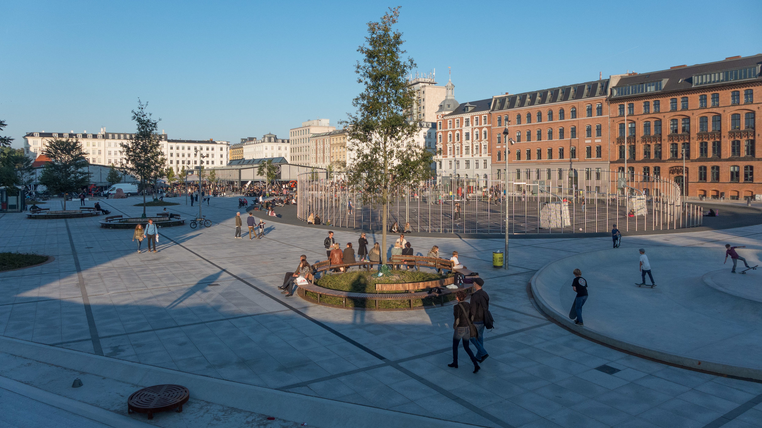
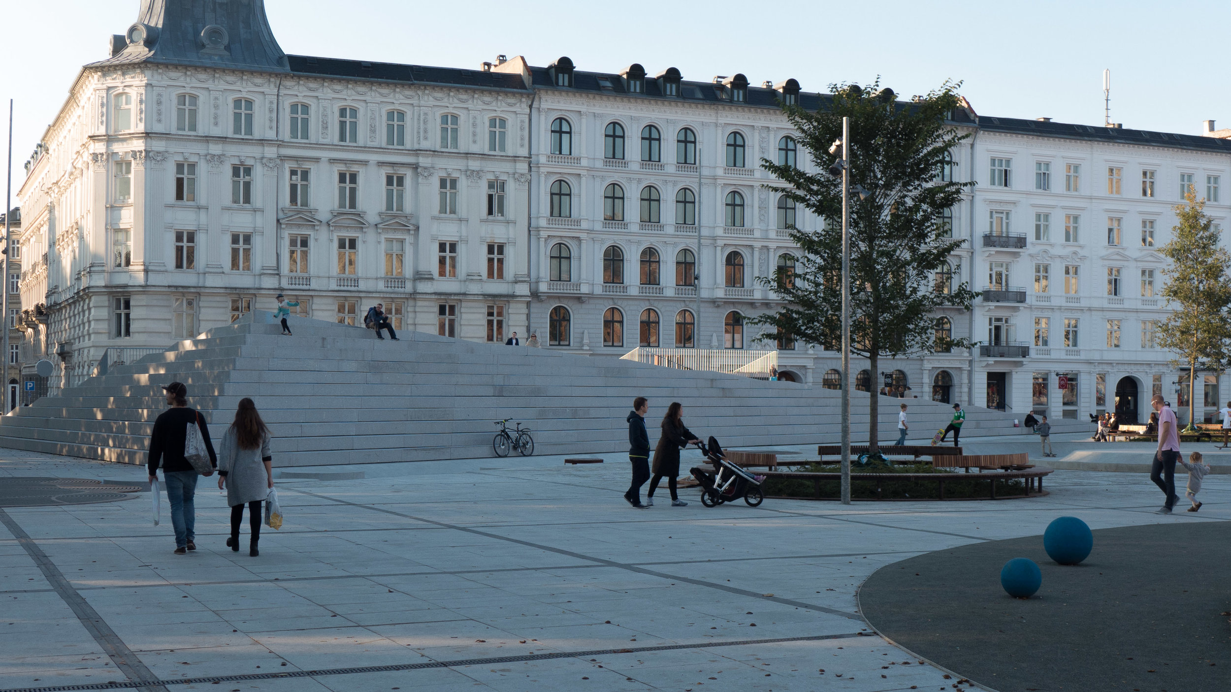
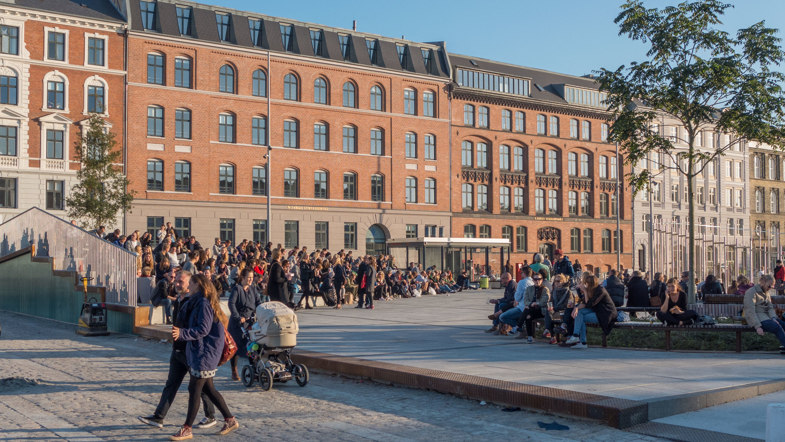
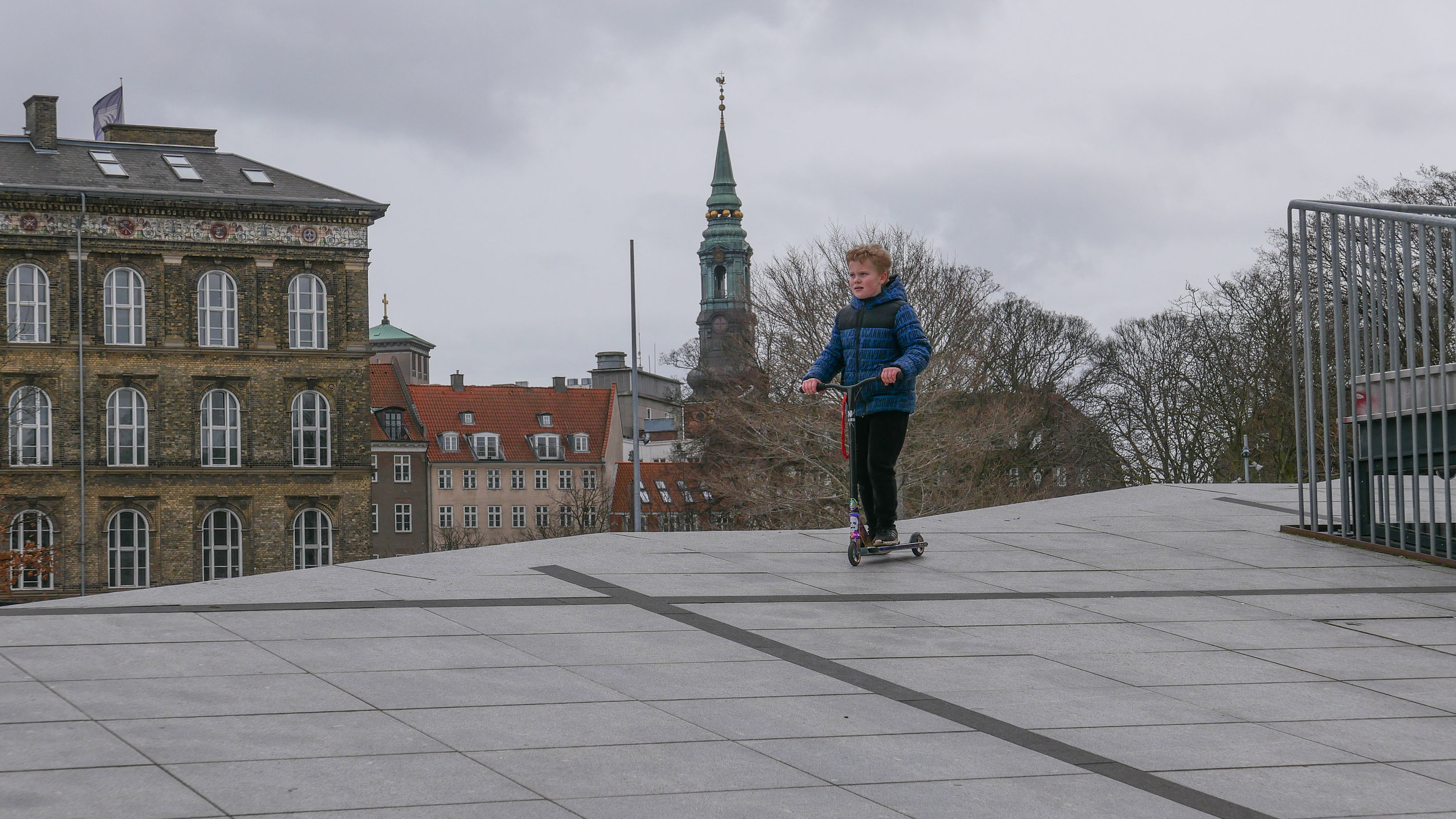
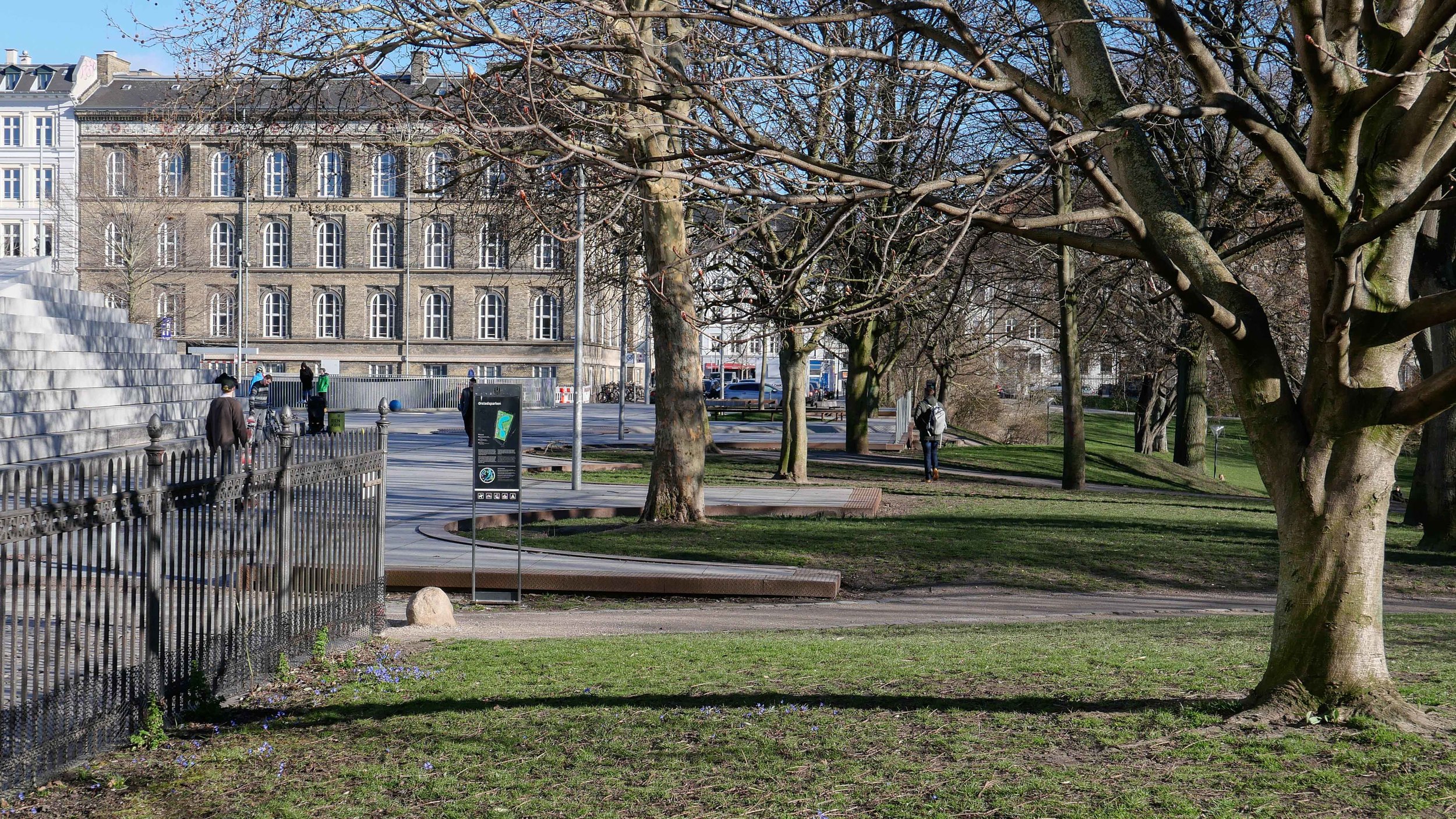
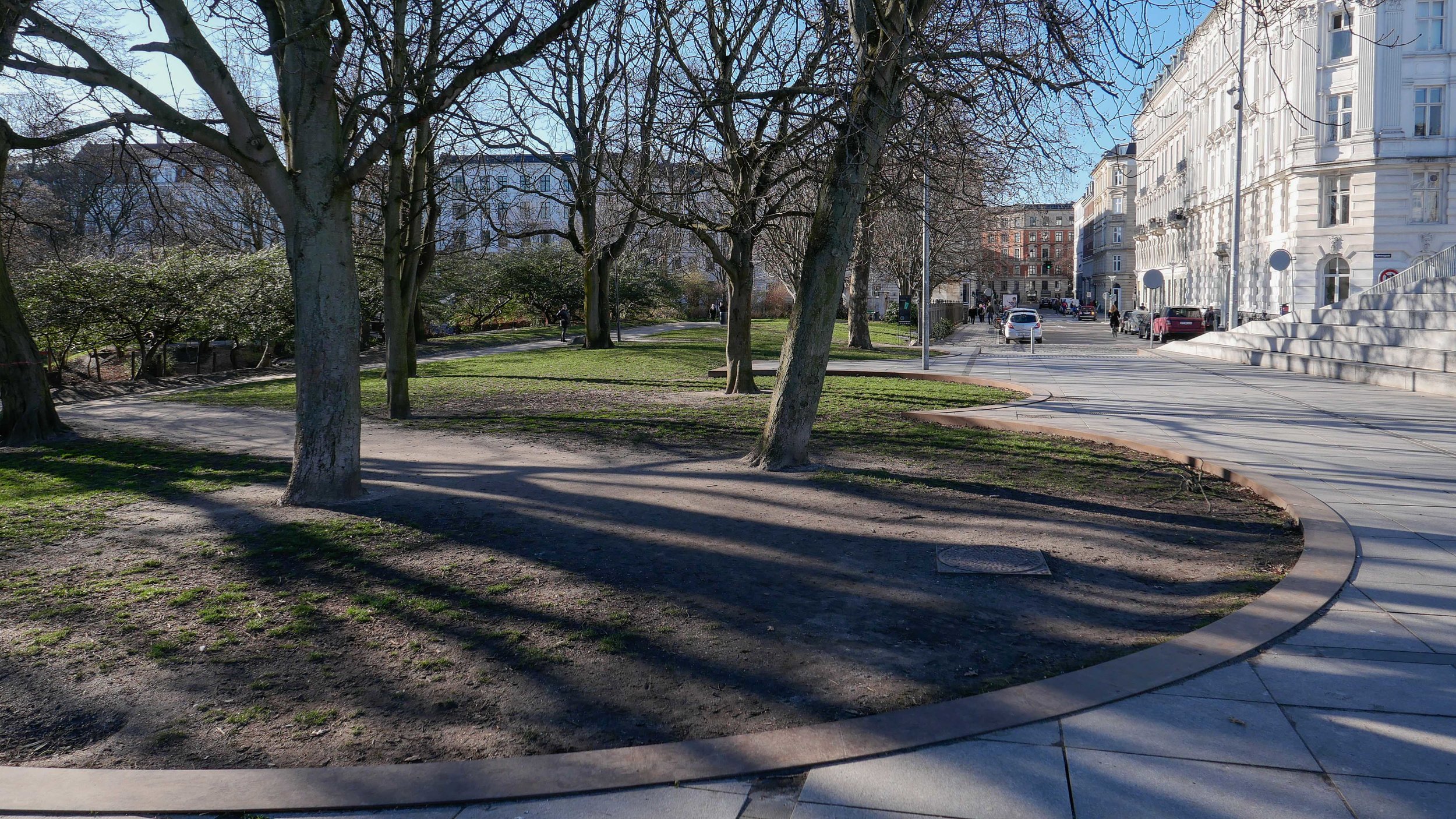
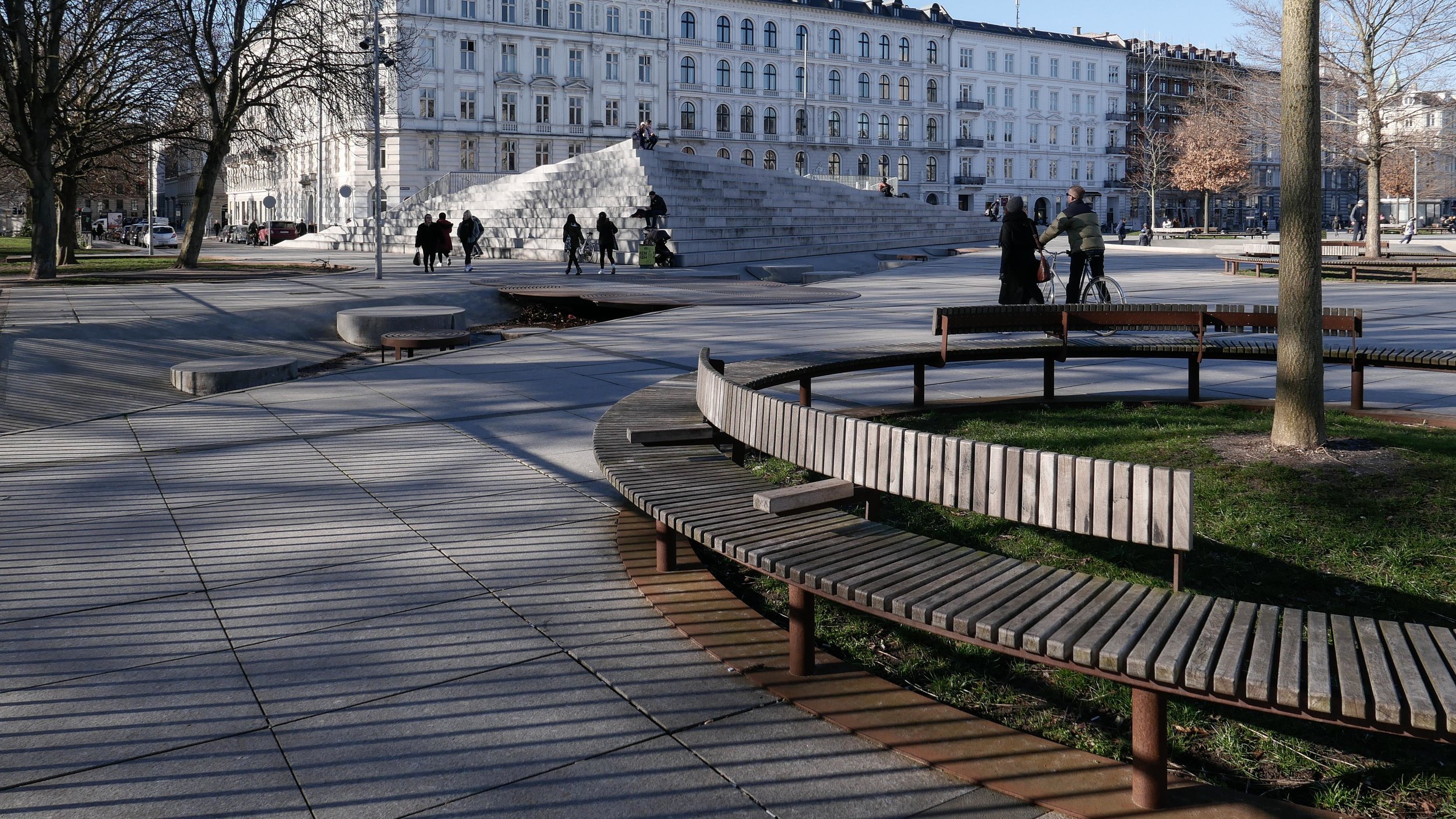
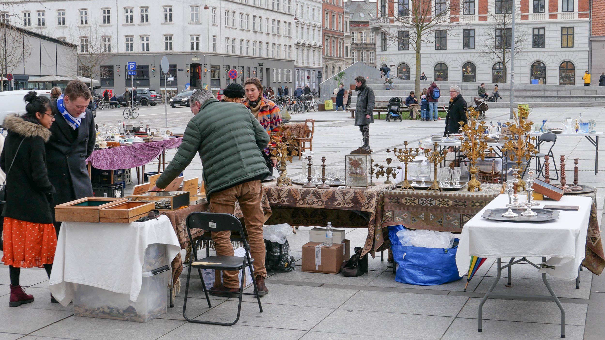
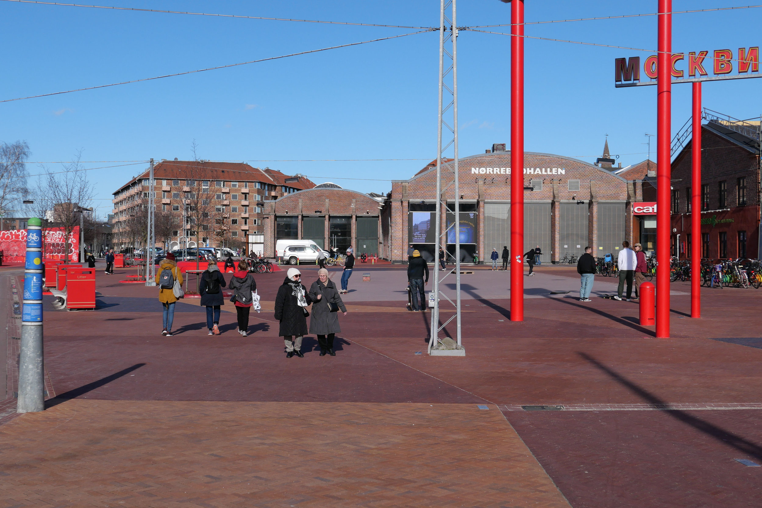
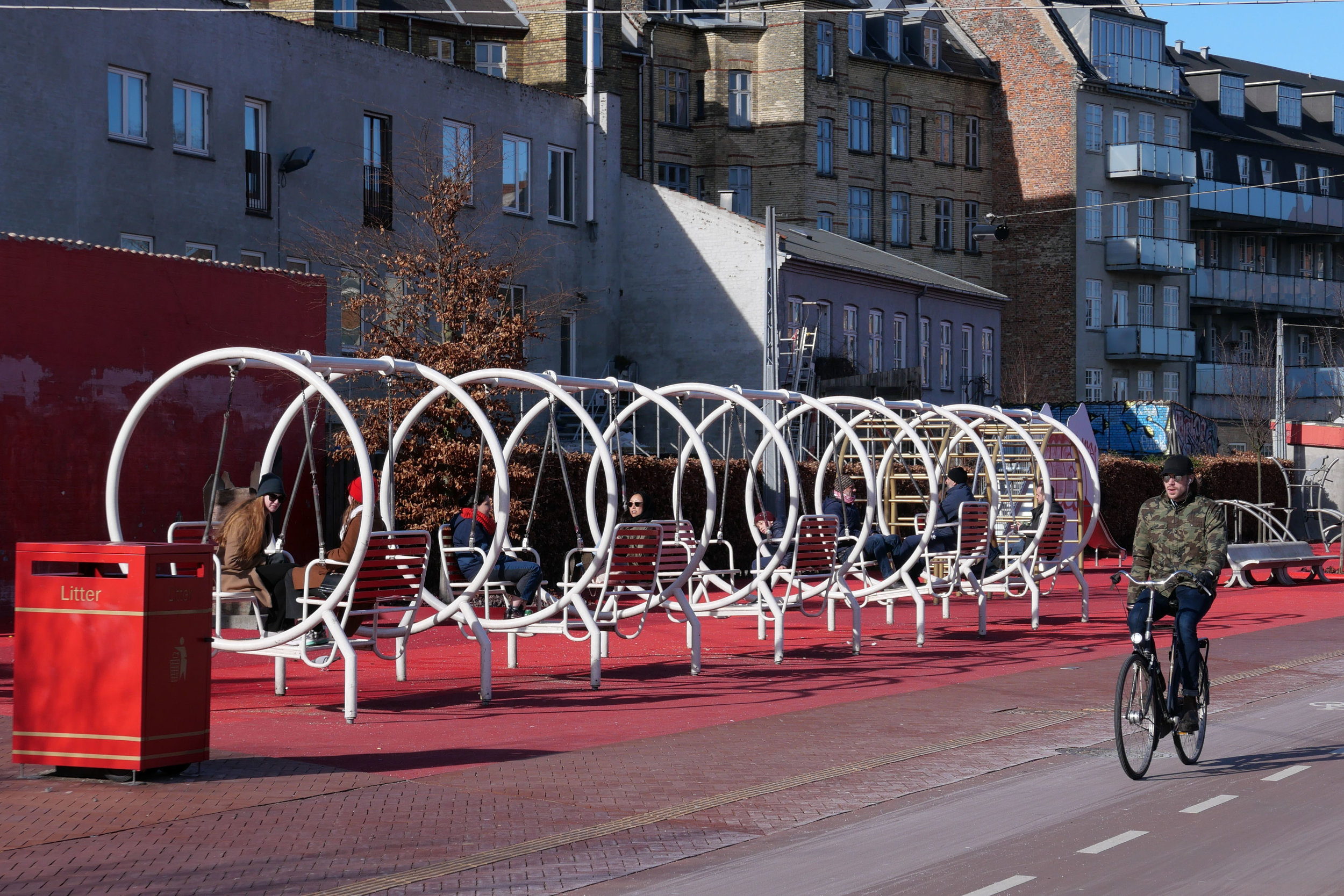
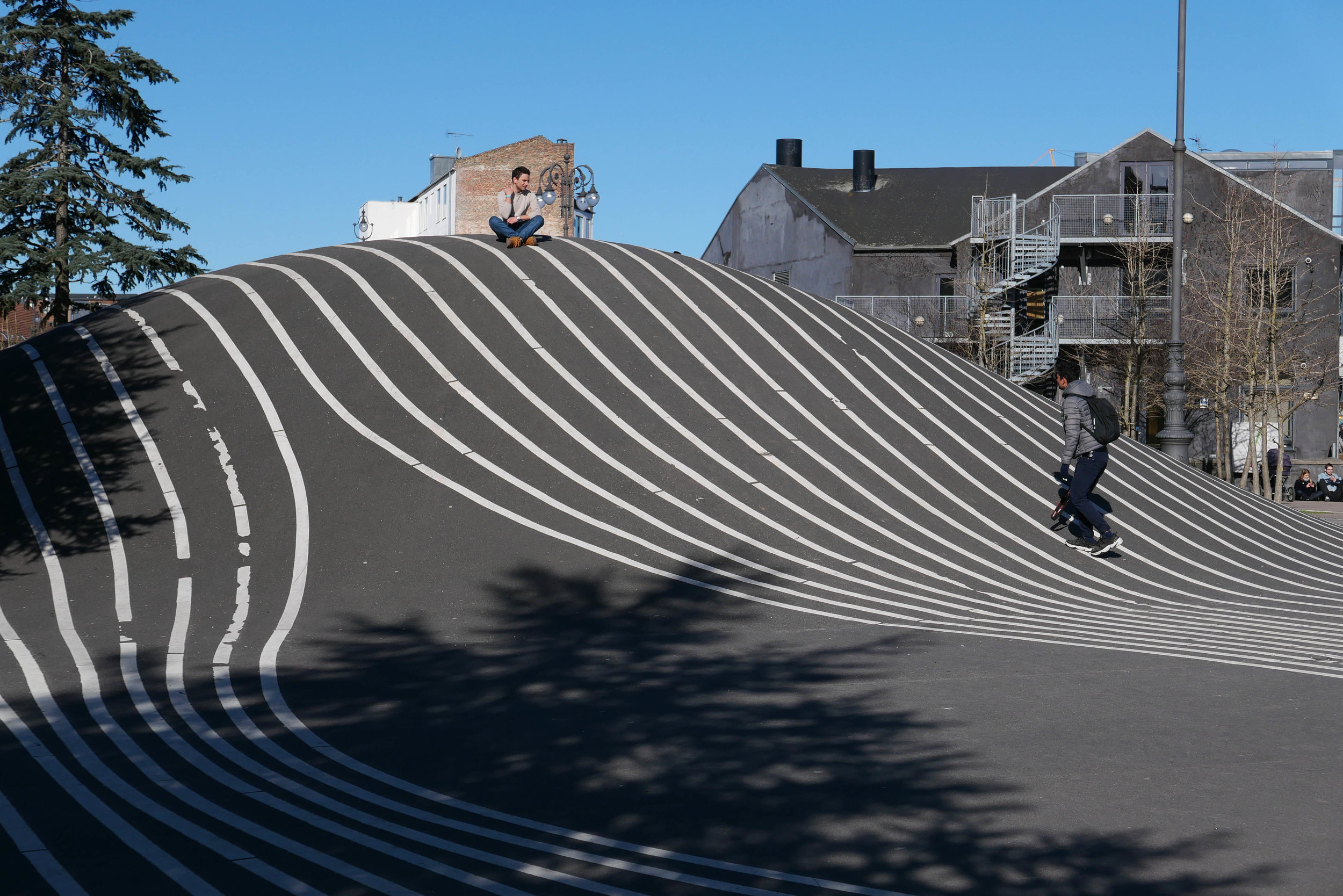
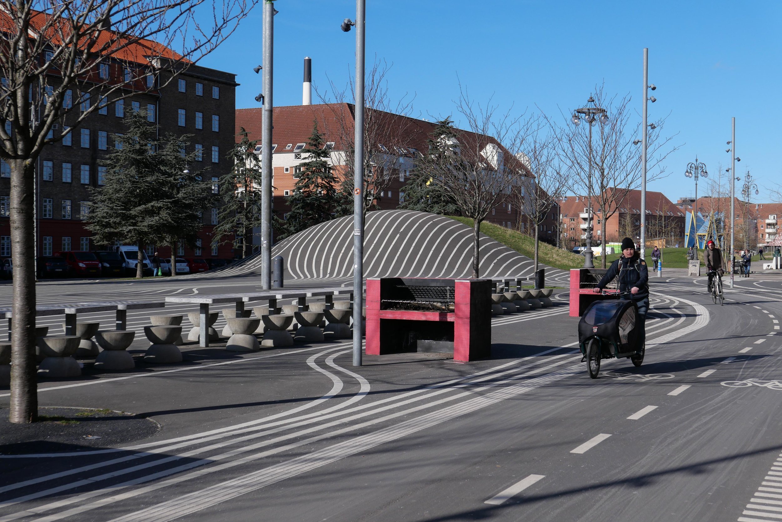
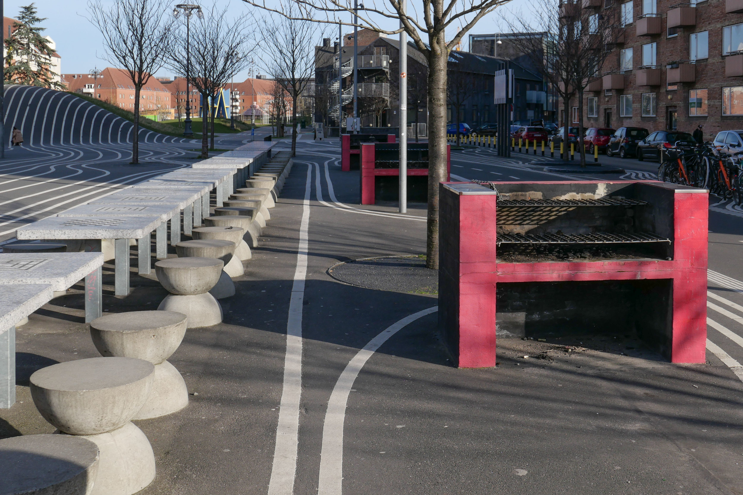
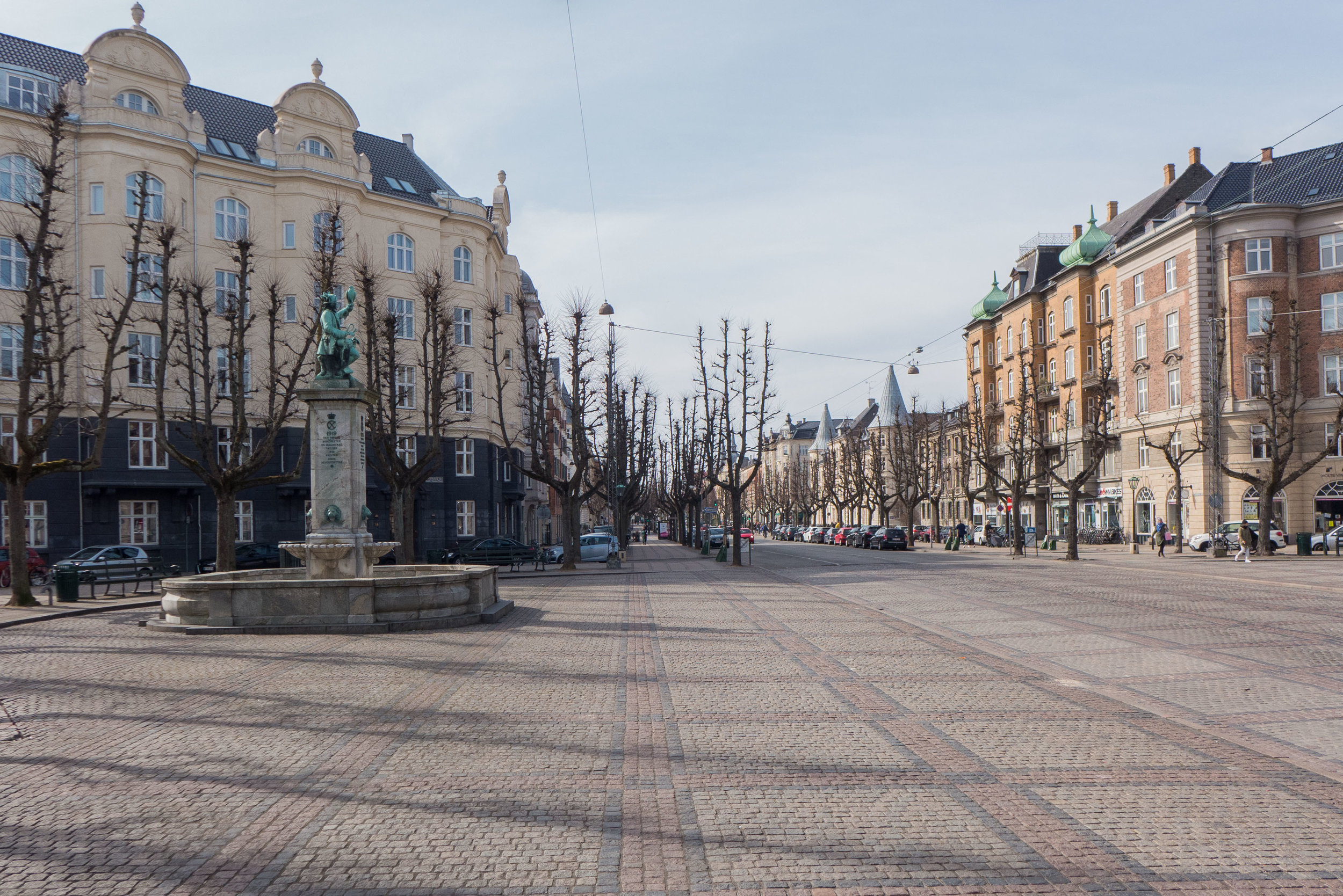
The creation of Blågårds Plads around 1912 was actually a major decision in terms of city planning because a whole block of commercial buildings were demolished to create the large open space. The square is open to Blågårdsgade that forms the south-east side of the square and the square runs back just over 100 metres from the street and is just under 70 metres wide. On the north-east side there is a small secondary open space 11 metres wise and extending back 23 metres to the entrance front of the church that is now a concert hall.

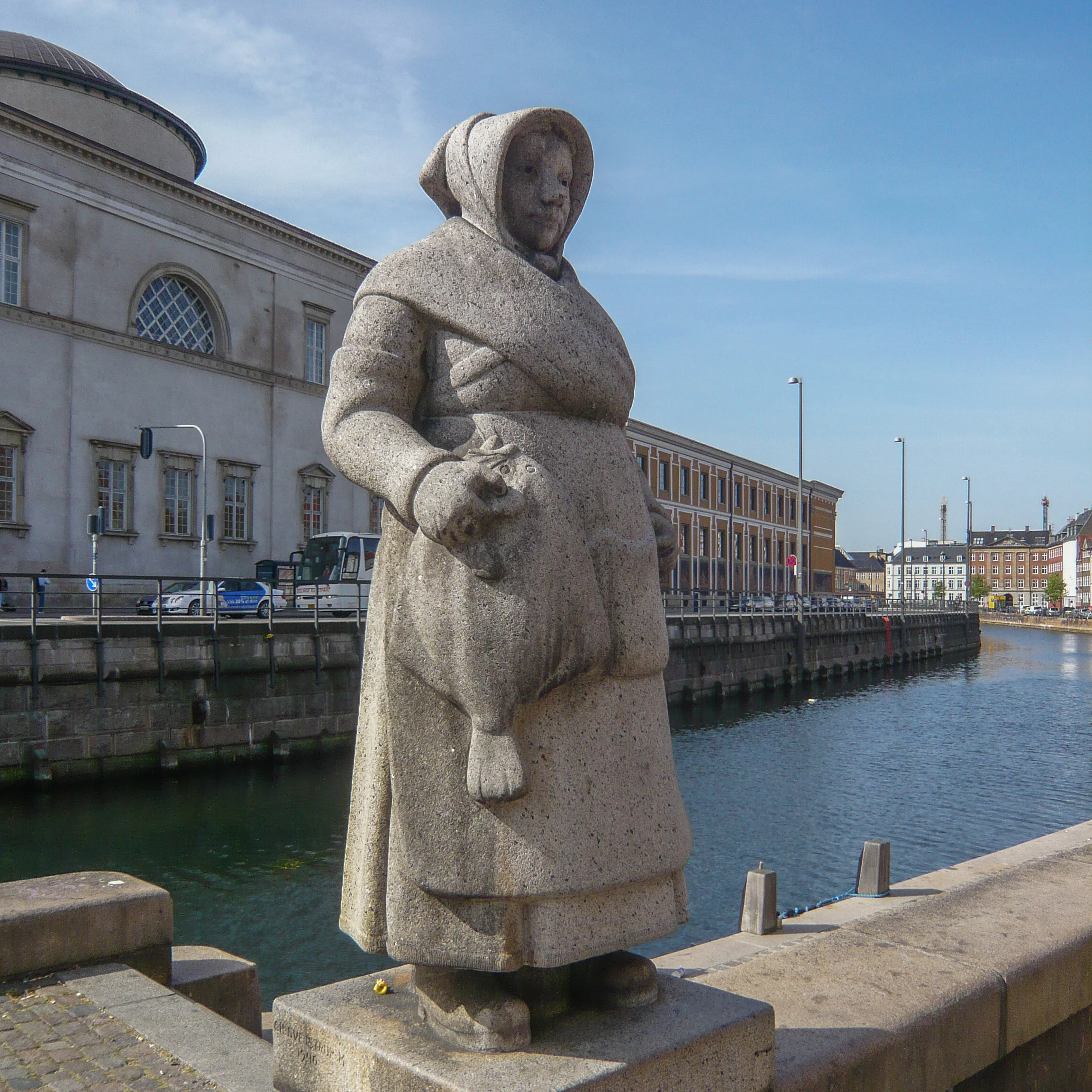
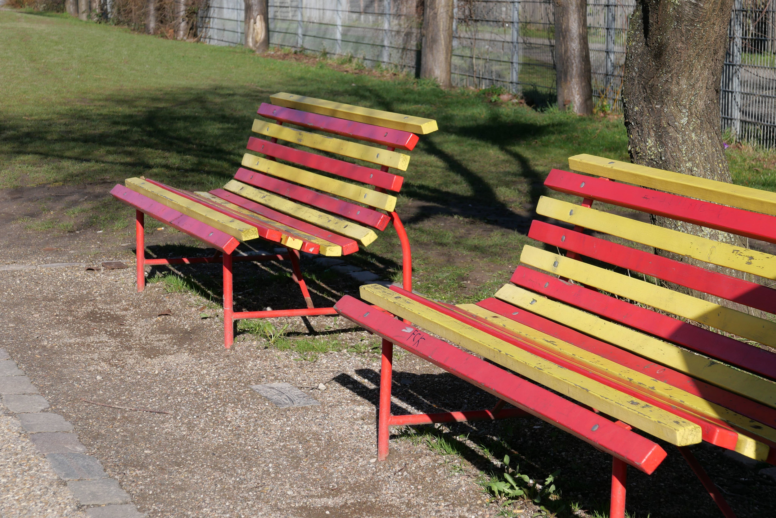
The centre of the main square is lower and surrounded by a parapet wall marking an area approximately 47 metres long and 28 metres. The wall and the steps down to the lower area are decorated with an amazing set of stone figures of adults and children by the Danish sculptor Kai Nielsen.

Presumably the demolition of houses and industrial buildings to create an open space was controversial when the square was laid out but there were certainly very strong protests in the late 1970s when properties were cleared and the library on the side opposite the church and new apartments and courtyards at the back of the square were built. Criticism of the scheme were, apparently, so strong at the time that the city authorities resolved to make public consultations a more significant stage of the planning process for any future redevelopment.

Why so much history on a site about modern architecture and modern design?

Without doubt people like history … otherwise why so many costume dramas on films or TV … and it is important to have a sense of place and a sense of context if it helps people avoid a sense of alienation or isolation.

Even if we live for the present and focus on the future, the roads we walk up and down and the buildings we live in and use all have a context. Tangible things like topography, field boundaries, plot boundaries and older buildings that have to be kept for some reason and less clear influences such as politics or the economic situation all have an effect on what can be built or rebuilt.

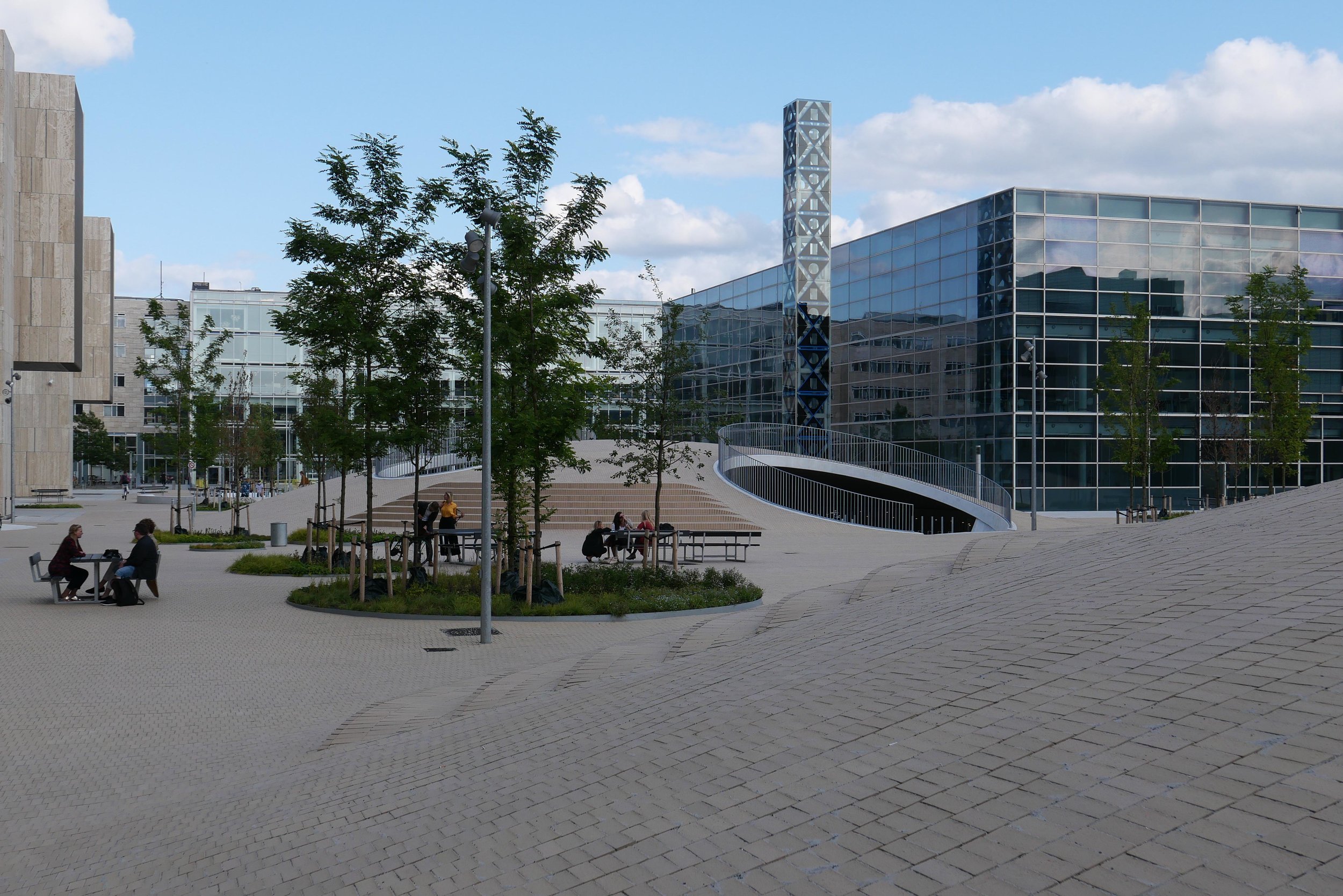
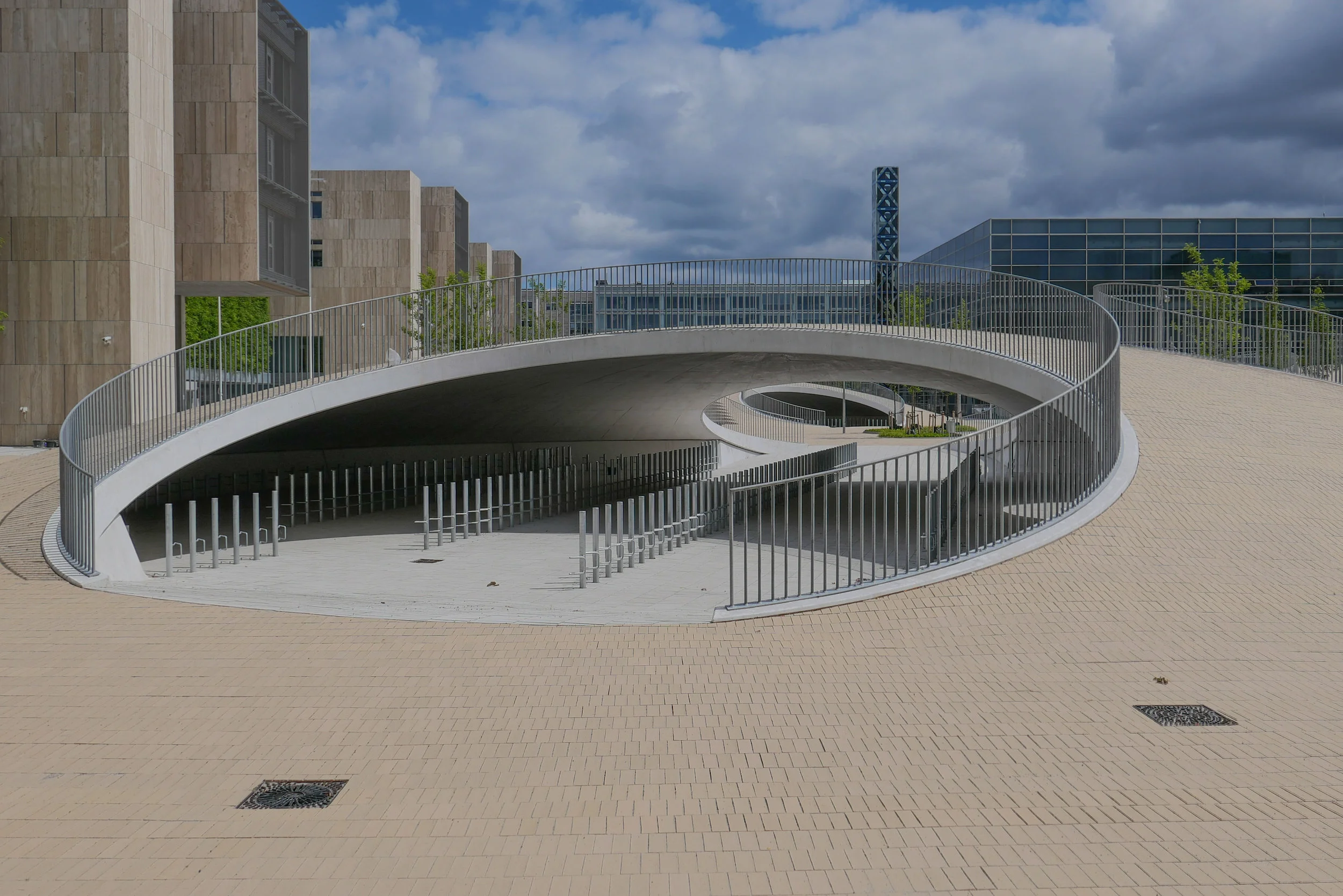
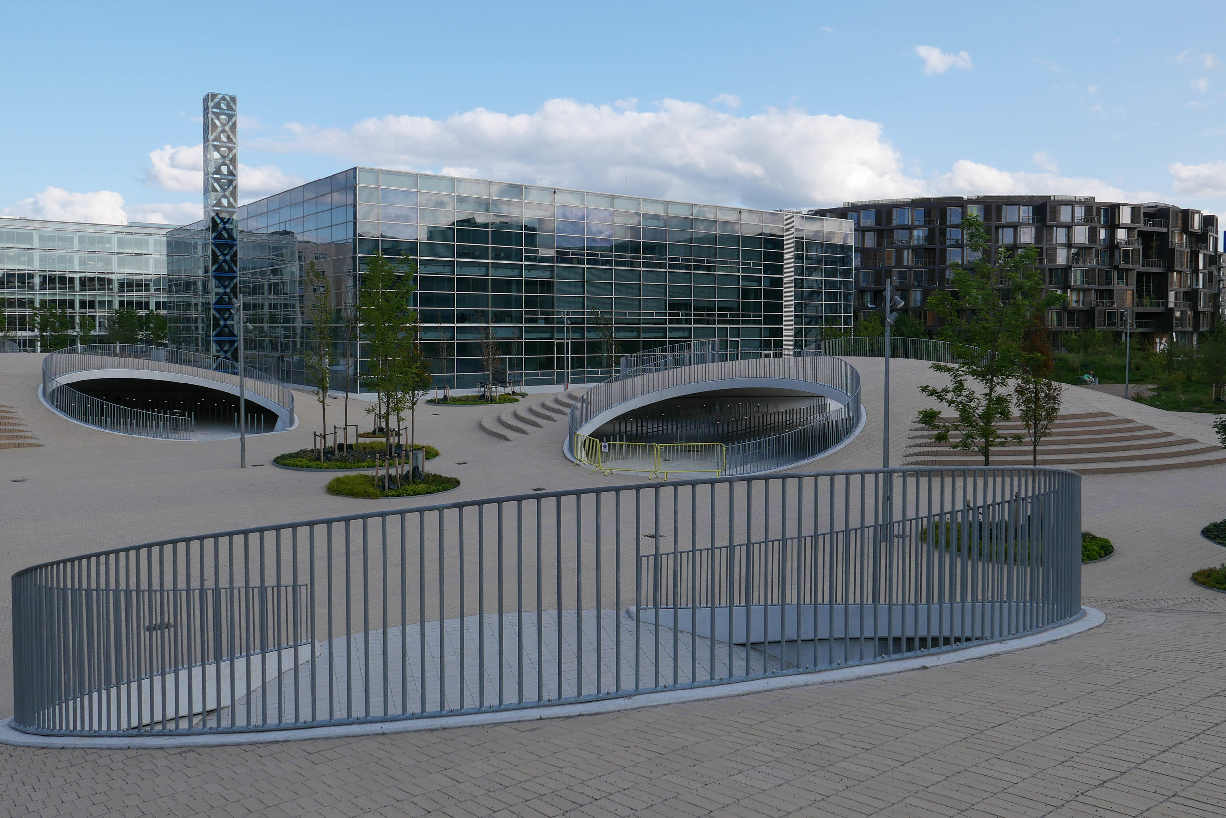
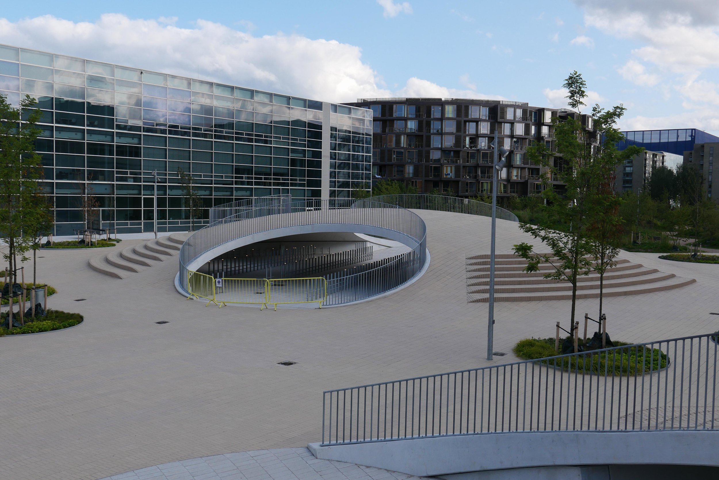
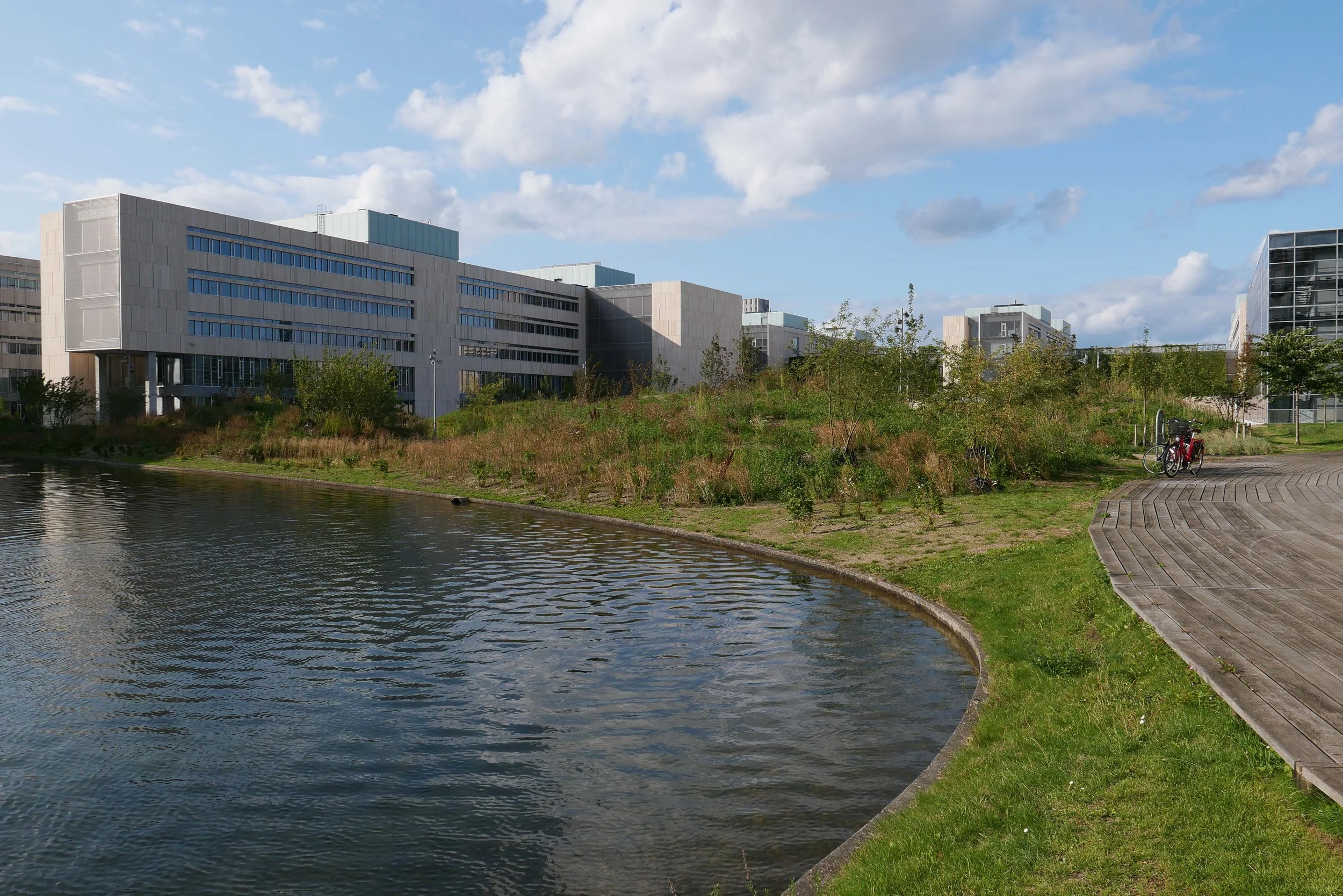
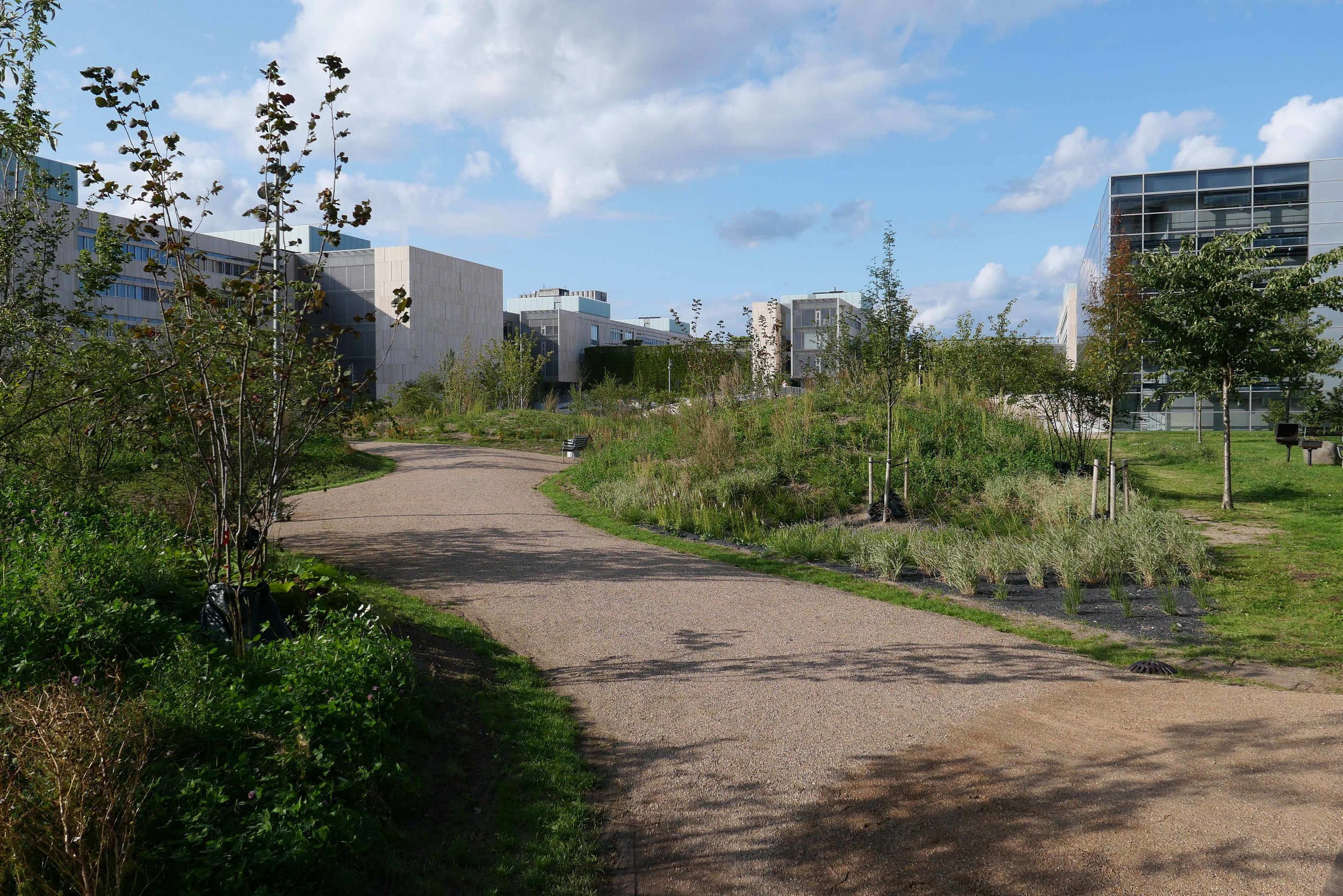
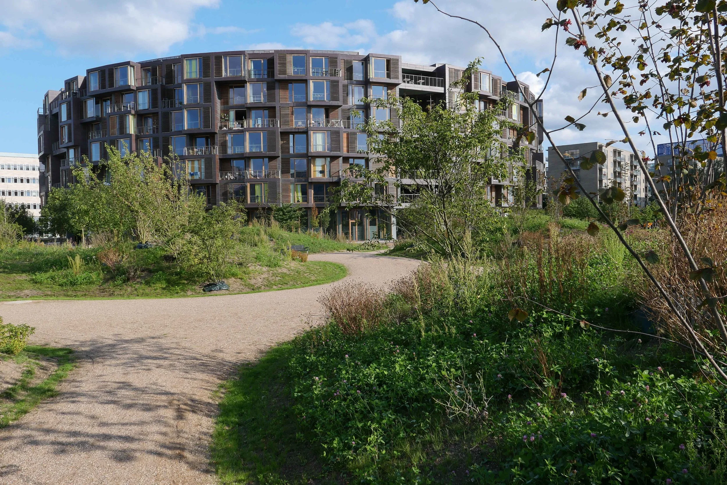
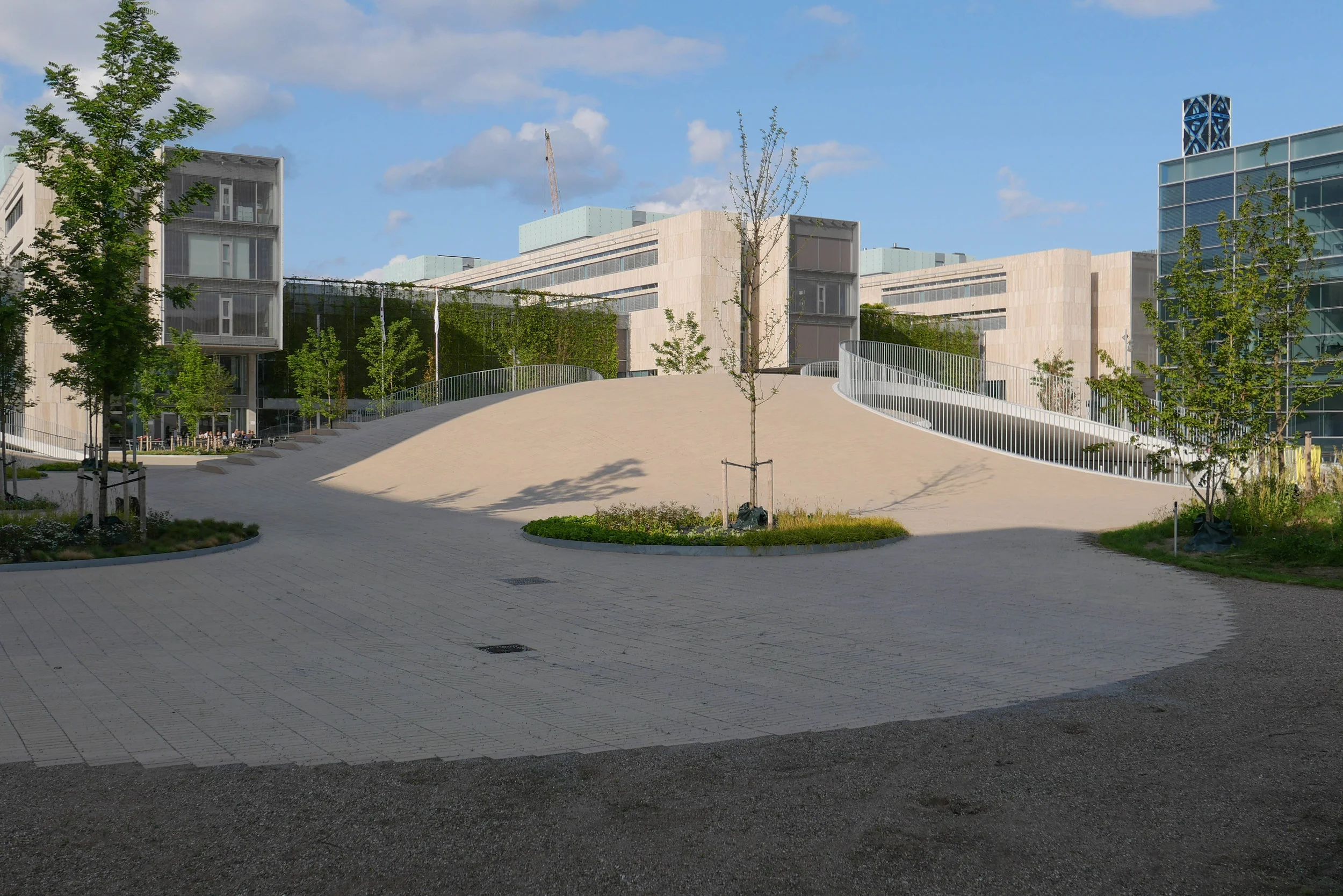
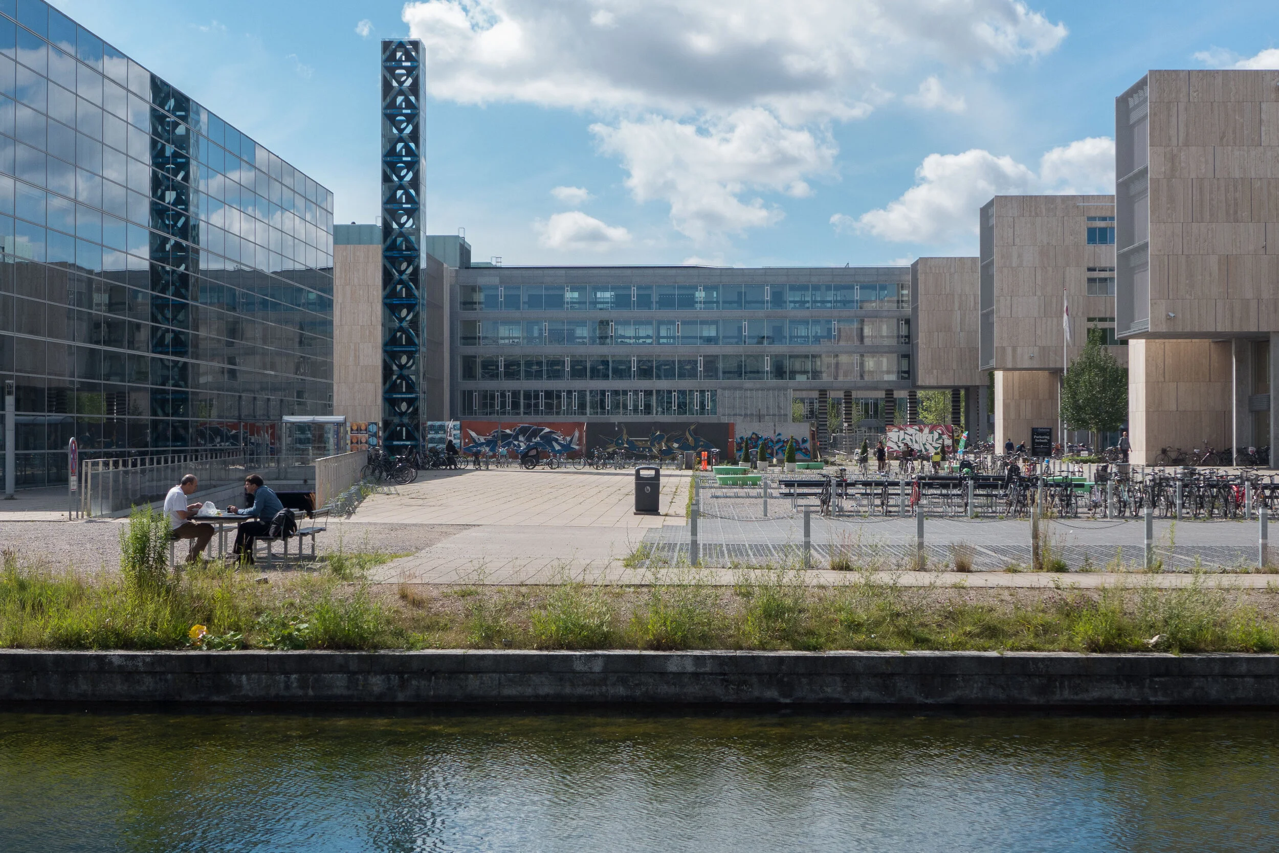
What is interesting about Blågårds Plads, and also of course the building work in the 1880s and 1890s in Copenhagen as the city expanded rapidly, is that actually it is remarkably similar to our own period, the first and second decades of this century, as a phenomenal number of new apartment buildings are constructed along the harbour to the north and south and across Amager in Islands Brygge and Ørestad.

The streets around Blågårds Plads went from a slightly untidy and piecemeal growth of houses and commercial properties with lots of gardens and open spaces in 1870 to one of the most deprived and densely packed areas of Copenhagen just 30 years later.

What was the problem with those buildings when so many apartments of the same period in other areas of the city survive and are popular places to live? 

If there was criticism of the demolition of those apartments around Blågårds Plads in the 1980s was that simply fear of change? The buildings new then are now in their turn 30 years old and seem to be pleasant and well laid out with good courtyards and more open space but I noticed that they are not brick-built as they appear to be but, looking at the corners of the blocks, these seem to be pre-formed brick-faced panels on a steel frame. What was the life span of this housing that was planned in 1980 and are they a success for the residents and the community here?

Of course, no urban planner can prepare for anything and everything that the future might dump on us but even if this is the great period of recycling we should try not to recycle old problems.

the sculptures of Blågårds Plads