Jægersborggade

With overcrowding in the old cemeteries in the city, a new cemetery, Assistens Kirkegård, opened in 1760 on open fields beyond the lakes.

Jagtvej, a main road running eat west across the outer side of the cemetry was by then well established as a way from Frederiksberg to the coast road - the first outer ring road? - but historic maps show that the area beyond the road was still small open fields well into the 19th century.

Bjelkes Allé, immediately to the east of Jægersborggade was laid out in the 1870s with houses on both sides. A map of 1880 shows what is now Husumgade, to the east of Bjelkes Allé, as a double line of dots down the centre of the field so, presumably, work was about to start on building that street and by 1890 maps are showing buildings on either side of what was then the new street of Jægersborggade in the field to the west of Bjelkes Allé.

One history of Jægersborggade suggests that, by 1900, all the apartment buildings had been finished and that there were as many as 700 apartments on the street.

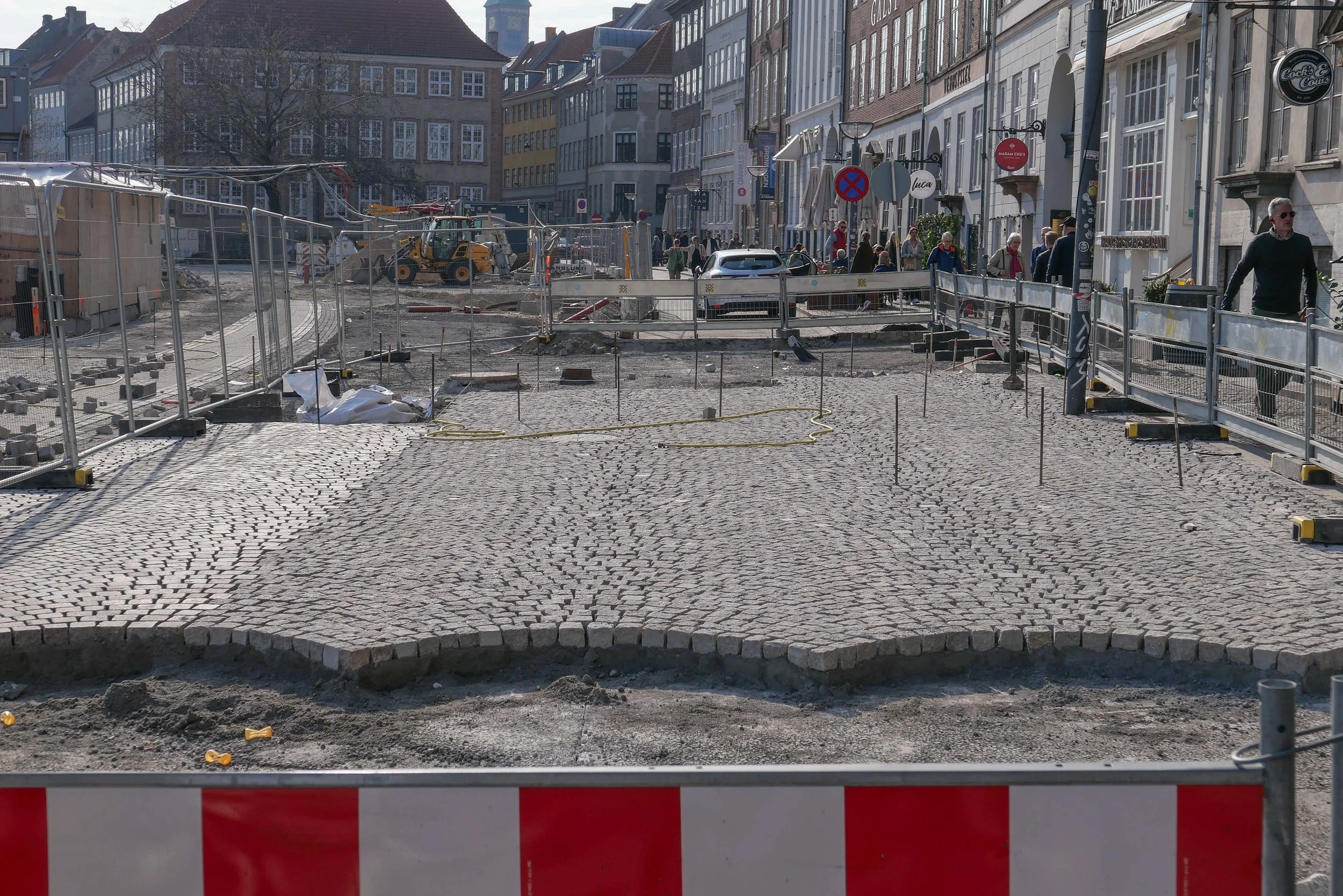
If you compare the architecture here to buildings on Bredgade or Amaliegade in Frederiksstaden, the new area that was laid out beyond Kongens Nytorv in the late 17th and 18th centuries, or the buildings around the Kings Garden, I cannot claim that the buildings of Jægersborggade are the most significant architecture in the city, but, they are one of the best and the most attractive streets of apartments for artisans and lower middle-class families and the present success of the street, with its attractive shops and restaurants, is a success story that reinforces the value of renovation way and beyond anything to be gained from demolition and redevelopment.

shopping in Jægersborggade December 2018


detail of the land inspector’s map published by Hoffensberg & Trap in 1880

maps of circa 1890 show Jægersborggade but this map shows field plots and buildings in more detail and is of interest because it shows the first suburban railway line that came across the lakes from the central station - then on the north side of Vesterbrogade - and curved in an arc first to the west and then across the north side of the city to join the coast line that started from Østerport

where the railway cut across all field boundaries, generally, new residential roads were laid out down the centre of a narrow plot and different builders then built on the divisions …. explaining why adjoining buildings could be in such different styles with variations in plan and, even, in the social level they were aiming at.

the map shows that in 1880 there was no station at Stefansgade - the site of the first Nørrebro station. One reason for the importance of Jægersborggade was that when the station opened, the street was a main access. The station and the railway were demolished when the suburban rai line further north was constructed with a new Nørrebro station in its present location


Gammel Strand


the official site for the city Metro has news, general information, drawings and a short description of the new stations along with pdf plans of the area around each station at street level

Work is moving forward fast on the hard landscaping at street level above the new metro station at Gammel Strand … a station on the new circle line that will open later in the summer.

The steps down to the platforms and the glass covered lift tower are in place and setts are now being laid in the traditional scallop pattern across the main area so the new arrangement for this important historic street is becoming clear.

There was consultation with local businesses and local residents. Vehicles will be excluded, apart from deliveries, so the only through traffic will be a new narrow bike lane but with markings showing lanes to cycle in both directions.

The existing road, now being removed, runs parallel to the building frontages with just a narrow pavement so with little space for outside tables and chairs for the restaurants here. With the bike lane set forward closer to and parallel to the canal there should be much more space for people to sit outside and the gentle curve of the bike lane takes that bike traffic along the side of the canal further west rather than running as the road does now through in a straight line to Snaregade.

There will be steps down from the street level of Gammel Strand to a lower canal-side level for access to boats but as a sun trap it will certainly be used by people simply wanting to sit and watch what is happening on the water.


The work at street level around each station is crucial. People will quickly get used to the new arrangements of steps and paved areas and new road alignments and, inevitably, find it difficult to remember what each area looked like before …. particularly as the disruption of major engineering work has meant temporary arrangements and high hoardings around many parts of the city for many years.

The precise arrangement of steps and lifts and the crucial bike stands will be important not just for how each station deals with the numbers of passengers each day - estimates suggest that 18,000 passengers a day will use Gammel Strand - but the planning will determine the way people use the area immediately around each station.

Here at Gammel Strand, many using the Metro will be heading to or coming from the parliament buildings at Christiansborg on the other side of the canal so the steps up and down from the east end of the platform are double width. It seems that, in part to respect the historic quay side, and reduce the impact of the new station superstructure, Gammel Strand will not have skylights found on most of the existing stations to throw light down, between the escalators, to bring as much natural light to the platform as possible.

Gammel Strand was a commercial quay backed by warehouses and merchants’ houses but for many years it was also the fish market until it was moved out south down the harbour to Fisketorvet.

Fishwife by the sculptor Svejstrup Madsen - set up on the parapet wall of the quay in 1940

Fishwives continued to trade here long after the main fish market was moved


Karen Blixens Plads


Work has now started on clearing the ground and erecting temporary hoardings on Karen Blixens Plads at the centre of the south campus of the University of Copenhagen in North Ørested. The reorganisation of this important urban space by COBE will create sunken areas and low man-made hills over them to provide storage for over 2,000 bikes but also create 

“a central urban living room connecting the three main entrances of the university buildings. The new square will be a campus landscape, offering high functional performance as well as recreational resource. The necessary infrastructure is turned into a three-dimensional student hang out.”

quote from Our Urban Living Room - Learning from Copenhagen Arvinius+Orfeus 2016

Walking from the metro station at Islands Brygge, going through the wide opening under the buildings and entering the square at the north-west corner then the space seems vast. From there to the canal to the east it is 185 metres and in width, from the blocks of the humanities buildings to the north front of the library – the square building at the centre of the area – is over 40 metres and from those northern buildings down to the arc of water in front of Tietgenkollegiet – student housing by Lundgaard and Tranberg built around a circular courtyard – is around 170 metres.