
Copenhagen's biggest urban carpet
/Life Between Buildings 3 - Israels Plads by COBE
In 2016 there was an exhibition - Our Urban Living Room- Learning from Copenhagen - at the Danish Architecture Centre that looked at the work of Dan Stubbegaard and his architectural office COBE established in 2006. In the catalogue, the work by COBE on redesigning the large public square at Israels Plads - completed in 2014 - is described as “Copenhagen's biggest urban carpet” and there is a sketch of the square with the surface drawn like a giant Persian rug with tiny people on it and the corners rucked up.
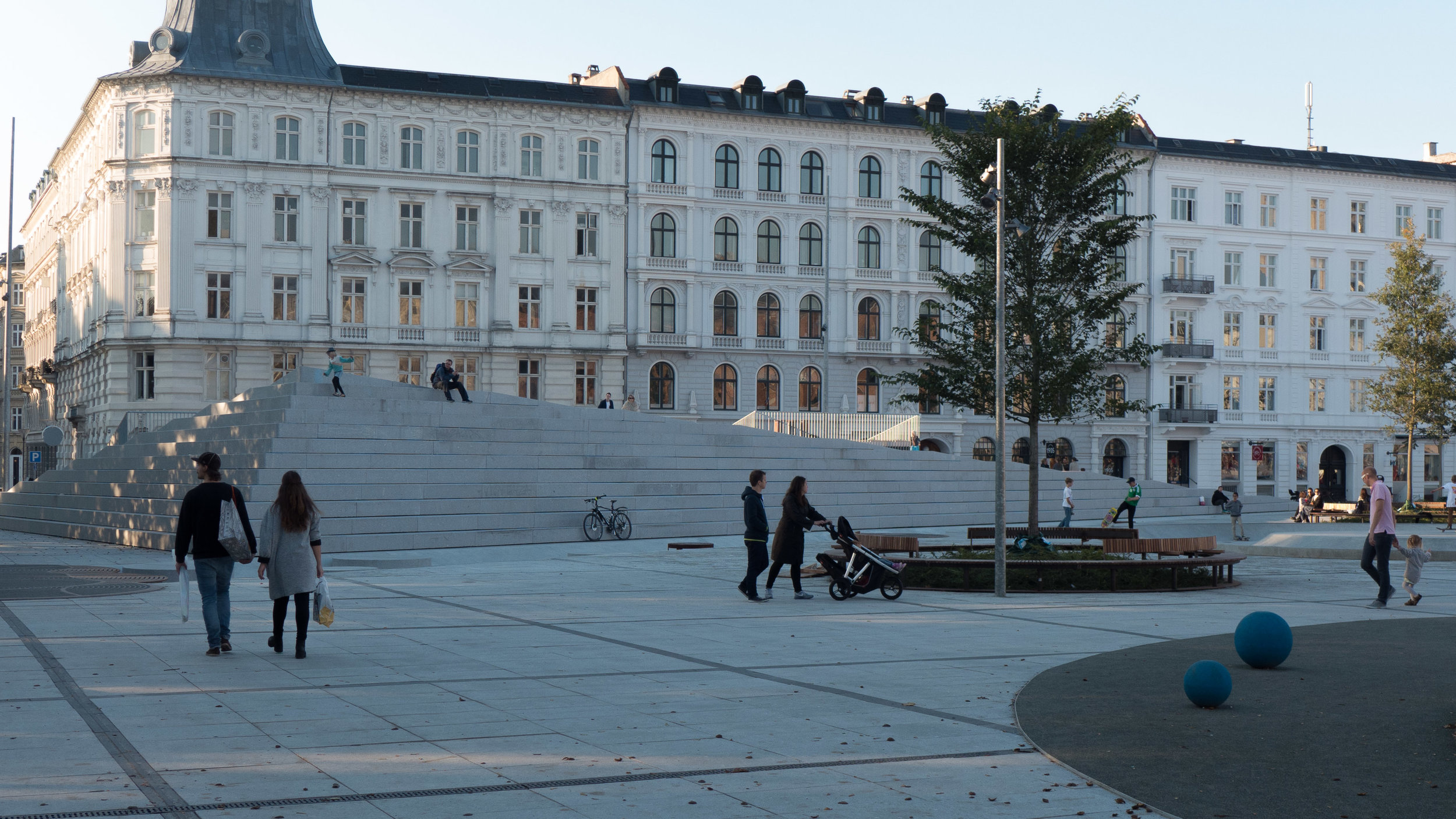
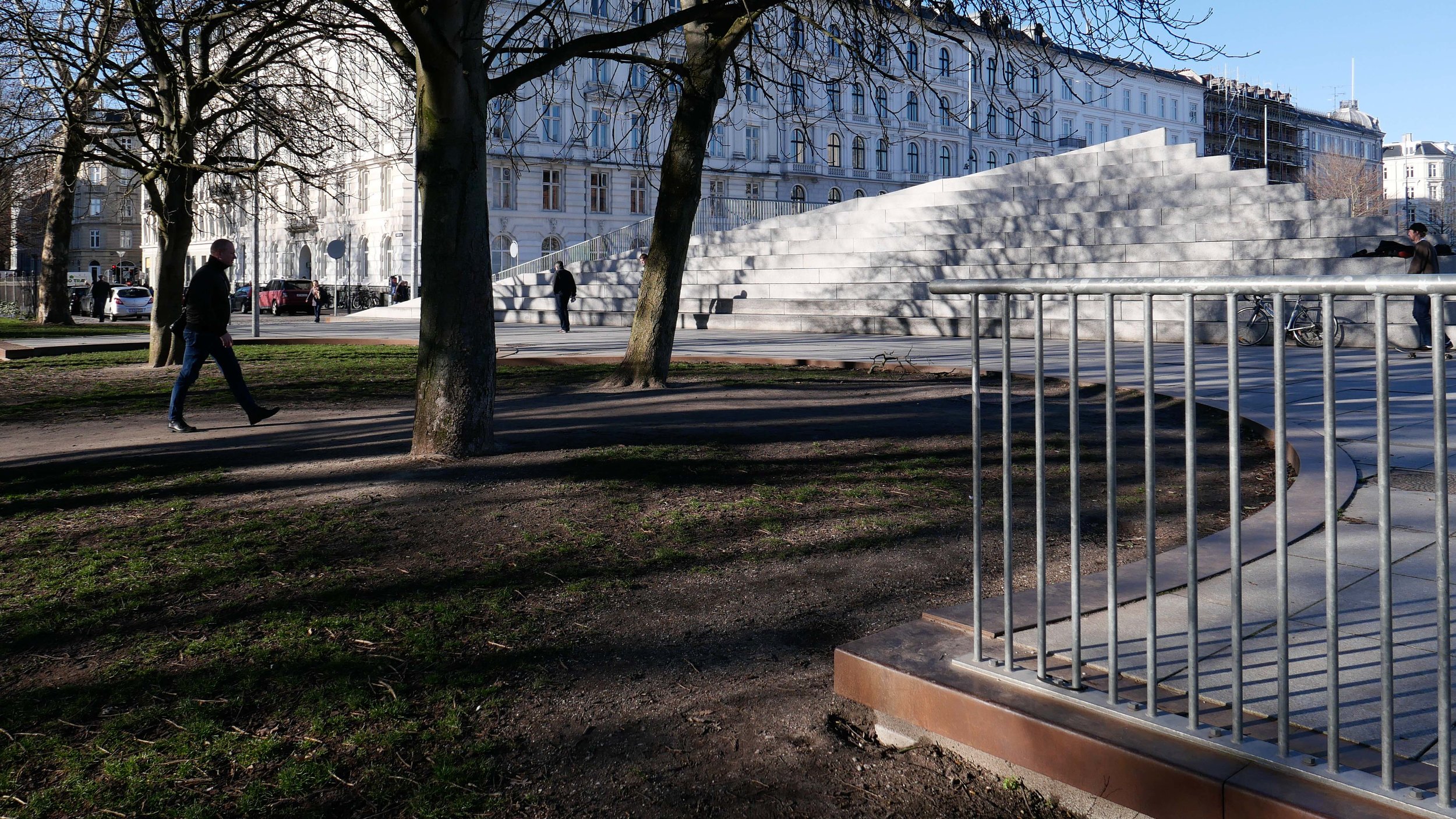
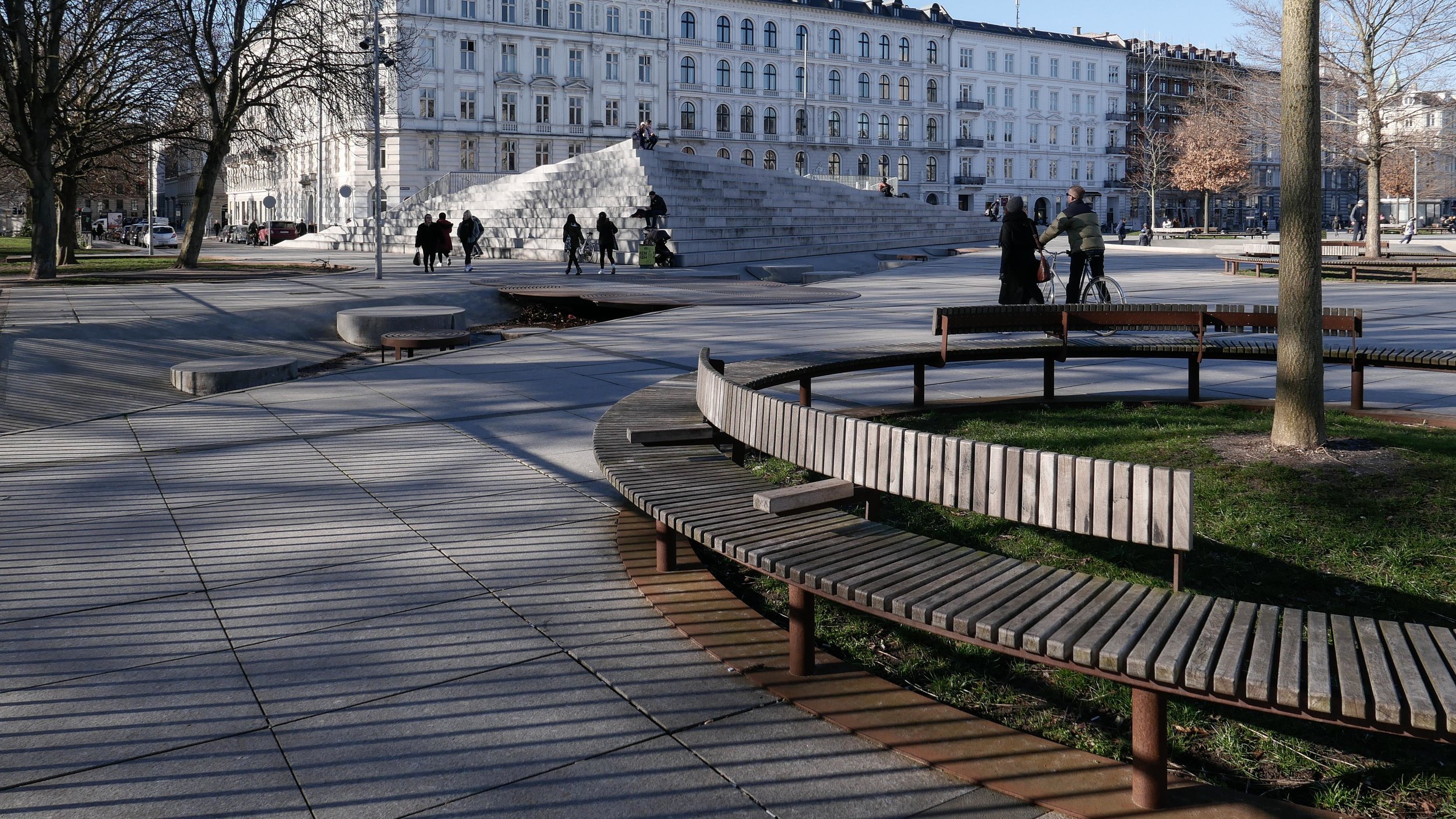
These corners of the carpet are now the bold steps rising up across the south-east corner of the square and a prominent V-shape of steep steps at the north-west corner of the square that covers an exit ramp from the underground car park below the square.
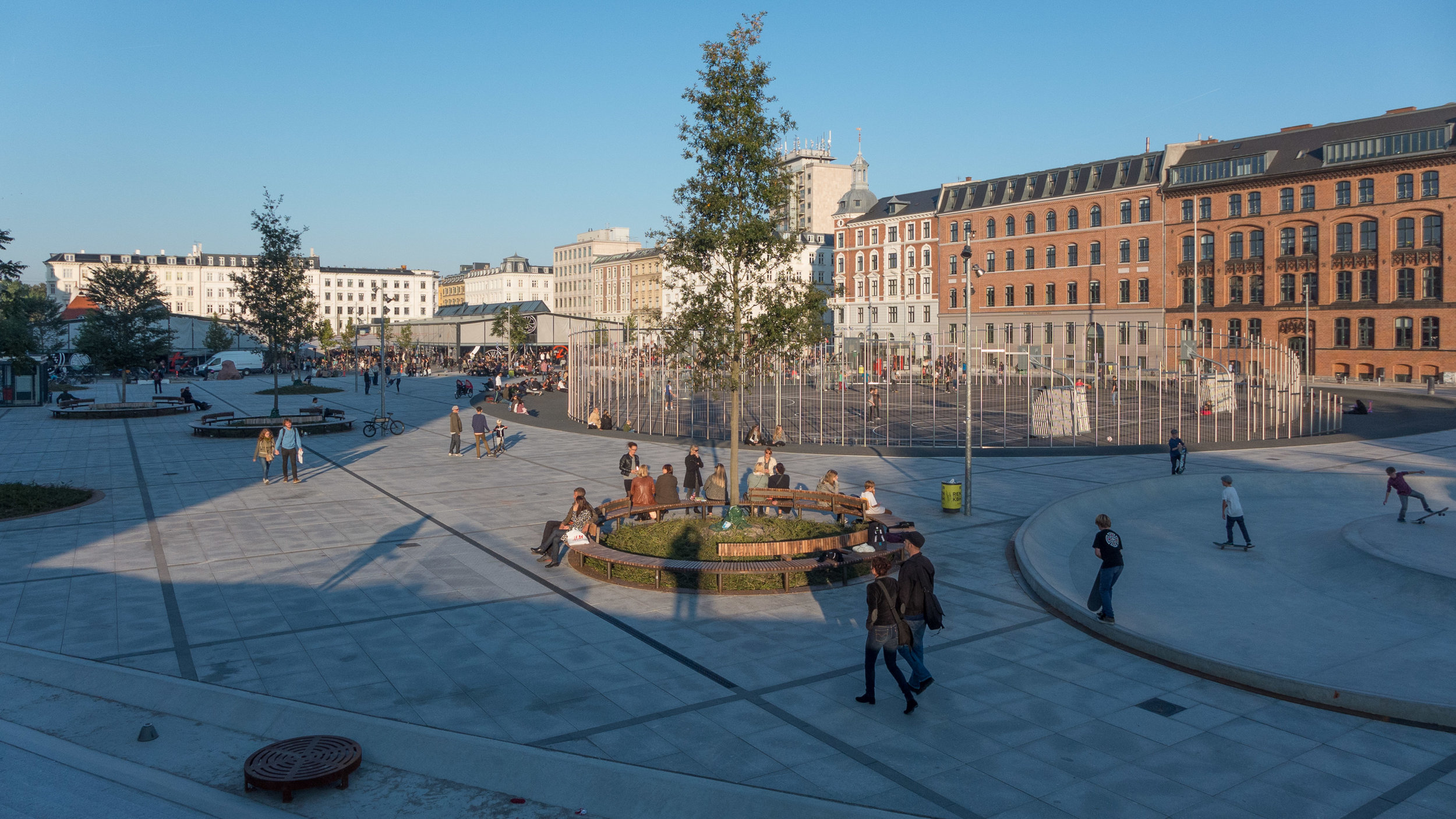
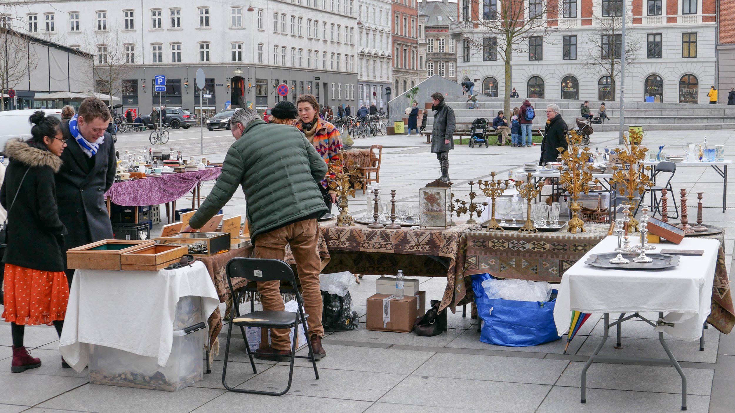
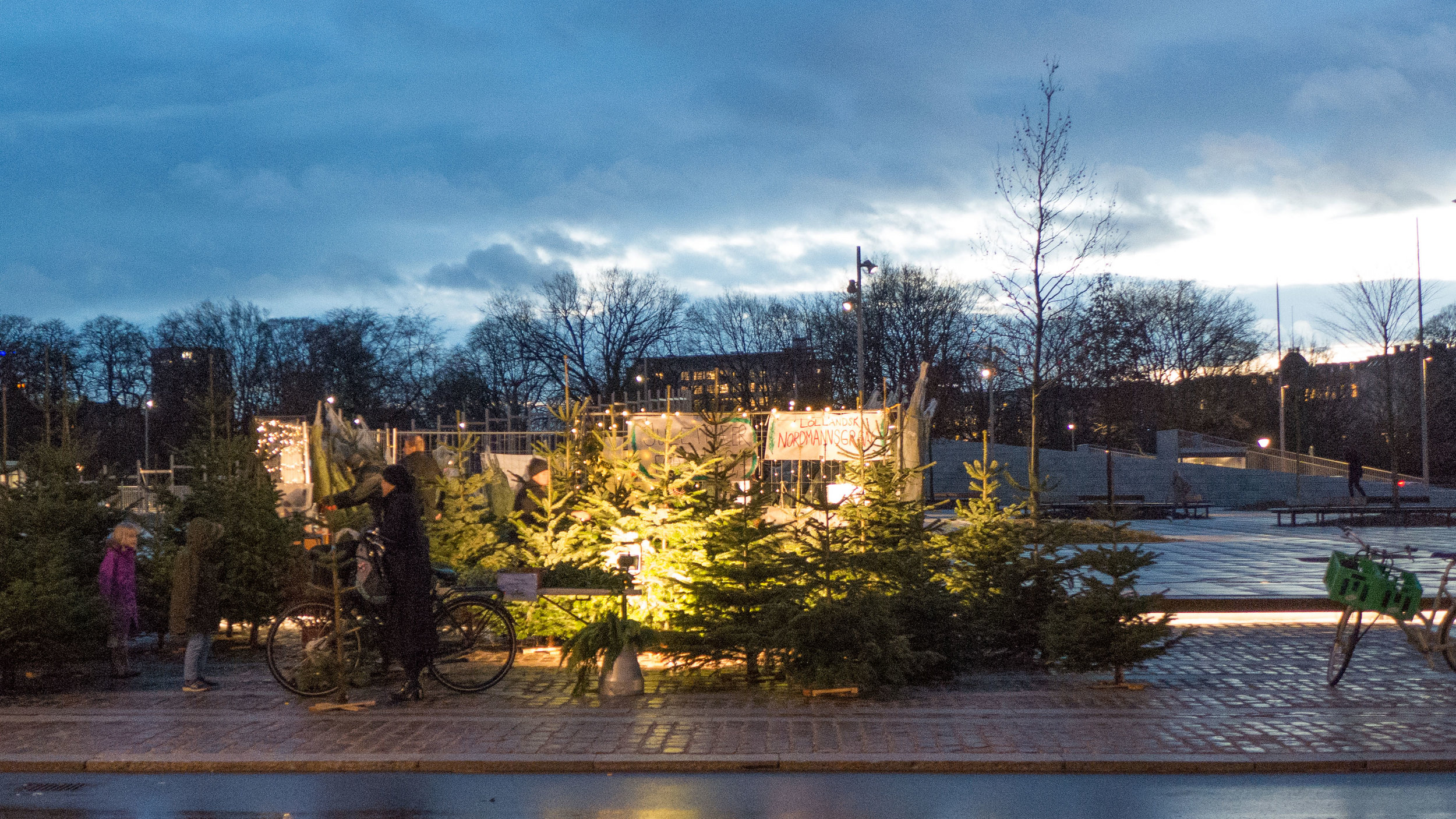
Israels Plads has new trees in a bold pattern of circular planting and seating areas; courts for sport; play equipment for children; open space for events like flea markets and plenty of areas where people can sit and watch was is happening here.
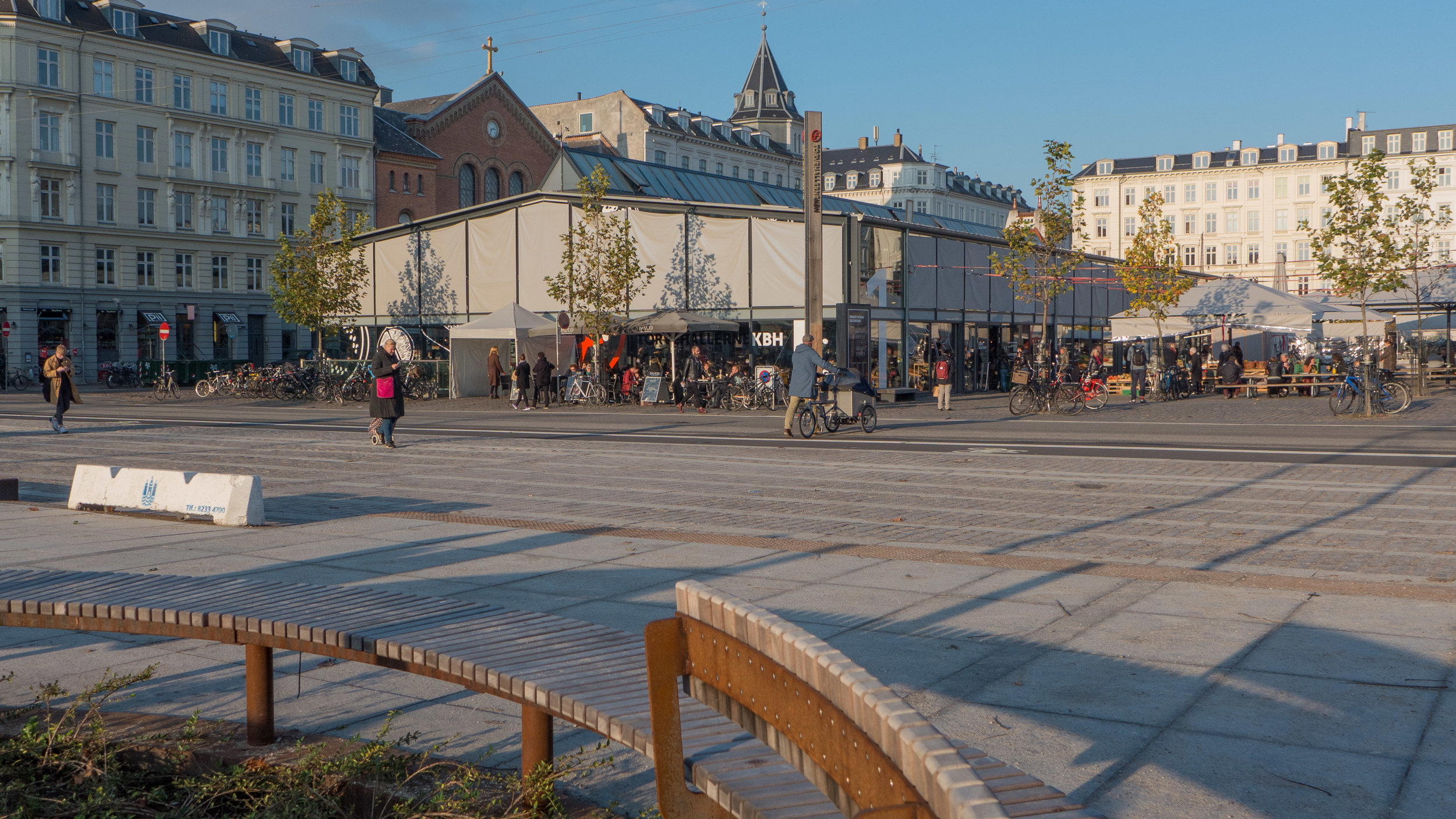
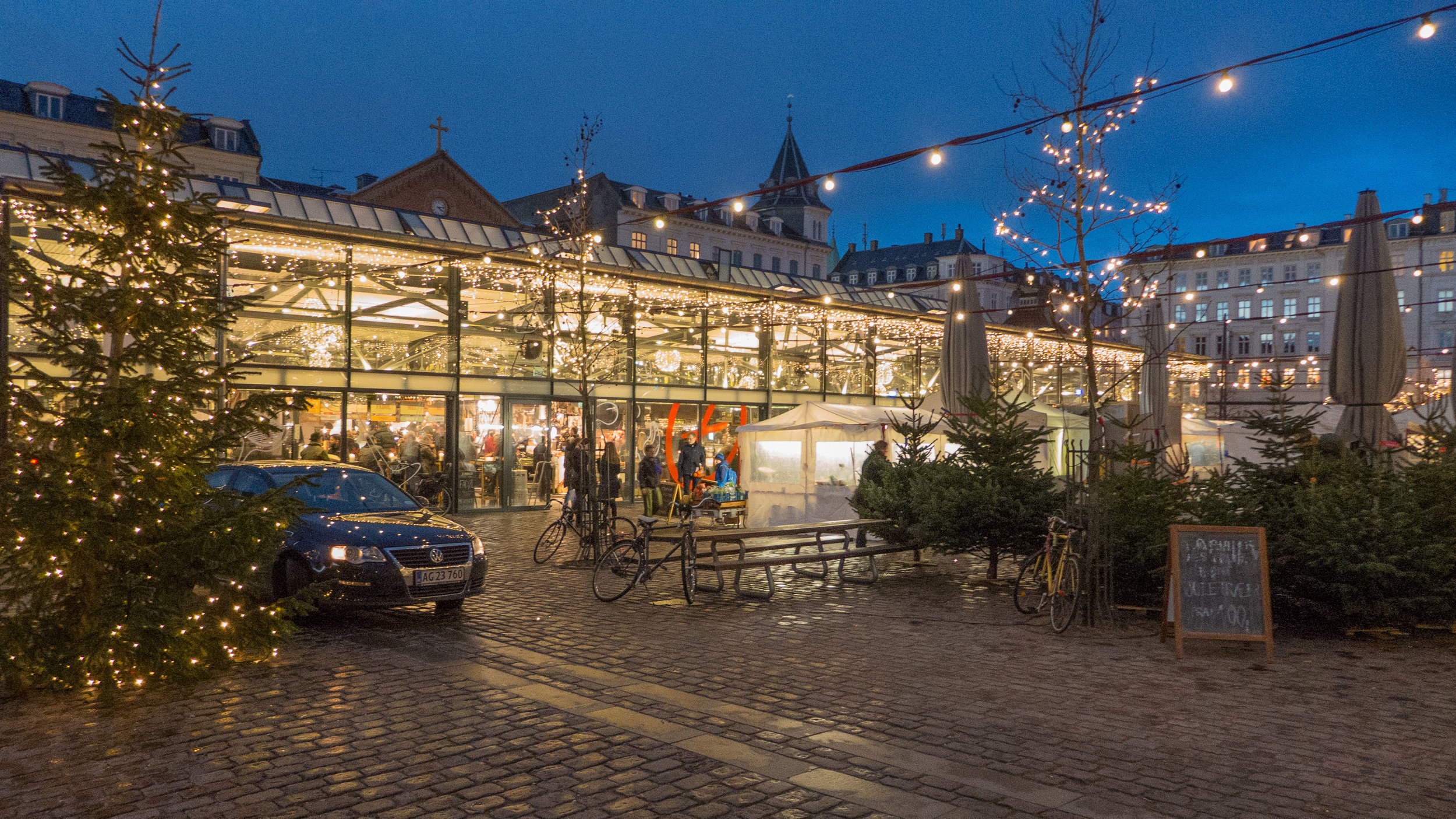
With this extensive new work, the square is now closely linked to a large and well-used public park immediately to the west and is adjacent to Torvehallerne - very popular food halls - immediately to the east, that opened in 2011. This is all just a block away from the major transport interchange of the station at Nørreport - an area also remodelled by COBE - so within a few years, and with justification, Israels Plads has become one of the most popular and best-used public spaces in the city.
history
Until the late 19th century, this part of the city was just outside the old defences - the banks and ditches that surrounded and protected the city - just outside the north gate and immediately to the west of the important road leading up to the gate. The road came through what is now Nørrebro and crossed the lakes before crossing the ditches of the defences. A large park immediately to the west of the square has part of these defensive ditches retained to form a large lake.
When the defences and the gate were removed around 1870 this was still a main road into the city and as the city grew rapidly out to the north, with big apartment buildings, the square was left as an open space and was used as a market area - the Grønttorvet or vegetable and fruit market - for produce brought to the city for sale.
The market remained here until 1958 when a new wholesale vegetable and fruit market was built in Valby, out to the west of the city, and the square was then used as a huge car park.
In 1973 an underground car park was constructed and football pitches were laid out on the square itself. I can remember coming to a flea market here on one of my first trips to Copenhagen. I can't remember if I bought anything but I do remember that several long rows of stalls set out along the east edge of the square hardly made an impression on the huge space and I remember that I came away with a thick coating of dust over my shoes.
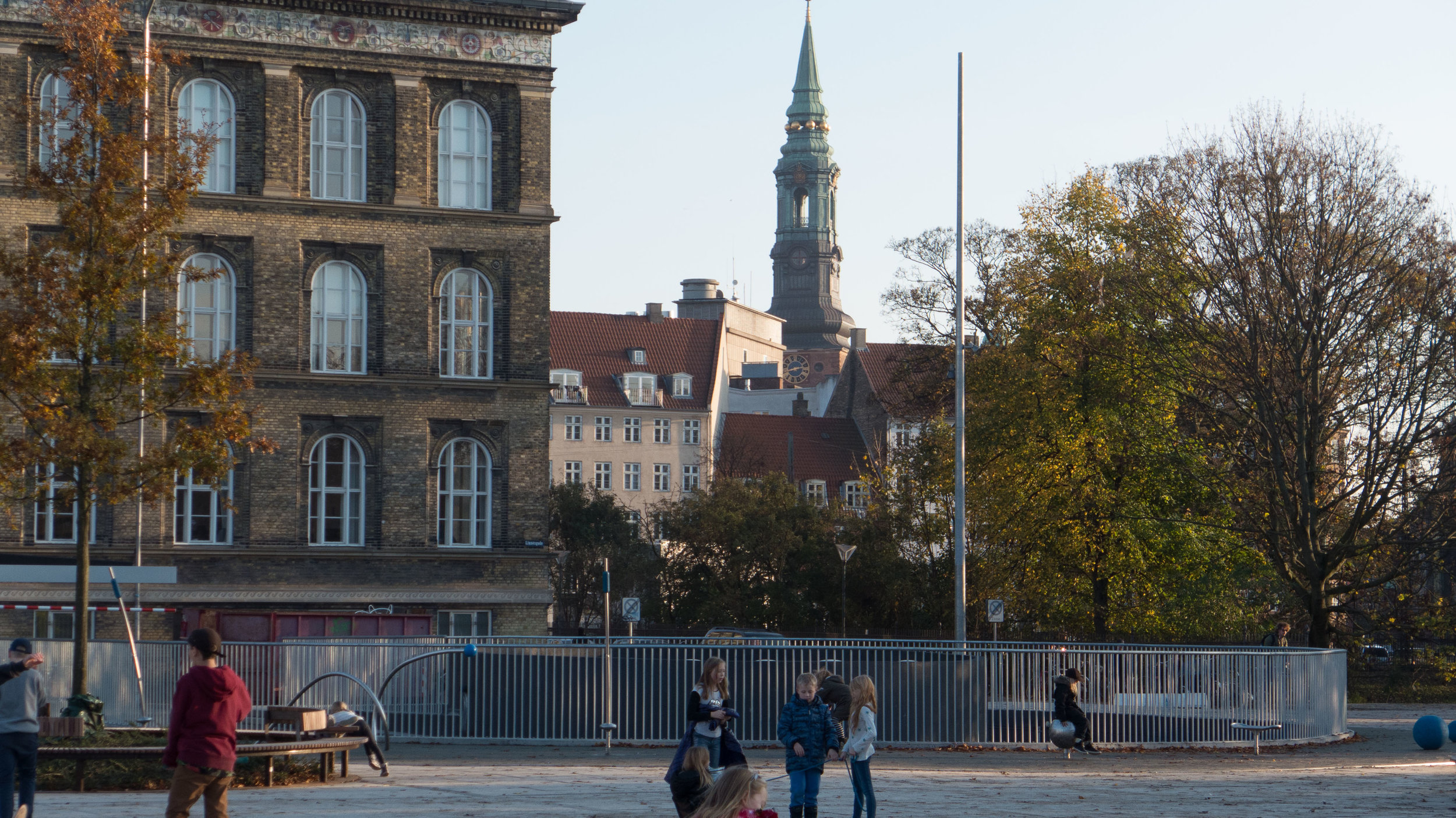
Israels Plads at the centre with Torvehallerne - the food halls and open-air market between the halls to the east and Ørstedsparken and the lake - from the outer defences to the west and to the south, one block away, are the roofs of the pavilions of the public space above Nørreport station
the area beyond Nørreport or North Gate in 1860 before the defences banks were dismantled and before much of the water-filled outer ditch was built over

Over 260 metres long, this large space should really be seen as two distinct areas with Vendersgade between the two parts.
The east half has two large food halls with the main road into the city - Frederiksborggade - across the east side and Ørestedsparken - a large and well-used public park - is at the west end. There are good apartment buildings along both long sides and including a church and a large and important school. All these buildings date from the last decades of the 19th century. The roads along both long sides of the space have some access to vehicles for deliveries but only Frederiksborggade has relatively heavy and continuous traffic including buses.
Israels Plads itself is 150 metres long from Vendersgade to the edge of the park - Ørestedsparken - and 105 metres wide from Rømersgade across the north side of the square to Linnésgade across the south side from the facades of the buildings to the facades of the buildings opposite.
These are good buildings, generally of four or five stories, and they define and enclose the space.
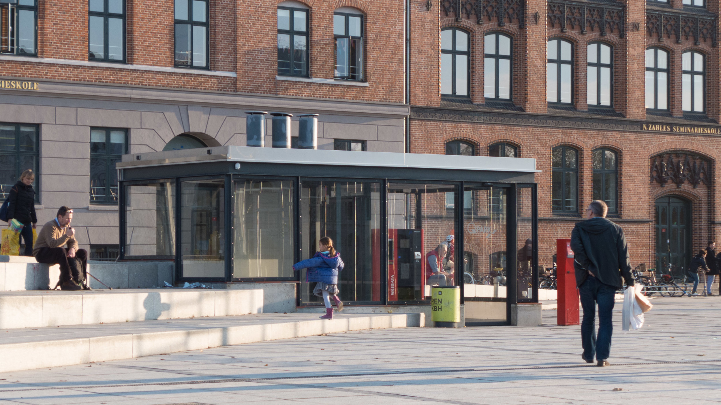
The square itself is free of vehicles and the edge is raised with quite a high step that has a distinctive iron edging to prevent cars driving up even to park briefly. There is parking under the square for 1150 cars - the largest in the city - with the entrance for cars down a spiral ramp at the south-west corner and the exit by a ramp at the north-west corner but what is important is that traffic cannot drive across the west side of the square - across the access from the square to the park. Cars, driving into the car park, come from Nørre Voldgade and barely get into the square before they are taken down the ramp and cars leaving are directed away from the square immediately they leave the exit ramp to leave the area by Nørre Farimagsgade.
There are four pedestrian access points for people leaving their cars or going back to retrieve their cars but these have open glass boxes with a relatively light structure over lifts and staircases and payment machines so these are barely obvious in such a large space.
The key to the popularity and to the success of the space is that it is large enough to take very different events and activities, often at the same time, and yet there are few fixed uses, apart from the the sports area, so there is considerable flexibility … it is people who decide what they want to do here and not the space or the street furniture that dictates what they do.
However, having said that, the space and the placing of street furniture is done with considerable care and subtlety to manipulates - to some extent - how people move through the space and certainly to direct where they look. There is a very clever use of diagonal lines so particularly the raised areas of steps across each corner lead you towards park at one end and out towards the food halls at the other.
COBE was also responsible for the redesign of the large street-level space above Nørreport railway station - just one block away - but there the design was approached from the opposite direction. Nørreport is the busiest transport interchange in the city with a large bus station and with suburban trains, below ground, and the metro below that so COBE started by tracking how people moved across the space at ground level as they arrived at or left the station and fitted new buildings and areas for leaving bikes in the spaces where they walked least. At Israels Plads it was an large open space - so almost a blank sheet of paper apart from the access points for the car park - and the design here is about placing street furniture to enhance and, in an almost subliminal way, control how people use and move through the space.
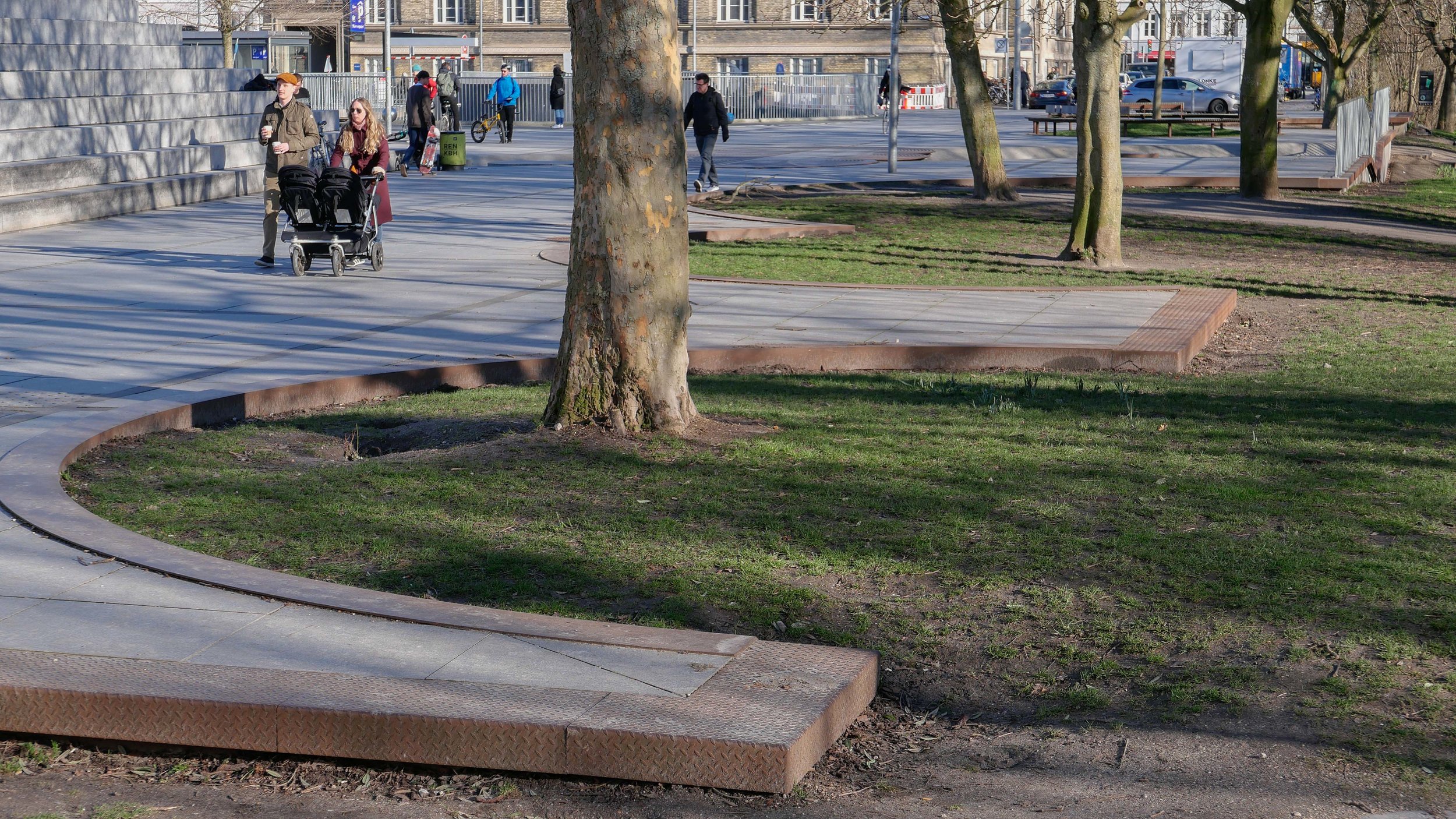
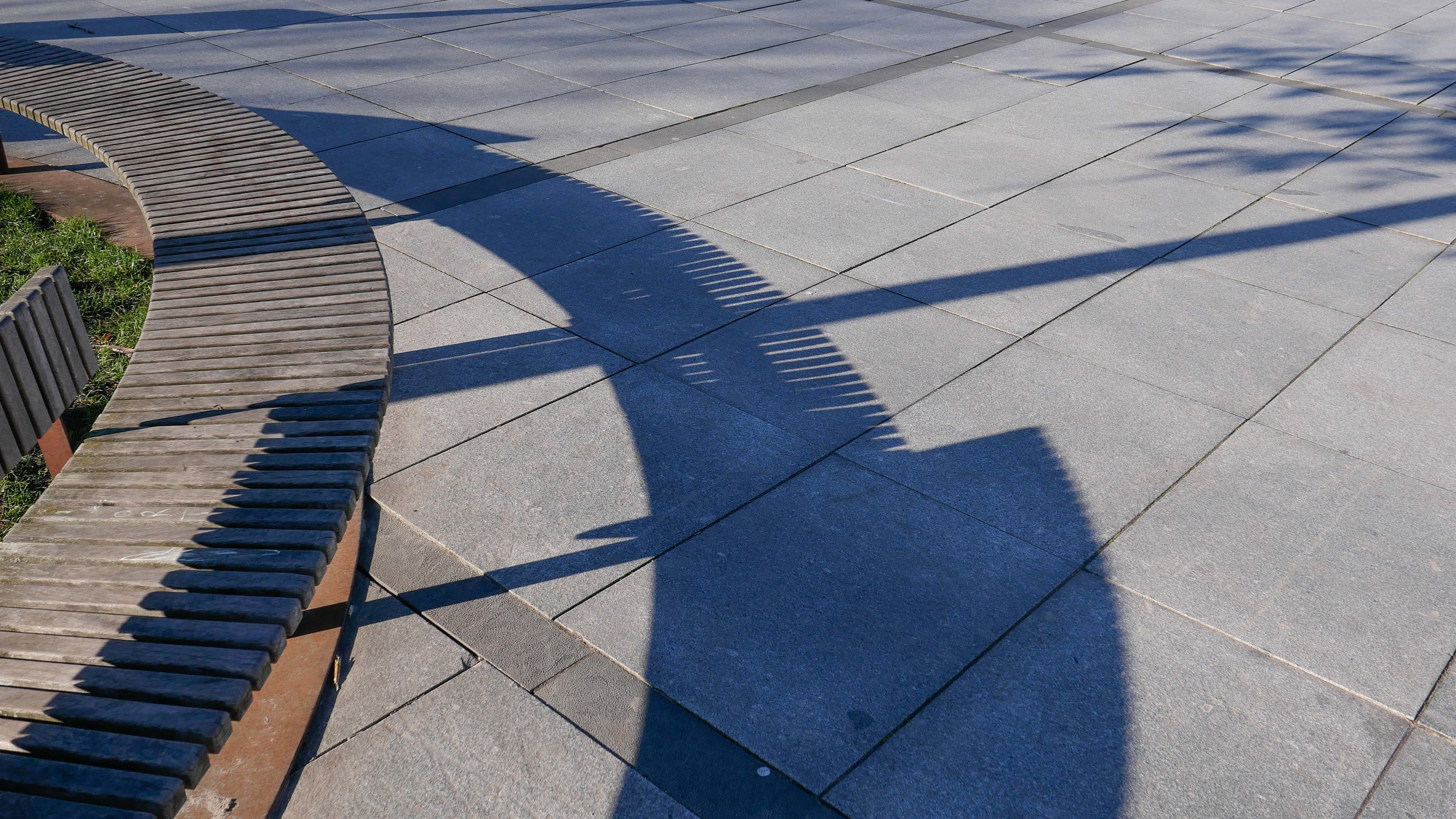
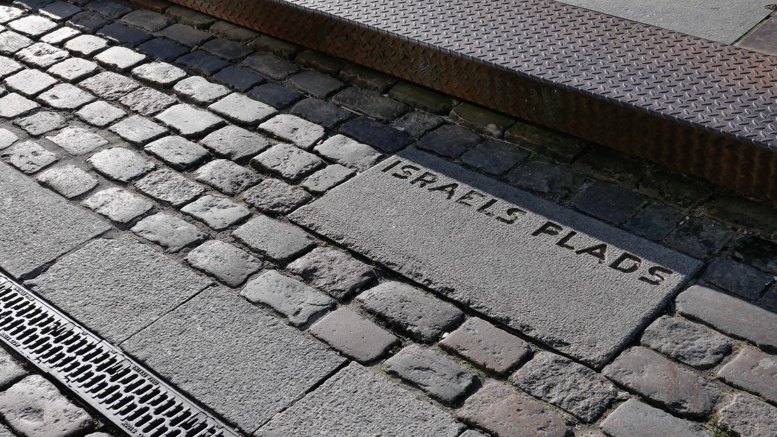
Paving is laid out as a large grid, like giant sheet of graph paper across the whole area, with 16 large squares across and 25 along marked out by bands of darker stone or long, narrow drain covers and then, within each square, a regular layout of rectangular slabs. This pattern rises up the outside slopes of the large raised areas of steps across the two corners to bring these into the overall design but also to reduce their impact when seen from the side roads.
The main features of the square and the street furniture are set in a series of circles of various sizes with the largest being for sport with two courts surrounded by a high fence although this fence itself is made a distinct feature by being arranged as a spiral climbing up from a main but narrow entrance point to keep footballs and so on in play. The surface of the sports area is sunk down slightly from the level of the main part of the square and there is an eccentric oval of soft surfacing that forms a bank around the sports courts where people sit to watch.
A second main circle is a shallow bowl for skate boarders and then there are a series of circles framed by a flat rim of iron with circular seats and with single trees and low ground-cover planting.


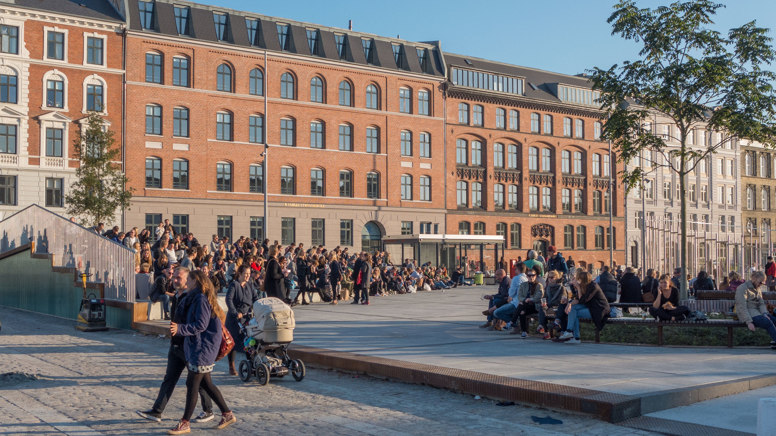
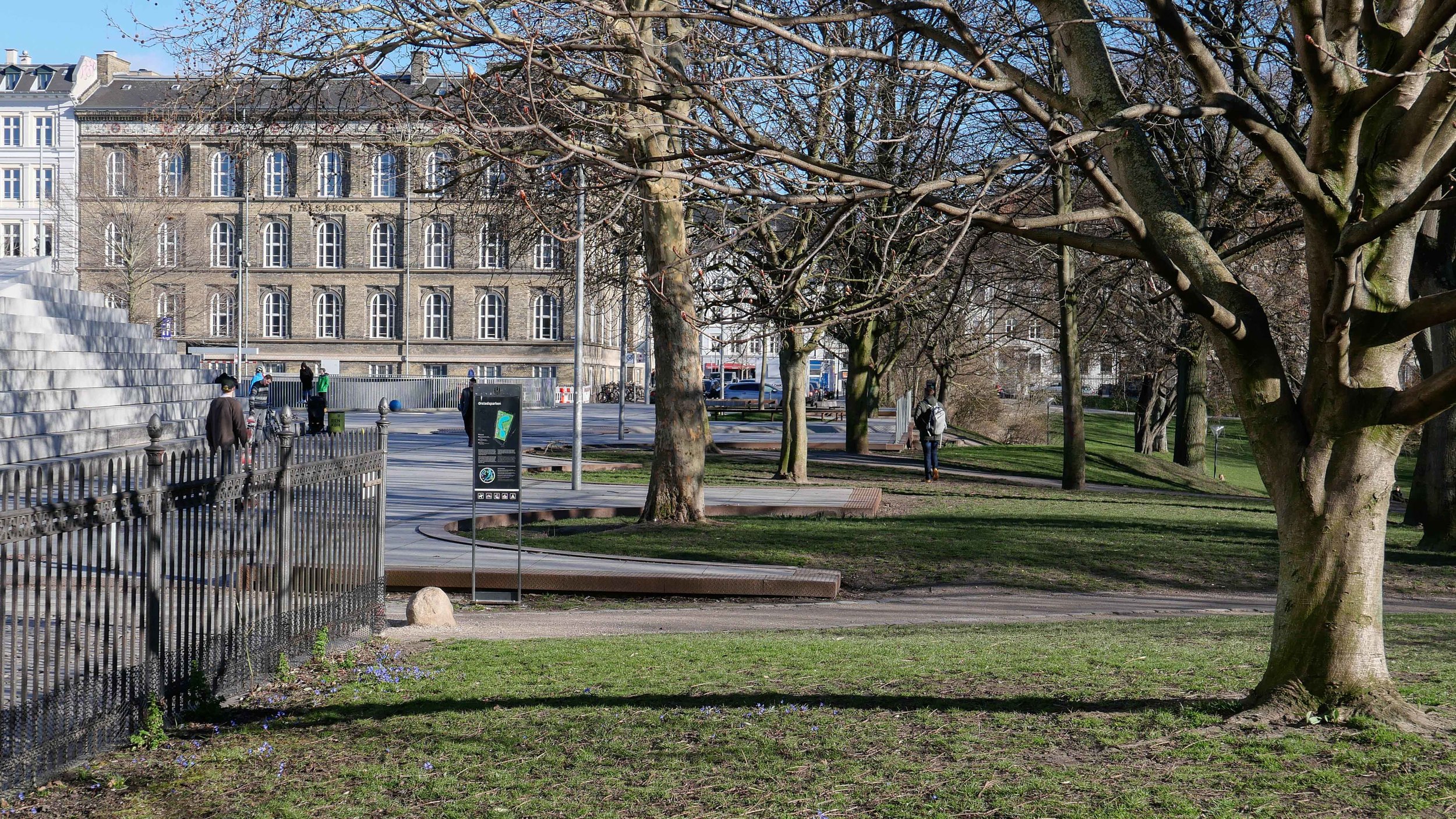
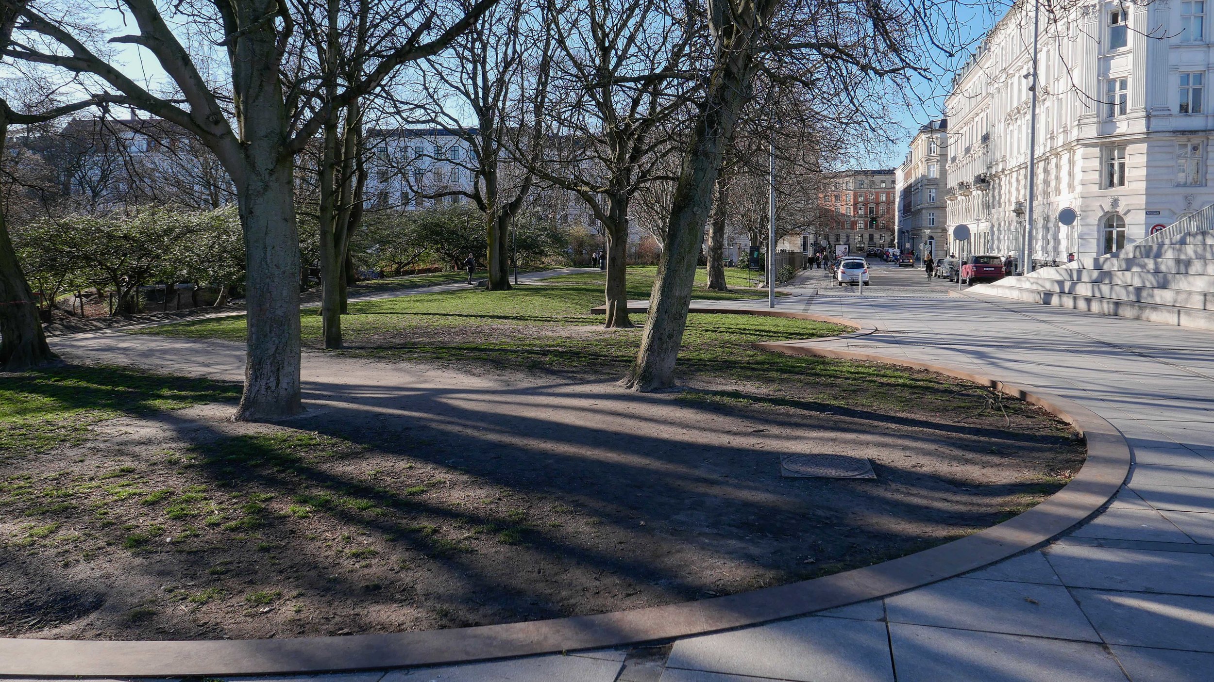
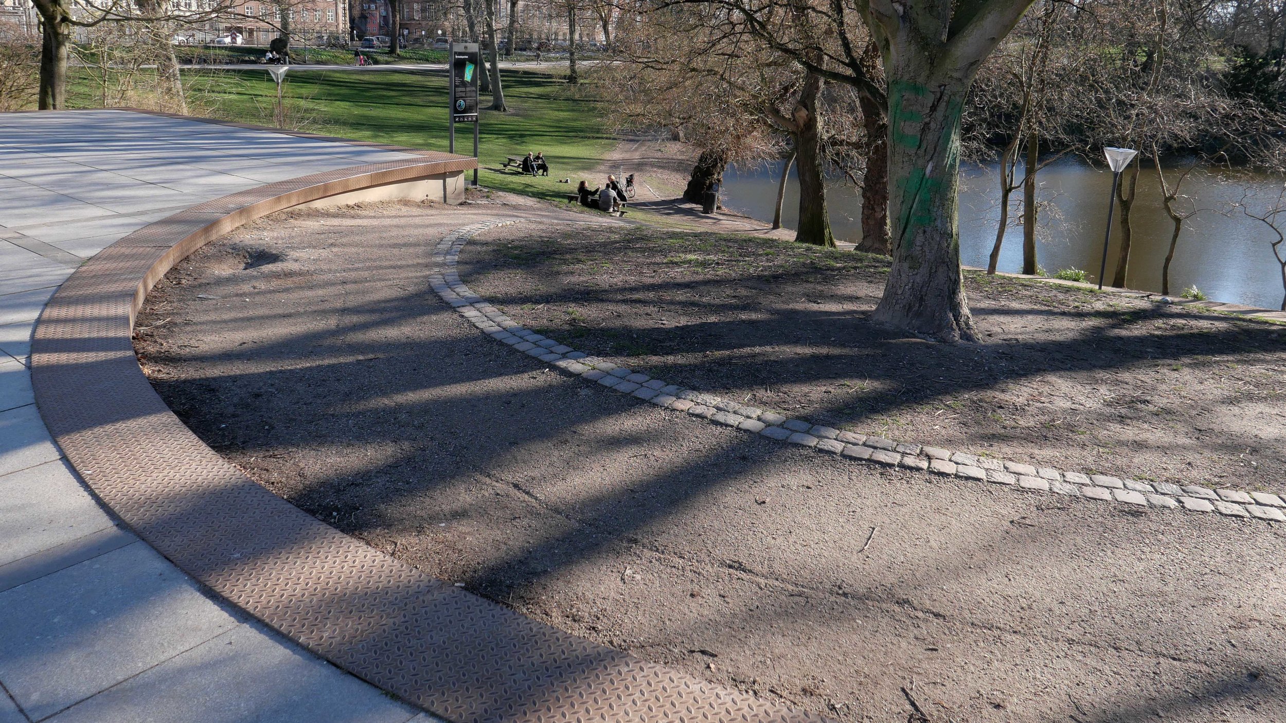
These circles are taken out into the space of the park and form what is almost a scalloped edge. Originally, there were railings that formed a distinct barrier between the square and the park but the road and the railings have been removed, across the end of the square, and the level of the square taken out as an apron, just beyond the line of the fence, to link together the two areas - park and square - and also to increase the impact of the change of levels from the square to the slope down to the lake in the park.
Across the front of the steep bank of steps at the north-west corner is a stone rill or water feature that gets wider towards the park with a series of fountains and with iron circles forming a bridge across before the water drops down through a series of circular basins down the bank.
The rill forms an effective division between the area where people sit on the steps across the angle of the corner to watch what is happening on the square. The rill keeps most skate borders to the square itself but also acts as a strong visual element, running at an angle, that leads people towards the centre of the west side and to the series of ramps down into the park.
The effect is that trees from the well-planted and well-established park seem to come up into the space of the square so depending on the direction you are walking you move from the busy city space at the metro end, through the bustle of the first part of the square and through the busy food markets to the area for sport and exercise and areas for people to sit and watch what is going on and then on to where the trees become larger and you enter a transition point where you come to grass but with an iron-covered edge so you step into the park and then down a steep bank, down gravel paths, to the lake. The other way round, of course, if you start at the lake, you are well below the square and hardly aware of what is happening there but as you climb up and enter the square you move into a more and more urban and more and more busy city space.
Torvehallerne
Torvehallerne was opened in 2011 and is now a very popular destination - not just for tourists but for local people and for people, heading home from work in the evening, who stop here for a drink or an early-evening meal.
The two food halls are large - each 50 metres long and 24 metres wide - and are set parallel some 21 metres apart so there are food stalls and market stalls outside in the space between the two halls.
They are set back from Vendersgade, the road that divides the two parts of the square, but there is much more space at the east end where the halls are set back from Frederiksborggade to form a square. This is important because it separates out and differentiates different functions so the large space, at the far end away from Israels Plads, has outdoor eating and is busy with lots of people here well into the evening and it has a distinct city feel … there is an entry to the metro just outside the square towards Nørreport. At the west end people sit immediately outside the food halls, out in the sun, to have a coffee or they cross the road to the main part of Israels Plads to eat snacks or drink while they sit and watch what is happening on the square.


