City Park in Ørestad

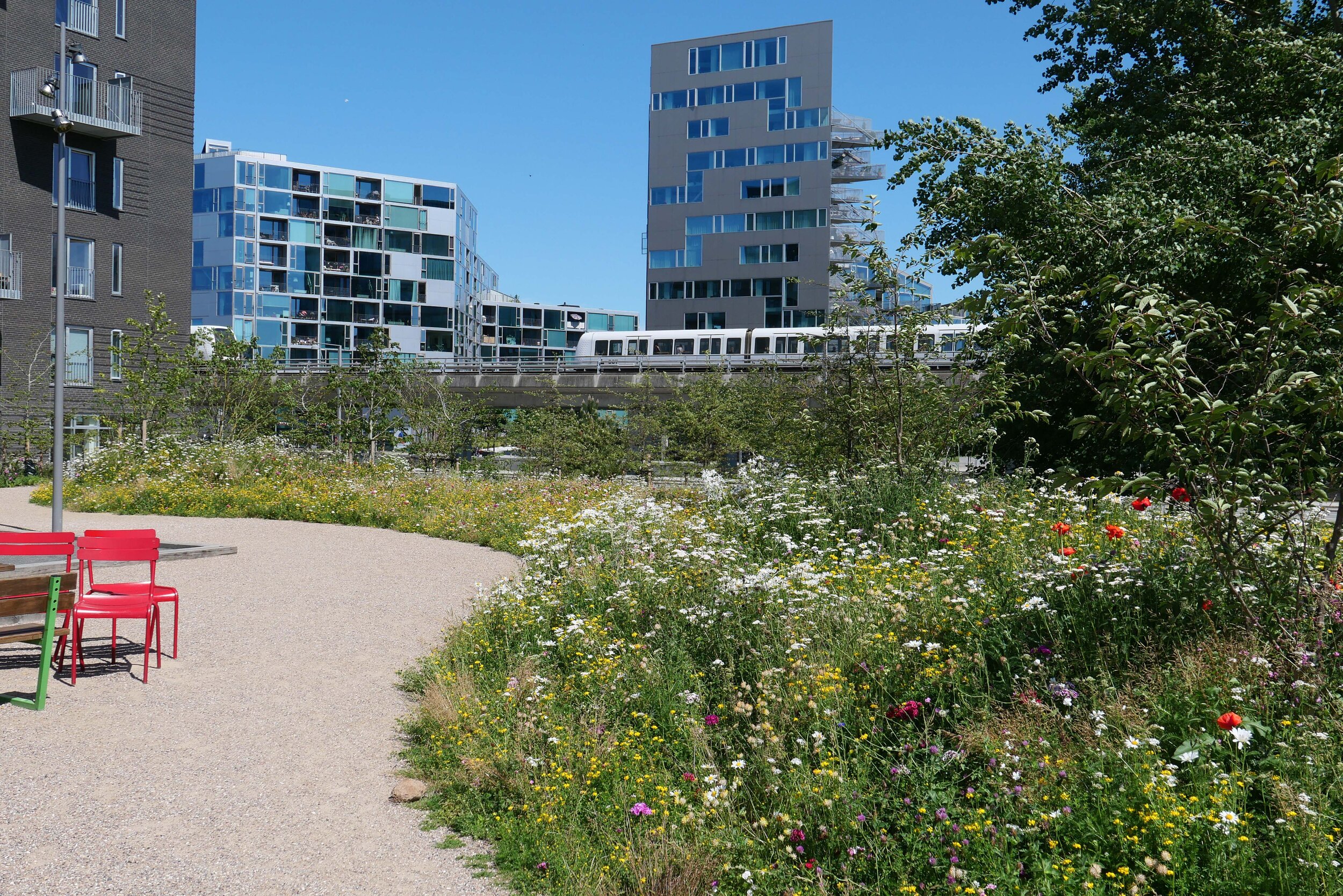
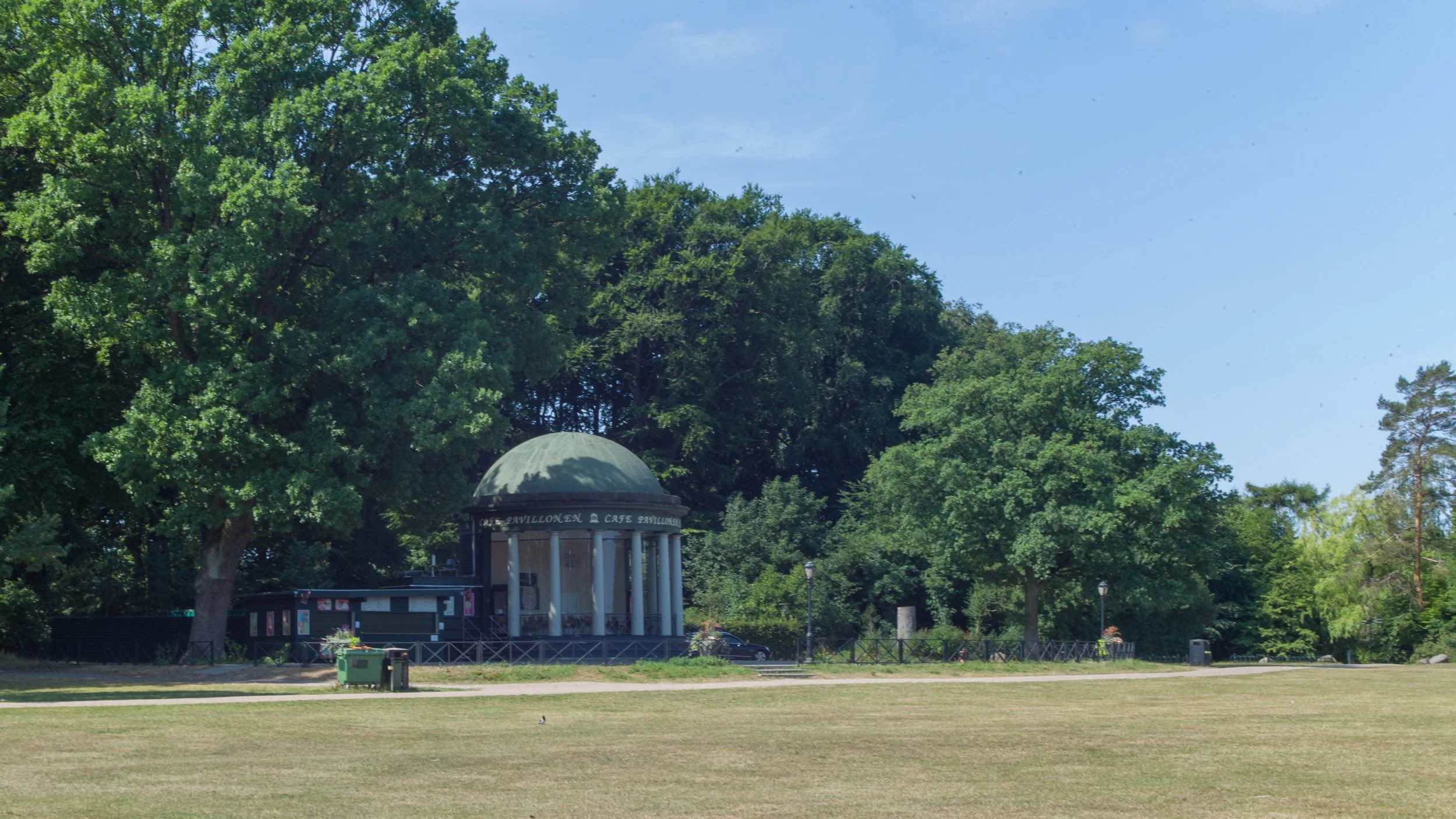
In September 2019, work started on a new and important phase of landscaping, with new planting, at Ørestad Byparken - the City Park in Ørestad. Ørestad is the large area of housing and offices on Amager, that issouth of the city centre and to the west of the airport.

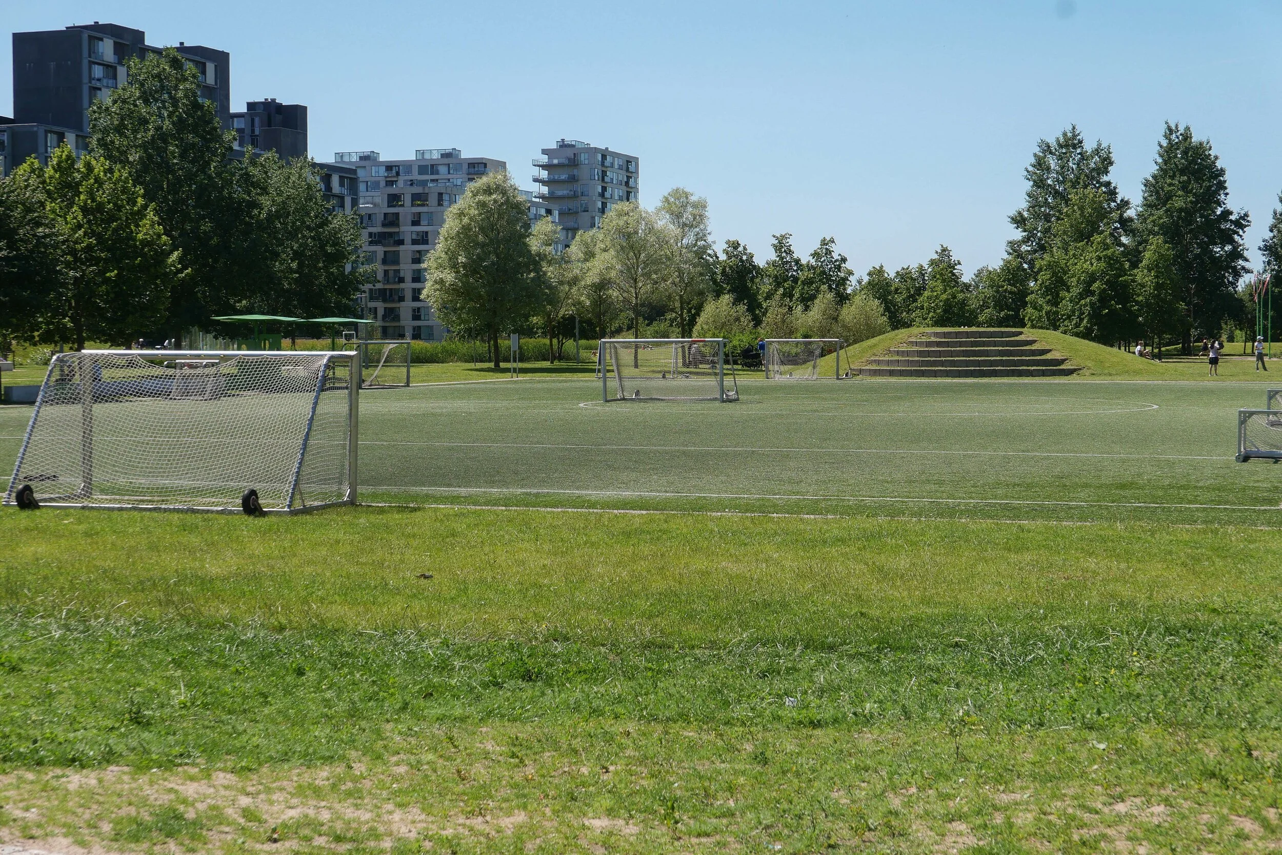
Opened in June 2008, from the start, city park was planned as the major open space for this new area of Copenhagen. It occupies a large city block that is over 460 metres wide between Center Boulevard to the west and Ørestads Boulevard and the elevated line of the metro to the east. From north to south, the park is 170 metres across with four large blocks of apartment buildings across the north side and four large blocks of apartments across the south side. When the first of these blocks were constructed, these were then some of the largest and tallest apartment buildings in the city - other than tower blocks - so the park is, without doubt, urban in character.

Initially, there was just a single wide path running at an angle across the space between the two boulevards but, over the last decade, areas for sports have been laid out and play equipment and sculptures have been added along with large, semi-mature trees with some moved here from Kongens Nytorv - the large public space in the centre of the city - where the trees there had to be cleared for construction work to start on a new metro station that opened in 2019.

The regular plan of Ørestad City Park and the high buildings on three sides make this the modern equivalent of the park at Enghave in the south-west part of the city that was laid out in the 1930s.

Early photographs of the park at Ørestad show that at first it was not just stark but was bleak but the work of the Ørestad Landowners' Association, now responsible for the park, have transformed the area into a major asset for the community.

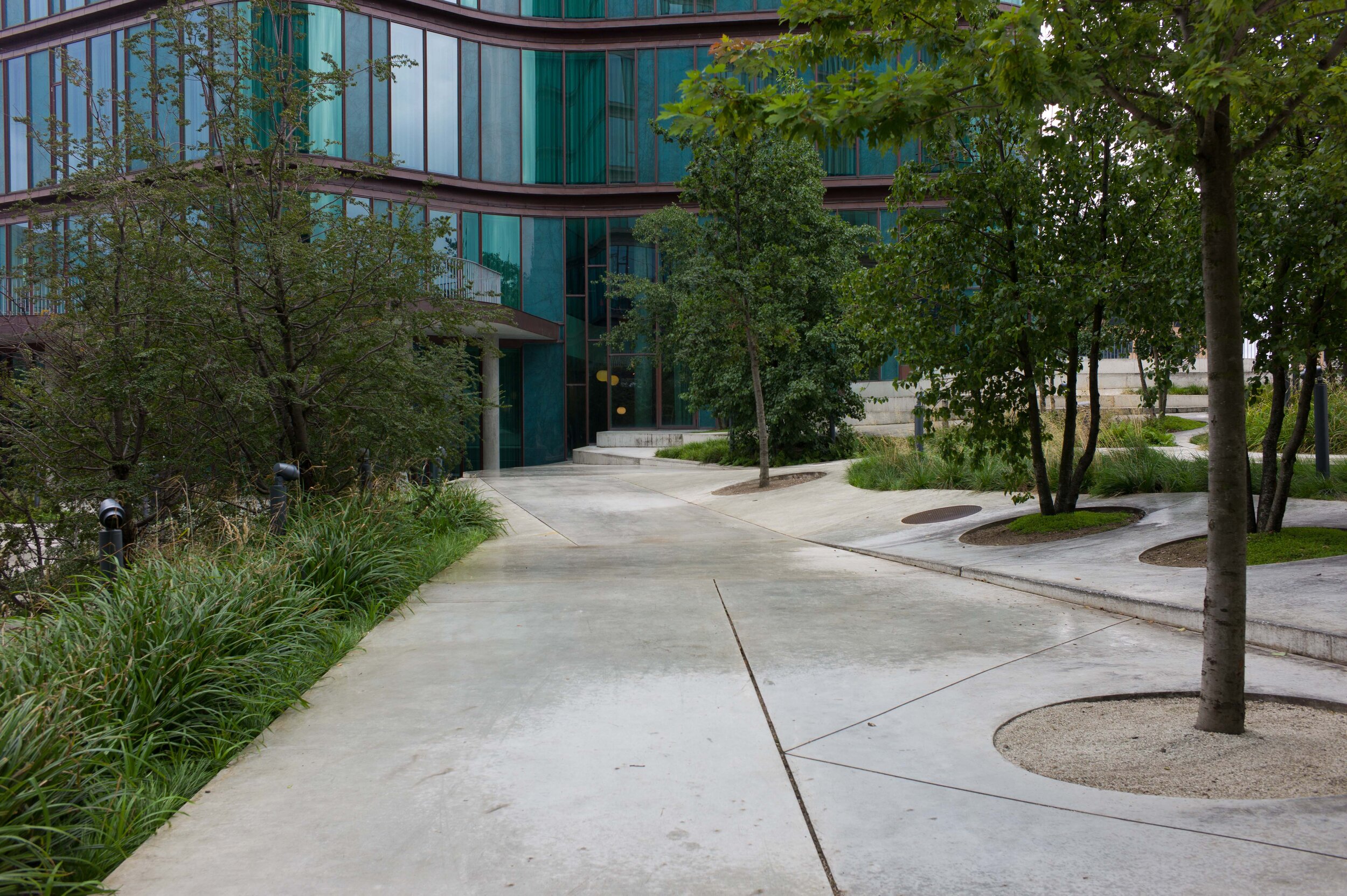
This, the most recent phase of improvements, was designed by the Copenhagen landscape architecture practice SLA Arkitekter. It covers a relatively small area at the north-east corner of the park but has created what is already a densely-planted buffer zone between the park and the main road and metro line that form the east boundary. There are mounds and features like a new area for playing petanque that was not in the original plan but was requested by local residents and this work creates a number of more enclosed spaces or outdoor rooms around the east and south sides of an existing football pitch.

Planting has been kept as natural as possible, for biodiversity, and has wild meadow flowers as ground cover. The hard landscaping, with bold rounded grass-covered mounds, has curved and twisted pathways for interest and this softens the hard and angular forms of the large buildings around the park.

SLA Arkitekter


Urban Nature in Copenhagen - Strategy 2015-2025

Kongens Have / The King’s Garden in the centre of Copenhagen

Copenhagen is proud of it’s parks and gardens - important areas of green in what is a densely built but compact city. There are some fine avenues of trees and some areas close the city centre, like Holmen, have been developed with space and good planting of trees and gardens and with access to the water of the harbour but there is more an more pressure for more densely built developments and for more high-rise apartments which means more people wanting and needing access to space and green areas.

Some urban streets have new schemes to cope with storm water from cloud bursts and these usually include new planting and older courtyards in the city are being reorganised and replanted but is this enough for a rapidly-growing population?

The city published a report that set out a number of goals for Urban Nature in Copenhagen for the period from 2015 to 2025. As we are now at the halfway point it might be a good time to revisit that report and assess what has been achieved and to set further goals.

The report on a strategy for nature in Copenhagen was published in English in May 2015 by the City of Copenhagen Technical and Environment Administration and can be downloaded from the site of Københavns Kommune:

Urban Nature in Copenhagen - Strategy 2015-2025


if you take Rundetårn - the Round Tower - as being at the heart of the old city - then the man fishing is just a kilometre from the tower and the amazing trees of the Botanical Gardens are just 500 metres from the tower …. this view from the terrace of the great green house is looking east so towards and across the centre of the city just beyond the trees

Goals for the city of Copenhagen:

the goals are taken from the report on Urban Nature in Copenhagen

Biodiversity:
To increase the number of initiatives that enhance biodiversity and ensuring that the promotion of biodiversity is always included in the considerations when Copenhagen is developed and transformed, so that we can help expand, enhance and protect urban nature as a whole.

Climate Adaptation:
To ensure that the climate adaptation of Copenhagen contributes to creating more urban nature, enhancing biodiversity and creating more recreational experiences.

Nature Areas:
To ensure that Copenhagen's nature areas are developed and maintained with particular emphasis on enhancing biodiversity and nature experiences.

Parks:
To ensure that the city's parks are developed and maintained with concern for cultural history, recreational needs and biological considerations.

Cemeteries:
To ensure that the city's cemeteries are developed and maintained with particular emphasis on making them an active part of recreational life in Copenhagen - with respect for peace, quiet and funerals.

Urban Development:
To ensure that local planning processes include demands for the quality and quantity of urban nature and enabling the creation of green municipal areas in urban development areas.

Municipal Land:
To ensure that demands are made to the quality and quantity of urban nature when municipal areas, streets and buildings are renovated or transformed.

Non-municipal Land:
To ensure that the City of Copenhagen actively supports green initiatives on non-municipal land by inspiring, motivating and engaging in partnerships with private actors and landowners.

Trees:
To increase the total number of trees in Copenhagen, securing good growing conditions for new and existing trees in the city and securing variation in the selection of species of trees.

Spatial Quality:
To ensure that urban nature is created, developed and tended with particular emphasis on maintaining a human scale and urban expression in the city.

Water:
To secure access to water and water experiences and securing clean water in lakes, streams and the sea with a varied wildlife and vegetation.

use left and right arrows or click on the image to scroll through the photographs

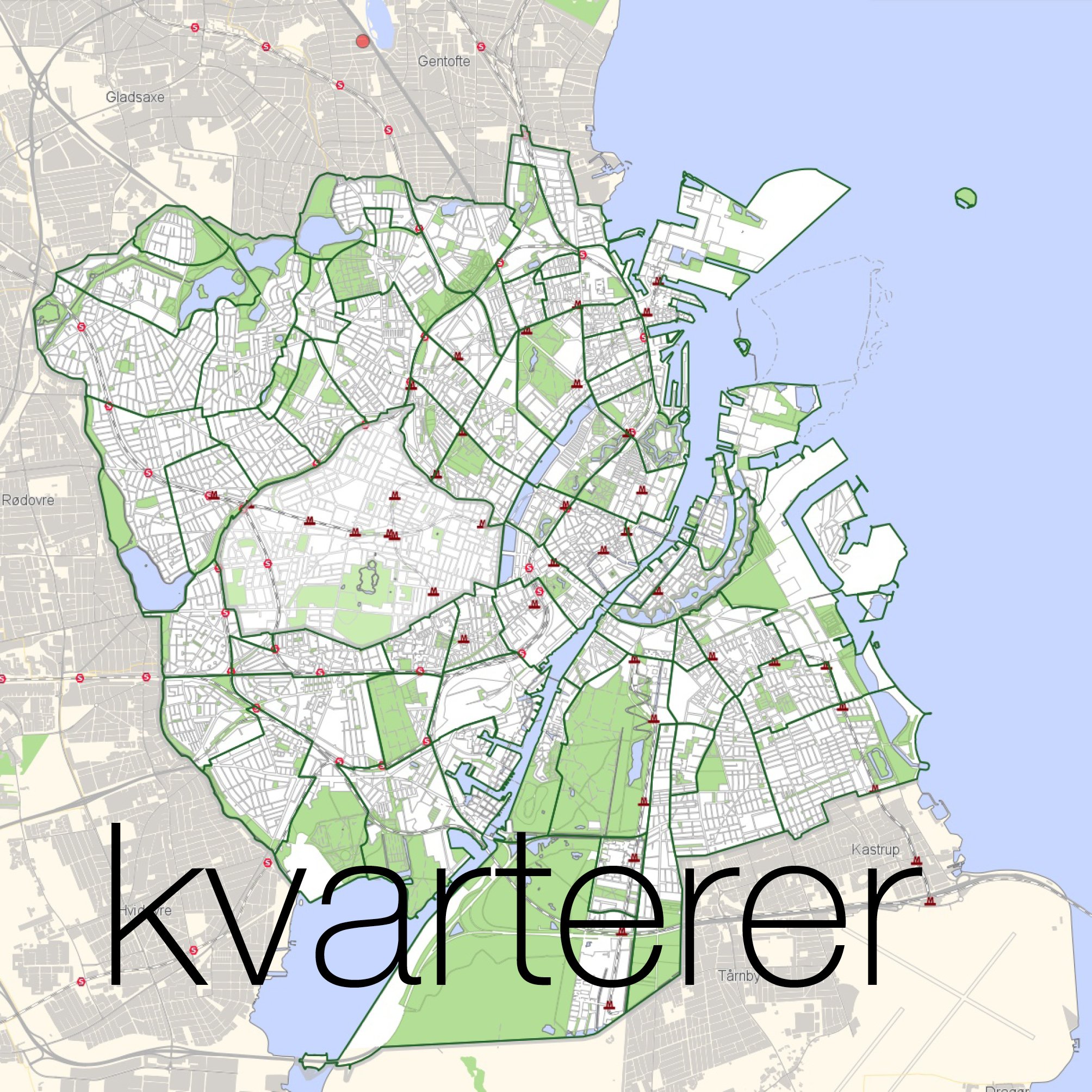
the area shown here is 4.5 kilometres by 4.5 kilometres (3 miles by 3 miles) so about 20 square kilometres that includes the whole of the historic centre - what is called the Medieval City. The area of Vesterbro, at the bottom left corner, is one of the most densely occupied square kilometres in Europe

① Botanisk Have / Botanic Gardens.
A beautiful and peaceful park in the centre of the city.
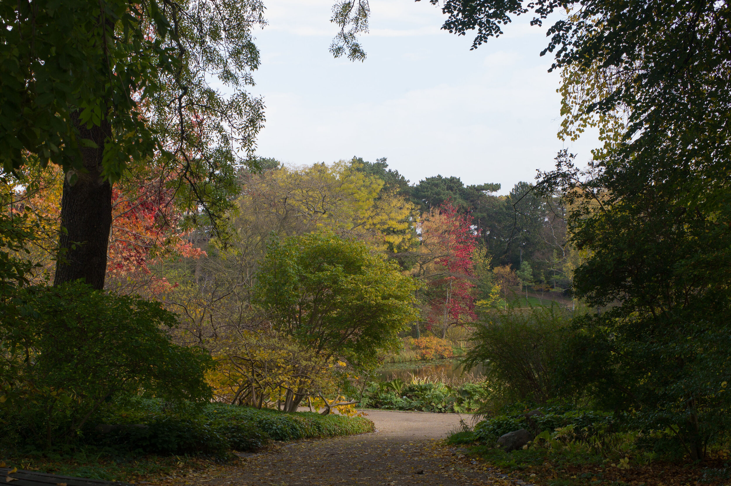
it is not natural because this area, including the lake, was man-made as part of the defences of the city but it is a place to see amazing specimen trees.
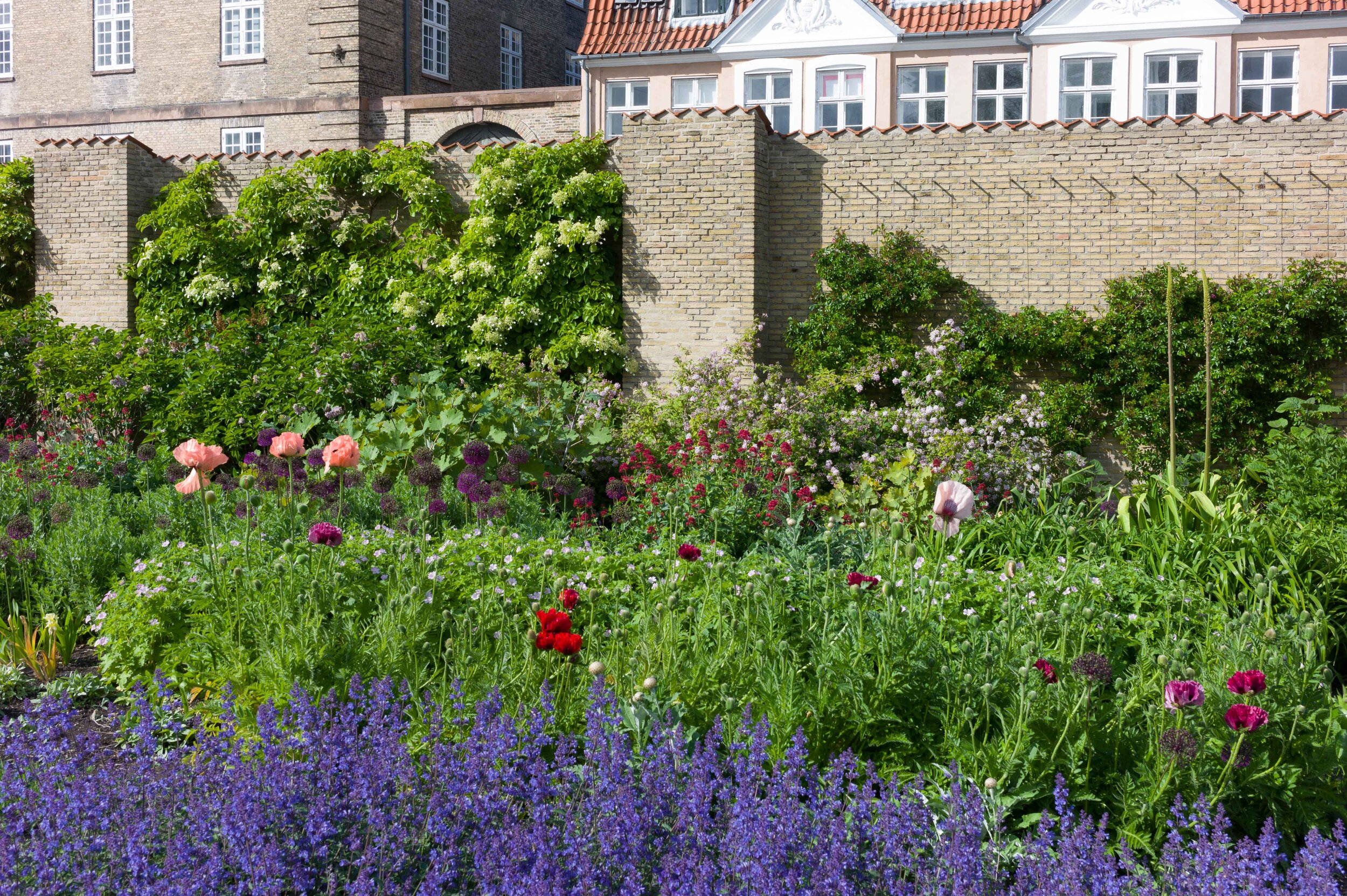
② Kongens Have / The King’s Garden - planted borders with a stunning display of plants - again not raw nature but horticulture at its best
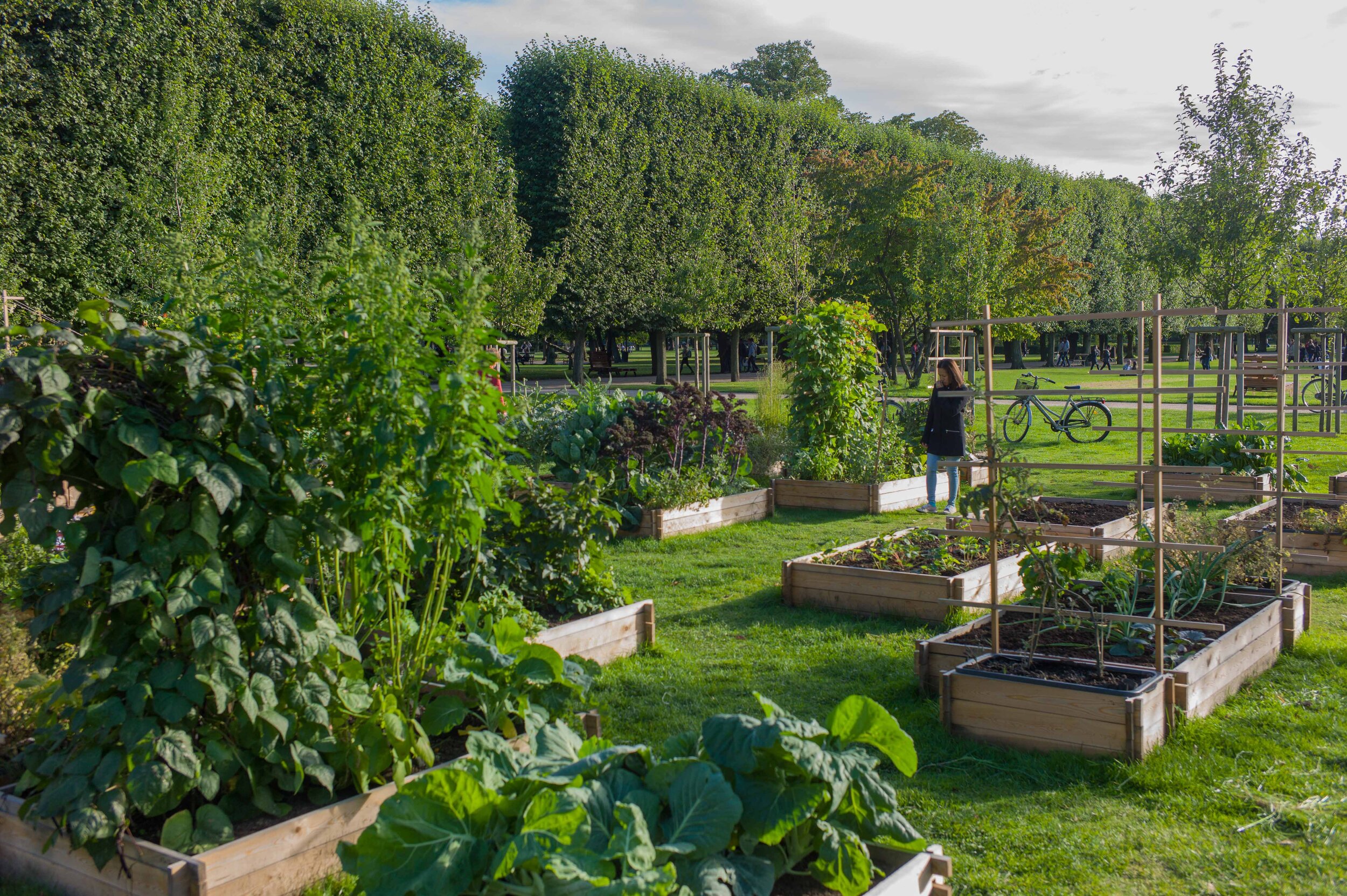
③ Raised vegetable plots in the King’s Garden
planted to help children learn about the cultivation of plants
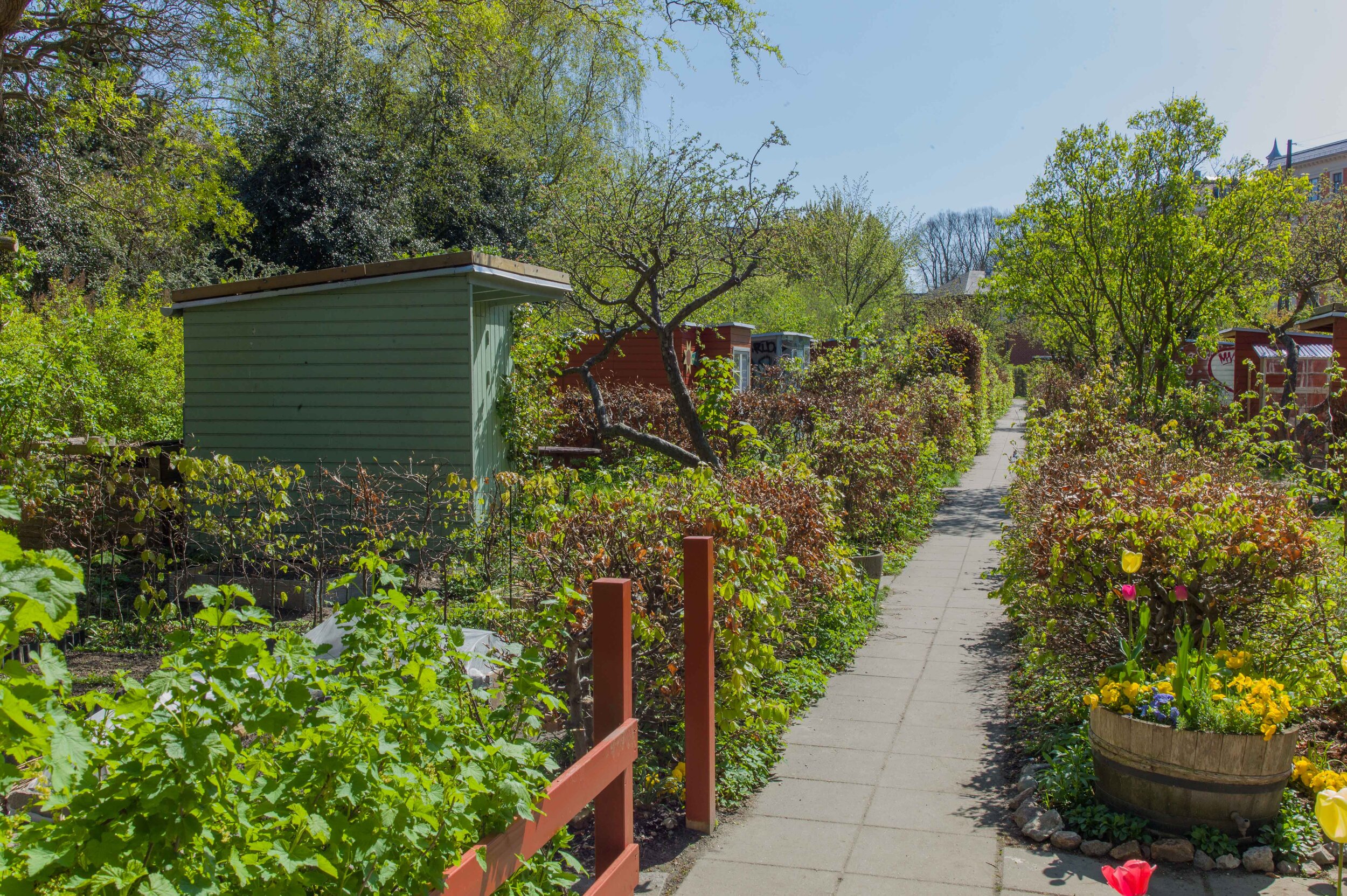
④ Garden plots on Guldbergsgade -
planted and maintained by local people from nearby apartment buildings
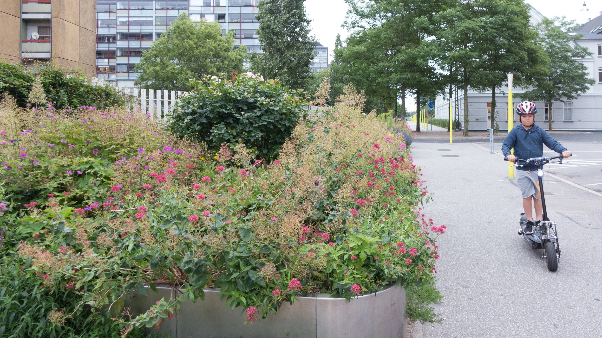
⑤ Planting at the start of Prags Boulevard … planting that softens the streetscape and establishes a more domestic scale
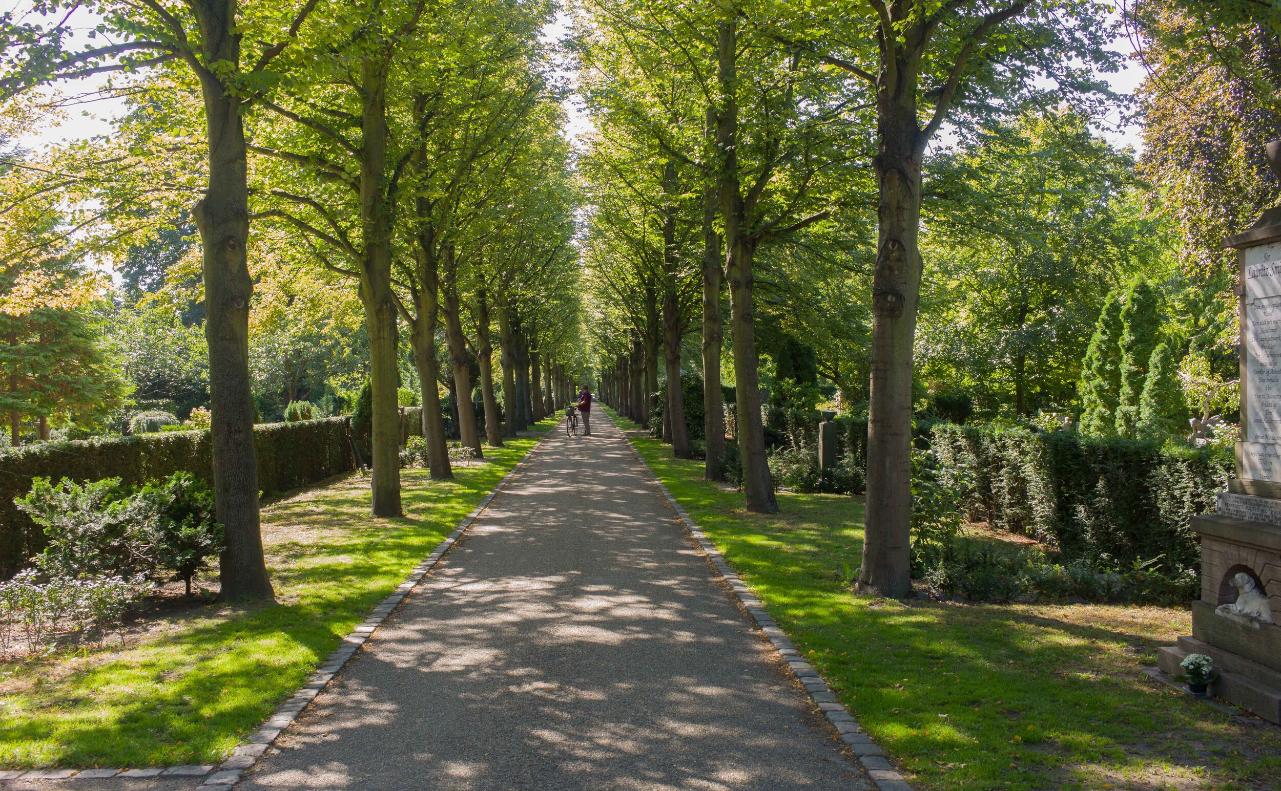
avenue through Holmens Kirkegård / The Cemetery of Holmen’s Church
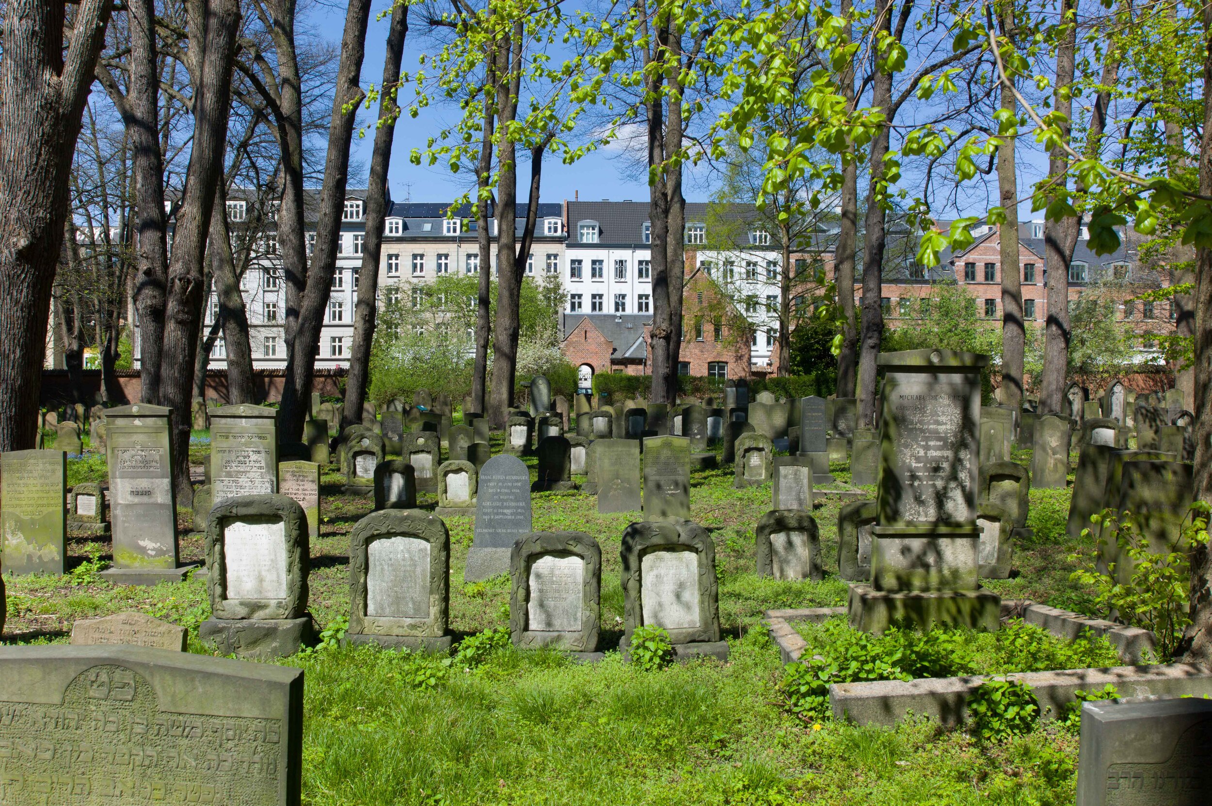
more natural growth of trees and planting in Den Jødiske Kirkegård / The Jewish Cemetery
trees on the man-made slope of an office development on Bernstorffsgade
Skydebanehaven - the gardens of the former Shooting Gallery
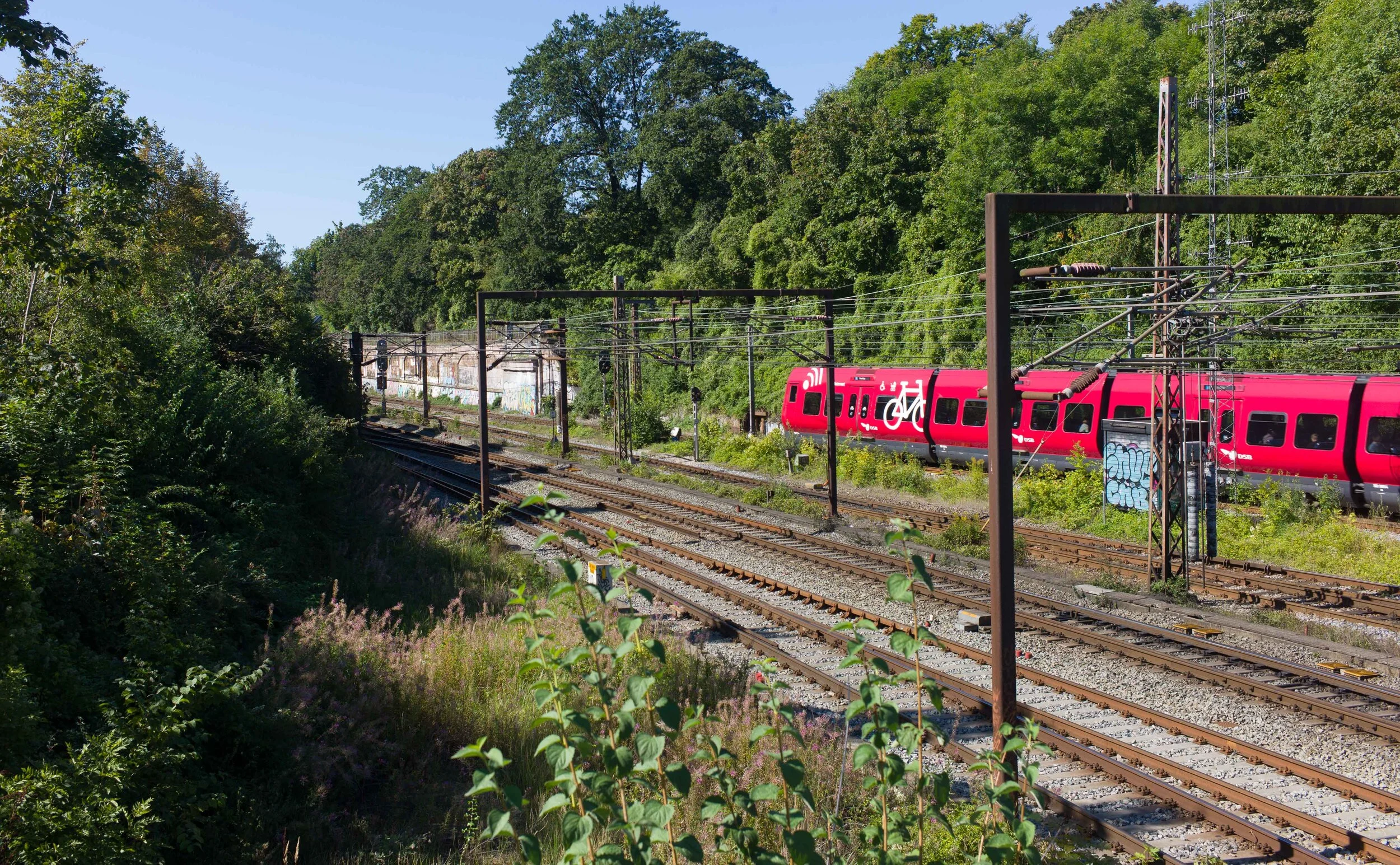
railway cutting near Østerport railway station where nature is allowed to take over the embankments
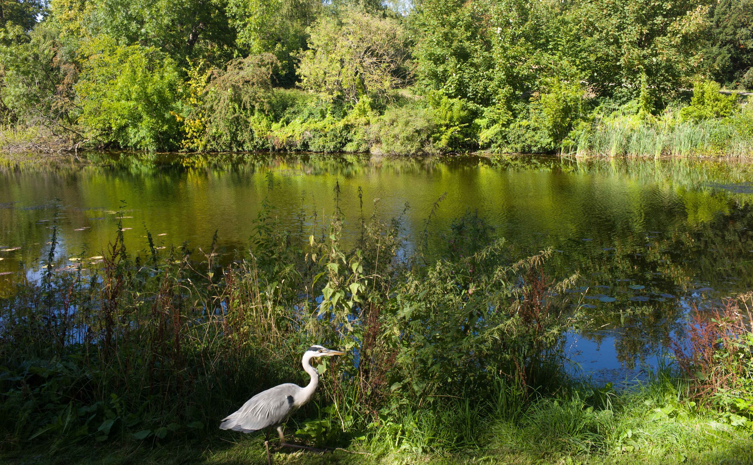
another part of the defences - here the lake just to the east of Statens Museum for Kunst / The National Gallery
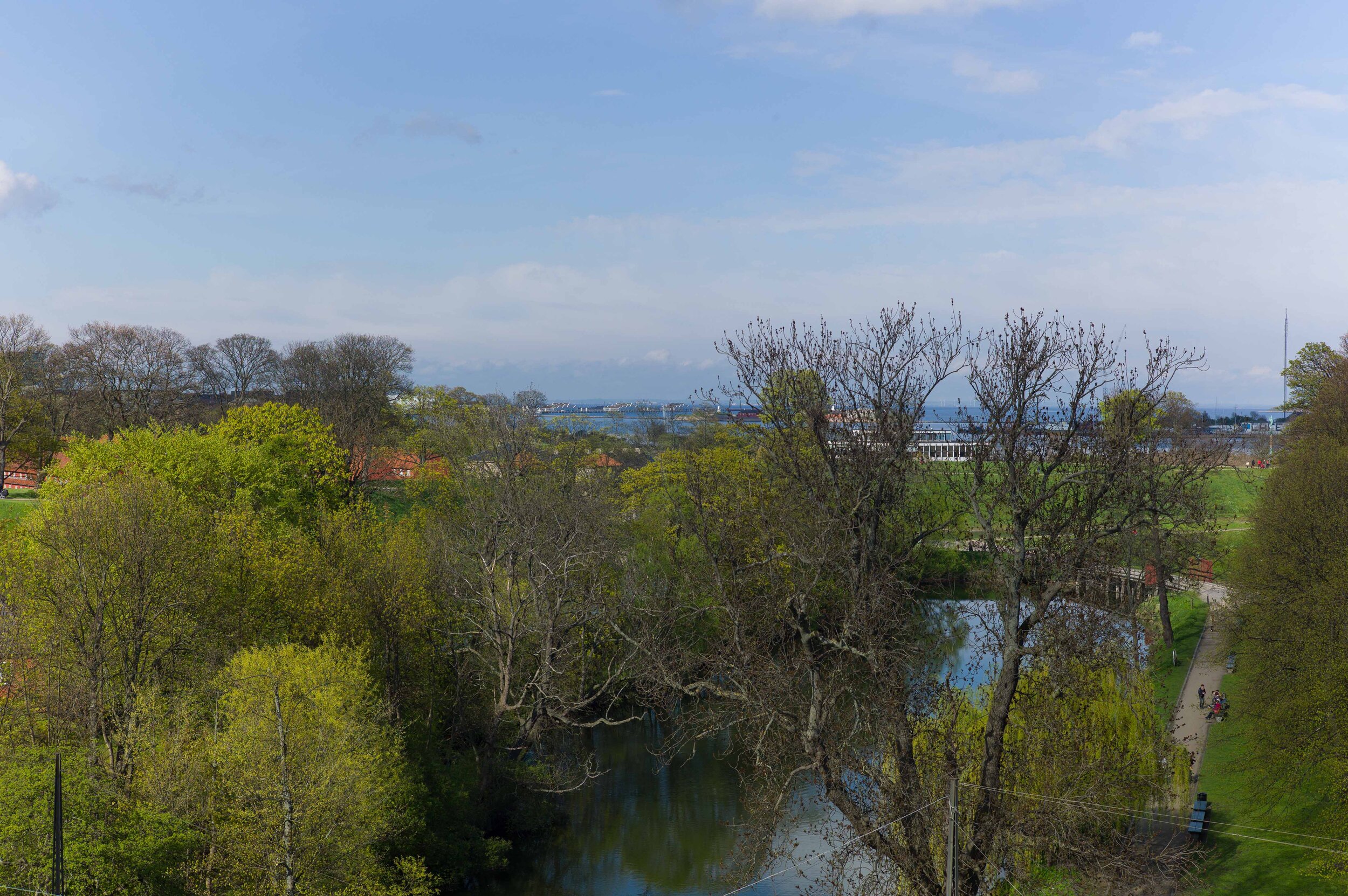
Kastellet -the Citadel - with a view to the sound and the coast of Sweden
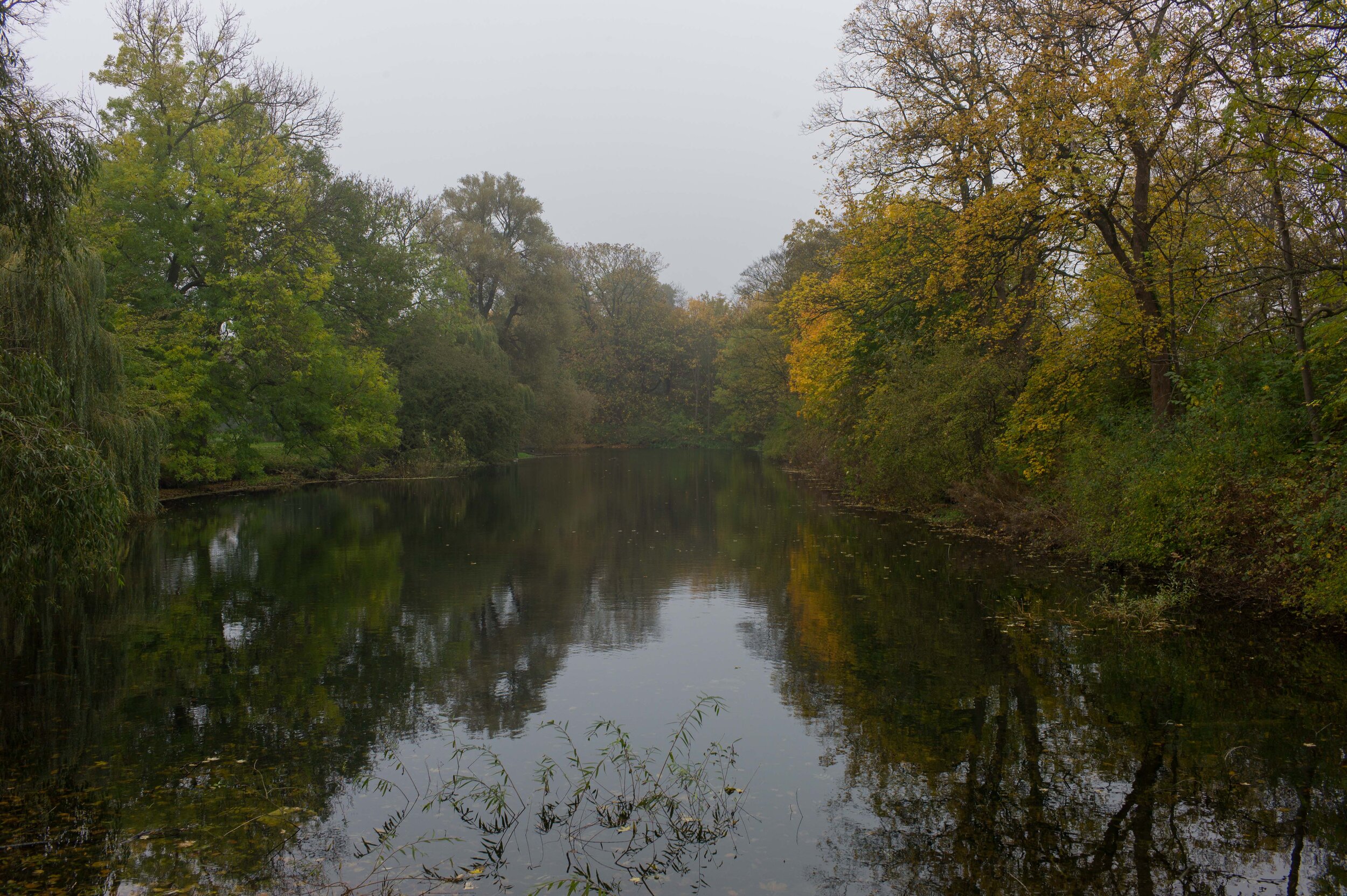
the west arm of the defensive ditch of Kastellet
the outer defences of Christianshavn
inside the defences of Christianshavn - it is difficult to believe this is just a
kilometre from the parliament buildings at Christiansborg
Kløvermarken - the open space immediately beyond Christianshavn - not nature but grass and open space that people need
Fælledparken - the largest park in the city with space for sport pitches and playgrounds but also a large lake and mature trees


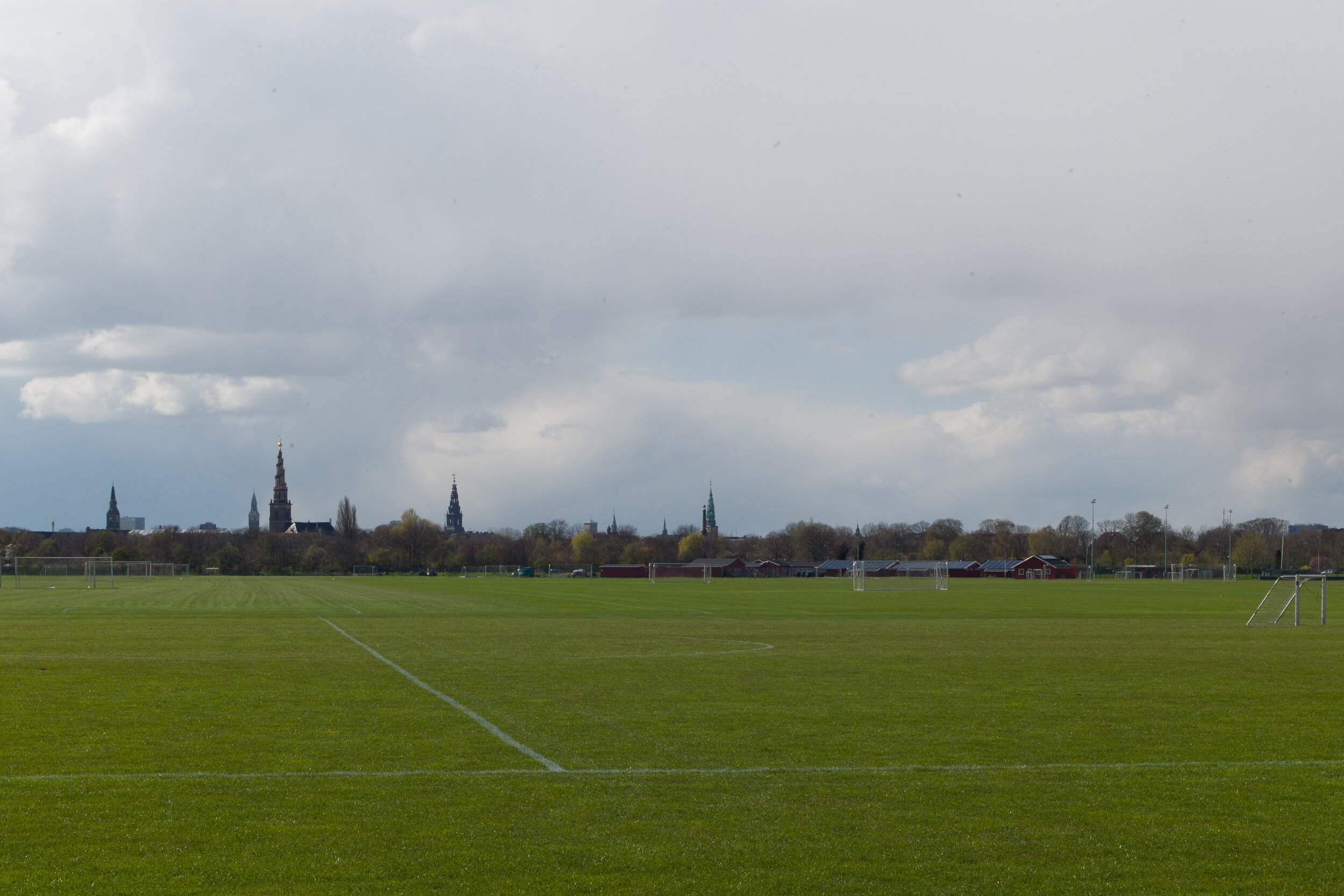
Kløvermarken ⑯ is an area of land at the north end of the island of Amager that is used for sport. It has never been built on and this view - looking towards the city - and that skyline has barely changed since the time of Christian IV.

Over the last 400 years, perhaps the most significant change is that much of this area would have been marsh or wetland and the king would not have tolerated so many trees on the banks and bastions of the defences because the army of an enemy, attacking the city from the Amager side, could not only be seen but would be more vulnerable because they were out in the open.

Nature is not just about grass and trees but also about space and open sky.

This woodland is immediately north of Klampenborg - so 10 kilometres north of the centre of the city - and can be reached easily by train.

Again, it is not ‘natural’ landscape or rather it is not nature of the raw and wild sort because it has been carefully managed for centuries as royal forest for hunting but, for people from the city, this now provides a place to experience nature with the peace and the space to be quiet and alone in a natural environment.


update .... the opera house gardens

Recently there have been articles in the press about the plans for a new underground car park on the island immediately to the south of the opera house.

The main concern now seems to be about the disruption from heavy lorries removing soil from the site and then traffic for the construction work and this would be at the same time as the work that has barely started on a major redevelopment of the nearby Papiroen/Paper Island site.

One suggestion has been that material from the excavation could be removed by barge but there is no obvious place to take this waste at this time.

The problem that is perhaps as much of a concern that should, perhaps, be more widely discussed is the form of the new planting for the new park once the underground car park has been constructed.

Natural, woodland-type planting, with informal groupings of trees is suggested in the drawings and the photograph taken in the botanic gardens in Copenhagen shows just how attractive the careful arrangement of specimen tress can be but this is a difficult site in that it is primarily urban and maritime. Would a ‘natural’ arrangement of large trees undermine the character of a site that is at the centre of the city and still very much at the heart of the harbour or does that not matter?

post on the Opera House park on 6 September

Fælledparken / Fælled Park


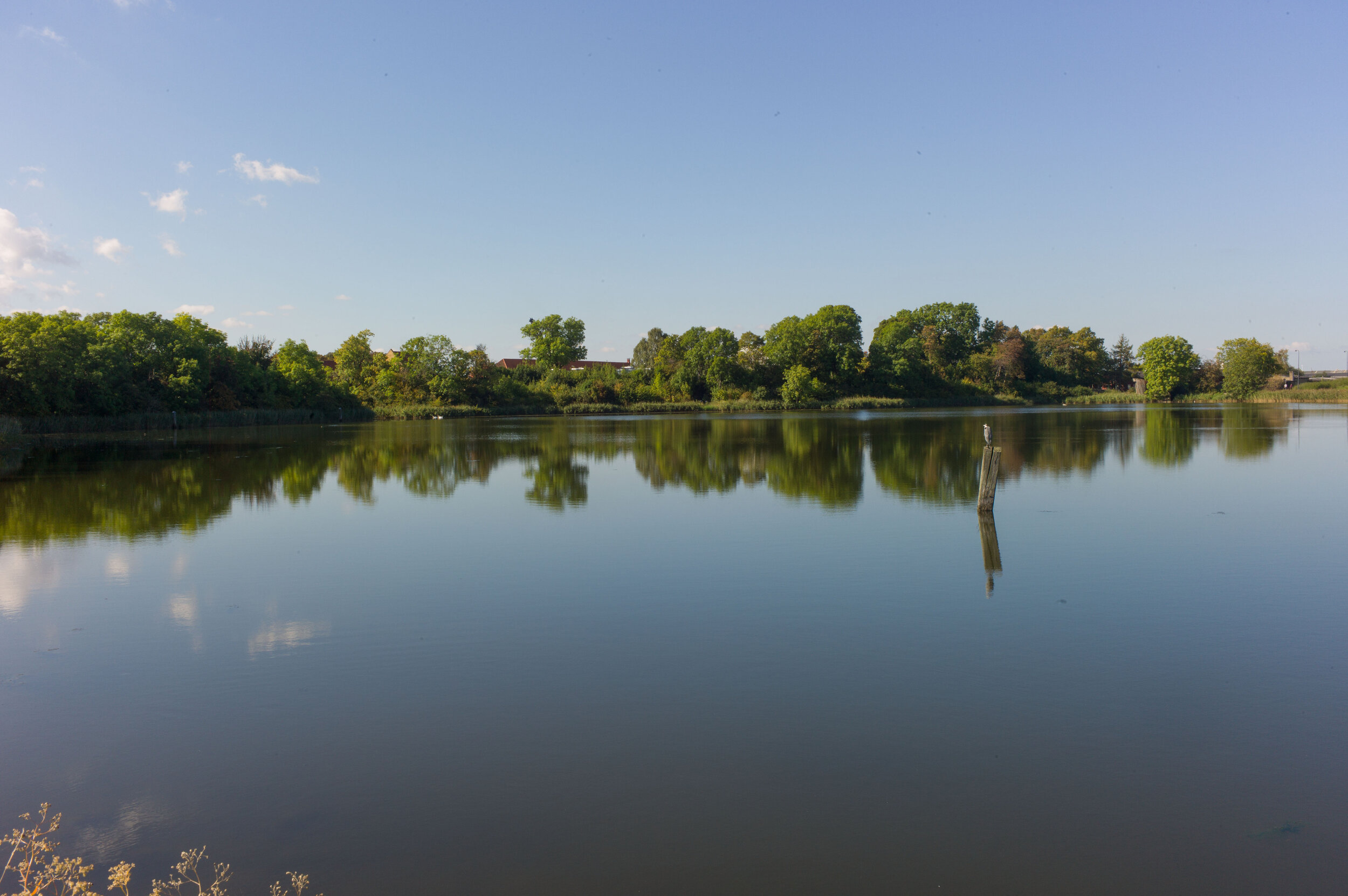
Until the late 19th century this was a large area of open land on the north side of the city that was outside the defences and beyond the lakes. 

A well-established highway - the road from Copenhagen to Hellerup - running out from the east gate of the city at Østerport - defined or marked the east boundary. There were a number of houses and villas on both sides of the road from the 18th century but, through the 19th century, more and more plots along the road were developed and built on and, with the completion and opening of the Freeport in 1904, the area east of the open ground became a densely-built area of housing - the suburb of Østerbro. 

On the west side of the open ground was Nørre Allé that continued on to the important royal highway that was the road to Lyngby and from there to the royal castle at Frederiksborg. Across the south or city side of the open area, is Blegdamsvej that is parallel to the lakes but two blocks or about 160 metres back from Sortedams Sø and linked Østerbrogade - the road to Hellerup - and the square at Sankt Hans Torv and beyond the square to the main road north from the north gate of the city.

In the 18th century the central area of the open land was a large bleaching ground - marked Beege Dams Köppel on a mapp of 1770 and shown with posts around the edge that were presumably strung with lines for the drying linen. Bleg, as in the street name Blegdamsvej, means pale. By the 19th century, the open ground to the east was a military area called Østerfælled or East Field with barracks at Østerfælled Torv built in the 1880s and those buildings survive but have been remodelled as apartments and shops.

By the late 19th century more buildings had encroached on the open land. The most famous, in terms of architecture and the history of housing in Copenhagen, are the rows or terraces of Brumleby that were completed in 1872 for the The Medical Association … new housing built as overcrowded courtyards and small dank apartments in the city were cleared following the major outbreak of cholera in 1853. 

South of the houses is a power station designed by the municipal architect Ludvig Fenger and Ludvig Clausen that was completed in 1902 and an impressive Post Office building designed by Thorvald Jørgensen that was completed in 1922.

The south-west part of the open space was used for a new hospital - Rigshospitalet designed by Martin Borch that was completed in 1910 to replace the Royal Frederiks Hospital in 18th-century buildings now occupied by Designmuseum Danmark. Further land along the south edge - along Blegdamsvej - had been parcelled up for building so the area was certainly threatened with further development.

Mayor Jens Jensen was the prime mover for protecting what remained of the open area for public use by creating a park here. The first trees were planted in 1909 and the park was completed by 1914 with Edvard Glæsel as the landscape architect in charge.

The park is used now for major outdoor events including political rallies and for sports - particularly football as the national football stadium is on the east side of the park - and there are a large numbers of pitches marked out for public use.

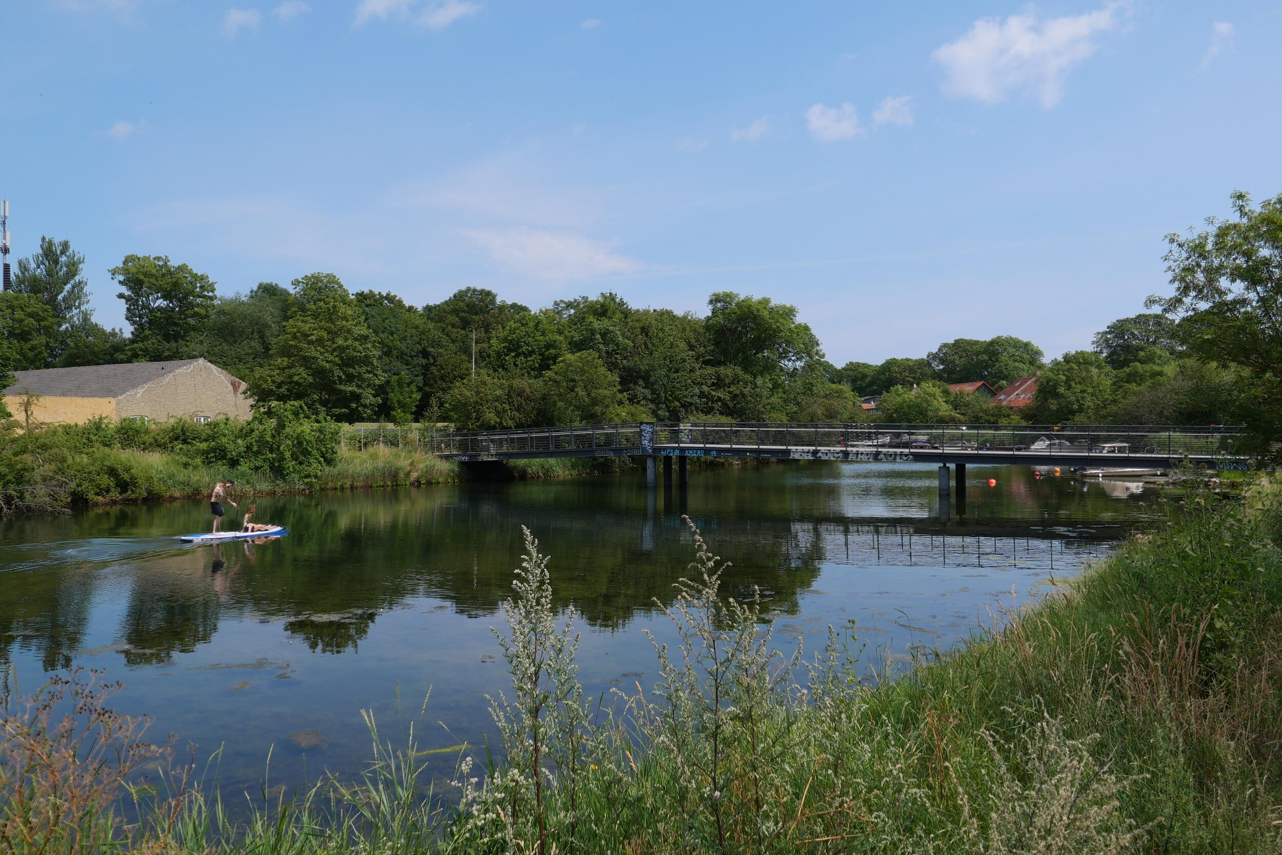
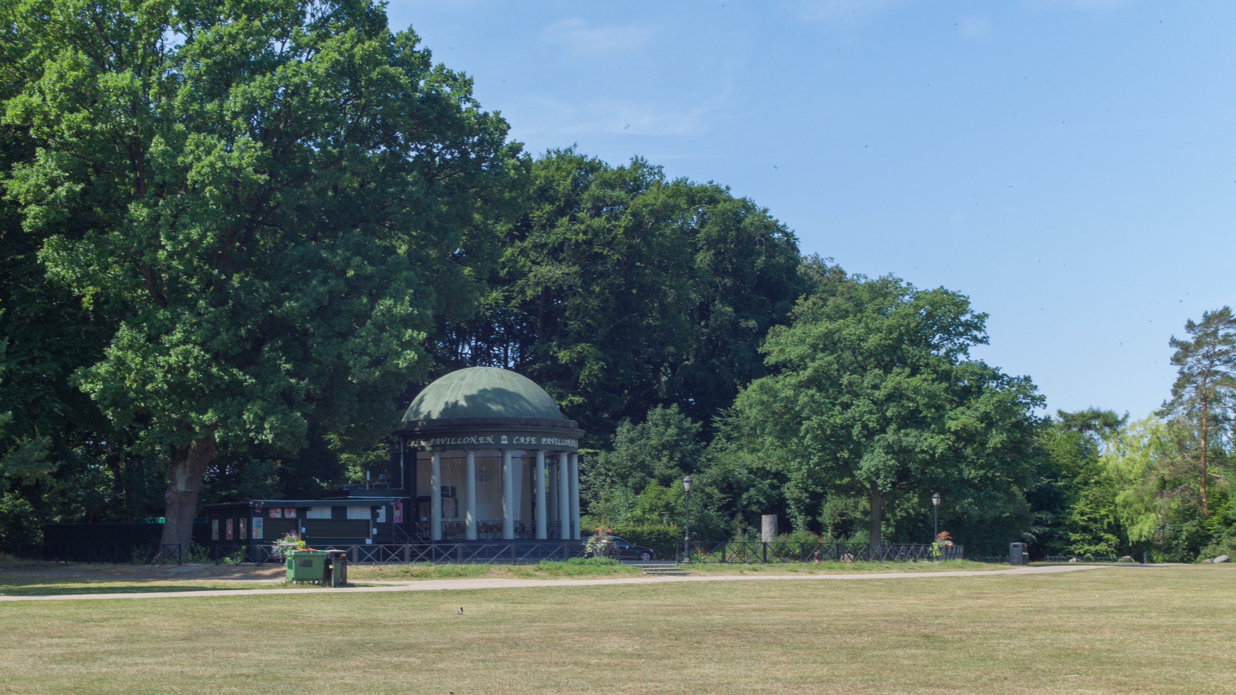
Towards the north end of the park is a large lake and around it denser planting of established trees that forms an area of pleasant walks and glades with picnic areas. 

A substantial amount of money was invested in remodelling and improving the park in 2011/2012 and now, around the park, are a number of well-designed play areas, including a large skate park and an enclosed and safe area - Trafiklegepladsen / Traffic House - that is laid out as roads and junctions where children learn to ride bikes.

Fælledparken is popular and very well used.

Fælledparken - the entrance from Trianglen

Fælledparken in 1908


the national football stadium from the park