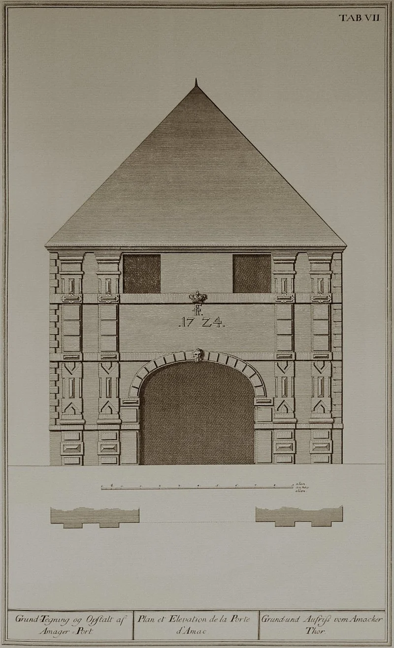
Borgen / the Castle

Absalon, Bishop of Roskilde, came from a wealthy and powerful family and owned land in this area. In 1167 he built a fortress here on an island just off the shore and parts of that castle survive below the present palace of Christiansborg.

That first castle was roughly circular in overall plan with a high outer wall built in stone with limestone from Stevns Klint, cliffs south of Køge across the bay from Copenhagen. These first outer walls were about 5 metres high with stone blocks on the inner and outer skins of the wall but with the core filled with mortar and rubble including large smooth boulders taken from the sea.

Several shaped and carved stones, which appear to have come from a stone-vaulted chapel, have been uncovered in archaeological excavations. These are of a high quality … the stone being sandstone that was brought over from Scania. Other buildings within the wall were probably first in timber and then later in brick.

Brick was more common after the end of the 12th century. The Bagerttårnet - or Baker’s Tower - was a large square tower that was added on the west side of the castle and projected out beyond the curtain or outer wall. The base of the tower can be seen below the inner courtyard of the present building and has the remains of a toilet shute on its north side suggesting that the tower may have had lodgings on the upper floors.

Also excavated and shown in the museum are water wells and oak and iron water pipes. It was crucial that the castle could be self sufficient if and when it was under attack.

On the death of Absalon in 1201 his property passed to the Abbey at Roskilde and remained with them for more than 200 years until, in 1417, the castle was taken by the King.

In 1368 the castle had been attacked by soldiers from the Hanseatic towns of North Germany and captured and in the following year 47 Hanseatic masons were sent to dismantle the castle which they left in ruins.

Work on a new castle on the same site started almost immediately and was completed by 1387. This in turn was enlarged for in 1445 the great Hall on the north side of the castle was extended.

From 1552 extensive work enlarged the royal wing out over the moat and in 1596 Christian IV heightened the Blue Tower on the east side of the castle which, with its ornate roof, was one of the most prominent features shown on drawings of the castle in the 17th and early 18th century.

Models on display in the museum, in the undercroft of the present palace, shows how complex the castle was in its later years with lodgings, galleries and towers tightly grouped around the courtyard.

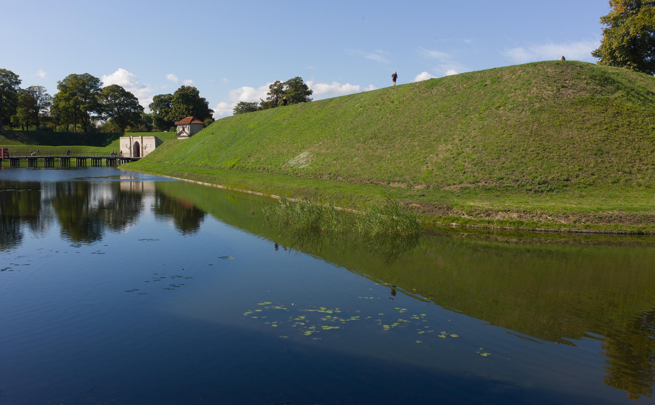
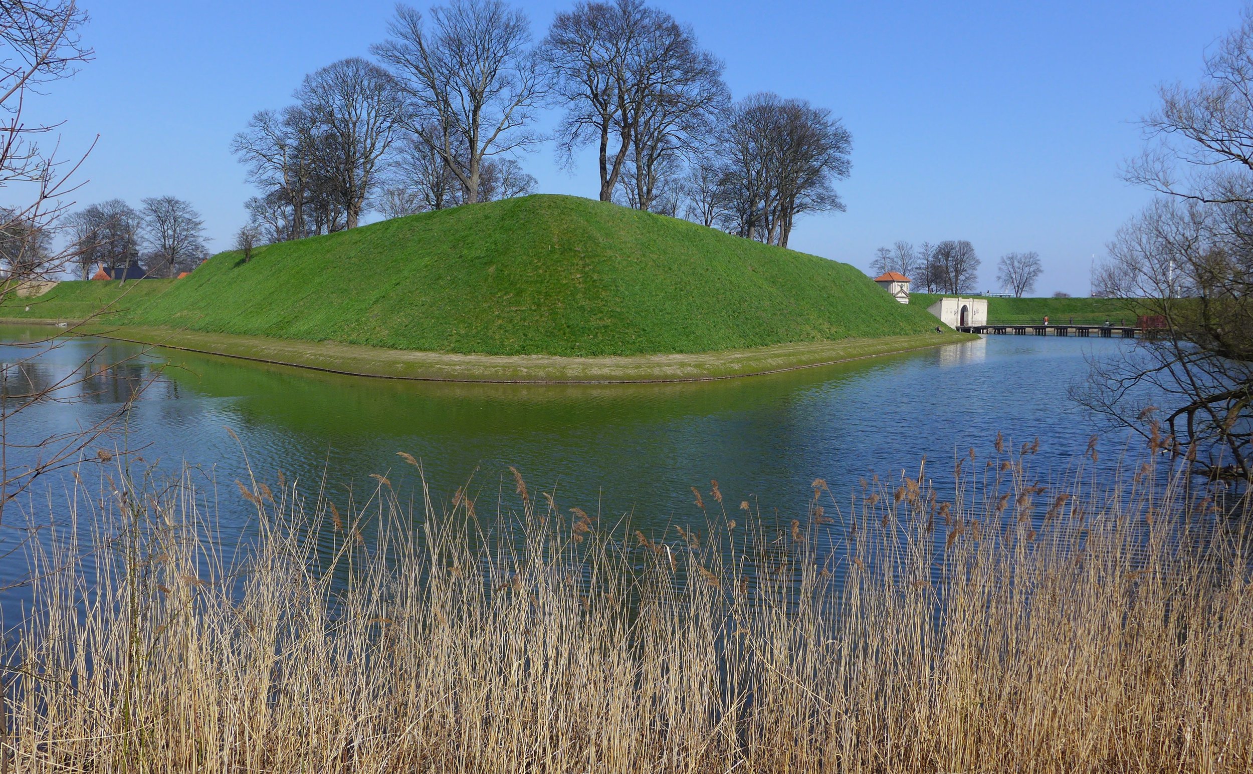
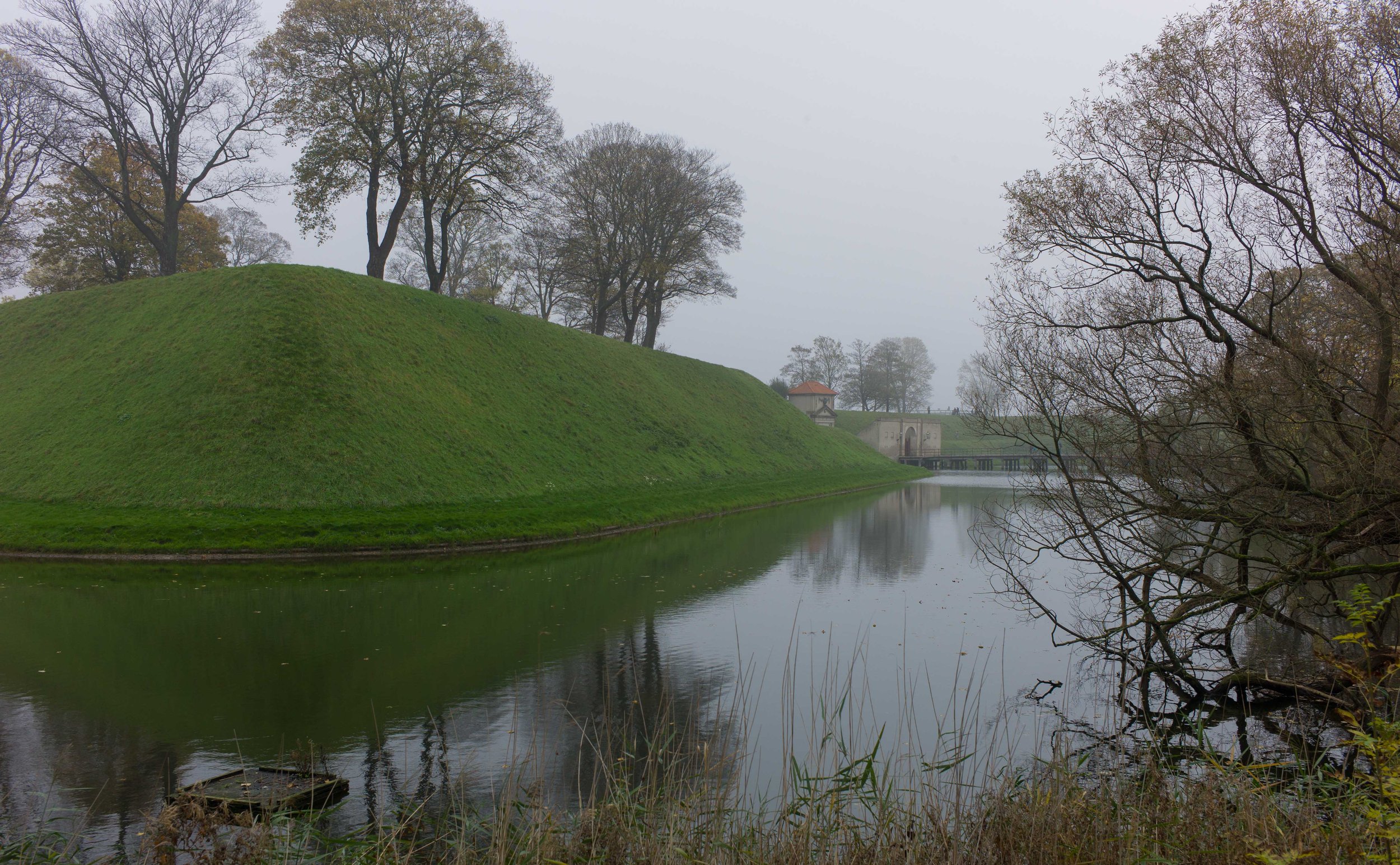
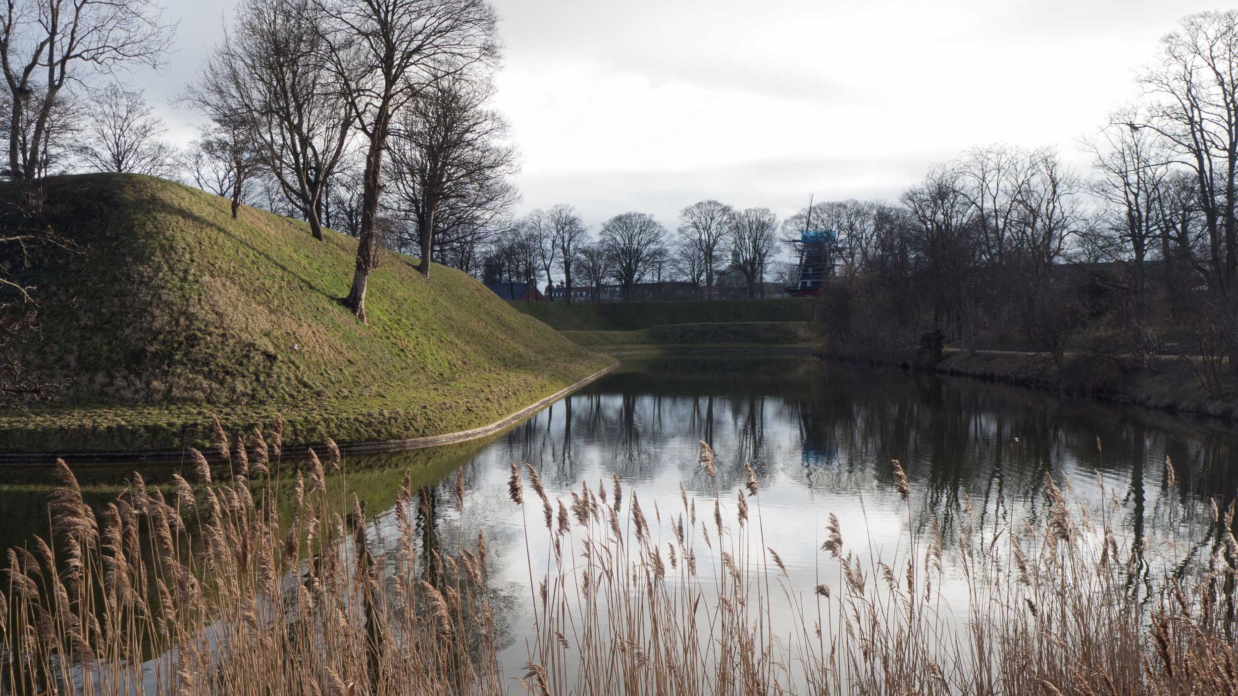
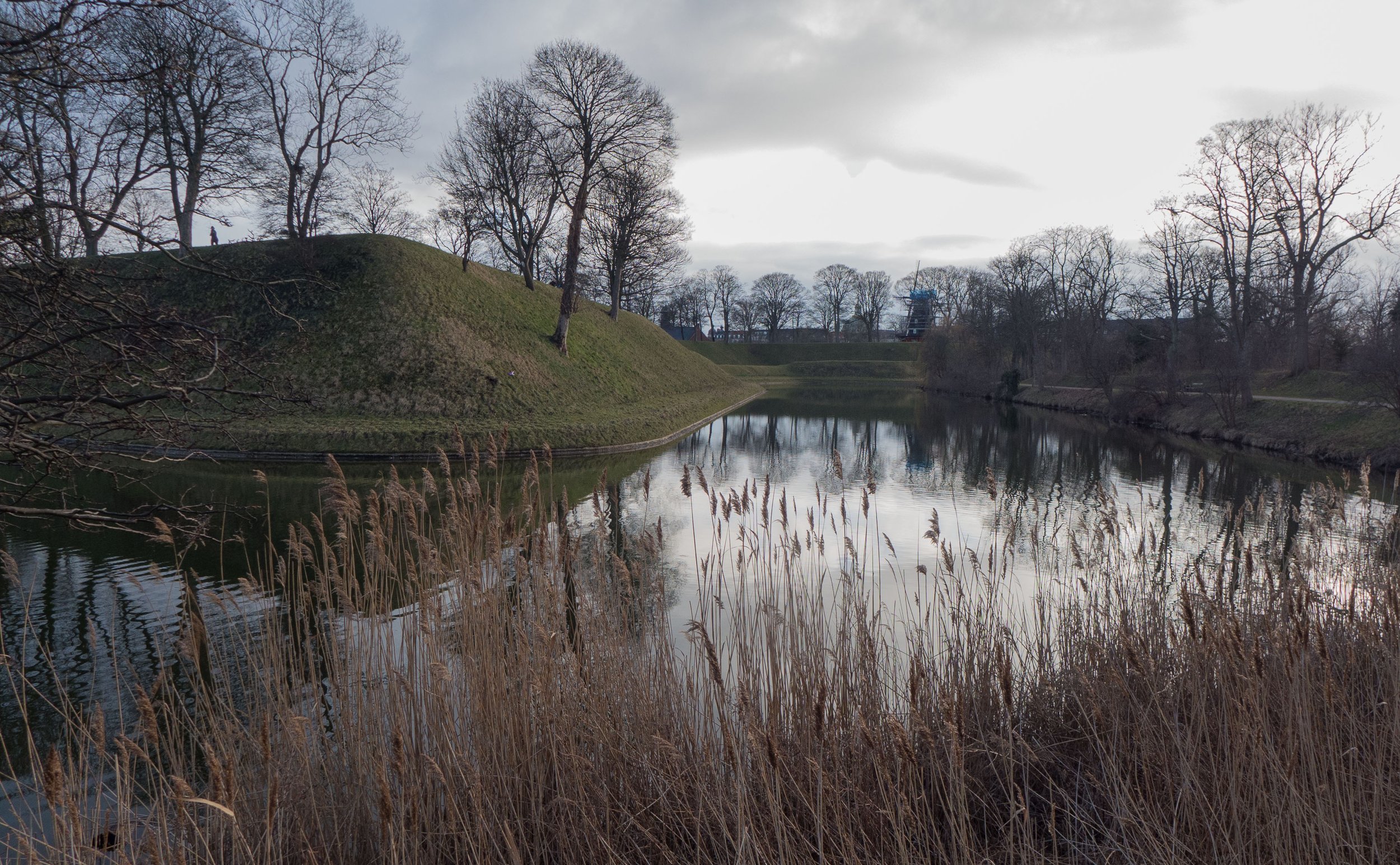
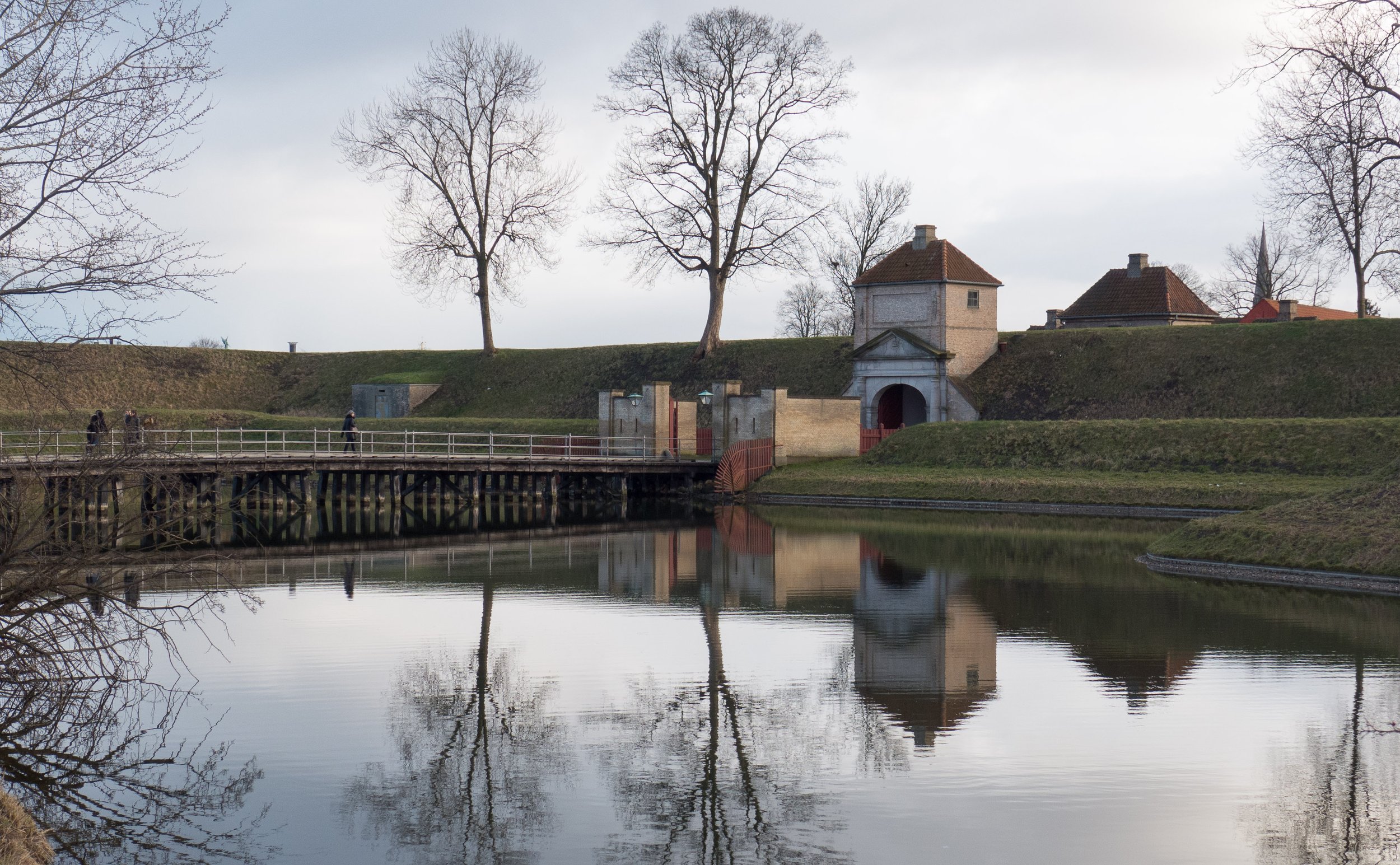
The small island of the original castle had been enlarged, building out across the water for an outer court on the east side, tilt yards, stables and for buildings military and naval stores although the original circular shape of the inner castle survived with what was by then a circular inner moat with a bridge on its east side and an outer gate house for the main entrance from the city. 

By the late 17th century, the castle must have appeared to be cramped, damp and old fashioned and in the 1730s the medieval and later buildings of the castle were demolished to build a large new Rococo palace around four sides of a large square courtyard and with an outer court and stables to the west. That palace was destroyed by a fire in 1794 and a new palace was completed in 1828 but in 1890, there was another disastrous fire and again the castle had to be rebuilt.

The foundation stone for the present building was laid in 1907.

the castle in the 17th century

the castle in 1698

the Palace of Christiansborg … the second great palace on the site of the medieval and Renaissance castle in a drawing of 1827

Kastellet

the wooden bridge over the moat and the south gate - the King’s Gate

Kastellet, the citadel in Copenhagen, is a well-preserved, star-shaped fortress that was built in the 17th century. It was over a kilometre east of the old east gate of the city to guard the approach to the harbour but there was also a clear view across the sound.

Work started in 1626, in the reign of Christian IV, with the construction of Sankt Annæ Skanse - St Anne’s Redoubt - and work continued through to the 1660s. Even as construction progressed there was a series major remodelling and improvements - particularly after the Swedish Army attacked the city in the war of 1658-60.

The complex of defensive embankments, moats and military buildings were ostensibly complete by the 1720s in the arrangement that can still be seen today. 


The main central area has five bastions (1-5) where embankments about 20 metres high rise at a sharp angle from an inner moat. Outside the main inner moat and bastions there are outworks with four ravelins (6-9) and three counter guards (10-11) that on the land side of the citadel form a narrow bank between the inner and an outer moat. This is known as Smedelinien - the Blacksmiths Line - as the works included two forges. The embankments (13) here are much lower so they do not break the line of fire from the top of the main bank but are high enough to protect an inner pathway, on the side towards the inner moat, so that soldiers could be moved quickly to a point under attack but would have some protection from the fire coming from an attacking force outside the fortress.

Outer redoubts (14-16) beyond the outer moat on the north side were constructed to provide a first line of defence for any attack from the land.

There are two gateways for access into the inner area and both with an outer redoubt to guard the approach to a first bridge that crosses over to a ravelin - a triangular island with outward angled faces to allow for protecting fire from there across the outer moat. From the inward facing base of the island a bridge crosses to the gatehouse proper. The two bridges were not in line so anyone attacking and crossing the first bridge could not fire directly towards the gate.

Both gateways have long narrow tunnels through the embankment and again set out to contain and control any attack.

The south gate from the city is called the King’s Gate (17) and the far or north gate is the Norway Gate (18). Both were constructed in their present form in 1663. Immediately inside both gateways were guard houses and pathways set at an angle to give access to the top of the embankments.


It is the scale of earthworks that is so impressive. The citadel is 550 metres from the approach to the King’s bridge to the far side of the moat beyond the Norway Gate and the walk around the outside of the moats is 2.5 kilometres.

Clearly work on such a large scale meant complex setting out and then levelling of the ground and the construction of major earthworks and water works on this scale would have required the expertise of an engineer. Records show that from about 1616 a Dutch engineer, Johan Semp was employed by Christian IV to draw up a plan for Christianshavn and its defences so some foreign expertise was available although it is thought that Semp returned to the Netherlands in 1620 so could not have supervised directly the work at the new citadel. The Danish army would have included military engineers - who were required for setting out trenches in a battle, planning attacks on fortified sites or improving defences - so presumably Danish military engineers would have been involved in setting out and supervising the construction of the earthworks of Kastellet.

Henrik Rüse, another Dutch engineer, was certainly employed here after 1660 and was responsible for the design of the barracks and store houses.


An early map, above, dating from the middle of the 17th century, shows what appears to be a harbour within the defences that was oval in shape and was entered through a narrow channel from the sea and with a breach in the embankment at the centre on the east side. It was in the area of what is now the commander’s house that was built in the early 18th century after the internal dock had been filled in.

A map of the city in 1685 is important because it shows Kastellet in it’s final form. There were still some areas of water within the defences - two long rectangular ponds shown running north south immediately inside the east embankment - but by then with no way through from the sea. In the centre, between the areas of water, is a narrow causeway running out to where there is now a tunnel through the embankment. Were these areas of water for a fresh-water supply for the fortress or could they have been fish tanks for a supply of food to last through a siege?

A new city gate, with an east bridge over the outer defences of the city, was constructed at Østerport. (19) It was just below the citadel and had the same arrangement as the gates to the fortress with the first bridge crossing to a Ravelin and from there, set on a different alignment, a second bridge across to the gateway itself for access to the city. As at the other gates into the city in the 17th century, there were guard houses on the ravelin.

What is also important to note is that Kastellet was not, at that stage, as land locked as it appears to be now. The line of the promenade along the shore and the construction of the Free Port to the north, just over a hundred years ago, have encroached on the defences. In the late 17th century there was just a narrow outer defence between the sea and the east embankment … presumably to stop attacking war ships from sailing right up against the east embankment to bring canon and men in to attack from a higher level … and the north-east side of the fortress looked out northwards over the sound to defend the approach to the harbour. The map also shows Christianshavn and its earliest extent so that is before the extensive yards and docks of the naval base were built across the north shore of Amager between the new town and the sound.

A map of 1835 - only twenty or so years before the defences around the city itself were dismantled - shows the final development of the defences around Kastellet with the naval base and the shipbuilding yards of Nyholm opposite Kastellet with their own embankments and bastions to protect the Amager side of the harbour and with a gun emplacement that faced out to the sound.

The harbour entrance was narrow so it was easier to protect and fortresses on islands out in the sound prevented enemy vessels getting too close without, at least, being able to return some defending fire. A redoubt further north up the coast covered the shore across the ends of the outer lakes so an enemy would find it difficult to land between the inner and outer defences of the city.

Kastellet in 1685

Kastellet in 1754

Kastellet in 1835


There are a number of important buildings within the Citadel.

The rows, the Stokkene or barracks, are six long blocks that were constructed in the early 18th century as part of the work by Henrik Rüse. (22-27) These housed the garrison in dormitories that were four metres by four metres each with two triple bunks, a table and two benches.

Initially the commander occupied the rooms at the south end of General Stock but then was given his own and certainly much grander accommodation facing the church.

The garrison here had 1,800 men and survey drawings from the middle of the 18th century provide evidence for the arrangement of the kitchen, bakehouse and brewhouse that were required. The north east barrack has a large chimney stack just in from its south end which indicates a service room and on the west side of the north Magasin is an addition with large windows for a high space rising through two floors so possibly another service room ….. cooking and baking and brewing all generated a lot of smoke and heat so higher ceiling heights helped to create a better space in which to work. 

In 1704 a church (28) was built on the west side of the central parade ground and in 1725, curiously, a prison (29) was added across the back of the church with small internal windows in some of the cells that look down into the church for prisoners to follow the service. There are records for some prisoners being held here for long sentences of many years if not decades.

Also in 1725, a new house for the Commander (30) was built opposite the church with the design by the architect Elias Häuser.


the church opposite the Commander’s House - on the far side of the central parade ground

the central door into the church

the house of the Commander by Elias Häuser


With the distinct possibility that the garrison here would have to withstand a long siege, there were substantial store houses constructed, in form like contemporary warehouses in the main harbour and included a granary to the north of the church, Nordre Magasin, (31) and an arsenal (32) south of the church known as Sodre Magasin.

In 1712 gunpowder stores were built in the Queen’s Bastion and the Count’s Bastion (2 and 3) and both had massive thick walls and were tightly encircled by high embankments in the hope that if there was a fire and an explosion then the force of the blast would go up rather than out ..… in the 16th and 17th centuries gunpowder was unstable and there was always the threat of a major and devastating accident.

There were two forges within the defences - a forge on Funen’s Ravelin (8) and a forge on Falster’s Counter Guard (12) built in 1709 but rebuilt in 1888. Presumably these forges were used as workshops for repairing weapons including the gun carriages.

There is no obvious evidence within the present buildings for stables … presumably the garrison did not include cavalry but the Commander at least must have had a horse and probably a carriage and there must have been carts pulled by working horses for moving armaments and stores.

In a siege, fresh food would have been in short supply but the crucial requirement were water and flour. A windmill on the King’s Bastion (1) dates from 1847 replacing a windmill of 1718. Grain would have been stored in the warehouses and it would have been ground as and when flour was needed.

windmill on the King’s Bastion

the gunpowder store (top)
looking north from just inside the main gate from the city
from the front of the commander’s house looking towards the Norwegian Gate


Later work

The church was restored in 1985 and the embankments were restored and sections of the moats, that had been filled in, were reinstated in 1998-9. Work on drains to deal with storm floods were undertaken in 2019 and 2020.

A railway had actually been built through the east side of the citadel. It ran from the main harbour dock - from close to the Customs House - crossing just above the level of the water in the moat to the south-east bastion which was breached for the railway and the tracks then ran due north behind the commander’s house before cutting through the embankment, just east of the north gate, and entered the area of the quays and dock buildings of the Free Port.

The railway closed in 1985 and the engineers Jeppe Aagaard Andersen restored the earthworks so there is now little to indicate that the railway was there although an ornate ironwork bridge from the Gefion fountain across to the Langelinie promenade had been built to get people over the rail tracks and that survives and on the other side of the citadel the road used now by tourist coaches to take people to see the Little Mermaid actually crosses over a second rail bridge although the train tracks became redundant thirty years ago.


Map showing the Free Port and the railway from the main harbour that cut across the east side of the Kastellet. Note, when this map was produced, Østerport was a terminal for the railway from the north. It was only in 1917 that a series of cuts and tunnels were constructed so that trains could continue through to the central station.


View from the quay of the harbour looking along the route of the railway where it went under the iron footbridge, crossed over the moat and was taken through the embankment of the south-east bastion

View from the embankment looking north along the route of the railway that went over the moat here and under the road bridge before continuing on to the Free Port beyond


key to the map:

1 King’s Bastion with the windmill
2 Queen’s Bastion with gunpowder store
3 Count’s Bastion had gunpowder store
4 Princess’ Bastion
5 Prince’s Bastion
6 Norway’s Ravelin
7 Bornholm’s Ravelin
8 Funen’s Ravelin
9 Zealand’s Ravelin
10 Lolland’s Counter guard
11 Møen’s Counter guard

12 Falster’s Counter Guard
13 Blacksmith’s Line
14 Pinneberg’s Redoubt
15 Norway’s Redoubt
16 Hetland’s Redoubt

17 The King’s Gate
18 Norway Gate


19 Østerport
20 Østerport’s Ravelin 
21 Greenlands Bastion

22 Generalstok
23 Fortunstok
24 Svanestok
25 Stjernestok
26 Artilleristok
27 Elefantstok

28 Church
29 Prison
30 Commander’s House

31 Nordre Magasin
32 Sondre Magasin
33 Spitsbergen’s Lunette


Jarmer's Tower

Through the Middle Ages Copenhagen was protected by outer defences - initially a timber palisade but later substantial walls and towers. By the early 16th century there were eleven towers around the city but only one, the round tower at the south-west corner of the city at Jarmers Plads, can be seen now and only the lower part of the tower survives. It was covered over when an embankment was constructed to improve the defences in the 17th century but was excavated in the 1880s when the embankments on this side of the city were removed.

This tower dates from the early 16th century with a stone core to the thick walls but faced inside and out with brick. The outer face is decorated with large diamond shapes in the brickwork formed by carefully arranging darker bricks in the bonding. In England these darker bricks are called fired or burnt headers and were formed where bricks were stacked in the kiln to be fired and only the outer bricks of the stack, exposed to the flames and higher temperatures, changed to this dark, grey, colour.

The round tower had a doorway into the lower part from the town side but presumably upper levels were accessed from a walkway on the top of the wall.

17th-century embankments and moats

Historic maps can give a slightly distorted impression of the embankments and outer moats that were built in the late 17th century to defend Copenhagen because, simply from plans and drawings, it is difficult to appreciate the scale of the earthworks and to appreciate the extensive engineering work that was required for their construction.

Even walking through Østre Anlæg in the summer, the first impression is of a wooded valley with a wide lake, although this was in fact a section of the original outer moat, and the high embankment, on the city side of the lake, is one of the best preserved sections of the city defences.

If you look across the lake towards the city in the Winter, when the trees have lost their leaves, then you can see the full height of the embankment with two stages of slope rising to the top of the bastion. If you open the image file - to enlarge the photograph - you can see how small the figures of the runners are on the path on the far side of the lake. 

If the slopes were bare of undergrowth, as on the embankments of Kastellet, the fortress or citadel, now, you can begin to see just how daunting it would have appeared to a soldier in an army attacking the city from the north. In the 17th century, the grass on the embankments would not have been as well kept as it is now on the citadel but even if you got across the moat somehow, then you still had to climb up that bank, loaded down with your weapons and kit, and, presumably, against heavy defending fire.

Note the windmill on the embankment in the distance - historic maps show a large number of mills on the circuit of the bastions and embankments through the 18th and early 19th centuries.

A lower embankment but wider expanse of water, the Stadsgraven, survives around Christianshavn and Holmen. These defences were constructed in the 17th century to protect the south side of the city.

the city gates

The embankments, bastions and moats that defended Copenhagen were extended and rebuilt in the late 17th century. To enter or leave the city there were four gates that were built or rebuilt as part of that work. 

Vesterport, the west gate, was at the end of what is now Frederiksberggade - the position of the gate was in the centre of what is now Rådhuspladsen, the large square in front of the present city hall, but then was a much smaller open area that was the Hay Market. The north gate, Nørreport, was at the end of Frederiksborggade, close to the present Nørreport station, and the east gate, Østerport, was then just beyond the Nyboder houses, close to what is now the open area at the entrance to Østerport railway station. All three gateways were demolished in 1857.

Embankments and bastions around the south side of the city survive although the south gate, Amagerport, was also removed in the 1850s.

Although the gateways do not survive there are prints and drawings of the gates and some very early photographs. The engravings show that the outer sides of the gates were ornate with pilasters, niches, pediments and carved stonework including coats of arms and dates.

The gateways were approached by timber bridges so, presumably they could be destroyed before an attack. The bridges were also set at an angle and there was a break on the approach on an intermediate island bastion so that attackers would not have a direct line of fire through the archway of the gates.

Each gate had a long internal barrel-vaulted tunnel through the earth embankment with an inner gateway facing the approach from the city. These inward facing archways were all much simpler in design.

All the gateways had guard houses both inside and on the outer side beyond the moat.

Vesterport - the West Gate - in 1857

drawing of Vesterport showing the outer and inward facing arches and the plan with the tunnel through the embankment

Vesterport / West Gate

Norreport / North Gate

Østerport / East Gate

Amager Port / Amager (South) Gate


A view of Halm Torv - the Hay Market - from the south with Vesterport and the guard house.
This was probably the busiest gate into and out of the city ... the road from here was the route to Roskilde

detail of map of 1837

Historic maps provide crucial evidence about not only the position of the gateways but also for the form of the less substantial structures on the approach to the gate with the bridges and outer guard houses and immediately inside with guard houses or custom houses.

A series of surveys completed by Christian Gedde in the 1760s is particularly important for the map he produced has the appearance of an aerial view.

The view of Nørreport - the North gate - from inside the city shows the sloping paths on either side of the gate that went up to the top of the embankment. citizens used this to promenade and presumably to cut around the city quickly by avoiding the bustle and crowds of the city streets. Note also the form of the guard house. There was a reasonable amount of space between the embankment and the fronts of the nearest houses so that soldiers could be deployed rapidly to any part of the defences when there was an attack.

the view of the North gate from outside the city shows the bridge over the moat and two of the windmills on the bastions


detail of map by Christian Gedde showing Amagerport - the south gate - in the middle of the 18th century


This building on the east side of Torvegade and just inside the south embankment, was the Customs House that was built in 1724 on the inner side or city side of Amagerport.


Although the city gates were demolished more than 150 years ago, it is still possible to get an impression of how they functioned and what they looked like from the two gates at Kastellet, the fortress that was constructed in the 1660s to defend both the north part of the city and the approach to the harbour.


The bridge from the city to Kastellet with the Zealand Gate


the Zealand or South gate from inside Kastellet.

note the guard house and the sloping path set at an angle to reach the top of the embankment,

the North or Norway Gate from the inner side. Note the form of the two guard houses and there are pathways up to the top of the embankment on each side as there were on the inside of the main city gates.

leaving Kastellet by the Zealand or South Gate


the gate to the fortress of Kronborg at Helsingør was built in 1733 and although later than the city gates it does give a clear idea of just how grand and how imposing the gates of Copenhagen must have been for travellers as they approached the city.