17th-century embankments and moats
/

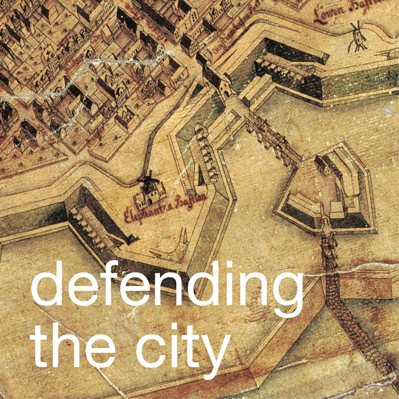
Historic maps can give a slightly distorted impression of the embankments and outer moats that were built in the late 17th century to defend Copenhagen because, simply from plans and drawings, it is difficult to appreciate the scale of the earthworks and to appreciate the extensive engineering work that was required for their construction.
Even walking through Østre Anlæg in the summer, the first impression is of a wooded valley with a wide lake, although this was in fact a section of the original outer moat, and the high embankment, on the city side of the lake, is one of the best preserved sections of the city defences.
If you look across the lake towards the city in the Winter, when the trees have lost their leaves, then you can see the full height of the embankment with two stages of slope rising to the top of the bastion. If you open the image file - to enlarge the photograph - you can see how small the figures of the runners are on the path on the far side of the lake.
If the slopes were bare of undergrowth, as on the embankments of Kastellet, the fortress or citadel, now, you can begin to see just how daunting it would have appeared to a soldier in an army attacking the city from the north. In the 17th century, the grass on the embankments would not have been as well kept as it is now on the citadel but even if you got across the moat somehow, then you still had to climb up that bank, loaded down with your weapons and kit, and, presumably, against heavy defending fire.
Note the windmill on the embankment in the distance - historic maps show a large number of mills on the circuit of the bastions and embankments through the 18th and early 19th centuries.
A lower embankment but wider expanse of water, the Stadsgraven, survives around Christianshavn and Holmen. These defences were constructed in the 17th century to protect the south side of the city.