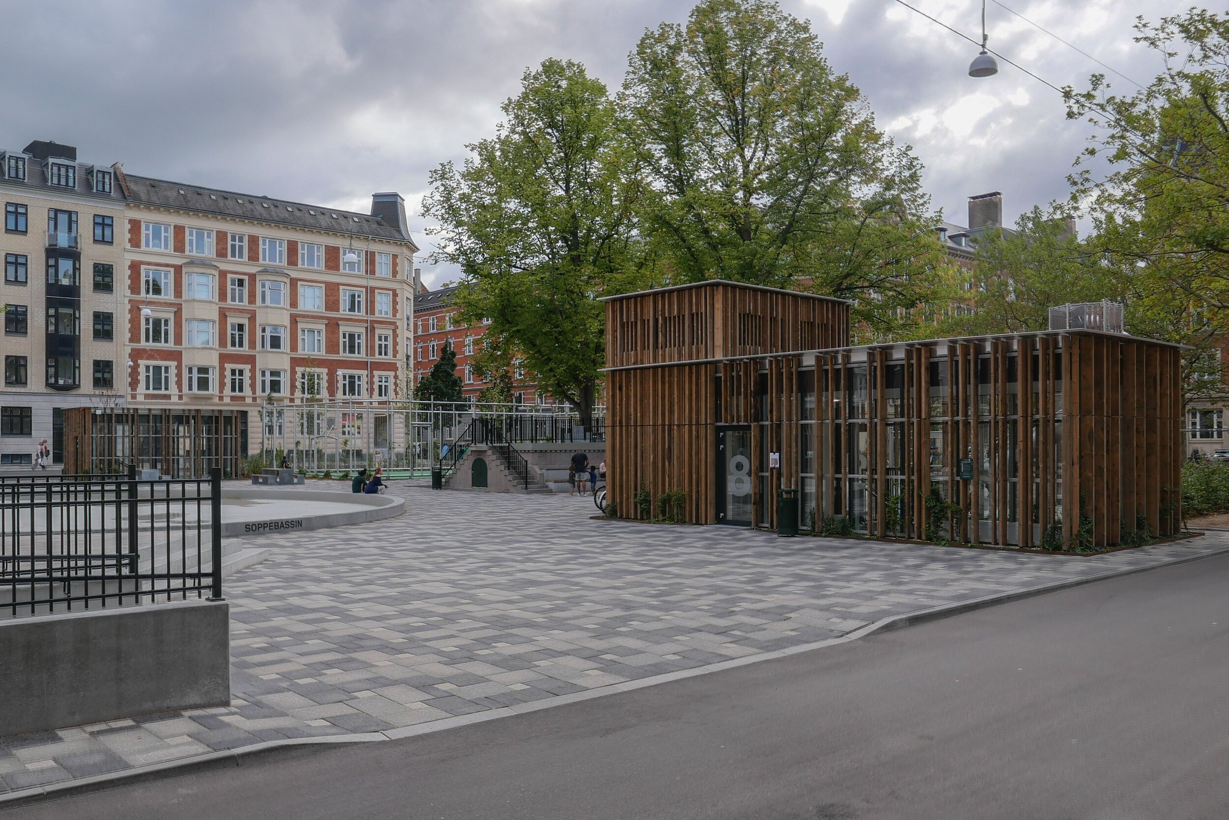
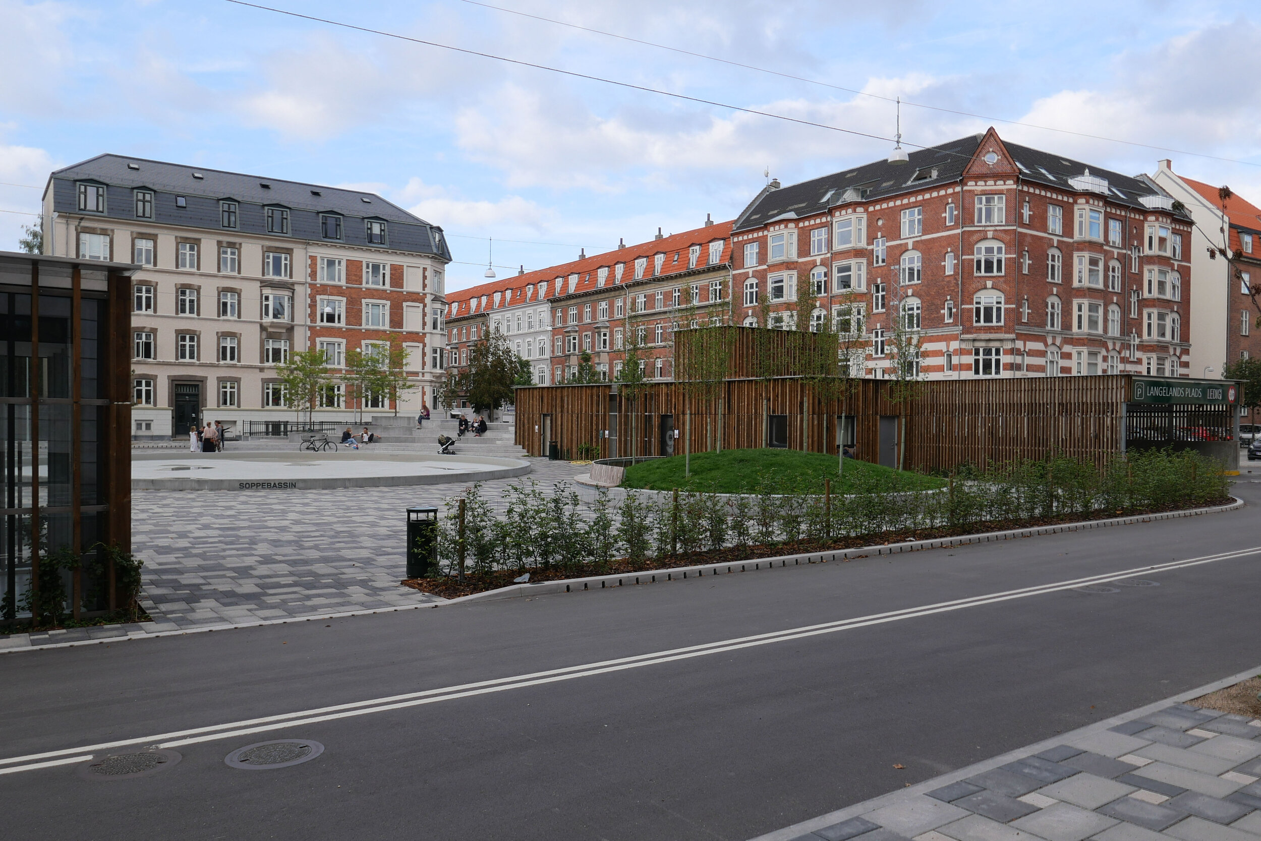
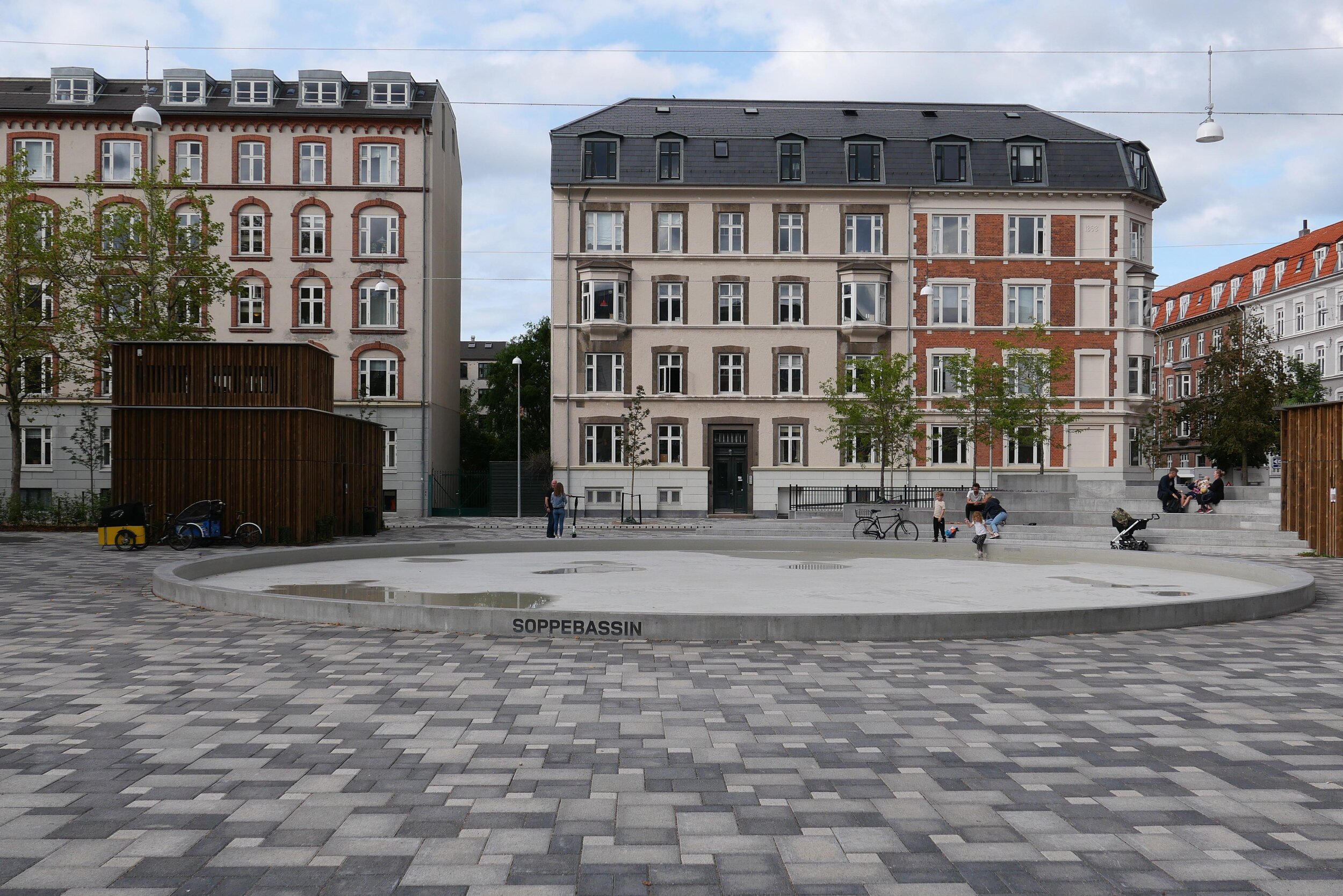
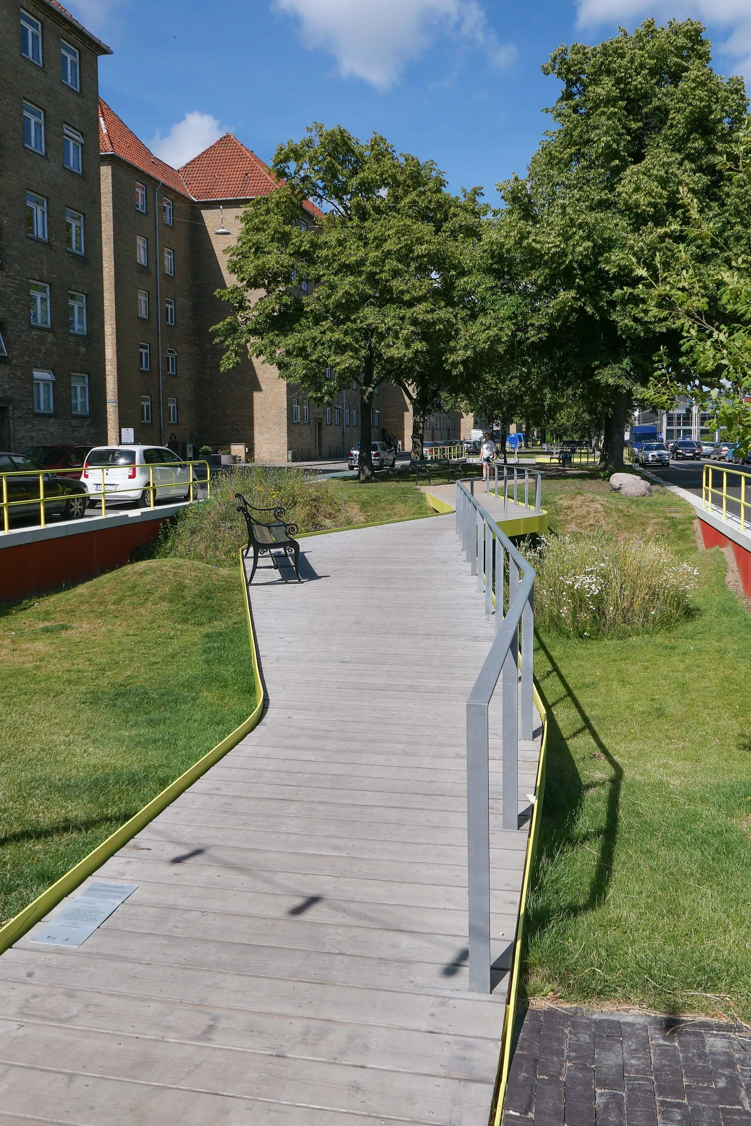
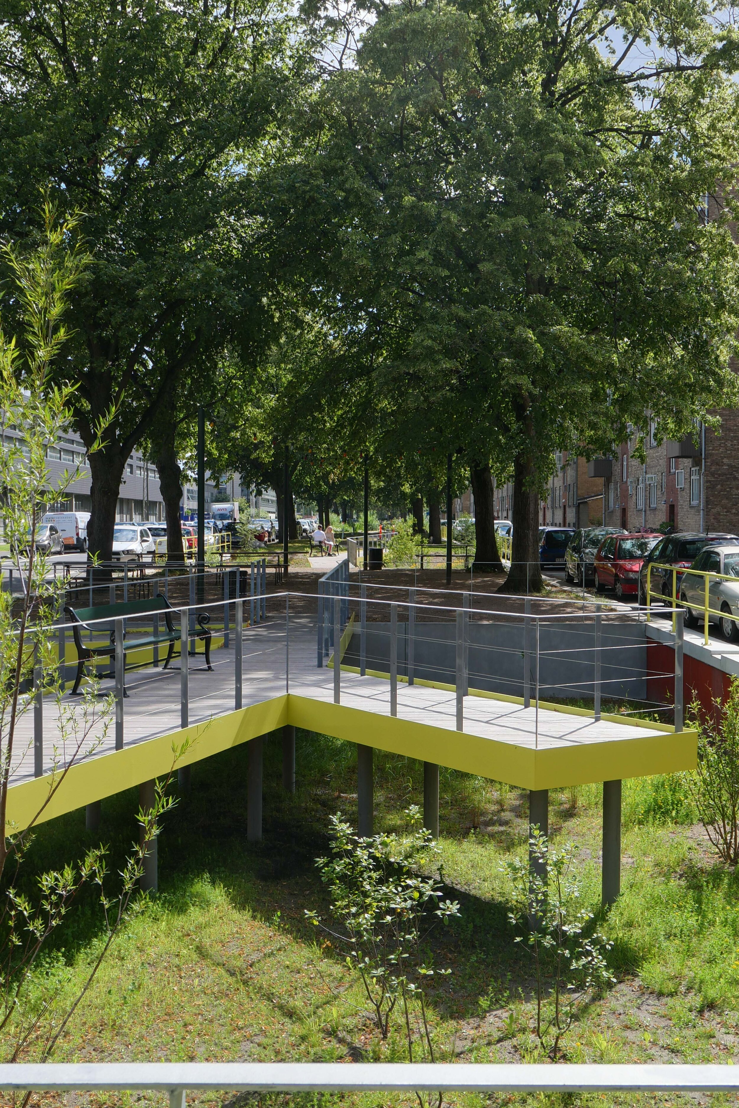
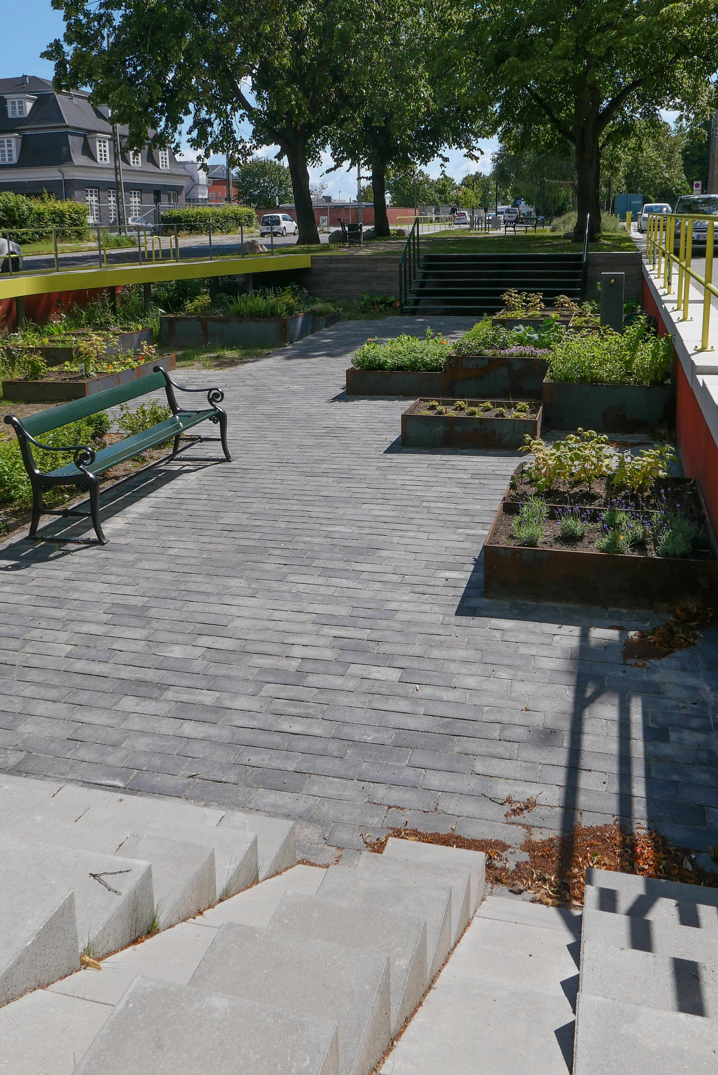
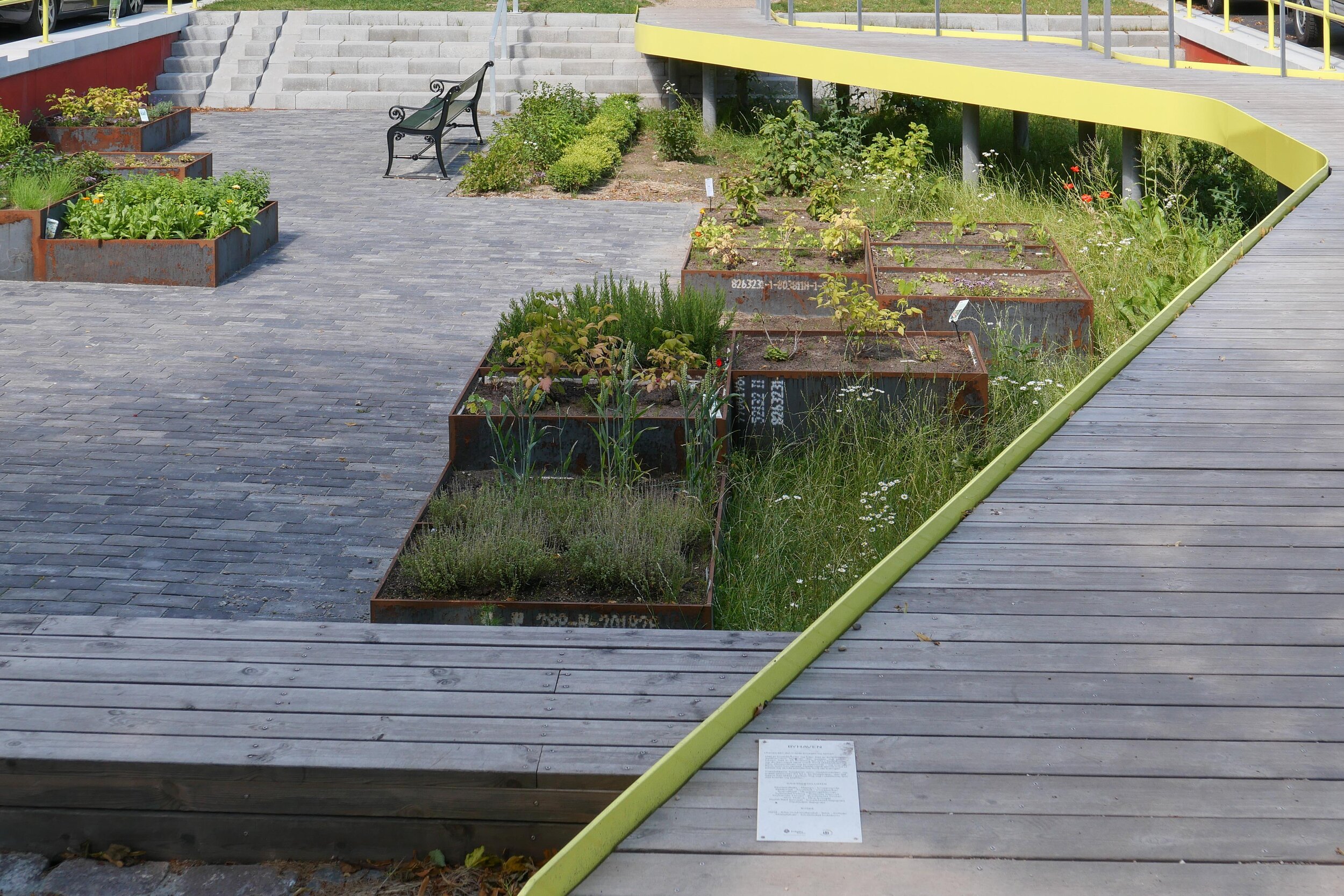
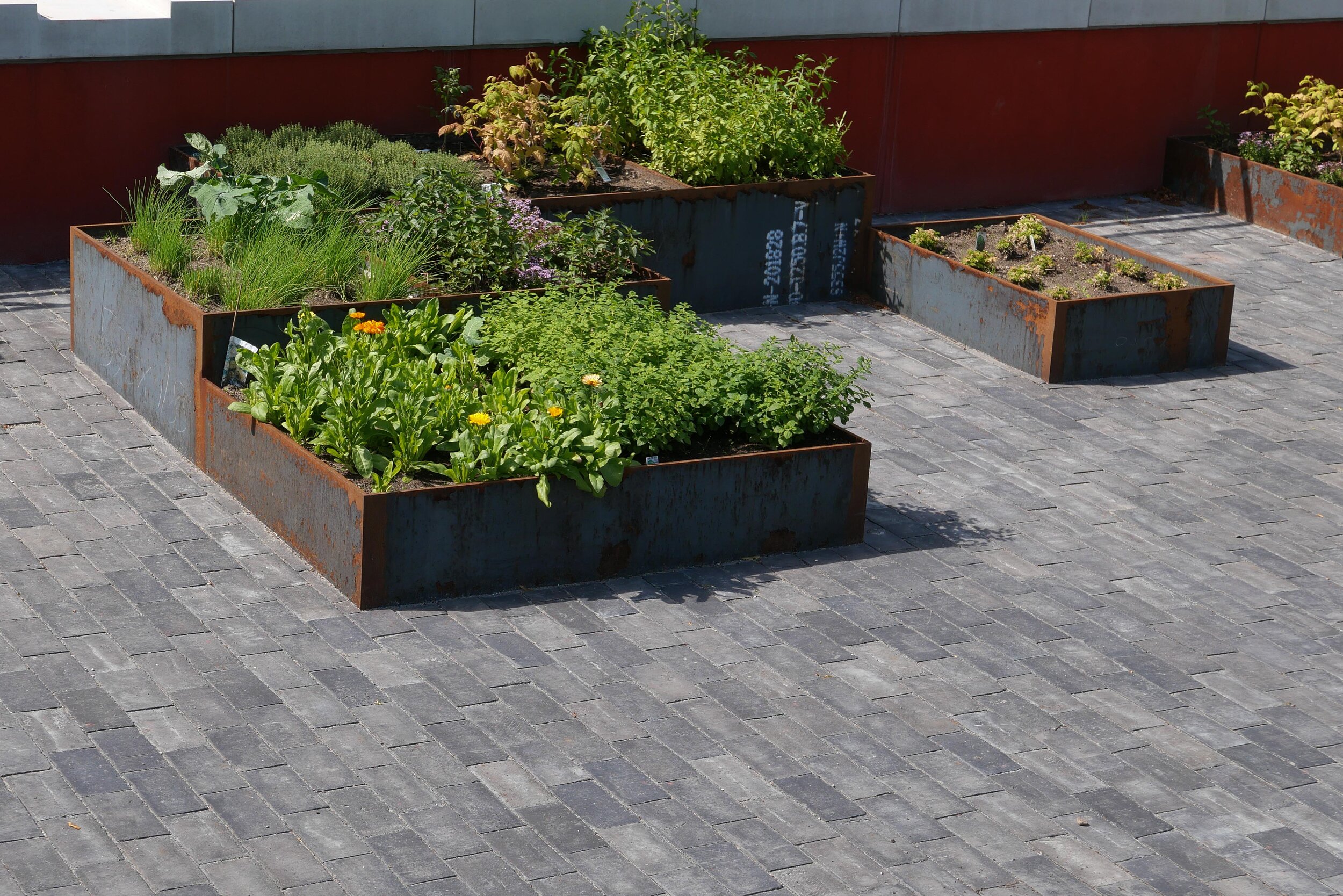
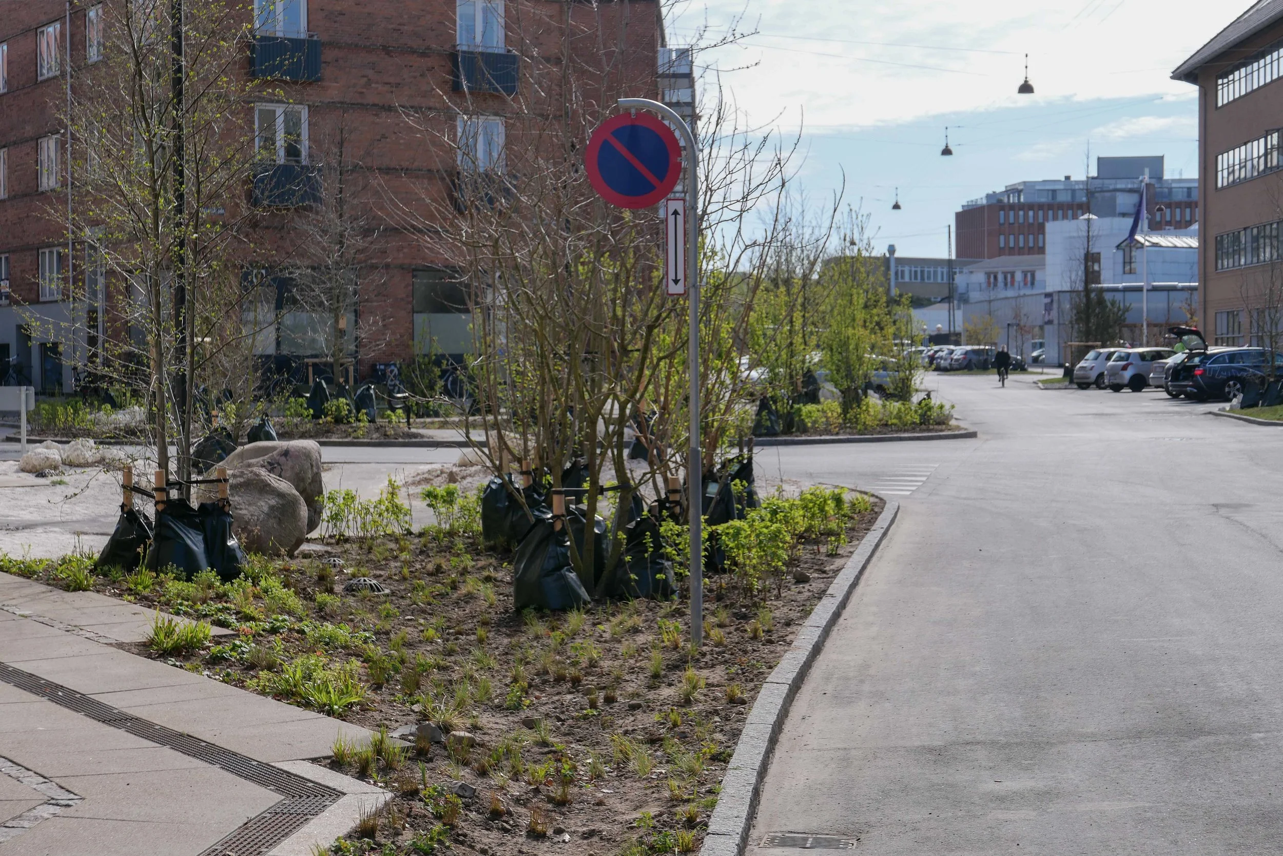
Halmtorvet - a new storm water drain
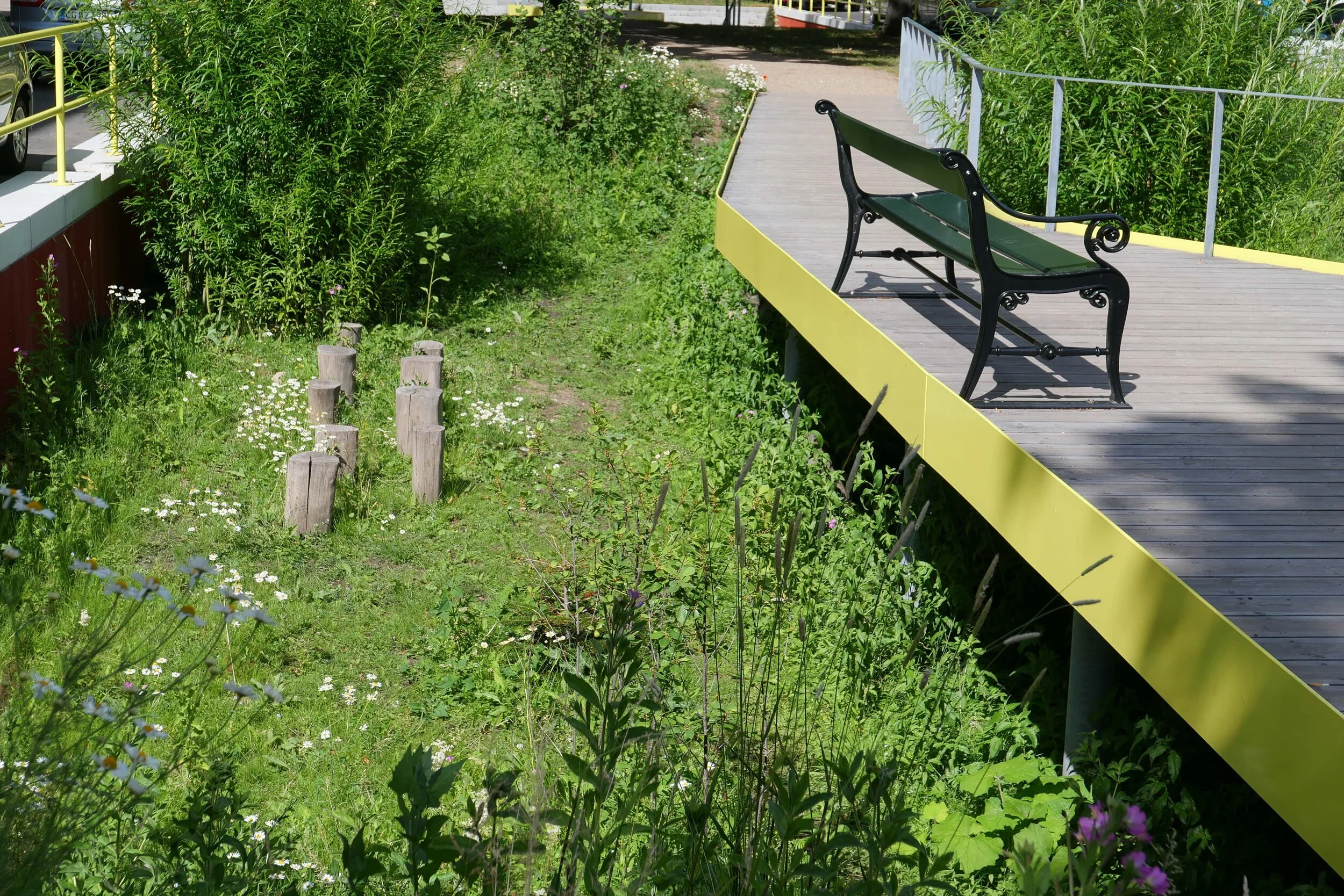
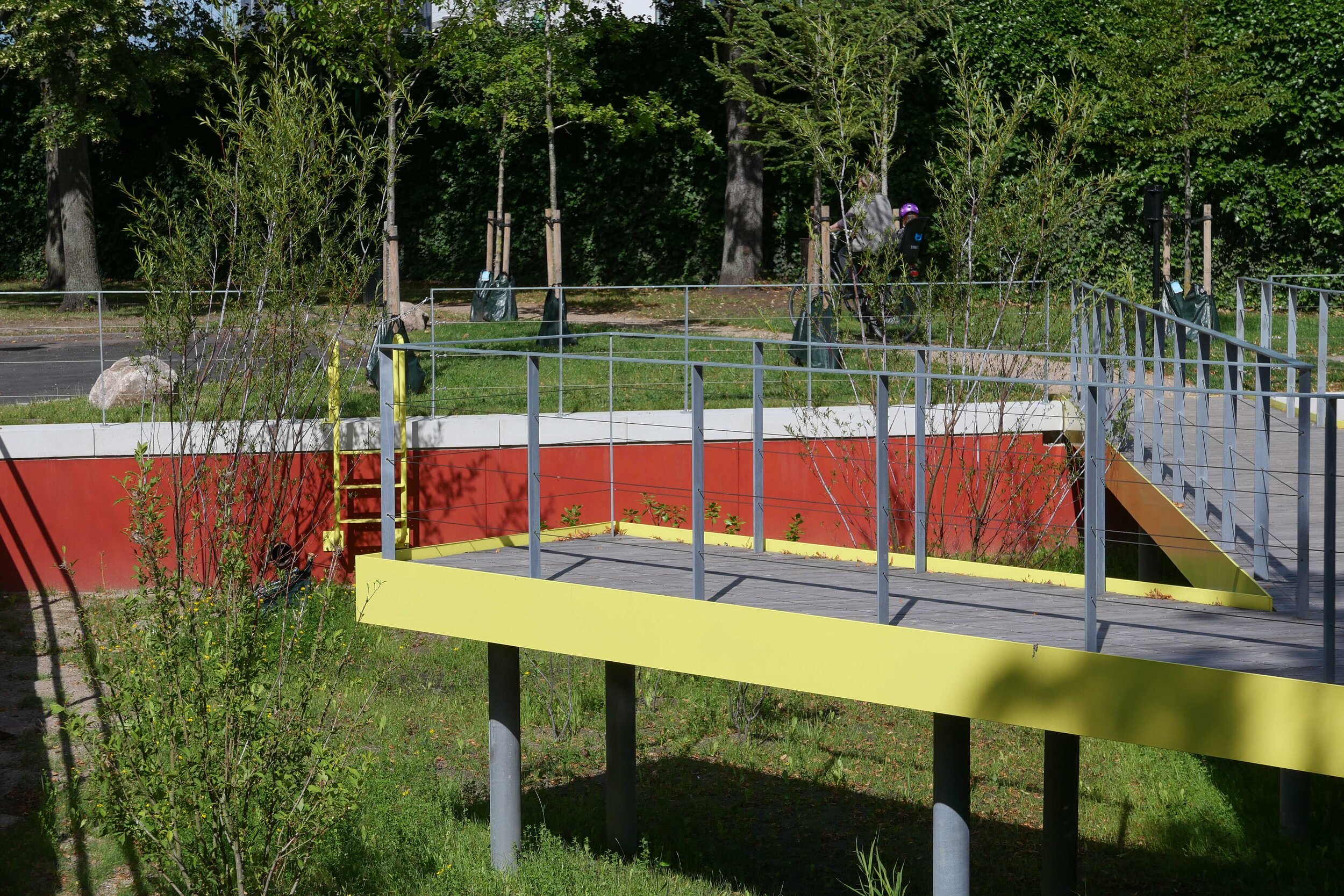
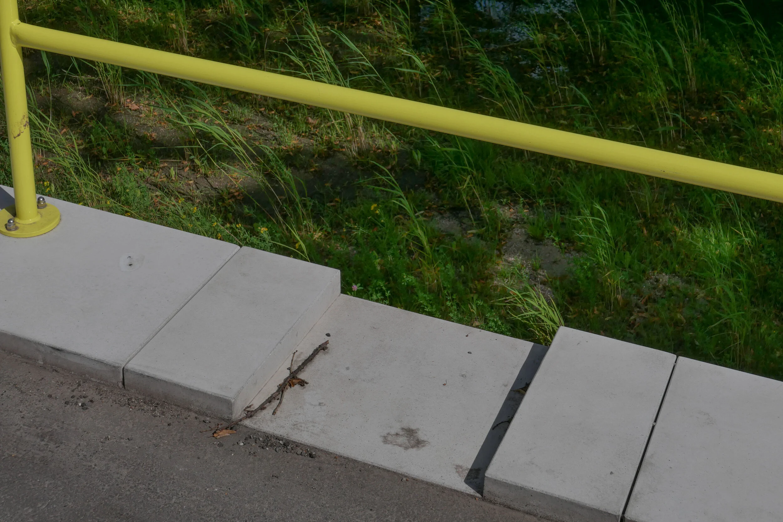
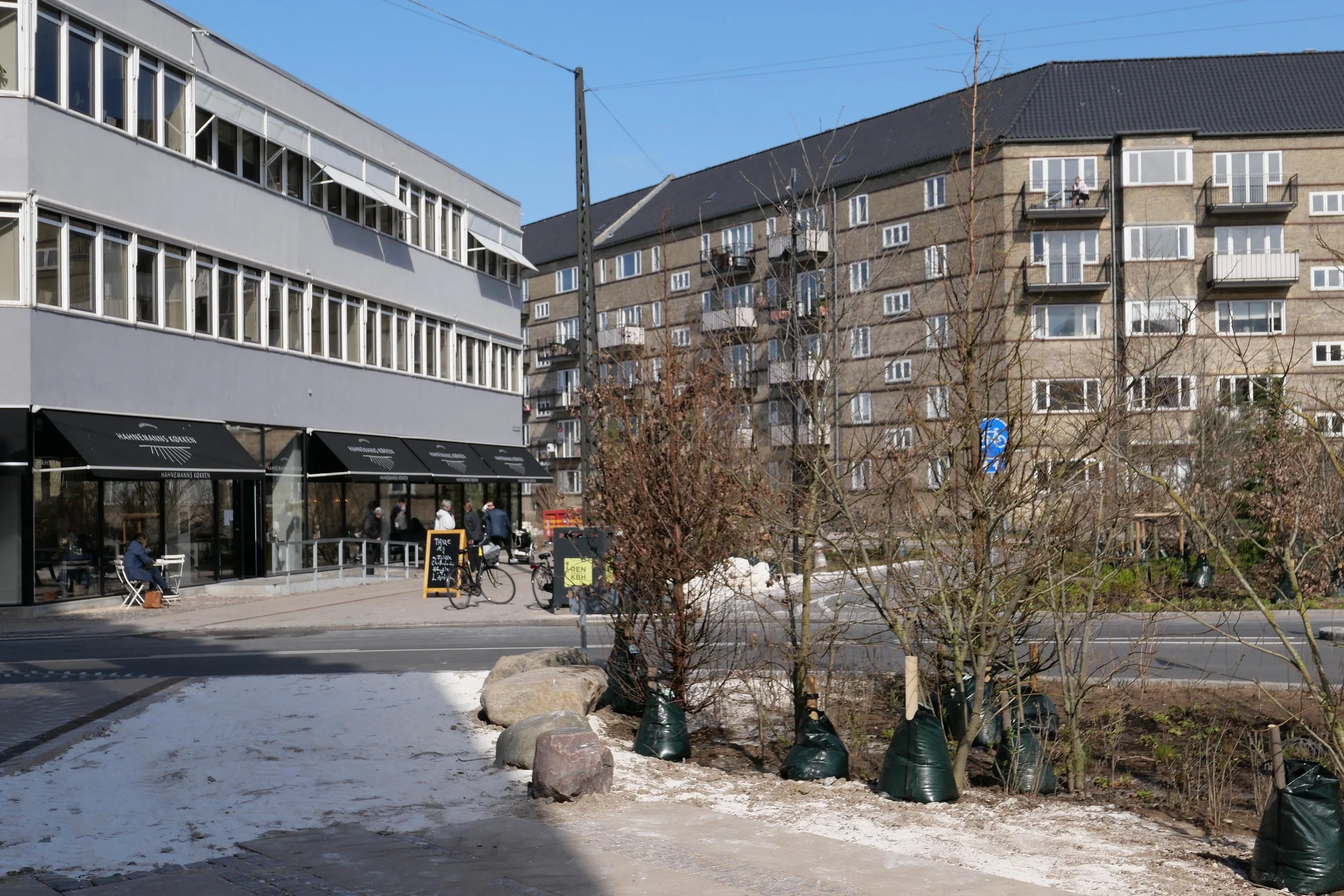
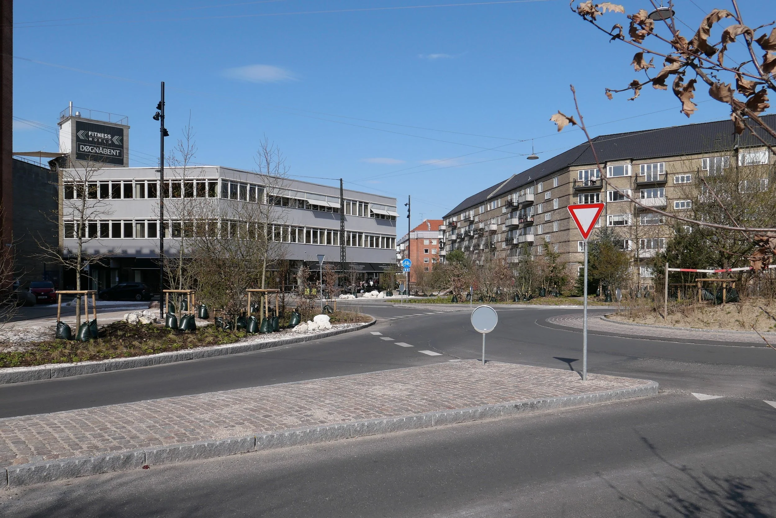
Sønder Boulevard - the wide street running out to the south east through Vesterbro from the west side of the main railway station - is now partly blocked with high hoardings like those that were used around main sites for engineering work when the metro was constructed. However, this site is not for the metro but for major engineering work to construct a massive storm drain.

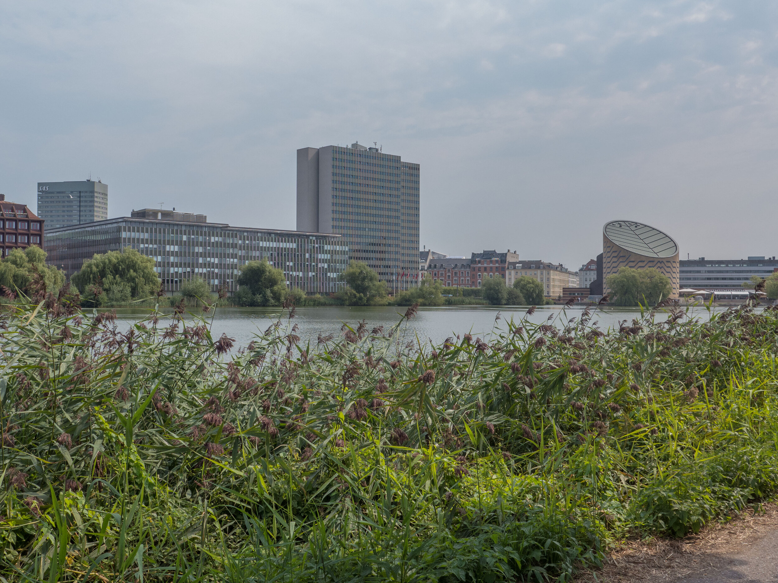
It is part of a scheme for rain-storm mitigation for Frederiksberg and, when completed, it will be about 1.25 kilometres long to take storm water from Sankt Jørgens Sø out to the harbour with an outlet just east of the Copenhagen Island Hotel on Kalvebod Brygge … close to the swimming area in the harbour at Fisketorvet.

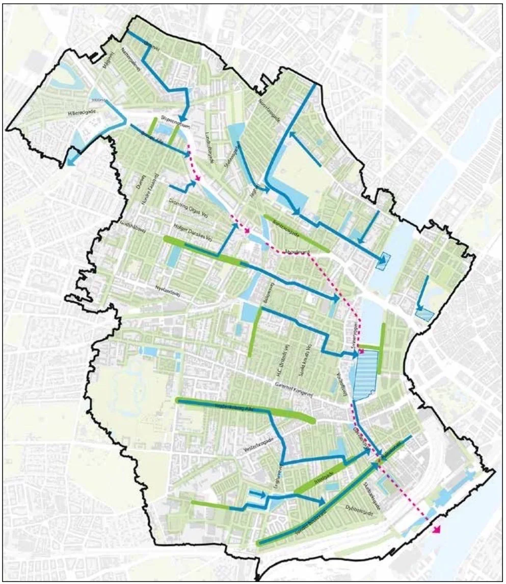
A plan by the water and engineering company HOFOR shows how new drains and gullies will take water from the streets and roofs of the densely-built area of Frederiksberg and Vesterbro out to the lakes on the west side of the city centre and from there it will be released, as and when appropriate, to keep surface water on roads to a minimum, to prevent the flooding of basements and to ensure that house drains and sewers are not inundated.

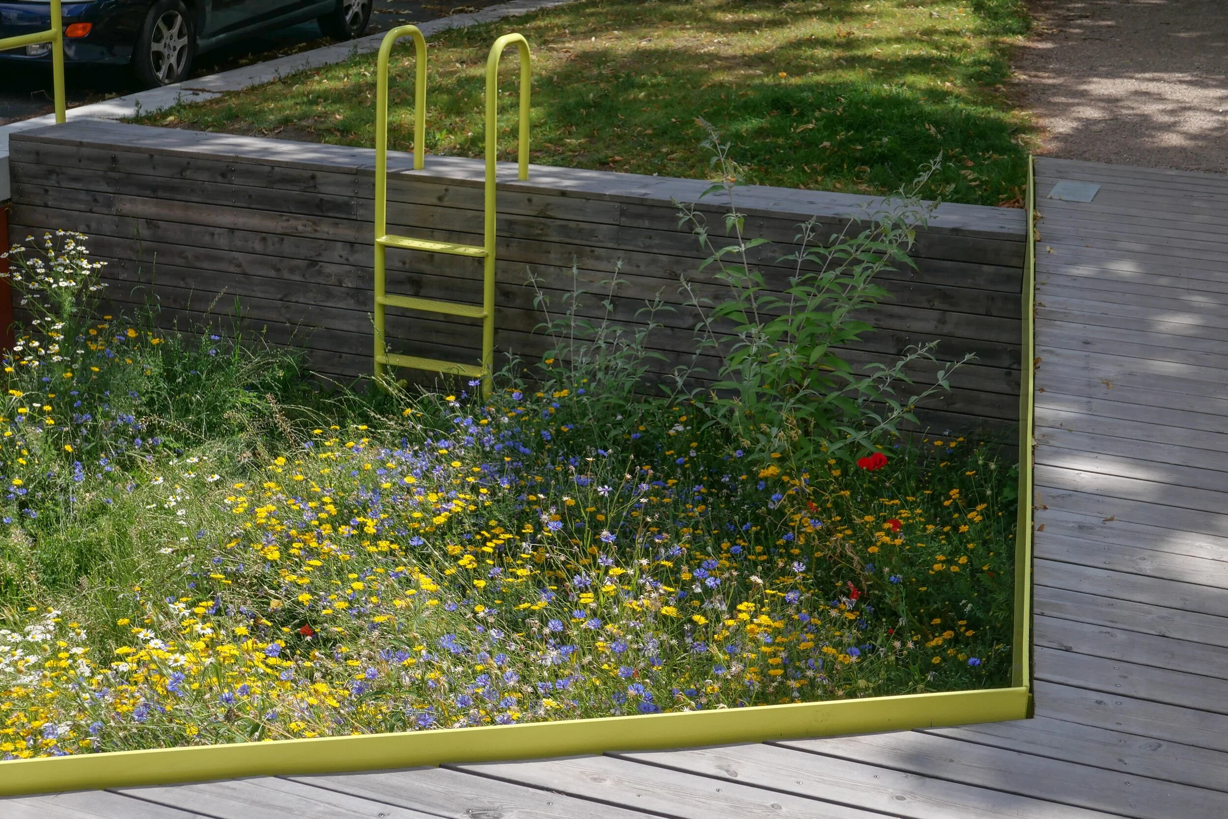
There is a proposal, not yet confirmed, to lower the level of Sankt Jørgens Sø that is now kept at it’s current level by a dam across the south end so the surface of the lake is well over a metre above Gammel Kongevej - the road across the south end of the lakes. If it was kept at a lower level, then, if there was a storm, the lake could be used as a large emergency reservoir to hold considerably more flood water, for a short period.

A well-illustrated booklet from the water company Hofor sets out why the mitigation work is necessary and the extent of the work and can be downloaded from their on-line site.

HOFOR - Skybrudsplan


building out into Kalle Bod - the bay between Frederiksberg and Amager

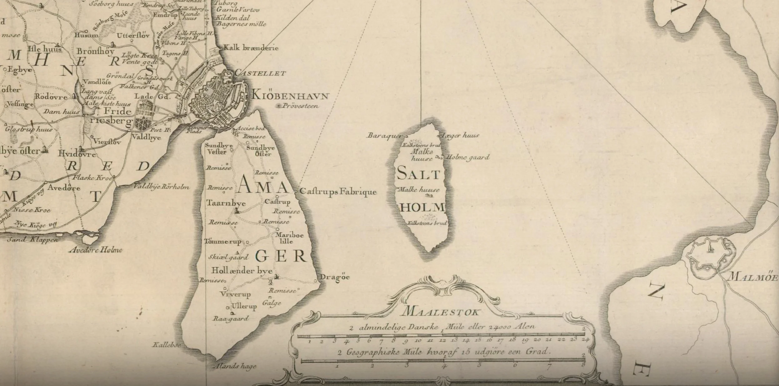
The map of 1788 shows the wide channel between the city and Amager that had been narrowed by the construction of Christianshavn in the 17th century and then the construction of the defences to protect the area where the ships of the Danish navy were moored.

Presumably, the bay to the south slowly closed with silt as the sea could no longer flow freely between the city and Amager.

From the middle of the 19th century land was claimed from the sea on both sides of the bay - first for the first railway line and then the meat market and a gasworks on the Frederiksberg side and then timber yards close to the entrance to the harbour.

In the late 19th century, the Danish army - the artillery - moved out to Amager, just beyond Langebro, where they built a rifle factory and shooting ranges and then around 1900 commercial quays were built to create Islands Brygge that extended well out into the bay.

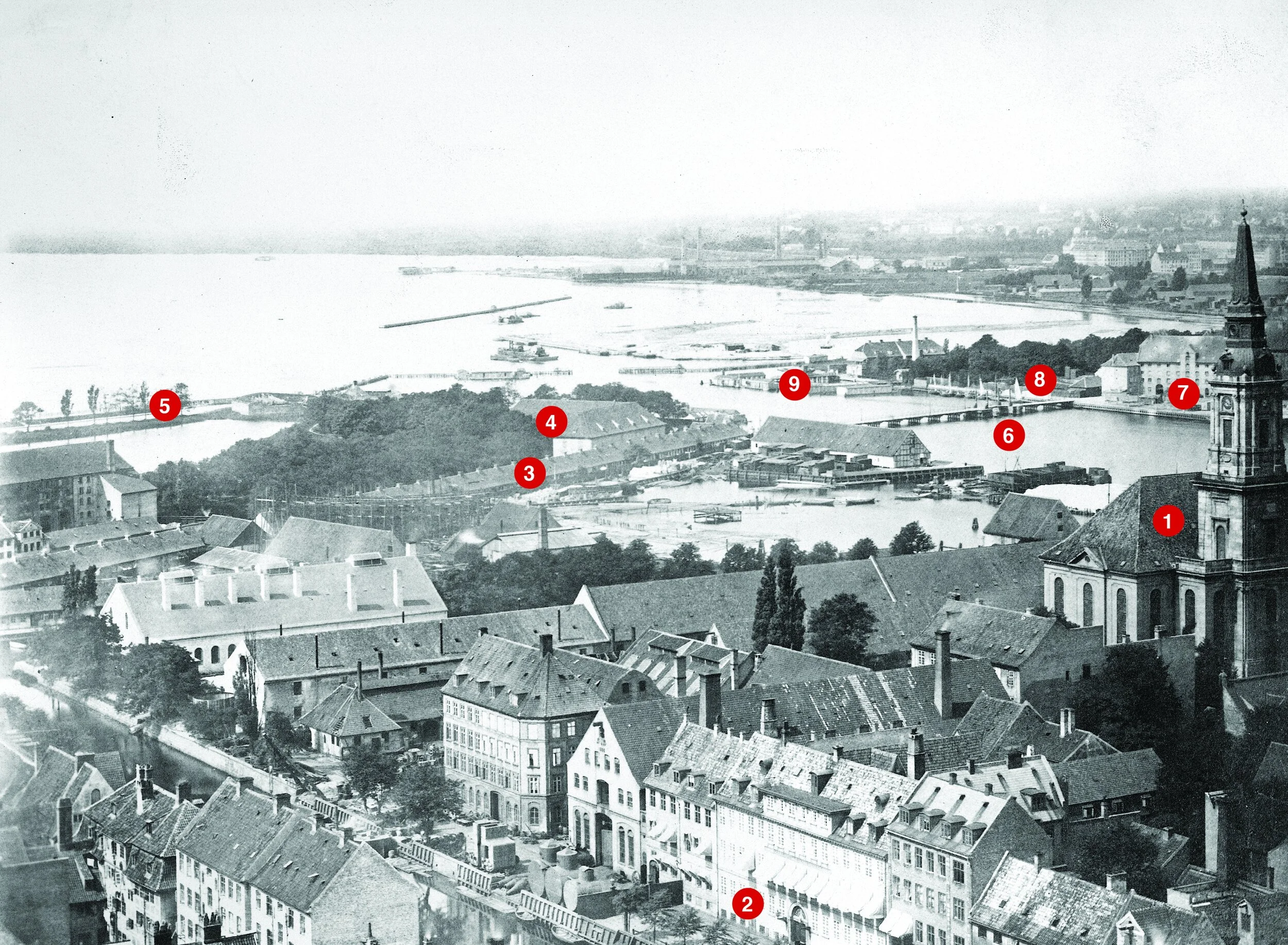
The photograph above - taken between 1867 and 1869 from the tower of Vor Frelsers Kirke on Christianshavn - is the view looking to the south west with Kalle Bod, the wide bay that opened out to the south of the harbour, with Frederiksberg to the right and Amager, out of the view, to the left.

Key buildings shown in the photo that survive are Christians Kirke to the right ① and the large house on the canal. ② Buildings beyond the church was a shipyard and engineering workshops that do not survive and the basin has been infilled.

The long building ③ was a rope walk on the north side of what is now Langebrogade. The buildings ④ are on the bastion to the east of the entrance to the harbour and survive but the outer defence ⑤ is now under the roadway on the west side of Langebro, the present bridge that was completed in 1954. The earlier Langebro ⑥ was on the line of the new pedestrian and bike bridge called Lille Langebro.

Mills and breweries ⑦ are on the site that is now BLOX ⑧ and the low buildings ⑨ was the bathing station. Beyond, between the bathing station and the shore was a timber yard just outside the defences and that is now the site of the Ny Carlsberg Glyptotek. Further along the foreshore, early infill of the bay created land for the first buildings of the meat market and a gas works.

photograph from the City Archive reference 25925

Copenhagen City Archive reference 40015

In the late 19th century, massive timber, earth, brick or stone walls and embankments were built down the harbour in a number of stages with infill behind for the present railway that runs into the central station from the east and for the railway works and the road now called Kalvebod Brygge. The office buildings between Langebro and Fisketorvet - on the left in the photograph - are all on land claimed from the bay. The buildings on the right or east side of the harbour are on Islands Brygge and also on man-made infill of the bay


the south harbour looking from the cycle bridge at Fisketorvet towards the city with Langebro in the distance

It would seem ridiculous to claim that the harbour here is narrow - it’s almost 400 metres wide - but if you had been swimming in this area of the harbour in the middle of the 19th century - in the area where the harbour swimming is at Fisketorvet - just to left of this view - then you would have been 800 metres from the beach on the Frederiksberg side and at least 700 metres from the shore on the Amager side.

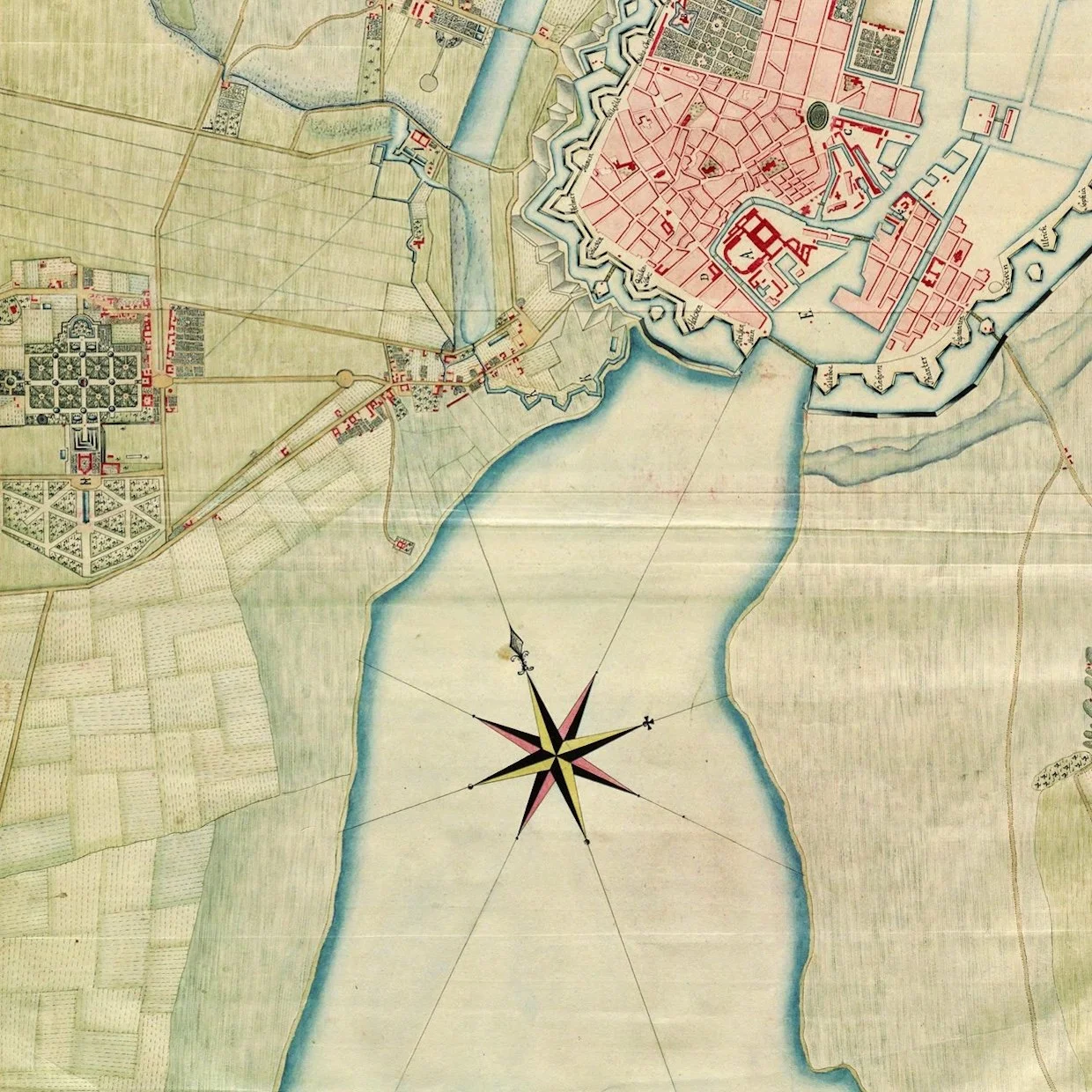
detail of a map of 1749
on the left is the distinct plan of the gardens of the palace at Frederiksberg and, at that time, there were only a few houses along the road that led to the west gate of the city - Vesterport - that was approximately where the square is now at the front of the city hall
what is obvious is the width of the bay to the south of the old city
when the first railway line was built it followed the shore of the bay on the line of what is now Sønder Boulevard
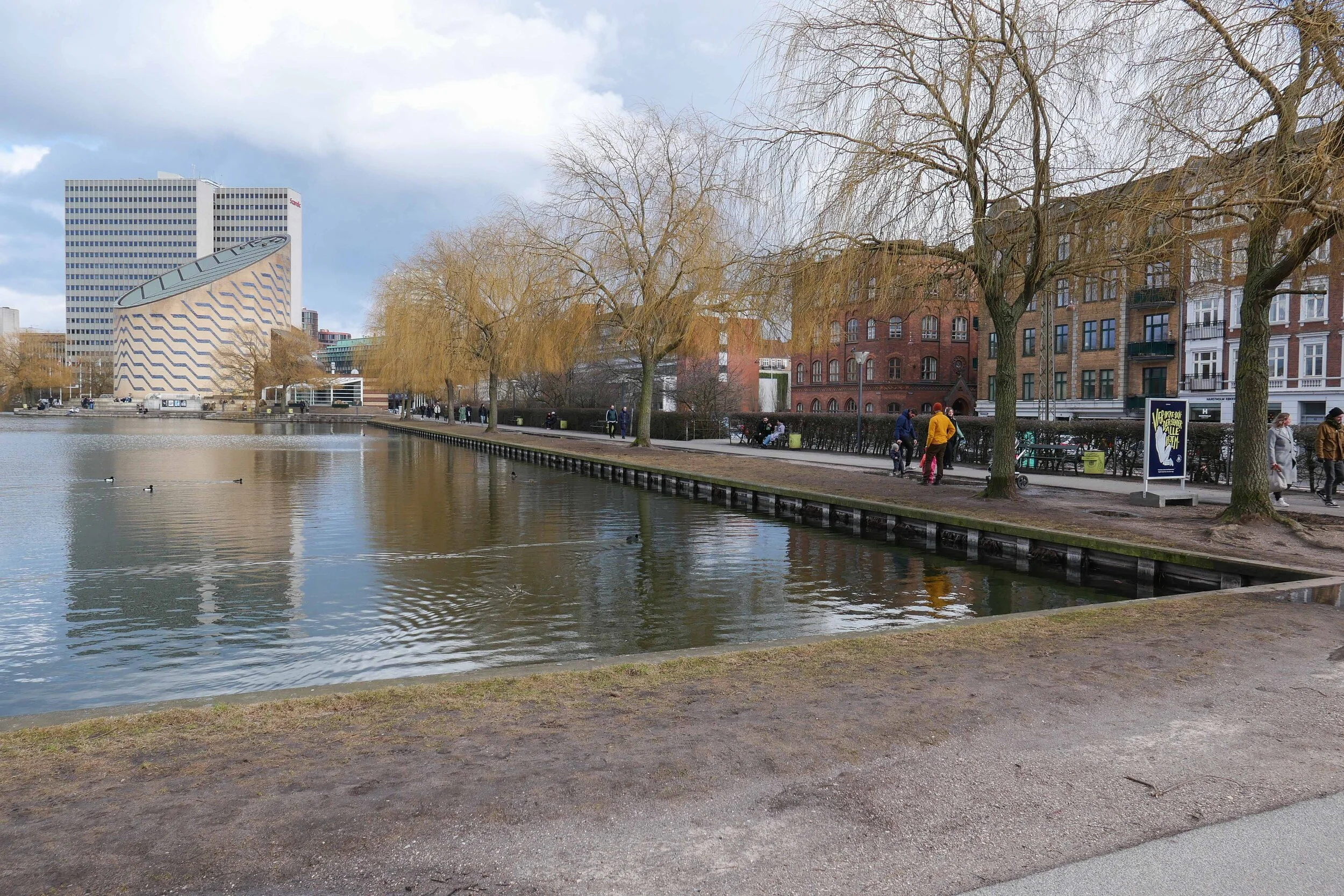


Sankt Jørgens Sø


Through the 17th century, the lake here was much more irregular in shape and spread out at the south end where it drained out to the harbour across low-lying marshes to the bay about 500 metres away.

Presumably, both Gammel Kongevej and Vesterbrogade - the road from Frederiksberg to the city through the West Gate were on causeways.

In part, the new storm drain is only needed now because so much land was claimed from the sea that the south end of Sankt Jørgens Sø is now 1.2 kilometres from the harbour.

a proposal to lower the level of the lake and to create wide new areas of grass and planting but if there was a major rain storm then the area could be flooded, returning it to the present level, as a giant holding tank before the water would be released into the harbour at an appropriate time and in a carefully controlled way.

Sankt Jørgens Sø from the north
steps up on the walk around the lake from Vodroffsvej

the path on the dam across the south end of the lake
Gammel Kongevej and the steps up to the lake … the level of the lake is approximately 1.5 metres above the level of the road
flood water will be taken from here to the harbour through the new drain


Langelands Plads - a new underground car park with climate landscape

Langelands Plads in Frederiksberg is about 400 metres north of the main shopping centre and Frederiksberg metro station.

It's a relatively small urban space - a public square - just over 90 metres wide and 70 metres across from north to south - with apartment buildings on all four sides. Most date from around 1900 and are of a fairly conventional form with five floors and most built in brick with stone or plaster for relatively restrained decoration. This is not a grand square but comfortable and pleasant with some mature trees.

A much larger and distinct public square - Aksel Møllers Have - that is unusually long - is a block to the east and is shown on a map of 1888 but with what appear to be field or plot boundaries on the site of Langelands Plads so the area was being laid out and developed at the end of the 19th century.

The most straightforward layout for a square in a city is within a grid of streets so the roads on each side of the square run through and when walking or driving you enter such a square at a corner and the space opens up on one side or the other.

At Langelands Plads, Langelandsvej across the east side and Bentzonsvej across the west side run on north and south in this standard way.

However, there is only one road, Falsrevej, on the west side that enters the square at the centre of the west side and on the east side there is Bjarkesvej - not even on the axis of the square - that is a short street to Aksel Møllers Have but enters that space slightly south of the corner of the main square so the street, looking from Langelands Plads, is terminated by the striking building of the municipal swimming pool and public baths that were built across the south side of Aksel Møllers Have in 1934.

This means that when walking to or around or through Langelands Plads, there is a more dynamic and a more interesting experience than with a standard square and this also suggests a more complicated history for the planning and development of these streets than might be immediately obvious.

Langelands Plads has pavements and roads on all four sides so the central area is just 70 metres by 50 metres.

Work on a extensive scheme to remodel and develop Langelands Plads began in the Spring of 2017 and was completed and the square was reopened at the end of May 2019.

A new underground car park was excavated across the east side with three levels below ground that has parking for 200 cars. Access is down a ramp at the south-east corner of the square but with separate access points for pedestrians leaving or retrieving their cars.

Mature trees were kept on the west side of the space and the area was resurfaced and paved and is now tightly packed with features with raised steps for seating across the north-east corner; a large, shallow pool; seating, including picnic tables and, of course, play equipment including a slide; a sand pit and an area for ball games enclosed by high fencing.

There are interesting spaces and interesting views through and across the space and it forms an important public area. As in many other parts of the city, the apartment buildings have internal courtyards at the centre of the street block with enclosed green space so the public gardens in the square have a slightly different role in the community. There is a café and bar - Mocca & More - on the west side but otherwise no other shops or commercial buildings so the square feels quiet and domestic …. on the evening I took the photographs there were parents meeting up and talking as their children played and their were small family groups that appeared to include grandparents.

The square is also part of storm water planning for the district so the paving tiles are actually a permeable surface and there are holding tanks for water below the square.

The design was by the architectural consultants RUM

Frederiksberg Svømmehal
RUM


aerial view from Google Earth shows Langelands Plads while the new underground car park was exposed.
The south end of Axsel Møllers Have is to the right with the roof of public swimming pool and public baths bottom right. The baths were designed by AAK Lauritzen and opened in 1934. Apartments around the squares would have had toilets but would have used the public baths.


note:

Frederiksberg is an independent municipality, densely packed with buildings and surrounded by Copenhagen so, in effect it is land-locked, and there is very little space for development.

It is generally an affluent area with streets of expensive apartments and with streets of villas but there are over 100,000 residents in Frederiksberg within an area of just 8.7 square kilometres so this is the most densely populated municipality in Denmark.

The construction of the car park at Langelands Plads clears on-street parking and provides crucial green space. There is an extensive open area of green around the Palace of Frederiksberg and areas of green have been left around the new buildings of the Copenhagen Business School - on land that was formerly rail yards - but the general feeling is that there is not enough open green space for the number of families living here which is probably why planners seem to have been keen on recent proposals to alter Sankt Jørgens Sø that would have seen the level of the lake lowered as part of a major scheme for control of rain storm water that would also have created a large new park on the east boundary of Frederiksberg.

climate change - Scandiagade

Rain storm works at Scandiagade were completed and formally opened in June 2019 and I visited a few days later to take some photographs and explore the area but have only just got around to writing the post.

I'm not sure why it has taken so long and it now feels like a serious oversight because this is a brilliant piece of landscape planning and the designers - the architectural studio 1:1 Landskab - have created a beautiful and really quite amazing new public space.

This street is in Sydhavnen - out to the south-west of the city centre and some 3 kilometres from city hall. It is still a distinct, working-class part of the city and local people are fiercely proud of that.

A few years ago I read a strongly-worded  criticism of the gentrification of Vesterbro - the area immediately west of the central railway station and once - how should I put this politely - the most robust part of the city - some would argue that it is still is - but the man was complaining about how the real character of Vesterbro had been ruined by the middle classes colonising the district and ended by saying he felt so strongly about the way the part of the city he had lived in all his life had been ruined that he had been forced to move from area to the only 'genuine part of the city left …. Sydhavn.

The area is certainly not on the normal tourist routes and does feel slightly isolated, cut off from the rest of the city by the main railway lines to the north and a very busy road in and out of the city to the south and east that until recently was still a main dock road and then became the way out to the motorway and a route out to the airport and the bridge to Sweden.

More recently there have been criticisms in the newspapers because expensive new housing that has been built at the south end of the harbour has cut off the people who live here even more by blocking access to the water.

The area has extensive blocks of public housing so it is important that when new rain-water scheme was found to be necessary - to stop storms flooding streets and properties - then not only was the work as good as anywhere else in the city but the local residents were consulted from the start and had an impotrtant input into what was done and what was planted.

The street is a dual carriageway with a central reservation that is 13 metres wide. There are apartment buildings along one side, hard on the pavement, and offices and what appear to be small factory units all along the other side although these later buildings are set back from the pavement so the road is actually 35 metres wide and feels light and sunny. Ironically, those posh blocks of apartment around the harbour have much higher blocks and for many there are tighter spacing with much narrower streets - some just 14 metres wide - because of the escalating value of the land.

The new park at Scandiagade is 360 metres long and runs at an angle but basically from north to south from Sydhavnsgade down to Børgmester Christiansens Gade and is now one of the important linear parks in Copenhagen … earlier versions of these long parks where road traffic on either side of a dual carriageway has been restricted and constricted to free up the central reservation for planting or play equipment or for places for local people to sit in the sun. These earlier linear parks include Sonder Boulevard in Vesterbro and Prags Boulevard on Amager. At Scandiagade one interesting difference is that instead of car parking being against the pavement in front of the buildings, here it is along the inner edge against the park. Curiously this makes the park feel not isolated or threatened by the cars but actually enclosed and somehow more and not less important.


Fortunately it was possible to keep mature lime trees along the centre - only two were felled - and these form a depth and volume to the design and, from the completion of the extensive construction work, it feels well established.

The design has eight sunken areas for storm water to flood and where rain water will be held to drain away slowly without damaging property or damaging the drain and sewer system that would otherwise be overwhelmed in a downpour.

Each sunken area has a different theme and a distinctly different character and these were worked out with the residents who also helped decide on planting so there is a really rich bio diversity with well over 100 different plant types. Information panels and labels have been included to encourage people appreciate and learn more about nature and about plants and their care.

The sunken areas include a play area; a butterfly garden; a beach with a volley-ball net; a kitchen garden; a 'hilly' landscape; a stone or rough moorland garden; an area inspired by Tippen - an important and popular nature reserve to the south on landfill - and an area that has been fenced in and left to see what grows in a wild and self-seeded garden.

These areas are linked by a striking raised walkway that zig-zags down the park with a sharp yellow metal edging and a hand rail on one side - rather than both - and this links different sections at road level where there is plenty of seating but there are also steps and swimming-pool or harbour-style ladders down into each garden.

1:1 Landskab

 
20180503_Plan farve_0.jpg


Sankt Kjelds Plads - climate change landscape

Sankt Kjelds Plads in July 2018 - looking towards Hahnemanns Køkken - the cafe on the north side of the square


the same view in April 2019


Sankt Kjelds Plads is in a densely-built area of older apartment buildings about 4 kilometres directly north from the city hall.

Many of the buildings here date from the 1930s but there are large modern office buildings and large and relatively recent industrial buildings and a large supermarket to the west.

The area has a distinct urban character with relatively wide streets but little planting and not just on street parking but also fairly heavy through traffic. From the air you can see that most of the large apartment blocks have extremely pleasant courtyards with planting but the real problem for this area is that climate change has meant occasional but very destructive flooding from sudden rain storms with traditional street drainage unable to deal with surface water on the streets and with rain running off the roofs of the large buildings.

The solution has been to put in fast-flowing storm drains, surface channels to take water away to tanks or sumps where it can be controlled, and, where necessary, filtered and then released into the drainage system but at an appropriate rate. These sudden storms may last for only an hour but in that time there can be a depth of 30 centimetres of water across the road that stops traffic, floods basements and ground-floor apartments and businesses and takes road-level pollution through the drains and to the harbour and the sound.

Along with this hard landscaping of drains and surface gullies, the other solution is extensive planting that absorbs rainfall - apart from the most severe storms - and adds considerably to the amenity value of the street scape.

Here at Sankt Kjelds Plads, seven roads converge at what was a very large traffic round-a-bout. That was planted with shrubs and trees but it certainly was not a place to sit. In fact, with the heavy traffic, it was not a place where many people even cut across.

With the current scheme, small areas of pavement in front of the buildings have been pulled forward and the traffic discouraged and the round-a-bout reduced significantly in size. The new areas are densely planted and have pathways curving through them with seats . Sunken areas will flood when there are storms, to act as holding tanks, but have planting that will cope with short periods of partial submersion.

This will be the first full growing season for the trees and shrubs and ground cover so it is not fair to judge the scheme until everything becomes more established but already the transformation is obvious.

This large open space links through with the climate-change landscaping of Tåsinge Plads, about 85 metres away to the east, and the main north south road through Sankt Kjelds Plads - Bryggervangen - is also being planted to form a green corridor from the large park - Fælledparken - to the south and continuing through to an open area and pond to the north beyond Kildevældskirke.

post on Sankt Kjelds Plads July 2018
post on Tåsinge Plads July 2018

aerial view of Sankt Kjelds Plads after the main landscape work on Tåsinge Plads had been completed - that is the thin triangular street space on the right towards the bottom - but just before construction work on Sankt Kjelds Plads began so this shows the original traffic island with areas for people to walk kept to the edge immediately in front of the buildings

Three architectural and landscape design companies worked on the scheme - SLA Copengagen, Tredjure Natur and GHB Landskabarkitekter - and their online sites have more information and more images.

by SLA
the new climate district - by Tredje Natur
GHB Landskabsarkitekter

looking across Sankt Kjelds Plads from the south side - although it is hard to see through the new planting, the traffic island is still at the centre but has been reduced significantly in size

Large_Skt_kjeld_1_500.jpg

proposal for the scheme by SLA Copenhagen showing the green corridor from the church in the north and down to Fælledparken to the south


new drains and new planting along Bryggervangen - north of Sankt Kjelds Plads with the tower of the church - Kildervældskirchen - at the north end


note: the grills covering large buried drainage channels and the cover to a sump in the sunken area of garden where storm rain water will be held until it can be released into the main drains

select any image to open full screen in slide show