climate change and policies about sustainability are not just about the cities and towns

model of the new Wadden Sea interpretation by Dorte Mandrup

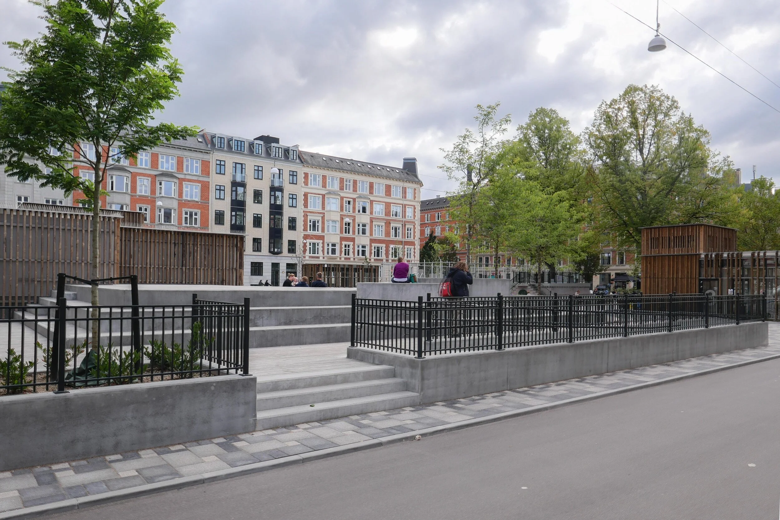
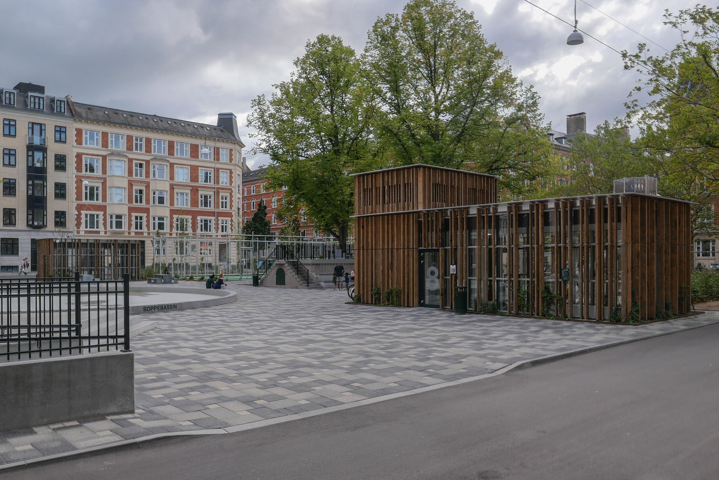
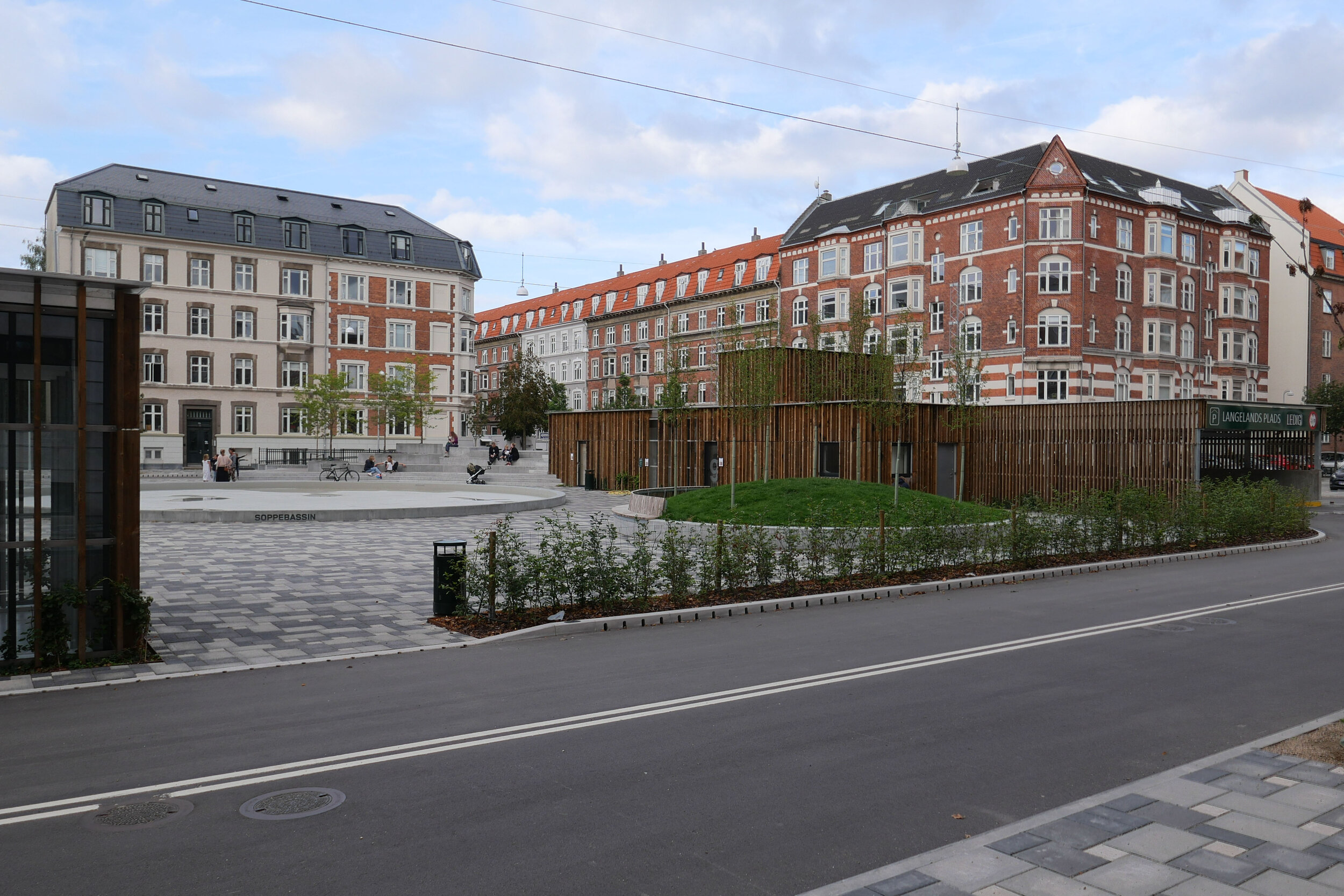
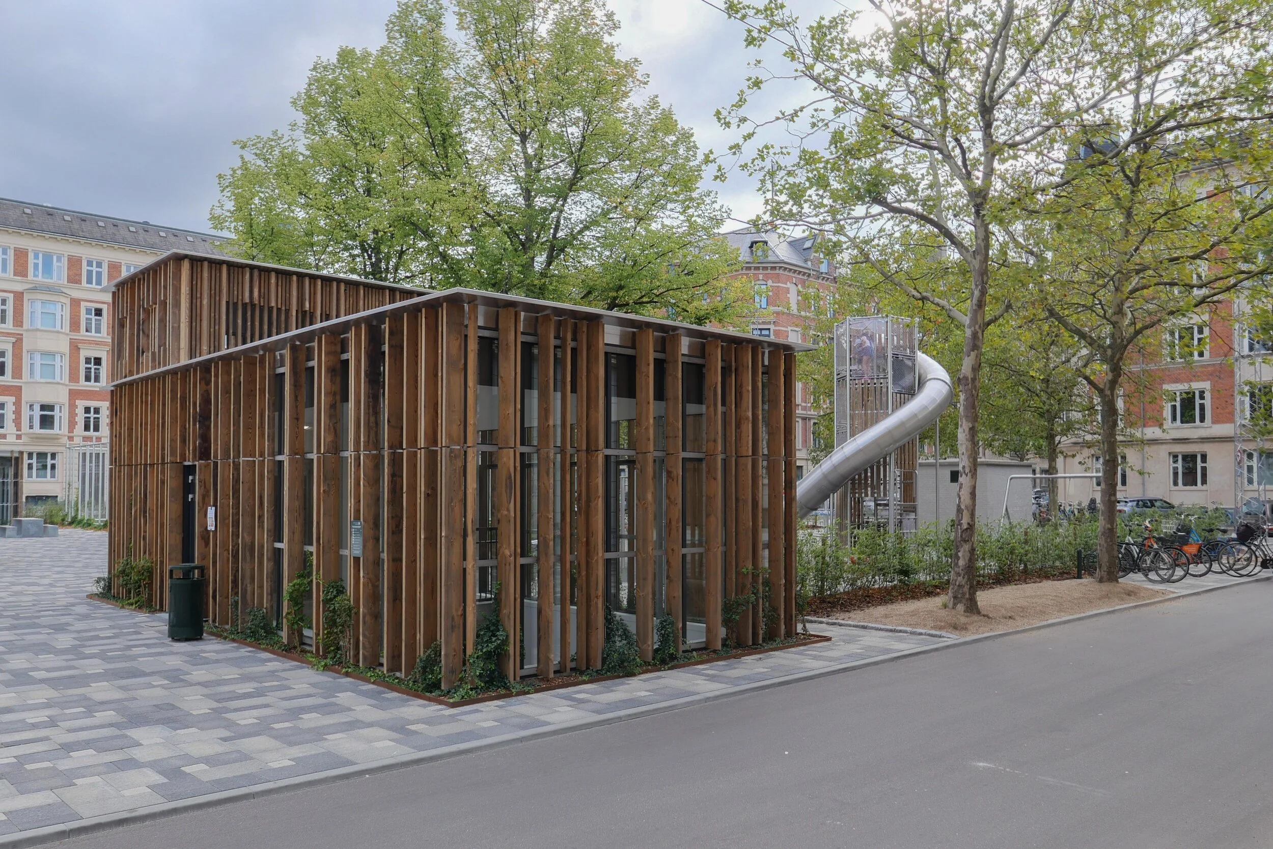
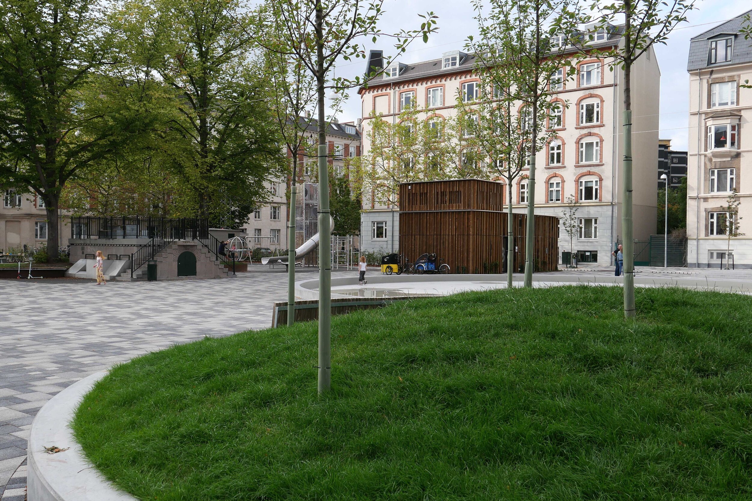
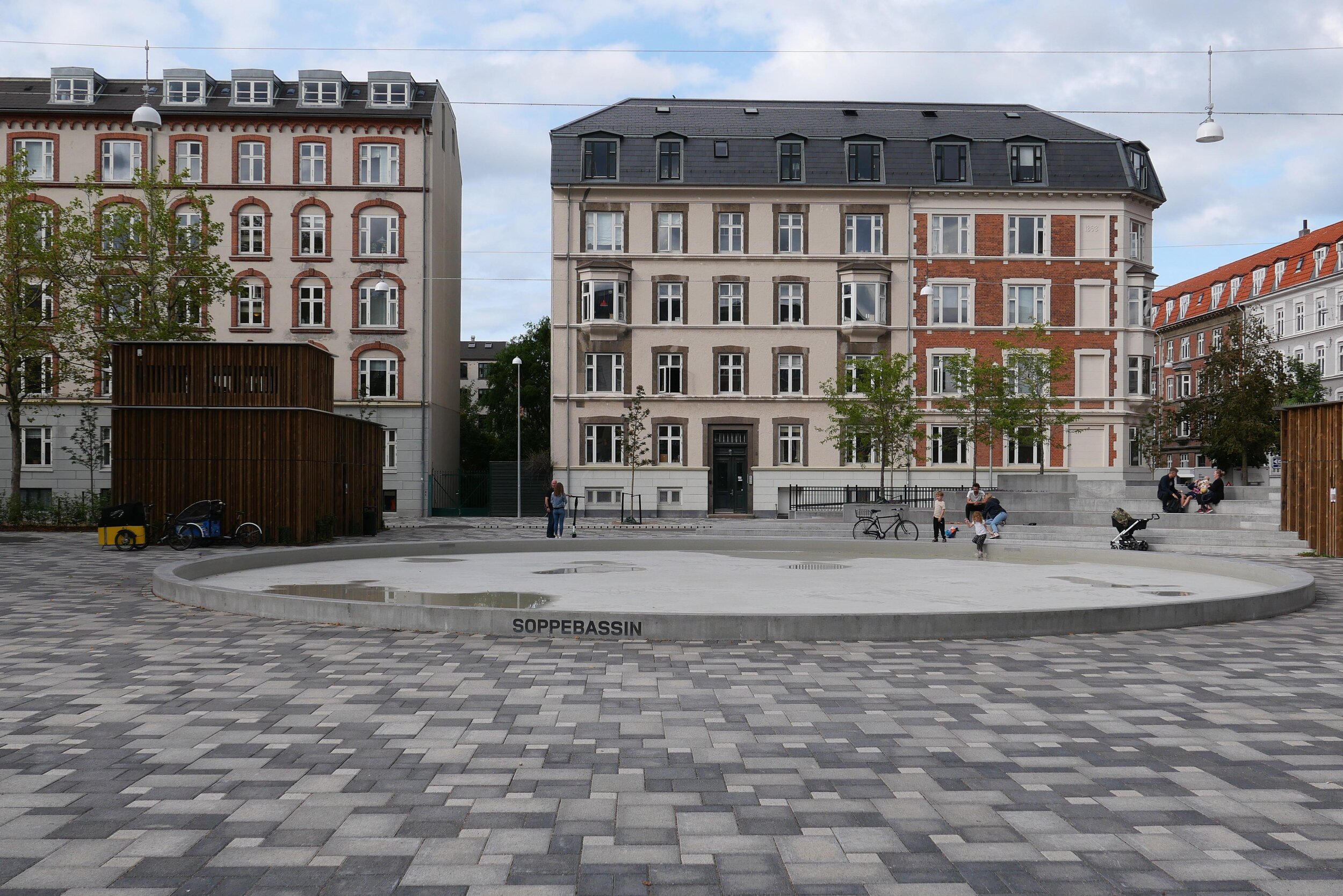
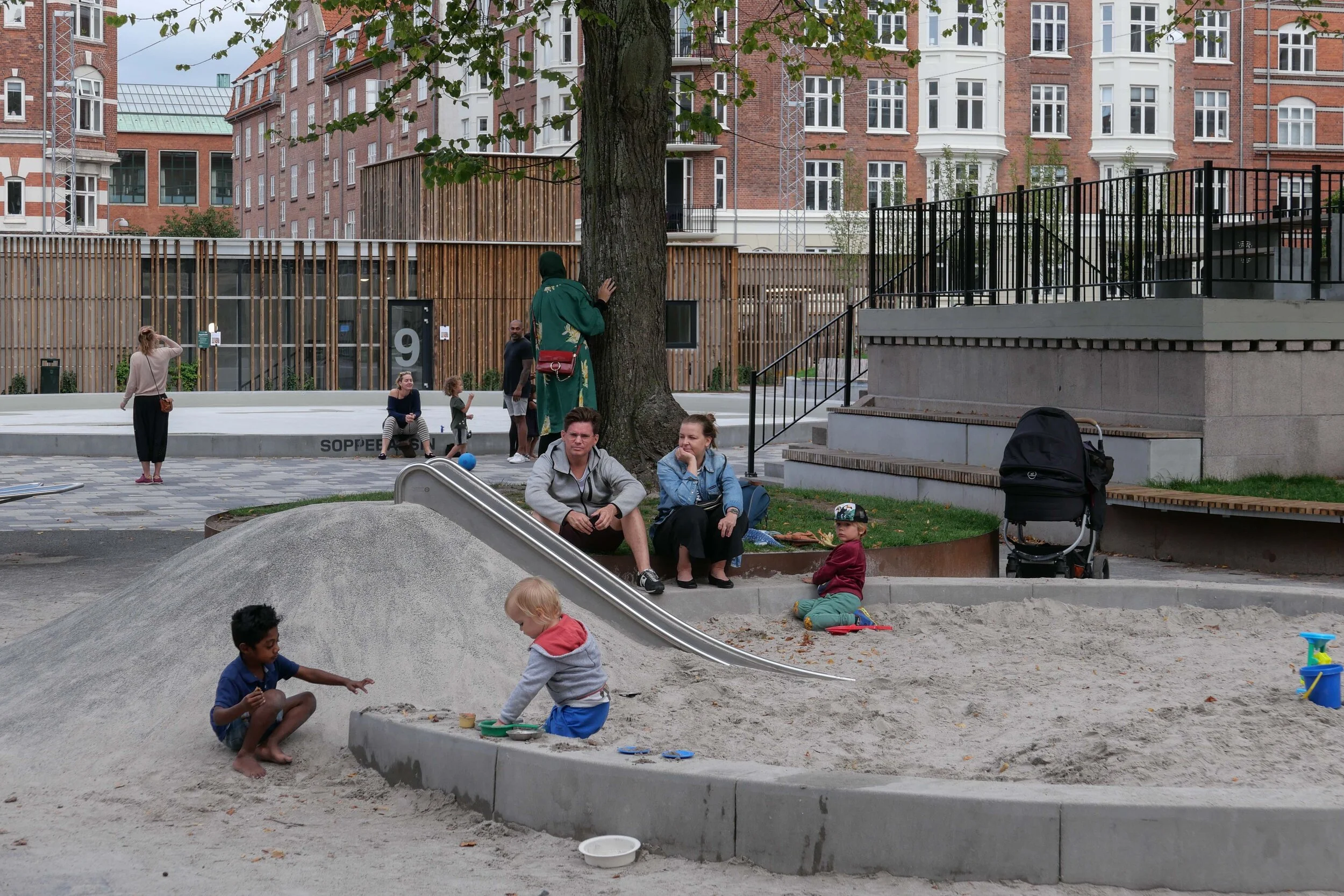
This blog is about Danish architecture - about buildings and the built environment - and about design and making or design and manufacturing so, in the recent posts about climate-change mitigation, the schemes discussed have been urban examples and mainly about dealing with flooding from rain storms.

This is crucial because it has been predicted that, as a consequence of global warming, annual rain fall in Denmark could increase by as much as 30% but this will not be spread evenly through the year but there will be more sudden and dramatic storms with torrential rain falling over a relatively sort period of thirty minutes or an hour.

I was not in the city for the devastating storm of 2011 so I did not see first-hand the damage done then as streets flooded - although I have seen some of the videos that people took - but only a month after moving to Copenhagen there was a storm that flooded local streets and where I was living, each apartment had storage space in the basement and I lost packing boxes and tools and some books left down there were ruined. Then the water was just about 30 cm deep across the basement with water running down from the street but pumps had to be brought in. In 2011, I was told, water had come up to the level of the basement ceiling so I can see why city politicians have spent so much money and time and effort on trying to make Copenhagen more resilient. Some 300 schemes have been completed or are, to use a bad pun, in the pipe line.

Denmark is renowned for its modern architecture and for furniture design but the country also has a strong and world-wide reputation for its engineering and this is crucial for the successful completion of appropriate mitigation projects.

Recent statistics from 2018 show that 88% of the Danish population live now in towns but clearly this is not to suggest that all climate problems and all major protection plans are urban.

Denmark is a relative small country but it is a country made up of islands - there are some 443 named islands - and so it has a long coast line of around 8,750 kilometres. To put this in perspective, there is one land border - the border with Germany - and that is just 68 kilometres across.

The country is low - not as low as large parts of the Netherlands of course - and the highest point is just 171 metres above sea level. The sea takes away and then redistributes sediment and builds up new land elsewhere to such an extent that the official statistics for the calculated area of the country is changed regularly.

So, extensive engineering schemes are needed to protect coast lines around the country and with ongoing discussion about other policies needed to protect some areas, particularly important rare or unique natural landscapes habitats, like the Wadden Sea area on the west coast, and last week there was a debate in the newspaper about returning areas of peat bog in Jutland at Vejen Mose to their original state. Draining the land for agricultural use release carbon deposited there …. as much as 1.4 million tonnes of carbon emissions each year.

These decisions are not easy and not cheap but are now urgent and, as with all policies about climate change and sustainability, complicated compromises will have to be made.

Wadden Sea dikes
Dorte Mandrup Wadden Sea Centre


Langelands Plads - a new underground car park with climate landscape

Langelands Plads in Frederiksberg is about 400 metres north of the main shopping centre and Frederiksberg metro station.

It's a relatively small urban space - a public square - just over 90 metres wide and 70 metres across from north to south - with apartment buildings on all four sides. Most date from around 1900 and are of a fairly conventional form with five floors and most built in brick with stone or plaster for relatively restrained decoration. This is not a grand square but comfortable and pleasant with some mature trees.

A much larger and distinct public square - Aksel Møllers Have - that is unusually long - is a block to the east and is shown on a map of 1888 but with what appear to be field or plot boundaries on the site of Langelands Plads so the area was being laid out and developed at the end of the 19th century.

The most straightforward layout for a square in a city is within a grid of streets so the roads on each side of the square run through and when walking or driving you enter such a square at a corner and the space opens up on one side or the other.

At Langelands Plads, Langelandsvej across the east side and Bentzonsvej across the west side run on north and south in this standard way.

However, there is only one road, Falsrevej, on the west side that enters the square at the centre of the west side and on the east side there is Bjarkesvej - not even on the axis of the square - that is a short street to Aksel Møllers Have but enters that space slightly south of the corner of the main square so the street, looking from Langelands Plads, is terminated by the striking building of the municipal swimming pool and public baths that were built across the south side of Aksel Møllers Have in 1934.

This means that when walking to or around or through Langelands Plads, there is a more dynamic and a more interesting experience than with a standard square and this also suggests a more complicated history for the planning and development of these streets than might be immediately obvious.

Langelands Plads has pavements and roads on all four sides so the central area is just 70 metres by 50 metres.

Work on a extensive scheme to remodel and develop Langelands Plads began in the Spring of 2017 and was completed and the square was reopened at the end of May 2019.

A new underground car park was excavated across the east side with three levels below ground that has parking for 200 cars. Access is down a ramp at the south-east corner of the square but with separate access points for pedestrians leaving or retrieving their cars.

Mature trees were kept on the west side of the space and the area was resurfaced and paved and is now tightly packed with features with raised steps for seating across the north-east corner; a large, shallow pool; seating, including picnic tables and, of course, play equipment including a slide; a sand pit and an area for ball games enclosed by high fencing.

There are interesting spaces and interesting views through and across the space and it forms an important public area. As in many other parts of the city, the apartment buildings have internal courtyards at the centre of the street block with enclosed green space so the public gardens in the square have a slightly different role in the community. There is a café and bar - Mocca & More - on the west side but otherwise no other shops or commercial buildings so the square feels quiet and domestic …. on the evening I took the photographs there were parents meeting up and talking as their children played and their were small family groups that appeared to include grandparents.

The square is also part of storm water planning for the district so the paving tiles are actually a permeable surface and there are holding tanks for water below the square.

The design was by the architectural consultants RUM

Frederiksberg Svømmehal
RUM


aerial view from Google Earth shows Langelands Plads while the new underground car park was exposed.
The south end of Axsel Møllers Have is to the right with the roof of public swimming pool and public baths bottom right. The baths were designed by AAK Lauritzen and opened in 1934. Apartments around the squares would have had toilets but would have used the public baths.


note:

Frederiksberg is an independent municipality, densely packed with buildings and surrounded by Copenhagen so, in effect it is land-locked, and there is very little space for development.

It is generally an affluent area with streets of expensive apartments and with streets of villas but there are over 100,000 residents in Frederiksberg within an area of just 8.7 square kilometres so this is the most densely populated municipality in Denmark.

The construction of the car park at Langelands Plads clears on-street parking and provides crucial green space. There is an extensive open area of green around the Palace of Frederiksberg and areas of green have been left around the new buildings of the Copenhagen Business School - on land that was formerly rail yards - but the general feeling is that there is not enough open green space for the number of families living here which is probably why planners seem to have been keen on recent proposals to alter Sankt Jørgens Sø that would have seen the level of the lake lowered as part of a major scheme for control of rain storm water that would also have created a large new park on the east boundary of Frederiksberg.