Enigma - museum of the post service


The impressive post building at Øster Allé - on the south-east corner of Fælledparken and close to the football stadium - was designed by Thorvald Jørgensen and was completed in 1922. 

It has been converted into a museum of post and telecommunications and replaces the postal museum that was in the central post office in Møinichens Palæ on Købmagergade. 

read more

Enigma, Øster Allé 1

Copenhagen by the beginning of the 18th century

A number of early maps show how the city developed and record features that may subsequently have been altered or demolished. This map, published in 1705, is important because it shows the city at a point of change and major expansion.

The late medieval city was relatively compact and was protected by a city wall with three gateways and with intermediate towers to protect the land side. From the west gate to the east gate was just 1,000 metres and from the north gateway into the city to the wharves of the harbour, on the line of the street now called Gammel Strand, was about 800 metres. That early core of the city is shown on the map of 1705 coloured in red.

When work started in the early 17th century on a new royal house at Rosenborg the building and gardens, shown almost at the centre of the map, were outside the walls. A new castle or Kastellet (citadel) with its star-shaped defences was constructed to guard the north side of the city and to protect the entrance to the harbour. Work started in 1658 and in the late 17th century new embankments and moats were constructed to link Kastellet to the corner of the old city defences and at the same time the defences around the west and south side of the city were strengthened.

Copenhagen in 1705


The map shows the new area enclosed by the embankments which more than doubled the size of the city. Within that new area by 1700 were the then relatively new rows of house ... the Nyboder houses ... for navy personnel. Over the succeeding decades, through the 18th century, the royal palace, the Marble Church and the grand houses of Frederiksstaden were built over the plots and gardens shown on this map.

Wharves and the harbour of the medieval city were defended by a castle that had been constructed in the 12th century on an island just off the shore. Over the following centuries it was enlarged but parts of that first castle survive below the palace and government buildings of Christiansborg.

By 1705, beyond the castle, on the other side of the harbour, was Christianshavn, begun in 1618 for Christian IV as an independent sea port that was also defended by embankments and bastions.

Copenhagen by the early 19th century

This map of 1837 shows the extent of the city with the line of embankments, bastions and moats that had been constructed around the west side of the city in the late 17th century. These defences ran from the Kastellet, still standing and here shaded in red, at the north end and returned down to the harbour at the south end through what is now the Tivoli Gardens ... the lake in the garden is a surviving section of the moat.

To control access into the city there were four gateways all with a single archway and guard houses on the inner side and there were pathways angled up the inner slope of the embankment to reach the top to look out over the moat to the countryside beyond. There were timber bridges over the moat and further guard houses at the outer end of the bridges presumably where custom payments and papers were checked. 

Building immediately outside the defences was not permitted but beyond the lakes and along the road to Roskilde there were small groups of houses. At the top left corner of the map is the royal palace and gardens at Frederiksberg.

the Seidelin Plan for Copenhagen

Although it was clear, after the attack on Copenhagen in 1807, that the 17th-century fortifications had failed to protect the city, the old embankments and moats were retained and through the first half of the 19th century the area inside the old defensive walls and gates became increasingly overcrowded. In 1700 there were about 65,000 people living in the city but this had risen to 100,000 by 1800 and 120,000 by 1840.

There were still restrictions on building immediately beyond the outer ditches to maintain clear ground so that there was no cover for attacking forces and to ensure that there were sight lines for defending fire if the city was ever attacked from the land side 

However, everything came to a point of crisis in 1853 when there was an outbreak of cholera and 5,000 citizens died over a period of four months that summer. It was clear that overcrowding and poor sanitation were the cause of the cholera spreading and it was equally clear that little could be achieved without a substantial number of people moving out of the tightly-packed and overcrowded houses within the gates.

In 1857, in anticipation of the removal of the defensive walls and ditches, a plan for new areas of streets, squares and apartment buildings was drawn up by the architect Conrad Seidelin. His plan shows the then existing core of the city in pale grey and a great arc of new development in dark grey between the old city and the lakes to the west and there was also an area of new buildings immediately south of Kongens Nytorv, the large square beyond the site of the old east gate.

Key reference points, when looking at the map, are the outer lakes that are little different now and the Royal Palace and Marble Church but this proposal involved not just levelling all the embankments, gates and ditches but also building across Kastellet, building right across to a new formal garden, close to what is now Nordhavn, shown at the top right of the plan. The area of Holmen, on the seaward side of the harbour is shown as clear of buildings although there were naval yards there. The canals and the arrangement of the streets of Christianhavn, bottom centre on the map, were to be left unaltered and have changed little in the intervening 150 years.

Seidelin’s plan was rational and elegant with a number of new squares and an area of large new public buildings beyond Rosenborg but clearly using the 17th-century building as the central focus of one side of a new square … this is the area that was to become within a decade the Botanic Gardens. One obvious criticism of the proposed plan is that it seems to ignore topography … so, at the very least, this plan would have required major engineering works to level Kastellet and the embankments.


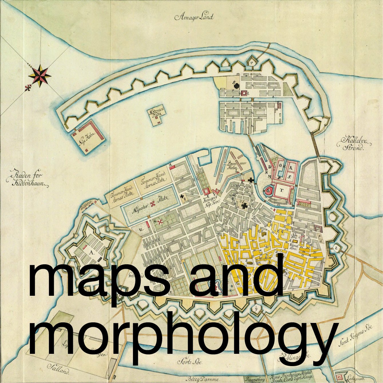
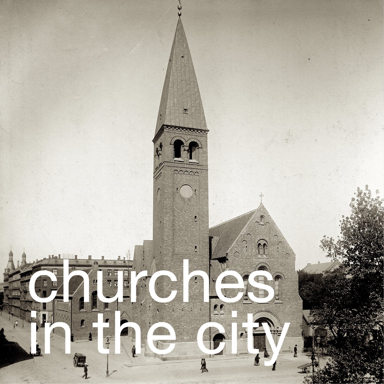
Military advisors opposed the plan … they were keen to expropriate all the land outside the embankments and then to resell the plots to finance new outer defences beyond the lakes. A demolition committee rejected this and produced a new plan in 1865 with dense blocks of new buildings but for the first time proposed a new Botanical Garden that extended outwards the open space of the King’s Garden with a clear formal relationship with the new hospital, completed in 1863, beyond that. Unlike Seidelin, they proposed that the Tivoli Garden should be retained.

There was an intermediate plan of 1866 that went as far as to propose a complete arc of open parks on the line of the moats but the final or “ratified” plan of 1872 kept Tivoli Garden and established three large parks on the line of the moat … Ørstedsparken, the Botanical Gardens and Østre Anlaeg. 

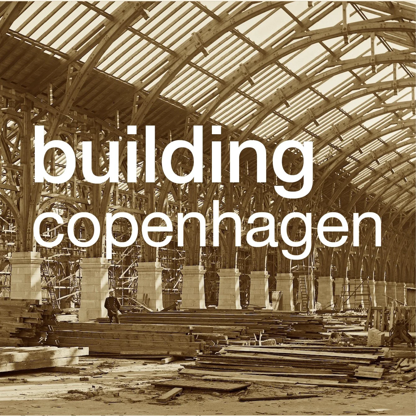
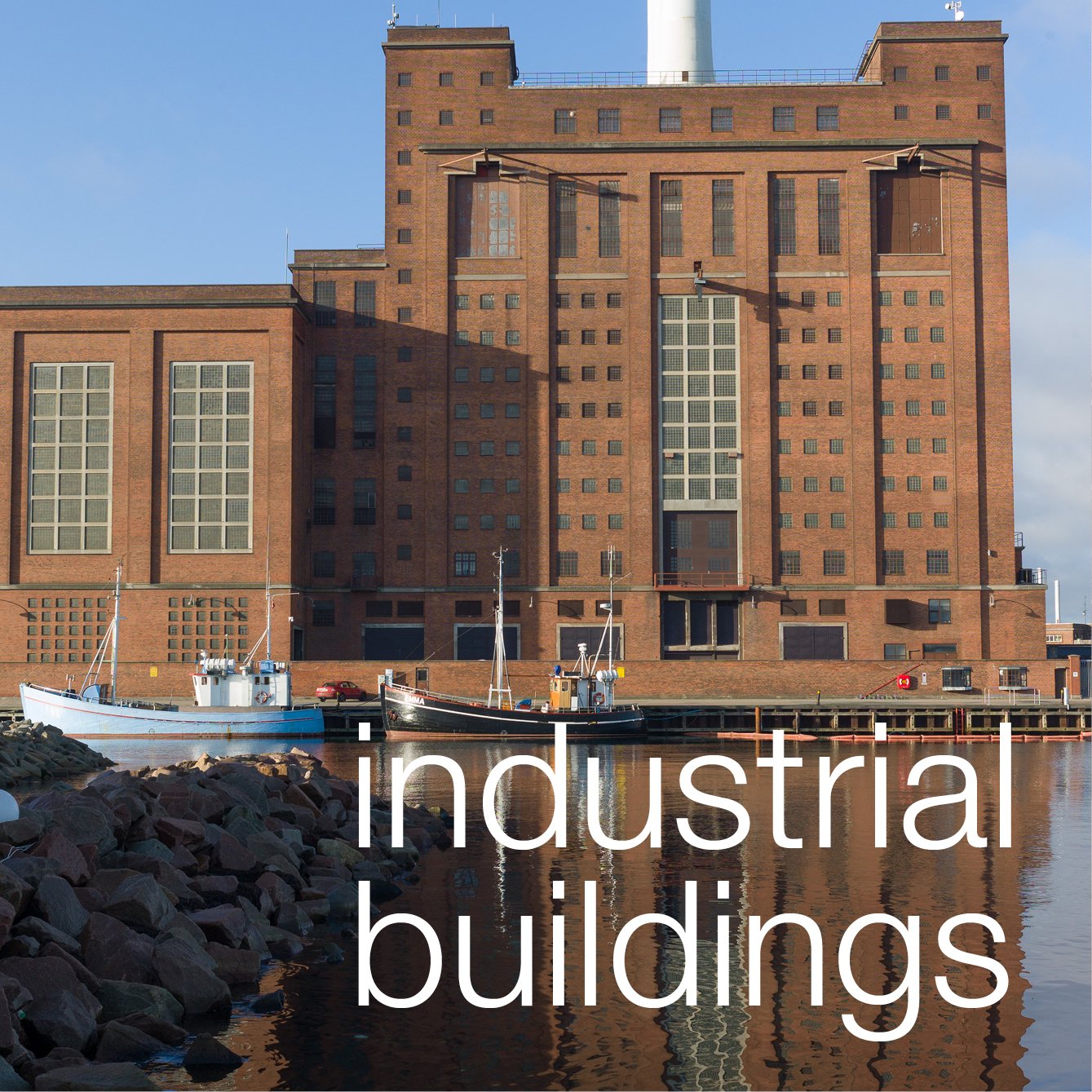
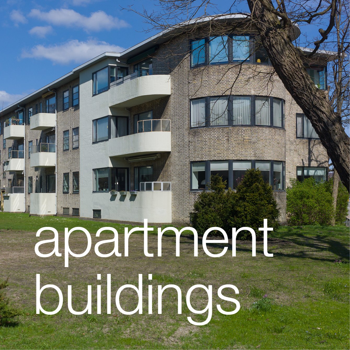
Work on removing the walls and some of the defensive ditches did not start in earnest until the 1870s. and the layout of new streets was, in the end, very different from Sedelin’s scheme, retaining not just Kastellet but also some of the ditches. A phenomenal number of new apartment buildings were constructed establishing a basic form, with courtyards, communal staircases and relatively mixed accommodation with, in many buildings, relatively large apartments on the first and second floors over, in many cases, shops or offices. There was clearly some, to use modern terms, social zoning with working-class apartments - for instance east of Israels Plads - and many with a single room but with much grander blocks along Grønningen and then later along Dag Hammarskjölds Allé where there were some apartments with 12 or more large rooms and complex arrangements for servants. 

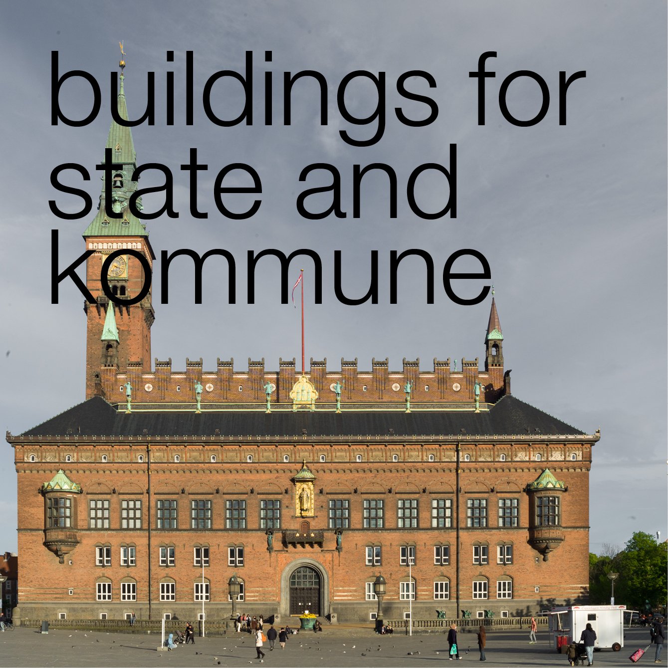
What is interesting about the plan, as it evolved, is that in the end there were substantially more open areas and public buildings than Seidelin had proposed. Sections of the defensive ditch were retained as lakes at the centre of large new public parks and gardens and some of the finest and most important public buildings in the city were constructed on the land opened up by clearing the city walls including a new city hall, a new national art gallery, the Glyptotek museum and gallery, libraries, academic institutions and the botanic gardens.

Building work progressed rapidly and, by the last years of the 19th century, blocks of apartments were being built well beyond the lakes as the new areas of Vesterbro, Fredriksberg, Nørrebro and Østerbro developed rapidly.

Many of the apartment buildings within the lakes were incredibly grand with bravado shows of craftsmanship in the brickwork, stonework and plasterwork of their facades. There must have been an amazing army of skilled brick layers, masons and plasterers in the city and, above all, this must have been the time when the furniture and other design trades in Copenhagen really became established on a commercial scale to decorate and furnish all those new apartments.