Copenhagen by the beginning of the 18th century
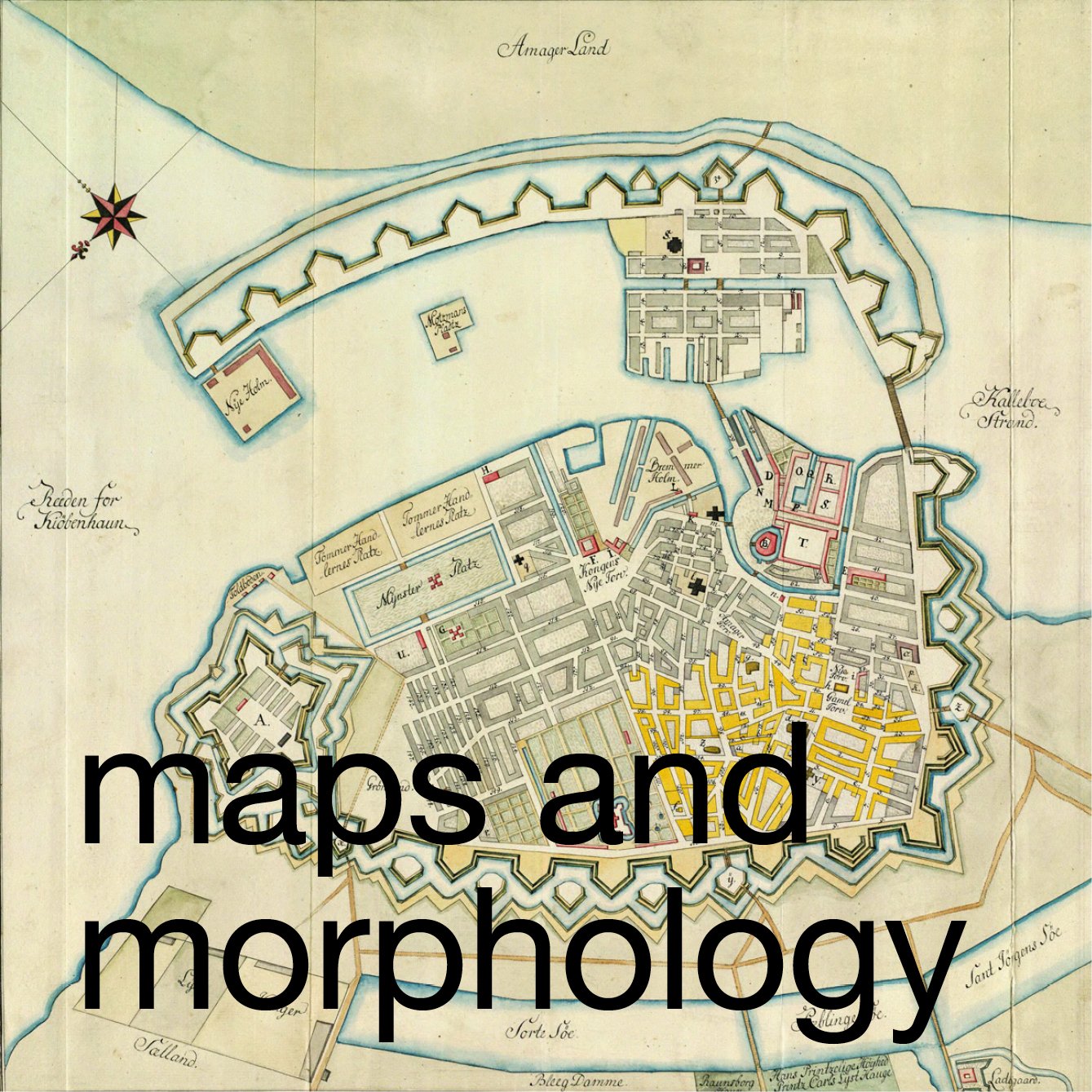
/A number of early maps show how the city developed and record features that may subsequently have been altered or demolished. This map, published in 1705, is important because it shows the city at a point of change and major expansion.
The late medieval city was relatively compact and was protected by a city wall with three gateways and with intermediate towers to protect the land side. From the west gate to the east gate was just 1,000 metres and from the north gateway into the city to the wharves of the harbour, on the line of the street now called Gammel Strand, was about 800 metres. That early core of the city is shown on the map of 1705 coloured in red.
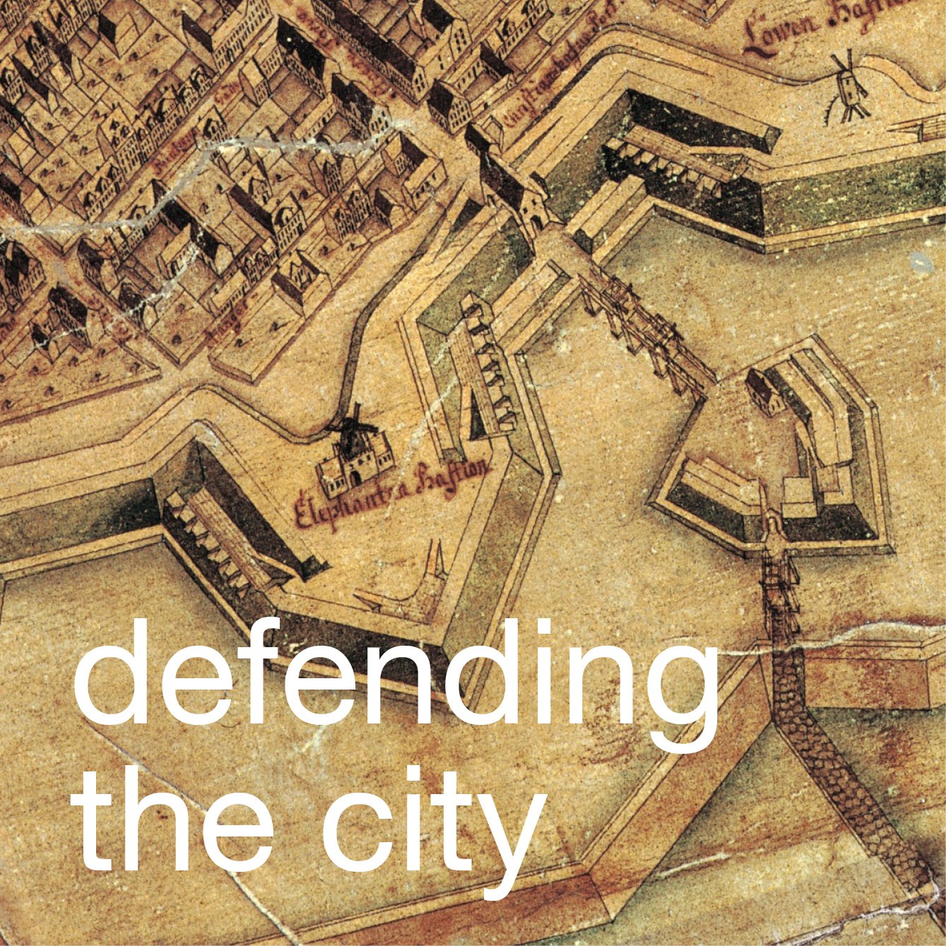
When work started in the early 17th century on a new royal house at Rosenborg the building and gardens, shown almost at the centre of the map, were outside the walls. A new castle or Kastellet (citadel) with its star-shaped defences was constructed to guard the north side of the city and to protect the entrance to the harbour. Work started in 1658 and in the late 17th century new embankments and moats were constructed to link Kastellet to the corner of the old city defences and at the same time the defences around the west and south side of the city were strengthened.
Copenhagen in 1705
The map shows the new area enclosed by the embankments which more than doubled the size of the city. Within that new area by 1700 were the then relatively new rows of house ... the Nyboder houses ... for navy personnel. Over the succeeding decades, through the 18th century, the royal palace, the Marble Church and the grand houses of Frederiksstaden were built over the plots and gardens shown on this map.
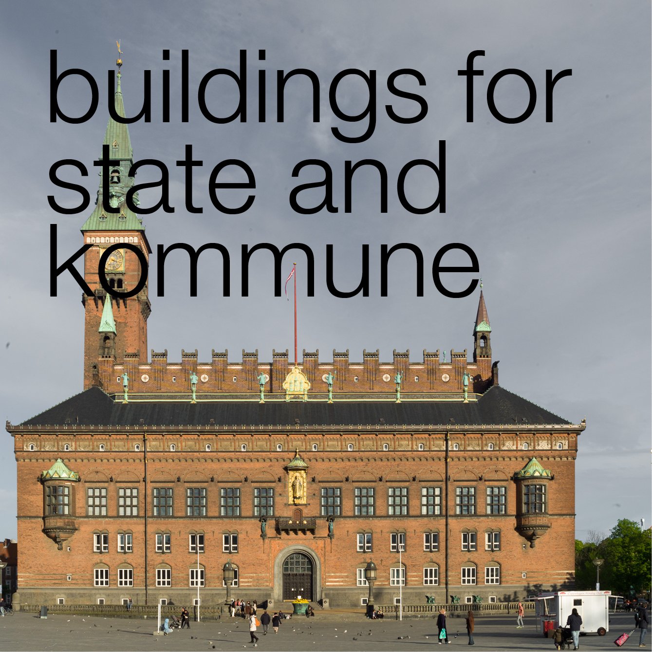
Wharves and the harbour of the medieval city were defended by a castle that had been constructed in the 12th century on an island just off the shore. Over the following centuries it was enlarged but parts of that first castle survive below the palace and government buildings of Christiansborg.
By 1705, beyond the castle, on the other side of the harbour, was Christianshavn, begun in 1618 for Christian IV as an independent sea port that was also defended by embankments and bastions.