
Sankt Jørgens Sø - planning for climate change
/

Sankt Jørgens Sø from the north with the Tycho Brahe Planetarium at the south end
Planning for one of the most dramatic and extensive climate-change schemes in Copenhagen has been put on hold for more detailed consideration.
This is a proposal to change Sankt Jørgens Sø - the southernmost of the three lakes that form an arc around the west side of the historic city - so that it can hold back flood water when (not if) there is a major rain storm.
To understand what is now proposed, it is important to understand the topography and something of the history of this part of the city and its development over the last five centuries.
In fact, Copenhagen as a settled site, dates back over a thousand years. The settlement was established on slightly raised ground on a gentle, south-facing slope with the open sound between Denmark and Sweden immediately to the east but the trading settlement was tucked around slightly, with its water frontage facing south and protected by the low-lying island of Amager across shallow water almost 2 kilometres to the south and with higher land of what is now Fredriksberg to the west that provided some protection from the worst of the winds and rains that come from the west.
one of the proposed schemes showing the lower level of the lake and a new park
a proposal for lowering the lake
and setting out a new park
by the engineering consultants Ramboll


1658
this map was produced as the military defences of city were extended north - out to the Citadel - Kastellet
1860
the military defences including the north and the west gates into the city were not removed until the 1870s but the lakes had already taken on their more regular outline and there were settlements or suburbs out beyond the lakes
1888
note here the railway line out of the main station then went from marshalling yards east of the lake and left the city across the broad causeway across the north end of Sankt Jørgens Sø
now
image from Google Earth
Tycho Brahe Planetarium at the south-east corner of the lake was designed by Knud Munk and opened in 1989
Between that settlement and more open countryside to the north and west there was an arc of low and poorly-drained ground that provided a natural defence across the back or landward side of the trading city …. open ground that could be defended from the defences of the city itself and, better still, wet bogey ground that would slow down an advancing army.
In the 1580s, in a major piece of landscape engineering, a river to the west of Copenhagen that drained naturally to the south, was diverted in a great loop to flood this lower ground. That river entered the lakes at what is now Åboulevard - at the top end of Sankt Jørgens Sø and although this is now a main road route into the city, the river survives in a covered culvert below the road.
The line of lakes not only improved the defence barrier - any army attacking the city from the land side would have to cross this water - but the system also provided a constant supply of drinking water for the expanding city.
There were extensive military defences at the north end, between the lakes and the sound, and at the south end, between the lakes and the south end of the harbour, and with smaller defences around causeways across the low land. These lower defences went around Sankt Jørgens Sø suggesting that the city was protecting its water supply.
Until the 18th century, the area of water in the lakes was irregular in shape - particularly at the south end - and there were few buildings - statutes kept the area clear so there was no cover for attackers. The margins of the lakes seem to have had low scrub and reeds.
In the late 19th century, after the defences and the old city gates were removed, the city expanded rapidly outwards, first across the line of the defences, then up to the edge of the lakes and then on outwards beyond the lakes to new districts of housing in Østerbro, Nørrebro and Vesterbrø - all beyond the lakes.
With the construction of a wide new "bridge" across the lakes 1887 - on the line of the original approach to the old medieval north gate - the sides of the lakes were straightened and embanked to form a sharper edge and for a pathway all round the lakes …. over 6 kilometres for a complete circuit so the lakes are a major amenity for walkers, runners and for families … feeding the ducks is popular.
The current level of the water in Sankt Jørgens Sø is maintained artificially. Kampmannsgade - the road across the centre of the lake is below the level of the water in the lake; the west bank - called Svineryggen or Pigs Back acts as a retaining bank although the small park at the centre of the west side, outside the bank and much lower than the path, always seems to be bogey and a broad pathway across the south end of the lake disguises just how much the difference is between the level of the lake on one side and the level of Gammel Kongevej below the bank.
The proposal being considered would mean returning the lake to it's natural level so that if there was a major rain storm then the area would be allowed to flood, taking water from the densely built-up streets of Fredriksberg to the west and holding the water to prevent it damaging drains and sewers and flooding streets.
a map from 1705 shows the course of the river that was diverted in the 1580s to bring water into the lakes at a point between Peblinge Sø and Sankt Jørgens So - on the line of what is now Åboulevard - and this and the historic map below show the military defences of the city enclosing the lake
painting by Christen Købke of the north lake in the 18th century looking across to the city
Management of water levels in Sankt Jørgens Sø - surface water flowing into the lake and the release of water out to the harbour - and the control of the quality of the water in the lake are part of the management of drainage in Frederiksberg, Vesterbro and in the western part of the centre of Copenhagen by the water supply and drainage company Hofor.
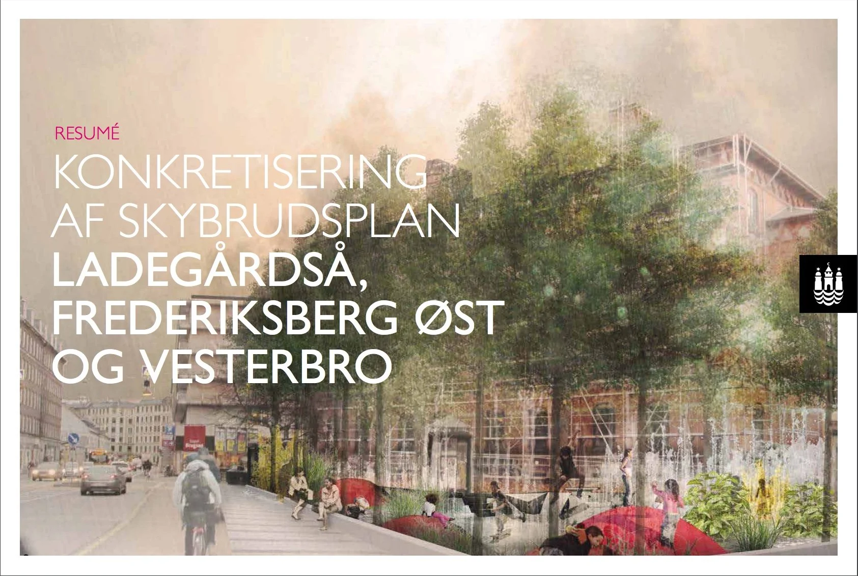
A well-illustrated report, published by Hofor, shows how Sankt Jørgens Sø fits within the overall management of storm water in this part of the city.
Konkretisering af Skybrudsplan Ladegårdså,
Frederiksberg Øst og Vesterbro
There are three possible schemes that are being considered for the management of storm water flowing through Sankt Jørgens Sø.
The first is the most dramatic in that the level of the south part of Sankt Jørgens Sø, the part south of Kampmannsgade, would be lowered by over 3 metres and in compensation, or as a new amenity, the exposed land would become a large new park that would be allowed to flood if there was a storm.
The second scheme would see both parts of the lake lowered but not by as much so there would be a narrow park along the whole of the west side.
In the third option there would be less change in the level but new large pumping stations, to deal with flooding, would have to be constructed.
After further consultation, an impact assessment will be completed in 2020 and a final decision will be made in 2022.


