Nordhavnsvej and a northern harbour tunnel
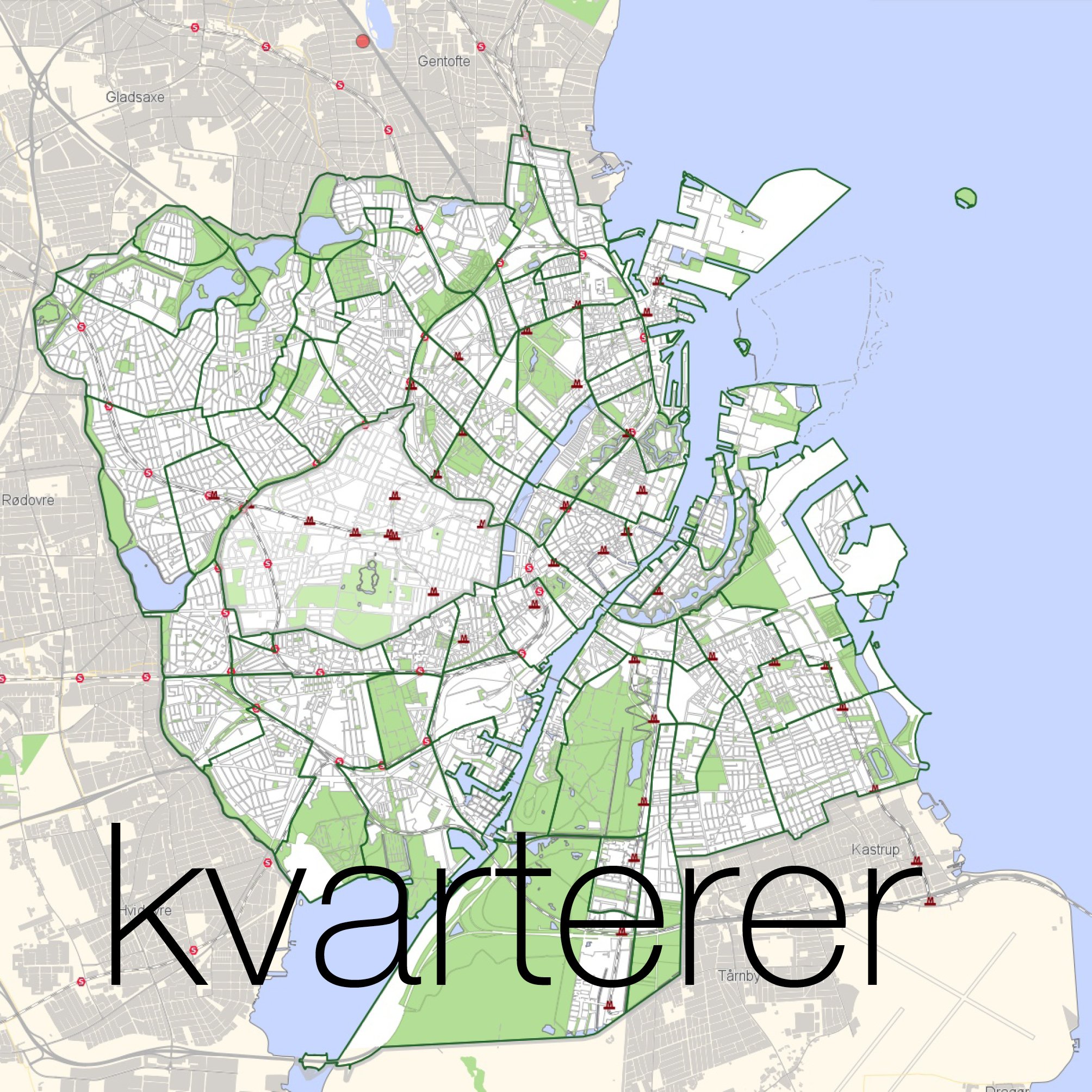
/The planning proposals for Copenhagen dating from 1947, known as the Finger Plan, has served the city well as it expanded out to new suburbs in the north and the west but as the centre of the city becomes more intensively built up - for instance in the area south and south west of the main railway station - and as there is more extensive and more intensive development of the harbour and on Amager - south and east of the centre - in the opposite direction to the spread-out hand of the Finger Plan - then rather different and very ambitious engineering works for new infrastructure are needed. Extensive new road tunnels have been proposed to take traffic around the south side of the city.
Coming in towards the city from the north, from Helsingør, the E47 swings out and around Copenhagen to the west but at Jægersborg, where the motorway crosses over the old Kings Road - an interesting piece of late medieval infrastructure - there is now an intersection where traffic can sweep round to head into the city along what is, at that point, called the Helsingørmotorvejen. Just over 4 kilometres out from the centre of the city the motorway reaches a broad valley running east west which is the place of a complicated intersection of railway lines around the station of Ryparken. The motorway merges into a main city road, Lyngbyvej, but immediately north of the railway, a new road has been built to cut out to the east, to the coast south of Hellerup and to a new tunnel that will go under this part of the harbour, under the marinas, to Nordhavn - the new development area with its massive terminal for cruise ships and with new housing and new work places for 40,000 people. This is infrastructure and development on an impressive scale is moving forward fast but it also shows clearly that any new infrastructure has to work with a complicated pattern of existing transport links.
The proposal is to extend that tunnel on so that traffic could continue on from Nordhavn to Refhaleøen, on the other side of the harbour, and then on again south, running roughly parallel to the harbour, before emerging first at the the south end of Langebro and then on again in a tunnel to west Amager to link back with that western outer arc of motorway that by this point is called the E20 as it heads for the bridge, for Malmö and for Sweden.
So a new tunnel system - under the harbour to Nordhavn and then on under Amager - would be the eastern half of a ring road.
The only problem, as always, will be that motorways or relatively fast-moving main road do not just take traffic out or take traffic round but bring traffic rapidly in where it then finds itself backed up or tangled in the traffic of the existing smaller and busy and slower urban streets. A reality is that motorways and tunnels rarely solve a problem but simply move it along and, too often, have consequences that somehow had not been predicted. Add to that the fact that big infrastructure takes time so planning is an odd mixture of being reactive, proactive and, even if unintentionally, creatively obstructive or possibly destructive as the world and its problems change or move on faster than the project timetable.
The tunnel, if completed, will bring new options for development and therefore significant change to Refshaleøen and to the coast of Amager - particularly in the area just beyond the important open space of Kløvermarken. Inevitably citizens or rather their politicians and planners will have to decide if that is what Copenhagen as a city wants or needs but it will certainly mark a clear change from what, with hindsight, now seems to be the simpler and somehow gentler and slower-moving overall plan for the expansion of the city that was envisioned with the Finger Plan.
