
Søringen - a motorway along the lakes
/
Not all major road schemes proposed for Copenhagen have been good and, more important, not all major road schemes get built.
Perhaps the most ambitious and most contentious and, if it had been built, the most destructive road scheme proposed was the lake motorway that was planned in 1958 and approved by parliament in 1964.
Two problems had been identified by planners. The first was how to get road traffic in to the centre of the city quickly and how and where to build a brave new metropolis to show Stockholm and Paris that anything they could do to be thoroughly modern, Copenhagen could do too.
The solution? Traffic from the north came down what is now Helsingørmotorvejen and Lyngbyvej, Nørre Allé and Tagensvej to the shore of the lake. This was to be made into motorway all the way but instead of continuing on over the lake and down what is still Sølvgade it was to do a sharp turn south and continue down the lakes … literally down the lakes against the city side … with six lanes of traffic in each direction (that’s right - a 12 lane motorway so actually rather more like LA than Stockholm) and then, at the south end of the lakes, everything, or just about everything except the recently-completed SAS Hotel by Arne Jacobsen was to be cleared for a brave new world of office blocks and public squares over a huge area west of the main railway station.
Work actually started on clearing housing on the outer side of the lake in 1973 but, when the scheme was abandoned, that area became a rather odd long narrow park running up from the lake to the hospital. The Panum Institute, where building work started in 1971, was set back to respect the alignment of the new motorway.


from the hospital looking down towards the lakes - this is where buildings were demolished in anticipation of constructing the motorway
from the bridge looking out of the city where buildings were demolished - the roof of the hospital is just visible over the trees
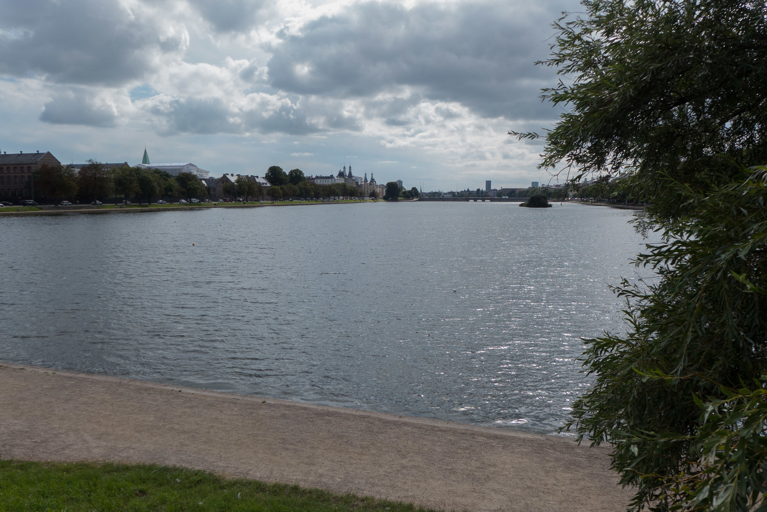
from the bridge where the motorway would have turned down the lake with twelve lanes down the left or city side heading to Vesterbro
the new park looking from the lake towards the hospital - the exercise equipment is where there would have been six lanes of road heading out of the city
Note that the plan published in Politiken shows dotted the line of a harbour tunnel from just above Svanemøllen - from the east end of what was proposed as a middle ring road - across to Refshaleøen and on to connect to the top end of a main road running down the east beach of Amager. The bridge to Malmö was part of the scheme but the airport was to have been moved out to Saltholm and much of Amager was to have been a major new housing scheme.
south down the lakes towards Vesterbro
The lakes are a much-appreciated features of the city used for walking and talking, running and playing but they were so nearly reduced to a narrow strip of water beside an urban super highway.


