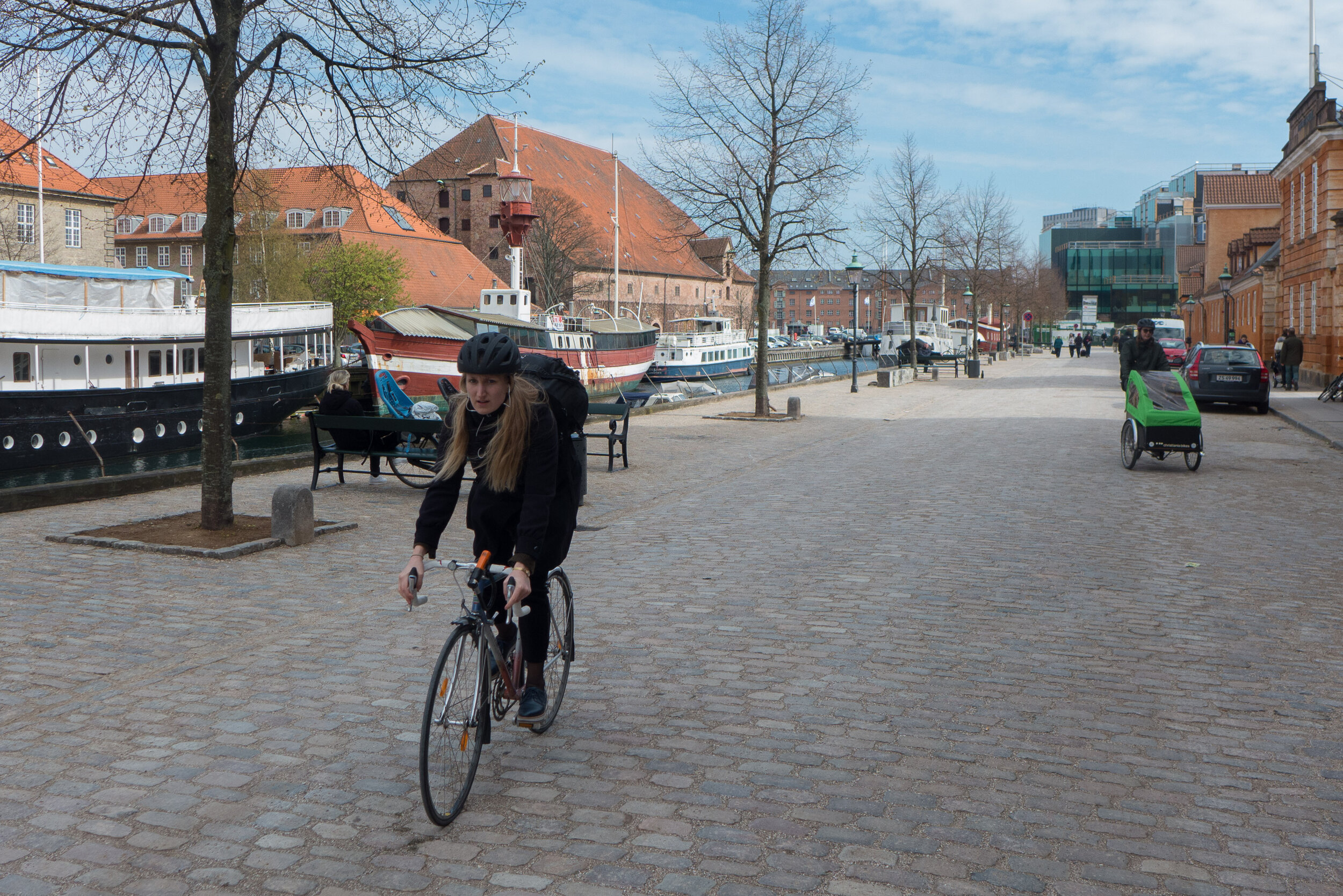
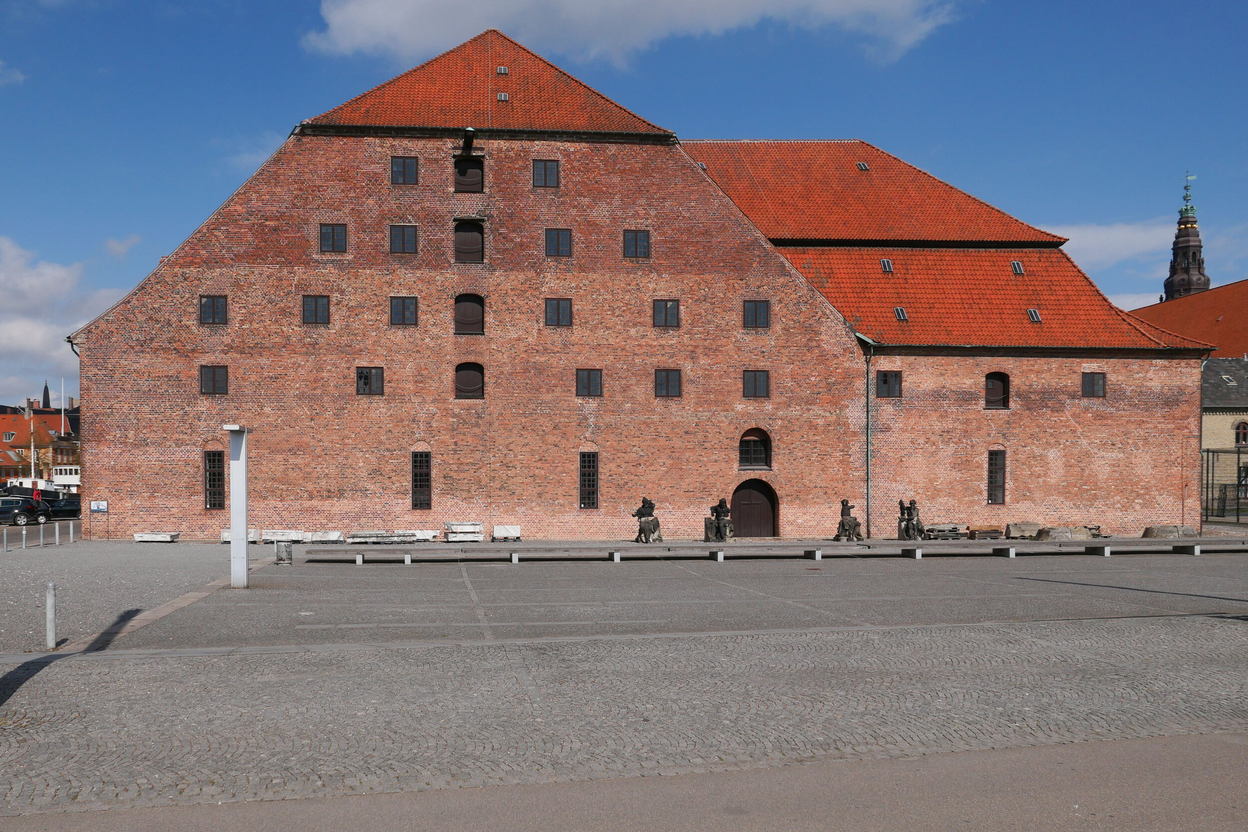
a walk along the lane of the outer defences


On Sunday afternoon I walked up to Refshaløen to see Yet it Moves! - an exhibition that has just opened at Copenhagen Contemporary.

Door to door it’s about 2 miles or just over 3 kilometres.

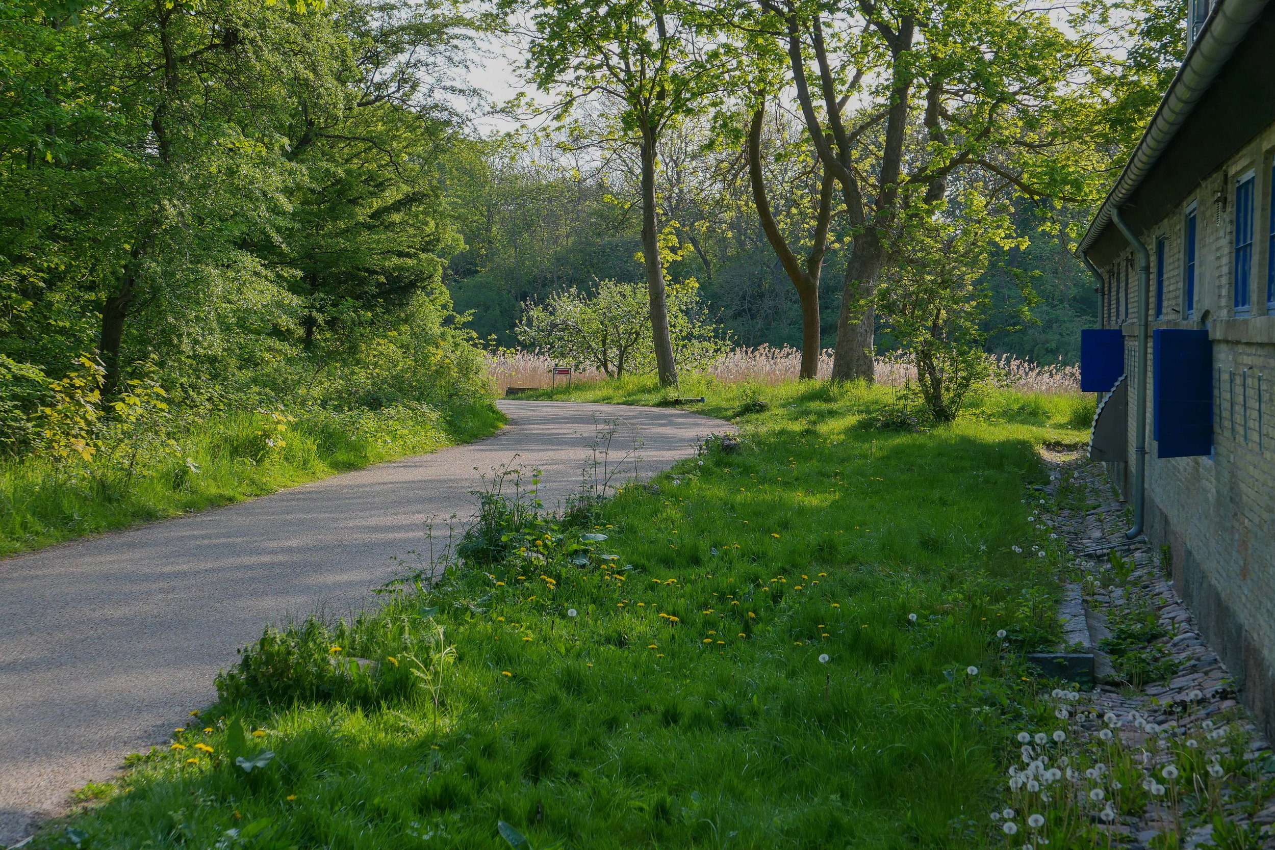
From my apartment I crossed over the open space of Kløvermarken and at the old outer defences, instead of crossing over Dyssebroen - the bridge to Christiania and the route I would take to get into the city - I headed north along Middyssen and Norddyssen and the line of four redans. This was the outer line of defences of the city that were reinforced in the 19th century to protect an area of water outside the bastions of Christianshavns Vold that protected the part of the harbour where the large war ships of the Danish navy anchored when they were in Copenhagen.

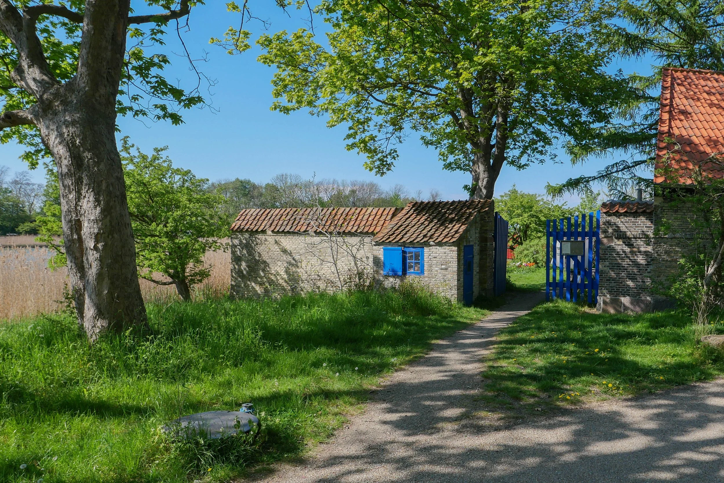
This outer defence is a narrow strip of land with a lane on the city side between the redans. These redans are triangular and have buildings surviving from the military fortifications. They project out so that from each there was not just a view out towards Amager, to see if attacking troops were on the move, but also gave the defending soldiers a view each way along the outer face of the bank to give covering fire.

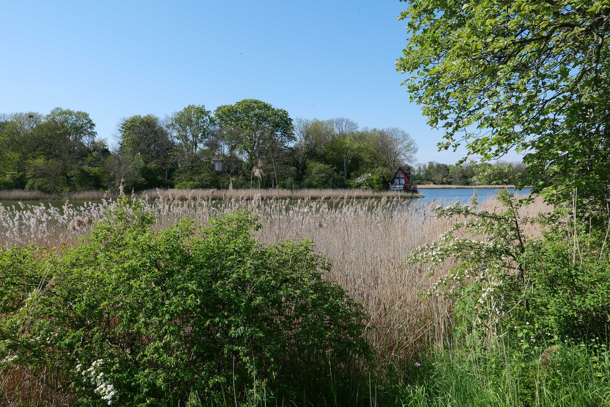
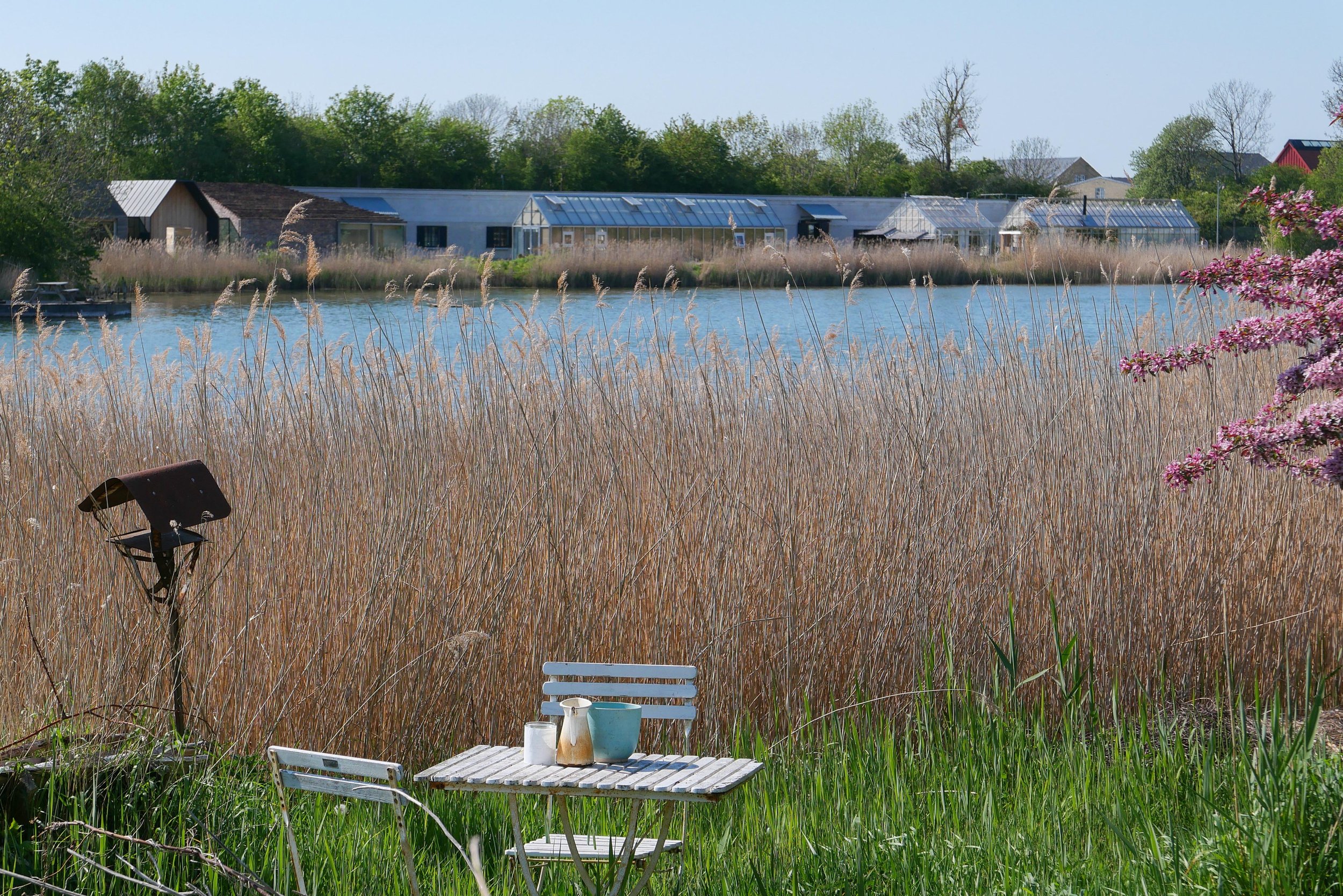
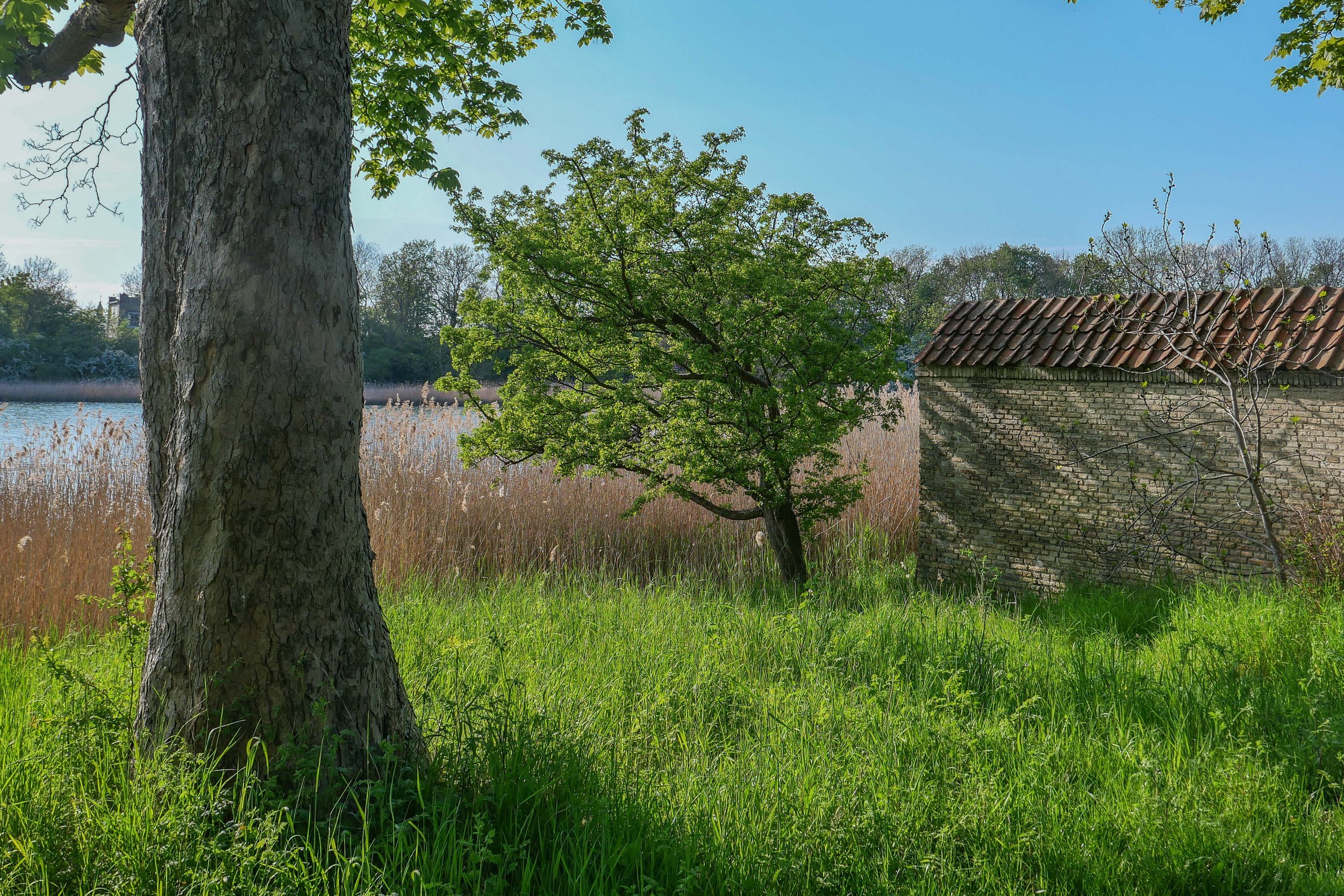
There is a wide stretch of water to the west, to the city side, with views of the bastions of Christianshavns Vold. Even though this is looking towards the centre of the city, about all you see across the water are reed beds and the trees on the banks and bastions with just a few low buildings including a group of green houses and outbuildings of the restaurant Noma.

On the outer defences, on the side of the lane away from the city, there is a low bank, now covered with trees, but originally this provided cover for troops moving along the inner lane. On that outer side of the outer defence there is now a shallow stream that is all that is left of a wide stretch of marsh and shallow water between the defences and the original shore of Amager.

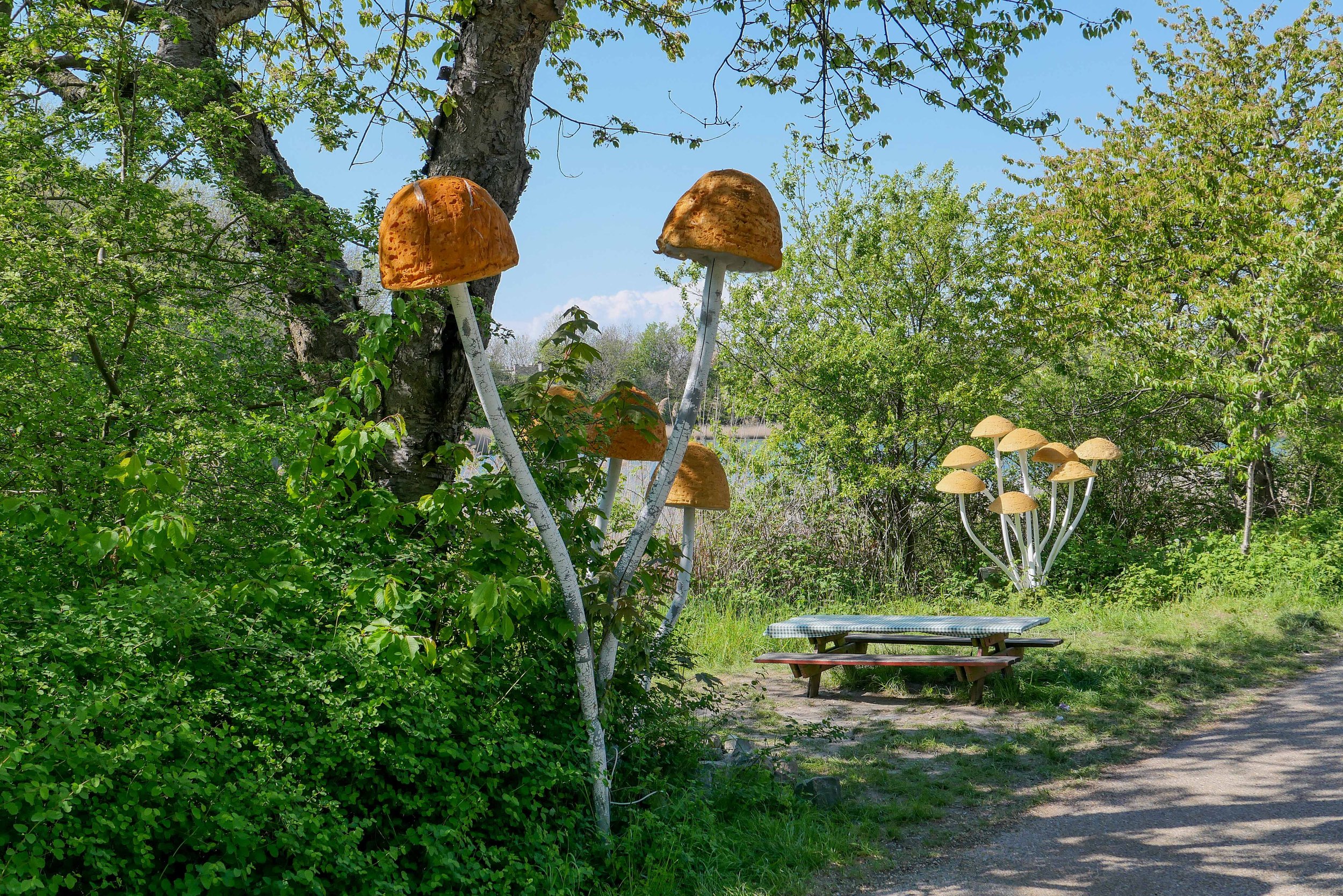
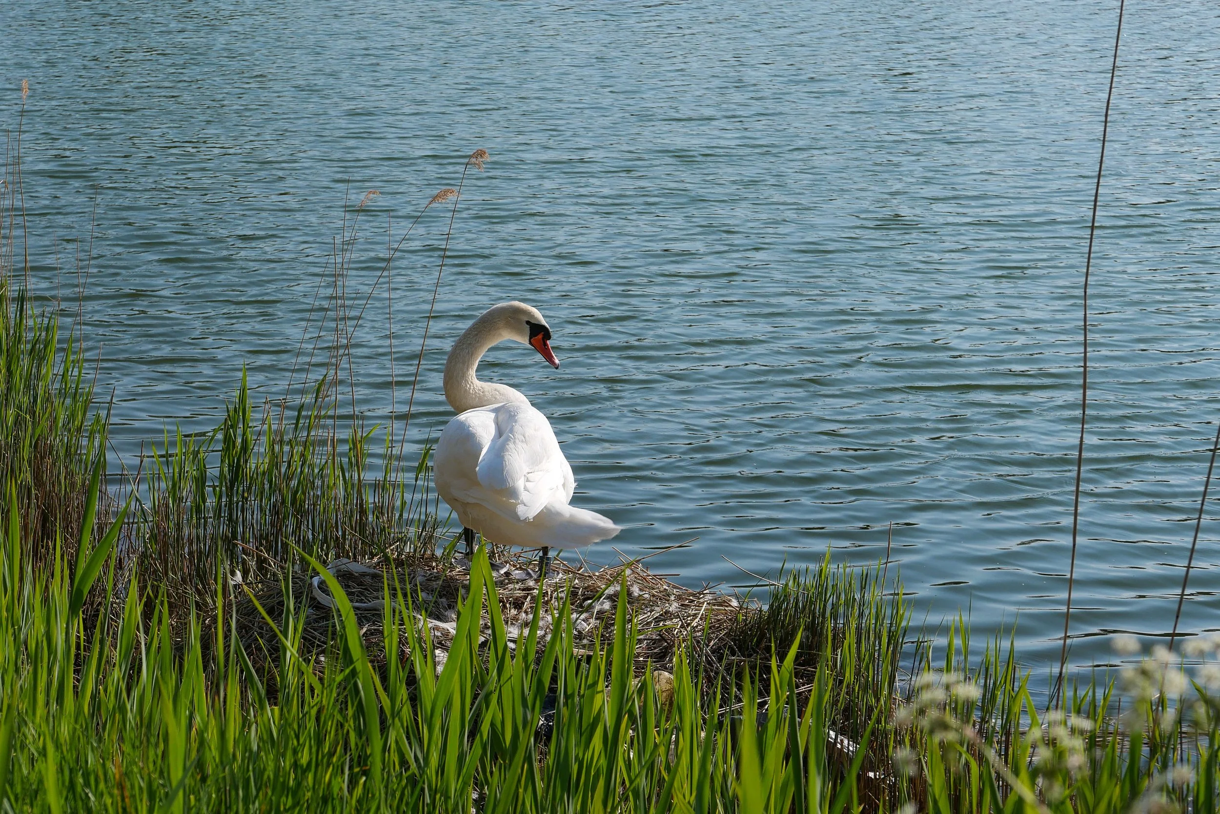
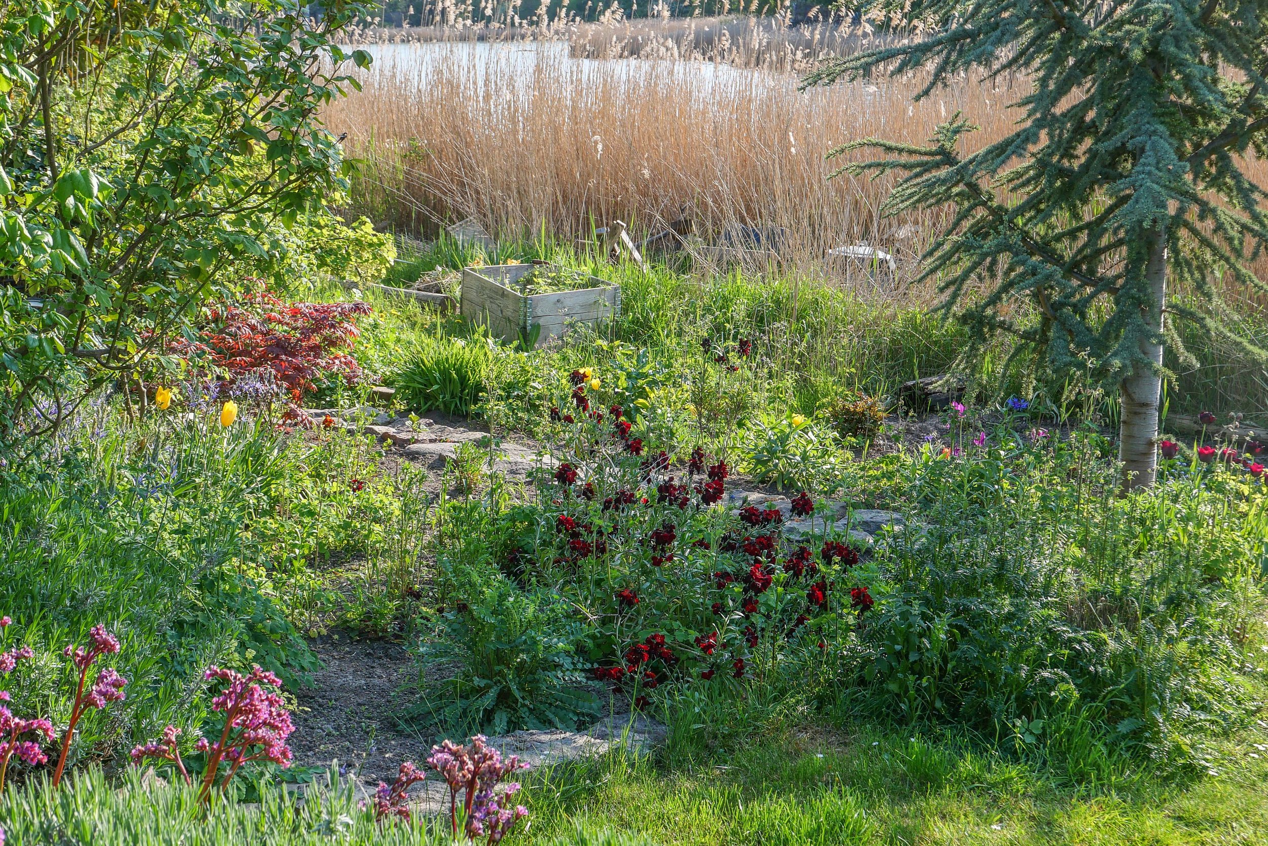
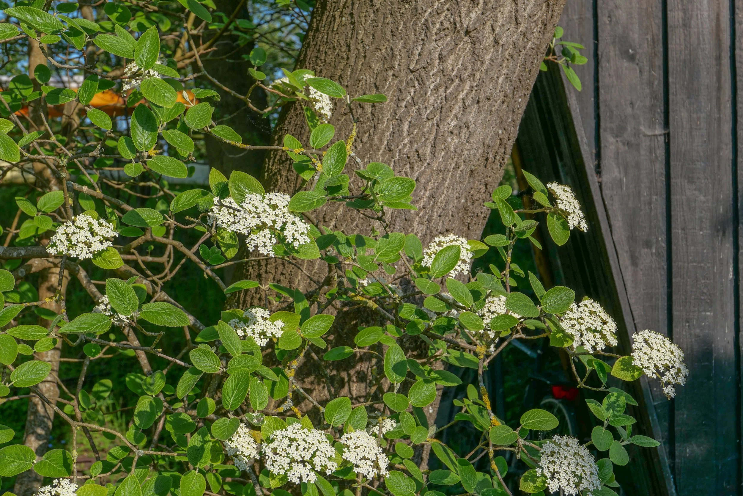
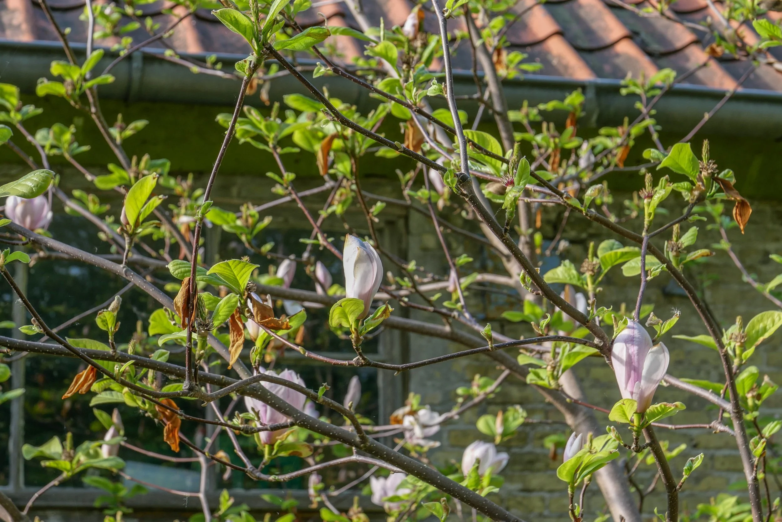
This is not nature in the raw but the dense planting includes mature trees and good growths of shrubs including decorative species like magnolia and lilac. Small gardens have been established by families living here and the wide stretch of water has extensive reed beds along the shallow water of the shore and it is a haven for water fowl.

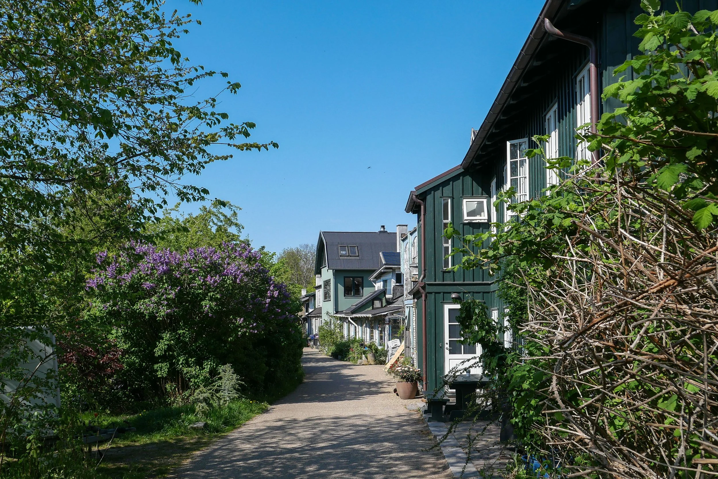
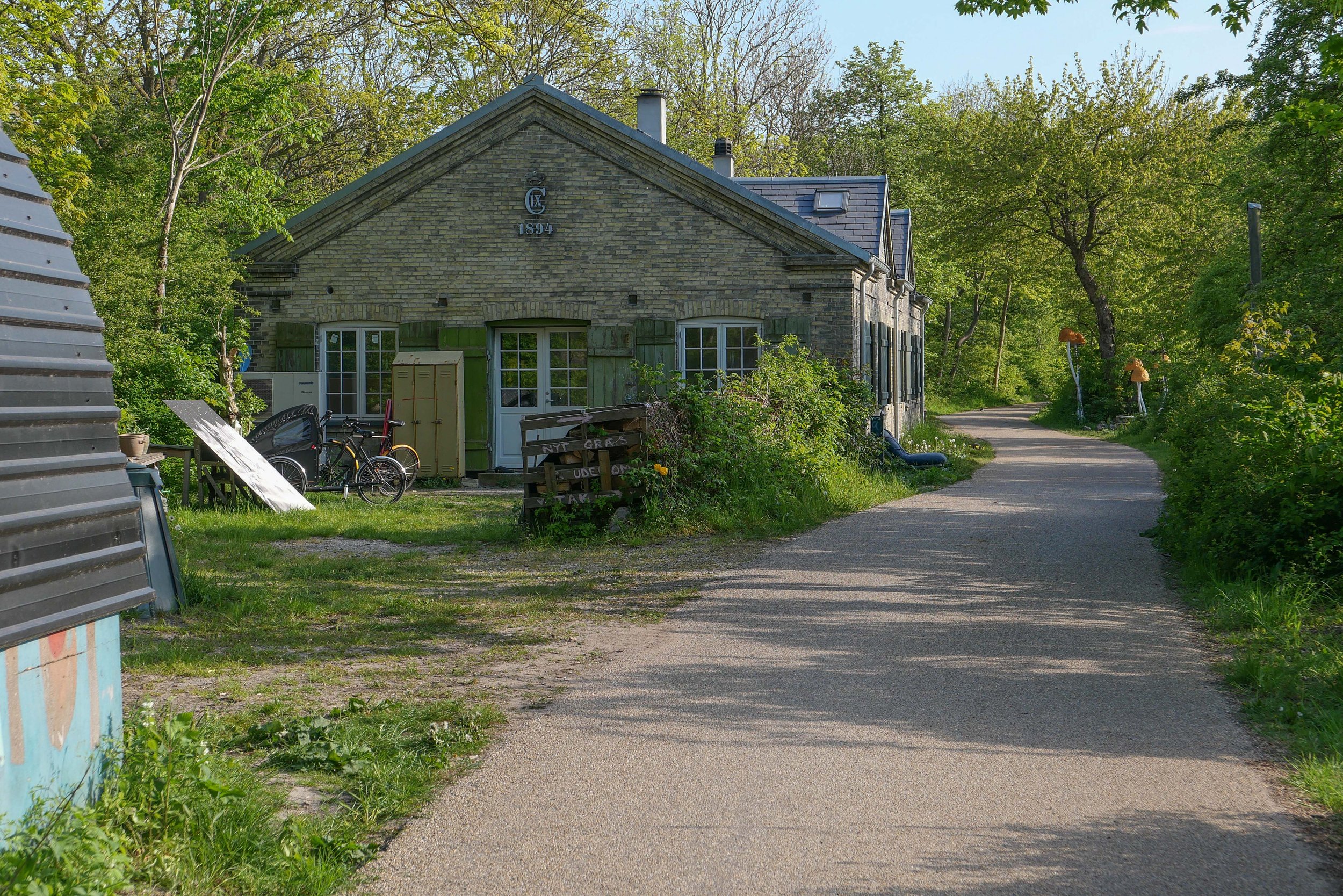
Houses along the lane are part of the settlement of Christiania and were built with salvaged and reused materials and long before most people even considered that rampant redevelopment in concrete and steel could possibly be a problem.

I said walk but it was more like a slow saunter taking photographs as and when.
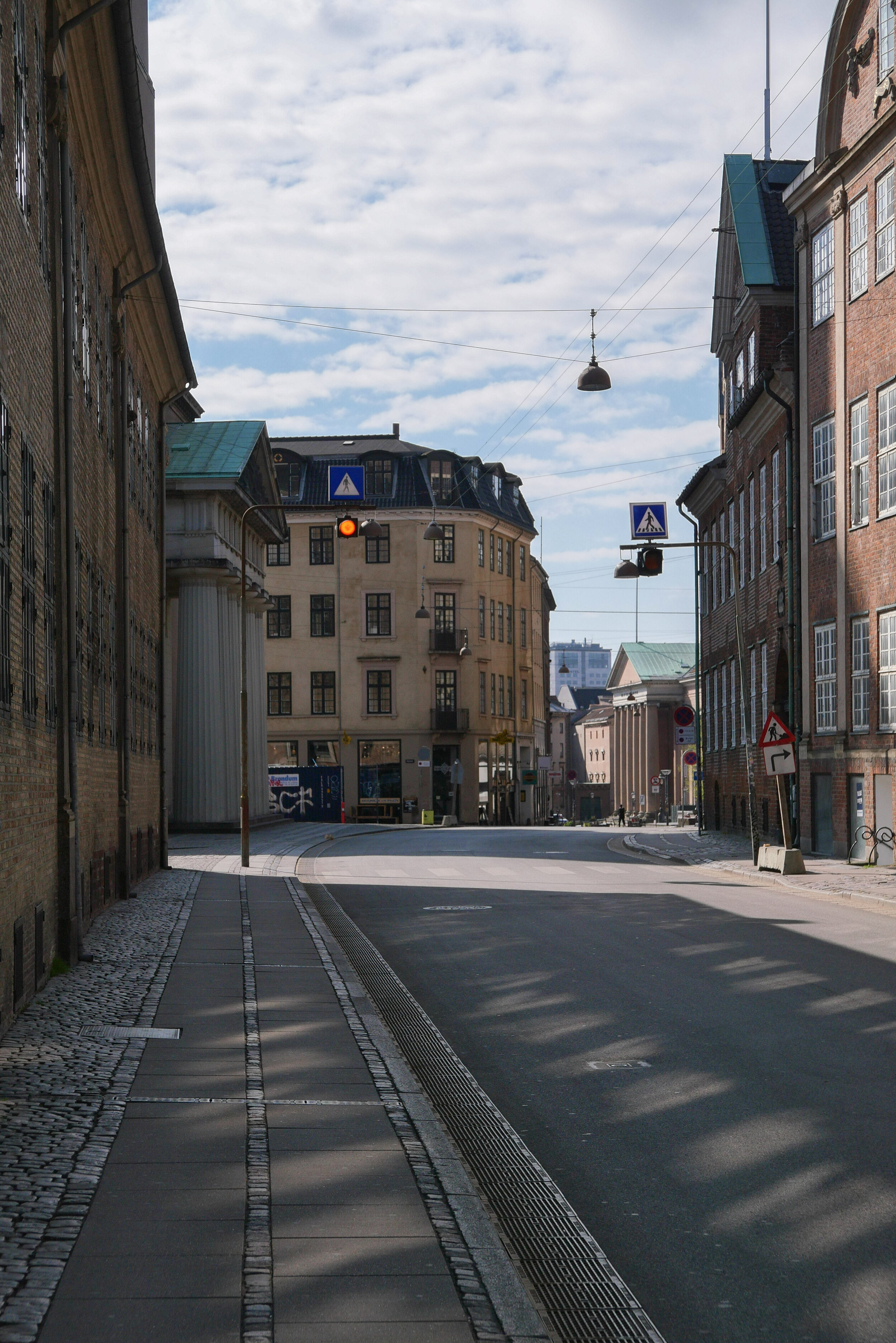
I saw the exhibition at Copenhagen Contemporary and then headed back as the light softened. The photos above are shown simply in the sequence I took them.
Every time I do this walk, I appreciate that this is an amazing part of the city because here I am not out on some distant country lane but just a kilometre or so from the centre of Copenhagen.

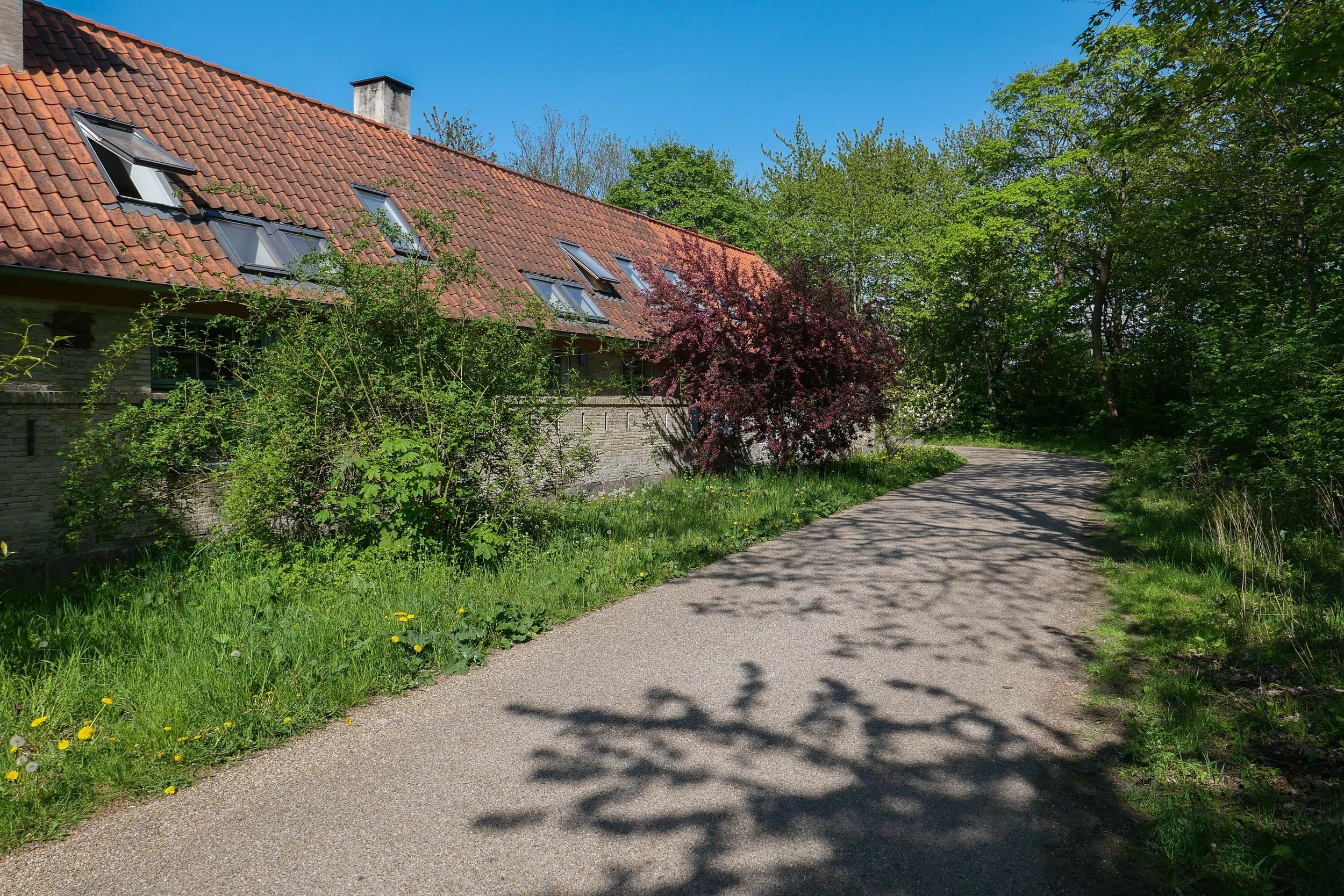
Platform C - Syddyssen by Fokstrot

Dyssebroen … the bridge from Christiania to the outer bank of the defences
on the far side of the bridge, syddysen is the lane to the right and middyssen is the lane to the left

① Kløvermarken
② Dyssebroen
③ Øens Have
④ Copenhagen Contemporary

map of Copenhagen from 1728 with the inner and outer defences around the harbour … long before the construction of shipyards at Refshaleøen … the L-shaped island at the centre of the harbour is what is now known as Papirøen

a walk from Nørreport to the harbour

If visitors, new to the city, know any one street name then it’s likely to be Strøget - the Walking Street - even though Strøget is not one street but a series of old streets and squares between the square in front of the city hall and the large square of Kongens Nytorv …. a route from the site of the old west gate of the medieval city to the site of the old east gate.

So it’s an easy and popular route across the width of the old city and, because it was pedestrianised in 1962, it is a good way to get a feel for the city and it’s streets and squares.

However ….. if you are new to Copenhagen and want to get a less crowded so quieter feeling for the size of the city and of its topography and its architecture, then perhaps a better route for a first walk would be to start from the metro or suburban railway station at Nørreport - the site of the old north gate - and walk down to the harbour.

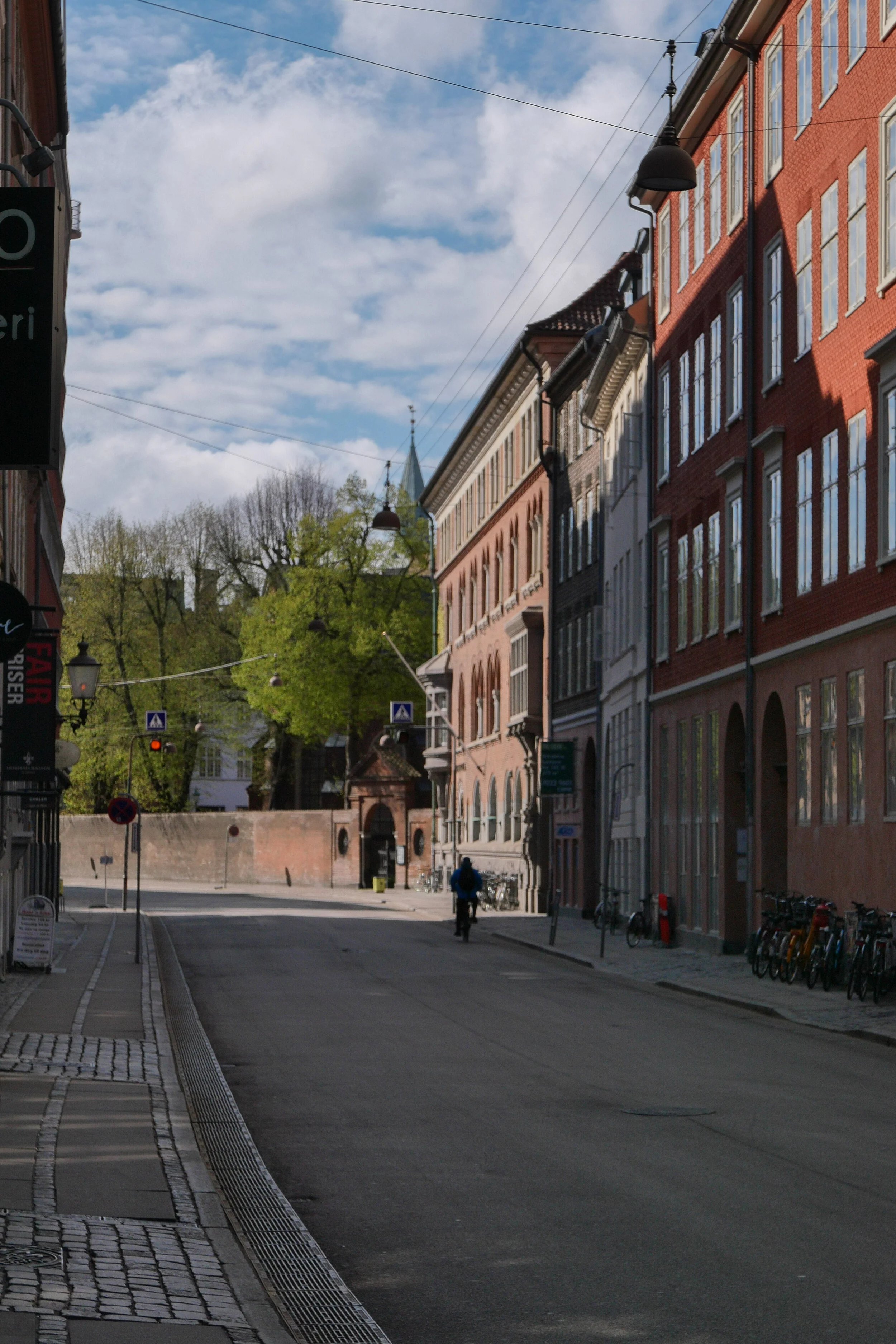
The first part of Nørregade does not look promising. It’s fairly narrow with ordinary houses and shops from the late 18th and 19th centuries. There are interesting buildings like the Folk Theatre, on this first part, pavements but street furniture does not appear to be as carefully kept as on some of the other and more popular streets. 

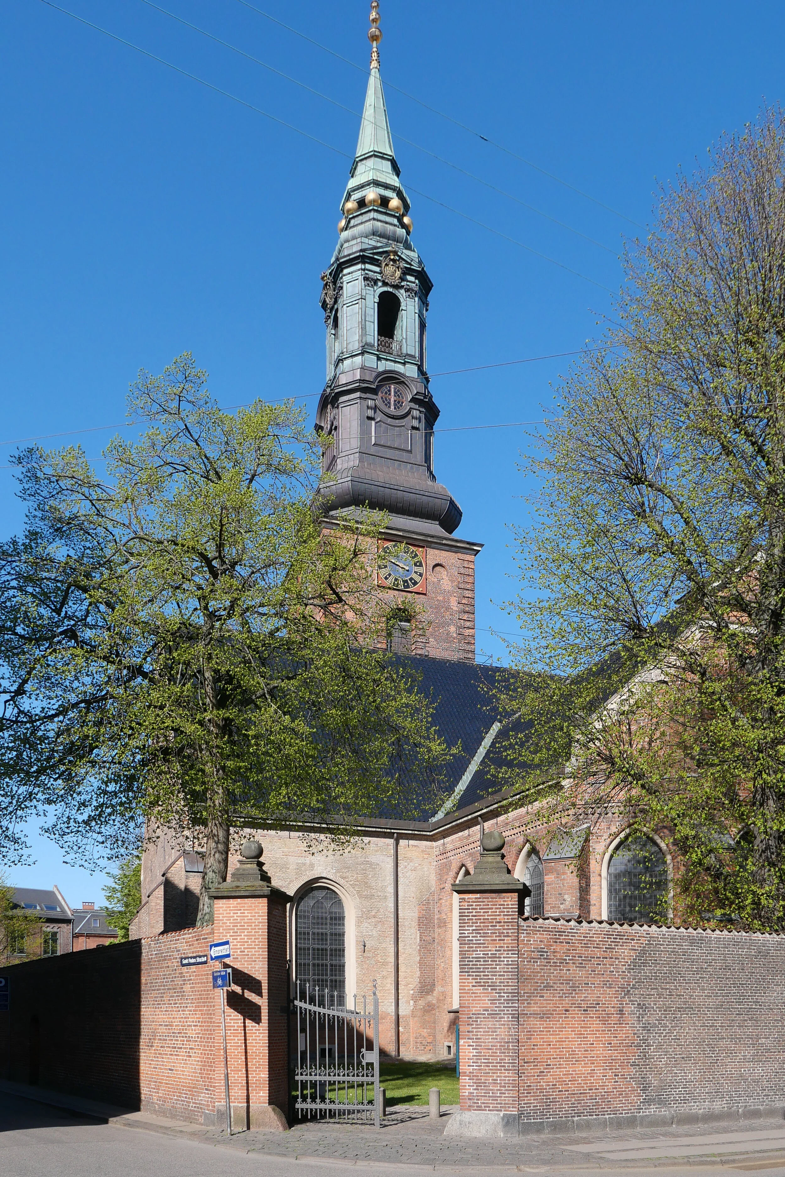
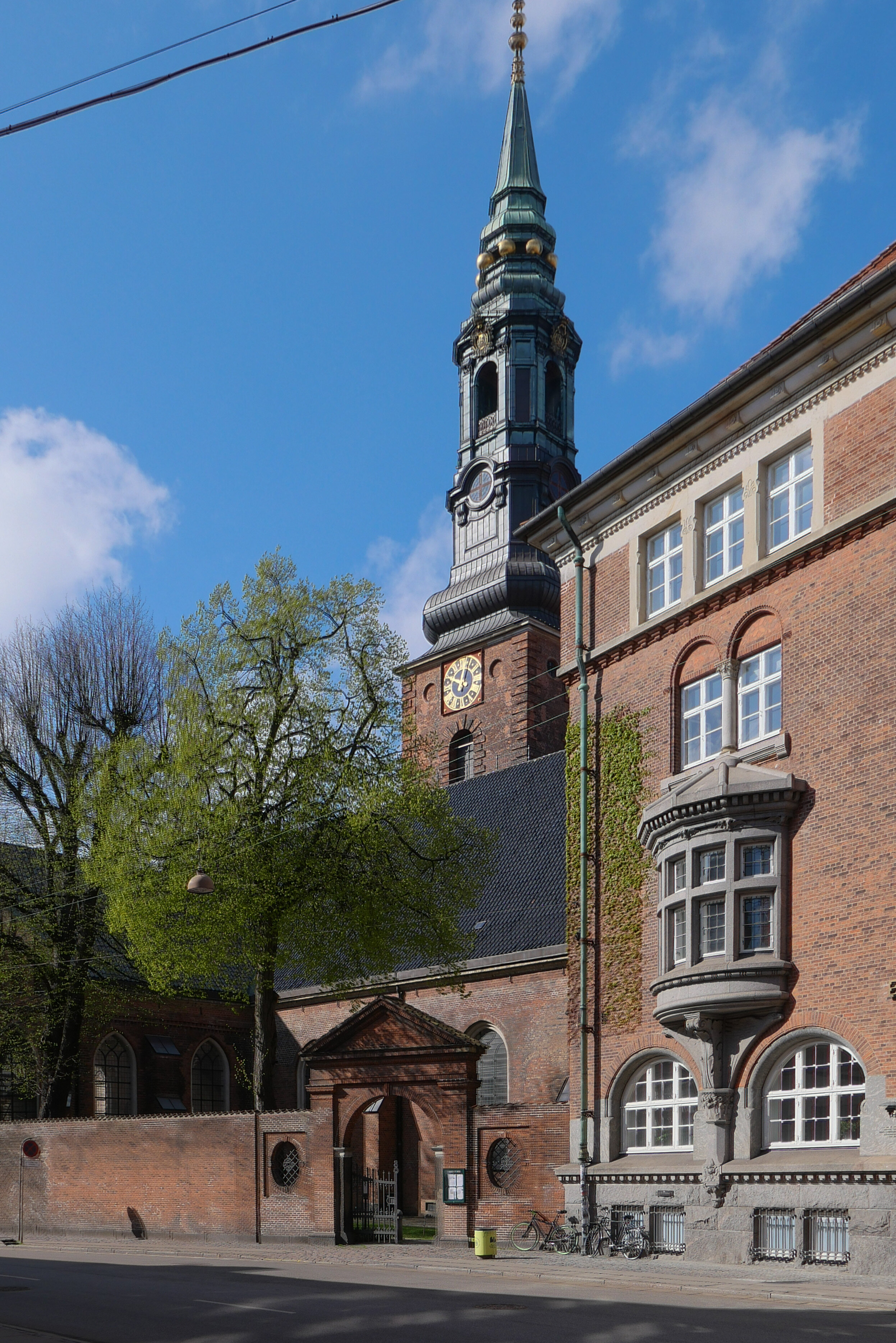
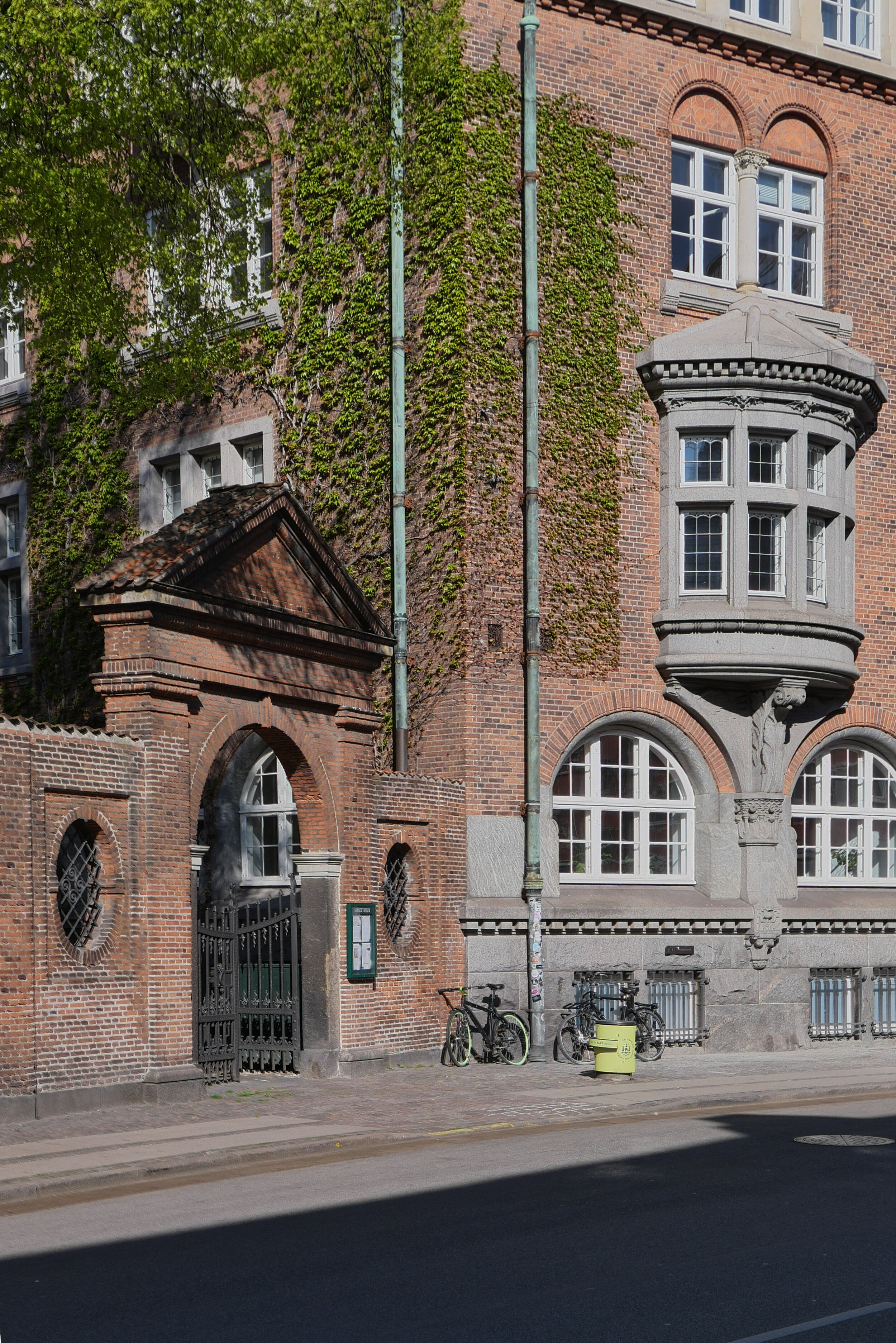
The first major building is the fine brick church of Sankt Petri, on the west or right side of the road. Set back in a quiet churchyard, it dates from the 16th century, but is on the site of an earlier church.

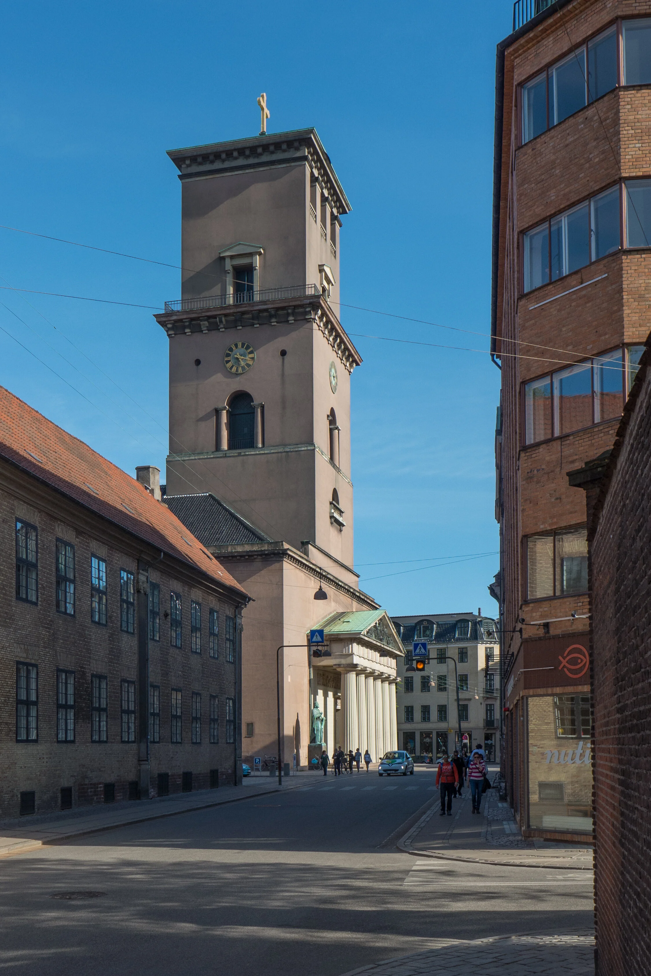
Opposite are the old buildings of the university and then the cathedral - Vor Frue Kirke.

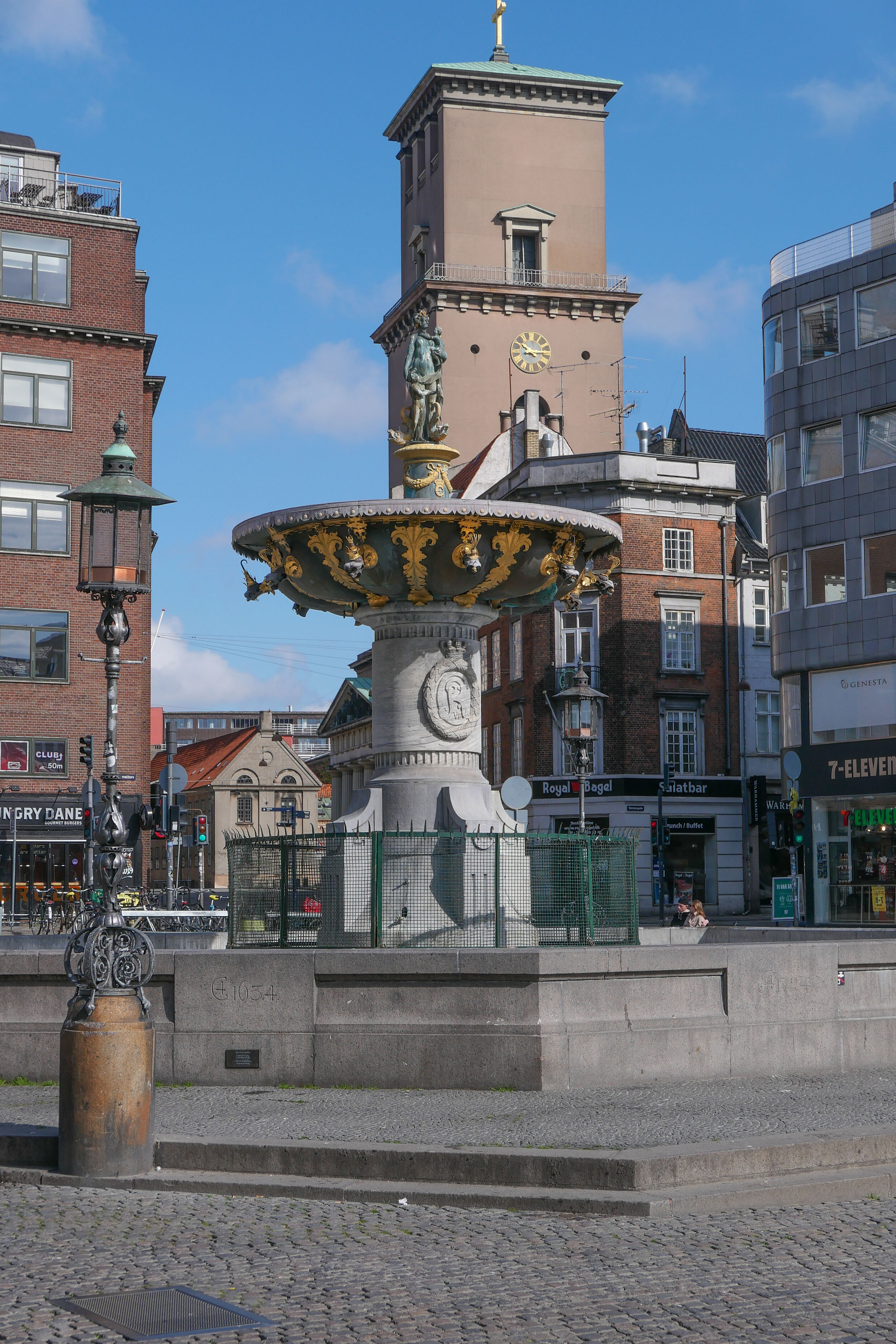
Then, on to Gammeltorv - considered to be the oldest market square in the city - with an ornate fountain and then - crossing the line of Strøget - you drop down past the site of the medieval city hall - destroyed by a catastrophic fire in this part of the city in 1795. The outline of that old city hall is marked in the paving. 

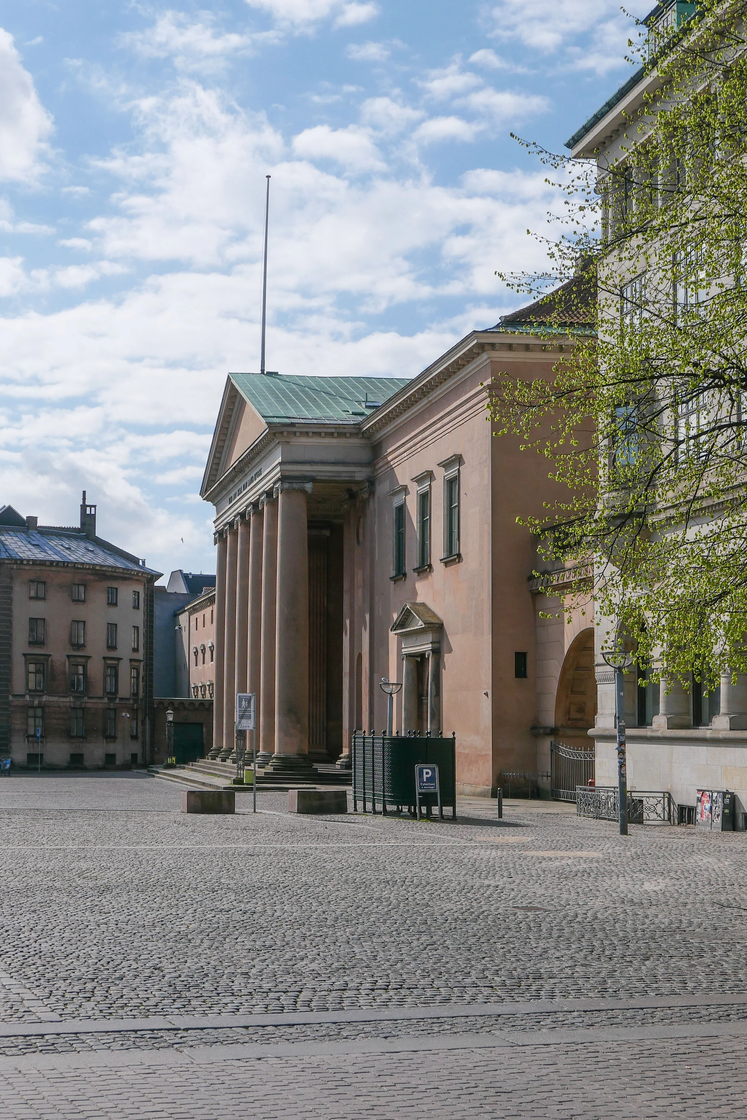
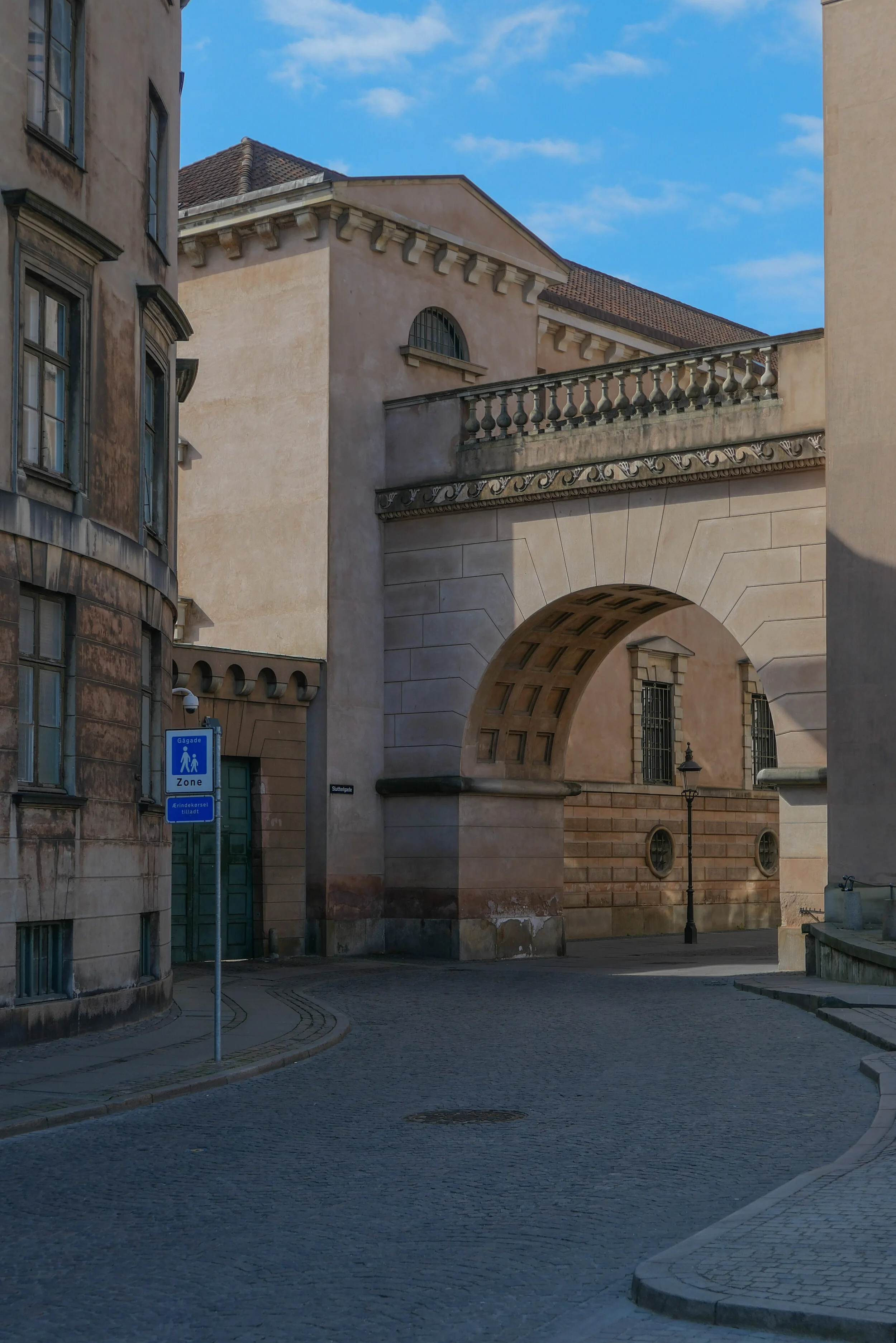
Below is Nytorv - a relatively new square created in 1610 by clearing houses below the city hall - and the new city hall, built after the fire, was designed by C F Hansen and with it the city prison was completed in 1811 …. some of the most dramatic classical architecture in the city. 

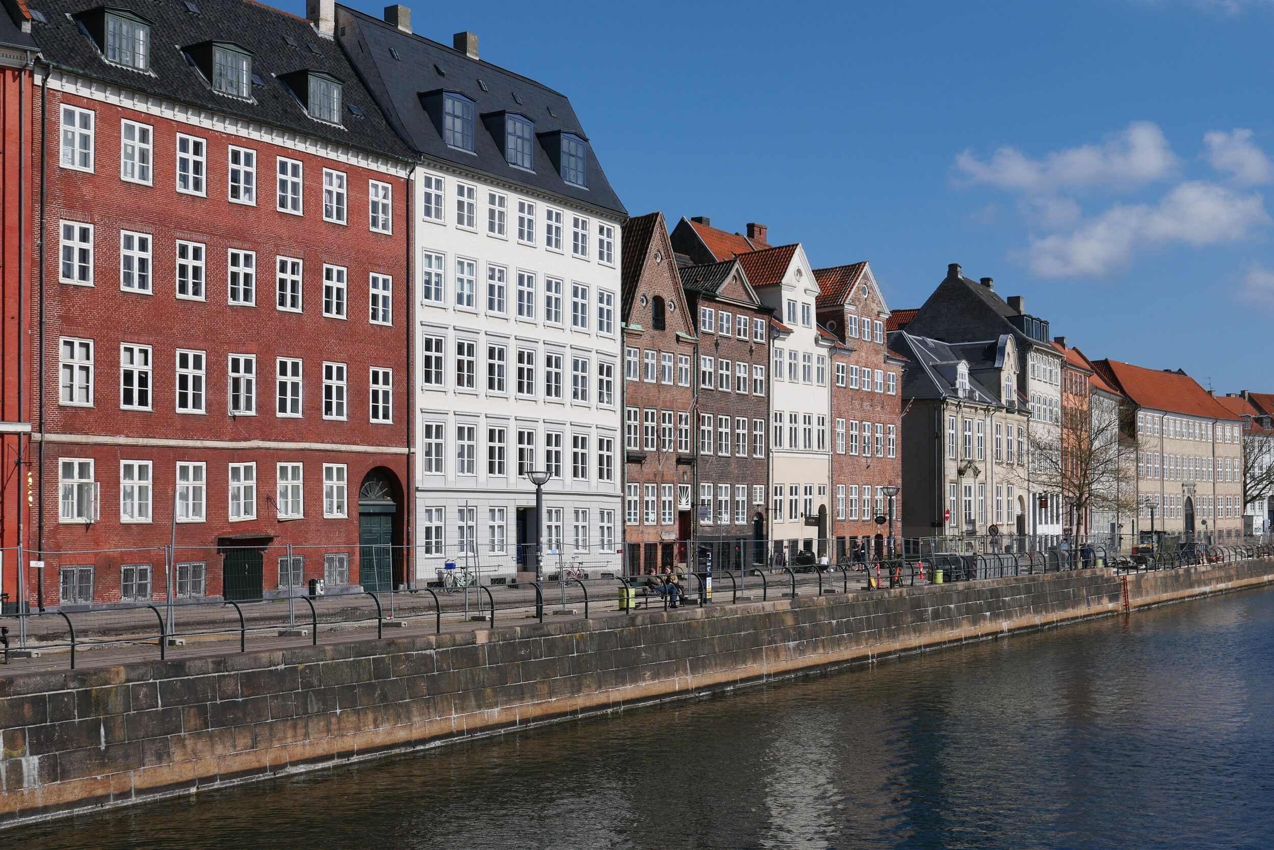
From Nytorv it’s on down to the canal with views along the wharf of Nybrogade and Gammel Strand - approximately the line of the foreshore of the medieval settlement. 

Stormbroen is the bridge that crosses the canal from Slotsholmen. The name - The Storm Bridge - is because this was the area, at the south corner of the city, that was attacked by the Swedish army in 1659 when they nearly took Copenhagen.
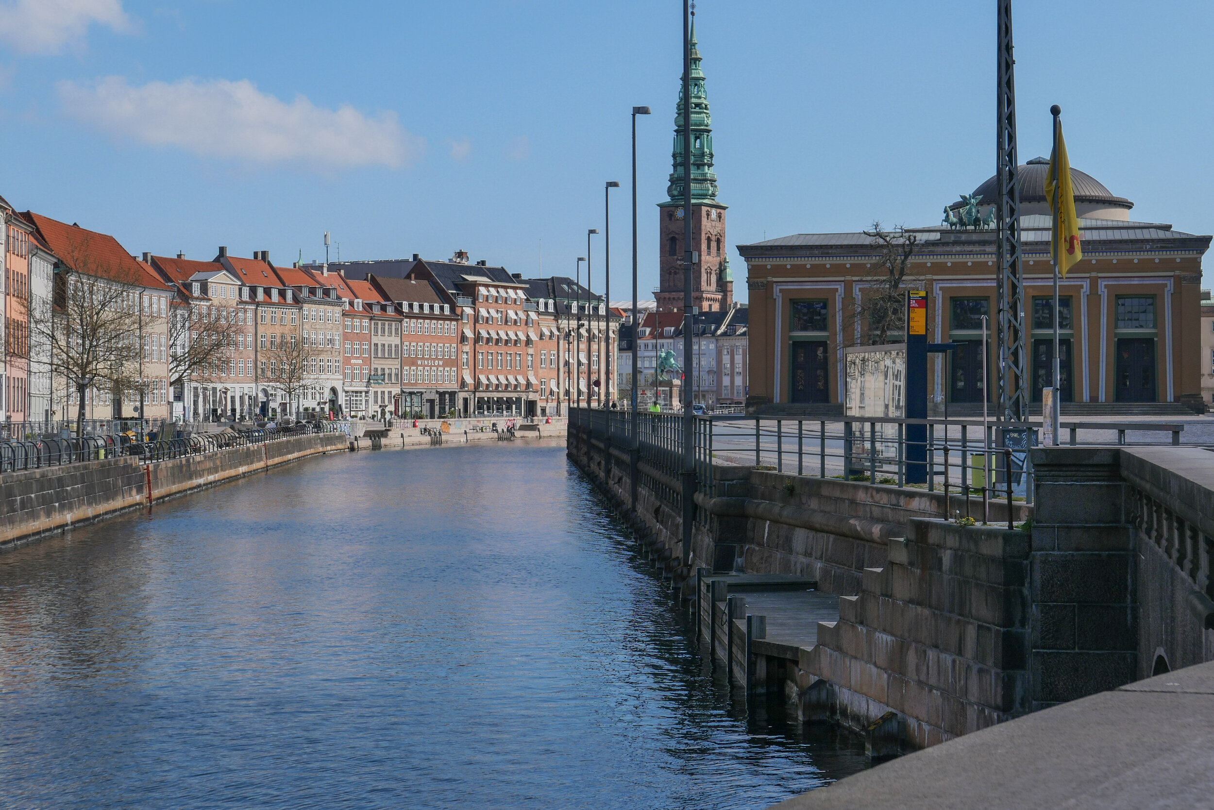
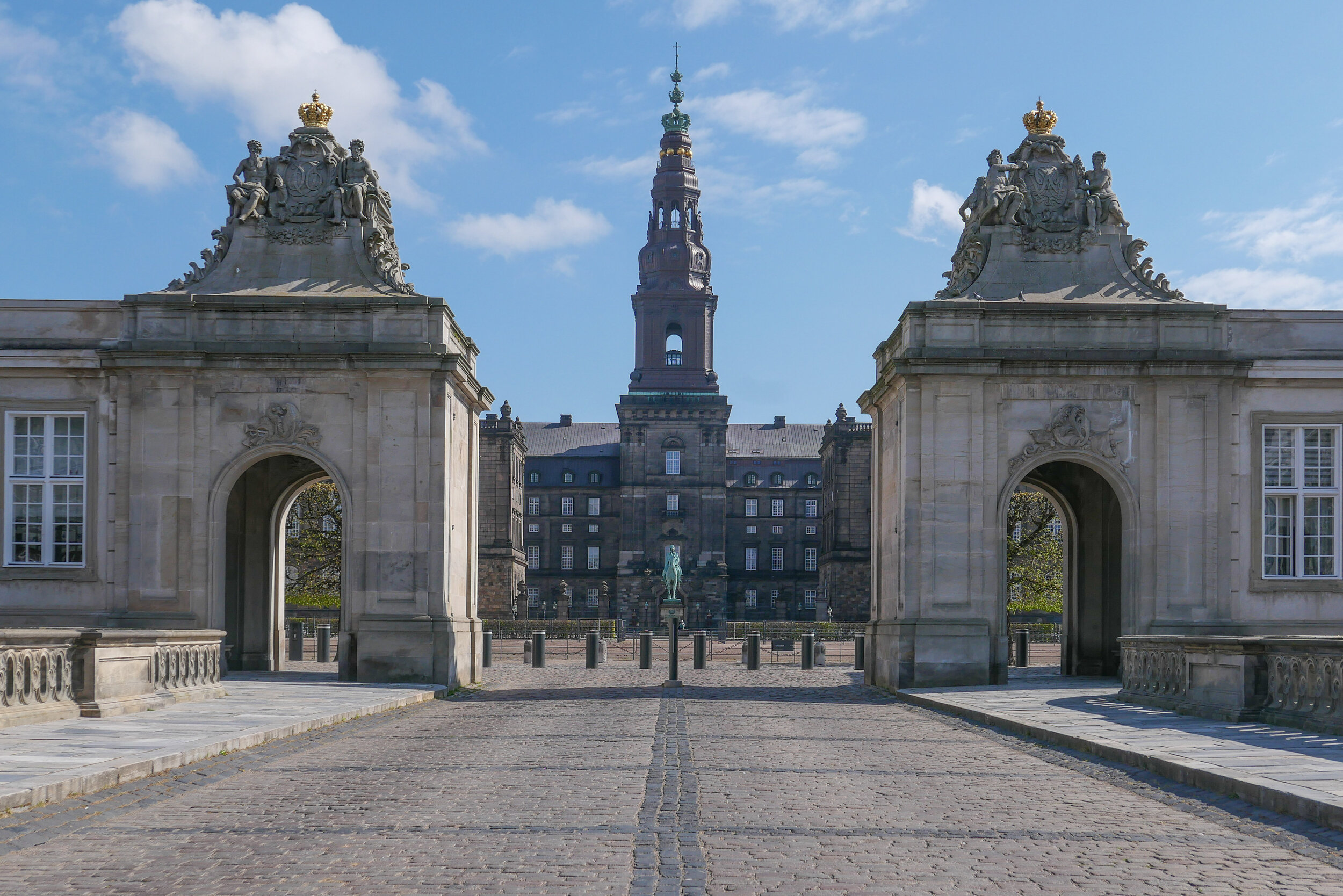
From the bridge, there are the first views of the most important civic architecture on Slotsholmen - with Christiansborg - the site first of the castle of Absalon, the Bishop of Roskilde, which became a royal castle and is now the parliament building. 
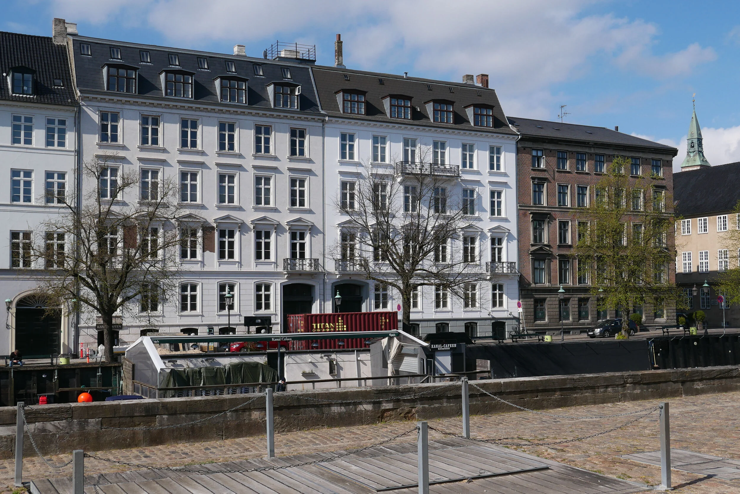
To the right is a large 18th-century palace built for a Crown Prince and now the national museum and then down the canal with fine palaces and apartment buildings to the harbour and to the new Danish Architecture Centre on one side and the old brewhouse in red brick on the other - built for Christian IV in the 17th century so his navy could have a generous and certain supply of beer.

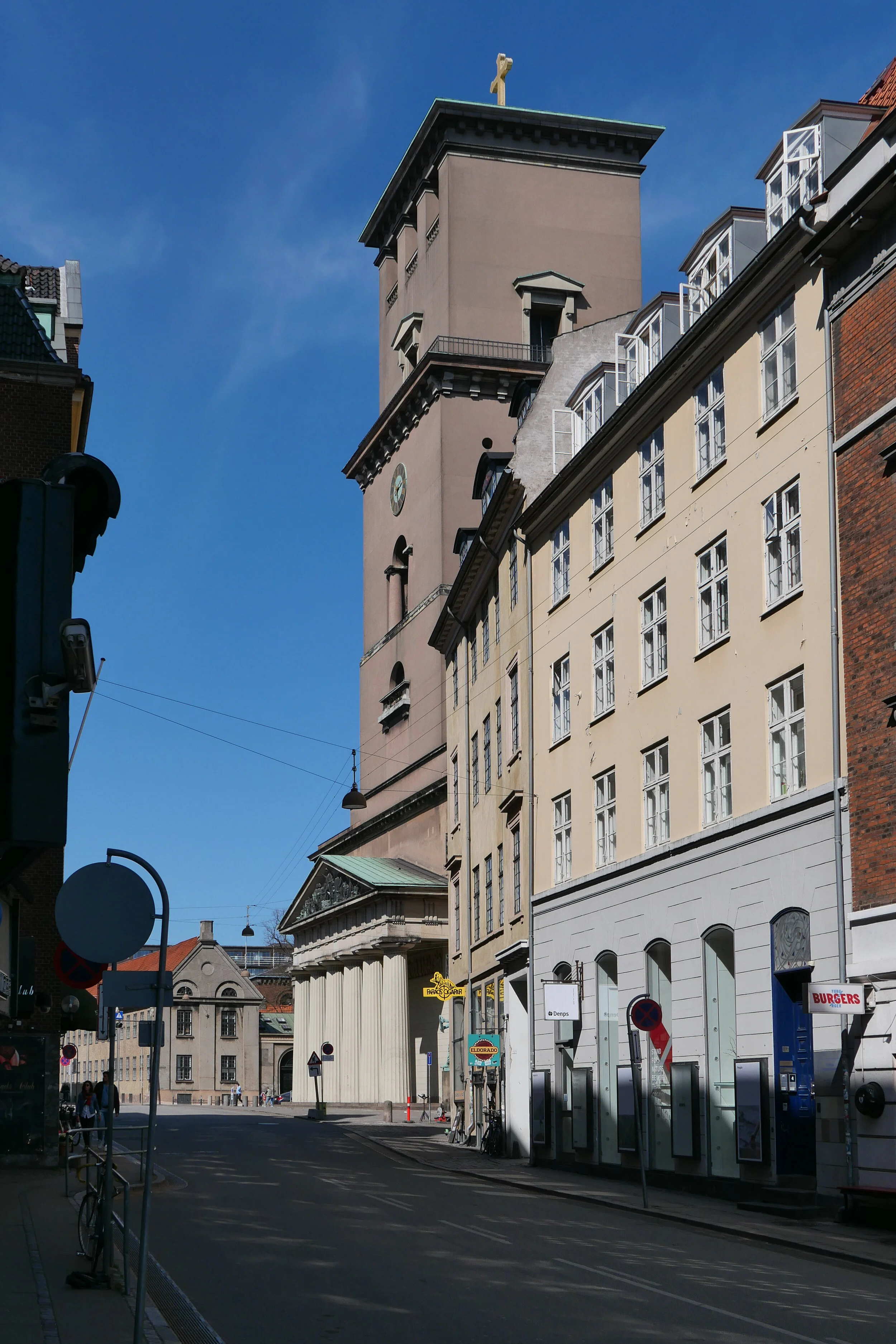
① Vor Frue Kirke, by CF Hansen, 1811-1829 - from the south
② Sankt Petri
③ Sankt Petri
④ Telefonhuset and Sankt Petri - from the north
⑤ gateway to the churchyard of Sankt Petri and Telefonhuset
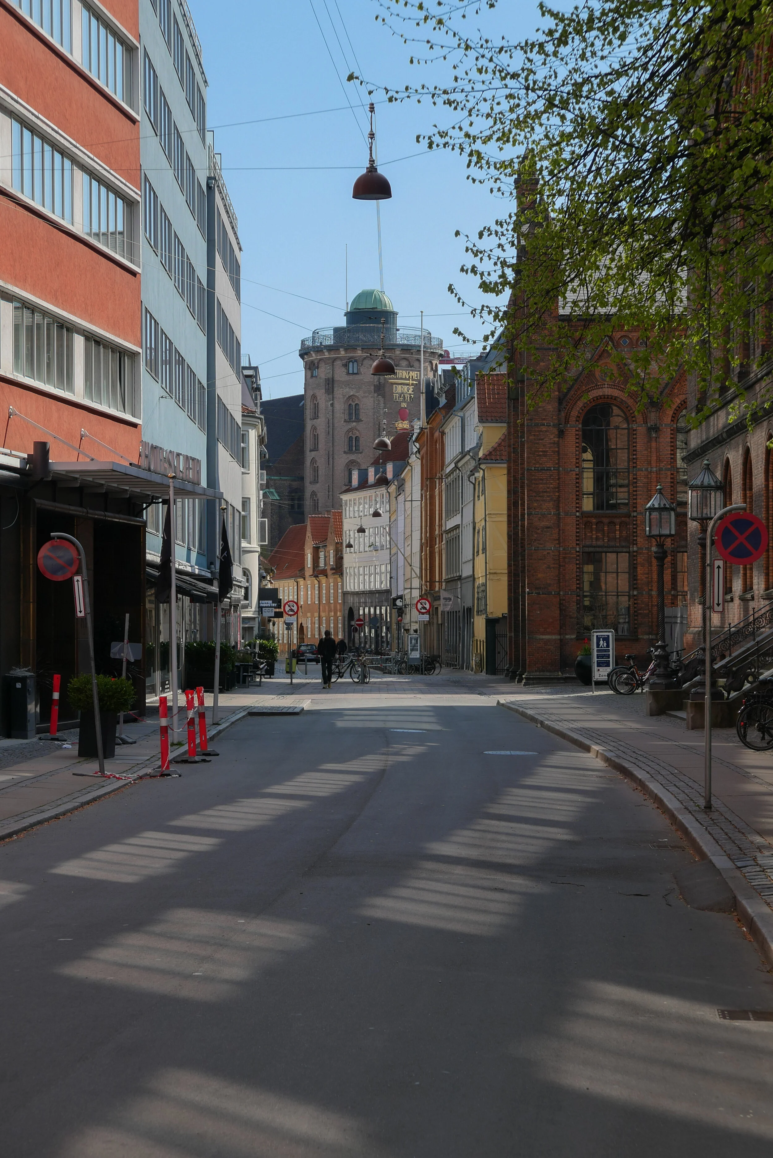
⑥ Krystalgade - from Nørregade with the Round Tower
⑦ Vor Frue Kirke - the cathedral - from the north
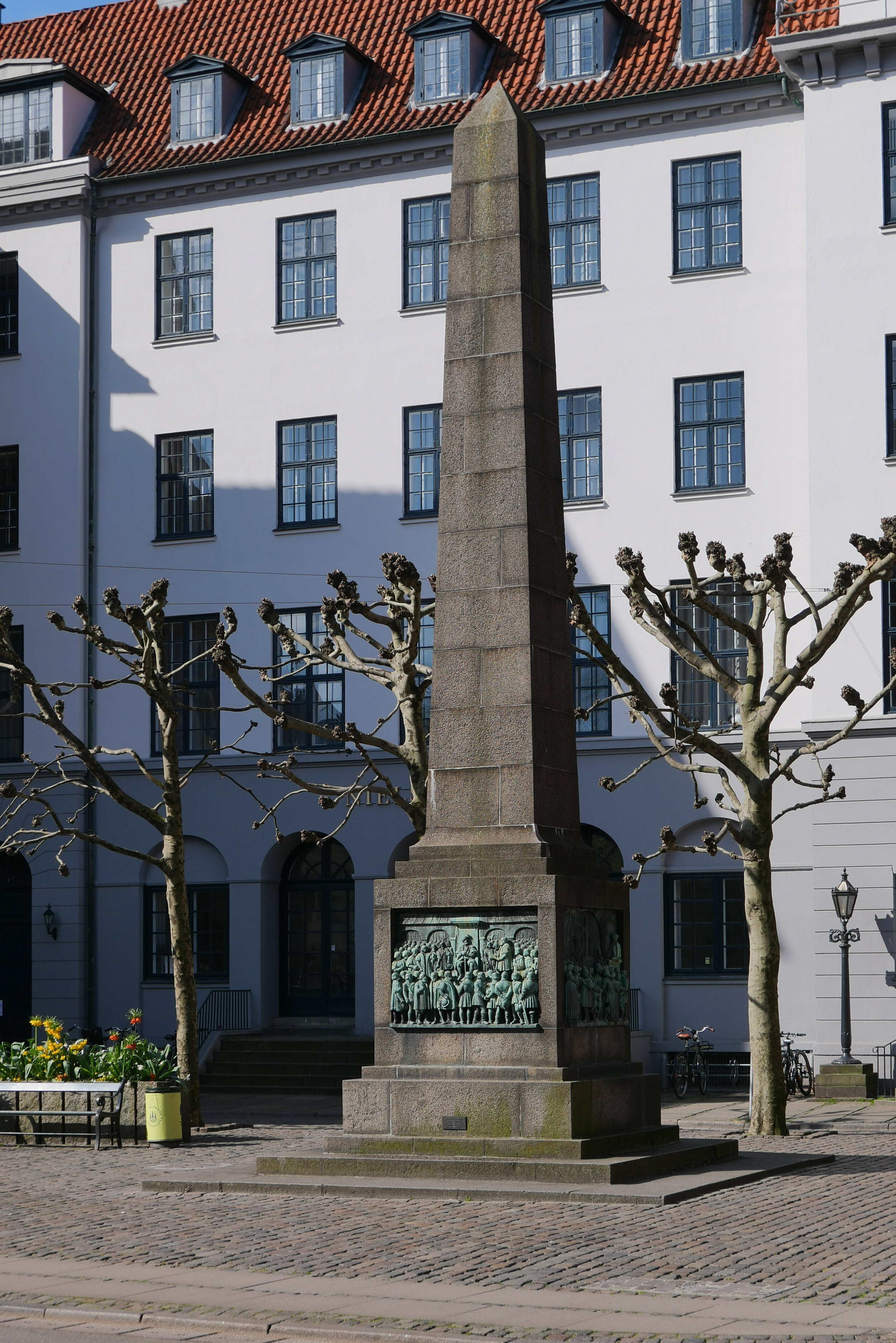
⑧ Bispetorvet and the monument to the Danish Reformation
⑨ from north of cathedral with Gammeltorv and Nytorv beyond
⑩ looking down Gammeltorv from the north end
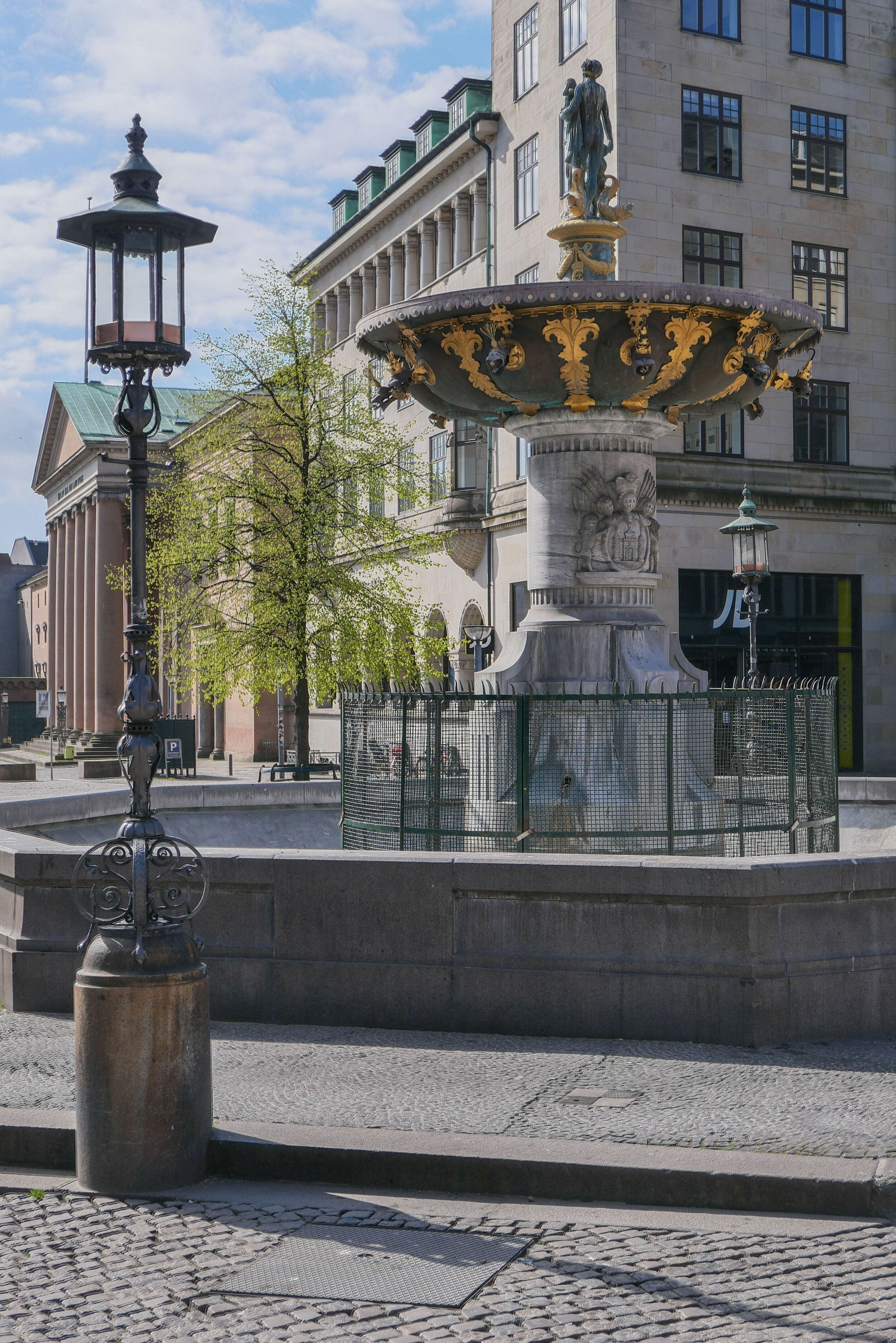
⑪ the Caritas Fountain on Gammeltorv installed in 1608
⑫ from Gammeltorv - looking north to the cathedral
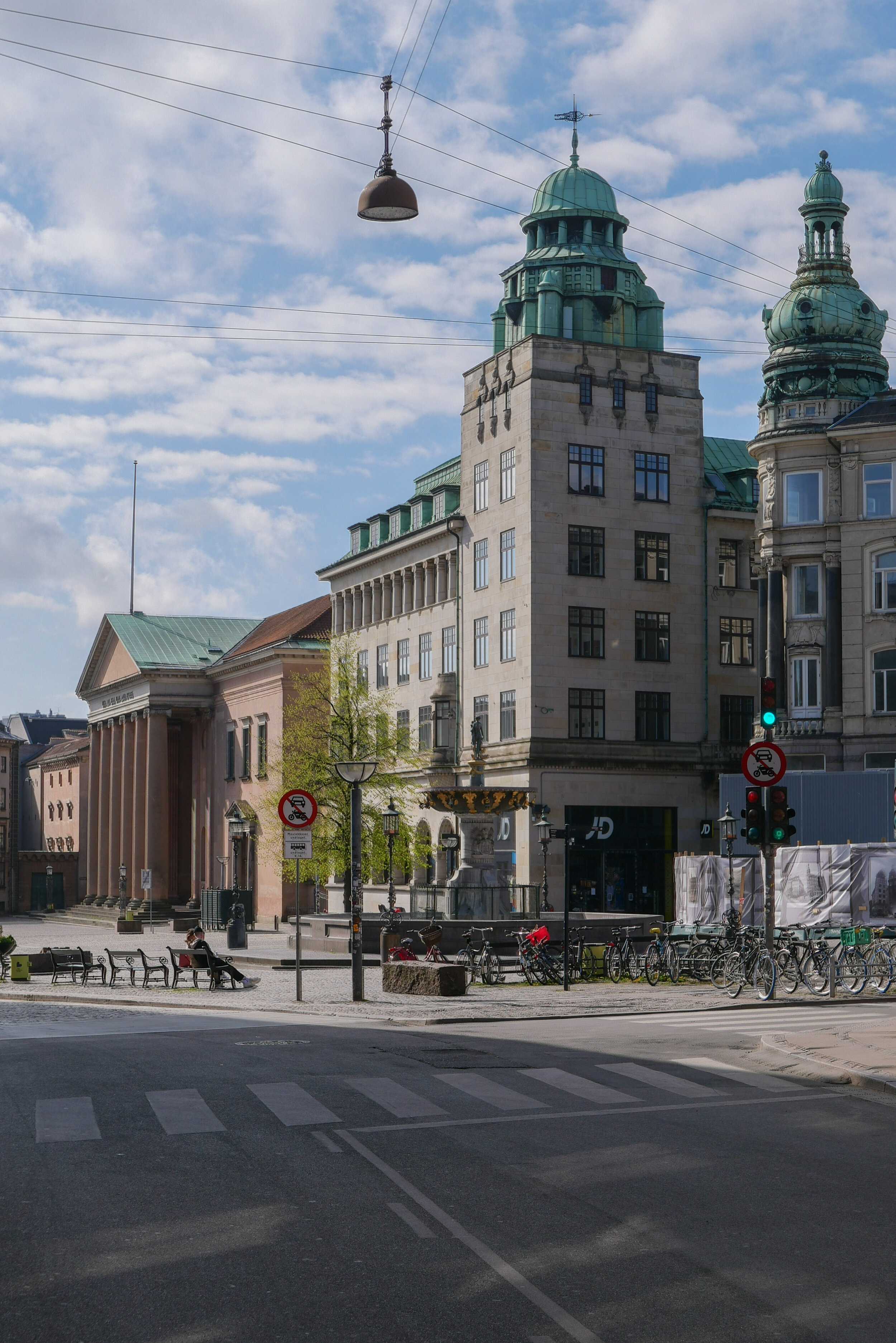
⑬ the city hall on Nytorv, by CF Hansen, 1805-1811
⑭ the archway between the city hall and the prison by CF Hansen
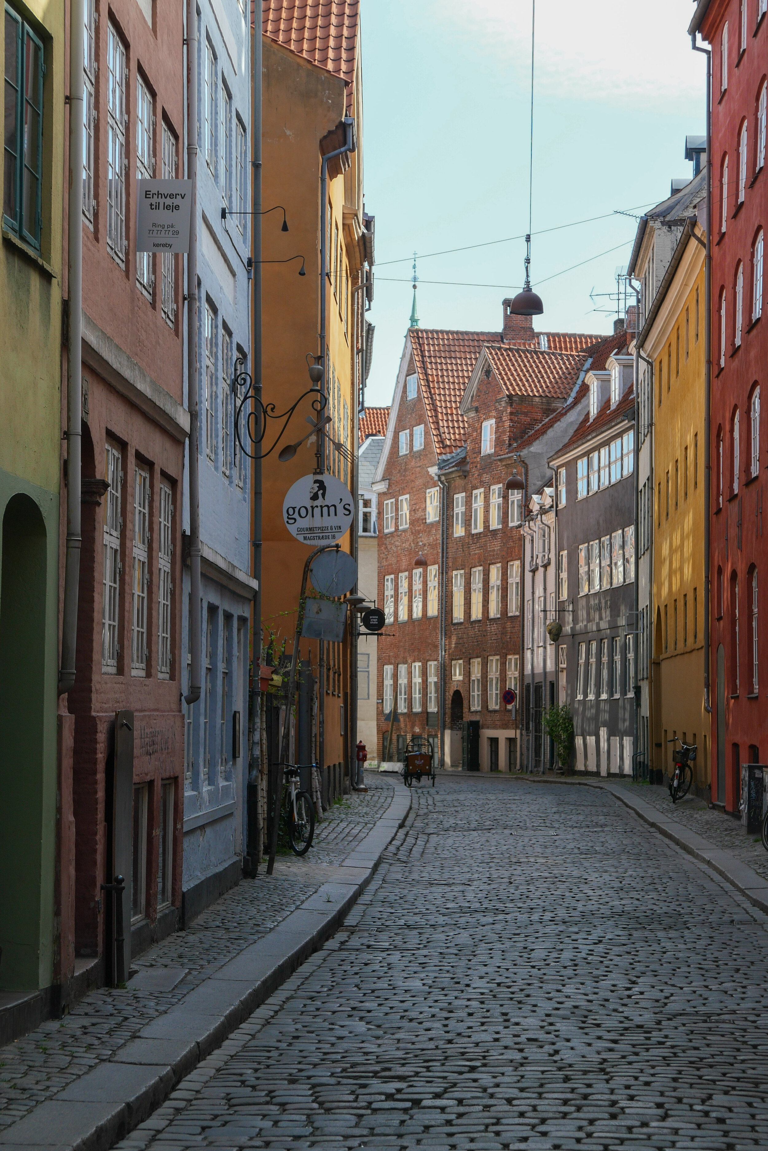
⑮ Magstræde from Rådhusstræde
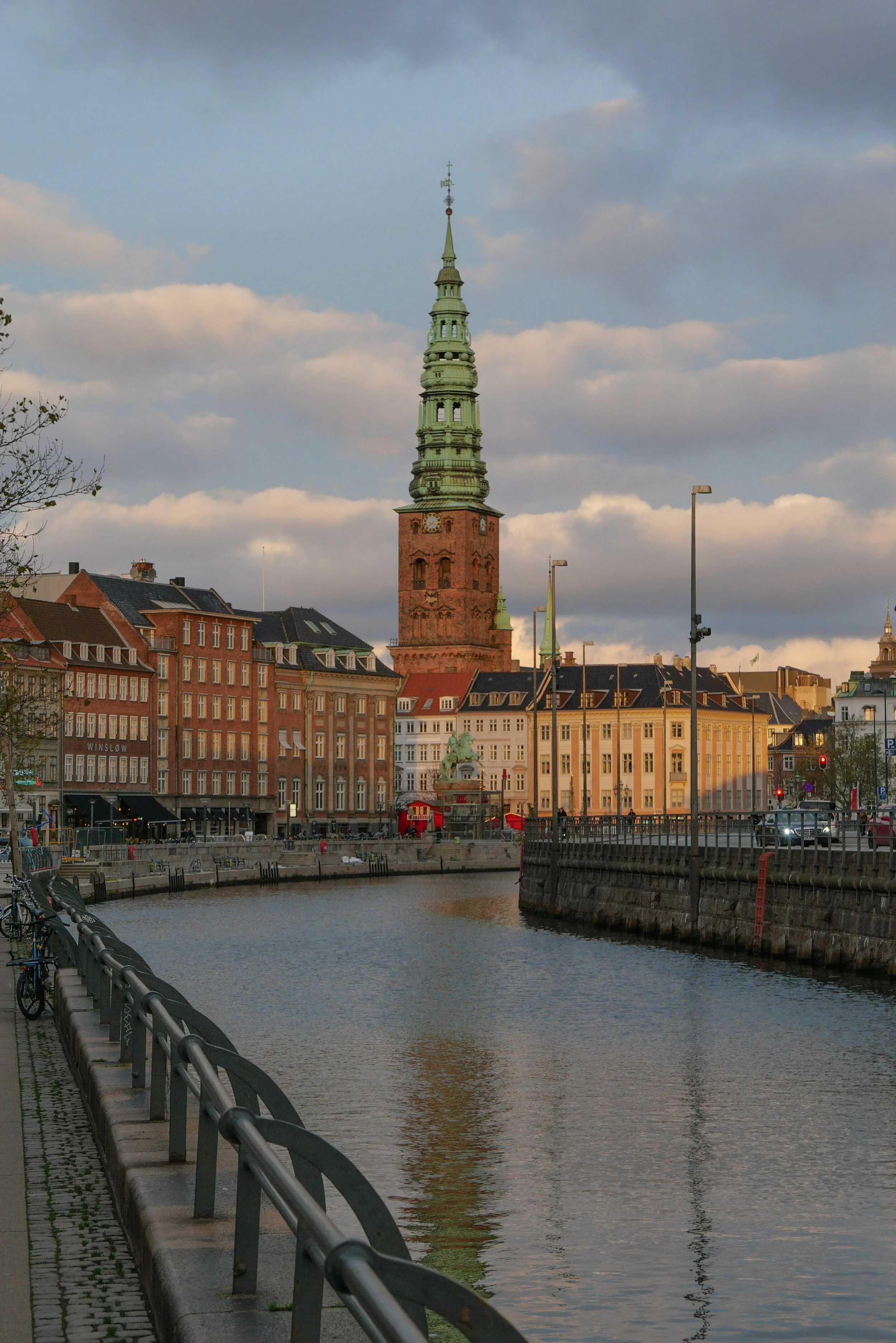
⑯ the canal with the houses of Nybrogade and Gammel Strand

note:
from Nørreport to the harbour is a walk of 1.35 Kilometres

Rådhuset-1479-1728-RES-1.jpg

the north front of the old city hall that was destroyed in the fire of 1795


this is an experiment ….
if anyone wants to follow the walk, then this image can be opened, saved as a jpg file and printed on A4 paper without margins


① the city hall by CF Hansen, on Nytorv (now court house)
② along canal to Gammel Strand and Thorvaldsens Museum
③ the houses of Nybrogade
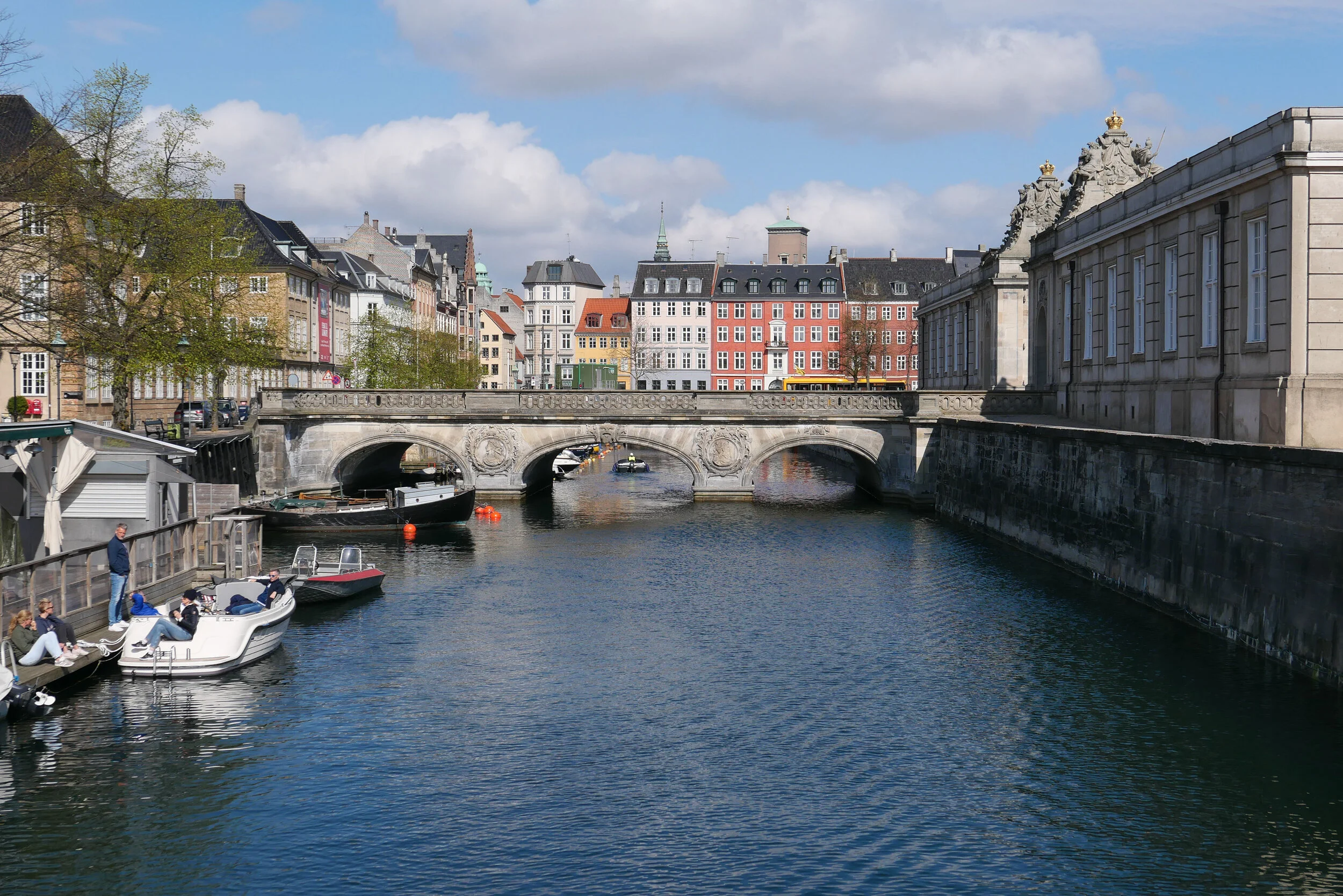
④ Marmorbroen / Marble Bridge, by Nicolai Eigtved, 1733-1745

⑤ Christiansborg from Marmorbroen / the Marble Bridge
⑥ apartment building by H C Stilling 1850
⑦ Frederiksholms Kanal, looking south towards BLOX
⑧ Bryghus / Brewhouse built for Christian IV in 1608