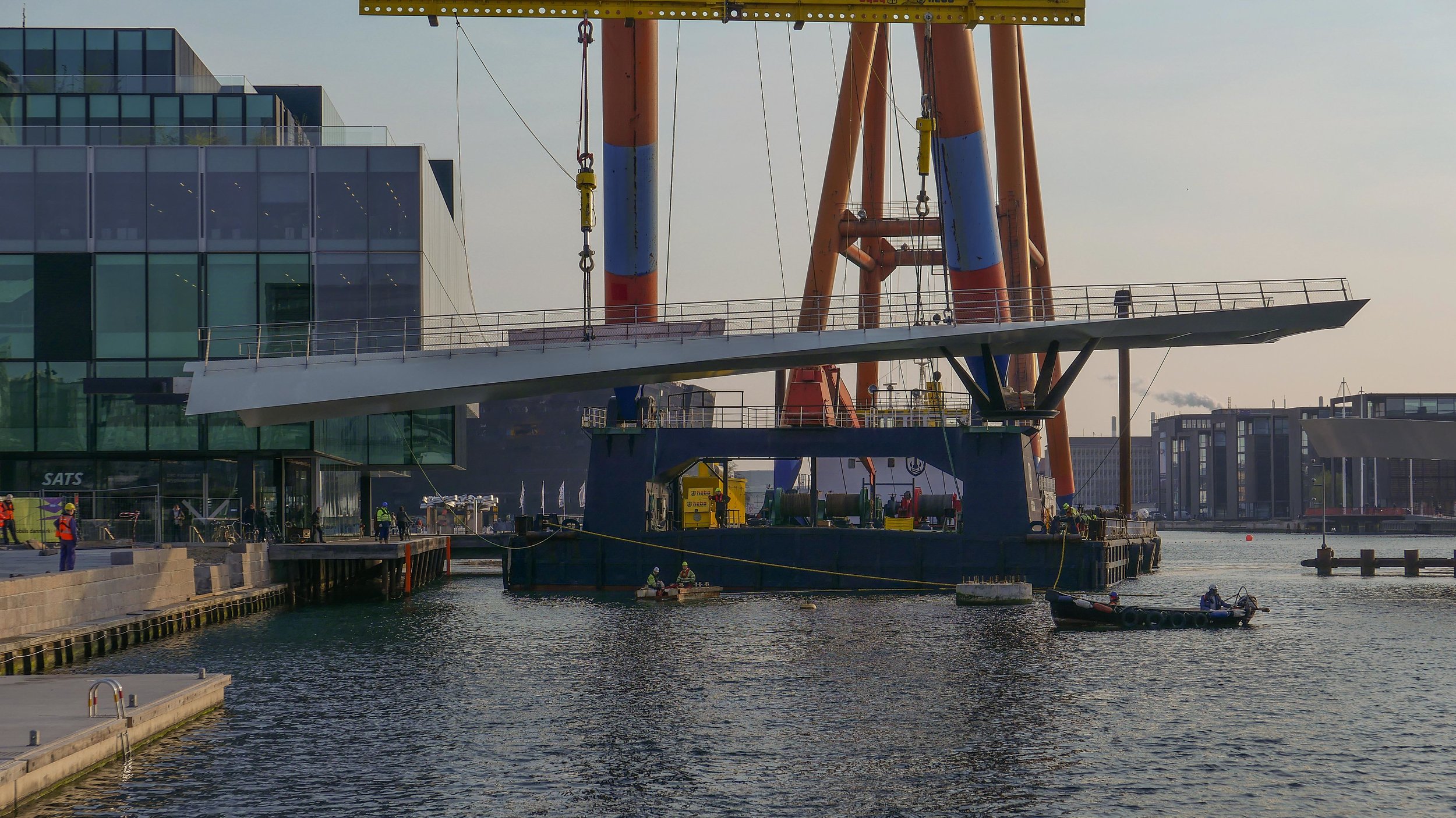
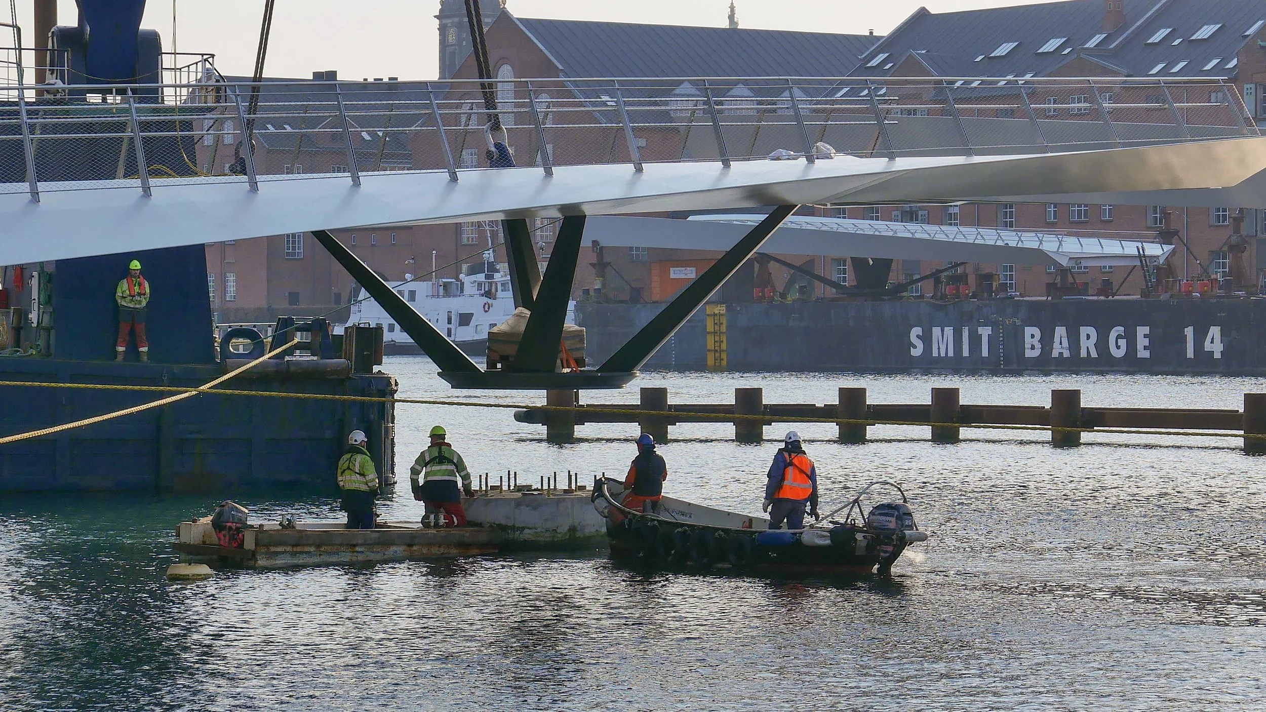
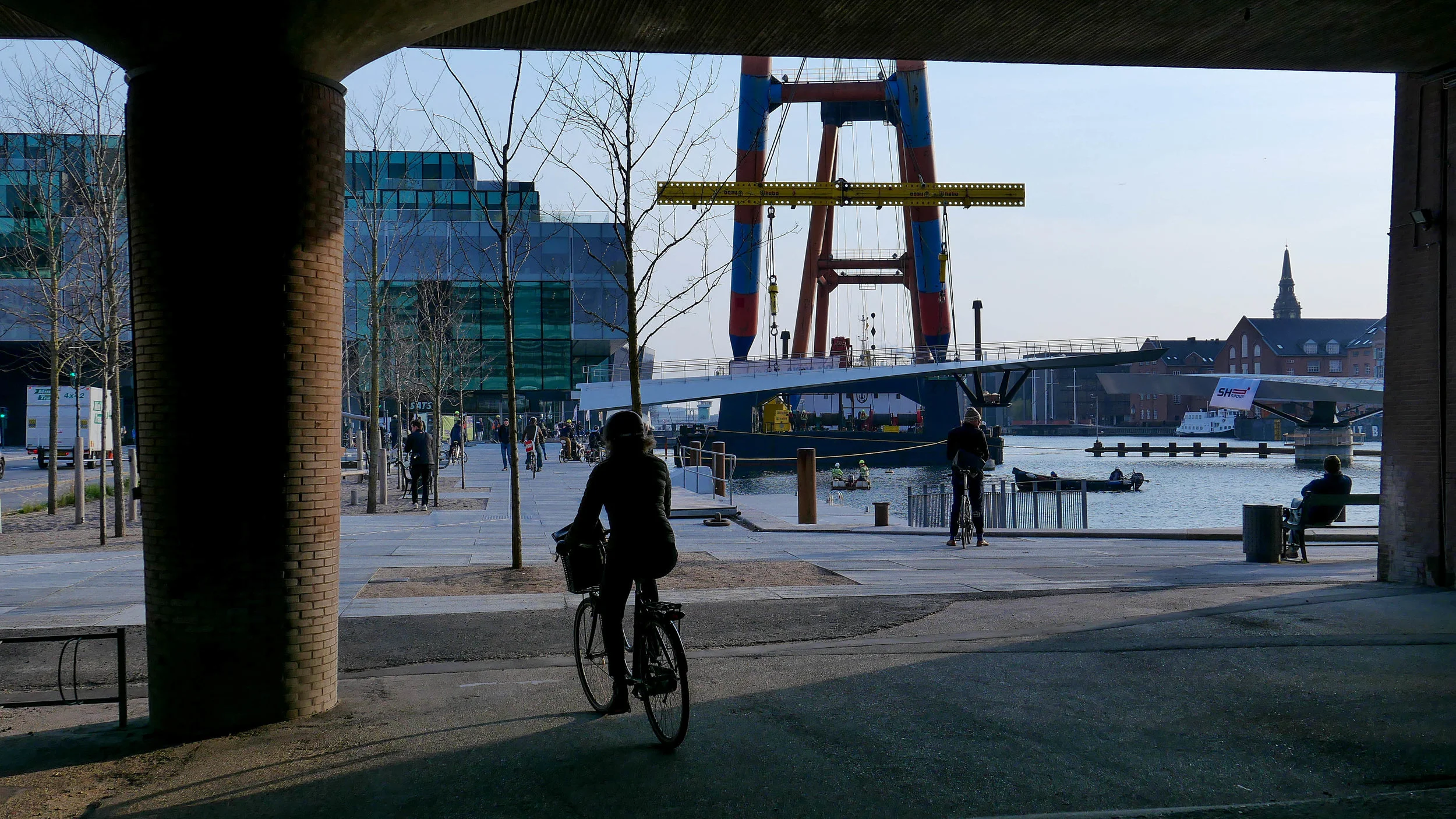
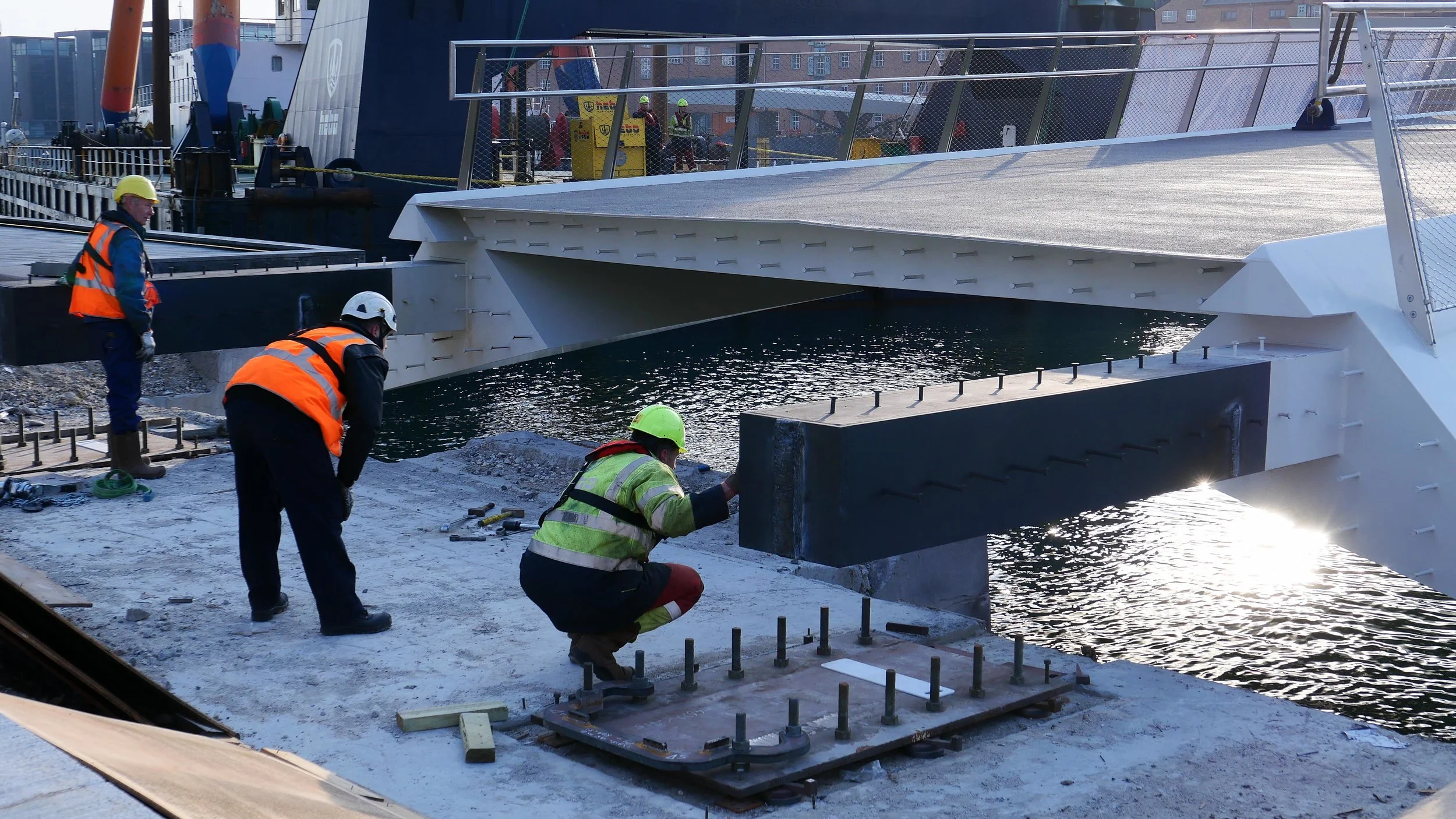
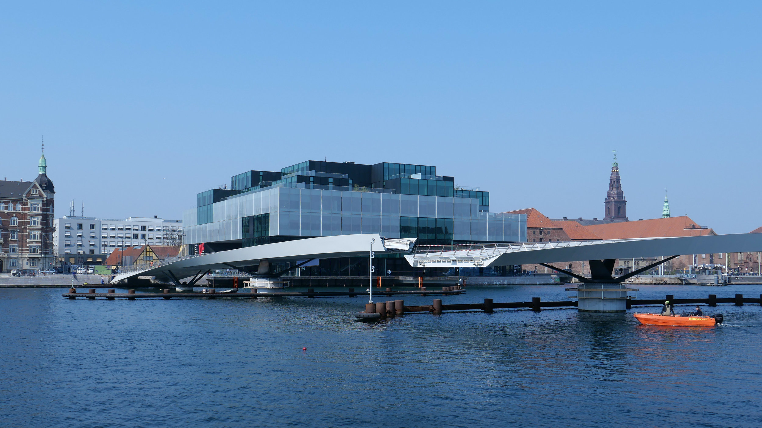
Inderhavnsbroen / the inner harbour bridge
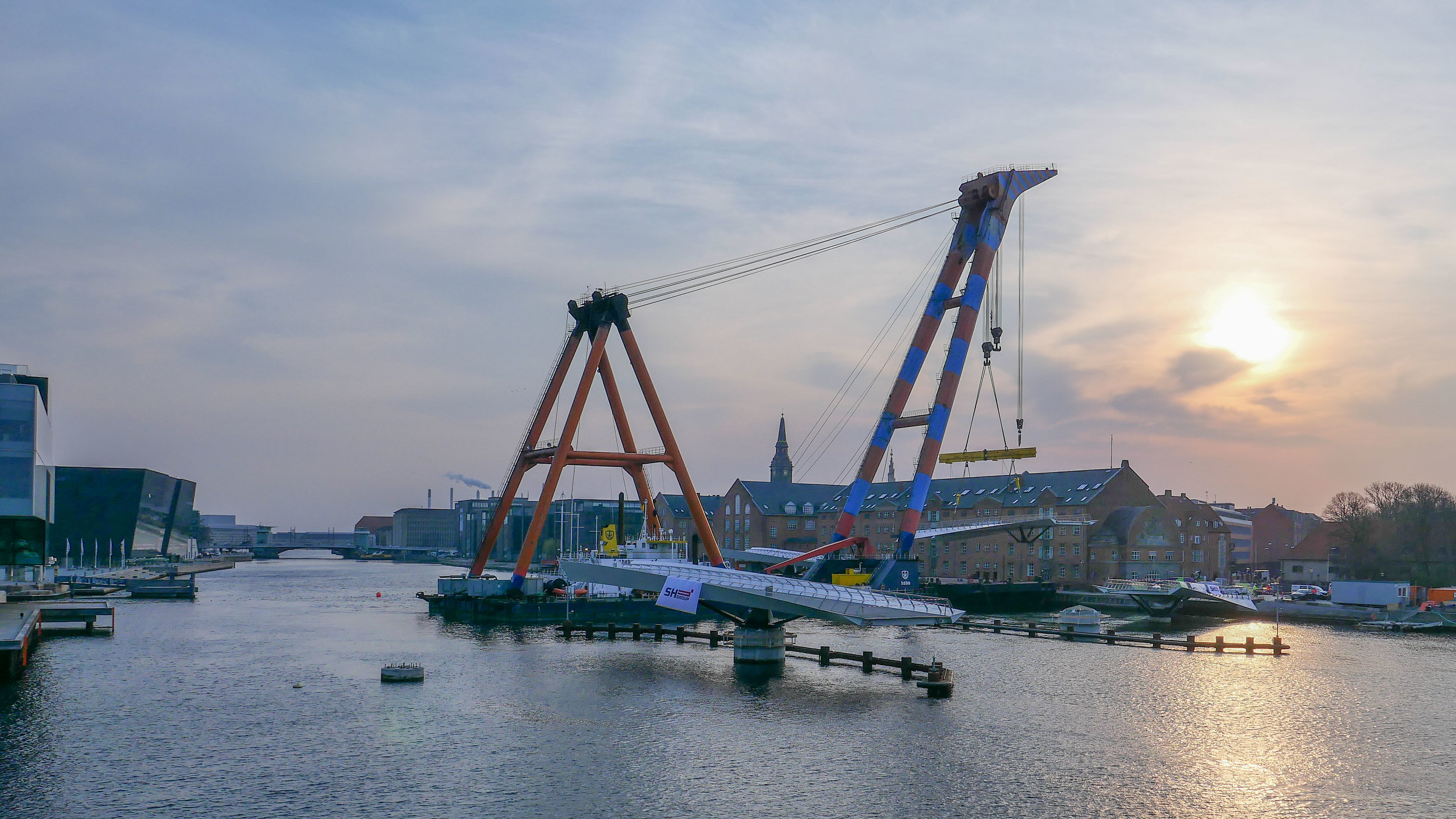
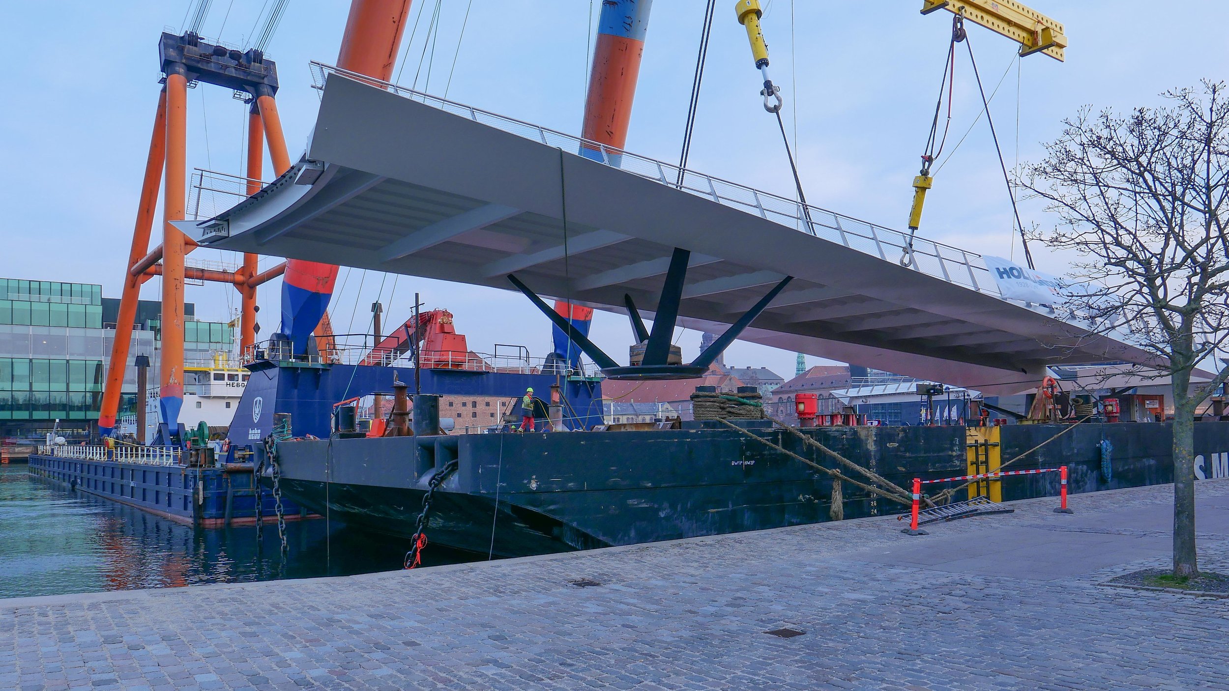
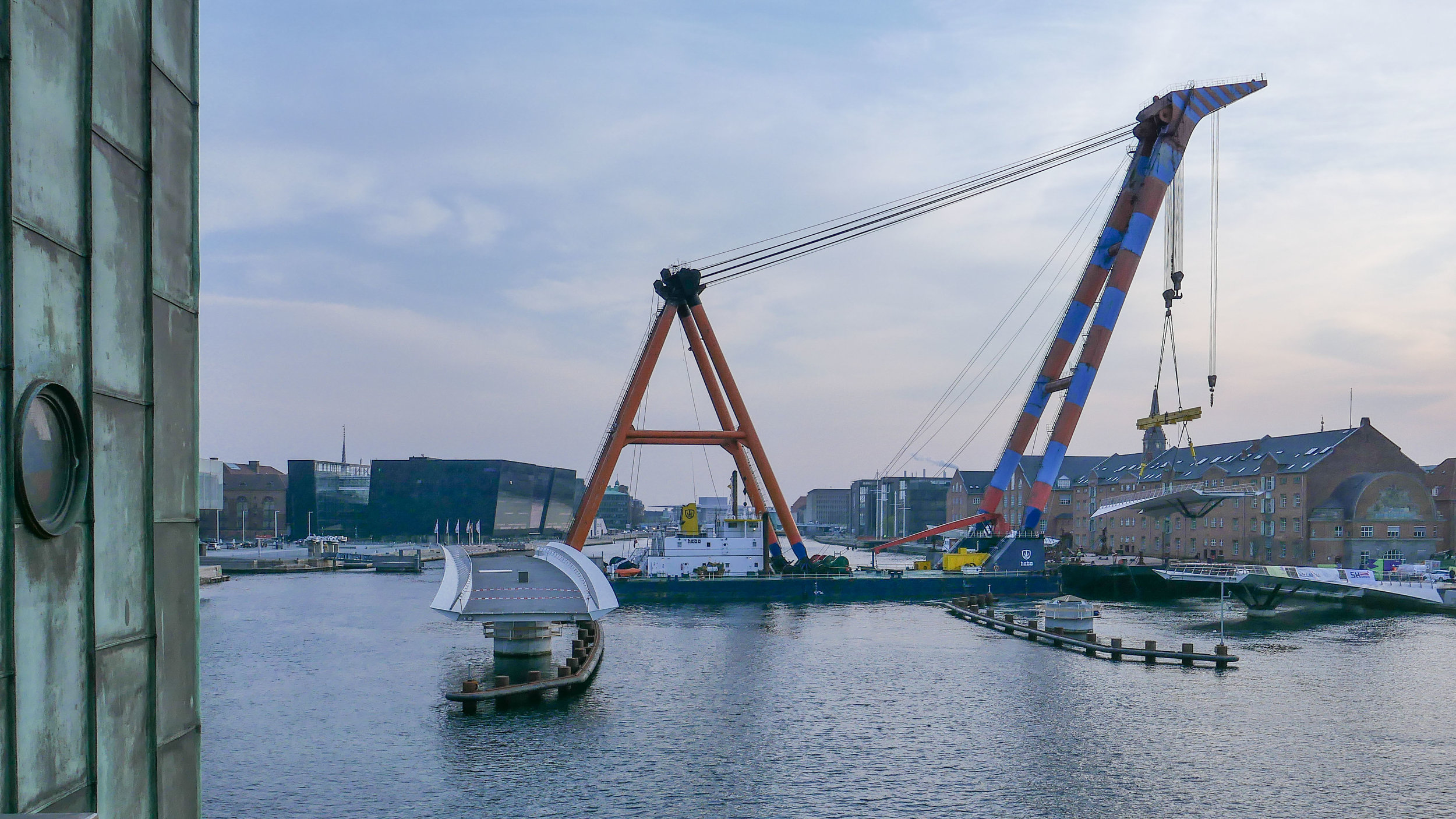
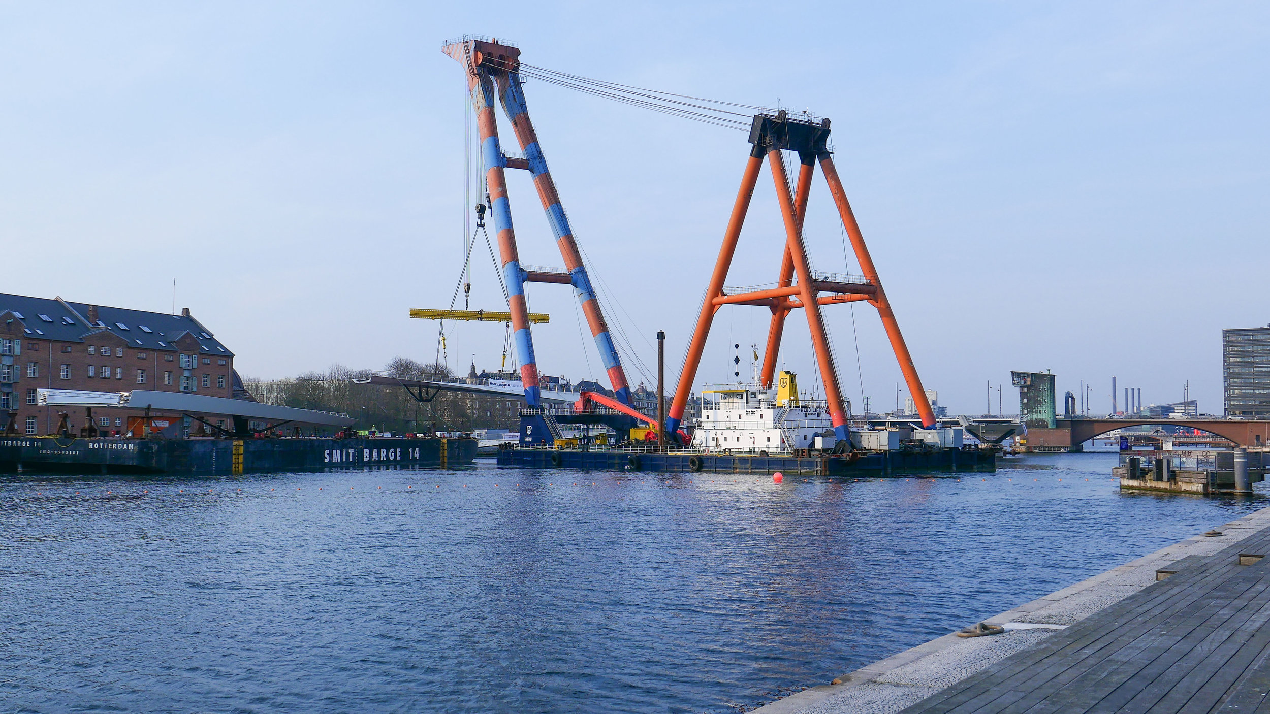
/Inderhavnsbroen - the inner harbour bridge for pedestrians and bikes that crosses from Nyhavn to Christianshavn - opened in the summer of 2016.
It provides an important and fast link between the old city, on the west side of the harbour, and Christianshavn, Christiania, Holmen and the opera house on the east side of the harbour.
Until the completion of the bridge, the simple way to cross the harbour was to use the ferry between the Skuespilhuset - the National Theatre - and the opera house - a distance of about 600 metres door to door by foot and boat.
To walk or to ride a bike from the theatre to the opera house without using the ferry meant going down to Knippelsbro and then back up to Holmen - a distance of just over 3 kilometres.
With the Inner Harbour Bridge and the new three-way Transgravsbroen, it is still 1,500 metres from the door of the theatre to the door of the opera house.
By car it was even further. When I first moved to Copenhagen, cars could not drive over the bridge from Christianshavn to Holmen so, by car. the route meant driving over to Amager and then across the north side of Kløvermarken and up to the causeway at Minebådsgraven and from there to Holmen and the Opera House ..... a distance of well over 6 kilometres.
Inderhavnsbroen was designed by the English engineers Flint & Neill who are now a subsidiary of the Danish engineering group COWI.
It has been nicknamed ‘the Kissing Bridge’ because of the unusual way that it opens and closes to let large ships move up and down the harbour.
There are paired sections of bridge from either quay - rather like giant tuning forks with a viewing platform at each outer end where pedestrians can stand to watch shipping come through. The centre span is in two halves - cut across at the centre - so, when the bridge opens, the two halves slide apart on rollers, sliding back in between the prongs of the forks. When the bridge closes, the two halves slowly roll back to meet in the centre so kiss.
Compared with other bridges across the harbour, the Inner Harbour Bridge seems over engineered and over heavy … too complicated and cumbersome.
There are broad steps up onto the bridge for pedestrians and, at the centre, people walking are kept to the south side.
There are fairly narrow and fairly steep slopes up onto the bridge for cyclists and at the centre cyclists are kept to the north side with a relatively narrow lane in each direction. The problem is that the transition from the fixed section on either side to the central section is sharp and forms what is, in effect, a chicane and when the bridge is fully closed coming off the centre, cyclists have to do a quick turn first one way and then the other with a coloured glass barrier straight ahead. Cyclists have to get up speed to get up the slope of the bridge, to get to the centre, and then gain momentum coming down the other side and they tend to cut the angles so some have ended up hitting the glass at speed ... enough to crack the glass so that is quite a nasty accident.
It is not much easier for pedestrians. Many people walking over the bridge are tourists and they fail to appreciate just how quickly cyclists are moving. Walking from the city side, most pedestrians keep to the quay side of Nyhavn, rather than to the pavement immediately in front of the buildings, but that pavement is too narrow so people are forced to step out into the cycle lane and, at the bridge, they have to cross over the stream of fast-moving bikes to cut across to either a narrow slope up for people with push chairs or wheel chairs or further across to the steps up on the south side.
Even when they are safely on the south side of the bridge, there are problems because tourists want to stand on the north side to look up to the opera house and beyond and, again, fail to appreciate how quickly the cyclists are moving or see how little room there is for a cyclist to manoeuvre round pedestrians trying to get to the viewing platforms on the north side or, worse, pedestrians trying to stand at the centre against the railing on the north side to take photographs.
There are also problems with the way that cyclists and pedestrians approach the bridge .... so serious that major work is planned for this summer to change road markings and to reverse the direction of the one-way system for cars on the city side.
Now, cars drive north along Havnegade - along the quay - and then turn left into Nyhavn, which is one way, to get to either the Nyhavn bridge, where cars and bikes can turn left or right, or to drive on to the square at Kongens Nytorv.
Along that section, along the south quay of Nyhavn, there is a pavement against the buildings, then a cycle path heading east towards the bridge and then a line of parking bays before a single lane for vehicles heading in the direction of Kongens Nytorv with a cycle lane for cyclists heading in the same direction as the cars and finally the narrow pavement along the quay. That's basically 6 different sections - two footpaths, two cycle lanes, a car lane and a lane for parked cars and all within an overall width of about 14 metres. Add to that the fact that there have to be bins and seats and a payment point for boats moored at the quay and you can see that the layout is very tight.
In the new layout of lanes, the direction for cars will be reversed so they will go from the Nyhavn bridge towards the quay of the main harbour and bikes heading towards the bridge will occupy the same space rather than have a separate lane and the parking spaces will be moved inwards against the south pavement in front of the buildings.
Cycle lanes down from the bridge to Nyhavn will be more tightly marked with a turning lane for cyclists wanting to come down the bridge and turn down the main harbour and there will be an attempt to make all pedestrians cross from the edge of the Nyhavn quay towards the south pavement before crossing to the bridge and with an intermediate island between the cycle lane going west and the road and the bikes going east.
On the east or Christianshavn side of the bridge there are no vehicles in the mix but more distinct markings for the bike lanes will move the cyclists out to the north with a narrow island wth planting between the bikes going east and those going west and with marked lanes for bikes turning into and out of Strandgade.
Now there is an area for street food between the canal and the large brick warehouse - Nordatlantens Brygge - so the immediate problem will be to stop people with food and drinks trying to get to the edge of the water and the area that tends to keep in the sun. The use of this large triangular space in the future is uncertain, after new food halls open in the new development on Papirøen.
All this might seem to be incredibly complicated but, right now, the way that the bike lanes and foot paths up to and across the bridge are laid out do not work well and are potentially dangerous. It is an interesting design problem in trying to do something that in the end feels intuitive for cyclists and pedestrians and works smoothly without traffic lights.
The reality is that in Copenhagen bikes move fast and with a distinct purpose and pedestrians, particularly tourists, drift out onto the road and underestimate the speed of the bikes because they are looking around and looking at other things. Add to that the cars and vans trying to make deliveries and that is a lot to fit into a tight and crowded space.


