Lille Langebro
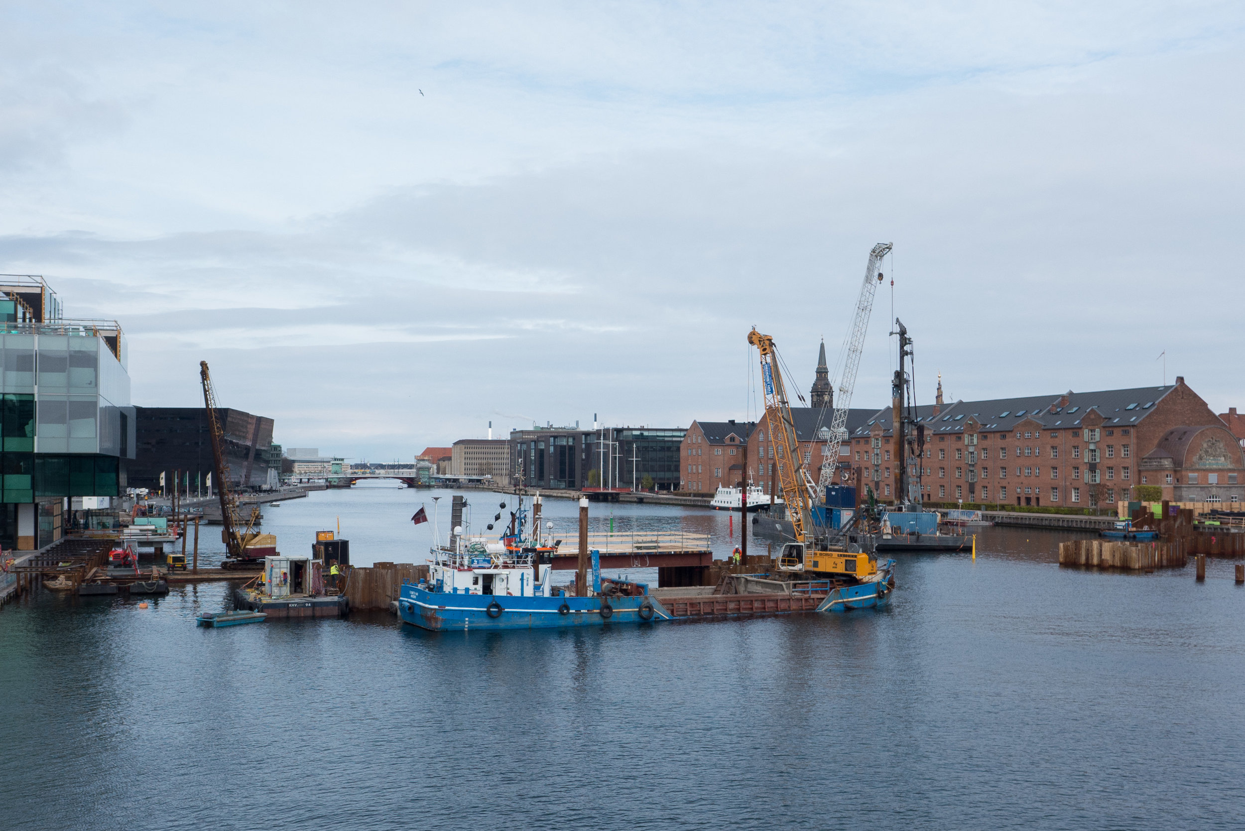
/Over the Summer, work has progressed on the new cycle and pedestrian bridge over the harbour. Substantial piles have been driven in on the Christianshavn side for the south approach to the bridge and shuttering is in place and the intermediate piers across the river are being constructed.
The bridge for bicycles and for pedestrians will link Langebrogade on the Christianshavn side to Christians Brygge on the city side and in plan will follow a gentle curve starting on the line of Langebrogade which is set at an angle as it approaches the harbour from the south but will align with Vester Voldgade on the city side. The harbour at this point is just under 150 metres wide and the bridge will rise to provide a clearance of 5.4 metres towards the middle so smaller boats can pass under but two sections will pivot apart to provide a clear passage 35 metres wide when open for higher vessels to move up and down the harbour.
The design is by the London architectural practice of WilkinsonEyre with the engineers Buro Happold and Urban Agency who have offices in Copenhagen and whose projects in the city include their work on the Kalvebod Wave close to the site of the new bridge but on the other side of Langebro.
In profile, as well as in it’s plan, drawing indicate that the new bridge will be rather more elegant than the new central harbour bridge … so closer in style to Bryggebroen - the bridge by Dissing + Weitling that was completed in 2006 to cross the harbour from Amager to the shopping centre of Fisketorvet on the city side.
WilkinsonEyre, on their internet site, state that they "love to make dynamic use of space, light and materials, focusing on proportions to create something memorable that lifts the spirits and has a logic and sense of place."
The bridge deck will have edge beams with a triangular section and rather as with Belverderebroen these will change or ‘flex’ from horizontal at the quay to more upright at the centre - to provide a stronger sense of a parapet at the highest point - before dropping back as the bridge reaches the opposite shore. A section of the bridge was shown on site last summer but the Urban Agency site has a good sequence of drawings that shows how the cross section of the bridge alters towards the centre.
illustrations from WilkinsonEyre and Urban Agency
map from the 19th century showing clearly the bastions and the water between the city and the gardens at Tivoli. H C Andersens Boulevard was built here in the late 19th century
the alignment of the new bridge on an aerial view from Google
view c.1860 before the wharves on the city side were constructed. The new bridge will be approximately on the line of the timber bridge shown here and Langebro bridge - completed in 1954 - is closer to the line of groins further out at what was then the entrance to the harbour
Langebro crossing the harbour from the city side to Amager Boulevard. The bridge designed by Kaj Gottlob was completed in 1954. The separate swing bridge for the railway has been demolished. Langebrogade, on the Christianshavn side of the city defences, is the road running away from the viewpoint top left in the photograph.
In terms of planning - both modern planning and the historic street plan - the new bridge is fascinating. The main bridge across the harbour until the 1950s - certainly in terms of traffic was Knippelsbro. There had been a bridge linking the historic centre of the city with Christianshavn in that location - give or take 20 metres - from the early 17th century.
Below, to the south of Knippelsbro, the harbour was actually much much wider than it is now, like a broad estuary although there had been long narrow timber bridges across linking the defences around the west side of the city with the fortifications around Christianshavn, so connecting Kalvebod Bastion on the city side to Rysensteen Bastion on the Amager side.
Through the late 19th and early 20th century, the banks on either side at this south end of the harbour were altered, with quays and wharves constructed on both sides, that narrowed the channel, and there were a series of more important bridges, including rail bridges, at this point.
As the defensive embankment around the city was removed - from the 1870s onwards - the water outside the embankment was filled in - apart from short sections that survive in the Tivoli gardens - and the new broad strip of newly drained and infilled land was built across with major new civic buildings including the city hall and the city hall square and on round towards the harbour - along what was then the new boulevard - were the Glyptotek and a number of city institutions so in the mid 1870s the bridge over the harbour was widened.
That was replaced by a swing bridge in 1903 but after the war, in the early 1950s, that bridge and an adjoining rail bridge were demolished. A temporary bridge had been constructed and then, in 1954, the present wide road bridge - Langebro - designed by Kaj Gottlob was completed. This took traffic from H C Andersens Boulevard not to Christianshavn but to Amager Boulevard, a major new road outside the defences.
The bridge has heavy use by road traffic- including up to 35,000 bikes crossing Langebro EACH DAY - so the new bridge is designed to encourage cyclists to take a separate route.
There has been extensive development lower down the harbour, with new apartment buildings on the Amager side below Islands Brygge, so the main approach ramp to the bridge on that side of the harbour will be turned in that direction although many from Christianshavn and from the east side of Amager also cycle into the city so the diagonal run of Langebrogade, inside the old defence works, should become a much more important cycle route.
On the city side of the new bridge, Vester Voldgade has been re landscaped to provide a safer and more attractive route into the centre with a wide bike lane for a way into the city centre that is parallel to H C Andersens Boulevard and will take cyclists directly to the City Hall Square and the new major metro interchange that will open there next year or it will give them a route on round to the central station where there are plans to rebuild and extend the cycle storage facilities there.
You can see now how the integrated bicycle and metro and train systems are being linked together.